Storm: Point 5506, San Pedro Vista, Meadow Trail Loop – 10/9/2014

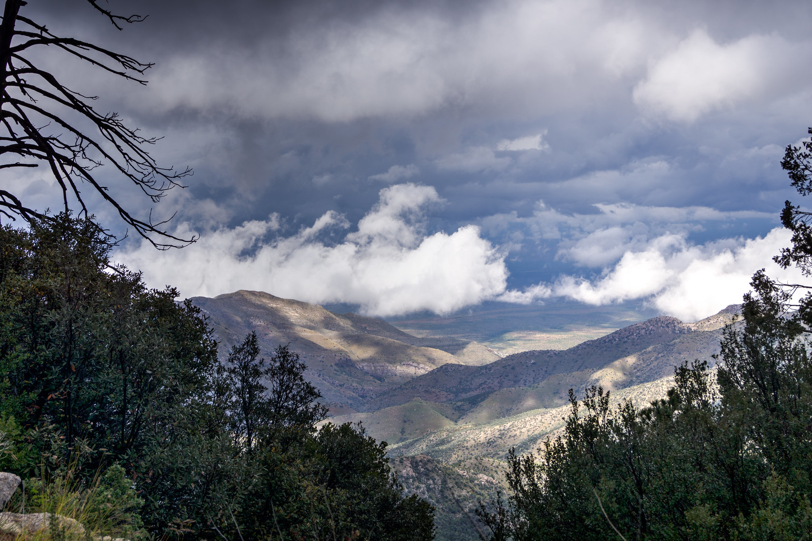
1410 Storm over the Molino Basin Trail and Shreve Saddle
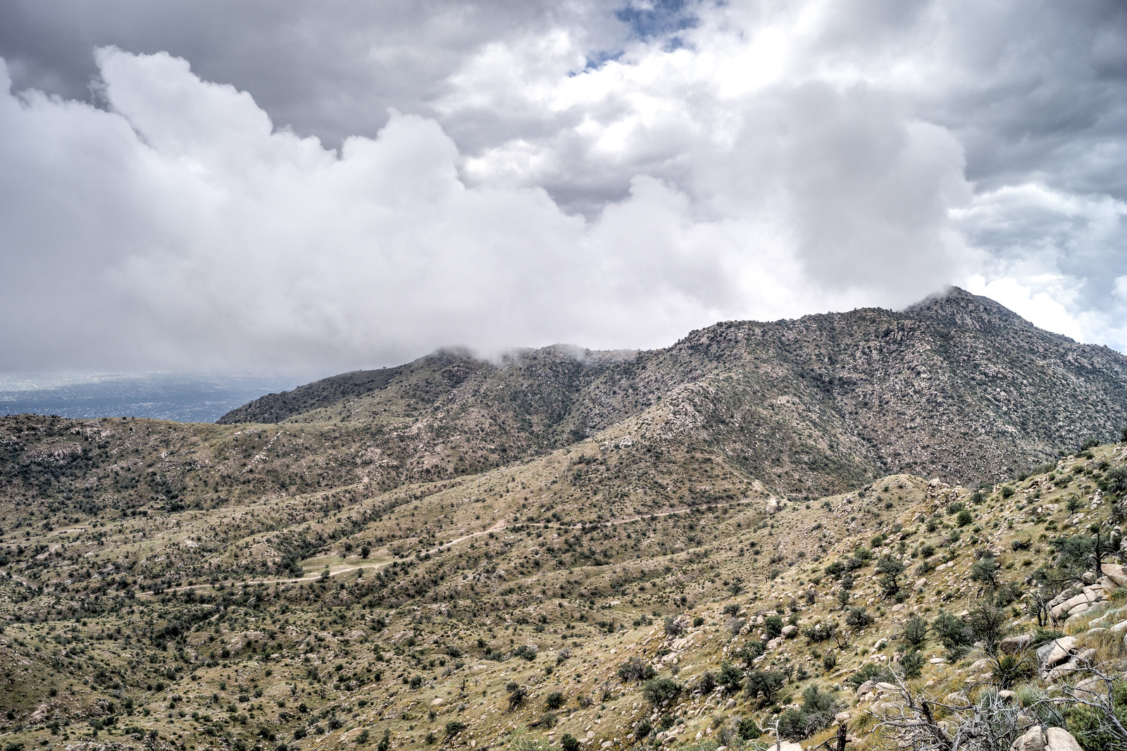
Looking down on the Molino Basin Trail and Shreve Saddle from Point 5506. October 2014.

The rain started late Tuesday night and by the end of the day on Thursday the Pima County Regional Flood Control District ALERT System reported that 5.35″ of rain had fallen near the top of the Santa Catalina Mountains (the same guage would report just over 6″ for the work week!) – but on Thursday in Tucson blue skies were starting to show thru the clouds and by Friday there would be no weather to enjoy on the mountain…

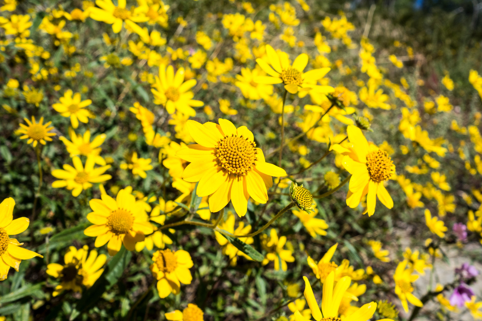
1410 Blazing Star
Blazing Star coated pants from my hike from the highway up to Point 5506 – the summer heat largely kept me (and pants and socks!) away from the Blazing Star, no longer I guess… October 2014.
1410 A Stormy view from San Pedro Vista
A stormy view from the San Pedro Vista. October 2014.
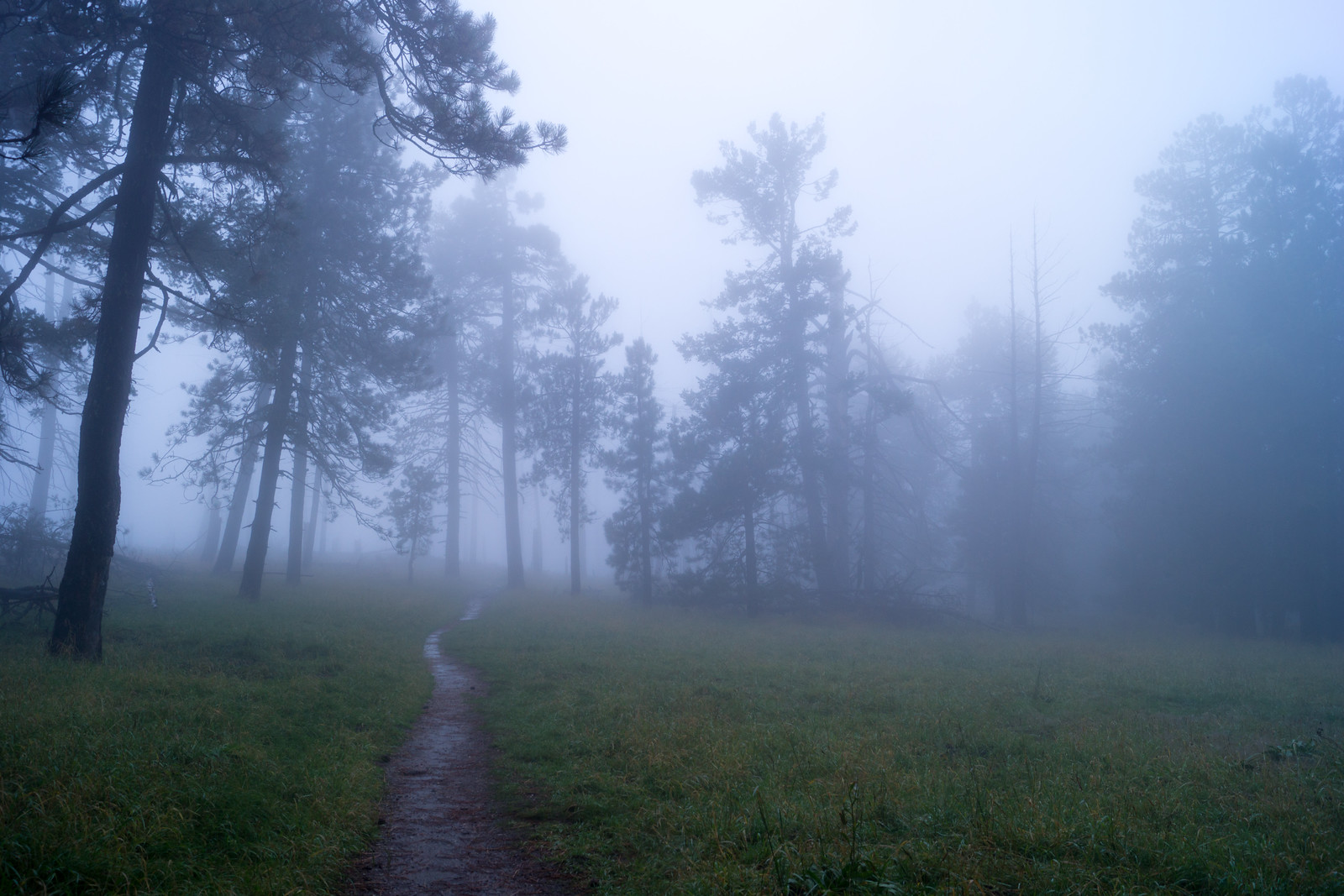
1410 Meadow Trail covered in Clouds
The Meadow Trail covered in clouds. October 2014.

Redington Pass Closure, Shifting Ground, Guided Hikes, Fall Colors, Bighorn Sheep Update

Redington Pass shooting area closure extended Cleanup work continues in the area – The Forest Service has extended the closure (details below) indefinitely to allow for clean up of several recreational shooting sites between Mileposts 5 and 7 on Redington Road .  The clean-up – which includes removal of soil with high lead concentrations – is currently expected to be completely mid-November. The press release also mentions that a Redington Pass Collaborative Management Plan is being developed that is “intended to increase visitor safety, enhance multiple uses and recreational experiences, and minimize user conflicts.” The Friends of Redington Pass is one group to explore if you are interested in this area.

Prohibited activities include parking a motorized vehicle between Mile Markers 5.0 and 7.0 along Pima County Road 371, and discharging a firearm, air rifle, paint ball gun, gas gun or archery equipment between Mile Markers 5.0 and 7.0, or within 0.6 miles of that segment of the road.

County testing for shifting ground under Catalina Highway; blame Aspen wildfire, KGUN9, Maggie Vespa – The article expands on the information available on the Pima County Website about construction on the Mount Lemmon Highway and talks specifically about the installation of monitors to detect ground movement. The county states that greater run-off after the fires is creating more stress on the highway infrastructure – but also says there is “no reason to worry”. (Expect construction above San Pedro Vista thru mid-November – delays are expected weekdays between the hours of 6 a.m. to 6 p.m. – possibly with a reduction to one lane and temporary closures to safely position heavy equipment.)

Guided Hikes in Catalina State Park in October – on the 12th, 19th and 26th there will be guided hikes in Catalina State Park – hopefully with nice cool temperatures as we move into Fall!

Autumn in Tucson: Lederhosen and leaves – Arizona Daily Star,  Ann Brown – A nice article mentioning a number of reasonably easy to access places on the mountains to see fall colors. The article also mentions the Oktoberfest at Mount Lemmon Ski Valley – Saturdays and Sundays 11:45 a.m.-5 p.m. thru October 12.

The Bighorn Sheep Restoration Project Status update for 9/15 to 9/28 is available (all updates are currently available here) – This updates includes information about Bighorn Sheep populations and translocation efforts that have taken place in other parts of Arizona to give some perspective/comparison to the project in the Santa Catalina Mountains – interesting reading! Also included in this update is another mention of the upcoming research/vegetation sampling and a call for volunteers:

If you’d like to get involved (and enjoy some pretty spectacular hiking along the way), please contact either Research Biologist Andrew Jones ([email protected]) or Larisa Harding ([email protected]) and let us know as we begin to organize this effort. Sampling will most likely occur from early January through the end of February 2015. Come join in the fun and contribute to the research efforts!
Construction, National Public Lands Day, Trail Dust Days

Construction – Mt. Lemmon Highway at Mile Post 18.2 – Construction at milepost 18.2 will mean weekday delays accessing trailheads above San Pedro Vista – from the article:

Construction activities will be concluded on weekdays between the hours of 6 a.m. to 6 p.m. During these times, traffic control will be necessary. Travel will be reduced down to one lane of travel with flaggers directing traffic. Construction activities will cause temporary delays in traffic so that heavy equipment can be safely positioned. During non construction hours two lanes of traffic (one in each direction) will be restored.

Celebrate National Public Lands Day with fee free day and activities, KVOA.com, Anthony Victor Reyes – “In celebration of National Public Lands Day on Saturday, Sept. 27, Sabino Canyon and Mt. Lemmon will offer a variety of activities and waived Forest Service standard amenity fees.” – see the article for more details.

Tucson Rough Riders Trail Dust Days – The Tucson Rough Riders are a 4WD club founded in 1976. Trail Dust Days will be based in Catalina State Park from October 16-19 and feature games, food, a raffle and off-road runs. See the link for more details – registration is required.

Teenager rescued from Sabino Canyon, KGUN9, Shelby Payne – between Tram stops 8 and 9 – “The 16 year old girl slipped while attempting to jump into a pool of water from a cliff and got stuck onto a ledge approximately 10 feet down.”

Bighorn Sheep Restoration Project Status update for 9/1 to 9/14 was recently released and contained no new details.

Oracle Ridge, Catalina Camp, Red Ridge Loop – 9/12/2014

1409 Running Down the Oracle Ridge Trail
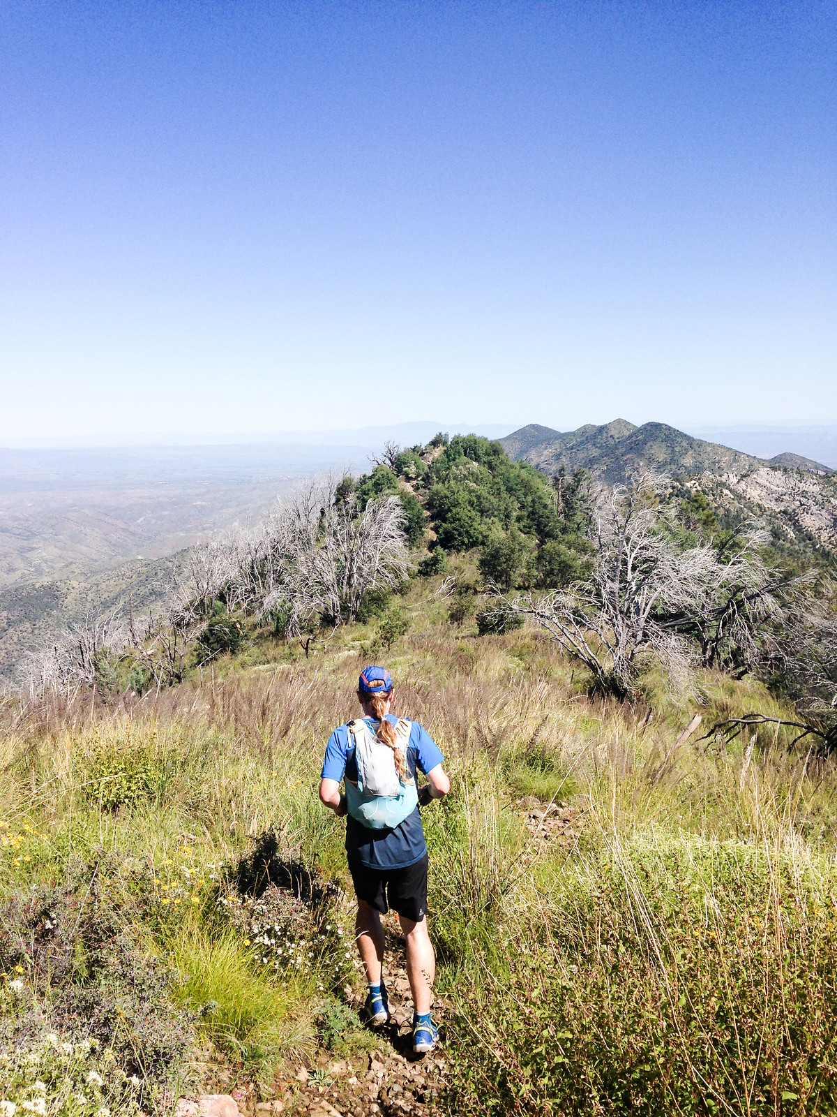
Running down the Oracle Ridge Trail – massive views, green and flowers! Photo by Korey Konga. September 2014.

When discussing where to go hiking with a visitor to Tucson you can count on the Marshall Gulch Trail and the Aspen Trail getting mentioned in some loop/combination/variation – and certainly there can be NO argument about these being sublime and incredible trails.

But as lovely as those trails are the loop that – for me – has come to best represents the spirit of the Santa Catalina Mountains is the Oracle Ridge – Catalina Camp – Red Ridge loop. This loop has astounding views, steep descents, cows, mines, water, washed out two-track, a bit of pavement, the Arizona Trail, flowers, steep climbing, more steep climbing, bones, big trees, burned areas, One Park Place and even an occasional cactus…

1409 Oracle Ridge Trail two track covered in Flowers
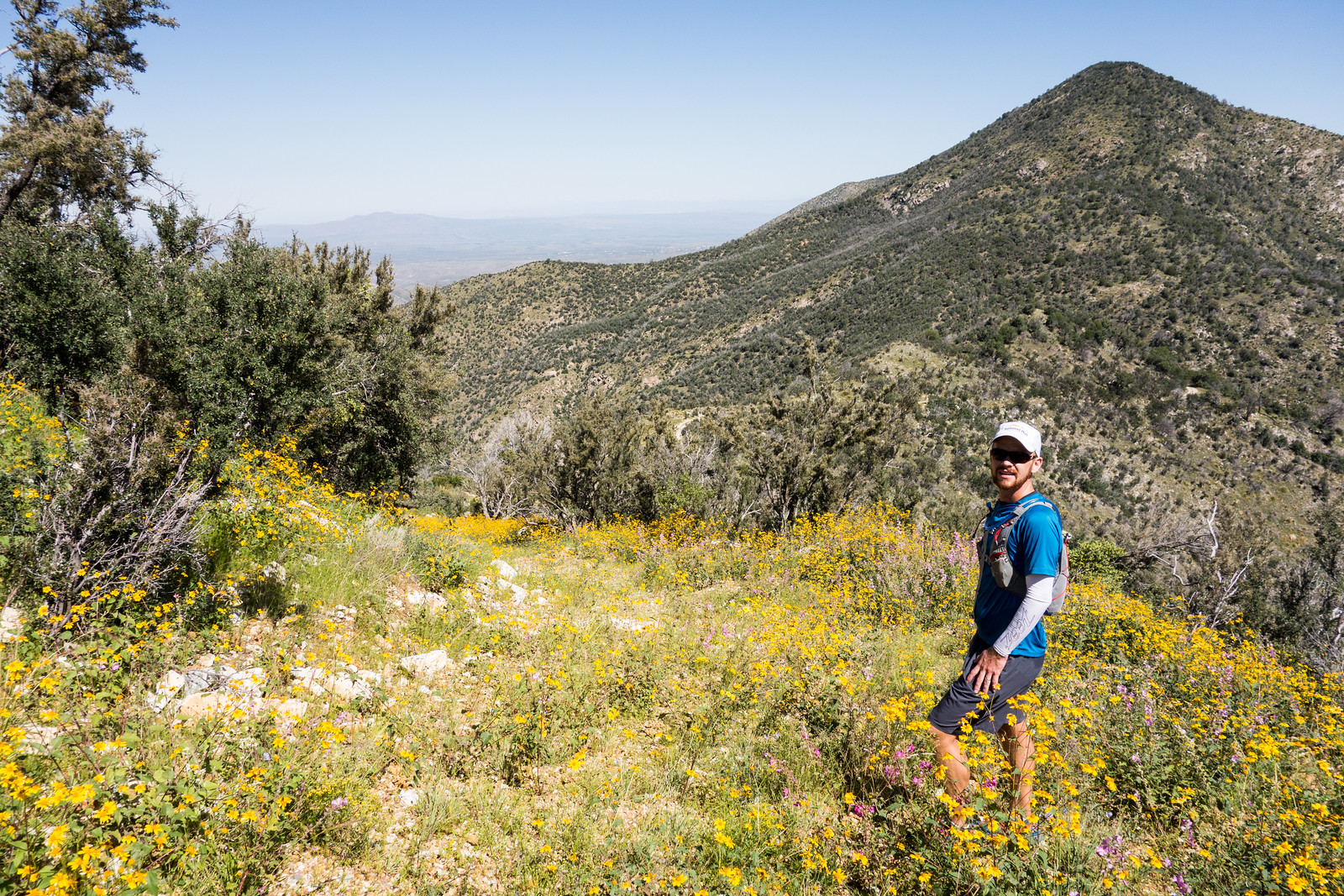
Taking a picture break on Oracle Ridge – flowers covering the old road. September 2014.

The harshness, history and beauty of this loop may be without parallel in the range – 9 miles, 2550′ of elevation gain/loss – with the great company of Korey Konga!

1409 An old mine near the Catalina Camp Trail
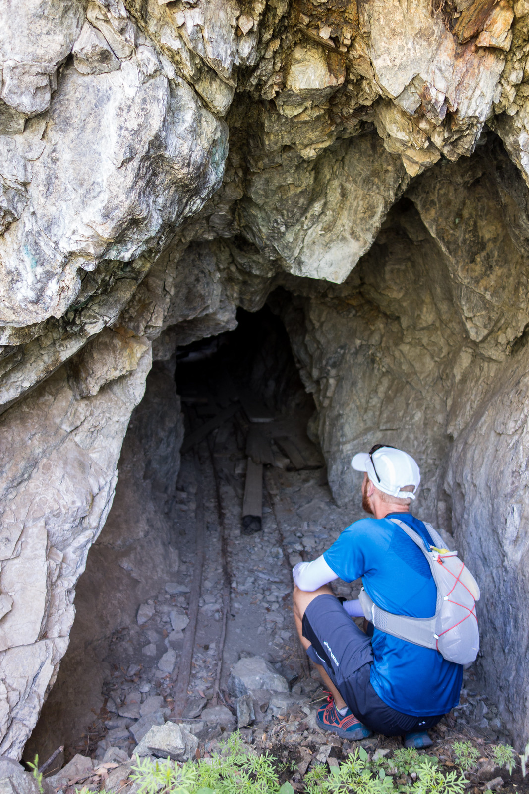
Korey checking out a mine not too far from the Catalina Camp Trail. September 2014.

Bigelow Trail, Butterfly to Mount Bigelow, Bigelow Road and the Highway – 9/12/2014

1409 Golden Eye
Flowers!!! The flowers along the Bigelow Trail and Butterfly Trail up to Mount Bigelow were spectacular!

Dirt roads and paved mountain roads may not always be my first choice for travel on foot – but I have to admit that some of the most lovely vistas I have ever been to are along roads – and sometimes new routes magically open up once you abandon a strict trails-only approach.

Up the Bigelow Trail – lovely flowers and big trees, onto the Butterfly Trail up to Mount Bigelow, down Bigelow Road – great views and nice to see all the people out camping, onto to highway – Turkeys flying across and on the side of the road – and back to the Bigelow Trailhead – 6.3 miles, 860′ of elevation gain/loss.