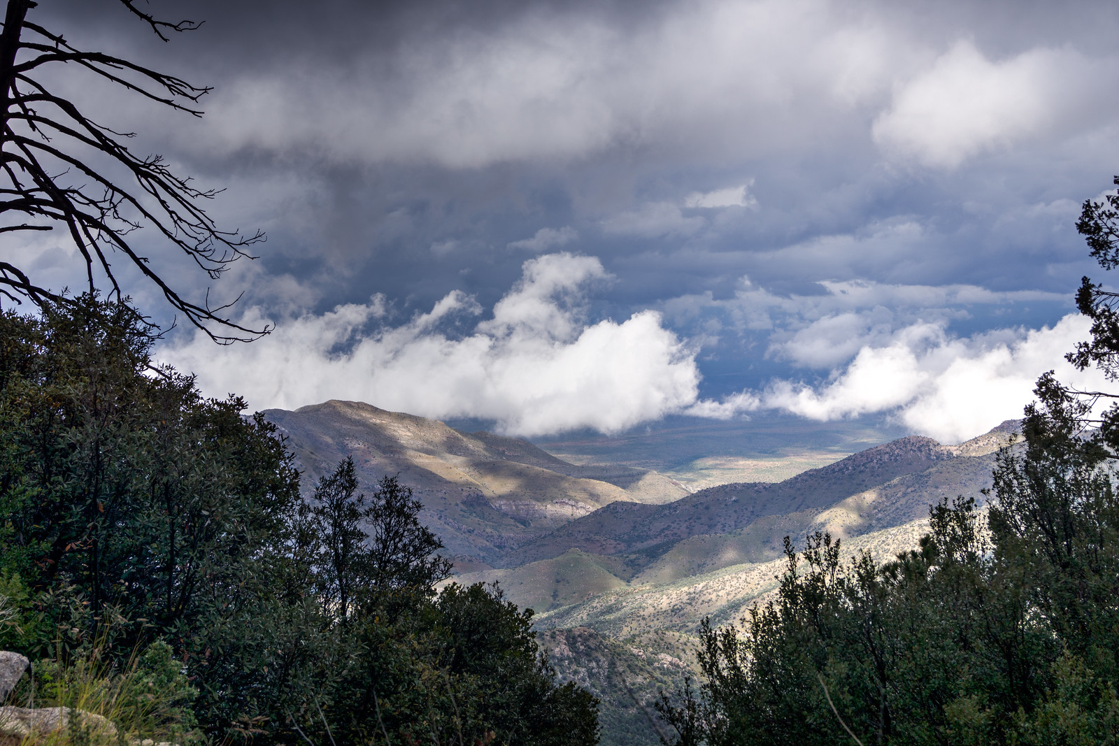
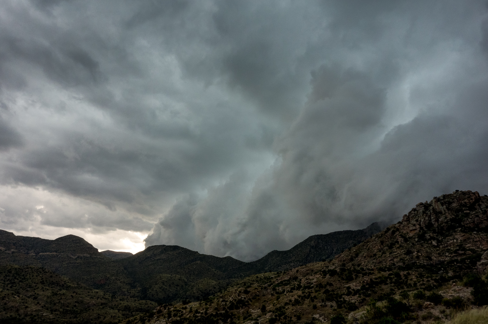
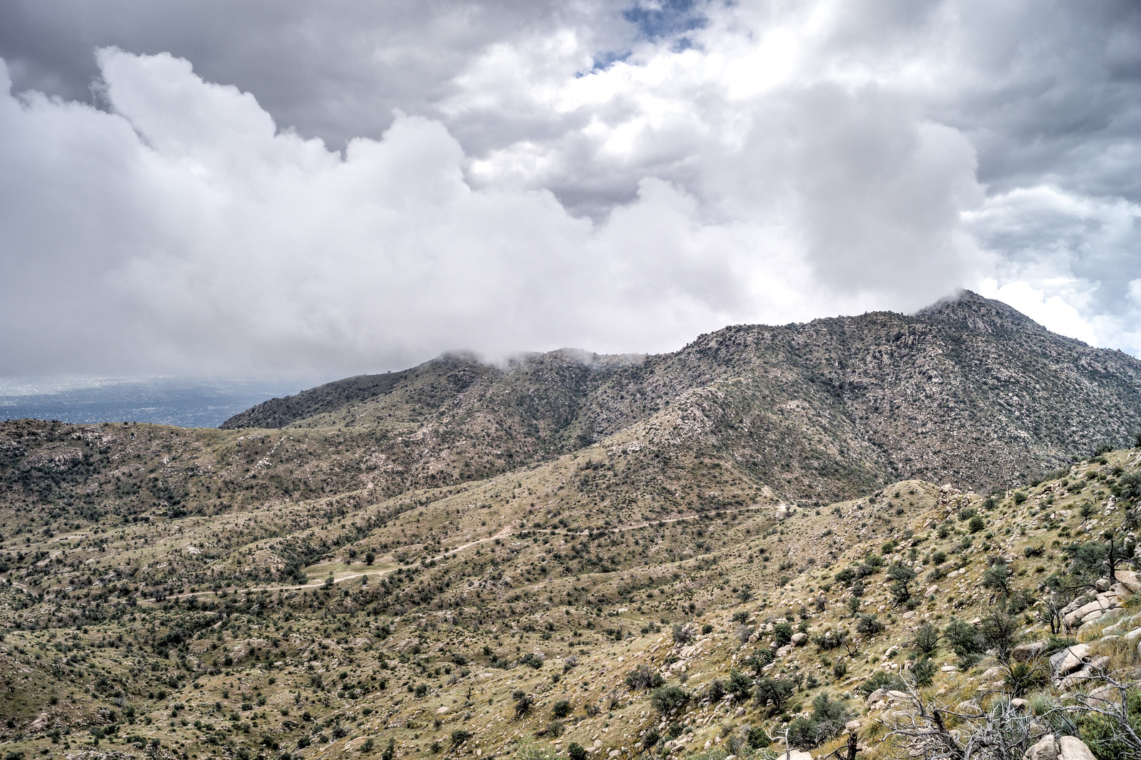
Waves of rain and hail were the highlights of the day – it was beautiful to see the mountain covered in clouds and wet with rain!
Waves of rain and hail were the highlights of the day – it was beautiful to see the mountain covered in clouds and wet with rain!
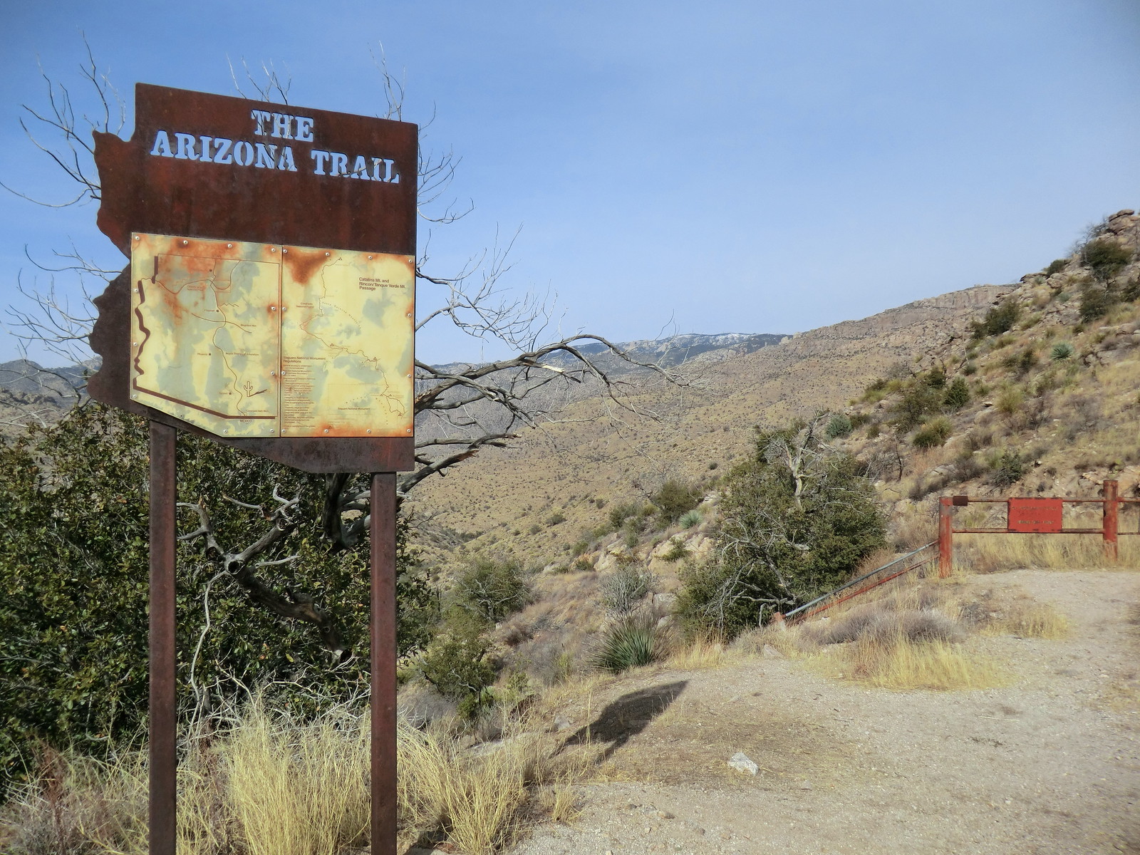
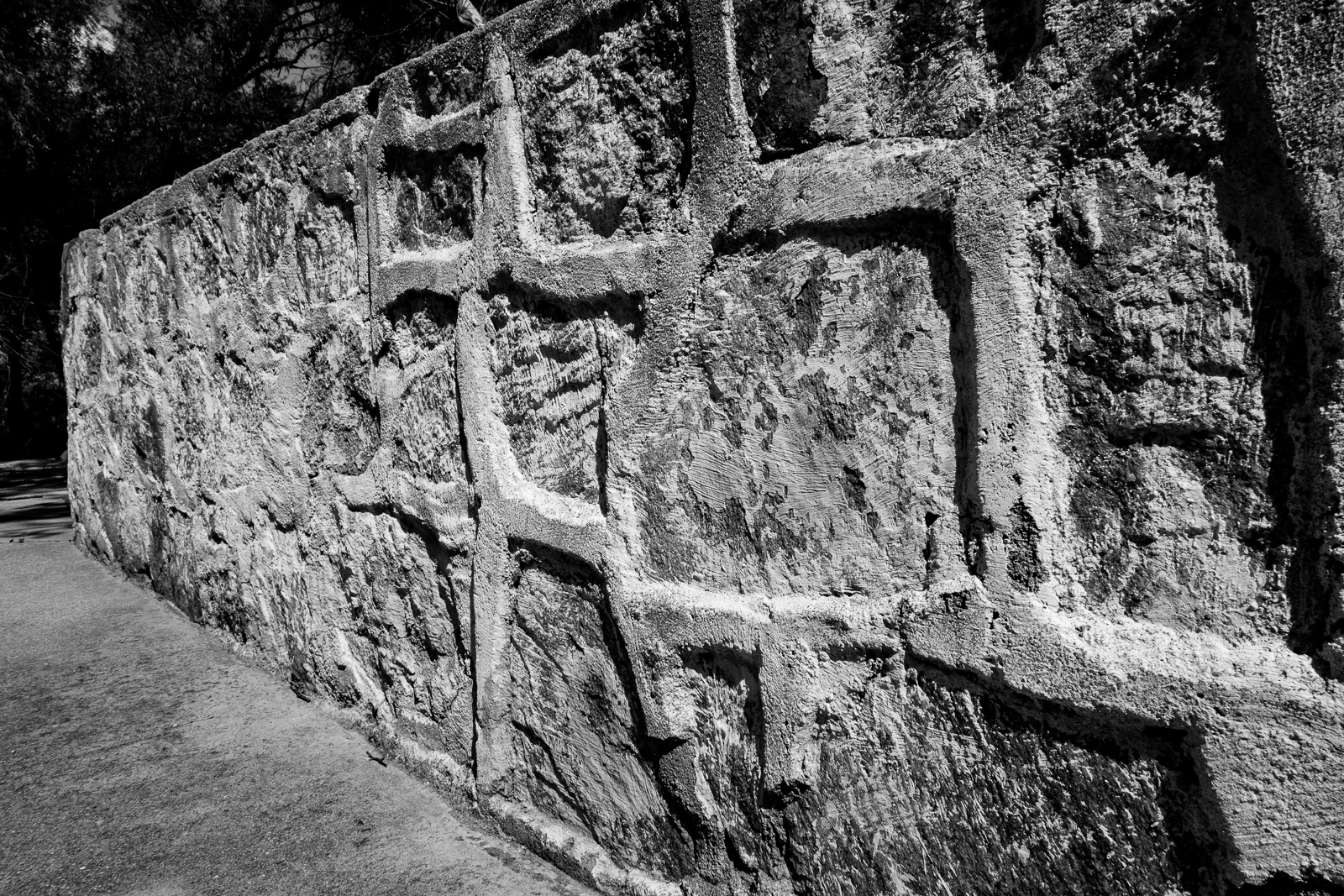
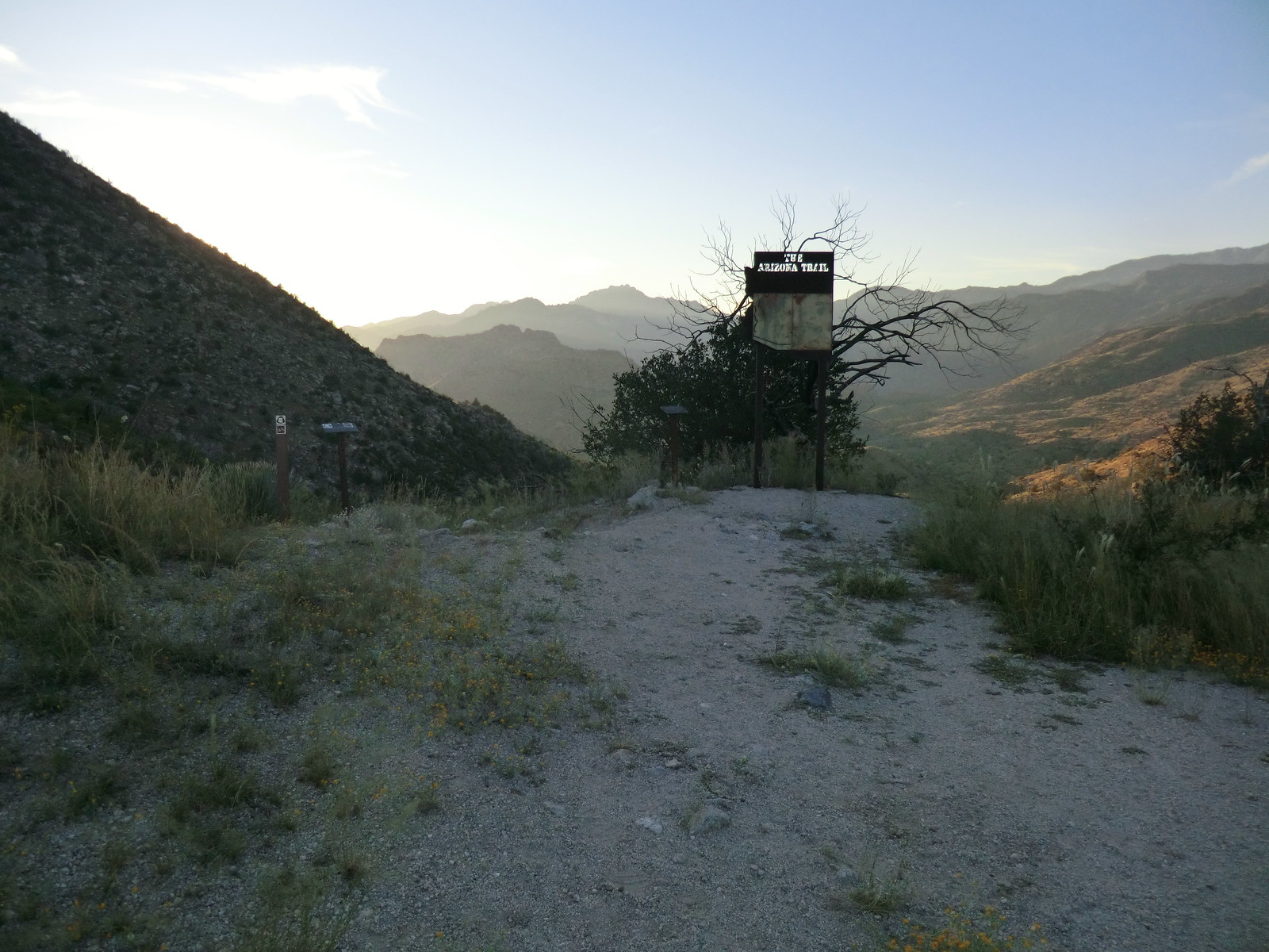
For years the sign above greeted you at Shreve Saddle on the edge of the Pusch Ridge Wilderness where the Molino Basin Trail and Sycamore Reservoir Trail meet – but it is now gone…
I liked the old sign – but the information was not up to date, ‘one less giant sign in the backcountry’ seems like a good idea and the view is nicer without the sign – probably a change for the better, but I still miss it just a little…
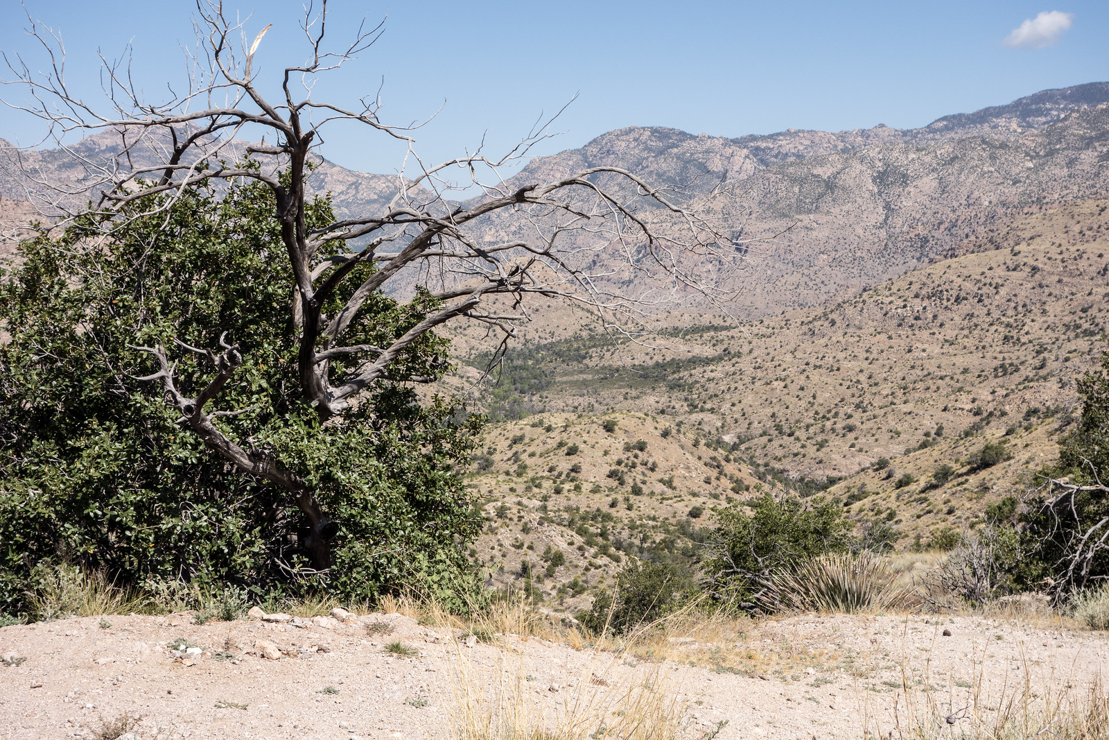
We started at the Bigelow Trailhead, walked past the gate that closes Organization Ridge Road to public motorized traffic in the winter and continued on to the Palisade Trailhead. The road was icy and there was just enough snow at the trailhead to give a pleasant hint of winter, but not enough to require anything other than a little caution.

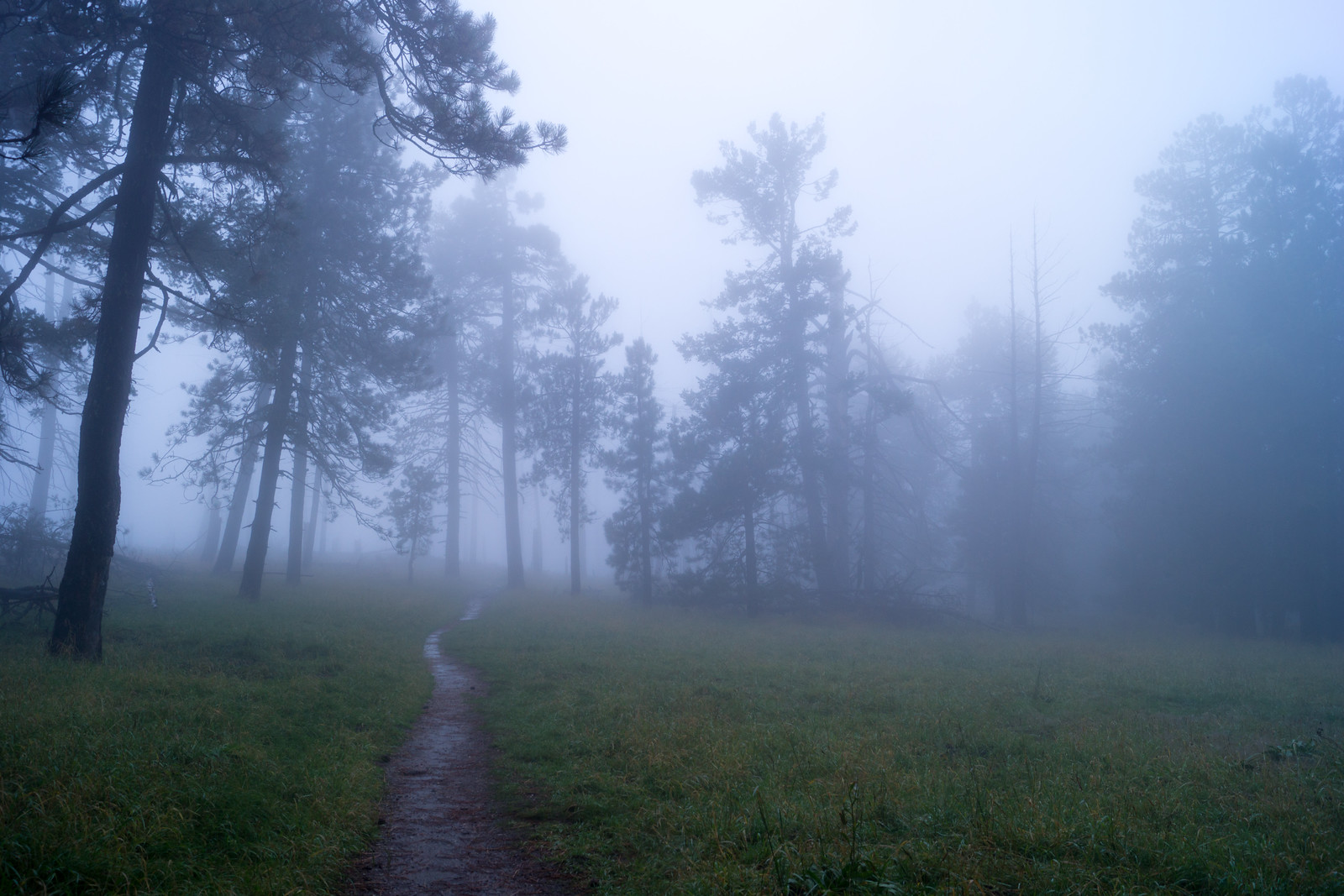
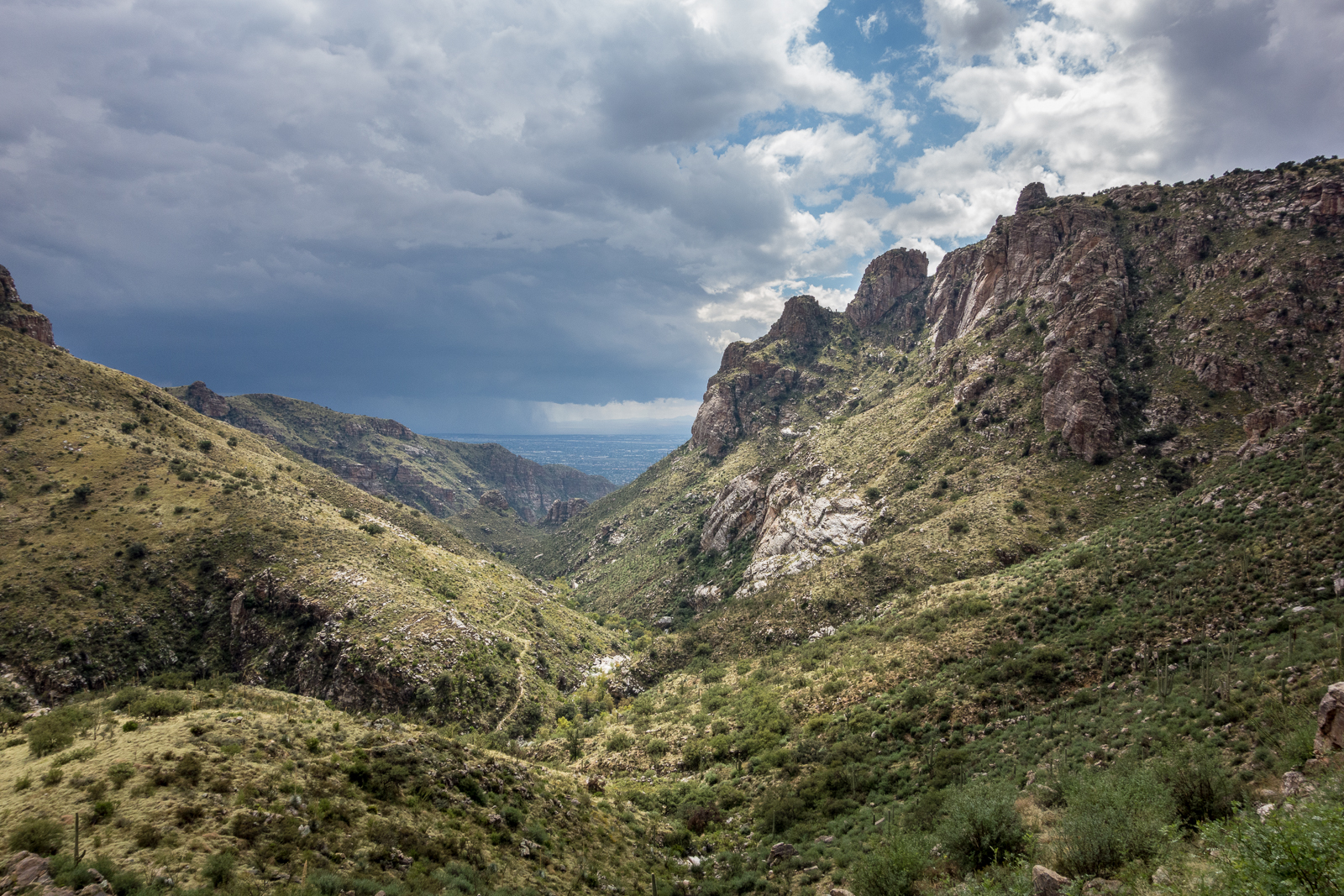
We could hear Palisade Canyon flowing below – it looked like quite a bit of water from the trail – walked snowy sections of Palisade Trail where the shade preserved the remains of the last storm, paused for birds and enjoyed the polished stone in Pine Canyon before reaching Mud Spring.

The waterfall in Pine Canyon was roaring away – quite a sight – and we paused just before the trail begins to plunge downwards to enjoy the view – Thimble Peak to Brinkley Point!

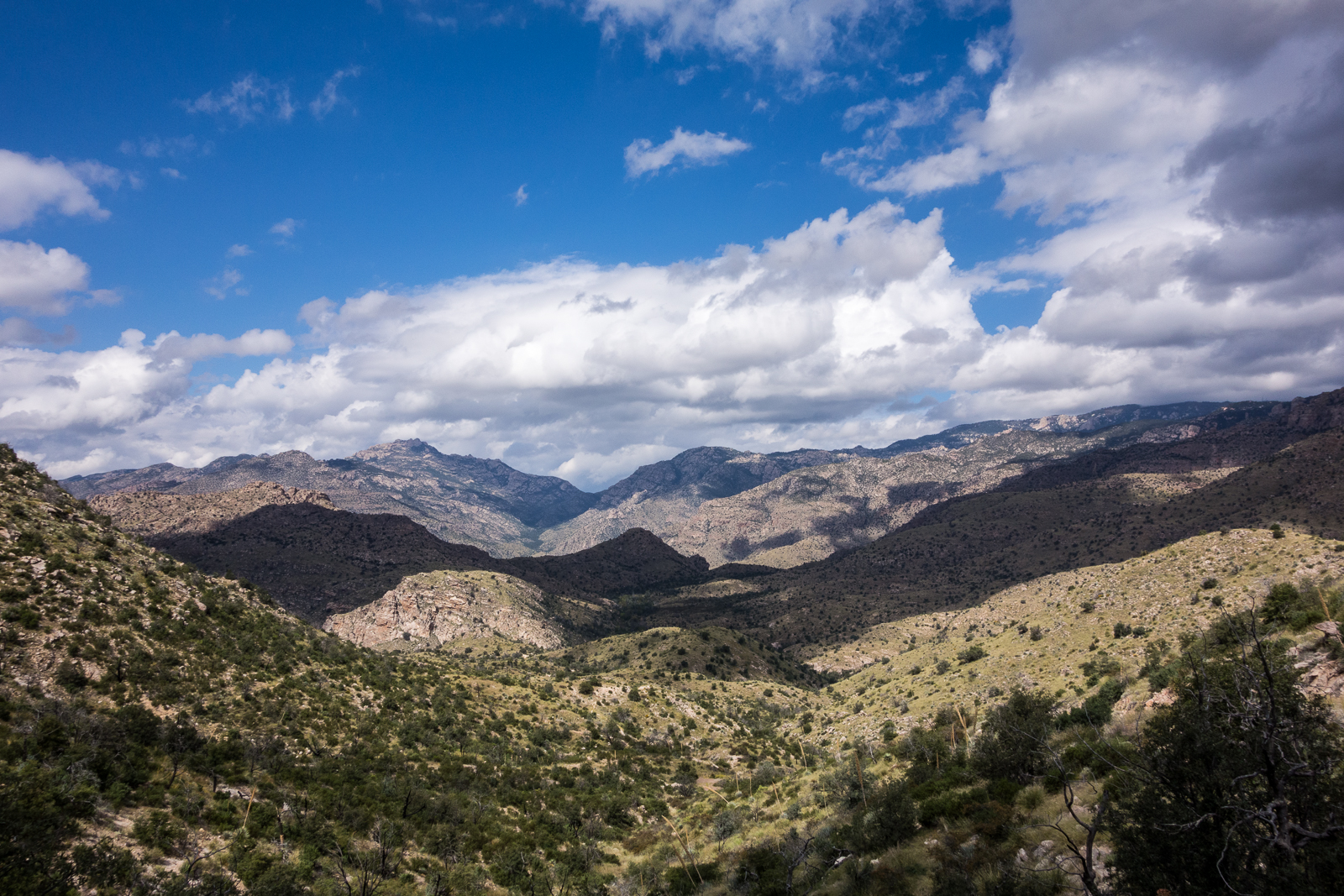
Down to the junction with the East Fork Trail and then up – past the Bear Canyon Trail and onto the Bear Canyon Trail, across Sycamore Canyon, past Sycamore Reservoir where Sycamore Canyon and Bear Canyon were pouring an impressive amount of water over the dam, up to Shreve Saddle and then down the Molino Basin Trail to the car we had left at the Gordon Hirabayashi Recreation Site earlier in the day.

Descending the Palisade Trail is a great way to see everything from pine forest to cactus and take in quite a few impressive views. Currently miles 4-6 of the Palisade Trail are distinctly more overgrown and less used than the upper sections of the trail – with some attention and effort you should be able to find the trail, but be prepared to use your map and navigate if needed.
12.8 miles, +1,400’/-4,350′ of elevation gain/loss.
The rain started late Tuesday night and by the end of the day on Thursday the Pima County Regional Flood Control District ALERT System reported that 5.35″ of rain had fallen near the top of the Santa Catalina Mountains (the same guage would report just over 6″ for the work week!) – but on Thursday in Tucson blue skies were starting to show thru the clouds and by Friday there would be no weather to enjoy on the mountain…