Point 5166 South of the Bellota Trail, 10/25/2014

1410 Ridge East of the Highway near the Ruins
The ridge east of the Highway near the Ruins climbing area. October 2014.

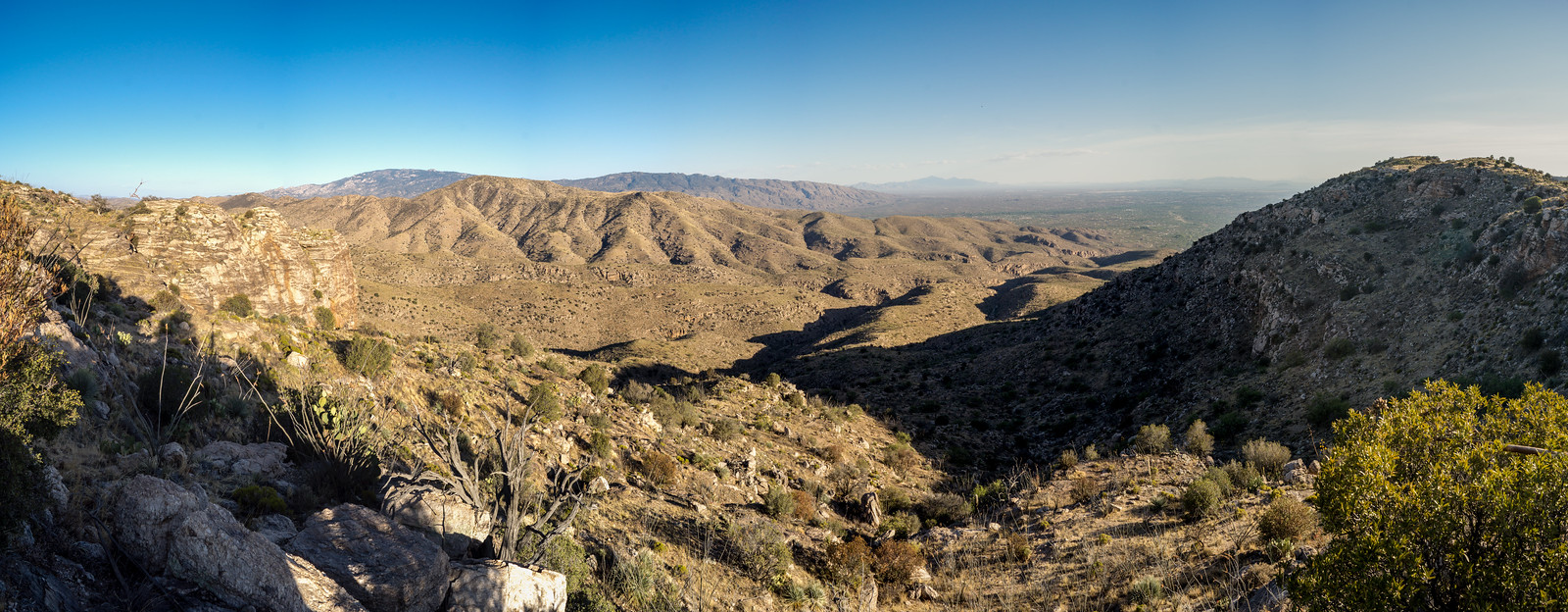
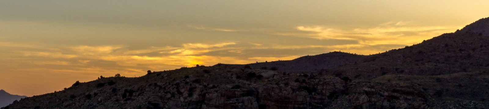
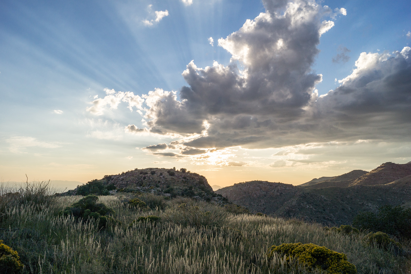
We started at the Molino Canyon Overlook and took the un-official climber’s trail (to the Ruins) out of Molino Canyon and up to the ridge. Earlier in the year we turned to the south and visited the Weathertop area – today we turned north and hiked in the sea of grass and shindaggers along the ridge while the sun disappeared in the west.

1410 The Day Trailing into West
The day trailing off to the west. October 2014.

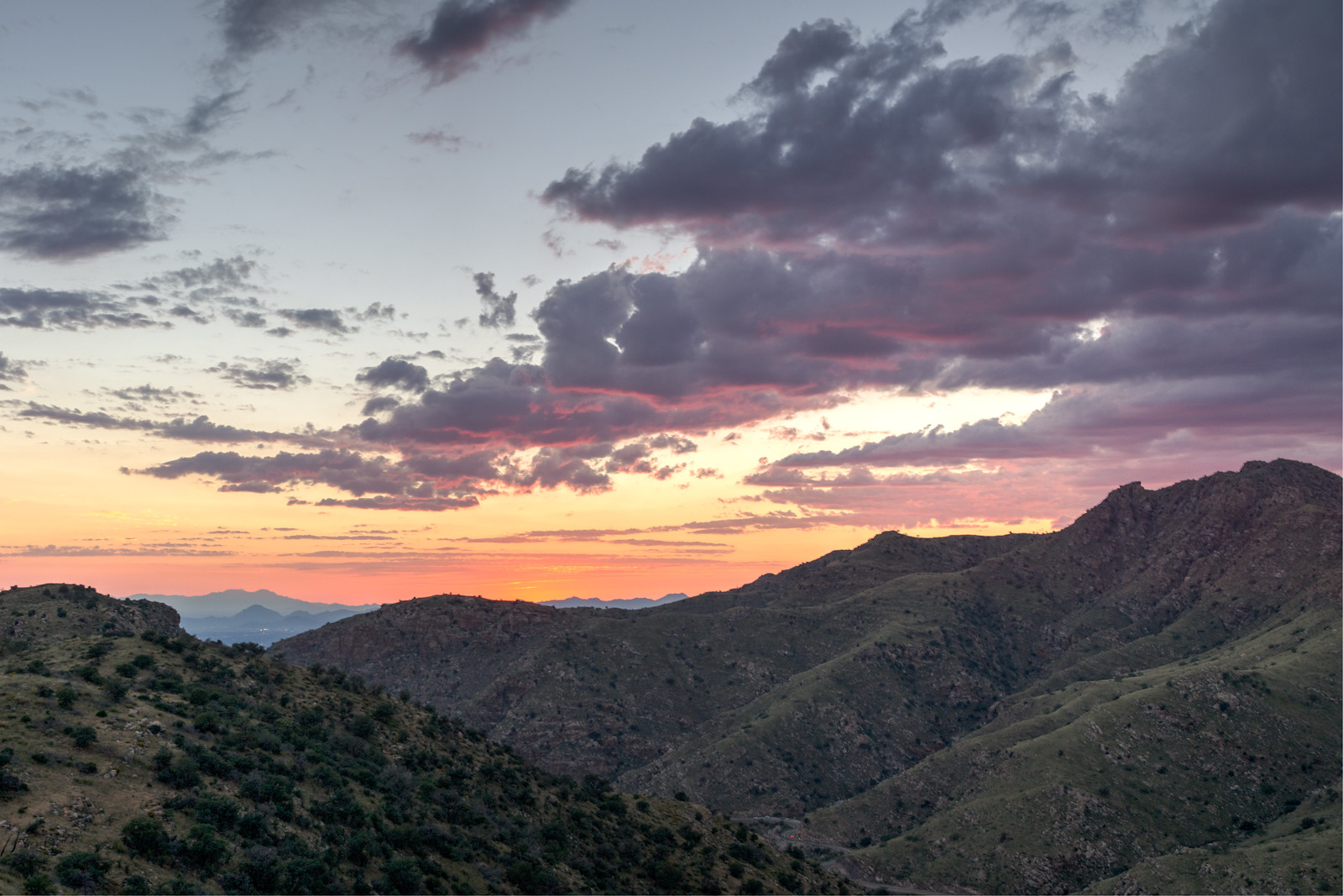
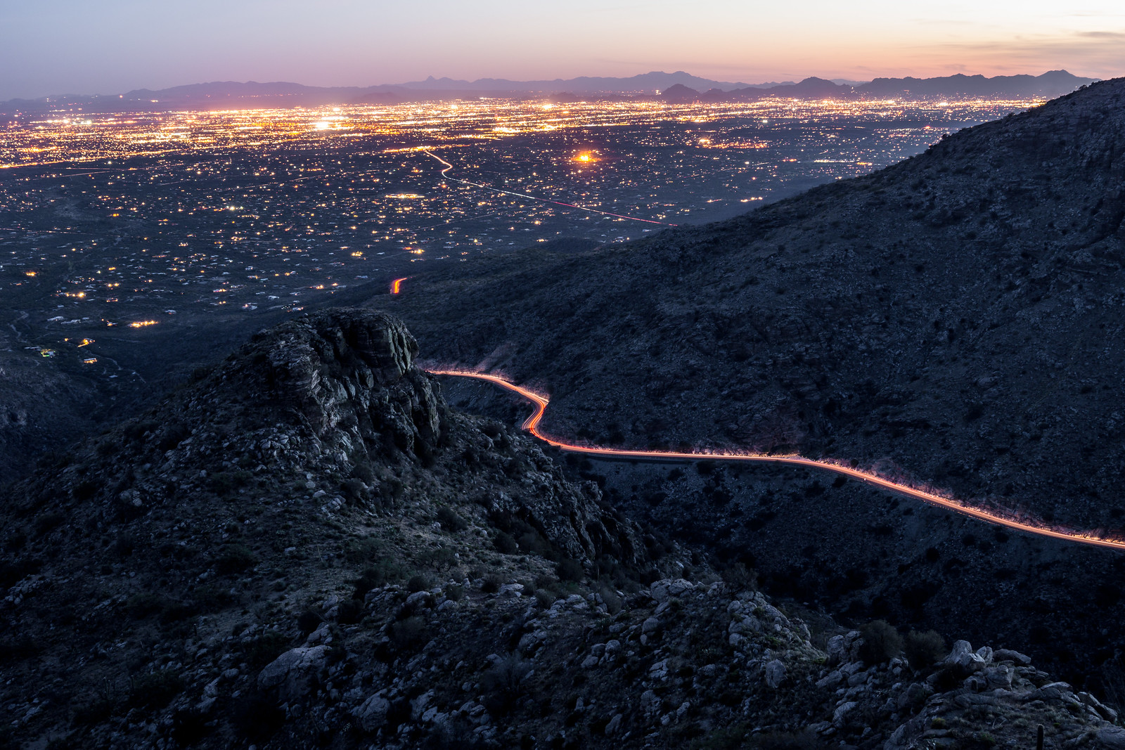
We reached Point 5166 in the dark – the rocky high point is south of the Bellota Trail – we watched lights on the highway and Redington Road, City Lights, Clouds and the stars.

1410 Night on Point 5166 above the Bellota Trail
On Point 5166 watching cars coming down the highway with the clouds lit by the city lights. October 2014.

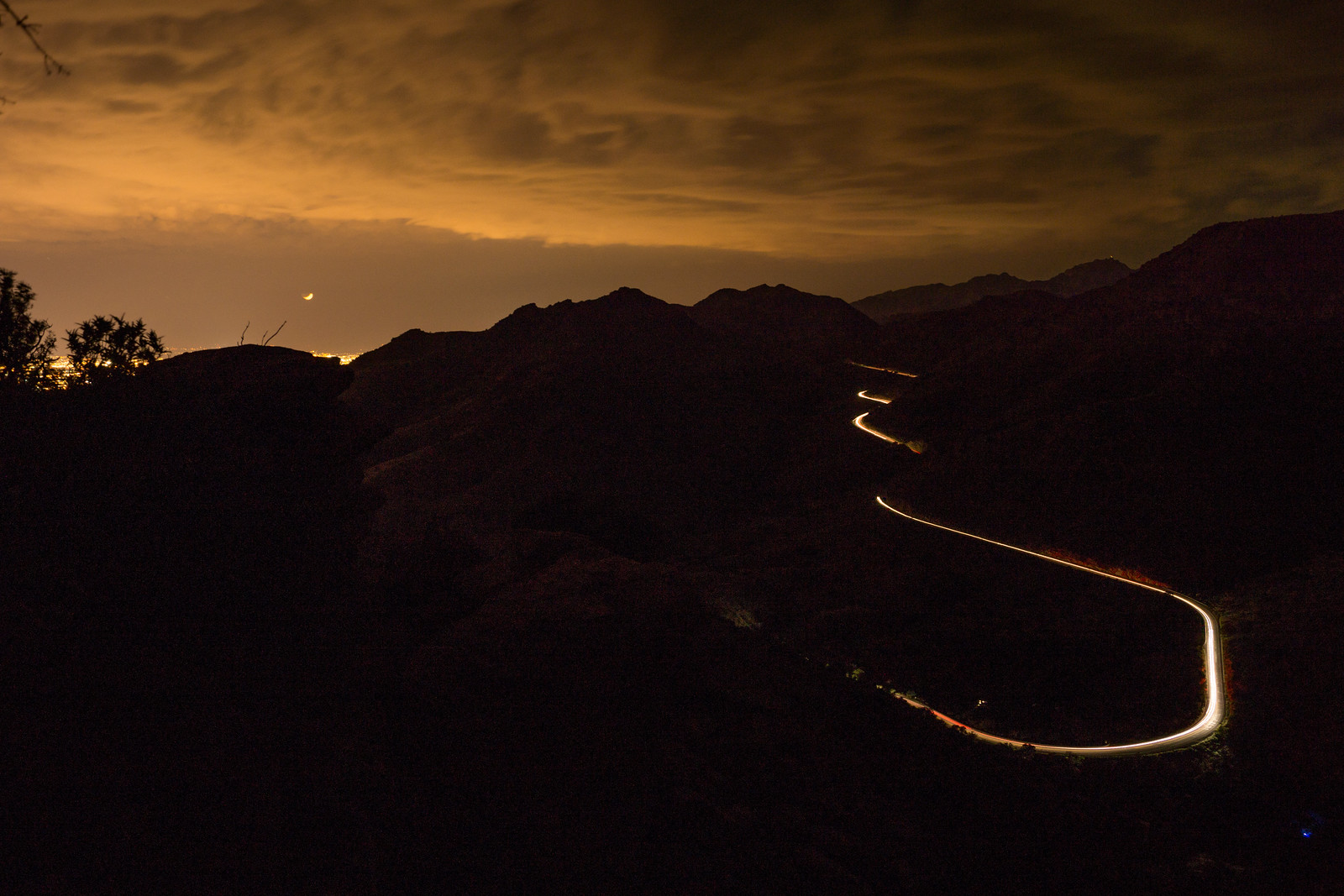
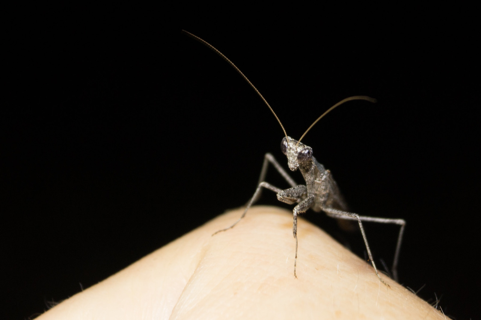
On the Bellota Trail we sat and pulled the painful grass seeds out of our shoes while a Mantis used us and our lights to hunt. With the finish on the highway back to the car – 4.5 miles, +/-1250′ of elevation gain/loss.

1410 A Mantis on the Bellota Trail
Mantis. October 2014.

Point 4831 (Weathertop) and Point 4773 (The Ruins) – 2014/6/22

Southeast, and above, the Molino Canyon Overlook there is an impressive ridge – I have been up to the ridge a number of times to climb at The Ruins, but had never spent any time hiking or exploring in the area… Arriving at the Molino Canyon Overlook at 5pm meant we had just over 2.5 hours to get to Point 4831 and see the sunset on this long summer day – plenty of time for several breaks in the shade along the steep climber’s trail to the ridge.

1406 The Ruins to Point 4831
A view from the ridge – climbing area ‘The Ruins’ on the left, Agua Caliente Hill center, Point 4831 on the right (above the Weathertop climbing area). June 2014.

Ridge – Point 4773 (above the Ruins) – and then on to Point 4831. The trail is – mostly – easy to follow, only occasionally disappearing. The top seems so close! False peak… We continue along the path, under Point 4831 to a great rocky ledge with an old fire ring – a nice spot to sit and enjoy the sunset.

1406 Faint Clouds in the Sunset
Sunset from a rocky ledge below Point 4831. June 2014.

We watch the cars and city light as it gets dark – 

1406 Fading Light from near Point 4831
Watching the fading light – car lights on the highway and the Tucson City Lights in the background. June 2014.

and eventually turn on our headlamps and head down… 3.5 miles, 1000′ of elevation gain/loss – there is a well used climber’s trail from the Molino Canyon Overlook up to the ridge but note that it is not an official trail.