With water flowing all over the range we hiked to Maiden Pools to see the water – rushing, as expected – but the sunset and night in the canyon were the highlights of the hike…


With water flowing all over the range we hiked to Maiden Pools to see the water – rushing, as expected – but the sunset and night in the canyon were the highlights of the hike…
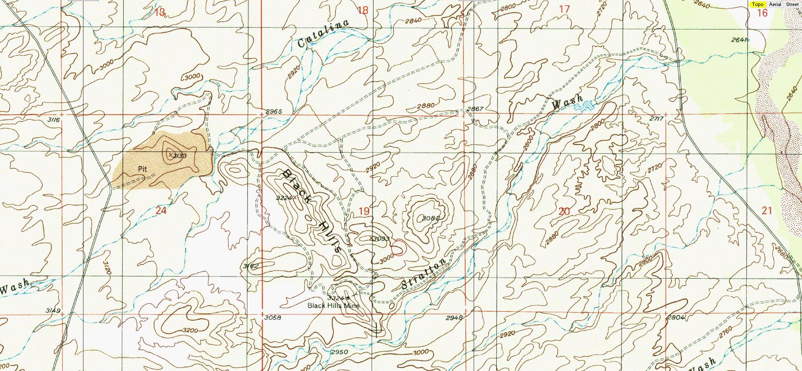
East of Black Hills Mine Road, west of the San Pedro River, north of Stratton Wash and south of Catalina Wash the Black Hills rise out of the desert on Arizona State Trust Land. A packet of information online via the Arizona Geological Survey details the mining history back into the 1940s.
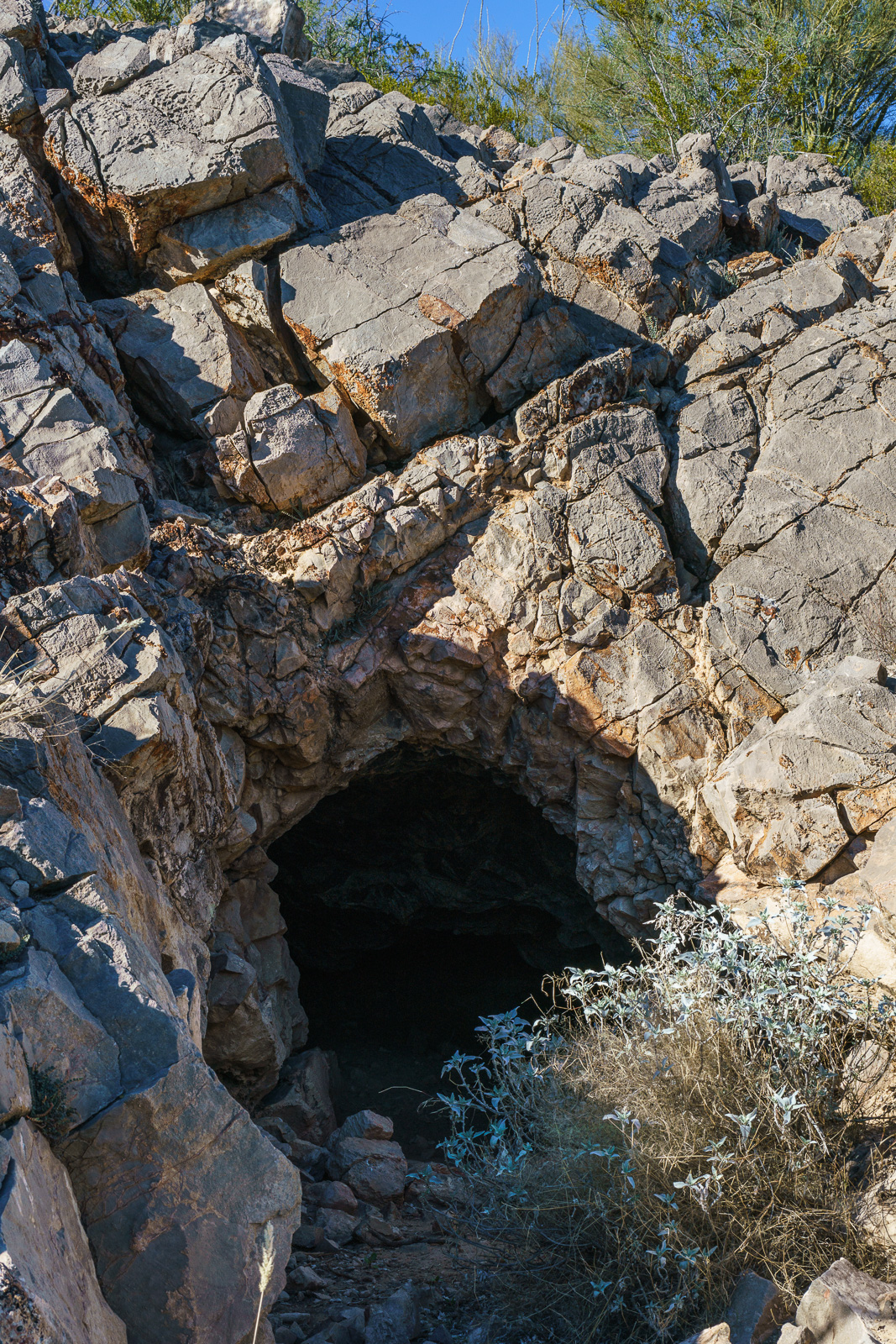
1947 – “Mr. Reuss and his partner acquired the Black Hills property several years ago. They built a road to it, constructed a camp, and equipped it with a small compressor and accessory tools. The partners then spent nearly two years developing the area. The chief work is a crosscut tunnel about 200 feet in length. Development abandoned when the partners ran out of funds to carry on.”
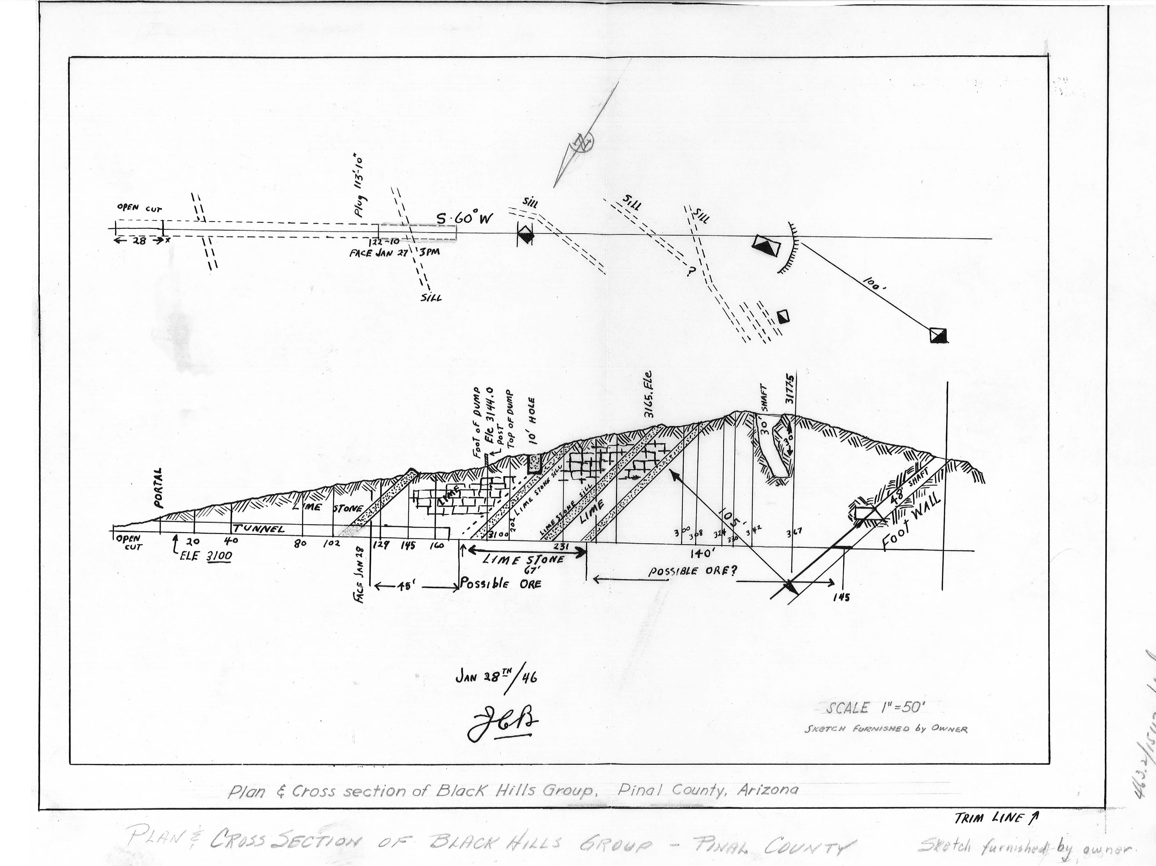
1955 – “Proposed Plans Operators wish to sell the limestone or lime to the San Manuel Copper Corp. by selling the limestone as mined, or by installing a lime kiln to treat the limestone.”
1983 – “The Magma Copper Co. owns the original Black Hills Mine, Pinal County and its associated patented claims covering most of the west half of Section 19, T10S RI8E. The company also owns all of the adjacent Section 24, T10S RI7E; in the NE 1/4 of this section lies the current Black Hills limestone quarry where, according to company officials, enough limestone has been mined and stockpiled to last some 10 years.”
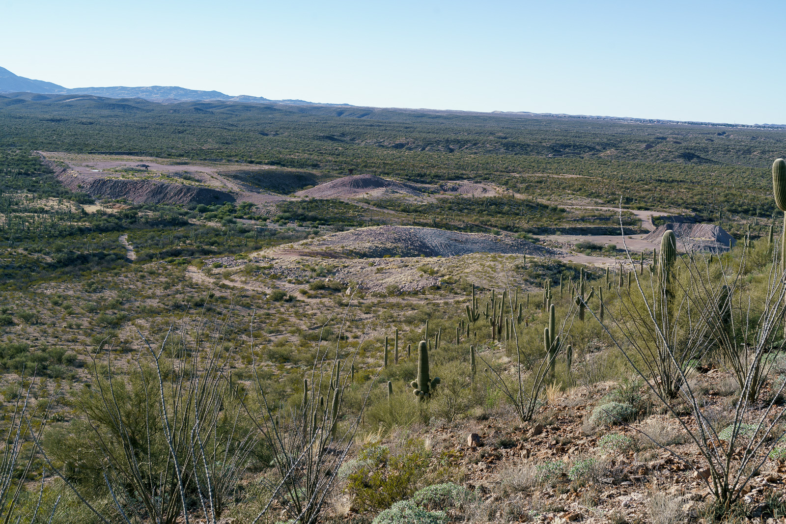
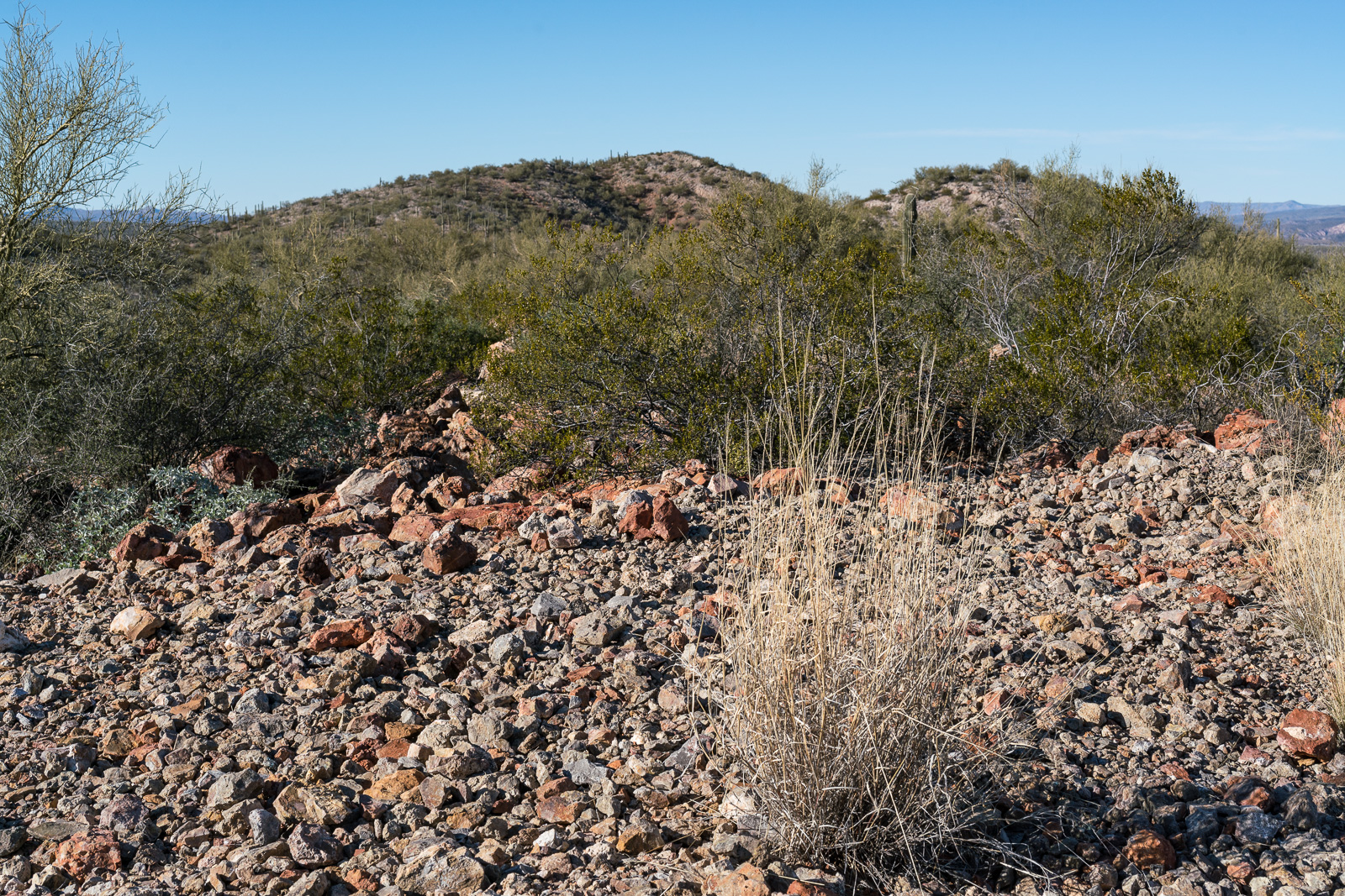
For this hike I parked in a pull out on the west side of Redington Road just south of Stratton Wash and walked up the wash to the Black Hills. Stratton Wash and the Black Hills are on Arizona State Trust Land, a permit is required. The area around the quarry between the Black Hills and Black Hills Mine Road is private property – the mix of land ownership in this area makes it valuable to have a map showing property boundaries if you are exploring.
Much of San Pedro River east of the Santa Catalina Mountains (north of Redington Road meeting the river, south of San Manuel/Magma Copper) is surrounded by private land – however Stratton Wash east of Redington Road down to (and across) the San Pedro River is on Arizona State Trust Land – walking down to the (usually dry) river is an interesting way to start the day before walking up canyon to the Black Hills.

Today is the first of nine public meetings that the Coronado National Forest is holding in the Santa Catalina Ranger District to explain the details of the Developed Recreation Program and to gather input on potential solutions for restructuring the program – a quote from the CNF’s information page succinctly explains the issue:
The estimated price tag needed to ensure that the CNF’s 204 developed recreation sites remain open, safe, clean, and in good repair is $3.8 million. The combined revenue currently received to manage these sites is $1.3 million, leaving a gap of $2.5 million annually. Without action to close the gap, developed recreation facilities and recreation opportunities are threatened.
The suggested strategies to close this gap are Eliminate developed recreation sites, Transfer management of developed recreation sites to concessionaires or partners, Increase fees or Increase the number of fee sites with the additional suggestion that: “No single strategy will close the gap. Likely, a combination of strategies will align the CNF more closely with sustainability goals.”
The meetings are listed below and comments can be made online.


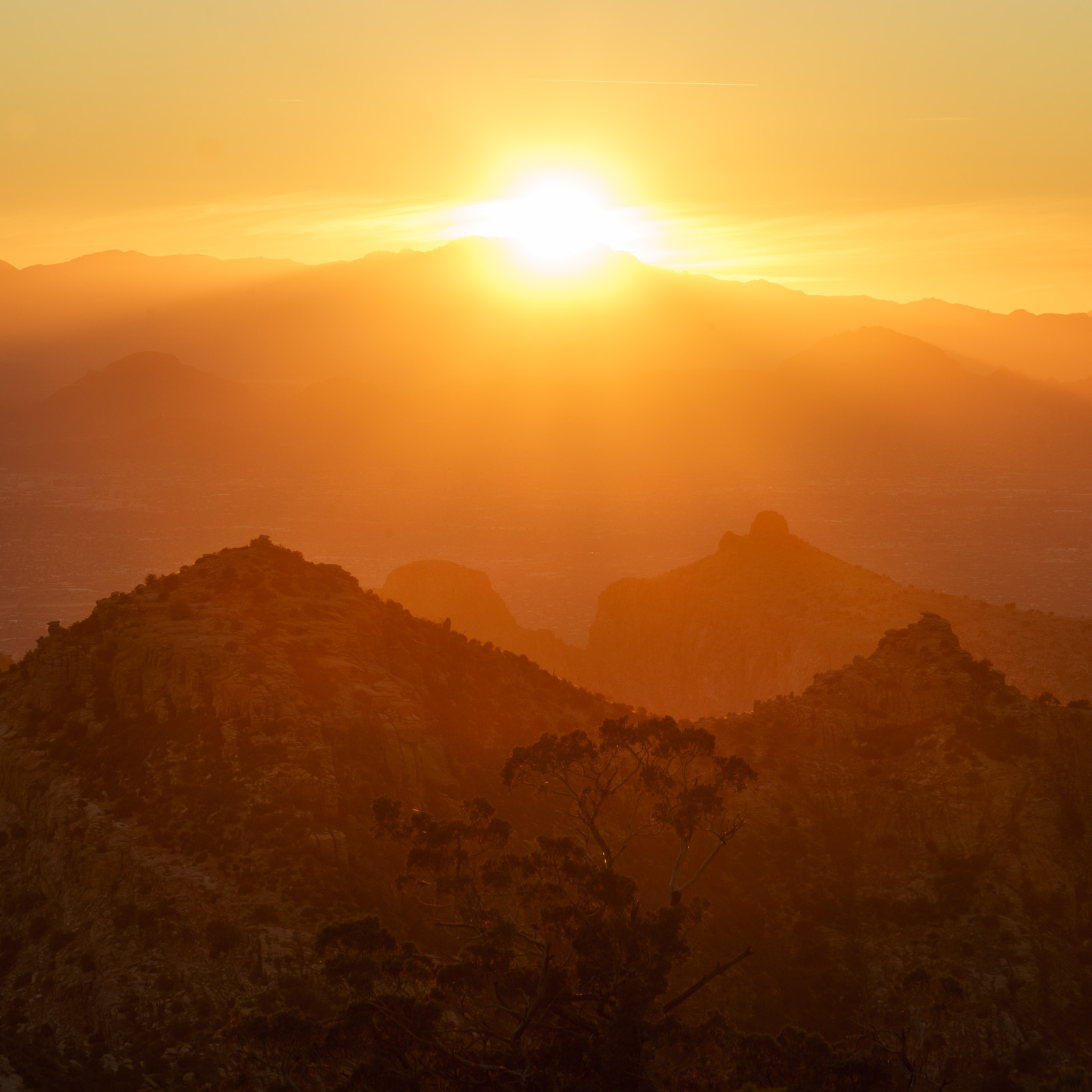
I often avoid Windy Point – sometimes because it is too crowded, and sometimes because the changes to the area over the last decade not my favorite – but I have to admit that when I have stopped here to photograph the sunset it has been absolutely spectacular!


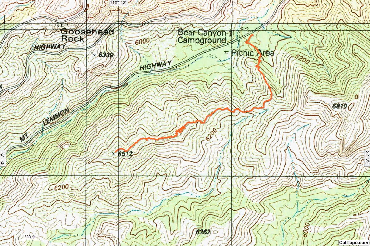
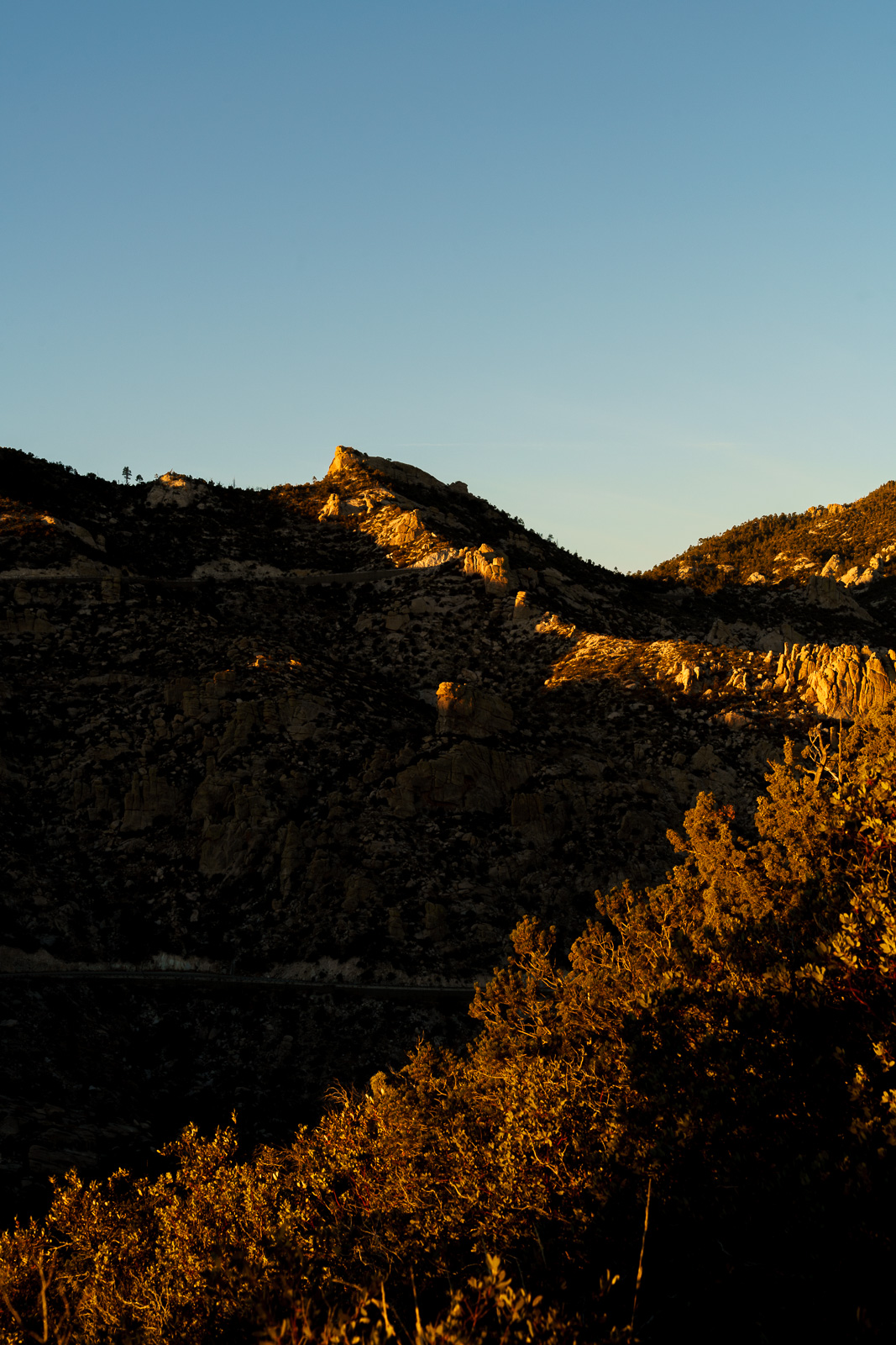
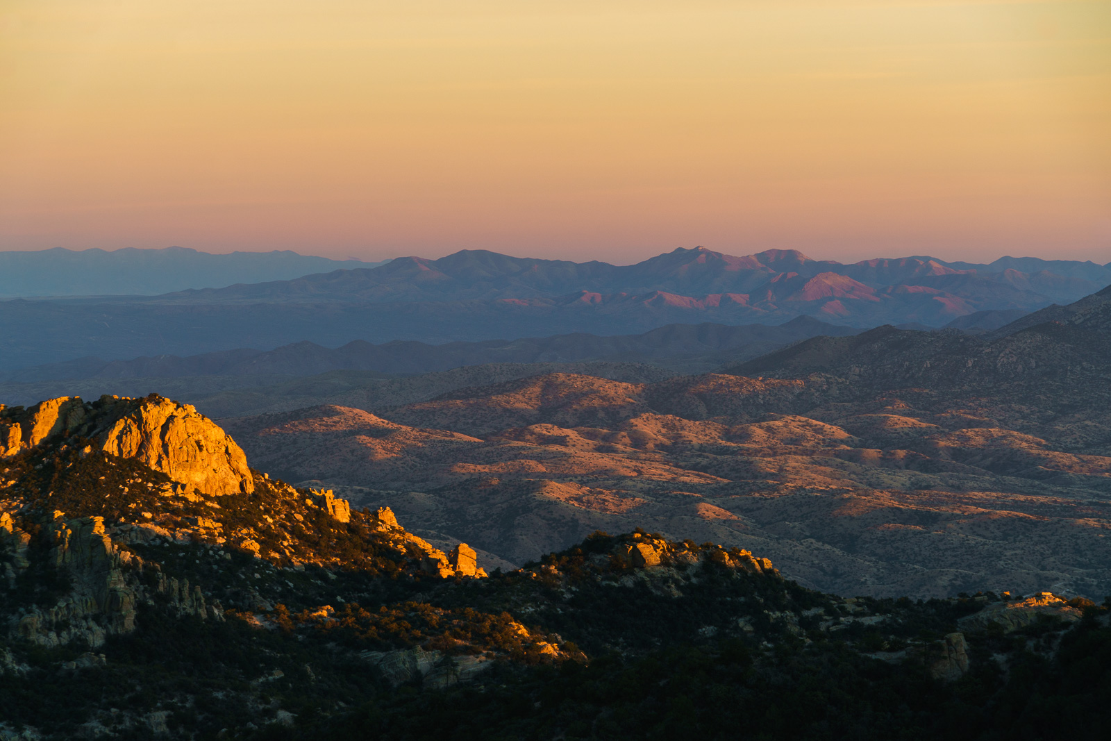
The Bug Spring Trail from the Lower Green Mountain Trailhead provides an easy way to access ridge south of Bear Canyon – there are hints of a path on, or near, the top of the ridge, but only hints – if you follow the ridge for any distance you are bound to be pushing thru the brush and working around obstacles – you can continue past Point 6512, but it may be worth sitting, enjoying the ridge and waiting for the sunset…