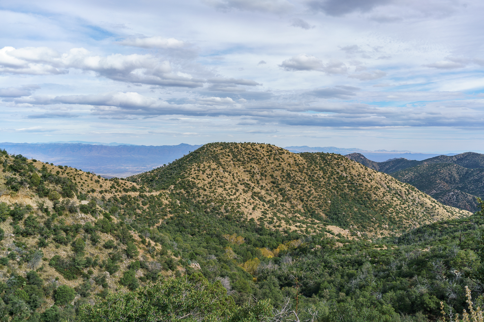
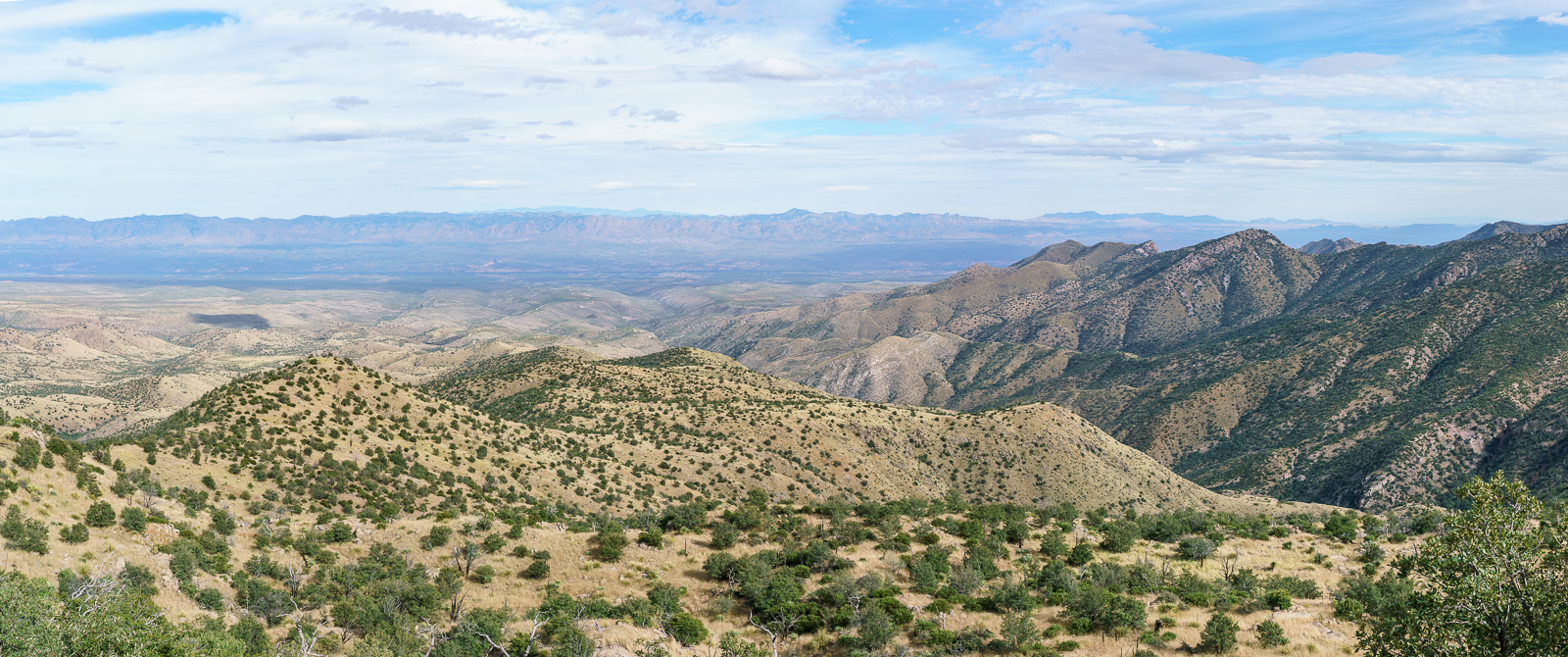
Campo Bonito, High Jinks – 9/19/2016

September 2016.
A rusted tank in Campo Bonito. September 2016.

Campo Bonito

Background – Islands in the Desert (p. 131):

Any history of mining has several inherent problems. For one thing the usual practice of relying upon relying upon contemporary or primary sources turns topsy-turvy. Such sources are often suspect, since mine owners and other interested parties deliberately sought to enhance the value of their properties, promoting them to raise capital for their development or to attract a purchaser.

Origin of the name – Look to the Mountains, An in-depth look into the lives and times of the people who shaped the history of the Catalina Mountains (p.28):

[Doctor Scudder] had dreams of a chicken ranch. By looking in a Spanish dictionary, he came up with a name for the beautiful area. “Listen! Campo Bonito. Did you ever hear anything equal to that?”

Origin of the fame – Look to the Mountains, An in-depth look into the lives and times of the people who shaped the history of the Catalina Mountains (p.28):

Later Captain Burgess sold mining claims to the well known scout, William F. Cody, better known as Buffalo Bill. Cody’s fame was well earned, but not for his sound investiments. Perhaps Burgess knew this and took advantage of his old friend.

Camp Bonito never produced the fortune that Cody hoped for – not a unique, or even uncommon, story –  this concise summary from Islands in the Desert (p.132) seems relevant:

another fact of frontier life, which was that profits were most commonly sought through buying and selling mining properties, rather than by developing them.

September 2016.
Freshly worked trail and a recently added sign on the Cody trail where a side trail splits off to the High Jinks Ranch. September 2016.

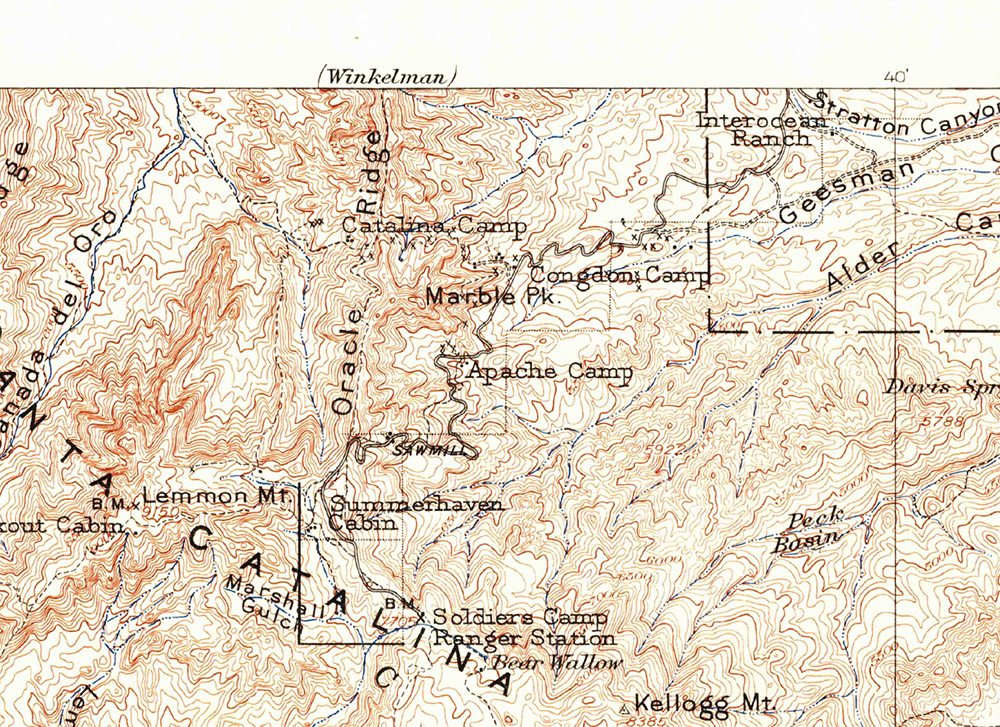
The High Jinks was another Cody mine that never produced the riches he had hoped for – the property, a National Historic Site, is located above Camp Bonito just off the Cody Trail, the route of the Arizona Trail – see the High Jinks Ranch for more information.

September 2016.
Looking back on the High Jinks area from the Cody Trail. September 2016.

Almost Super Moon from Kellogg Mountain – 11/13/2016

We hike up the Bigelow Trail to the junction with the Butterfly Trail and then wander up to the top of Kellogg Mountain. Tall trees on the eastern slope, missed by the fires that scorched much of the mountain over a decade ago, block our view – from a rocky perch farther down the ridge we can clearly see Bassett Peak and the spot where the moon will rise – just a few minutes of waiting in the cold wind and then…

Almost supermoon - moonrise. November 2016.
Almost supermoon – moonrise. November 2016.
Moon over the Galiuro Mountains. November 2016.

On the 13th the moonrise was about 10 minutes before the sunset and we thought with some luck we might get the almost-supermoon rising against beautiful sunset color – it didn’t quite work out exactly as planned, the light on the eastern mountains faded faster than expected – but still beautiful, and the clouds around the setting sun were spectacular!

Sunset from Kellogg Mountain. November 2016.

Lombar Hill – 10/31/2016

Lombar Hill from the Control Road. October 2016.

Below Marble Peak, at a sharp turn, the Control Road crosses a cattle guard and a fence runs up the ridge towards the top of Lombar Hill. A road on the north side of the fence seems like it might take you to the top, but instead it ends at a fire ring and a trail that quickly disappears into thick vegetation. On the south side of the fence a small, occasionally overgrown, path parallels the fence – it only takes a few minutes on this path to get to the top – a nice break from the long drive up the mountain!

Looking down the mountain into the San Pedro River Valley from Lombar Hill - Alder Canyon and the ridge between Alder and Edgar Canyons are on the right - if you zoom in you can see Black Hills Mine Road and the road to Ventana Windmill descending into Alder Canyon. October 2016.
Looking down the mountain into the San Pedro River Valley from Lombar Hill – Alder Canyon and the ridge between Alder and Edgar Canyons are on the right – if you zoom in you can see Black Hills Mine Road and the road to Ventana Windmill descending into Alder Canyon. October 2016.
Horned Lizard on Lombar Hill. October 2016.

I am not sure about the who/what/why of the name Lombar Hill (please contact me if you can fill me in on the history of this name!) – the name does not appear on the USGS 1904 Tucson Map, perhaps because it is a smaller feature, but does appear on a survey from the 1920s…

The 1904 Tucson Topo Map (available as a free download from the USGS) - Lombar Hill is in the center of the map but is not labeled. October 2016.
The 1904 Tucson Topo Map (available as a free download from the USGS) – Lombar Hill is near the center of the map but is not labeled. October 2016.
Lombar Hill shown on a Survey from the 1920s, unlike the 1904 Topo Lombar Hill is labeled. The survey document is available from the General Land Office Records (Township 11S Range 16E). October 2016.
Lombar Hill shown on a Survey from the 1920s, unlike the 1904 Topo Lombar Hill is labeled. The survey document is available from the General Land Office (Township 11S Range 16E). October 2016.

Stone Structure above Sabino Canyon – 9/10/2016

Painting the stone water tank above Sabino Canyon with light. September 2016.
Painting the stone structure above Sabino Canyon with light. September 2016.

On a ridge above Sabino Canyon there is a small stone structure – the structure isn’t noted on the topo maps I have and you won’t find any informational signs as you circle the structure, but a 2012 article by Doug Kreutz for the Arizona Daily Star explains that “The structure is a water tower – or above-ground storage facility – probably associated with a well to the south and east” and likely built in the 1930s or 1940s.

The Well west of the gaging station on the top of the ridge marks the location of the Stone Structure. October 2016.
A section of the Sabino Canyon FSTopo with Stone Structure added. October 2016.
Star trails and the lights from Mount Bigelow - looking up Sabino Canyon from the Stone Water Tank. September 2016.
Star trails and the lights from Mount Bigelow – looking up Sabino Canyon from the Stone Structure. September 2016.

Catalina Ravine and Tank – 10/13/2016

A fence between Biosphere Road and Catalina Tank. October 2016.

I was curious – what, exactly, was the ‘Catalina Ravine’ labeled on the map west of the Biosphere Road? The elevation contours don’t seem to indicate much – and I don’t remember seeing anything from 77 – but it is a named feature…

I had barely turned onto the 4wd road leading to Catalina Tank before deciding that hiking would be faster than driving – a good decision since the road quickly ended at an old gate. The hard sand of a small wash made for easy walking – but, with Catalina Tank in view, a fence blocked the way. I wondered if the fence enclosed the tank?

Catalina Ravine and Tank west of the Biosphere Road north of Tucson. October 2016.
Catalina Ravine and Catalina Tank west of the Biosphere Road north of Tucson. October 2016.

Heading south it didn’t take too long to figure out that the fence was doing more than enclosing the tank – with no gate in sight and the fence stretching away towards the mountains I finally crawled under at a wide wash and began to swing around towards the ravine.

Catalina Ravine west of Biosphere Road. October 2016.

From Wikipedia: “A ravine is a landform narrower than a canyon and is often the product of streamcutting erosion. Ravines are typically classified as larger in scale than gullies, although smaller than valleys.”

Walking Catalina Ravine didn’t really shed any light on why the name was added to the map, it was lovely in places – but, to me, it was largely indistinguishable from countless other small drainages in the area. Soon enough the tank appeared – a picture, admire the view, (still no gate in sight) under the fence, back along the small wash and back to the truck…

Catalina Tank. October 2016.
Catalina Tank with Mount Lemmon in the background. October 2016.