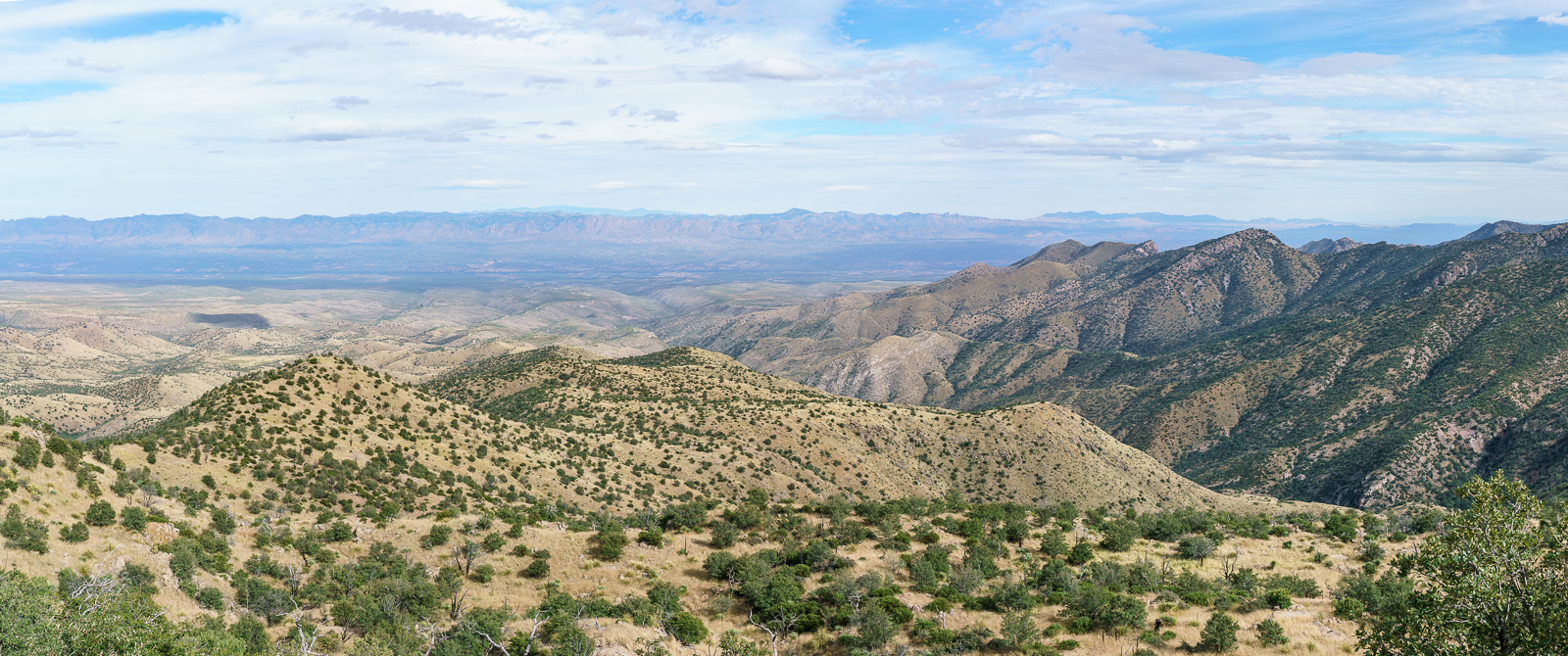
Below Marble Peak, at a sharp turn, the Control Road crosses a cattle guard and a fence runs up the ridge towards the top of Lombar Hill. A road on the north side of the fence seems like it might take you to the top, but instead it ends at a fire ring and a trail that quickly disappears into thick vegetation. On the south side of the fence a small, occasionally overgrown, path parallels the fence – it only takes a few minutes on this path to get to the top – a nice break from the long drive up the mountain!
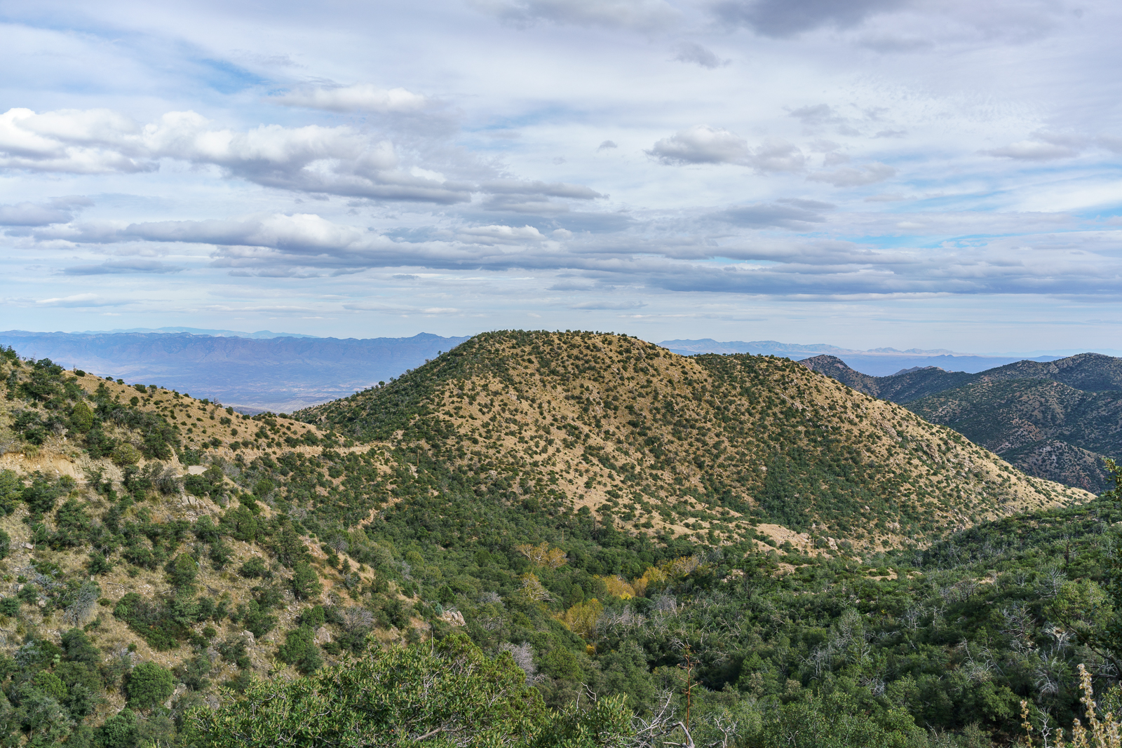
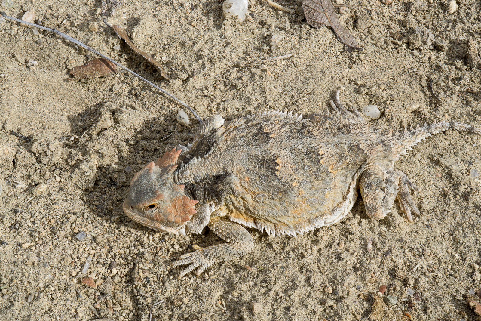
Looking down the mountain into the San Pedro River Valley from Lombar Hill – Alder Canyon and the ridge between Alder and Edgar Canyons are on the right – if you zoom in you can see Black Hills Mine Road and the road to Ventana Windmill descending into Alder Canyon. October 2016.Horned Lizard on Lombar Hill. October 2016.
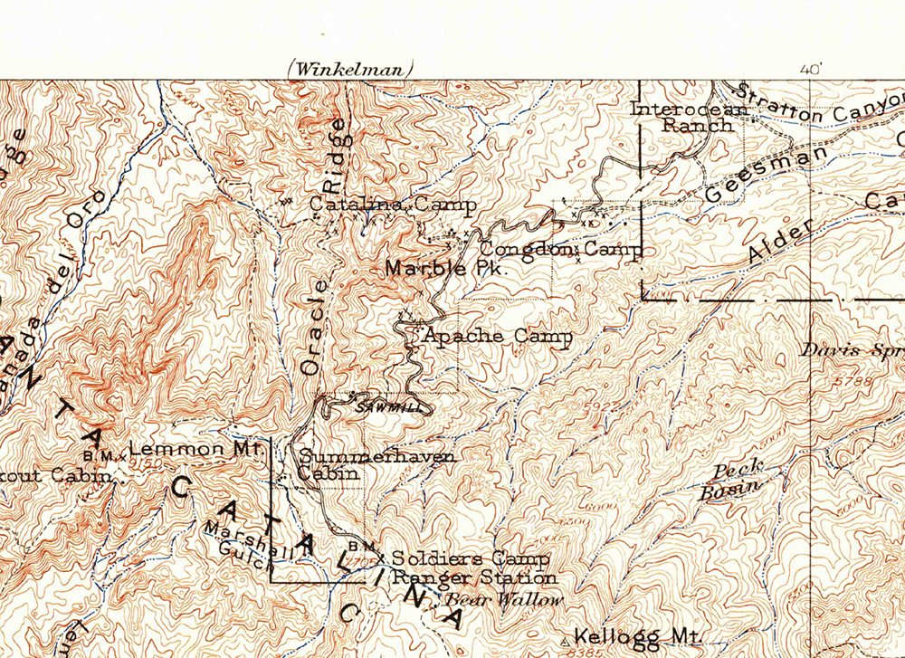
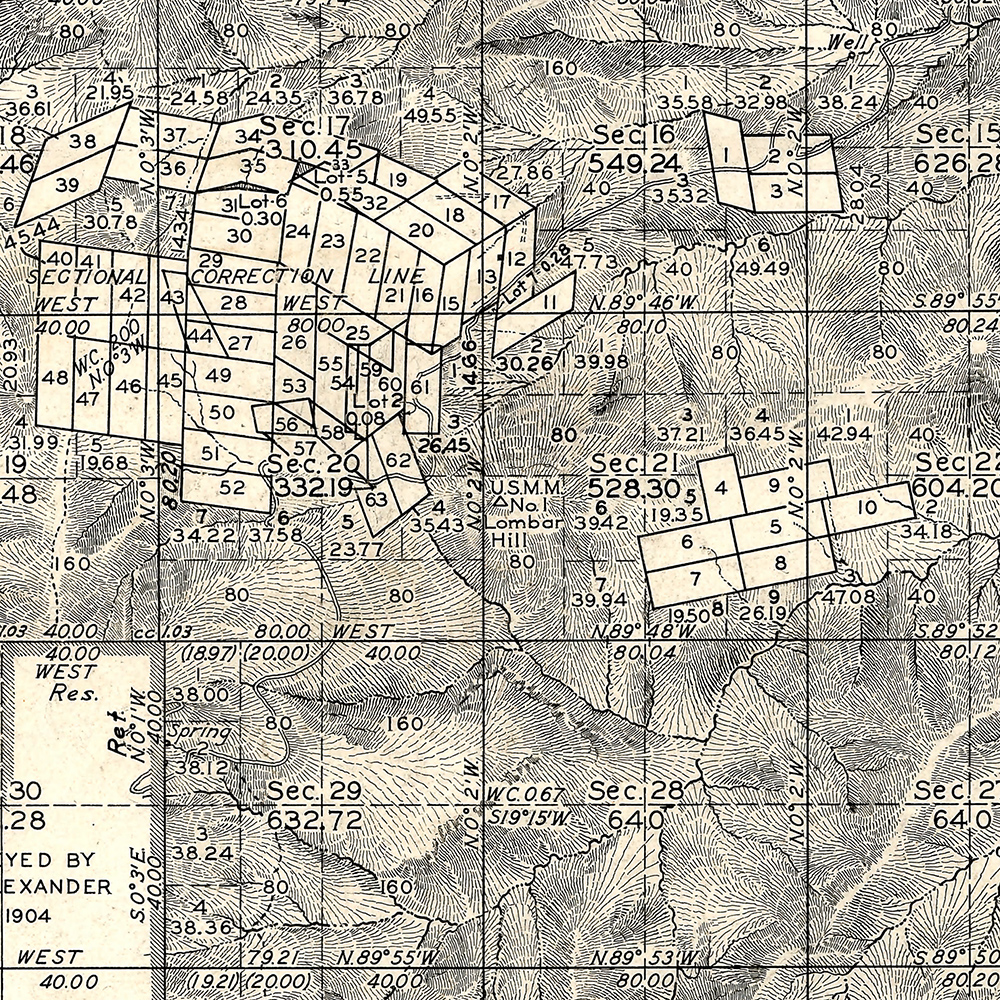
I am not sure about the who/what/why of the name Lombar Hill (please contact me if you can fill me in on the history of this name!) – the name does not appear on the USGS 1904 Tucson Map, perhaps because it is a smaller feature, but does appear on a survey from the 1920s…
The 1904 Tucson Topo Map (available as a free download from the USGS) – Lombar Hill is near the center of the map but is not labeled. October 2016.Lombar Hill shown on a Survey from the 1920s, unlike the 1904 Topo Lombar Hill is labeled. The survey document is available from the General Land Office (Township 11S Range 16E). October 2016.
The document covers the history of the Oro Valley area from the Paleoindian Period (10,000+ years ago) into the 20th century – some of the included information: Hohokam ruins such as Honey Bee Village and Sleeping Snake Village, early land claims in the area, notable 20th century architecture including the Countess of Suffolk’s Forest Lodge and information about later development in the area. While most of the information is fairly brief the broad overview was very interesting to read.
One of the details that I enjoyed was seeing the General Land Office maps of the Oro Valley Area. The General Land Office was created in 1812 and oversaw the survey, platting and sale of public land – including land in present day Oro Valley. The Oro Valley records are from the beginning of the 20th century when the area began to see a steady stream of homesteaders entering the area – Rock Art, Ranch, and Residence asserts that:
The relatively late beginning for the settlement along the Canada del Oro can be attributed in large part to a continuing perception of the area as dangerous: it was still considered a place too far from Tuscon and too close to the usual range of the Apaches. (p. 60)
The Bureau of Land Management makes many General Land Office Records, dating back to 1810, available online. The map below, from 1902, shows Pusch and Zellweger’s Steam Pump Ranch (which you can still visit today) – labeled Pusch Ranch – and another ranch – ‘Mexican Ranch’ – that was probably owned by the Marin family and later patented by Francisco Marin. The roads on the map are a reasonable match for modern roads – the early version of Oracle Road is especially easy to recognize!
Township 12 South, Range 14 East, 1902 – General Land Office.