Marble Peak from the Davis Mesa Road. December 2018.
Already in Oracle on an errand I made the long drive out to the Davis Spring Trailhead stopping along the way to admire the snow covered peaks in the distance. The road to Davis Mesa seemed to be in about the same condition as previous trips – although the last few miles were muddier than expected. (A 4wd vehicle is recommended for this drive!)
Snow on the Galiuros – Rhodes Peak – from the Davis Mesa Road. December 2018.
The long drive didn’t leave much time to hike – past the surprisingly still standing trail sign, flowing water at Davis Spring, a full tank at the corral and down into Edgar Canyon – upstream along the water, downstream in the fallen Sycamore leaves – time to go…
Looking down Edgar Canyon towards Bassett Peak in the Galiuros. December 2018.Davis Spring – water in the tank in December. December 2018.Edgar Canyon. December 2018.
Below Marble Peak, at a sharp turn, the Control Road crosses a cattle guard and a fence runs up the ridge towards the top of Lombar Hill. A road on the north side of the fence seems like it might take you to the top, but instead it ends at a fire ring and a trail that quickly disappears into thick vegetation. On the south side of the fence a small, occasionally overgrown, path parallels the fence – it only takes a few minutes on this path to get to the top – a nice break from the long drive up the mountain!
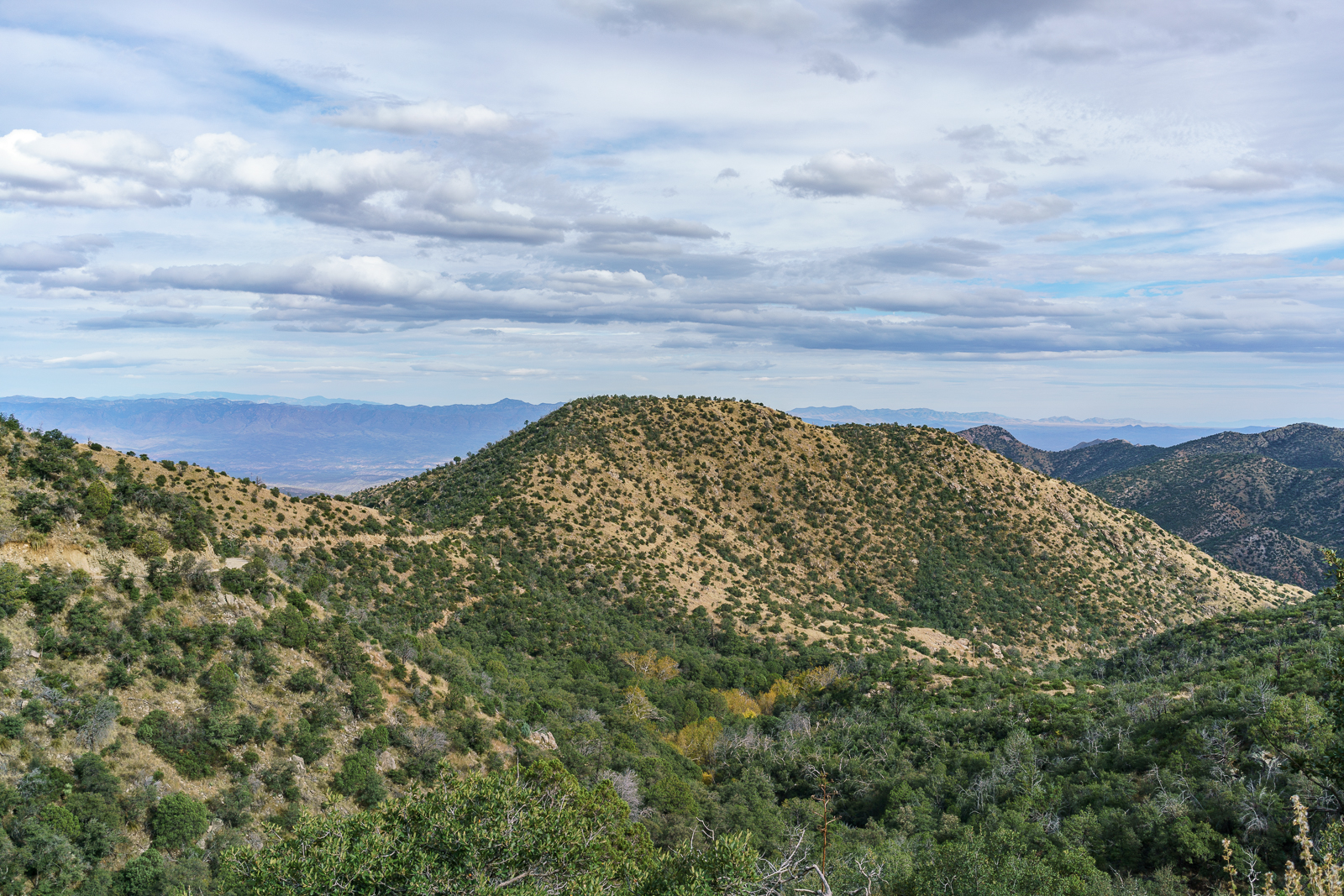
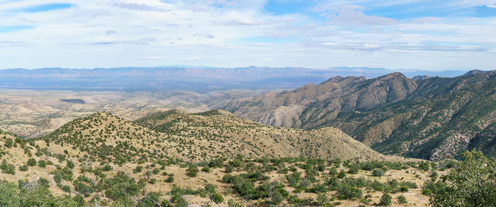
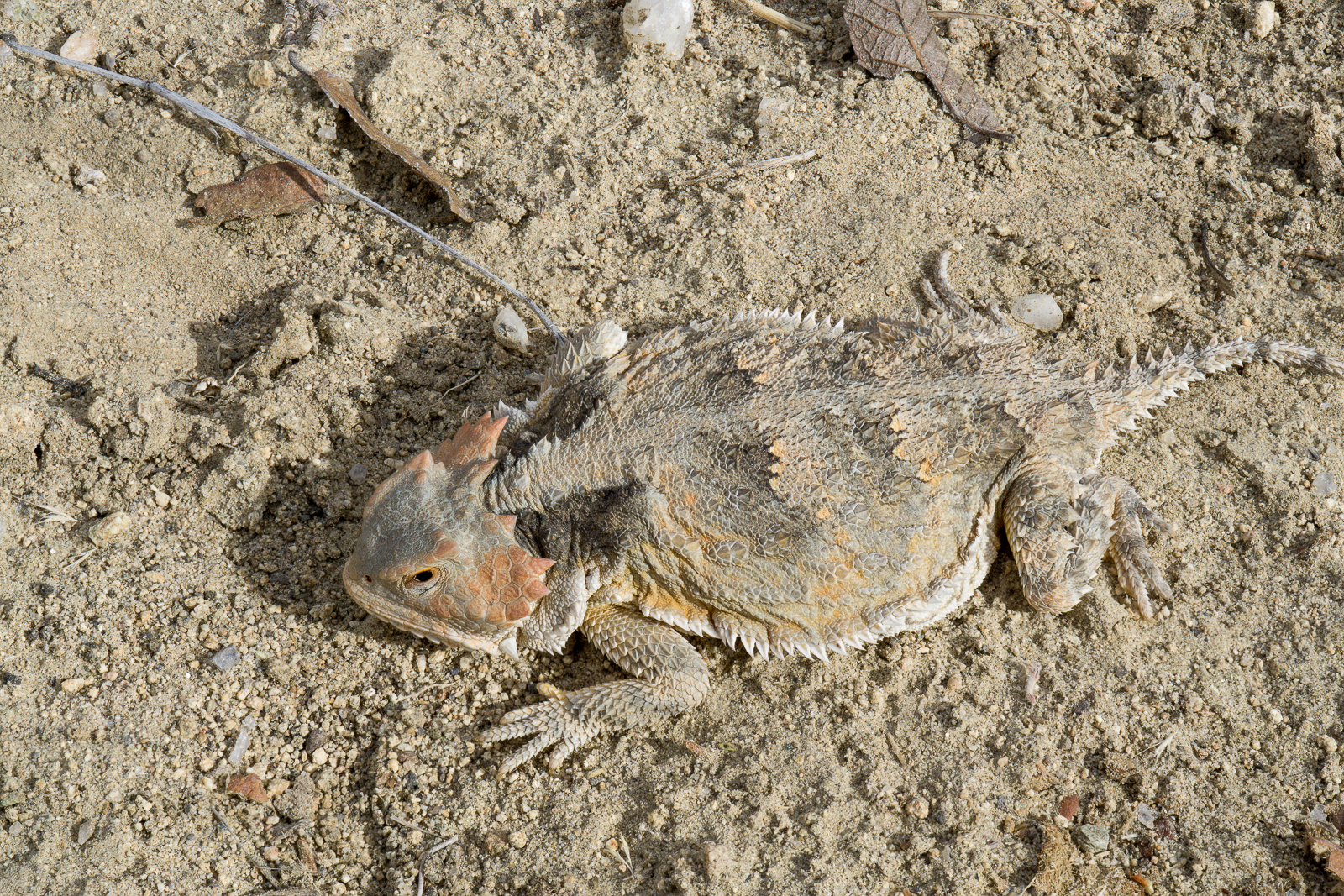
Looking down the mountain into the San Pedro River Valley from Lombar Hill – Alder Canyon and the ridge between Alder and Edgar Canyons are on the right – if you zoom in you can see Black Hills Mine Road and the road to Ventana Windmill descending into Alder Canyon. October 2016.Horned Lizard on Lombar Hill. October 2016.
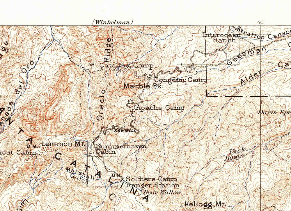
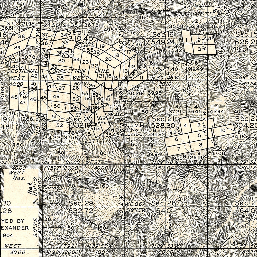
I am not sure about the who/what/why of the name Lombar Hill (please contact me if you can fill me in on the history of this name!) – the name does not appear on the USGS 1904 Tucson Map, perhaps because it is a smaller feature, but does appear on a survey from the 1920s…
The 1904 Tucson Topo Map (available as a free download from the USGS) – Lombar Hill is near the center of the map but is not labeled. October 2016.Lombar Hill shown on a Survey from the 1920s, unlike the 1904 Topo Lombar Hill is labeled. The survey document is available from the General Land Office (Township 11S Range 16E). October 2016.