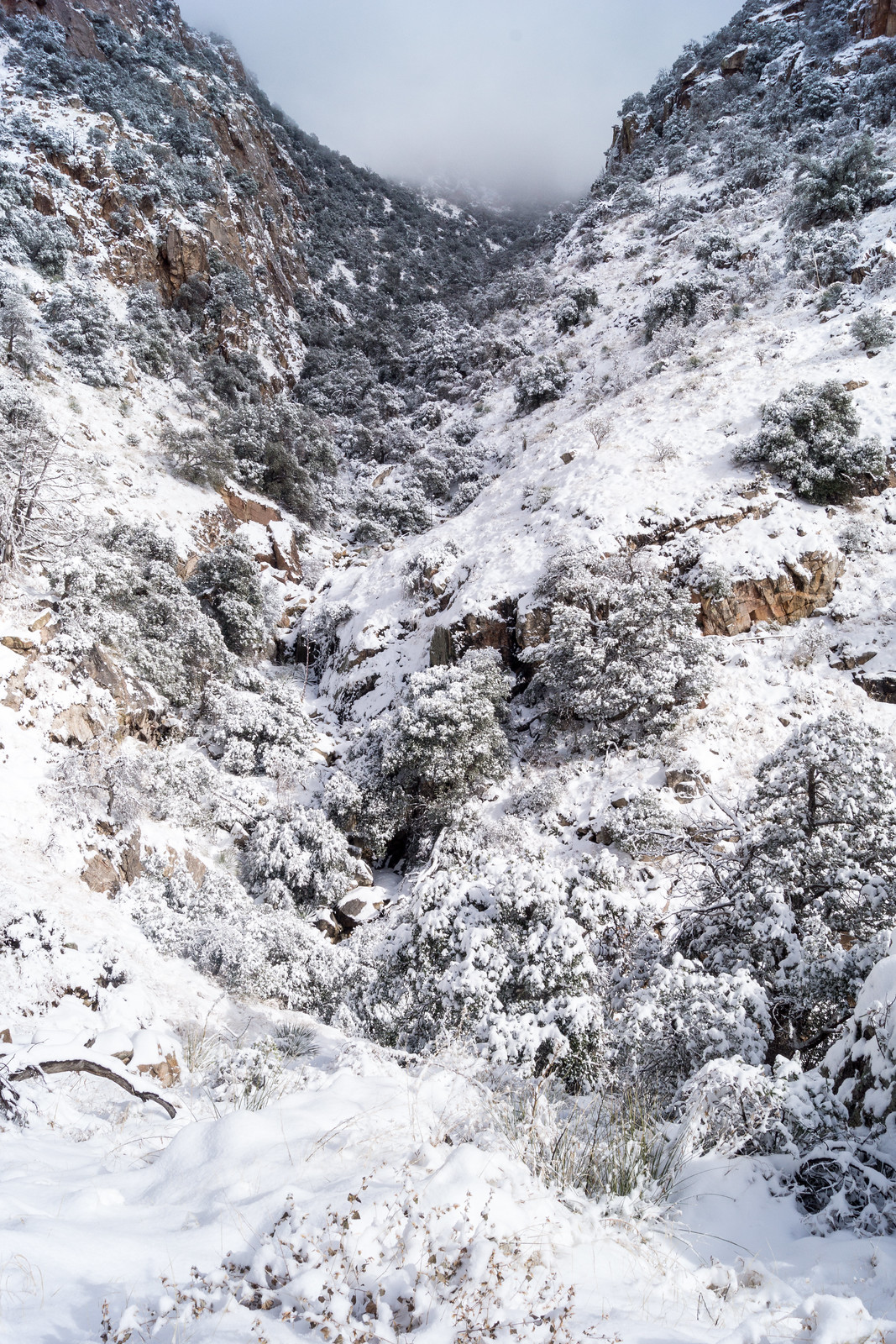
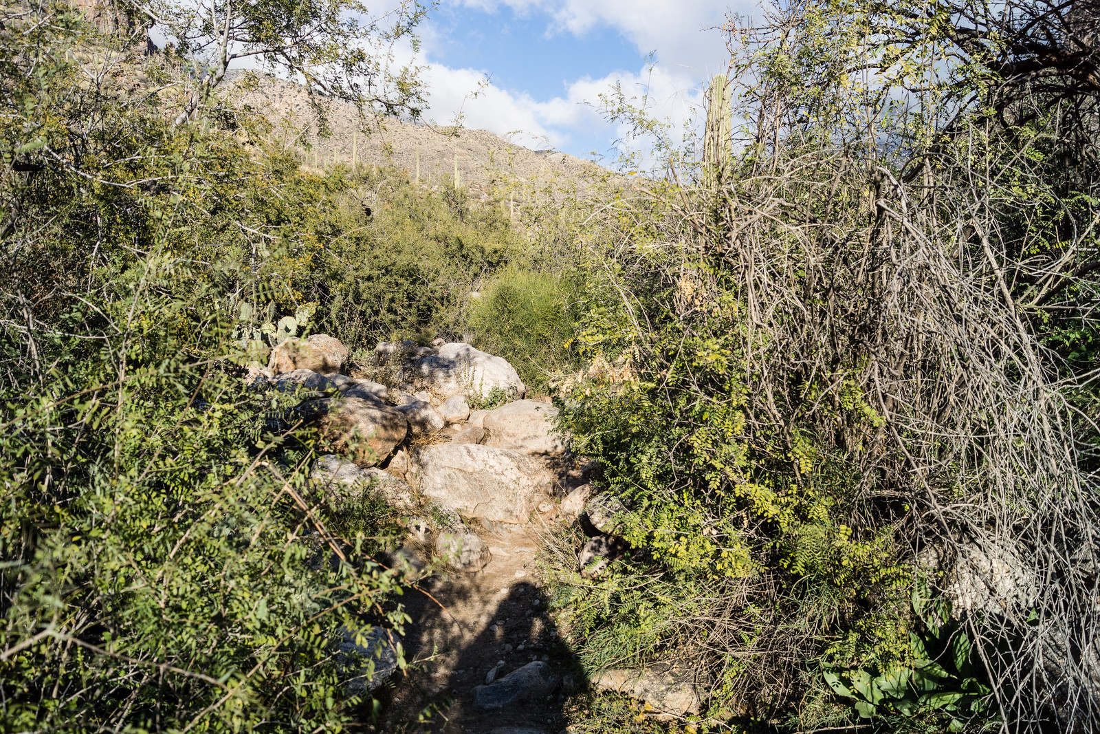
Bigelow Trailhead to the Gordon Hirabayashi Recreation Site – 1/17/2015

We started at the Bigelow Trailhead, walked past the gate that closes Organization Ridge Road to public motorized traffic in the winter and continued on to the Palisade Trailhead. The road was icy and there was just enough snow at the trailhead to give a pleasant hint of winter, but not enough to require anything other than a little caution.
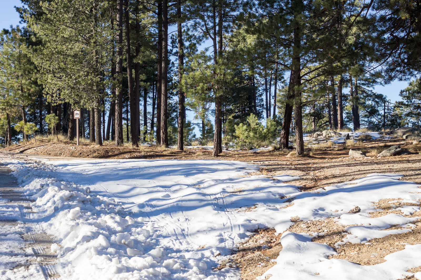
1501 Snow at the Palisade Trailhead
Palisade Trailhead with snow – Organization Ridge Road is closed seasonally to motorized vehicles so we parked at the Bigelow Trailhead and walked the road. January 2015.

We could hear Palisade Canyon flowing below – it looked like quite a bit of water from the trail – walked snowy sections of Palisade Trail where the shade preserved the remains of the last storm, paused for birds and enjoyed the polished stone in Pine Canyon before reaching Mud Spring.
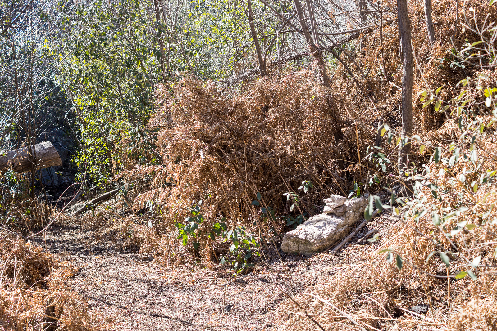
1501 Cairn and brown ferns near Mud Spring
A cairn marking the Mud Spring Tank is surrounded by dead ferns. January 2015.

The waterfall in Pine Canyon was roaring away – quite a sight – and we paused just before the trail begins to plunge downwards to enjoy the view – Thimble Peak to Brinkley Point!
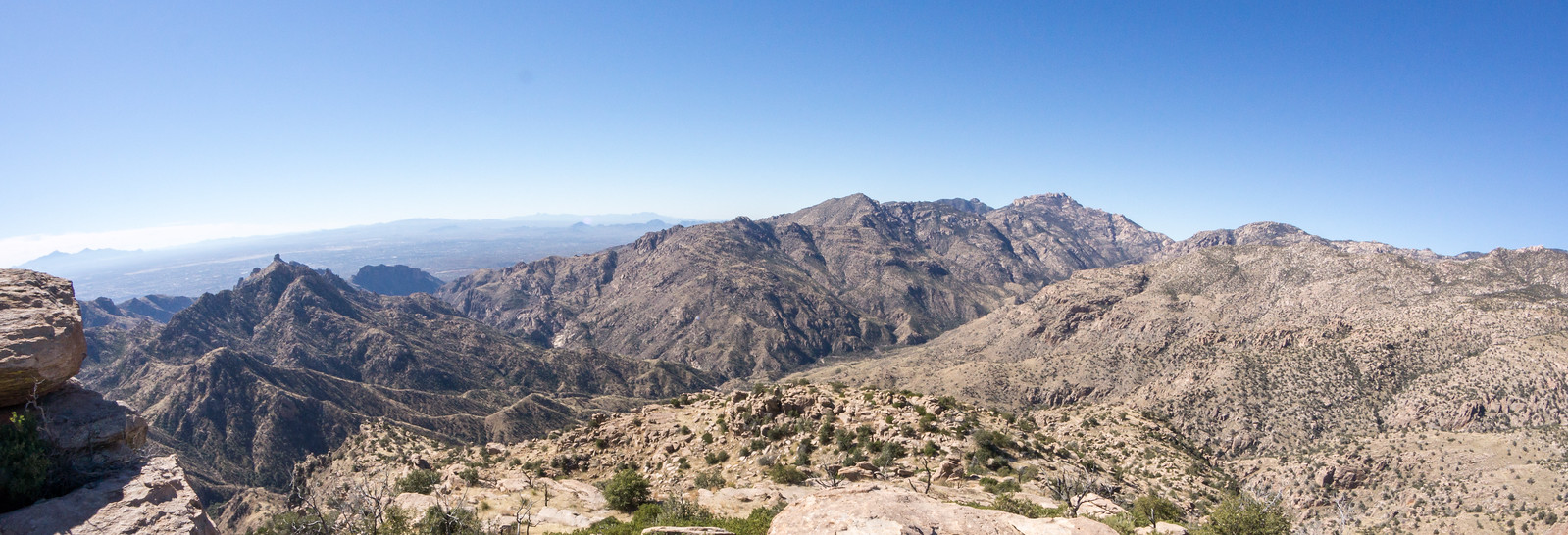
1501 A View from the Palisade Trail
A impressive view of the mountains – from near the Palisade Trail looking into Tucson – landmarks include Thimble Peak (near the left), Cathedral Rock and Brinkley Point (on the right). January 2015.

Down to the junction with the East Fork Trail and then up – past the Bear Canyon Trail and onto the Bear Canyon Trail, across Sycamore Canyon, past Sycamore Reservoir where Sycamore Canyon and Bear Canyon were pouring an impressive amount of water over the dam, up to Shreve Saddle and then down the Molino Basin Trail to the car we had left at the Gordon Hirabayashi Recreation Site earlier in the day.
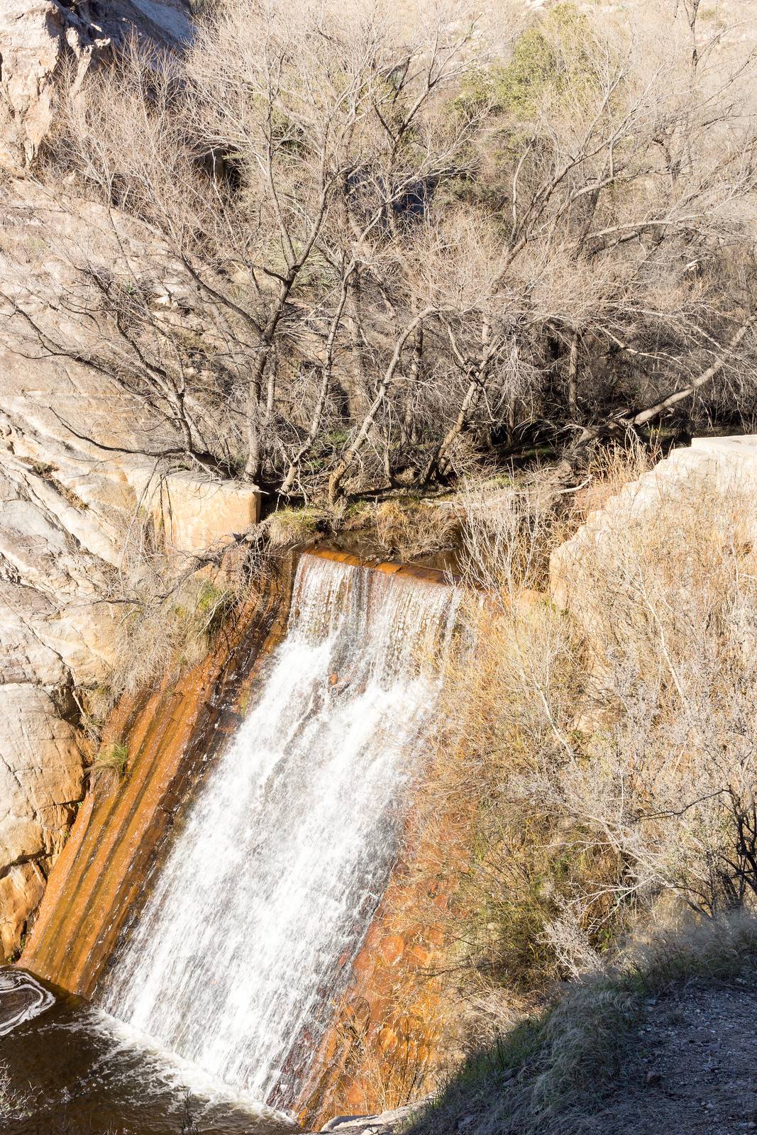
1501 Water rushing over the Sycamore Reservoir Dam
Water from Sycamore Canyon and Bear Canyon rush over the Sycamore Reservoir Dam. January 2015.

Descending the Palisade Trail is a great way to see everything from pine forest to cactus and take in quite a few impressive views. Currently miles 4-6 of the Palisade Trail are distinctly more overgrown and less used than the upper sections of the trail – with some attention and effort you should be able to find the trail, but be prepared to use your map and navigate if needed.

12.8 miles, +1,400’/-4,350′ of elevation gain/loss.

Buffelgrass, Lemmon, Lions, Events, Sledding

Beat Back Buffelgrass Day 2015 – Beat Back Buffelgrass Day is January 24th – there are a number of different locations around Tucson including Catalina State Park with The Coalition for Sonoran Desert Protection!

Street Smarts: Highway, mountain named for botanist – Arizona Daily Star – David Leighton: Information on where the name ‘Mount Lemmon’ comes from.

Tucson Lion Killings Dropped Dramatically in 2014 – Kierán Suckling – Center for Biological Diversity – This press release from the Center for Biological Diversity points out that Mountain Lion kills by Hunters and Ranchers declined in the Catalina and Rincon Mountains in 2013 and 2014 (according to AZGF records). The release notes that in 2014 no Lions were killed in the ‘Bighorn Sheep Protected Area’ that was put in place in 2013 and bans hunting with hounds in an area similar to the Bighorn Sheep Closure Area that restricts recreational use in the Pusch Ridge Wilderness (see the current Arizona Hunting Regulations for the details of the ‘Bighorn Sheep Protected Area’).

Oracle State State Park Events – See the Oracle State Park Homepage for more details.

  • Saturday, January 24: Winter Evening Stargazing Event: Music, a “Ancient Native American Astronomical Practices” presentation and stargazing with telescopes – this is a great follow-up to the International Dark Sky Park status that park gained last year!
  • Saturday, January 31: Guided ‘Manzanita to Mariposa’ Loop Hike
  • Saturday, January 31: Arizona Trail Virtual Tour: Sirena Dufault will present on the Arizona Trail!

The snow at the start of the year resulted in great sales for businesses in Summerhaven – the General Store sold ‘around a thousand sleds!’. Restricted access to Mount Lemmon did not slow weekend business – Tucson News Now – Craig Reck, Mt. Lemmon businesses booming – KVOA.com – Domenica Fuller: 

Mt. Lemmon sledding accidents send eight to the hospital over the weekend – KVOA.com – Lauren Reimer: “The most common injuries the sledders received were head injuries and broken bones.” The article mentions two interesting details – the injuries happened to both children and adults, and that from New Year’s Eve to January 6th ‘about ten thousand people have visited Summerhaven’.

Wood pile burning to continue on Mt. Lemmon – KGUN9 – Ina Ronquillo

Whitetail Tank – 1/3/2015

After visiting the La Milagrosa Trail several times over the past few months and consulting maps of the area I began to wonder why I had never noticed passing the junction with Forest Road 4446 where it turns towards Whitetail Tank, it seems so clear on the map…

The La Milagrosa Trail in red - Horsehead Road (where the hike starts) on the left - Forest Road 4446 to Whitetail Tank (marked 4WD) breaks from the La Milagrosa Trail near La Milagrosa CanyonThe La Milagrosa Trail in red - Horsehead Road (where the hike starts) on the left - Forest Road 4446 to Whitetail Tank (marked 4WD) breaks from the La Milagrosa Trail near La Milagrosa Canyon

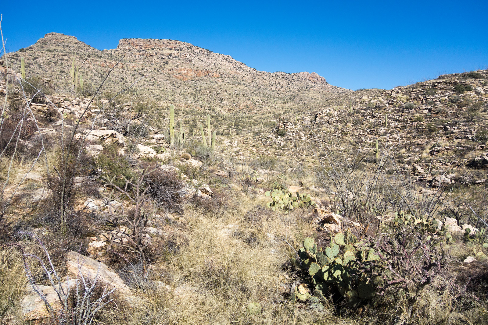
Standing on the Milagrosa Trail looking at (what may be) a faint old grass covered 4wd road I tell myself that on the other side of the canyon FR4446 will be obvious – that it is simply well disguised near the La Milagrosa Trail so that hikers and bikers won’t accidentally turn onto it. Unfortunately on the other side of the canyon I actually find even fewer hints of the old road… I watch the GPS and try to follow the line on the map – sometimes directly and sometimes criss-crossing it’s path – occasionally finding it, but mostly just looking for it – thankfully the terrain is open enough that it doesn’t really matter that the desert seems to have completely reclaimed stretches of the road.

1501 FR4446
The now obscure track of Forest Road 4446 is in the center of the picture – this was one of the few places where I felt 99.9% sure that I was actually on the road! January 2015.
1501 Whitetail Tank
Looking back to Whitetail Tank from the hillside of the drainage to the northeast. January 2015.

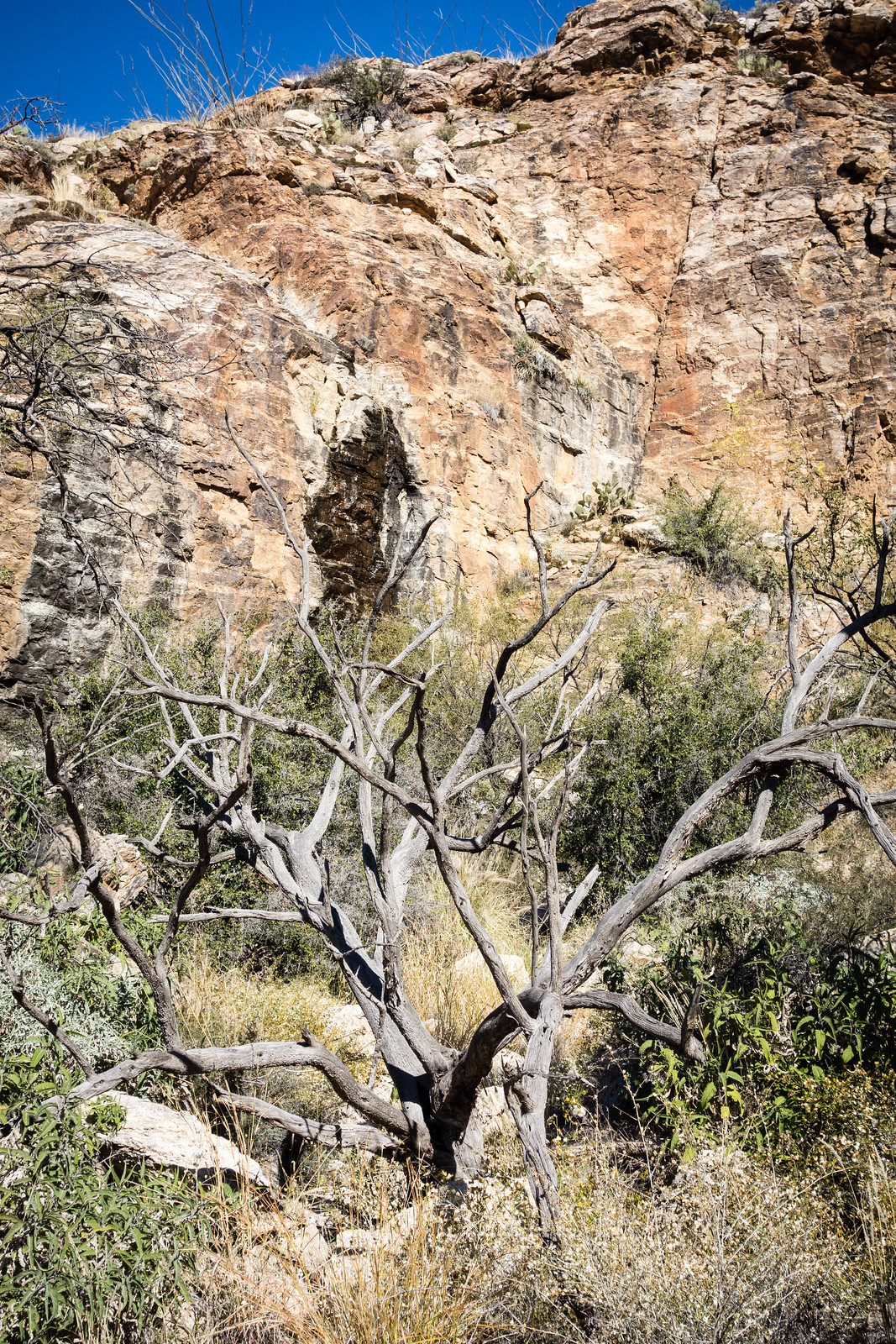
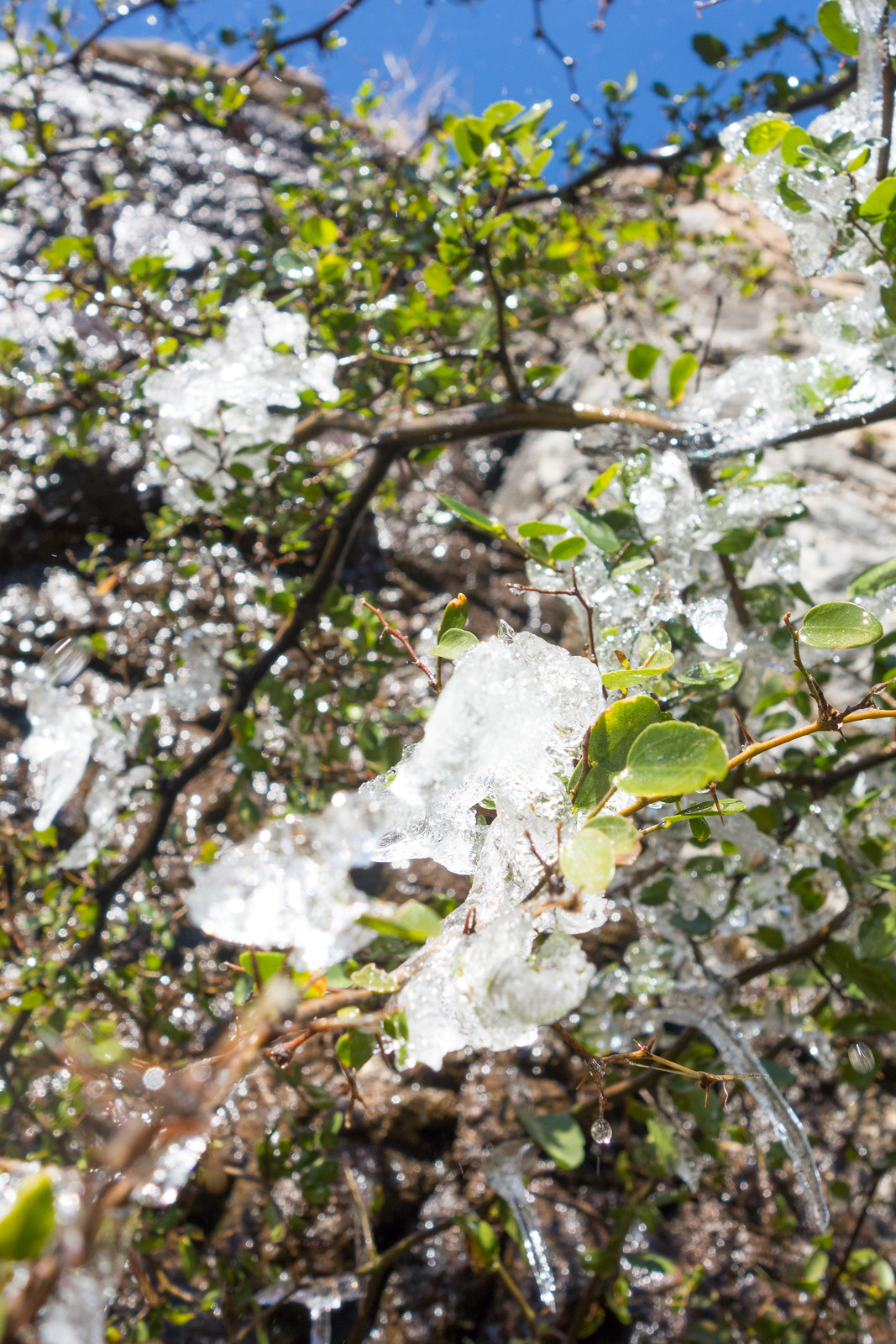
The tank is larger than I expected, dry and covered with short brown grass. Standing in the tank a small cliff catches my eye – a few minutes of walking in the small drainage above the tank and I reach a lovely drip, black and wet, with clumps of ice on the tree below.

1501 Wall upcanyon from Whitetail Tank
A small cliff in the drainage above the tank – a small flow of water darkens some of the rock. January 2015.
1501 Ice below the drip near Whitetail Tank
I was surprised to find Ice on a tree at the base of the cliff! January 2015.

From the base of the cliff I worked up to the ridge above and then down into the canyon below, eventually looping back to the La Milagrosa Trail via a wandering off-trail route.

1501 Grass in La Milagrosa Canyon
Looking down La Milagrosa Canyon. January 2015.

Whitetail Tank from the Avenida de Suzenu Trailhead – one-way – is approximately 2.8 miles with 1,100′ of elevation gain – maps show FR4446 as a 4WD road but don’t expect to find much of the road and certainly don’t count on it for navigation, take a map and plan on using it – this is essentially an off-trail hike.

Winter Weather, Crowds, Rescues, Missing Hikers, Lambs

Winter Weather! The entire mountain was winter wonderland at one point and weather has certainly been in the news – Rain falling in Tucson; hard freezes to follow – Arizona Daily Star, Brrr-inging in the new year in Southern Arizona – Arizona Daily Star – (A few good snow photos from the mountain), A wet and white New Year’s coming to the desert – Jeff Beamish – KVOA.com.

Ski Valley opens all of it’s runs! Last year Ski Valley did not open any runs for the first time in 50 yearsMt. Lemmon Ski Valley open; traffic restricted – Doug Kreutz – Arizona Daily Star.

Winter weather has caused restrictions on the highway to come and go over the past week. The winter weather + holiday weekend has also combined to produce big enough crowds on the mountain that – at times – the Pima County Sheriff’s Department has stopped traffic at the base and only allowed a car up the mountain when one comes down. On Saturday at 4pm, while coming back from the Milagrosa area, I  drove past a line of cars waiting to go up the mountain that stretched back nearly to Houghton! Mt. Lemmon Highway now open after Wednesday road restriction – Tucson News Now, Sheriff briefly limits access to Catalina Highway, weekend crowds expected – John Ames – Tucson News Now, Mt. Lemmon Highway closed due to overcrowding – Arizona Daily Star.

Sledding proves to be dangerous on Mt. Lemmon – Christina Myers – KGUN9: Stay safe while sledding! The article says that “two kids had to be taken to the hospital on Thursday after hitting objects that were sticking out of the snow”.

Hikers planning on hiking from Sabino Canyon to the top of the mountain call for help and are rescued. Three hikers rescued from Mt. Lemmon – Rikki Mitchell – KGUN9, 3 Mount Lemmon hikers rescued by helicopter –   Carmen Duarte – Arizona Daily Star, Rescuers searching for two women lost on Mount Lemmon – Scott Oathout – KVOA.

A group on the Butterfly Trail is reported missing. Sheriff’s deputies search for group of six missing hikers – Alyssa Reilly – KVOA.

First Day Hike is great way to start 2015 – Cathalena E. Burch – Arizona Daily Star: There were a number of parks with guided First Day Hikes this year – a great way to start the year!

The Bighorn Sheep Restoration Project Status update for 12/18 to 12/31 is now available (all updates are currently available here). Three new lambs have been observed in the Santa Catalina Mountains and there is video of one of them! This update has information on recent deaths including a report on the death of Ewe #643. When the death of Ewe #643 was first investigated there was not an obvious cause – later analysis indicates that an infection, probably originally caused by an external trauma, was the cause.

Pima Canyon Trail in the Snow, 1/1/2015

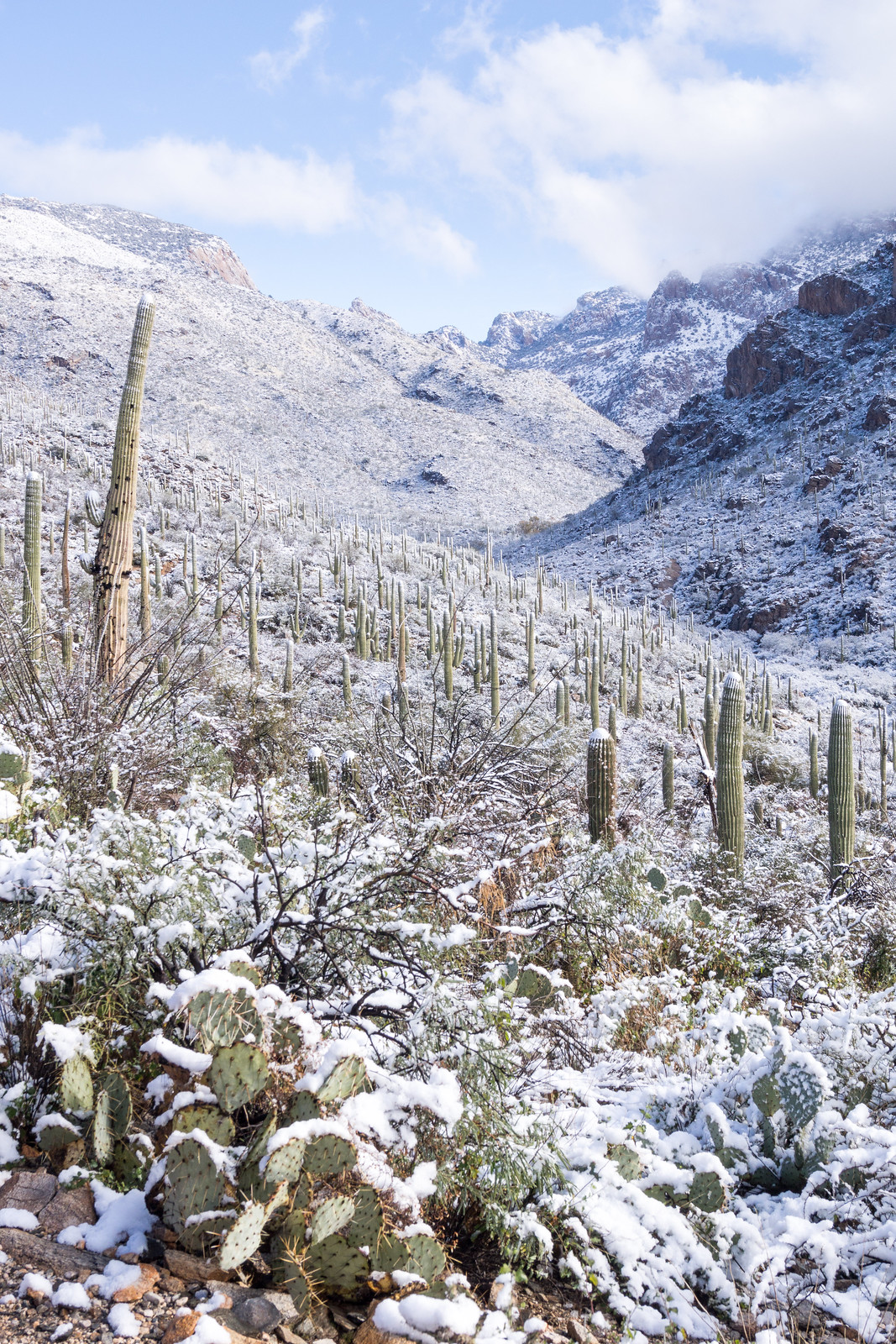
Winter weather forecasts have disappointed many times – but the New Year’s Day conditions lived up to the hype – snow covering all of the Santa Catalina Mountains and blanketing the desert – what a fantastic start to 2015!

At 10AM there was snow covering everything around the Iris Dewhirst Pima Canyon Trailhead – all wintery and white! There were quite a few cars in the parking lot and the first section of the trail was filled with people enjoying the snow – the views looking up the canyon were amazing!

1501 Looking up Pima Canyon
Looking up Pima Canyon – Winter Wonderland! January 2015.

After the first canyon crossing snow covered plants hung over the trail – not hard to push thru, but cold!

1501 Snow covering all the plants along the Pima Canyon Trail
Snow covered plants push into the Pima Canyon Trail. January 2015.

The footsteps in the snow disappeared before the dam…

1501 Rock and Snow in Pima Canyon
At the first dam looking up canyon with clouds swirling above. January 2015.

After the dam the snow becomes subtly ever deeper and the trail becomes a little harder to find – even in good weather this section has fewer visitors – I pause occasionally to puzzle out a path.

1501 Snow around the Second Dam on the Pima Canyon Trail
Deeper snow blanketing the area around the 2nd Dam in Pima Canyon. January 2014.

The shoe prints ended over a mile ago – now there are deer tracks in the snow, it doesn’t take long to realize the the tracks are following the trail, for a time I simply follow them – the deer clearly knows this section of trail better than I do.

1501 Higher in Pima Canyon
Looking up canyon from the Pima Canyon Trail – eventually in the tight canyon ahead I lost the trail and turned around for the day. January 2015.

A sound draws my attention across the canyon and I turn to watch ice falling from rock walls – the deer tracks plunge steeply off the trail towards the bottom of the canyon – at the time I didn’t think anything of it, but in retrospect maybe they know the conditions better than I do… Minutes later the trackless trail crosses the canyon and I loose it on the hillside above, it takes a few zig-zags up and down the hillside to find it again. A few more minutes of trail and I am left standing in the bottom of the snow covered canyon trying to remember if the trail crosses onto the hillside above or stays near the canyon bottom – time to turn around.

Lower on the trail the conditions have changed – the plants that were covered in snow earlier are now standing straight again – wet, but without a hint of snow.

1501 Later in the day on the Pima Canyon Trail with the snow melted
Lower on the trail the snow that had blanketed everything earlier in the day was gone – amazing to see it change so fast! January 2015.

Pima Canyon Trail. 10.9 miles, 3000′ of elevation gain and loss.