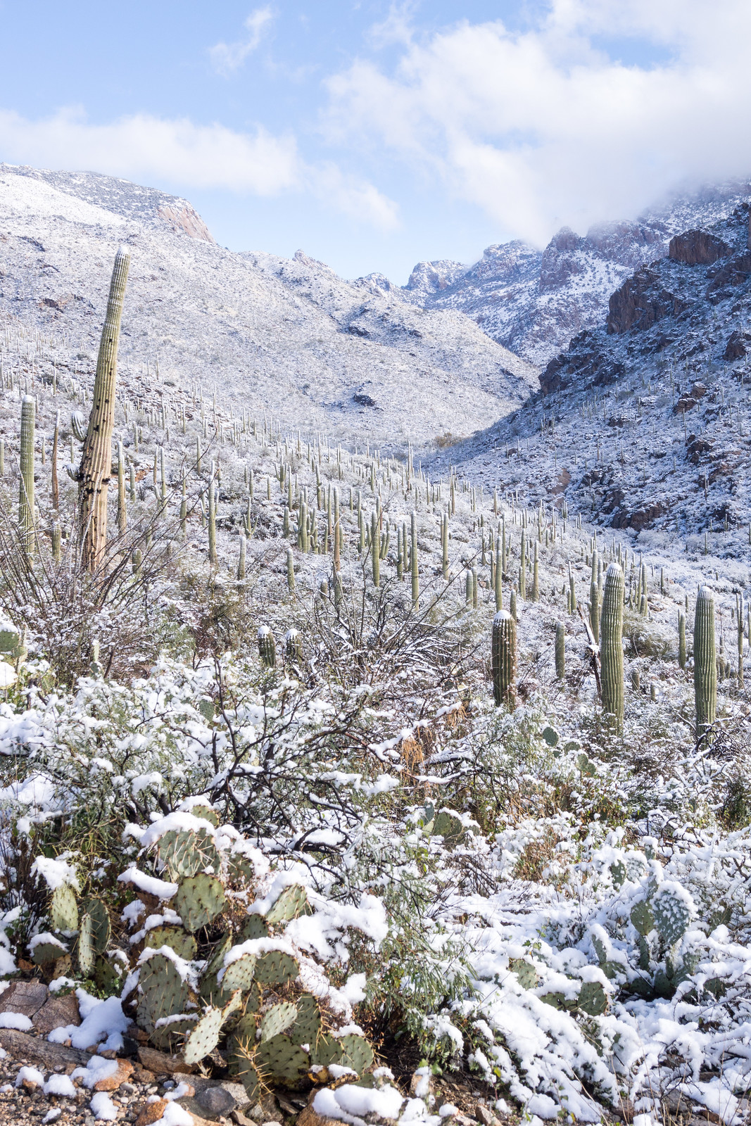
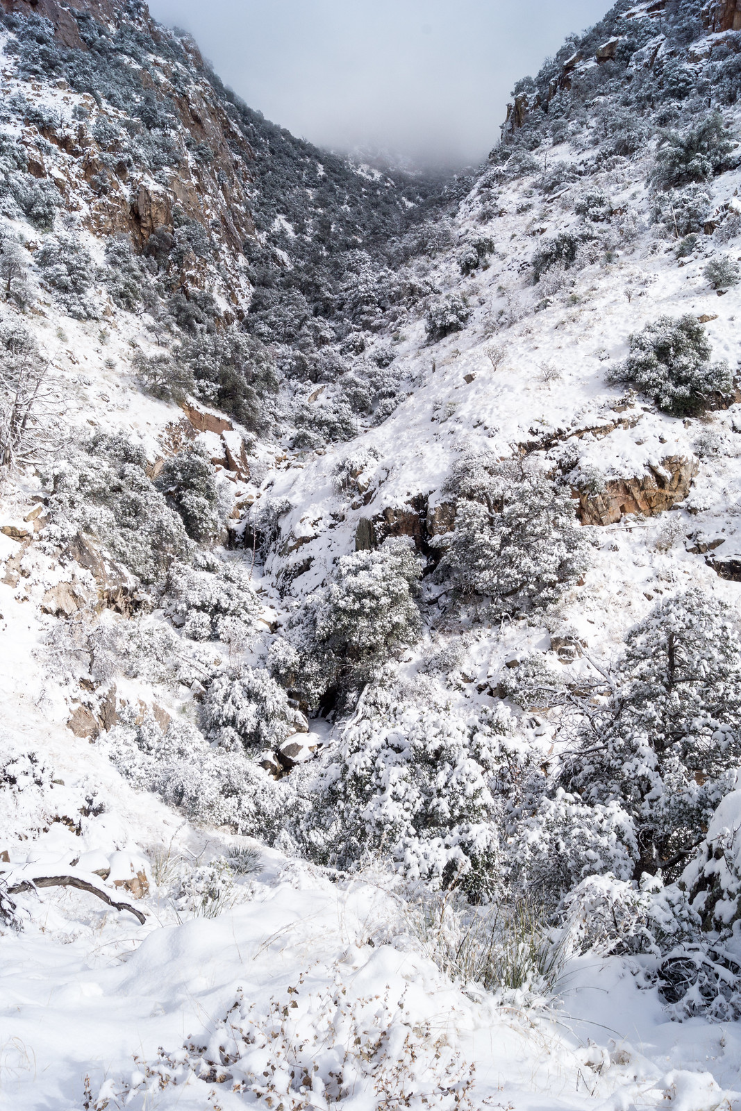
Fenced Corridor, Rosewood Point, Campbell Trailhead – 12/22/2018

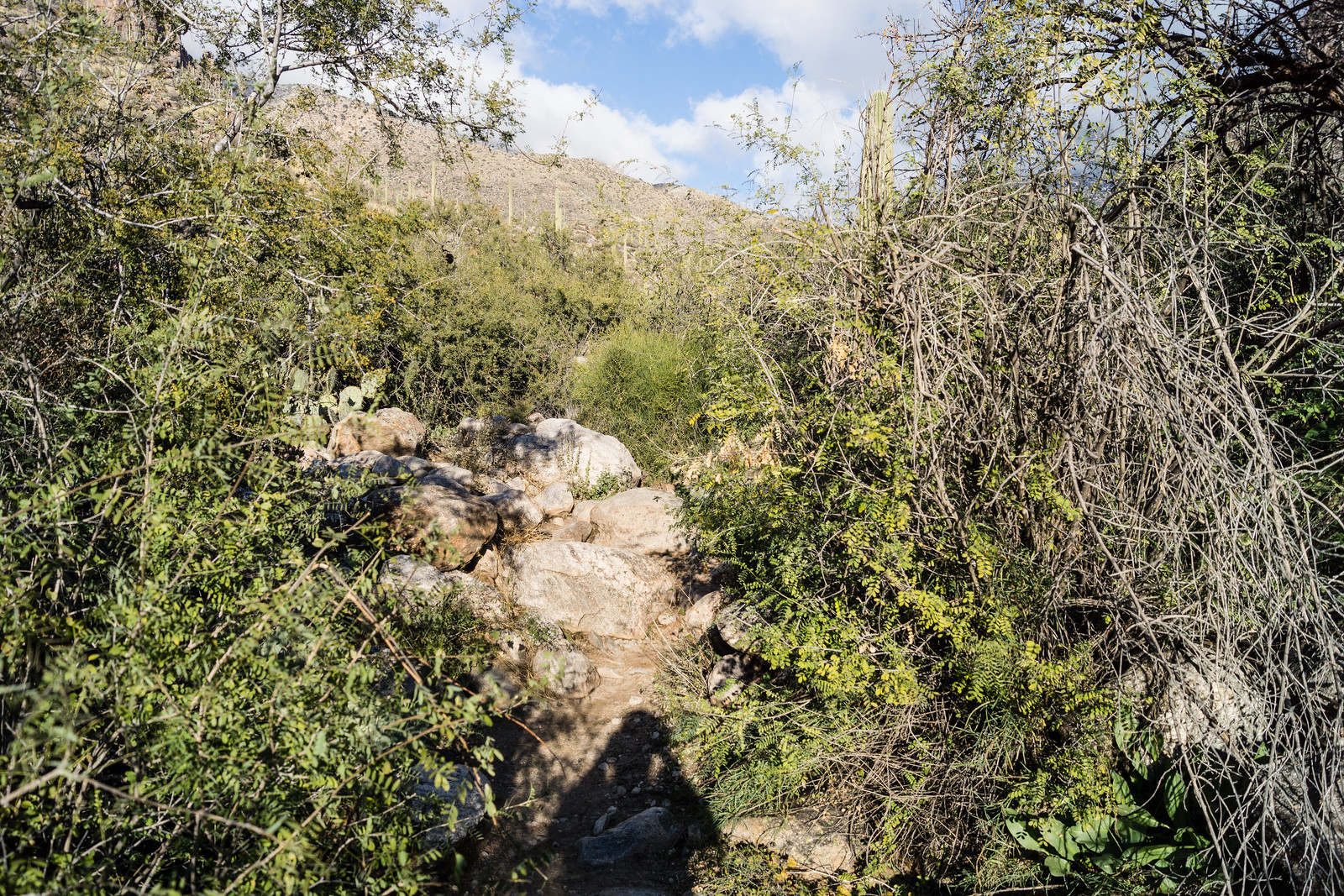
The fenced access corridor from the Campbell Trailhead. December 2018.

Hiking north from the Campbell Trailhead is an interesting experience – for much of its length the tight corridor to the Pusch Ridge Wilderness is bounded by chain linked fence topped with barbed wire – today it reminds me of a passage from Paul R. Krausman’s And Then There Were None – The Demise of Desert Bighorn Sheep in the Pusch Ridge Wilderness, p. 103:

it was apparent that the growing human population of Tucson and surrounding towns had developed right up to the borders of protected areas, essentially creating an anthropogenic fence around the population of bighorn sheep that prevented them from moving to other mountain ranges that they historically occupied in the Tucson Basin, including the Silver Bell, Tucson, Rincon, and Santa Rita Mountains, which may have provided habitat for a metapopulation of bighorn sheep. This anthropogenic fence clearly added to the genetic isolation of the herd.

I don’t believe there is any intended double meaning in Krausman’s passage – but, in-between the tall chain link, it seems to beg for a re-imagining into the text of a future – strangely similar – volume on a different species:

it was apparent that the growing human population of Tucson and surrounding towns had developed right up to the borders of protected areas, essentially creating an anthropogenic fence that prevented them from moving thru the mountain ranges that they had historically used in the Tucson Basin, including the Silver Bell, Tucson, Rincon, and Santa Rita Mountains, which may have provided critical habitat for escape from their increasingly crowded technologically-dominated urban environment. This anthropogenic fence clearly added to the isolation of the human population from the natural world now so critical to their survival.
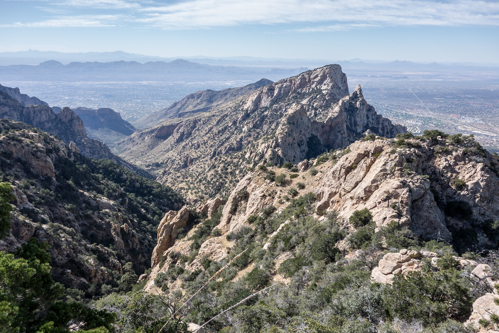
Looking across Pima Canyon to Pusch Peak, The Cleaver and Bighorn Mountain from just below Rosewood Point. December 2018.

With an official trailhead you might expect an official trail at the end of the access corridor, but there isn’t one – and with the overlapping concerns of the Pusch Ridge Wilderness and Bighorn Management Area I don’t think there ever will be. Without an official trail entrance into the wilderness is closed at this location from January 1 to April 30 – but the rest of the year you can explore the wilderness – perhaps finding the rough, informal, steep, sometimes obscure and hard to find route that winds its way towards Rosewood Point and up towards more distant destinations.

Looking up Pima Canyon from the Rosewood Point area. December 2018.

Rosewood Point is on the east side of Pima Canyon with views down into the canyon and across to the well known destinations on Pusch Ridge: Pusch Peak, The Cleaver, Bighorn Mountain and Table Mountain – and Rosewood Point is high enough that, like all good destinations in this area of the mountain, there is a thriving population of Shin Daggers to …enjoy… A minor, but worthy, destination.

Sun and fence on the Campbell Trailhead access corridor. December 2018.
Pontatoc Ridge in the Sunset from the Campbell Trailhead. December 2018.

Pima Canyon Trail, Flowers! – 4/26/2018

Prickly Pear. April 2018.

On the one hand the flowers last year were much more impressive – on the other hand even a ‘less impressive’ year still has an incredible number of flowers to see! Photos from a hike up the Pima Canyon Trail to the dam where the only water remaining is in small pools hiding near the cattails…

Morning Glory. April 2018.
April 2018.
April 2018.
Cholla. April 2018.
Cholla. April 2018.
Brownplume Wire Lettuce. April 2018.
Desert Chicory. April 2018.
Cockroach Plant. April 2018.

Pima Canyon Trail to the First Dam – 1/23/2017

January 2017.
Flowing water in Pima Canyon covering the first canyon crossing on the Pima Canyon Trail. January 2017.

January 2017 can’t quite rival January 2015 for weather in Pima Canyon – in 2015 snow fell low into Pima Canyon collecting on the tops of the Saguaros and making sections of the trail a snowy tunnel – but the weather this year has put a wonderful amount of water in motion and it was spectacular to see water covering and flowing down canyon from the first canyon crossing on the Pima Canyon Trail.

January 2017.
Looking up at the Cleaver from the Pima Canyon Trail. January 2017.
January 2017.
Rushing water in the first dam area of Pima Canyon. January 2017.
January 2017.
A tree standing above the water and against the sky in Pima Canyon. January 2017.

Pima Canyon Trail in the Snow, 1/1/2015

Winter weather forecasts have disappointed many times – but the New Year’s Day conditions lived up to the hype – snow covering all of the Santa Catalina Mountains and blanketing the desert – what a fantastic start to 2015!

At 10AM there was snow covering everything around the Iris Dewhirst Pima Canyon Trailhead – all wintery and white! There were quite a few cars in the parking lot and the first section of the trail was filled with people enjoying the snow – the views looking up the canyon were amazing!

1501 Looking up Pima Canyon
Looking up Pima Canyon – Winter Wonderland! January 2015.

After the first canyon crossing snow covered plants hung over the trail – not hard to push thru, but cold!

1501 Snow covering all the plants along the Pima Canyon Trail
Snow covered plants push into the Pima Canyon Trail. January 2015.

The footsteps in the snow disappeared before the dam…

1501 Rock and Snow in Pima Canyon
At the first dam looking up canyon with clouds swirling above. January 2015.

After the dam the snow becomes subtly ever deeper and the trail becomes a little harder to find – even in good weather this section has fewer visitors – I pause occasionally to puzzle out a path.

1501 Snow around the Second Dam on the Pima Canyon Trail
Deeper snow blanketing the area around the 2nd Dam in Pima Canyon. January 2014.

The shoe prints ended over a mile ago – now there are deer tracks in the snow, it doesn’t take long to realize the the tracks are following the trail, for a time I simply follow them – the deer clearly knows this section of trail better than I do.

1501 Higher in Pima Canyon
Looking up canyon from the Pima Canyon Trail – eventually in the tight canyon ahead I lost the trail and turned around for the day. January 2015.

A sound draws my attention across the canyon and I turn to watch ice falling from rock walls – the deer tracks plunge steeply off the trail towards the bottom of the canyon – at the time I didn’t think anything of it, but in retrospect maybe they know the conditions better than I do… Minutes later the trackless trail crosses the canyon and I loose it on the hillside above, it takes a few zig-zags up and down the hillside to find it again. A few more minutes of trail and I am left standing in the bottom of the snow covered canyon trying to remember if the trail crosses onto the hillside above or stays near the canyon bottom – time to turn around.

Lower on the trail the conditions have changed – the plants that were covered in snow earlier are now standing straight again – wet, but without a hint of snow.

1501 Later in the day on the Pima Canyon Trail with the snow melted
Lower on the trail the snow that had blanketed everything earlier in the day was gone – amazing to see it change so fast! January 2015.

Pima Canyon Trail. 10.9 miles, 3000′ of elevation gain and loss.

Finger Rock Trail and Pima Canyon Trail – 11/30/2014

1411 West Side of Finger Rock Canyon
A view of the west side of Finger Rock Canyon from the Finger Rock Trail. November 2014.

Combining the Finger Rock Trail and the Pima Canyon Trail gives you access to miles and miles of great views and notable destinations – Linda Vista, Mount Kimball – outstanding views up to the top of the mountain, Pima Saddle – a unique view down Pima Canyon from the nearby highpoint, Pima Spring and the lovely bottom of Pima Canyon… But it does require some effort – 13.5 miles, +4860’/-4925′ of elevation gain/loss with a car shuttle between trailheads.

1411 Looking Down Pima Canyon from the Pima Canyon Trail
Above Pima Saddle looking down Pima Canyon. November 2014.

1411 Inside the Pima Spring Tank
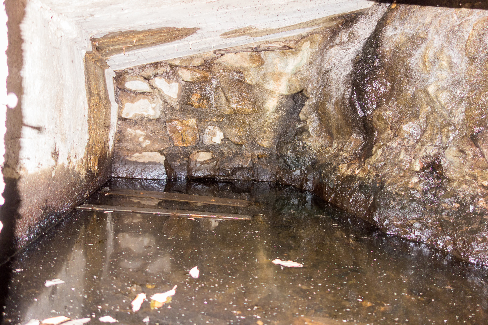
The inside of the Pima Spring Tank – via camera flash – note the small stalagtites

1411 Setting Sun in the Cottonwoods
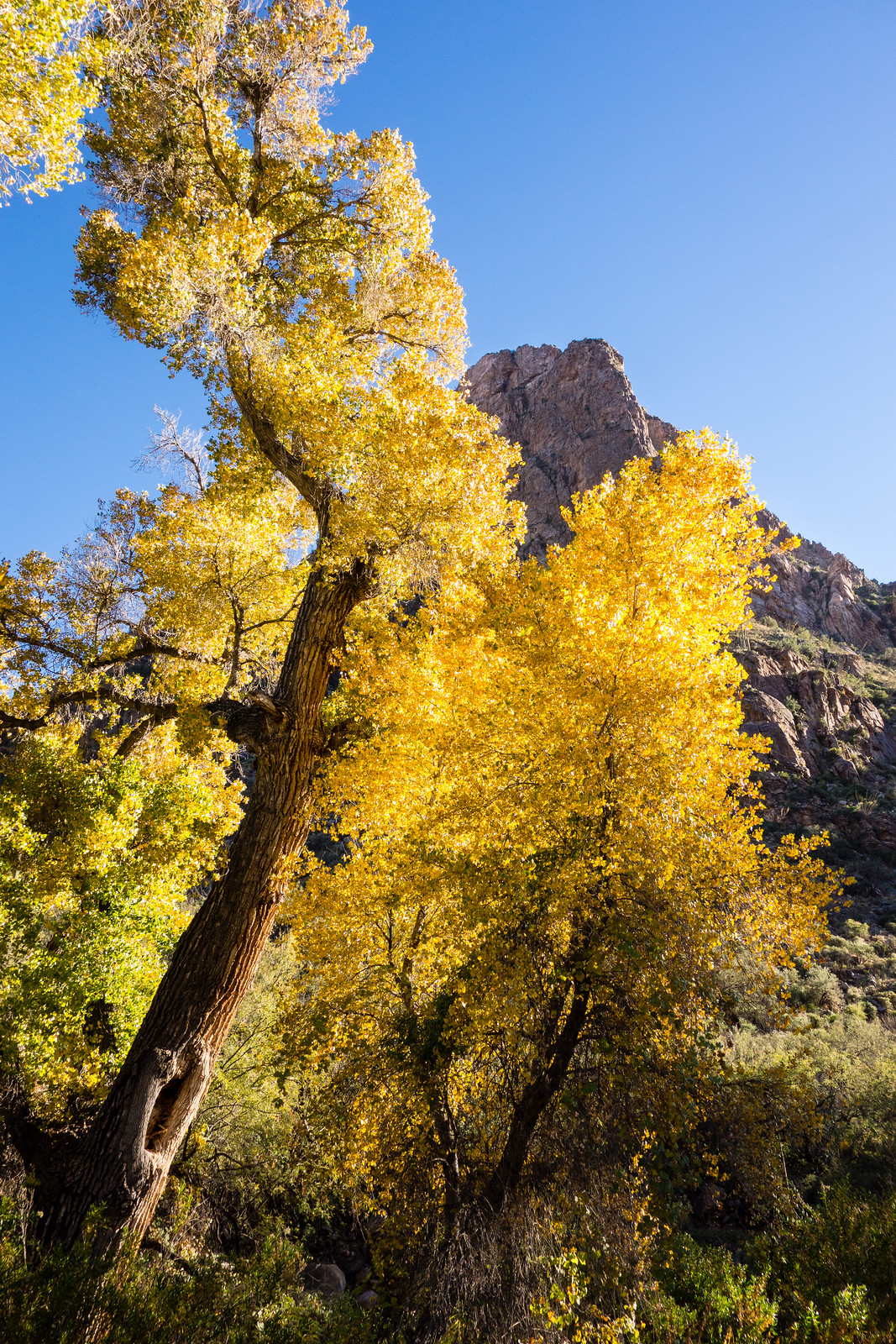
End of the day sun and Cottonwoods along the Pima Canyon Trail. November 2014.