Honey Bee Canyon Trail Access Issue – 9/4/2016

Pusch Peak from Honeybee Canyon Park in Oro Valley. August 2016.

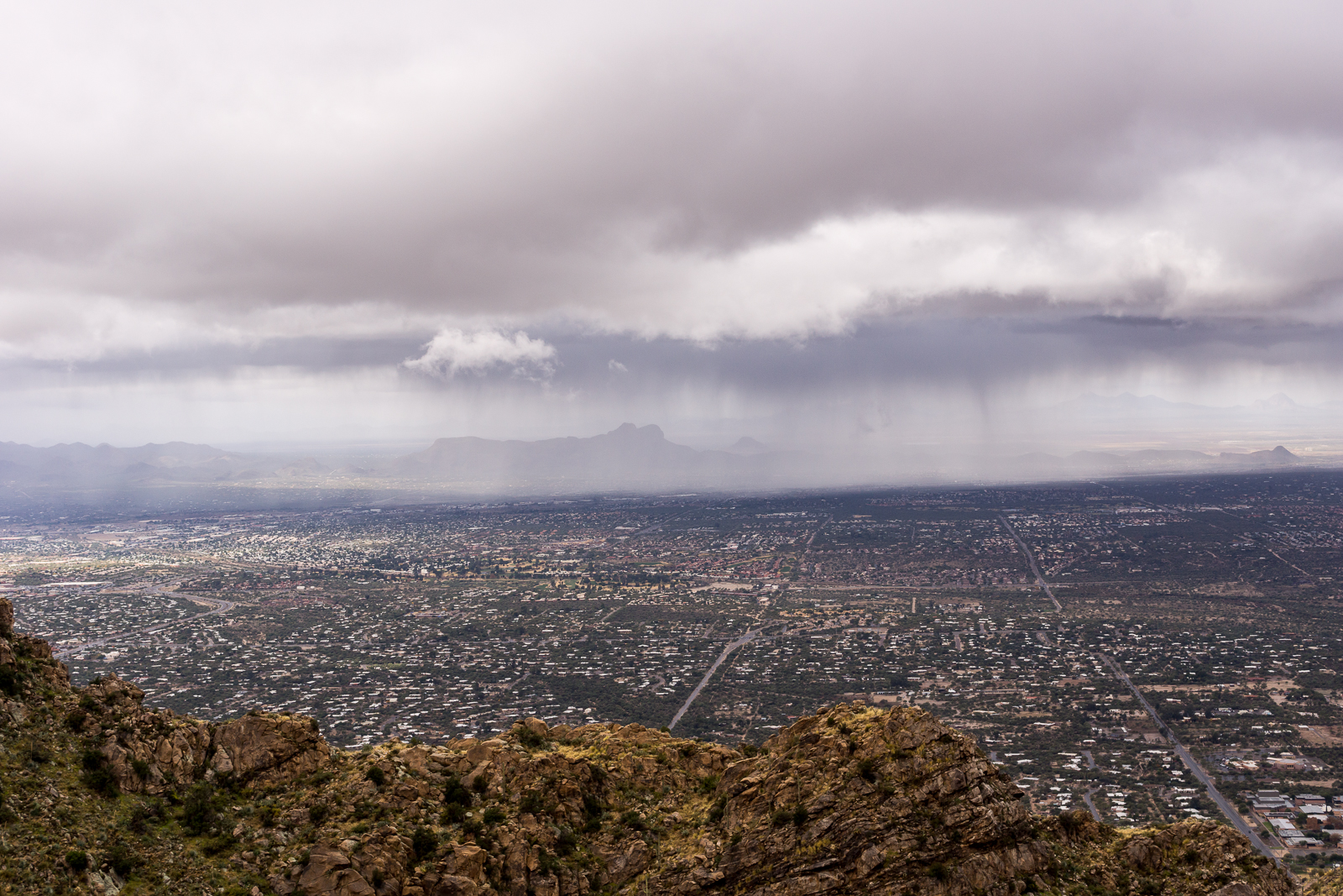
Bicycle Tucson recently made two posts – Honeybee neighborhood to attempt bike ban Oct. 1 and Show your support for trail access at OV town council – that you should read about an access issue in the Honeybee Canyon/Rancho Vistoso/Oro Valley area.

Access has been an issue in this area before – see After 30 years of fighting and compromise, Rancho Vistoso nearly complete for some details back into the 1990s and HONEYBEE CANYON/TORTOLITA MOUNTAIN ACCESS UPDATE for more recent history – and it appears that there may be an upcoming chance to influence future access – posted to Facebook by The Damion Alexander Team:

The Home Owner Association at Honeybee Ridge has put up a sign saying that trail access via the easement off of Quiet Rain Dr. will be closed as of October 1, 2016.

There are differences of legal opinion as to if the HOA has the authority to do this. Regardless of if they have the law on their side, what is clear is the community needs to create a permanent access to these trails.

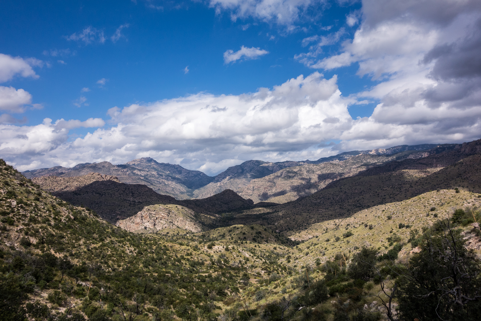
We need the elected officials to know how important this for the kids and families, businesses, tourism, health and vitality of Oro Valley and the region. HoneyBee/Rail X Ranch Trails offer some of the best beginner trails in the region and are often used in the National promotion of our region.

At the city council meeting on September 7th at the call to the audience the cycling community and other trail users need to show up and tell the mayor and council how important this access point is. We also need to make them aware of other options (AND THE CURRENT LACK THERE OF) for accessing Honeybee trail.

With the current election many in candidates are calling for a new and improved Oro Valley. One that is not known as just a retirement community. Because of this our voice will resonate louder. Please take your time and show up for this meeting. If you can’t make this one, show up at the next one. We are going to need to keep a constant vigil to save our trails.

The meeting is at 6:00 PM on September 7th. at the Oro Valley Town Hall. 11000 N La Canada Drive Oro Valley, AZ 85737

Stars and Clouds, Night in Sabino Canyon – 2/6/2016

Blackett's Ridge under the stars. February 2016.
Blackett’s Ridge under the stars. February 2016.
A tree above the Sabino Canyon 'lake'. February 2016.
A tree above the Sabino Canyon ‘lake’. February 2016.
Clouds and Stars above the Santa Catalina Mountains. February 2016.

We hiked, slowly and with pauses for pictures, out passed the dam and to the lake, under the stars and clouds – it was a beautiful night and as our friend Mindi wrote “I can’t even describe how much fun it is to go sit in the dark with your camera!”

Rock Art, Ranch, and Residence: Cultural Resources in the Town of Oro Valley and Its Planning Area – 1/20/2016

Snow and clouds on the top of the mountain. January 2016.
Snow and clouds – looking up at Mount Lemmon from Honeybee Canyon Park. January 2016.

Having taken several trips to Honeybee Canyon Park in the past few months I was looking for a little more information about the area and came across Rock Art, Ranch, and Residence: Cultural Resources in the Town of Oro Valley and Its Planning Area. This document was developed by William Self Associates for Oro Valley and completed in 2010.

The document covers the history of the Oro Valley area from the Paleoindian Period (10,000+ years ago) into the 20th century – some of the included information: Hohokam ruins such as Honey Bee Village and Sleeping Snake Village, early land claims in the area, notable 20th century architecture including the Countess of Suffolk’s Forest Lodge and information about later development in the area. While most of the information is fairly brief the broad overview was very interesting to read.

One of the details that I enjoyed was seeing the General Land Office maps of the Oro Valley Area. The General Land Office was created in 1812 and oversaw the survey, platting and sale of public land – including land in present day Oro Valley. The Oro Valley records are from the beginning of the 20th century when the area began to see a steady stream of homesteaders entering the area –  Rock Art, Ranch, and Residence asserts that:

The relatively late beginning for the settlement along the Canada del Oro can be attributed in large part to a continuing perception of the area as dangerous: it was still considered a place too far from Tuscon and too close to the usual range of the Apaches. (p. 60)

The Bureau of Land Management makes many General Land Office Records, dating back to 1810, available online. The map below, from 1902, shows Pusch and Zellweger’s Steam Pump Ranch (which you can still visit today)  – labeled Pusch Ranch – and another ranch – ‘Mexican Ranch’ – that was probably owned by the Marin family and later patented by Francisco Marin. The roads on the map are a reasonable match for modern roads – the early version of Oracle Road is especially easy to recognize!

Township 12 South, Range 14 East, 1902 - General Land Office.
Township 12 South, Range 14 East, 1902 – General Land Office.


Winter Storm, Pusch Peak – 12/12/2015

A line of rain, hail and snow moving towards the mountain. December 2015.
Winter storm on the route up to Pusch Peak. December 2015.
In the clouds on Pusch Peak. December 2015.
Light thru the clouds from the overlook off the Pusch Peak route. December 2015.

We watched clouds swirl across the mountain peaks in the AM before we started – but Pusch Peak was clear and it looked like a great place to watch the storm… It didn’t take long for the storm to catch us though, waves of precipitation rolled towards and over us, rain first – then hail – then snow, when we reached the peak it had been eaten by the clouds – too cold to linger we started back down.

The Santa Catalina Mountains had several days of winter storm – while the links below are now ‘old’ a number of them have interesting pictures – some showing the snow on the mountain!

Prison Camp to Sabino Canyon – 10/6/2015

A wall near the top of the Sycamore Reservoir dam. October 2015.
Looking across the Santa Catalina Mountains - from near Shreve Saddle, looking down on Sycamore Reservoir. October 2015.
Looking across the Santa Catalina Mountains – from near Shreve Saddle, looking down on Sycamore Reservoir. October 2015.
Looking back towards the Prison Camp area from the Bear Canyon Trail - fast moving clouds covering the mountains. October 2015.
Looking back towards the Prison Camp area from the Bear Canyon Trail – fast moving clouds covering the mountains. October 2015.
Looking down Bear Canyon - rain in Tucson and a break in the clouds above. October 2015.
Looking down Bear Canyon – rain in Tucson and a break in the clouds above. October 2015.

Waves of rain and hail were the highlights of the day – it was beautiful to see the mountain covered in clouds and wet with rain!