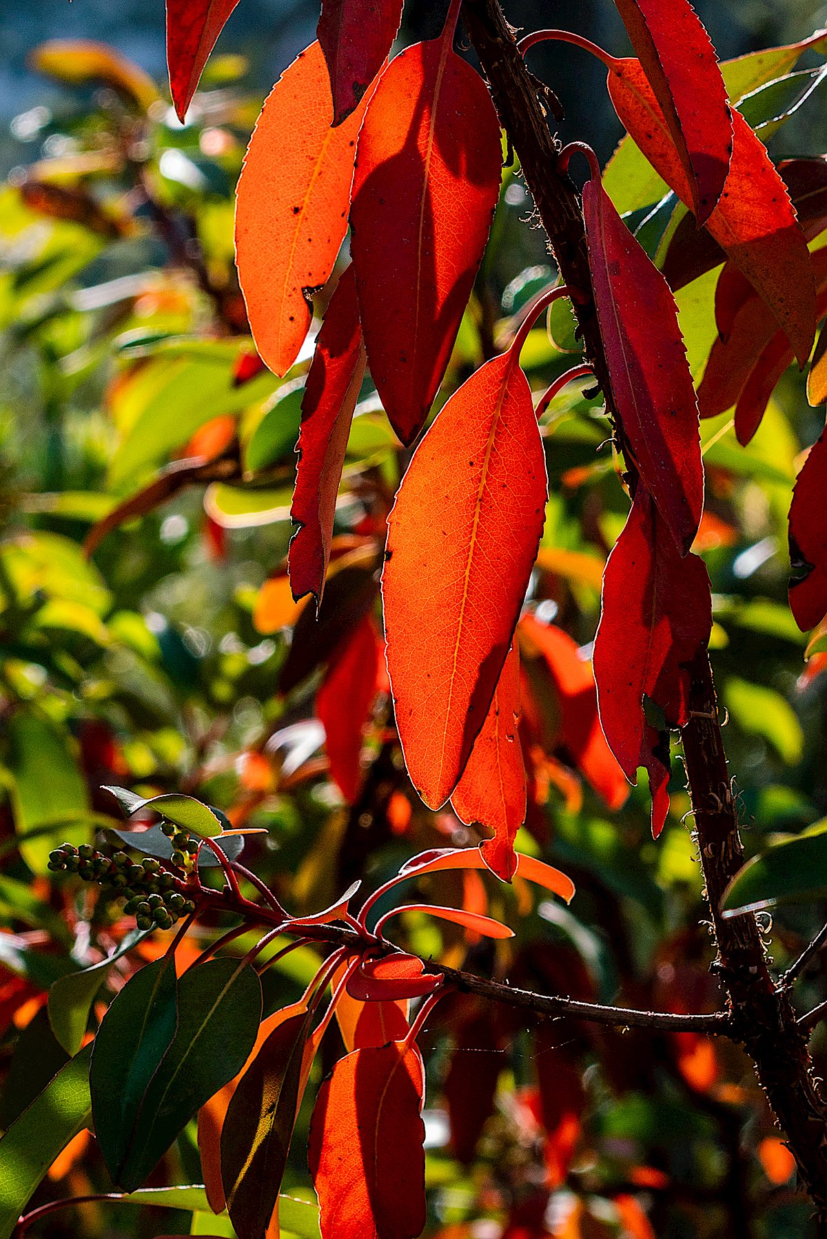
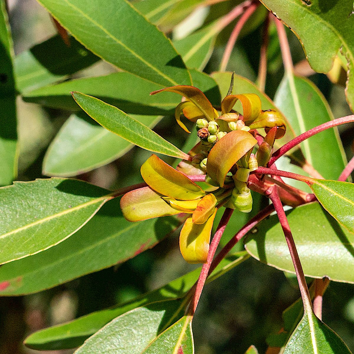
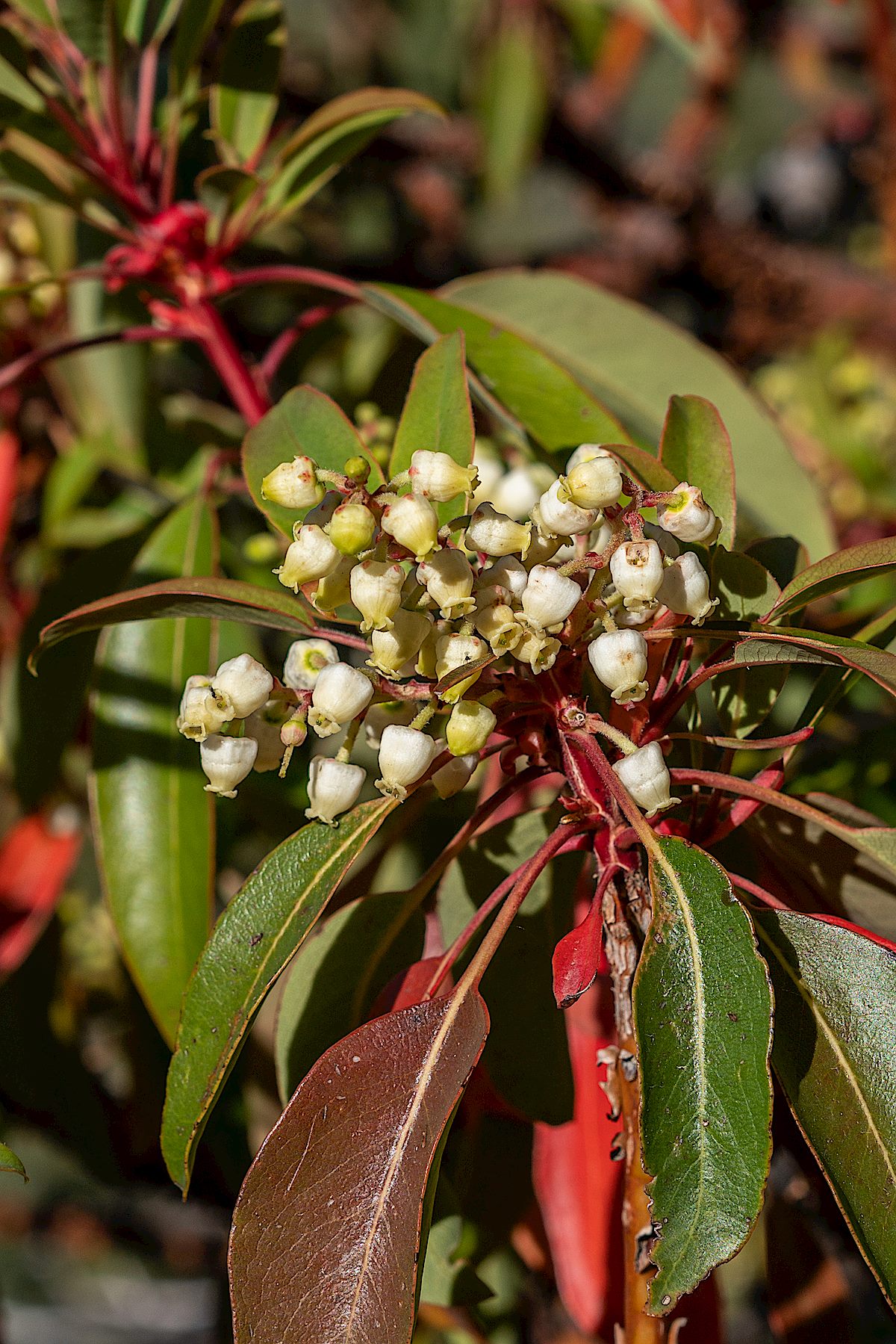
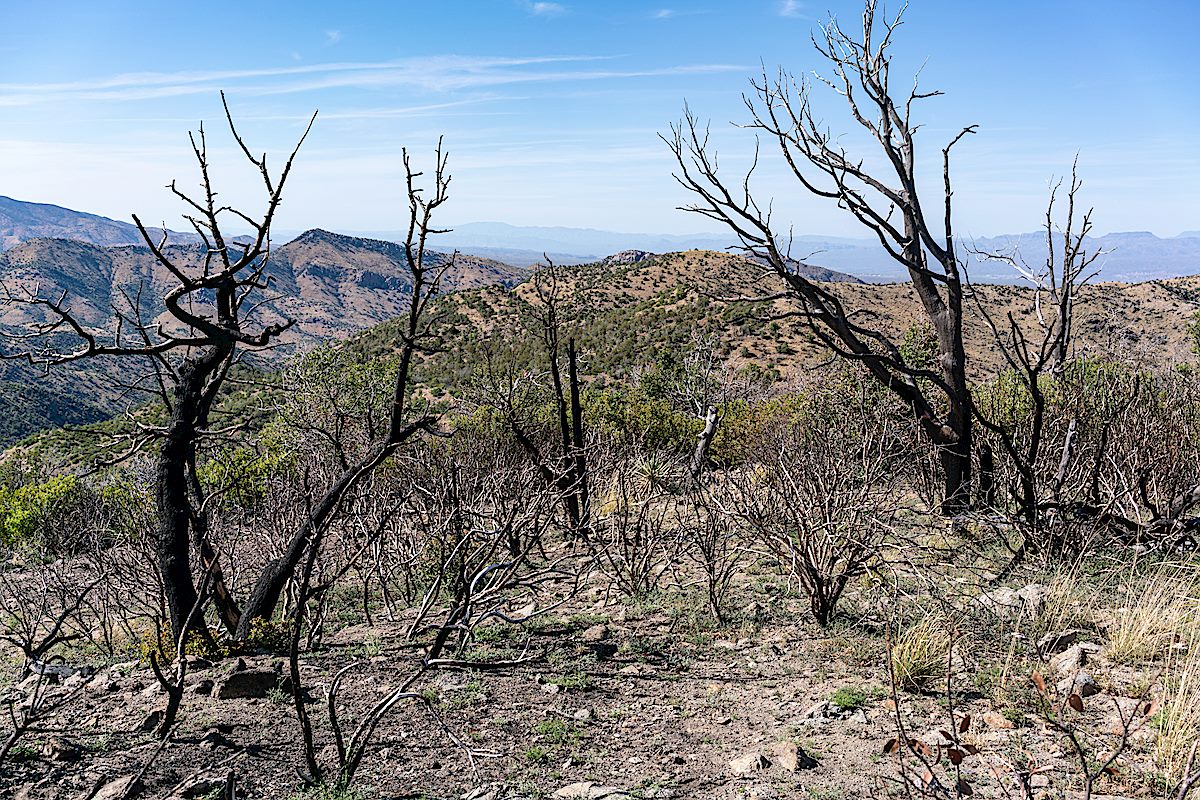
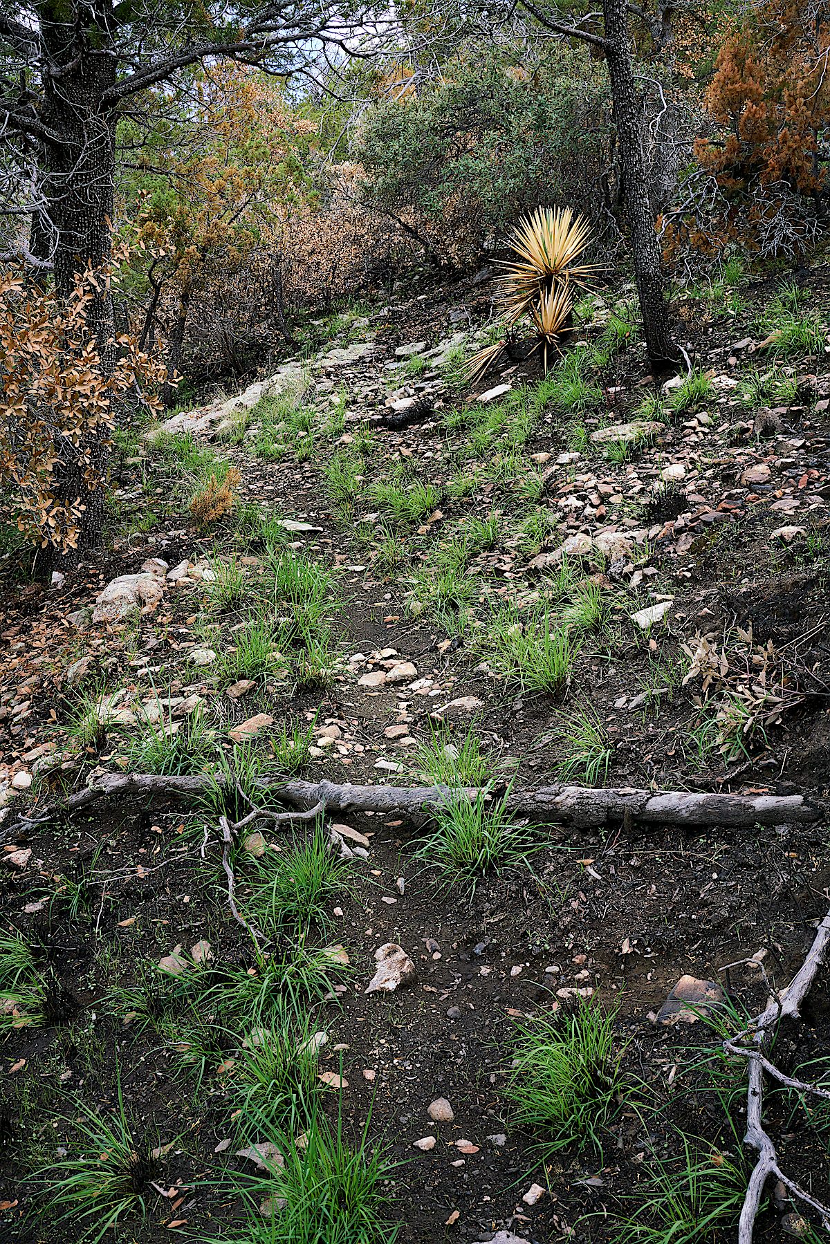
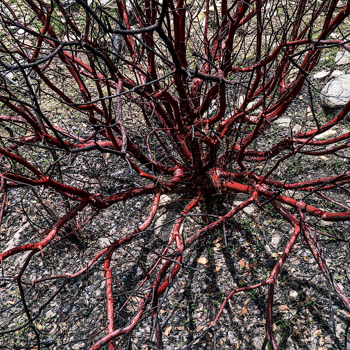
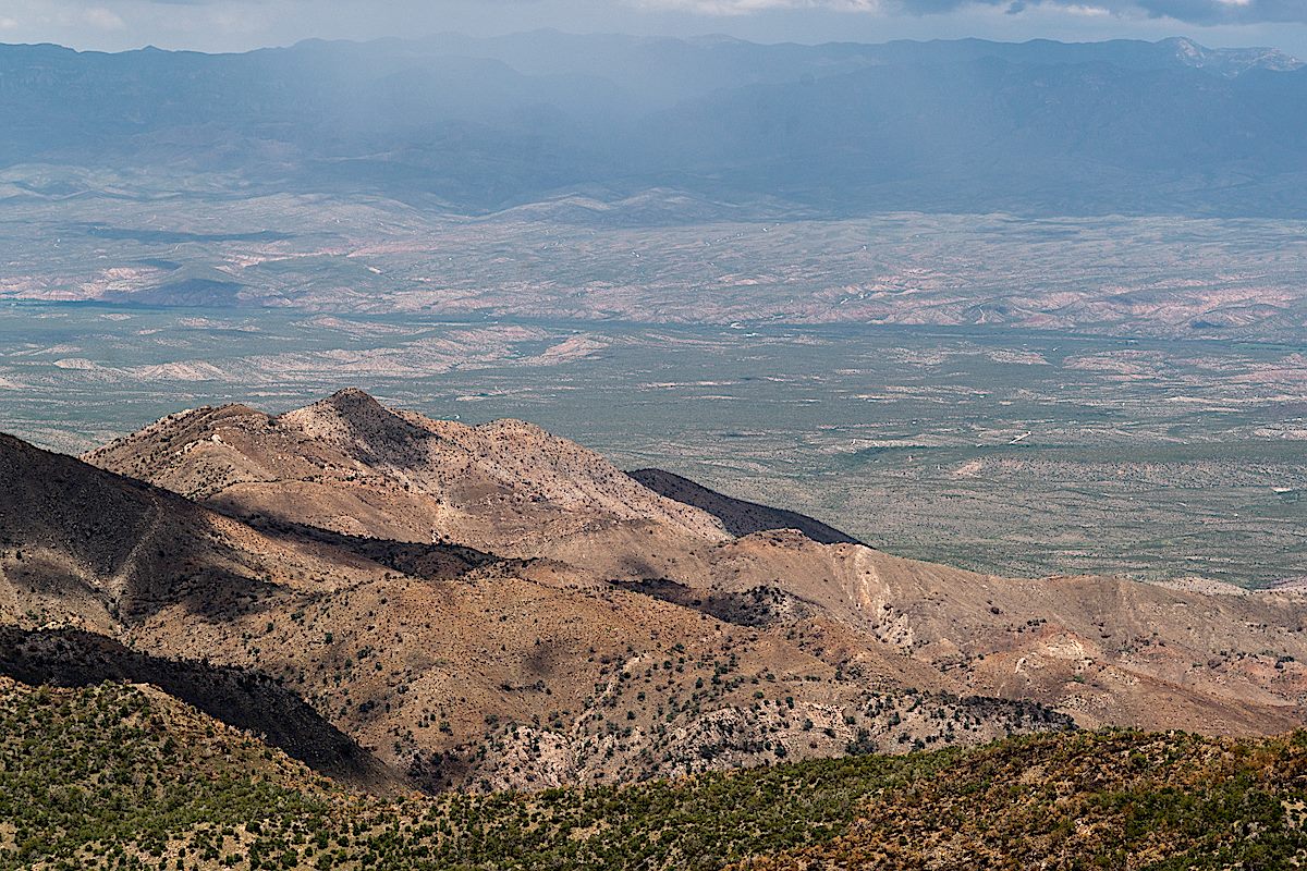
New growth, flowers and sunlit red leaves on the Madrones – beautiful details along the Brush Corral Shortcut Trail and the Upper Brush Corral Trail. Further down the Upper Brush Corral Trail areas burned in the Burro Fire come into view – along the trail these areas look largely the same as they did last year – but it is interesting to see that, from a distance anyway, the slopes of Evans Mountain already look less brown than they did last July.
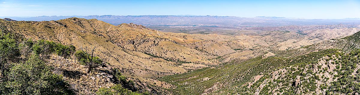
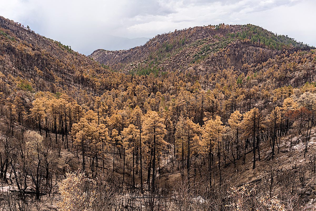
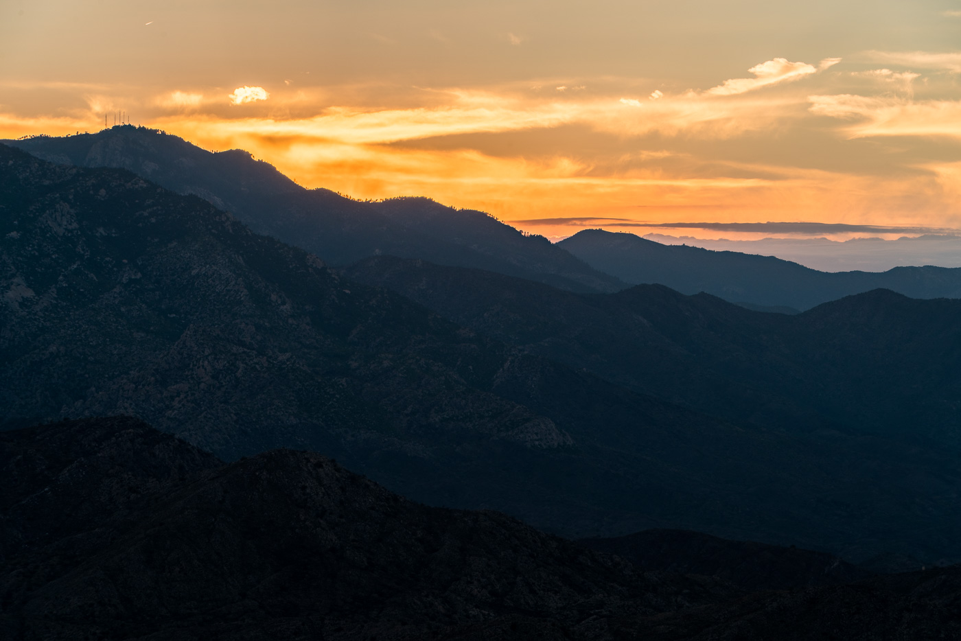
Madrone – New Growth. May 2018.Madrone – Flowers. May 2018.Burro Fire Burn. May 2018.A view of Evans Mountain and Buehman Canyon from the current end of the Upper Brush Corral Trail. May 2018.
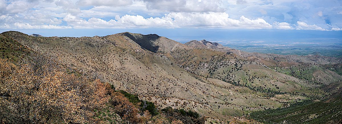
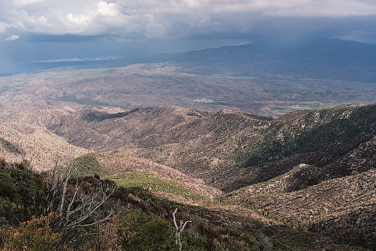
View from near the end of the Upper Brush Corral Trail. July 2017.
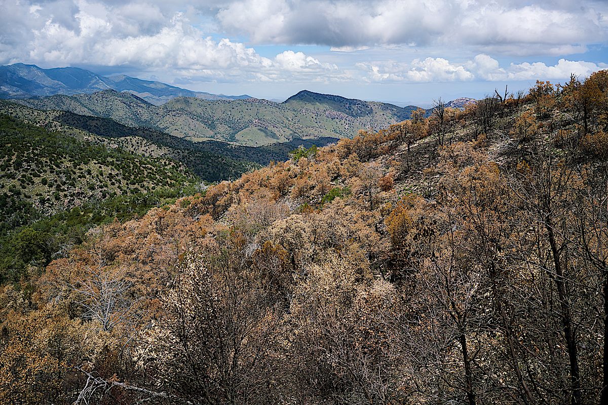
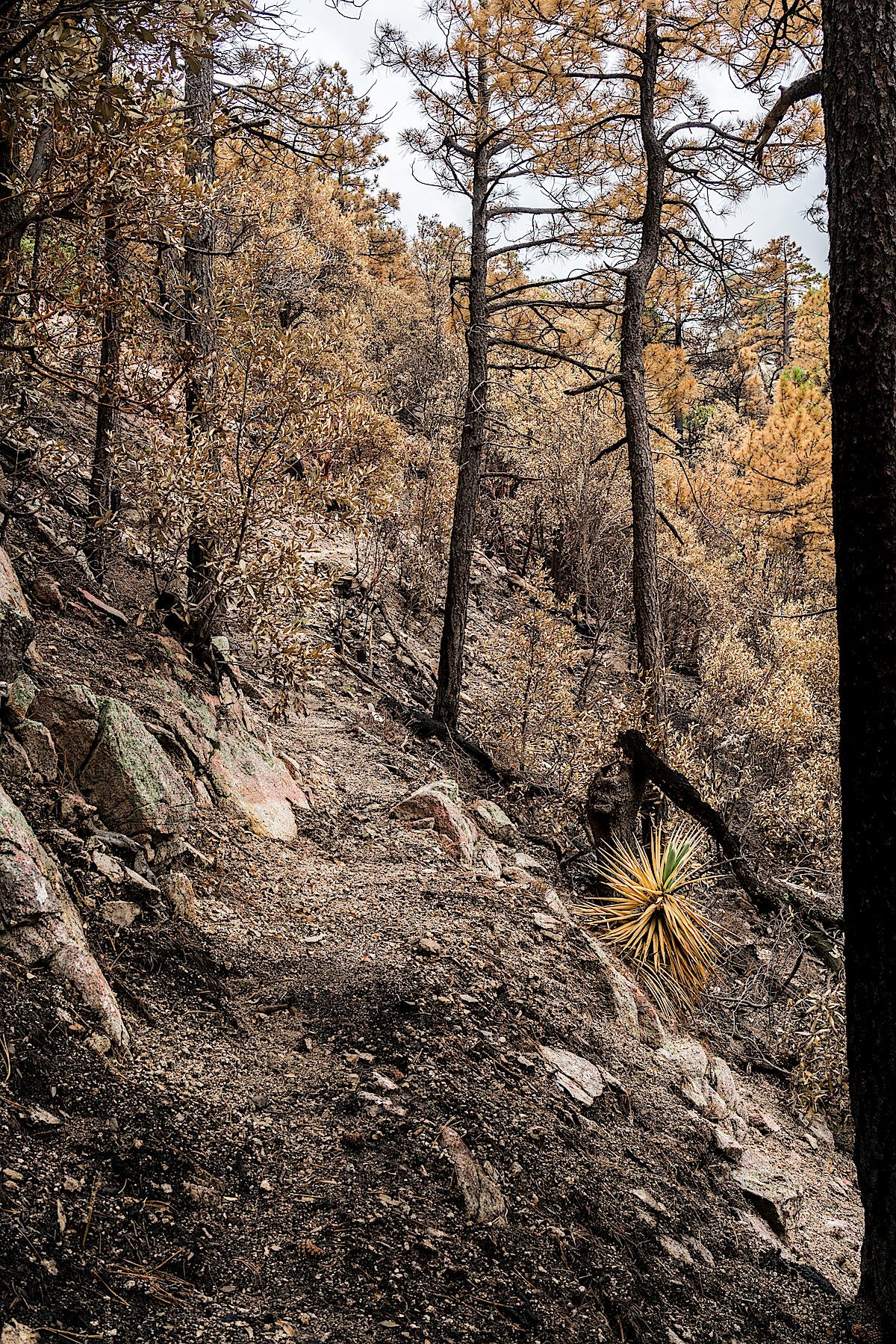
Up to the junction with the Brush Corral Shortcut Trail there is no evidence of the Burro Fire on the Upper Brush Corral Trail – and even below the junction it takes some time to enter areas touched by the fire. But as you get closer to ridge where the Brush Corral Trail devolves into an off-trail route areas burned in the fire start to appear.
New grass Just weeks after the Burro Fire. July 2017.
Lower on the trail the impact of the burn is more severe but, somehow, maybe because some of this area burned in the 2002 Bullock Fire, the changes in this area don’t seem as shocking as on the top of Guthrie Mountain. The Upper Brush Corral Trail down into the more obscure part of the trail below the Brush Corral Shortcut Trail junction is definitely an interesting way to get a first hand look at the impact of the Burro Fire.
Looking over a hillside burned in the 2017 Burro Fire. July 2017.A Manzanita cleaned by the Burro Fire. July 2017.
Entering the Burro Fire burn on the Guthrie Mountain Trail. July 2017.
On the Green Mountain Trail it was hard to tell what I would find – the Green Mountain Trail was untouched by the Burro Fire, but not far from Bear Saddle on the Guthrie Mountain Trail the impact of the Burro Fire became obvious.
Brown trees below and on the slopes of Guthrie Mountain. July 2017.
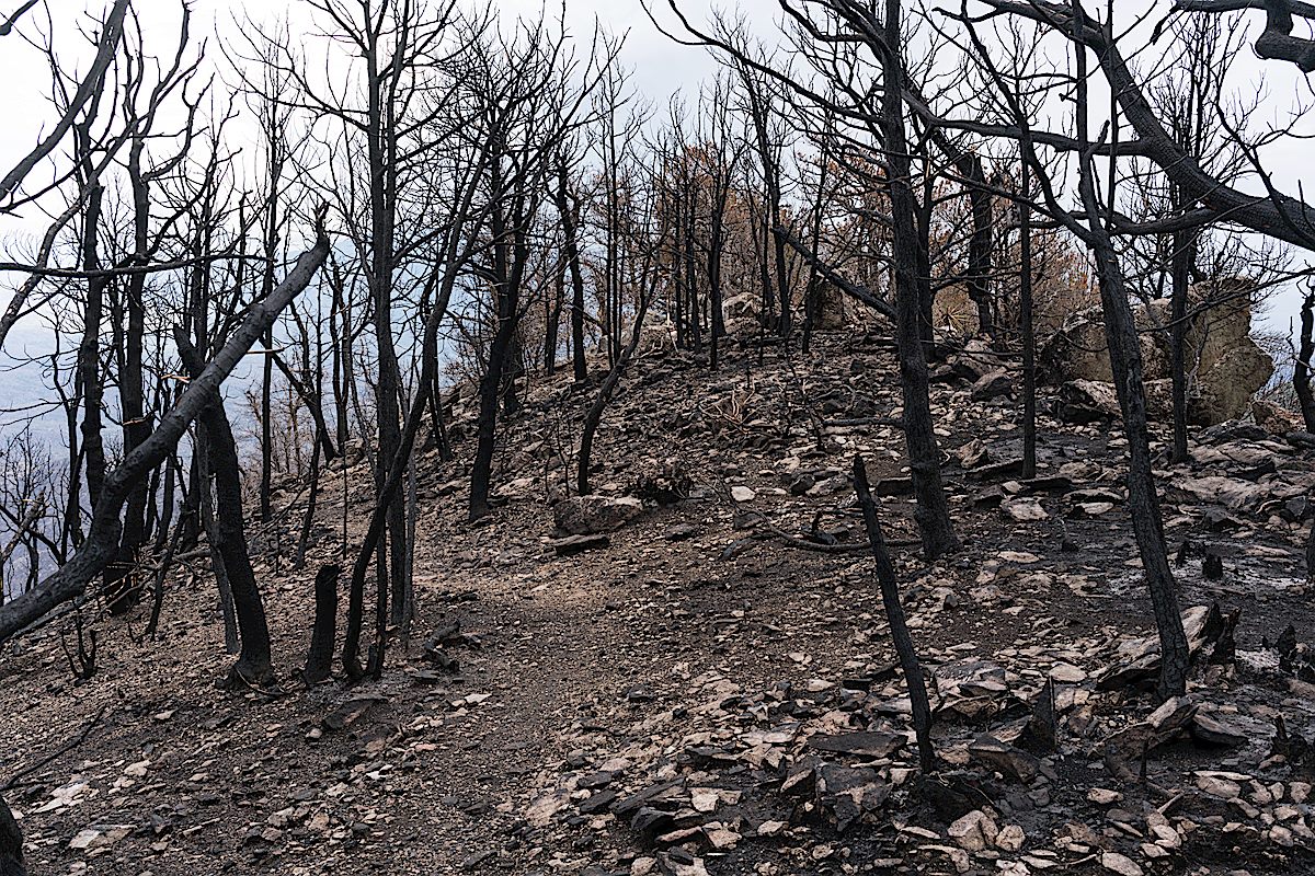
On the ridge out to the short rocky climb before the summit the trees scorched by the fire seemed almost like strange fall colors – but the summit must have burned hotter, here the trees have been transformed into black sticks.
The summit of Guthrie Mountain a few weeks after the Burro Fire. July 2017.
With the trees and brush largely cleared by the fire it is now easy to wander down from the summit for more photos – other areas burned in the Burro Fire attract my attention today – the slopes of Evans mountain and Burro Creek are distinctly brown.
Evans Mountain – the Burro Fire was stopped at Edgar Canyon on the other side of this ridge. July 2017.Looking down from the slopes of Guthrie Mountain on Burro Creek – also burned in the Burro Fire. July 2017.
Guthrie Mountain is still very much worth visiting – I was a bit stunned at first by the new look of the summit, but the burned slopes are already spouting new growth and it will be interesting to see what happens as the area comes back to life.
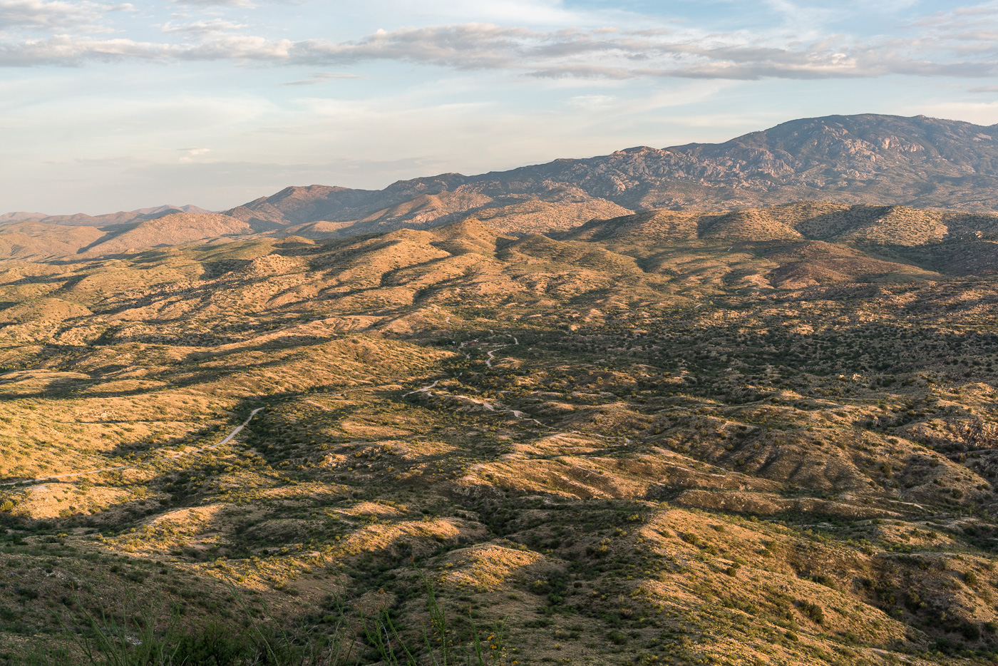
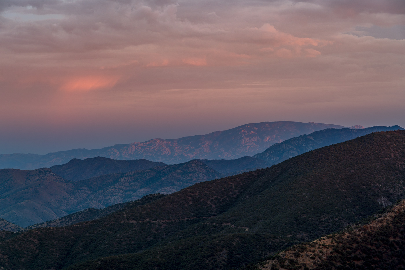
Redington Road had been closed since the start of July due to the Burro Fire – on the first day that it re-opened I drove out along the fire perimeter and hiked to the top of Piety Hill. The Burro Fire was stopped west of Piety Hill and in the sunset light it was hard tell where the Burro Fire burned – I am sure that there are areas that were heavily impacted by the fire but from Piety Hill I can still see green trees and grass below.
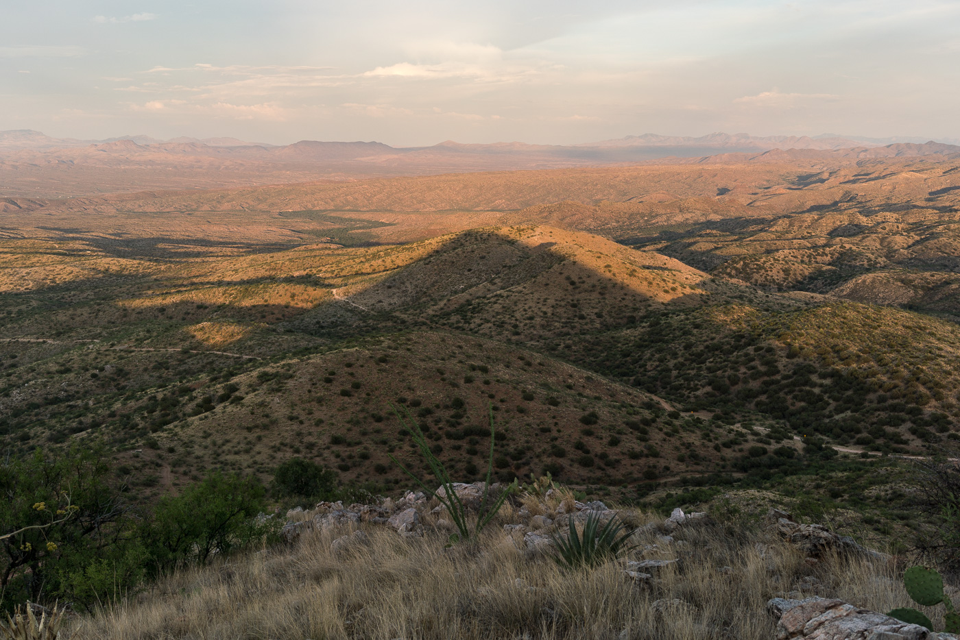
Piety Hill’s shadow towards the San Pedro Valley. July 2017.
Piety Hill is located on Pima County’s A7 Ranch – at 4,714′ it is not stunning high (‘Hill’ is the right name) – but it is high enough to overlook the San Pedro Valley and offer great views of the surrounding terrain! There is no official trail to the top, but the terrain, while steep, is reasonably open and it is not hard to find a way to the top.
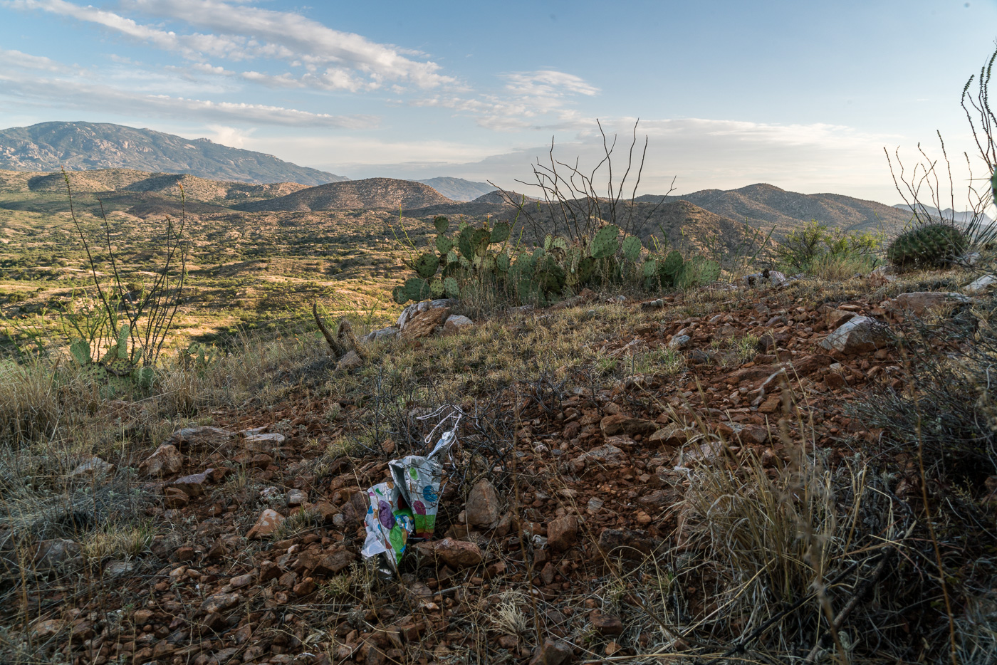
Looking up into the Santa Catalina Mountains from Piety Hill – Mount Bigelow on the left, Westfall Knob in the center. July 2017.Balloon Trash on the slopes of Piety Hill. July 2017.
From the Lower Oracle Ridge Trailhead it is about 4 miles to get to the top of Apache Peak located on the north end of the Santa Catalina Mountains. Most of the miles are on the Oracle Ridge Trail which traverses below the peak, but there is no established trail for the final steep climb, and in my experience while you can pick better/worse ways to the top there probably is not a ‘great’ way up (the climb is not overly long but expect the standard rocky/loose/brushy off-trail Santa Catalina hillside…).
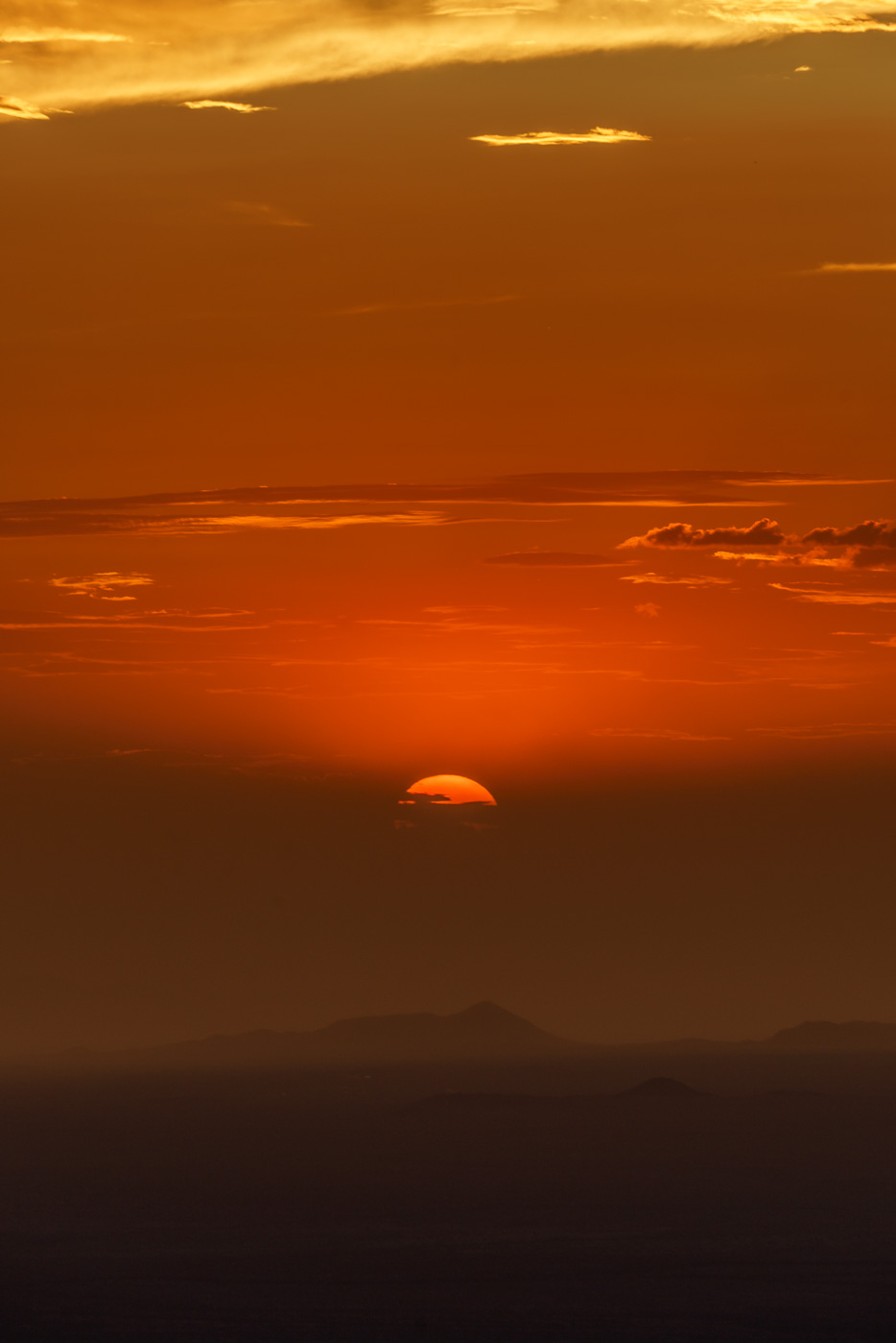
Sun disappearing behind the clouds at the end of the day on Apache Peak. July 2017.
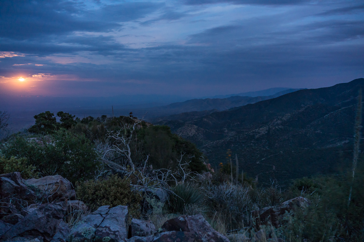
I arrive at the top just in time for the last light on the ridges to the south, the sun dipping below the clouds on the horizon, city lights coming on thru Charouleau Gap and the moon peaking thru the clouds as it rises over the San Pedro Valley – but tonight it is what I don’t see that is the surprise: no glow from the Burro Fire (currently at just over 27,000 acres), no spots of flame visible on the distant ridges and no obvious/large columns of smoke! The Burro Fire is burning to the south – Apache Peak certainly doesn’t have a view directly into the active part of the fire, but I suspect that the fire would have been clearly visible from here several days ago…
Watching the moon rise over the San Pedro Valley from Apache Peak. July 2017.
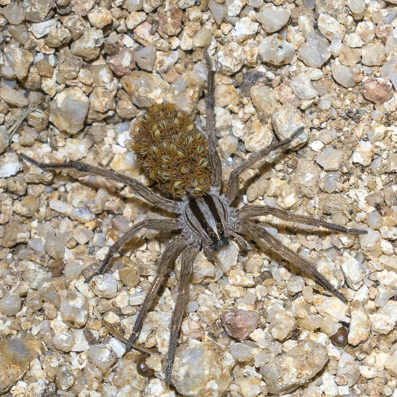
Clouds covering the moon make the hike back down surprisingly dark – spider eyes glint in the headlamp beam and when I finally slow down to look more closely it turns out to be many more spiders than I thought…
A spider – and many/mini spiders… On the Oracle Ridge Trail. July 2017.