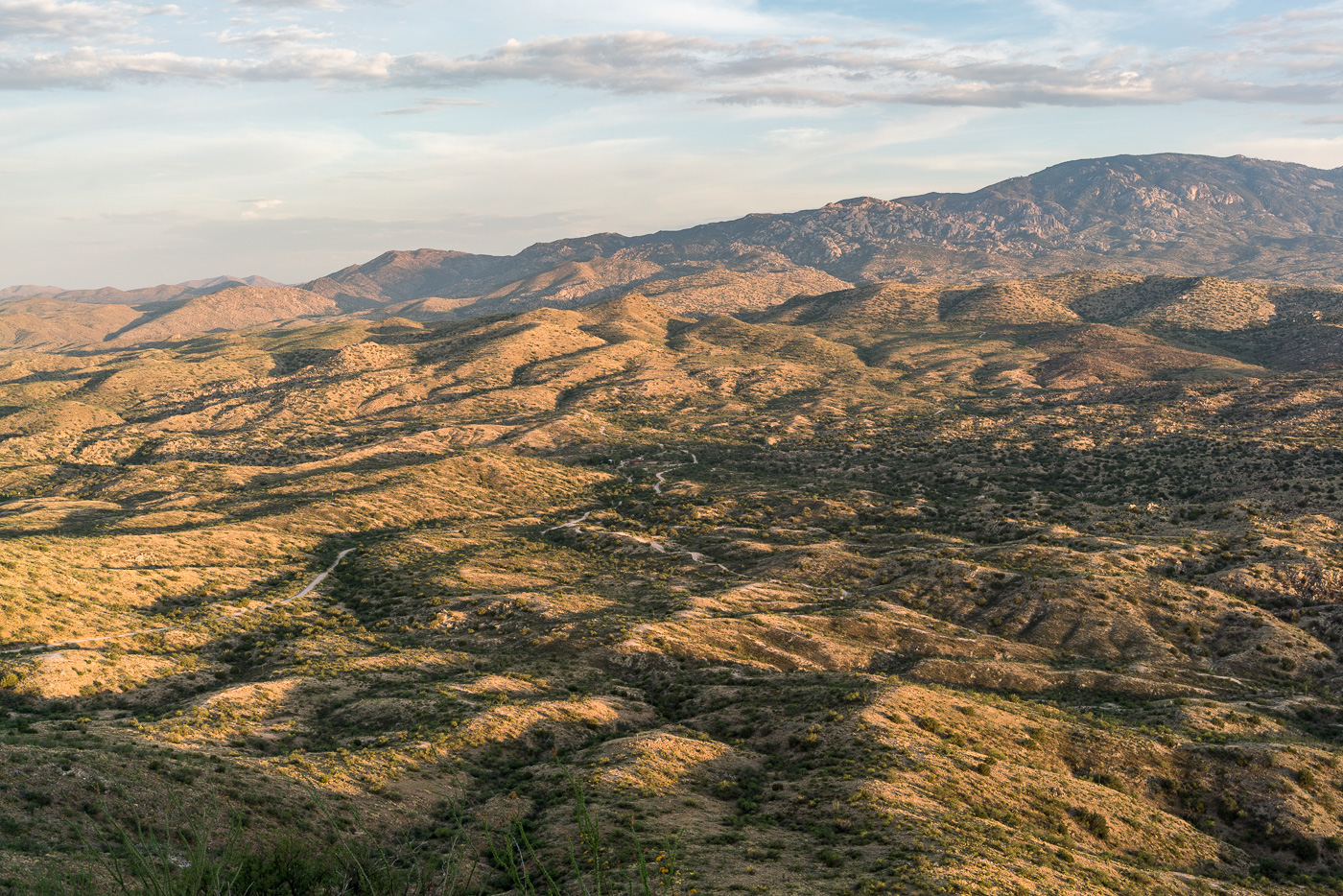
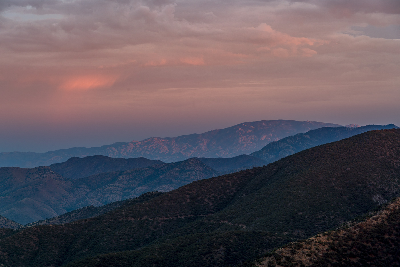
Redington Road had been closed since the start of July due to the Burro Fire – on the first day that it re-opened I drove out along the fire perimeter and hiked to the top of Piety Hill. The Burro Fire was stopped west of Piety Hill and in the sunset light it was hard tell where the Burro Fire burned – I am sure that there are areas that were heavily impacted by the fire but from Piety Hill I can still see green trees and grass below.
Piety Hill’s shadow towards the San Pedro Valley. July 2017.
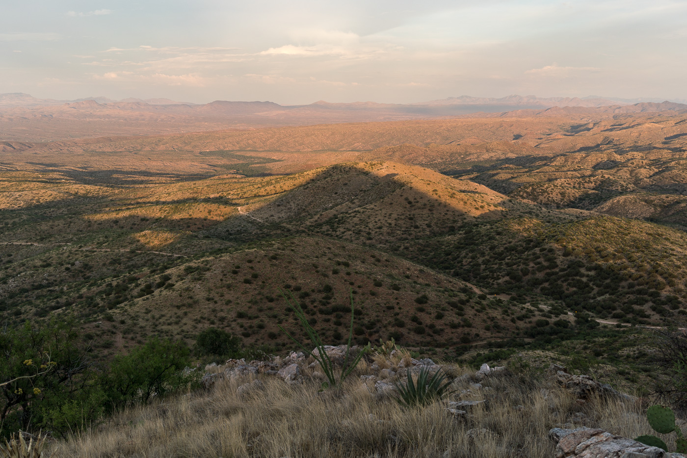
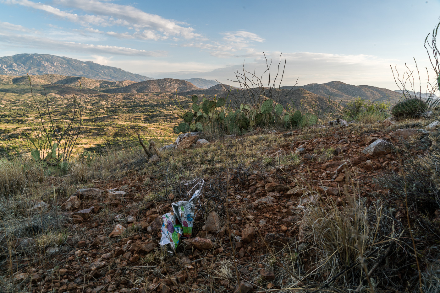
Piety Hill is located on Pima County’s A7 Ranch – at 4,714′ it is not stunning high (‘Hill’ is the right name) – but it is high enough to overlook the San Pedro Valley and offer great views of the surrounding terrain! There is no official trail to the top, but the terrain, while steep, is reasonably open and it is not hard to find a way to the top.
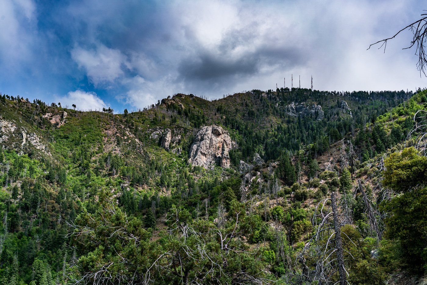
Looking up into the Santa Catalina Mountains from Piety Hill – Mount Bigelow on the left, Westfall Knob in the center. July 2017.Balloon Trash on the slopes of Piety Hill. July 2017.
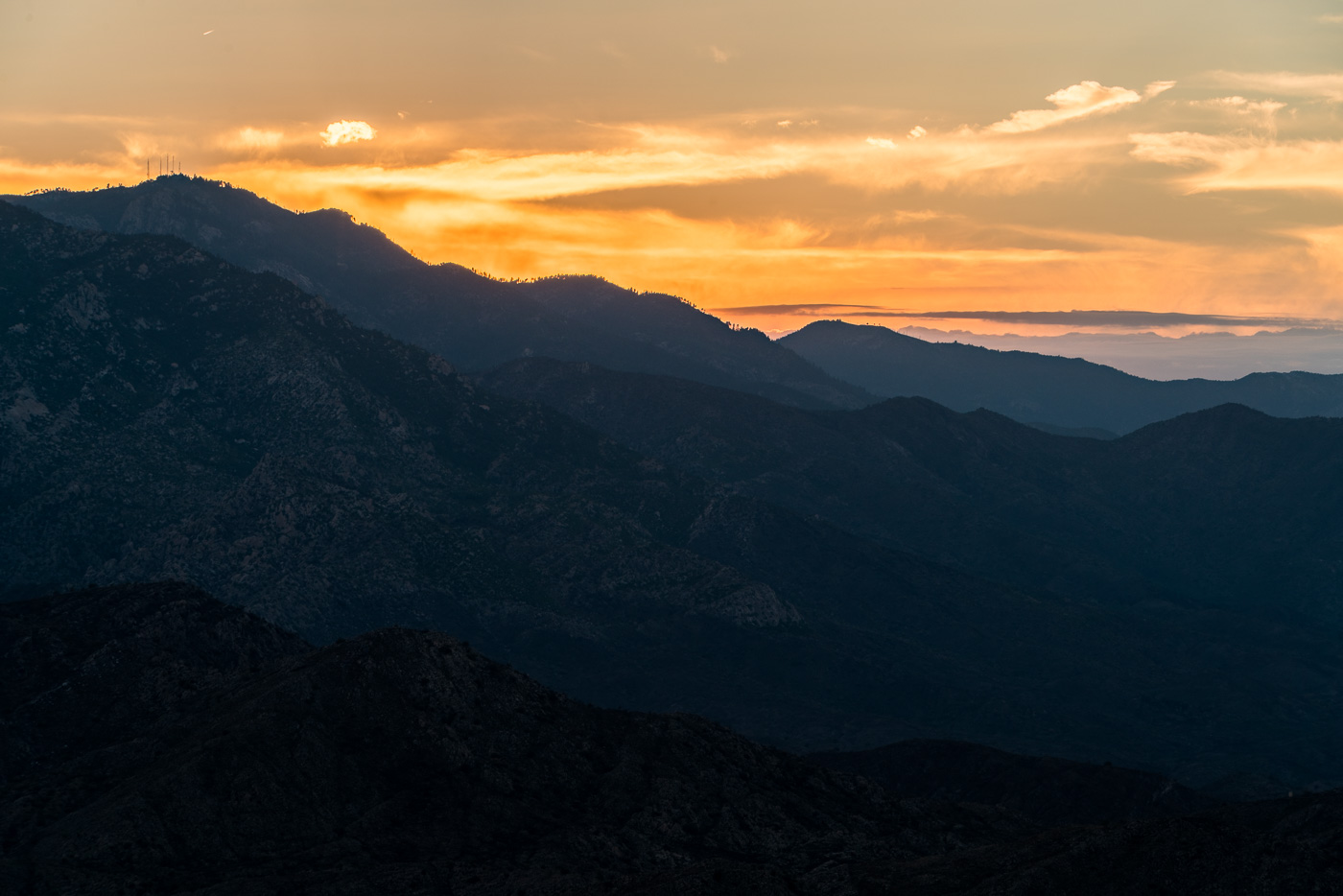
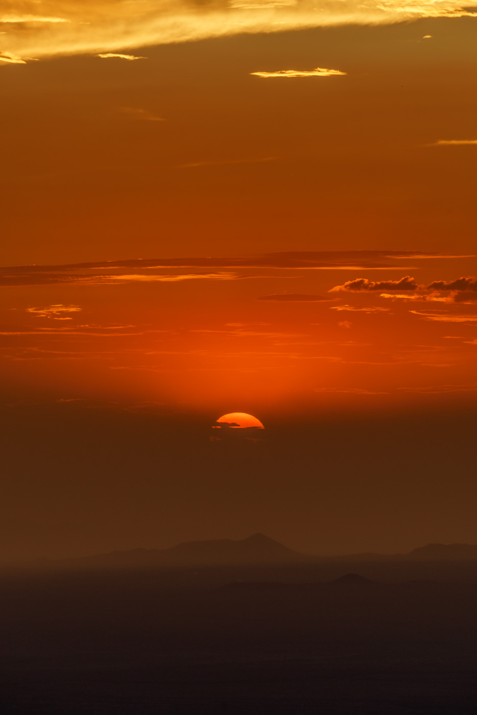
From the Lower Oracle Ridge Trailhead it is about 4 miles to get to the top of Apache Peak located on the north end of the Santa Catalina Mountains. Most of the miles are on the Oracle Ridge Trail which traverses below the peak, but there is no established trail for the final steep climb, and in my experience while you can pick better/worse ways to the top there probably is not a ‘great’ way up (the climb is not overly long but expect the standard rocky/loose/brushy off-trail Santa Catalina hillside…).
Sun disappearing behind the clouds at the end of the day on Apache Peak. July 2017.
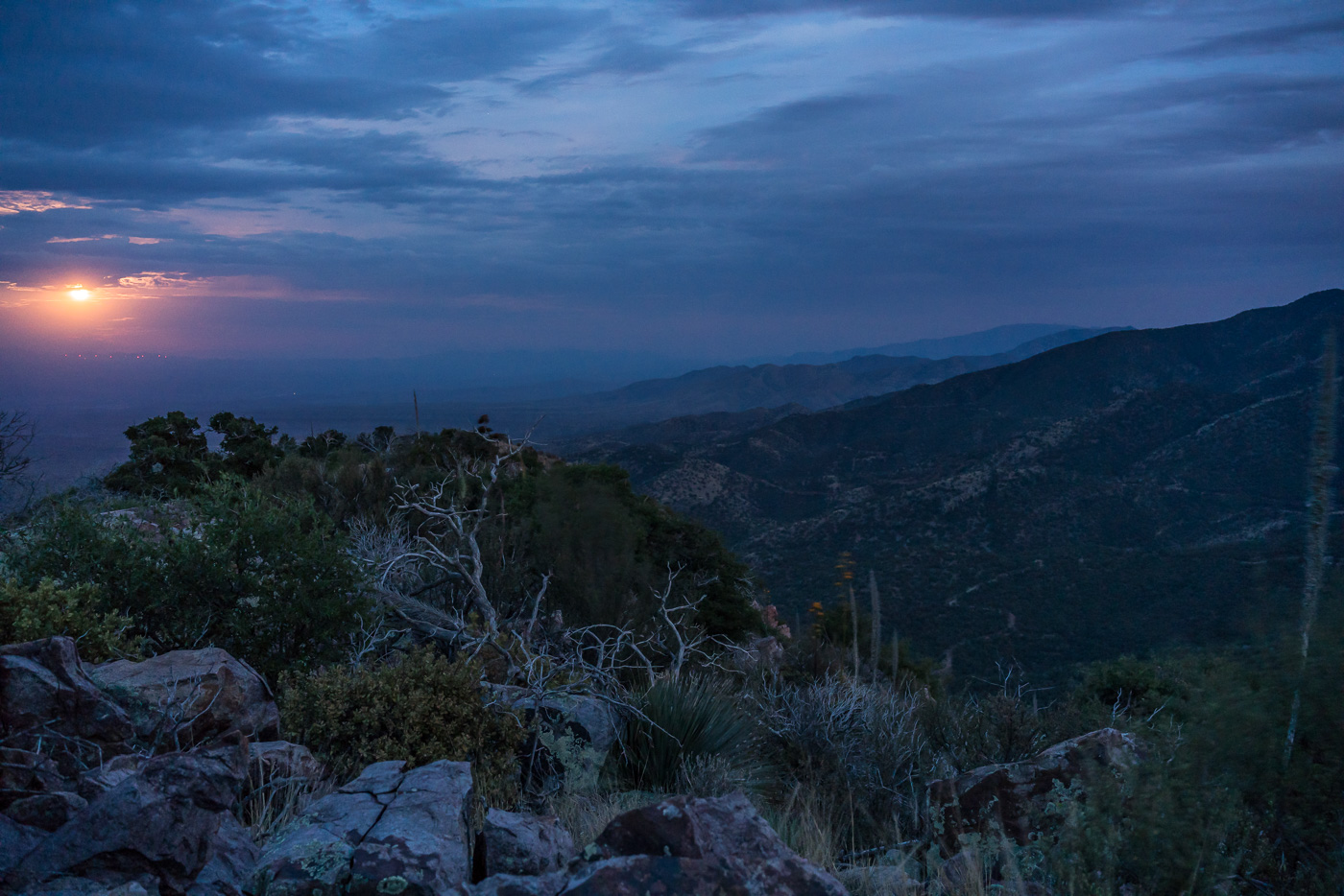
I arrive at the top just in time for the last light on the ridges to the south, the sun dipping below the clouds on the horizon, city lights coming on thru Charouleau Gap and the moon peaking thru the clouds as it rises over the San Pedro Valley – but tonight it is what I don’t see that is the surprise: no glow from the Burro Fire (currently at just over 27,000 acres), no spots of flame visible on the distant ridges and no obvious/large columns of smoke! The Burro Fire is burning to the south – Apache Peak certainly doesn’t have a view directly into the active part of the fire, but I suspect that the fire would have been clearly visible from here several days ago…
Watching the moon rise over the San Pedro Valley from Apache Peak. July 2017.
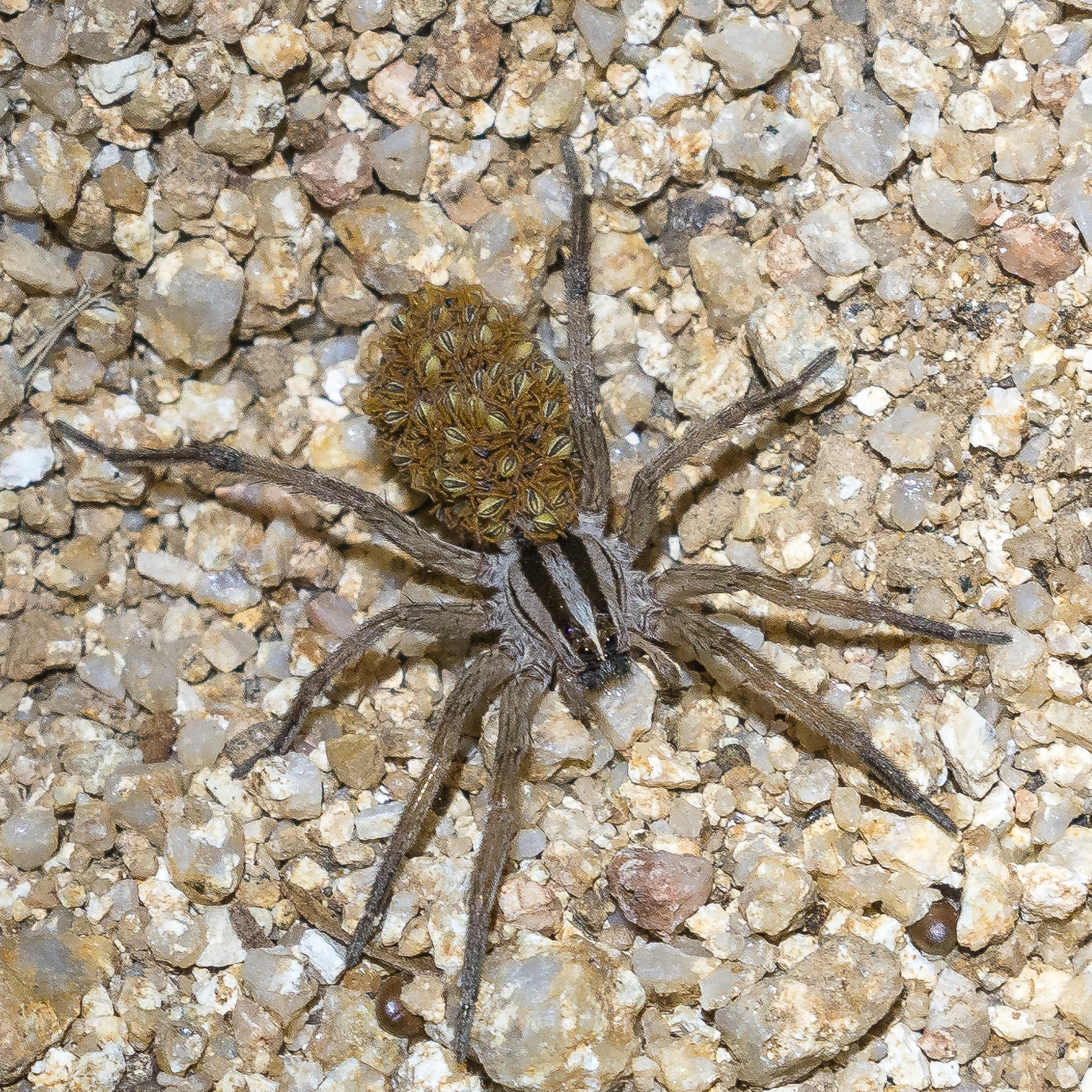
Clouds covering the moon make the hike back down surprisingly dark – spider eyes glint in the headlamp beam and when I finally slow down to look more closely it turns out to be many more spiders than I thought…
A spider – and many/mini spiders… On the Oracle Ridge Trail. July 2017.
Lower Sabino Canyon below the dam. May 2017.
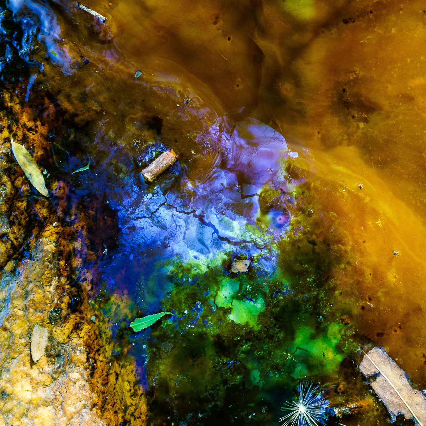
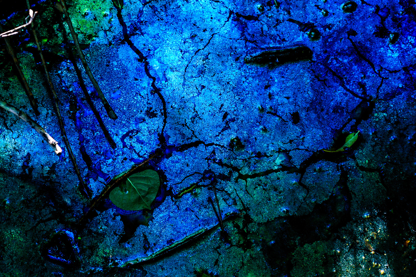
The dryness and early summer heat are having their way with Sabino Canyon – just below the dam the water’s movement is nearly imperceptible and in the still pools strange patterns and stresses emerge – it feels like the canyon and I are both longing for the refreshing July rains…
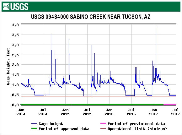
The Gauge at the Sabino Canyon Dam – July is usually reliable for weather and rain, but every year is different… July 2017.Lower Sabino Canyon below the dam. May 2017.Lower Sabino Canyon below the dam. May 2017.
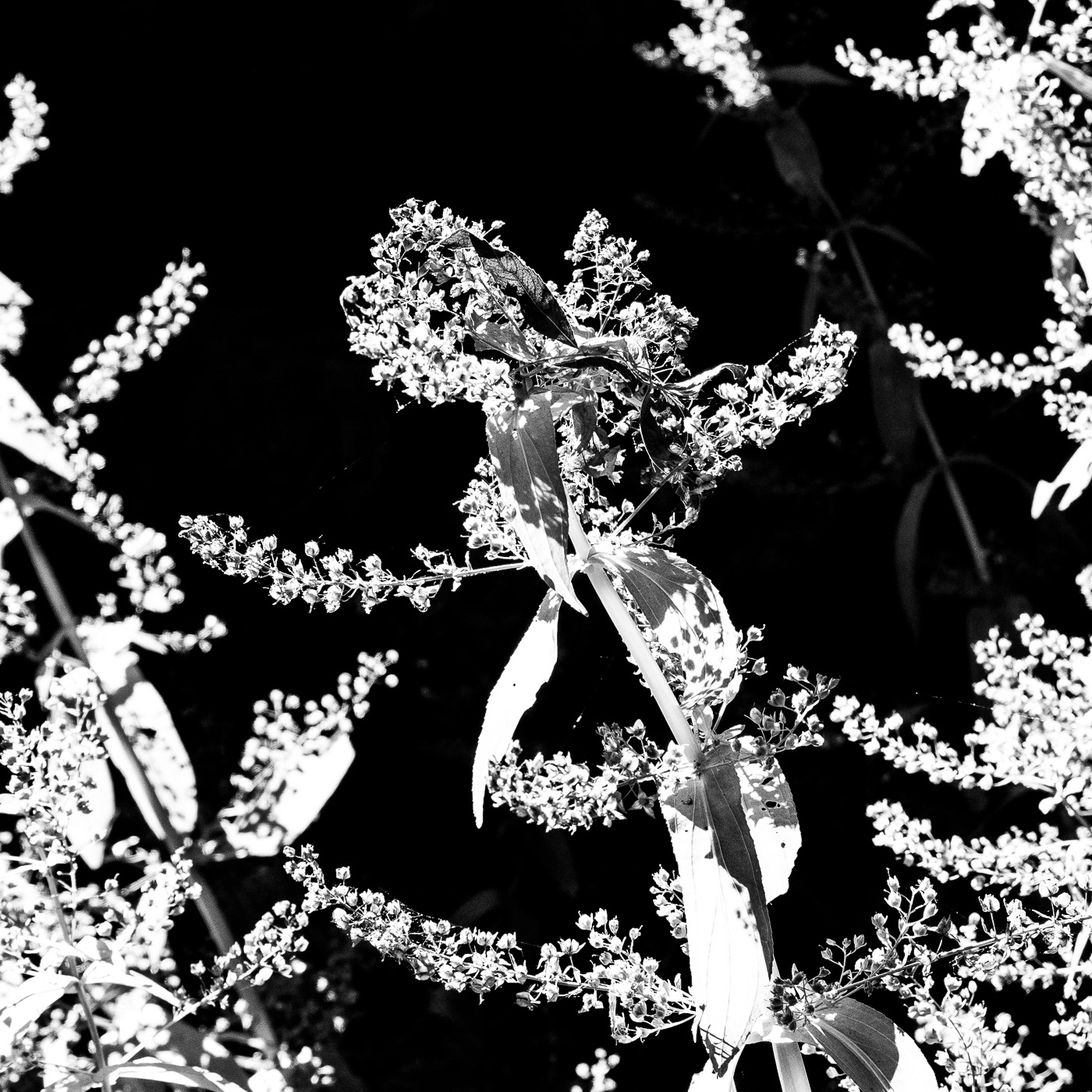
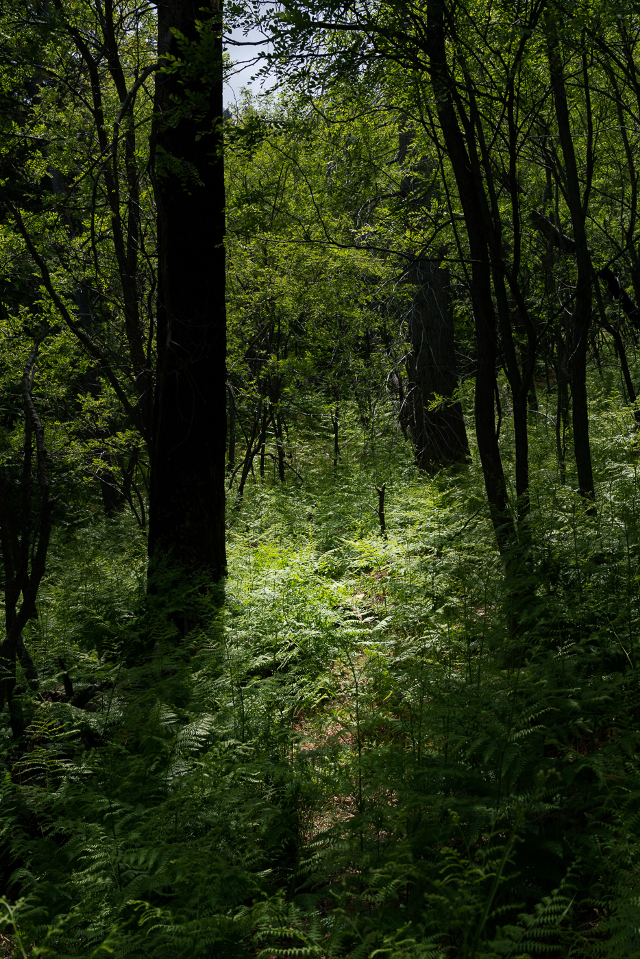
Light, shadows and green – Crystal Spring Trail. May 2017.
Pictures from a Control Road, Crystal Spring Trail and Butterfly Trail hike last month – even then the green plants were overwhelming the narrow track of the Crystal Spring Trail, I can’t wait to go back later in the summer and see what happens once the rain starts!
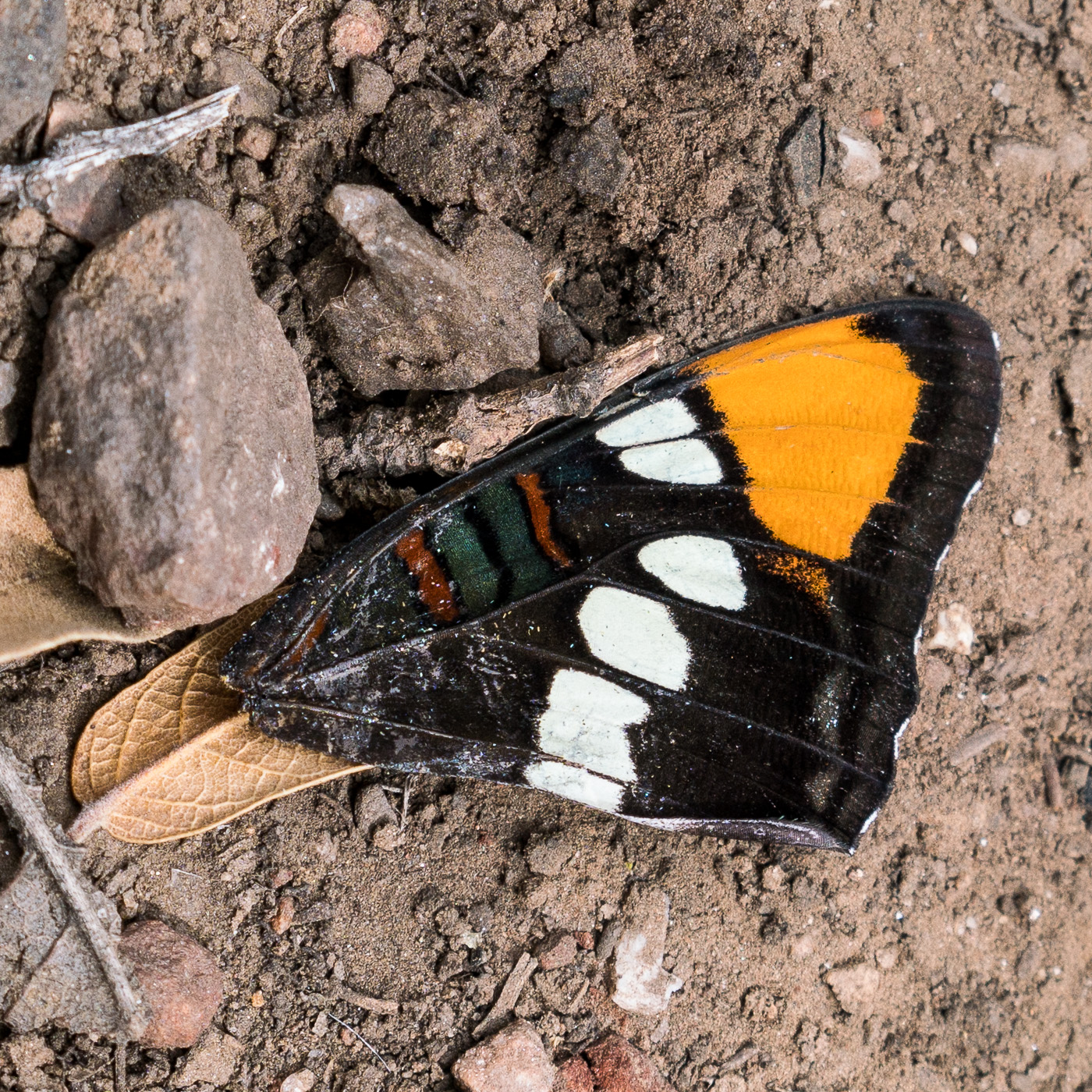
Fallen wing on the Crystal Spring Trail. May 2017.Looking down into Peck Basin and Edgar Canyon and across the San Pedro to the Galiuros from the Butterfly Trail. May 2017.Mount Bigelow and the Butterfly Wall from the Butterfly Trail. May 2017.
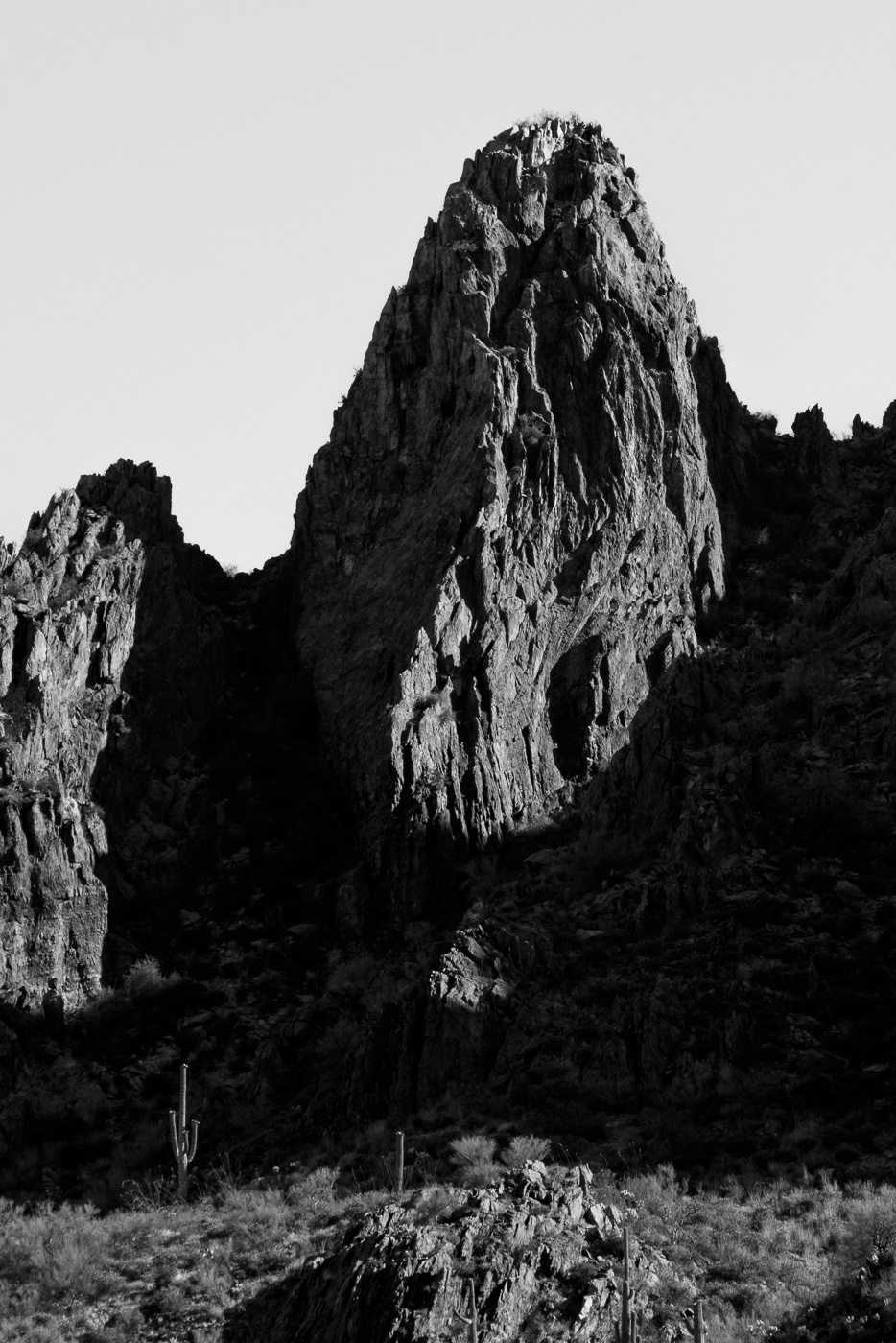
A fin of rock below Wolcott Peak in Ironwood Forest National Monument. May 2017.
Ironwood Forest National Monument preserves a beautiful piece of the Sonoran desert north west of the Santa Catalina Mountains. This site is focused on the Santa Catalina Mountains, which is already more than I could hope to cover and experience in my lifetime, but everything is connected…
I am not enough of a dreamer to visualize a map of Arizona with more than modest additions to our public lands, but in what what was clearly a bit of laughable optimism, I also never even considered a map where our public lands receive less protection.
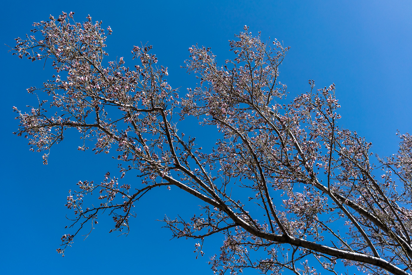
Ironwood flowers against a clear blue sky – from a hike around Wolcott Peak. May 2017.
Ironwood Forest National Monument is included in the Department of the Interior’s Review of Certain National Monuments Established Since 1996. I am disappointed with the government’s decision to conduct this review at all – but the inclusion of Ironwood National Monument is especially exasperating – the area is just so beautiful and important.
More convincing than any words I could write is a visit to the area – the Friends of Ironwood Forest National Monument have a ‘Visit’ section on their website that has useful information – it is a tough time of year for hiking in the desert but even just a drive into the area is a very very very worthwhile activity.
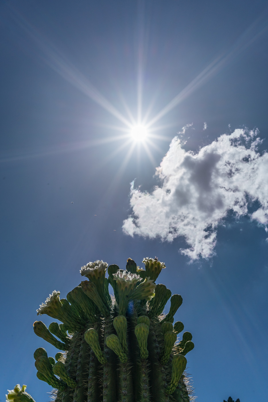
Sun and blooming Saguaro in Ironwood Forest National Monument. May 2017.
Comments on the review are open until 7/10/2017, please consider commenting – some links you might find interesting/helpful:
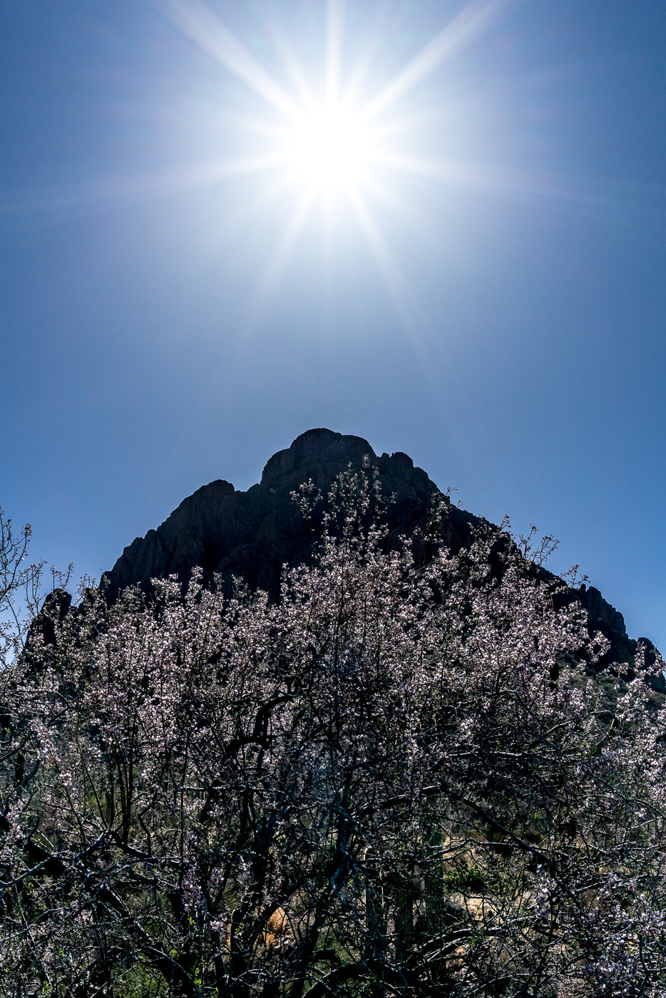
Sun, Ragged Top and a blooming Ironwood – near the parking for Ragged Top in Ironwood Forest National Monument. May 2017.
PS – The comment period closes 6/2/2017 on Proposed I-11 routes – I-11 could potentially put a major highway between Saguaro National Park and Ironwood Forest National Monument significantly, and I believe, negatively impacting the Avra Valley area – this short post from the Friends of Ironwood Forest National Monument is a very concise summary of the issues with links to more information.