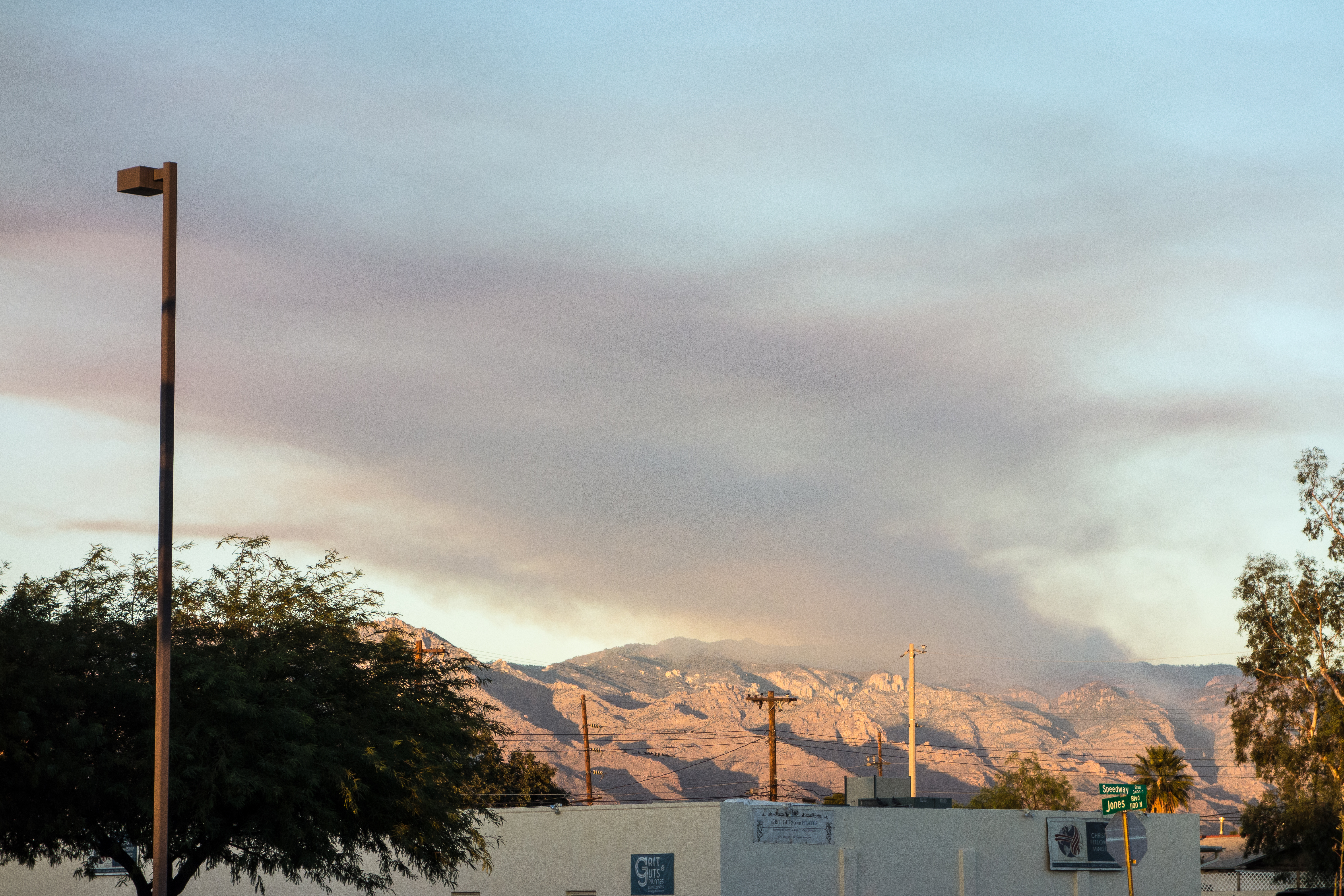
Smoke from the Bigelow Prescribed Burn – taken from Speedway Boulevard in Tucson. December 2016.
The Forest Service was careful to publish information about the Bigelow Prescribed Burn well in advance – but even so it was hard not to be alarmed by the impressive amount of smoke that the fire was producing, easily visible from Tucson it generated plenty of questions and it was hard not to wonder if the controlled burn had somehow gone awry…
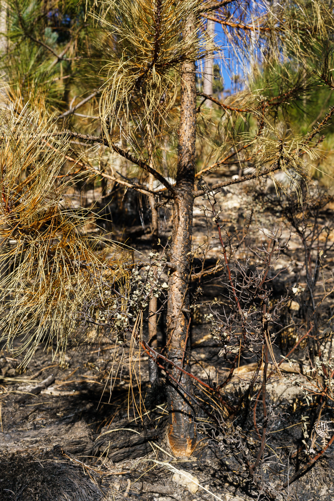
A small pine along the Bigelow Trail in the Bigelow Controlled Burn area – many of even the smaller pines still had green needles and appear to have survived the fire. December 2016.
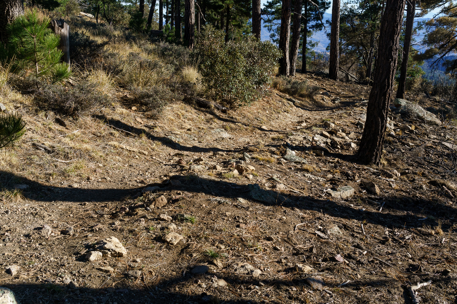
Hiking up the Bigelow Trail from the Bigelow Trailhead the impact of the fire was obvious – black ground, black tree trunks. I wasn’t until I reached the edge of the burn that I could really tell just how impressively effective the fire had been – fairly dense grass and shrubs cover the hill on one side / on the other the ground is remarkably clear.
Grass and shrub covered hillside on the left of the trail, burned – and cleared – ground on the right. December 2016.
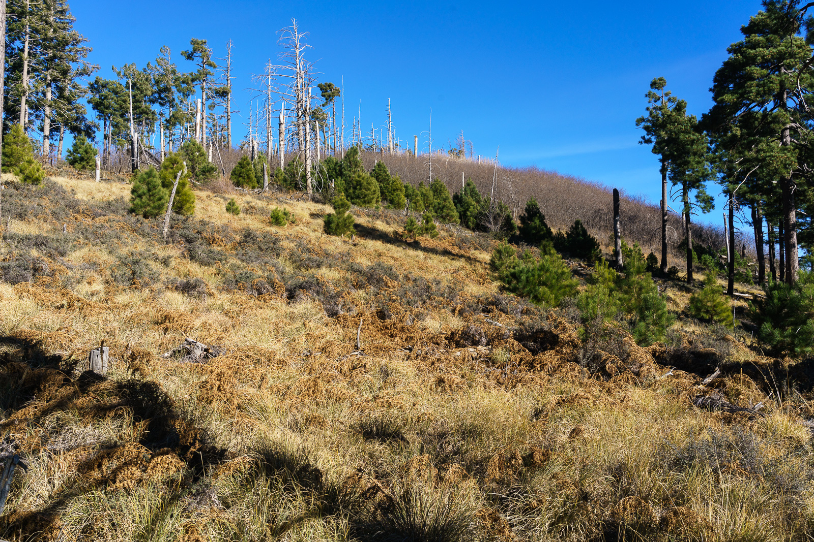
We visited Kellogg Mountain just before the controlled burn – I wondered what impact the fire might have on the impressive thicket of New Mexico Locust growing near the top – but near Kellogg the Bigelow Trail was the edge of the fire and Kellogg Mountain was untouched.
Looking up at Kellogg Mountain from the Bigelow Trail – Kellogg was untouched by the Bigelow Controlled Burn. December 2016.
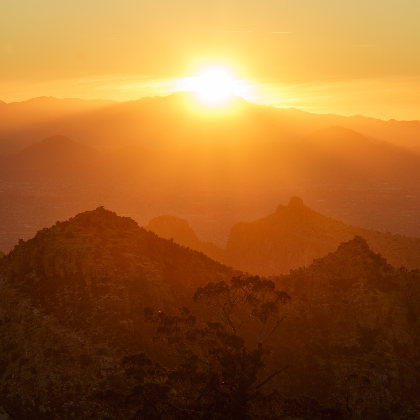
A brilliant sunset over Tucson from Point 6512 above Bear Canyon. December 2016.
The Bug Spring Trail from the Lower Green Mountain Trailhead provides an easy way to access ridge south of Bear Canyon – there are hints of a path on, or near, the top of the ridge, but only hints – if you follow the ridge for any distance you are bound to be pushing thru the brush and working around obstacles – you can continue past Point 6512, but it may be worth sitting, enjoying the ridge and waiting for the sunset…
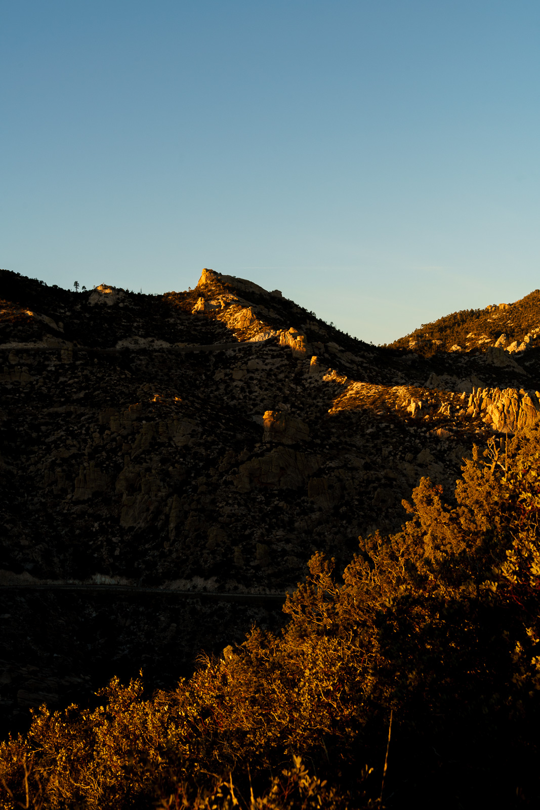
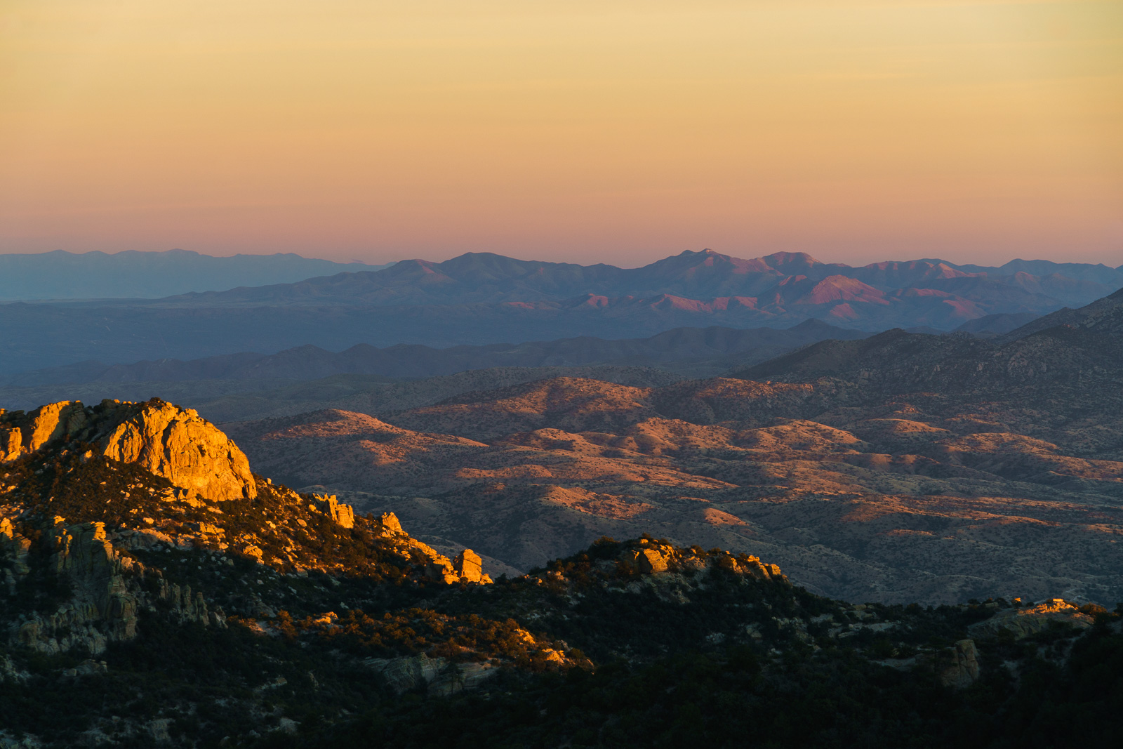
Point 6512 above Bear Canyon – track from the Lower Green Mountain Trailhead. December 2016.Looking across Bear Canyon to Lizard Rock. December 2016.Sunset light south of the Santa Catalina Mountains. December 2016.
Any history of mining has several inherent problems. For one thing the usual practice of relying upon relying upon contemporary or primary sources turns topsy-turvy. Such sources are often suspect, since mine owners and other interested parties deliberately sought to enhance the value of their properties, promoting them to raise capital for their development or to attract a purchaser.
[Doctor Scudder] had dreams of a chicken ranch. By looking in a Spanish dictionary, he came up with a name for the beautiful area. “Listen! Campo Bonito. Did you ever hear anything equal to that?”
Later Captain Burgess sold mining claims to the well known scout, William F. Cody, better known as Buffalo Bill. Cody’s fame was well earned, but not for his sound investiments. Perhaps Burgess knew this and took advantage of his old friend.
Camp Bonito never produced the fortune that Cody hoped for – not a unique, or even uncommon, story – this concise summary from Islands in the Desert (p.132) seems relevant:
another fact of frontier life, which was that profits were most commonly sought through buying and selling mining properties, rather than by developing them.
Freshly worked trail and a recently added sign on the Cody trail where a side trail splits off to the High Jinks Ranch. September 2016.
The High Jinks was another Cody mine that never produced the riches he had hoped for – the property, a National Historic Site, is located above Camp Bonito just off the Cody Trail, the route of the Arizona Trail – see the High Jinks Ranch for more information.
Looking back on the High Jinks area from the Cody Trail. September 2016.
Guthrie Mountain from Green Mountain. September 2016.
Views from Green Mountain – from San Pedro Vista the trail climbs to a saddle, from the saddle a set of loose/braided/unofficial half-paths climb first to a rocky overlook and then to the flat tree-covered summit of Green Mountain.
Looking down into Peck Basin from Green Mountain. September 2016.Airmen Peak (front right), Agua Caliente Hill (middle right), Mica Mountain (left back), Rincon Peak (center distant). September 2016.