FR4446 from Gnat Tank to the Private Land Boundary – 2/8/2015

1502 Old Road from Gnat Tank towards Roger Road
Following the ridge on FR4446 – on the ridge FR4446 is overgrown but easy to follow. February 2015.

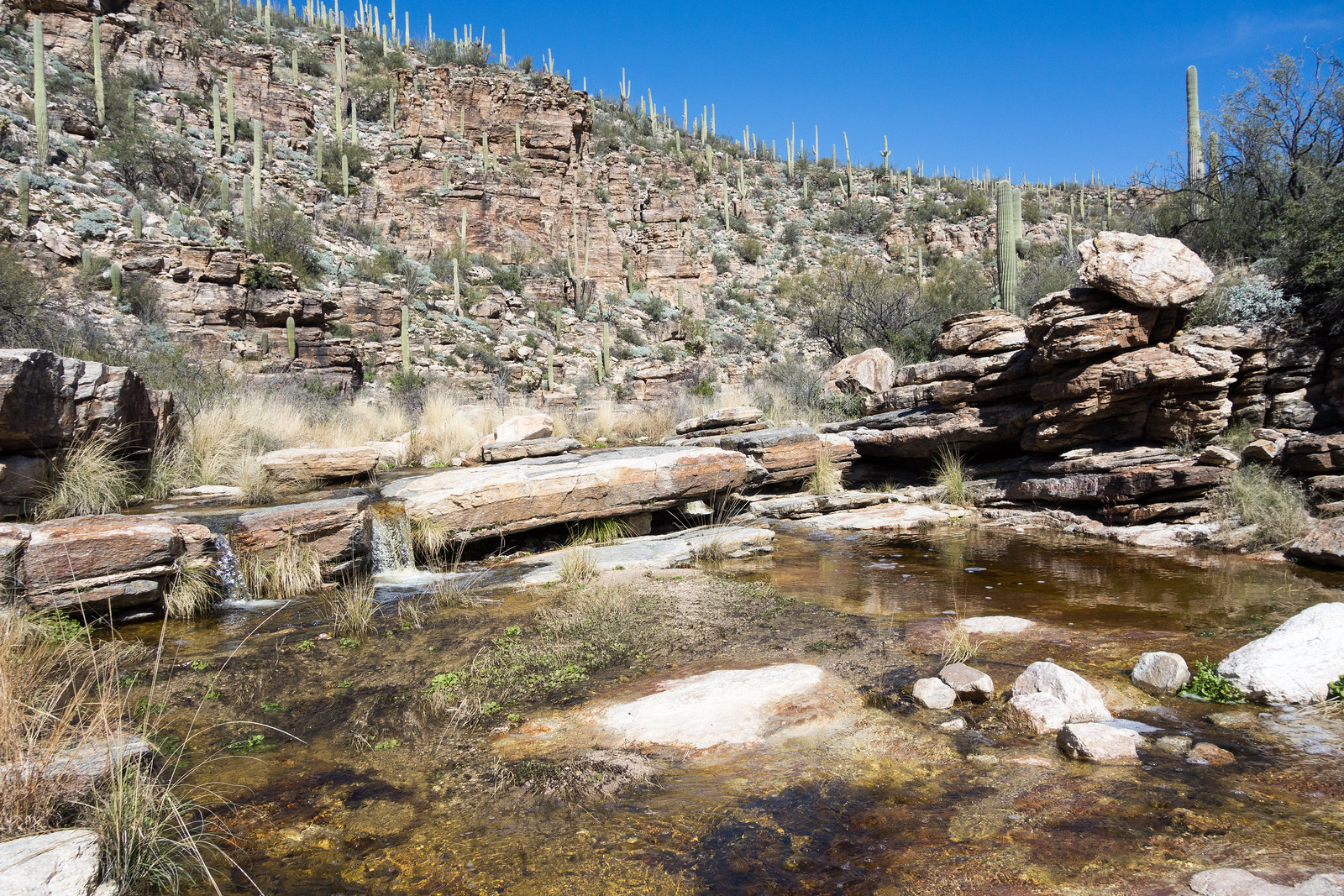
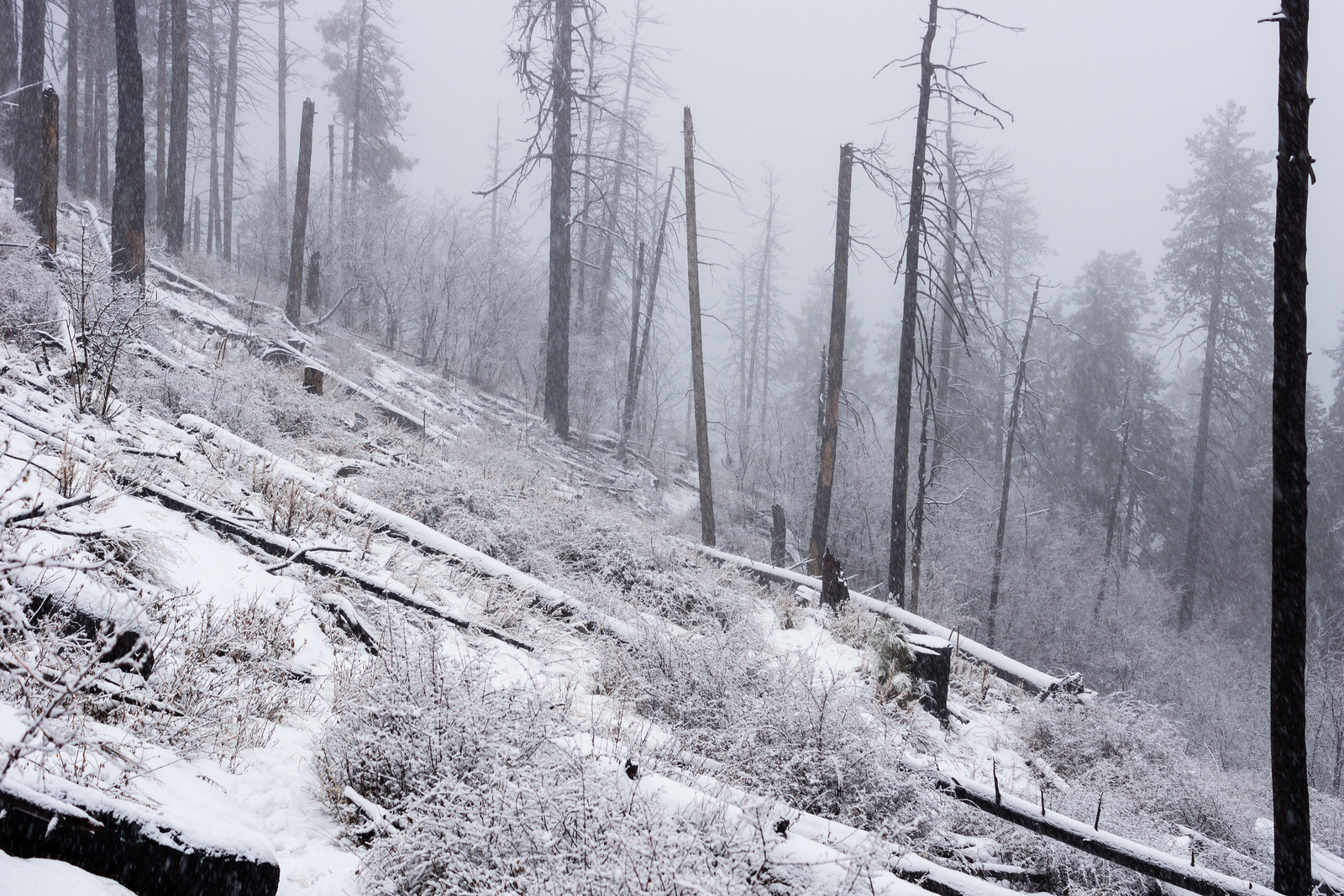
I have been past Gnat Tank a number of times and hadn’t ever noticed any trails other than the Agua Caliente Canyon Trail in the area, but maps and aerial photography clearly show Forest Road 4446 breaking off from the Agua Caliente Canyon Trail at Gnat Tank…

This time, knowing the trail exists, I find it easily enough on the west side of the tank. Hardly a road at this point the faint trail works up the hill to a shallow saddle – recent horse tracks and cairns hidden in the grass help me find the way.

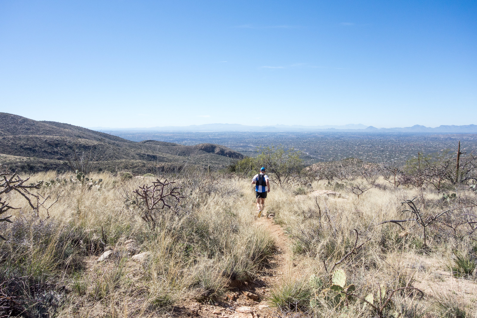
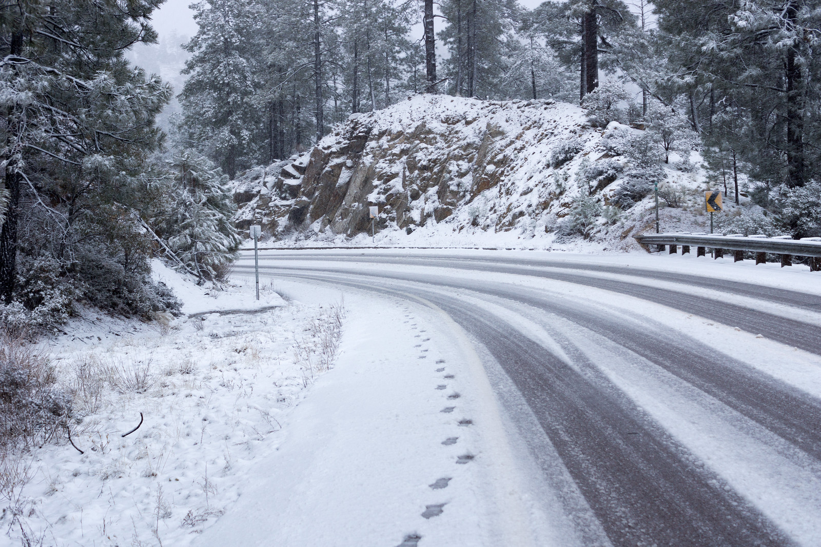
At the saddle I have to wander around and consult the GPS to get on the right track – after a few minutes the old road emerges from the grass, easy to follow as it rambles down the ridge.

Map of FR4446 from Gnat Tank to the private land boundary.
FR4446 in red from Gnat Tank to the Forest Land/Private Land boundary – there is no legal access to Roger Road from this point. The La Milagrosa and Agua Caliente Canyon Trail Loop is shown in black. FSTopo map.
1502 Looking towards Agua Caliente Hill
Looking towards the Agua Caliente Hill trail from FR 4446 – Cat Track Tank is above the prominent Saguaro in the foreground, False Hope Hill and Agua Caliente Hill in the background on the left. February 2015.

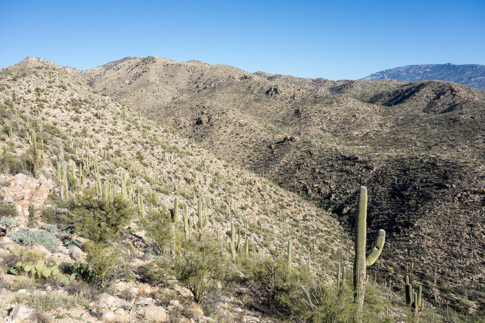
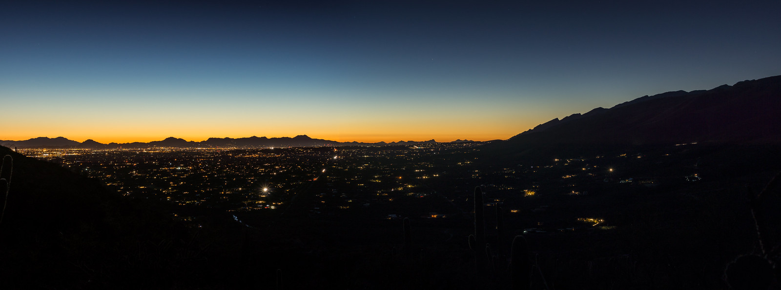
The views are great from the ridge – on one side La Milagrosa and Agua Caliente Canyons, on the other side views of the Agua Caliente Hill Trail, False Hope Hill above and Tucson below.

1502 Old Boundary Line
FR4446 continues across the fence into private land – there is currently no legal access into this area from Roger Road. February 2015.

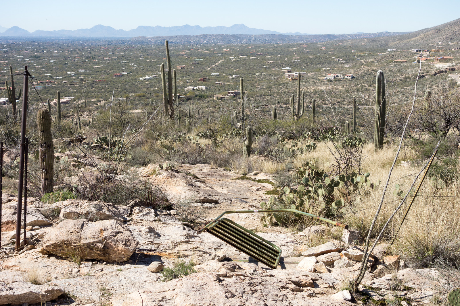
The trail descends towards the Roger Road – but at the moment there is no legal way to connect to Roger Road, private land blocks the way. The access issues in this area date back quite a few years – a quick search turns up this 1996 article – County takes first steps for access to trail, Tucson Citizen, Jennifer Katleman – and Roger Road access is listed in the project list of the 2012 Pima Regional Trail System Master Plan (p. 194). The Pima County Natural Resources, Parks and Recreation Department confirmed that while there is no current anticipated completion date they are looking for opportunities to complete this project. (This is a good opportunity to mention the Pima Trails Association, the current tag line on their website is “Protecting and preserving Pima County trails since 1987” – an important organization to support if you are concerned about trail access in Pima County!)

1502 Abandoned Wire
Barbed wire laying beside FR4446. February 2015.

Avenida de Suzenu Trailhead, Gnat Tank, Private Land Boundary – out and back – 8 miles, 2000′ of elevation gain and loss.

Gnat Tank – 2/7/2015

From the Avenida de Suzenu Trailhead we walk along Horsehead Road and across Molino Canyon (flowing!), pass below the abandoned house, hop rocks crossing Agua Caliente Wash and continue on the Agua Caliente Canyon Trail up up up to Gnat Tank.

We find a nice spot below the tank and watch the sun move lower in the sky – too soon it is time to head back down into the city…

1502 Sun on FR4446
Taking a break below Gnat Tank. February 2015.
1502 Descending into Agua Caliente Wash
Tucson city lights from the Agua Caliente Canyon Trail. February 2015.
1502 Red Spotted Toad
Red Spotted Toad near Agua Caliente Wash. February 2015.


5.9 miles, 1200′ of elevation gain and loss.

Prison Camp to Avenida de Suzenu – Molino Basin, Bellota and La Milagrosa Trails – 2/4/2015

1502 Headed down into Tucson
On the ridge between the La Milagrosa and Agua Caliente Canyons. February 2015.
1502 Crossing Milagrosa Canyon
Crossing La Milagrosa Canyon – we kept our feet dry here but they got wet in the crossing close to the road! February 2015.
1502 Gate Down on the Milagrosa Trail
The gate – recently fallen. February 2015.

10am at the Gordon Hirabayashi Recreation Site and there was no need for a jacket – February and it feels like spring!

We descended to the Avenida de Suzenu Trailhead via the Molino Basin Trail, Bellota Trail and La Milagrosa Trail – sun, blue sky and water in all the canyons. 10.6 miles, +1100’/-3100′ of elevation gain/loss.

Lambs, Funds, Star Party, Oracle State Park, Winter Weather

The Bighorn Sheep Restoration Project Status update for 1/15 to 1/28 is now available (all updates are currently available here):

  • Five lambs have been sited! The update links to a video of several of the previously sited lambs: Bighorn lambs & ewes in Santa Catalinas.
  • Residents in the area of Ina Road and 1st Avenue reported 3 Bighorn to AZGF. GPS data confirms that these Bighorn have moved into the edge of the urban area bordering the Pusch Ridge Wilderness several times and also notes several other urban sightings: a Ram was seen several times last year by Oracle Residents and two ewes documented in the Ventana Canyon and Finger Rock Estates areas. “Our intent is to encourage the Catalina bighorn sheep to use appropriate habitat removed from the urban interface and hope that incursions into urban areas will be rare if at all.”
  • The report breaks has some information on the funding sources for this project:
    • 31% State Tag Funds
    • 23% Private Grants and Donations with most of the donations “from sportsmen oriented groups and individuals” including large donations by the Arizona Chapter of Safari Club International, the Wild Sheep Foundation, the Arizona Desert Bighorn Sheep Society and Safari Club International Foundation.
    • 46% From the Pittman-Robertson fund – this is a federal excise tax on firearms, ammunition, accessories and achery equipment that provides funds to manage wildlife.

Catalina State Park will host a Star Party on Feb. 21 from 6:30pm to 9:30pm – the event will start with a presentation by Jim O’Connor with excerpts from his book, Native American Night Sky Stories, and there will be a variety of telescopes at the event. See the Arizona Star Party Astronomy Events page for more details and for other dates at throughout the year at Arizona State Parks!

Arizona hike: Oracle State Park – azcentral.com – Mare Czinar: A short article about the hiking in Oracle State Park – the days that the park are open to the public are limited (currently Saturday and Sunday 8am to 5pm) but it is well worth finding an open day to visit!

Winter weather! There was rain and snow that temporarily closed the highway and caused 3 hikers to be stranded due to rushing water in the Sabino Canyon Area. Winter weather closes highway up Mt. Lemmon – Carissa Planalp – TucsonNewsNow.com, Snow in mountains, rain in Tucson valley expected – tucson.com, Three hikers stranded because of rushing waters – Ina Ronquillo – KGUN9.

Knagge Trail to the Cabin, Snow – 1/31/2015

Lower on the highway everything was wet – Seven Cataracts is roaring and all the usual road-cut waterfalls flowing – but somewhere around Barnum Rock the rain turned to big wet snow flakes!

1501 Driving Snow
Snow! Driving up the General Hitchcock Highway. January 2015.

The snow seems like a surprise after the rain – but it has been snowing long enough to cover Incinerator Ridge Road and put snow on the Incinerator Ridge Trail – a frozen sign greets me at the start of the Knagge Trail.

1501 Junction of the Knagge and Kellogg Mountain Trails
The upper Knagge Trail sign covered in snow. January 2014.

Clouds cover the mountain and snow covers the trail – there aren’t any footsteps to follow today but finding the trail isn’t a problem. I start to wonder about snow collecting on the highway – but surely there is time to make it to the old cabin site…

1501 Old Fire New Snow
Snow along a fire-cleared section of the Knagge Trail. January 2015.
1501 Into the Storm
Disappearing into the storm. January 2015.

The snow has turned to rain by the time I finish the hike down to the cabin – out of time I head back up into the snow.

1501 Walking up the highway
Snow on the highway – walking back up to the parking pullout above Incinerator Ridge Road. January 2015.

2.5 Miles, +/- 1100′ of elevation gain and loss.