2 Ranges, Kannally, Miraval, Horses, Lambs

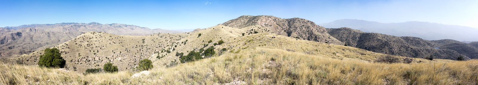
Move Across 2 Ranges is a great event that challenges people to get out on the trails and complete one of several trail challenges that cover between 5 to 21.5 miles on trails in both the Santa Catalina Mountains and the Tortolita Mountains! The 2015 event will on held on Saturday, Feb. 28. Packet pickup and food and drinks after the event will be at Summit Hut‘s Oro Valley location.

Kannally family left lasting legacy in Oracle – Gabrielle Fimbres – Arizona Daily Star: An interesting article about the Kannally family who came to Arizona in the early 1900s and eventually owned 50,000 acres – part of which is now Oracle State Park.

Miraval Spring Hiking Week, March 23-28: Starting on March 23rd Miraval has scheduled a series of hikes for their guests that include Window Rock, Prison Camp to Bear Canyon, Catalina State Park to the top of Mount Lemmon and a Finger Rock to Mount Kimball hike.

2 riders hurt when horse rolls onto them – Carmen Duarte – Arizona Daily Star: Two riders were injured in Catalina State Park in a horse riding accident.

The most recent Bighorn Sheep Restoration Project Status update reports that there have been nine confirmed lambs in the Santa Catalina Mountains and has links to three videos of the Bighorn on Youtube: IMG 0410IMG_0425, IMG_0429.

Pontatoc Canyon Sunset – 2/21/2015

1502 Evening Sky
Beautiful clouds at the end of the day from Pontatoc Canyon. February 2015.
1502 Sunset from Pontatoc Canyon
Sunset on the Pontatoc Canyon Trail, looking down canyon into Tucson. February 2015.

A short walk on the Pontatoc Canyon Trail to the second crossing of Pontatoc Canyon – 3 miles, +/- 700′.

Wilderness of Rocks and Mount Lemmon Trail – 2/19/2015

1502 Looking down to Romero Pass
Looking down on Romero Pass from the Mount Lemmon Trail – Table Mountain in the background. February 2015.

I recently volunteered to help a with a AZGF Bighorn Sheep research project and have a number of points in the Romero Pass area to visit – today was my first time out, I was slow collecting the vegetation survey information but did manage to get a few points done – and it was a great reason to visit this area! Wilderness of Rocks and then Mount Lemmon Trail towards Romero Pass – 15.9 miles, +/- 3800′.

1502 Lotus above Romero Pass
A Lotus above Romero Pass on the Mount Lemmon Trail. February 2014.

Pontatoc Canyon – 2/14/2015

A bit of rockfall near the first Pontatoc Canyon crossing, Fairy Dusters signal spring and the evening sky – a short stroll on the Pontatoc Canyon Trail.

1502 Rockfall on the Pontatoc Trail near Pontatoc Canyon
Rockfall on the Pontatoc Trail just after the first Pontatoc Canyon crossing – the trail is ever so slightly different here… February 2015.
1502 Fairy Duster and Butterfly
Fairy Duster and Butterfly. February 2015.
1502 Sky from Pontatoc Canyon
Evening sky from Pontatoc Canyon. February 2015.


Agua Caliente Hill Trail and Ridge Loop – 2/12/2015

1502 Cat Track Tank
Cat Track Tank with water from the recent winter storms. February 2015.

Its sunny and windy, no sign of the rain that filled Cat Track Tank and many of the smaller drainages – I follow the Agua Caliente Hill Trail past the junction with FR4445, under False Hope Hill, across the grassy hillsides and up to the top.

At the top – a quick note in the summit register, a few moments pondering the short/sad/beautiful note above mine and a brief but careful consultation of the map and GPS before leaving the trail and plunging down the ridge to the west towards towards Cat Track Tank.

1502 Weathertop to Tuffet Tank
Off-trail on the ridge west of Agua Caliente Hill (center) with a view stretching from Weathertop (left) to Tuffet Tank (right). February 2015.

Capturing the view from Weathertop to Tuffet Tank takes multiple photos – stitched together they document the view, but fall far short of capturing the joy of being out on the ridge. The map shows a trail from the ridge to Cat Track Tank, I find it and try to follow the fading track.

1502 Grass and Tree
Grass and tree on the ridge – the windy day reduced visibility and looking towards the Tucson Mountains the sky was white with dust. February 2015.

As the trail descends off ridge it disappears and the Cat’s Claw closes in – eventually I abandon trying to find the trail and cut down to the Agua Caliente Hill Trail to finish the day.

9.2 miles, +/- 3000′ of elevation gain and loss.