Buehman Canyon – 2/12/2017

February 2017.
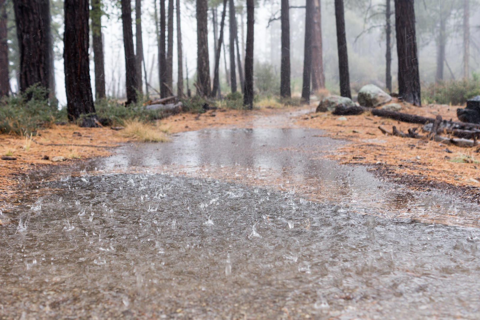
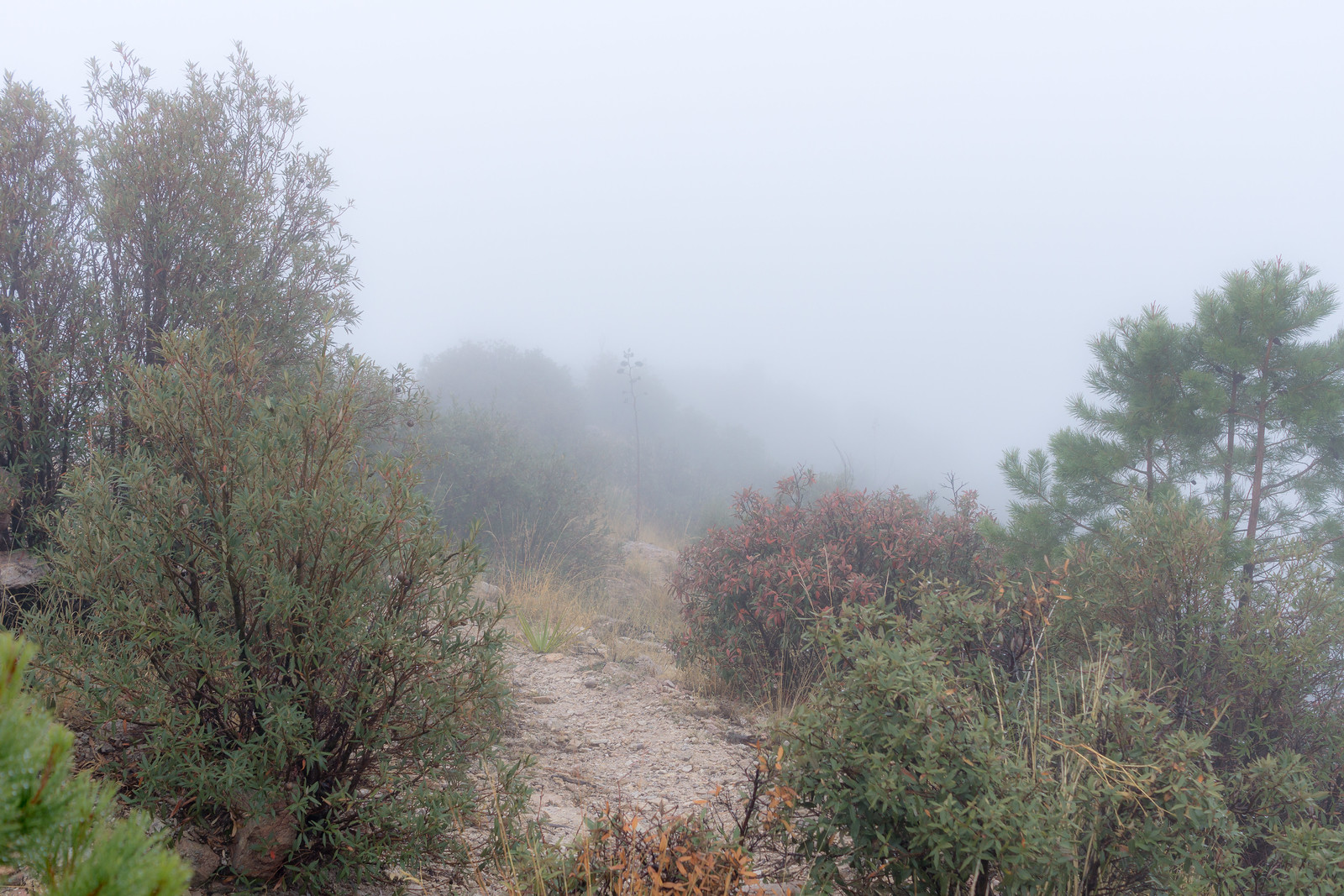
Exiting Buehman Canyon in a storm. February 2017.

The rain is making streaks across my photos – I am half way up a small side canyon finishing a too-short loop in Buehman Canyon. Often I would welcome the weather – but today, parked on a dirt road I barely know and in a section of canyon I have never visited before, an early exit due to the weather seems like a smart decision and, reluctantly, I continue upwards.

February 2017.
Beautiful light on the Evans Mountain area from FR4407 – Brush Corral Road. February 2017.

Rather than the the traditional entrance to Buehman Canyon I started on Brush Corral Road – FR4407 – near Pink Tank. From here there are beautiful views of the Evans Mountain area – it is an easy walk to the edge of Buehman Canyon and stunning views of the canyon below.

February 2017.
Looking down into Buehman Canyon. February 2017.

The descent down a small drainage into the canyon is steep and unremarkable – but the bottom of the canyon is amazing! Interesting rock walls, carved water ways, flowing water, gorgeous colors – the first drops of rain signal an end too my visit much too quickly…

February 2017.
Buehman Canyon. February 2017.

Pima County owns and protects much of the bottom of the canyon east of the forest boundary – the land was donated to The Nature Conservancy in 1996 and in 2011 was transferred to Pima County (who owns the nearby A7 and Six Bar ranches). In the last few miles down to the San Pedro River the canyon becomes a mix of Arizona State Trust Land and private land.

Buehman Canyon is named for Henry Buehman. Henry Buehman was born in Bremen, Germany, in 1851 and before setting off for the US in 1868 he spent 3 years as a photographer’s apprentice. After a short stay in New York Buehman traveled to California where he worked as a photographer for 4 years before selling his business in Visalia to fund mining ventures in Califonia, Utah and Nevada.

After becoming an American citizen Buehman crossed into in Arizona at Stone’s Ferry and equipped himself for a trip into Mexico in Prescott – but in Tucson he ended his journey and soon began working as a photoghaper and dentist.

Buehman made potraits, photographed events and traveled Southern Arizona creating photographs. His studio and photographic business were successful and he purchased 150 acres west of Redington and established a ranch. He lost the ranch after droughts in 1895 and 1896.

In addition to photography Buehman held a number of offices in Pima County and Tucson beginning in 1882 when he was elected as Public Administrator of Pima County and culminating with two consecutive terms as Mayor from 1895 to 1899.

Henry Buehman died in 1912 – but Buehman Studio continued to be run by Henry’s son Albert and grandson Remick. The studio closed in 1950 and in 1967 the Arizona Historical Society purchased the collection. The photos are available for the public to view thru the Arizona Historical Society and are featured in The Buehman Studio, Tucson in Focus.

2017 – 1/1/2017

January 2017.
Light and clouds on the Mountains north of Catalina State Park. January 2017.

Dark pictures, but a happy start to 2017 – what a joy to be outside watching clouds hide and reveal the peaks in the Santa Catalina Mountains – eventually the flat grey of the rain is all around us and, with a smile, we make the short hike out.

Thank you to everyone who visited this site in 2016 – I hope you found it inspiring, useful and informative – I am looking forward to adding more posts and content in 2017!!!

January 2017.
The Cleaver. January 2017.
January 2017.
Rain slowly covering the Santa Catalina Mountains. January 2017.

Winter Storm, Pusch Peak – 12/12/2015

A line of rain, hail and snow moving towards the mountain. December 2015.
Winter storm on the route up to Pusch Peak. December 2015.
In the clouds on Pusch Peak. December 2015.
Light thru the clouds from the overlook off the Pusch Peak route. December 2015.

We watched clouds swirl across the mountain peaks in the AM before we started – but Pusch Peak was clear and it looked like a great place to watch the storm… It didn’t take long for the storm to catch us though, waves of precipitation rolled towards and over us, rain first – then hail – then snow, when we reached the peak it had been eaten by the clouds – too cold to linger we started back down.

The Santa Catalina Mountains had several days of winter storm – while the links below are now ‘old’ a number of them have interesting pictures – some showing the snow on the mountain!

Lambs, Funds, Star Party, Oracle State Park, Winter Weather

The Bighorn Sheep Restoration Project Status update for 1/15 to 1/28 is now available (all updates are currently available here):

  • Five lambs have been sited! The update links to a video of several of the previously sited lambs: Bighorn lambs & ewes in Santa Catalinas.
  • Residents in the area of Ina Road and 1st Avenue reported 3 Bighorn to AZGF. GPS data confirms that these Bighorn have moved into the edge of the urban area bordering the Pusch Ridge Wilderness several times and also notes several other urban sightings: a Ram was seen several times last year by Oracle Residents and two ewes documented in the Ventana Canyon and Finger Rock Estates areas. “Our intent is to encourage the Catalina bighorn sheep to use appropriate habitat removed from the urban interface and hope that incursions into urban areas will be rare if at all.”
  • The report breaks has some information on the funding sources for this project:
    • 31% State Tag Funds
    • 23% Private Grants and Donations with most of the donations “from sportsmen oriented groups and individuals” including large donations by the Arizona Chapter of Safari Club International, the Wild Sheep Foundation, the Arizona Desert Bighorn Sheep Society and Safari Club International Foundation.
    • 46% From the Pittman-Robertson fund – this is a federal excise tax on firearms, ammunition, accessories and achery equipment that provides funds to manage wildlife.

Catalina State Park will host a Star Party on Feb. 21 from 6:30pm to 9:30pm – the event will start with a presentation by Jim O’Connor with excerpts from his book, Native American Night Sky Stories, and there will be a variety of telescopes at the event. See the Arizona Star Party Astronomy Events page for more details and for other dates at throughout the year at Arizona State Parks!

Arizona hike: Oracle State Park – azcentral.com – Mare Czinar: A short article about the hiking in Oracle State Park – the days that the park are open to the public are limited (currently Saturday and Sunday 8am to 5pm) but it is well worth finding an open day to visit!

Winter weather! There was rain and snow that temporarily closed the highway and caused 3 hikers to be stranded due to rushing water in the Sabino Canyon Area. Winter weather closes highway up Mt. Lemmon – Carissa Planalp – TucsonNewsNow.com, Snow in mountains, rain in Tucson valley expected – tucson.com, Three hikers stranded because of rushing waters – Ina Ronquillo – KGUN9.

Box Camp to Sabino Canyon – 12/13/2014

1412 Rain on the Box Camp Trail
Rain on the Box Camp Trail. December 2014.

The rain turned to sleet sometime after we passed Ski Valley, the drive up had been slightly faster than usual on the empty highway, when we got out of the car at the top of the mountain the area was a wet mess – no winter wonderland, just frozen slush – a change of plans and down…

The clouds were just as solid at the Box Camp Trailhead – but the water falling from the sky was not nearly as frozen. As my ride pulls away the cold makes me shiver, no where to go now but up the trail.

1412 Ridge Disapearing into the Clouds on the Box Camp Trail
On the Box Camp Trail – for an hour all I saw was the trail under my feet and the ridge twisting into the clouds… December 2014.

Lower on the trail, normally home to vast views, I spend a dreamlike hour alternating between watching the loose trail under my feet and the ridge twisting away into the clouds.

1412 Storm from the Box Camp Trail
On the left you can see the saddle where the Sycamore, Bear Canyon and East Fork Trails meet, a bit to the right the East Fork Trail is barely visible as it switchbacks down to the canyon. December 2014.

The grass is heavy with rain and the trail occasionally obscure – lower still the clouds break and views of Palisade Canyon, Sabino Canyon and the East Fork trail emerge. By the time I arrive at the end of the Phoneline Trail the rain is gone – I pull off my shell and head down the empty trail towards the city. Box Camp Trailhead to the Sabino Canyon Visitor Center, 12.8 miles, +680’/-5800′ of elevation gain/loss.

1412 Clouds over the Santa Catalina Mountains from Sabino Canyon
Storm – from Sabino Canyon. December 2014.