Views from Barnum Rock and Leopold Point, News – 5/19/2016

Saguaro just off the General Hitchcock Highway. May 2016.

The drive up to San Pedro Vista was slightly slower than normal – both because I couldn’t resist stopping and photographing Saguaros near the highway and because a film crew was set up at Windy Point filling part of the parking lot with trailers and vehicles and occasionally stopping traffic. I didn’t see what they were filming – but the motorcycles in a pop-up tent and drone hovering off the side of the highway on my way down did make me a bit curious…

From Barnum Rock: Green Mountain - center, Guthrie Mountain - left, San Pedro Vista - lower left, Mica Mountain in the Rincon Mountains - right. May 2016.
From Barnum Rock: Green Mountain – center, Guthrie Mountain – left, San Pedro Vista – lower left, Mica Mountain in the Rincon Mountains – right. May 2016.

From San Pedro Vista I intended to take the Incinerator Ridge Trail and Kellogg Trail up to Mount Bigelow – my idea was a good workout with great views – but the views quickly won out over the workout – I sat on the top of Barnum Rock and watched the sun and clouds create shapes of light and shadow on Green and Guthrie Mountains and then admired Kellogg Mountain, Mount Bigelow and the San Pedro Valley from Leopold Point.

Kellogg Mountain and Mount Bigelow from Leopold Point near the Incinerator Ridge Trail. May 2016.

The Mount Lemmon Skycenter Facebook page recently featured a number of images of the recent transit of Mercury across the sun – a number of them were collected by Tucson News Now in Mercury images from Mt. Lemmon SkyCenter.

Rider Carol Fontana and her horse Tiki passed thru the Santa Catalina Mountains in May as part of their thru-ride of the Arizona Trail – see more about their journey on SaddleUpAz. The ride is to support and raise awareness of the Prescott Area Shelter Services whose mission is “serve homeless women, families, and veterans by providing temporary shelter, resources, individualized case management, and a pathway to permanent housing.”

Bighorns spotted, photographed, on Pontatoc Ridge – Arizona Daily Star: A local hiker had a great encounter with two Bighorn Sheep on the Pontatoc Ridge Trail!


Storm, Sky Island Traverse, AZTR 300/750 – 5/4/2016

Looking over Peck Basin and Point 5817 and across the San Pedro River Valley to the Galiuro Mountains. April 2016.
Looking over Peck Basin, Point 5817 and the San Pedro River Valley to the Galiuro Mountains from near the San Pedro Vista. April 2016.

The summer will bring plenty of cloudy days, but for now they remain infrequent and good clouds are more than enough of a reason to drive up the mountain – the payoffs on this trip were watching the light on the San Pedro River Valley and Galiuro Mountains from the Incinerator Ridge Trail, seeing the end of the day thru The Window from near the junction of the Mount Lemmon and Sutherland Trails and hiking in the darkness thru the clouds and big pines near the top of the mountain on the Meadow Trail.

The Window from near the Sutherland and Mount Lemmon Trail junction. April 2016.
A stormy night on the Meadow Trail - Mount Lemmon. April 2016.
A stormy night on the Meadow Trail – Mount Lemmon. April 2016.

Any ‘big view’ from the Santa Catalina Mountains is going to include at least one – and often more – of the Madrean Sky Islands. Like the Santa Catalina Mountains these ranges soar up from the desert floor to oak and pine forests at higher elevations. Almost anyone who has spent time hiking in Southern Arizona will have driven to some, or many, of the Madrean Sky Islands – some people have also connected these ranges in long distance human powered efforts – two notable recent events:

  • The Sky Island Traverse is an incredibly interesting and rugged route that spirals thru a number of Sky Island ranges in Southern Arizona including the Santa Catalina Mountains – a thru-hike of the SkIT was completed by Ryan “Dirtmonger” Sylva, a rare event, and his blog includes a great post on the SKiT!
  • Readers of this blog are probably intimately familiar with the Arizona Trail – but might not be familiar with the AZTR300 and 750 – probably best described by quoting Scott Morris’ Racing the Arizona Trail page:

    The Arizona Trail Race is an unofficial challenge that takes place every spring on the cross state Arizona Trail. Two distances are available. The Arizona Trail 300 is a 300 mile event that has been held every April since 2006. The Arizona Trail Race is the complete traversal (Mexico->Utah over 750+ miles) and was offered for the first time in 2010. Both events are run concurrently, starting on the same day.

    This is not an organized or sanctioned event in any way. It’s simply a group of friends out to ride their bikes on the same route at the same time. We’ll probably compare times afterwards, but more importantly, we’ll compare experiences — the highs and lows the trail and mountains offered us.

    For a great write up of the 2016 event check out Joe Grant’s series on his Alpine Works blog – Part 1, Part 2, Part 3 – a quote from Part 1:

    The 18 miles or so of road climbing up to Mt. Lemmon are as challenging as I thought they would be. Pedaling up a sustained climb in the heat, on pavement, on a loaded mountain bike is a drudging affair. I decide to simply take my time and occupy myself people watching.
    I am passed by a few Tour de France style riders, who zip by effortlessly on their speed machines. I begin this ongoing joke in my head that Neil is up there attacking the climb, dropping all the roadies, while I am just turtle grinding in my lowest gear, waddling up the hill like that Gila Monster.

Knagge Trail to the Cabin, Snow – 1/31/2015

Lower on the highway everything was wet – Seven Cataracts is roaring and all the usual road-cut waterfalls flowing – but somewhere around Barnum Rock the rain turned to big wet snow flakes!

1501 Driving Snow
Snow! Driving up the General Hitchcock Highway. January 2015.

The snow seems like a surprise after the rain – but it has been snowing long enough to cover Incinerator Ridge Road and put snow on the Incinerator Ridge Trail – a frozen sign greets me at the start of the Knagge Trail.

1501 Junction of the Knagge and Kellogg Mountain Trails
The upper Knagge Trail sign covered in snow. January 2014.

Clouds cover the mountain and snow covers the trail – there aren’t any footsteps to follow today but finding the trail isn’t a problem. I start to wonder about snow collecting on the highway – but surely there is time to make it to the old cabin site…

1501 Old Fire New Snow
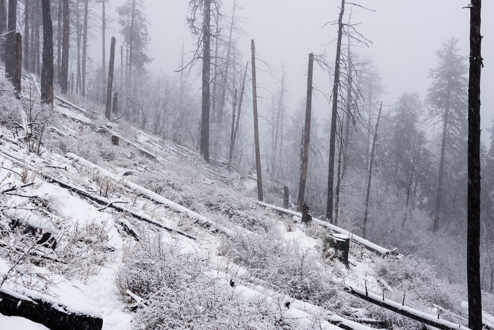
Snow along a fire-cleared section of the Knagge Trail. January 2015.
1501 Into the Storm
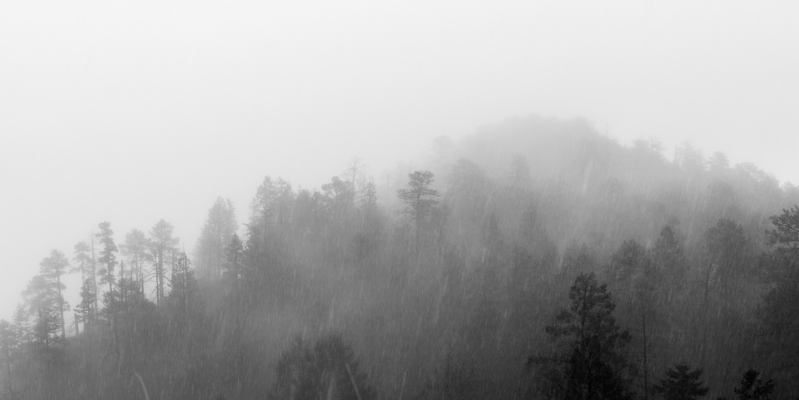
Disappearing into the storm. January 2015.

The snow has turned to rain by the time I finish the hike down to the cabin – out of time I head back up into the snow.

1501 Walking up the highway
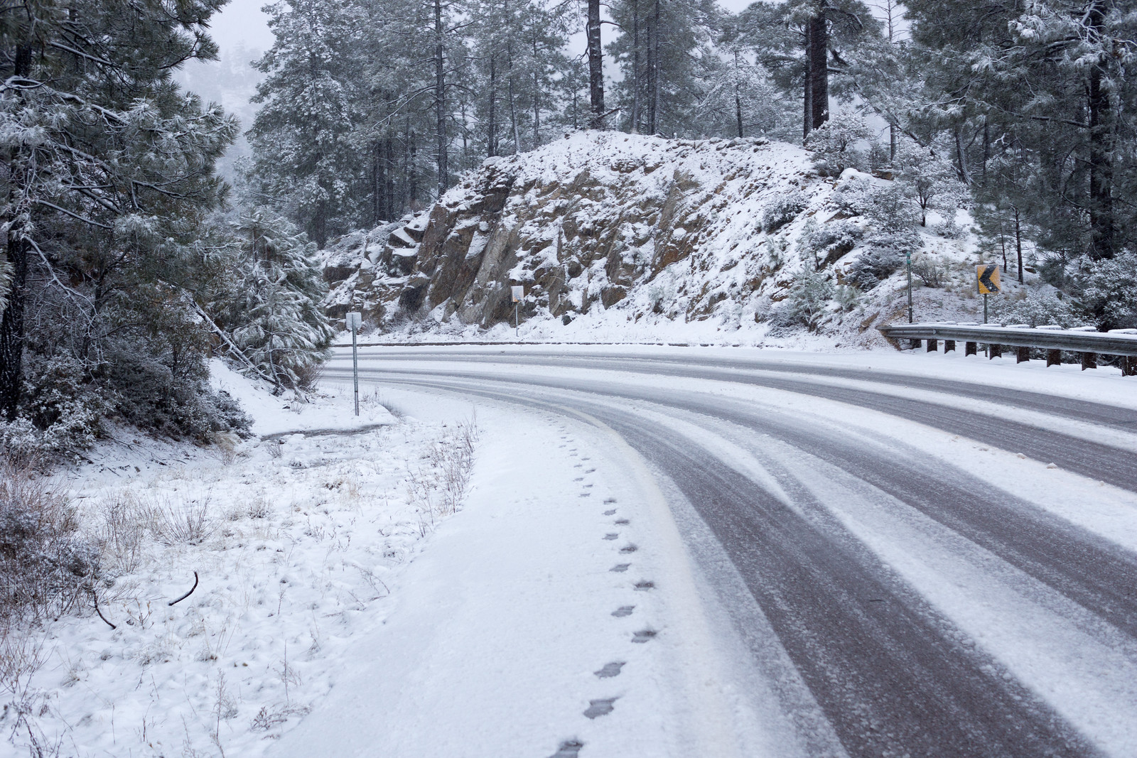
Snow on the highway – walking back up to the parking pullout above Incinerator Ridge Road. January 2015.

2.5 Miles, +/- 1100′ of elevation gain and loss.

Incinerator Ridge to Mount Bigelow – 9/21/2014

1409 Clouds from the Incinerator Ridge Trail
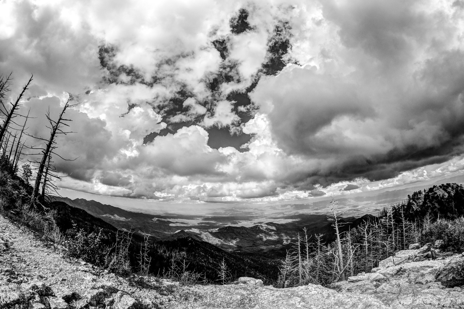
Clouds from the Incinerator Ridge Trail. September 2014.

The clouds over the mountain looked tempting and tall but I had to drive high on the mountain to get under their shadow – the cloudless blue skies around the mountain hint at higher temperatures to come, I don’t think summer is quite done… Ridgeline Parking Pullout, Incinerator Ridge Trail and Kellogg Trail up to Mount Bigelow. 4 miles, 1000′ of elevation gain/loss.

1409 Indian Paintbrush on the Kellogg Trail
Indian Paintbrush. September 2014.

Oracle Ridge Trailhead to San Pedro Vista – 8/24/2014

Oracle Ridge Trailhead – down the Control Road – Crystal Spring Trail (overgrown and beautiful – a number of the drainages flowing) – Butterfly Trail (a stop at the crash – more climbing than I remember!) – Kellogg Mountain TrailIncinerator Ridge Trail San Pedro Vista. The trails are beautiful, green and overgrown right now – what a great day! 13.5 miles, +2800/-3200′.
1408 Green and Overgrown
Green and overgrown – the Crystal Spring Trail in amazing summer form! August 2014.