Box Camp to Sabino Canyon – 12/13/2014

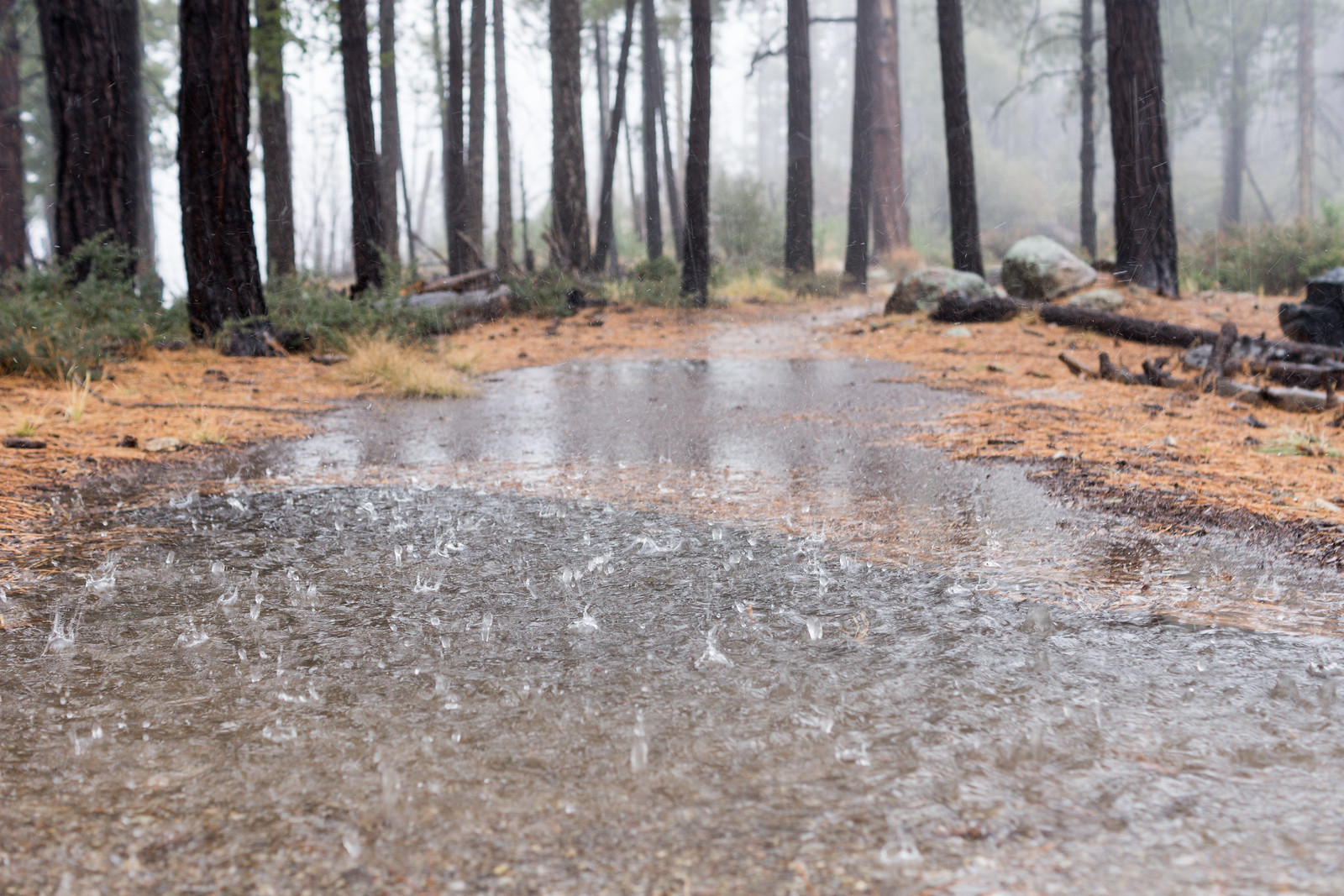
1412 Rain on the Box Camp Trail
Rain on the Box Camp Trail. December 2014.

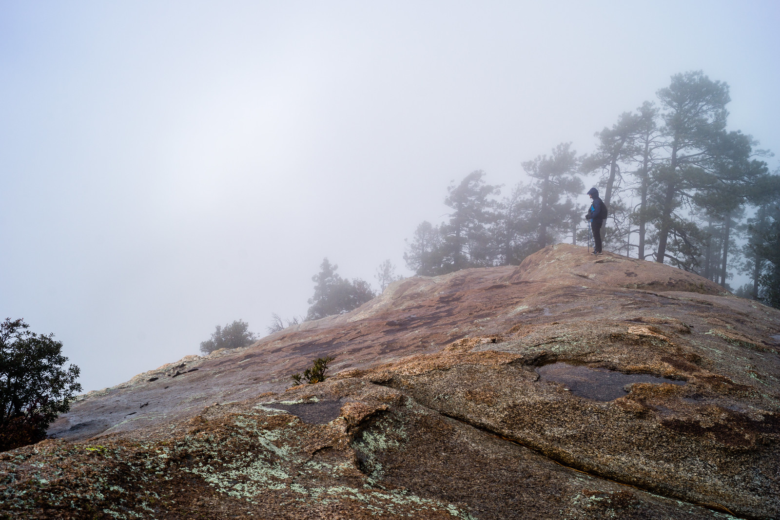
The rain turned to sleet sometime after we passed Ski Valley, the drive up had been slightly faster than usual on the empty highway, when we got out of the car at the top of the mountain the area was a wet mess – no winter wonderland, just frozen slush – a change of plans and down…

The clouds were just as solid at the Box Camp Trailhead – but the water falling from the sky was not nearly as frozen. As my ride pulls away the cold makes me shiver, no where to go now but up the trail.
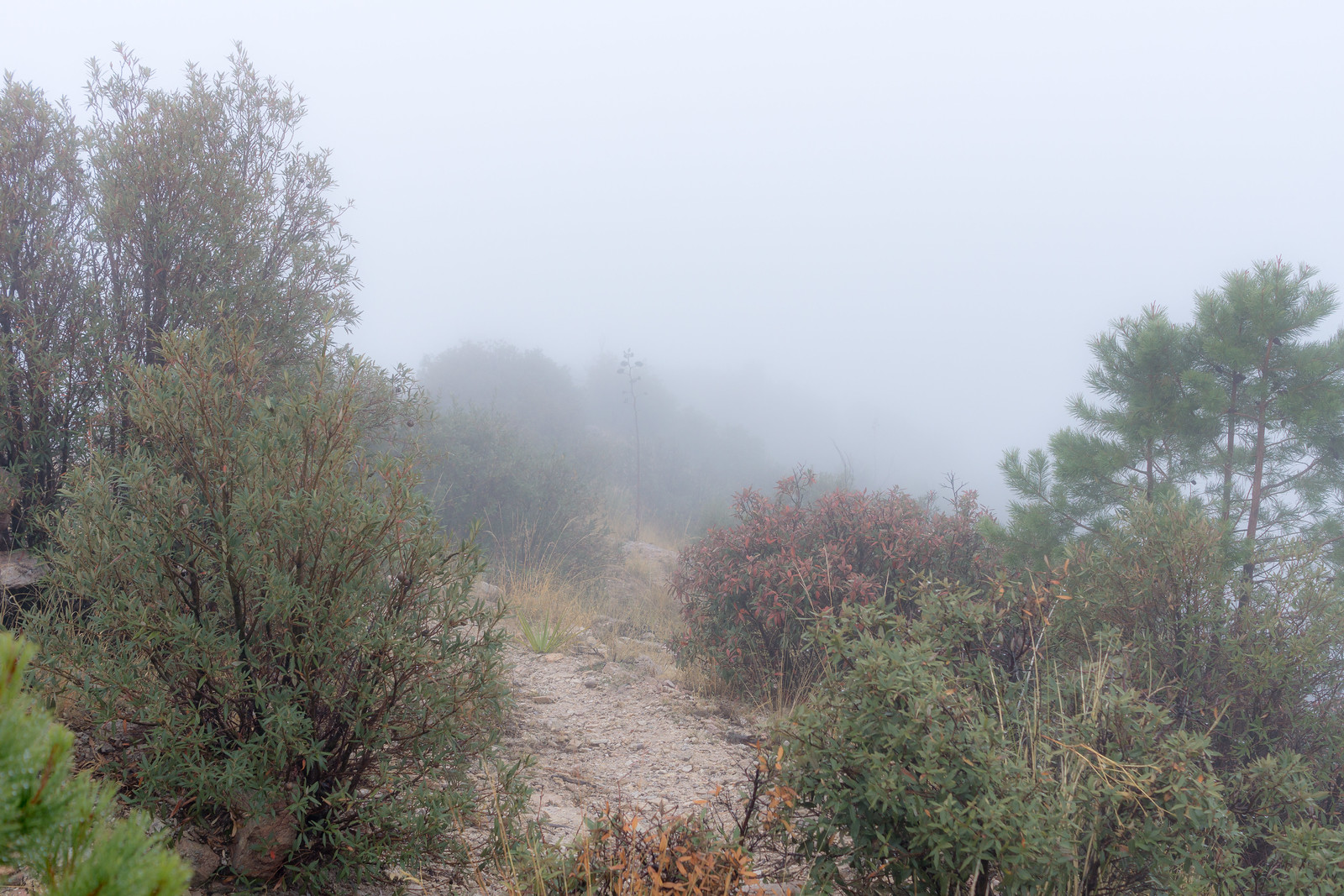
1412 Ridge Disapearing into the Clouds on the Box Camp Trail
On the Box Camp Trail – for an hour all I saw was the trail under my feet and the ridge twisting into the clouds… December 2014.

Lower on the trail, normally home to vast views, I spend a dreamlike hour alternating between watching the loose trail under my feet and the ridge twisting away into the clouds.

1412 Storm from the Box Camp Trail
On the left you can see the saddle where the Sycamore, Bear Canyon and East Fork Trails meet, a bit to the right the East Fork Trail is barely visible as it switchbacks down to the canyon. December 2014.

The grass is heavy with rain and the trail occasionally obscure – lower still the clouds break and views of Palisade Canyon, Sabino Canyon and the East Fork trail emerge. By the time I arrive at the end of the Phoneline Trail the rain is gone – I pull off my shell and head down the empty trail towards the city. Box Camp Trailhead to the Sabino Canyon Visitor Center, 12.8 miles, +680’/-5800′ of elevation gain/loss.

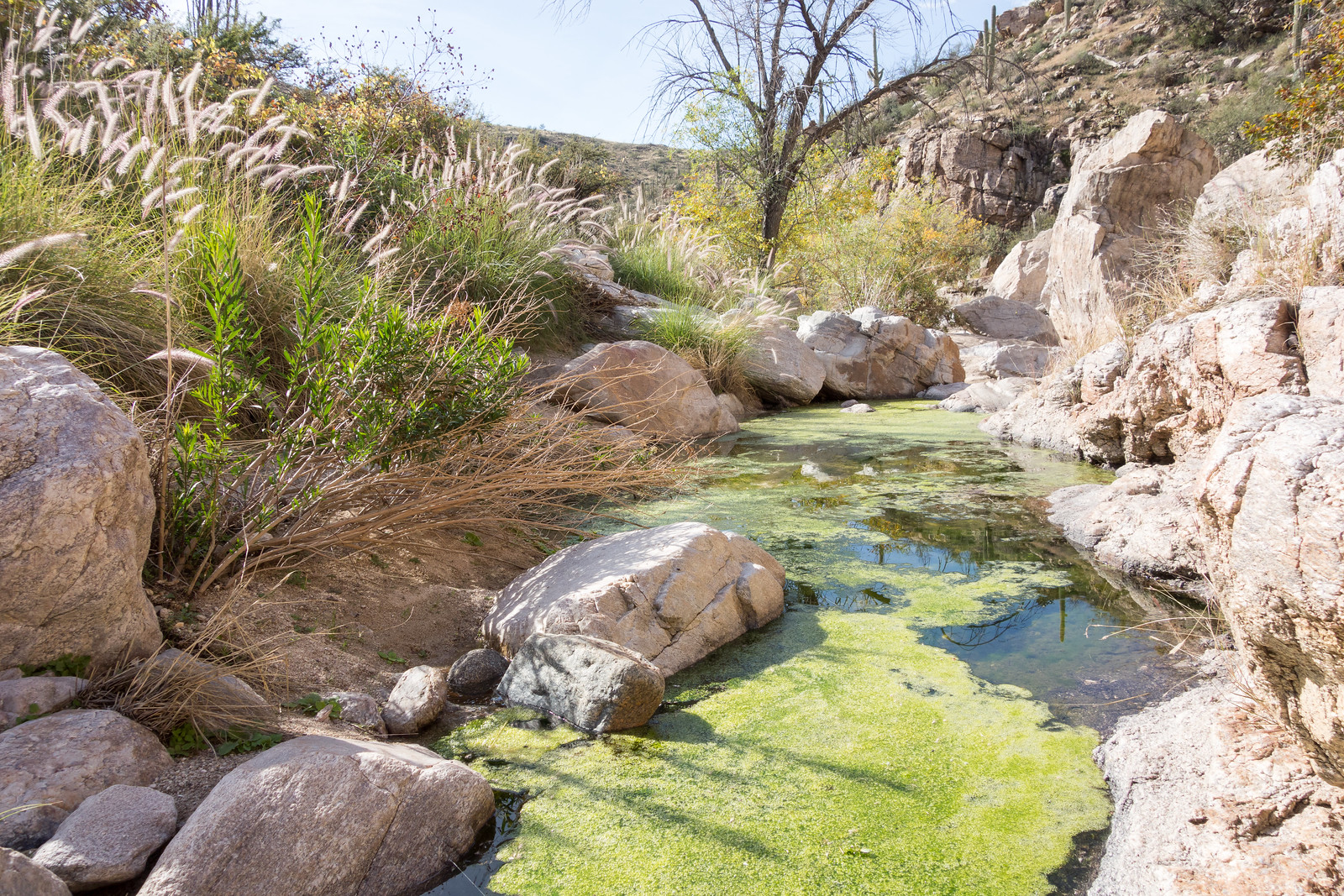
1412 Clouds over the Santa Catalina Mountains from Sabino Canyon
Storm – from Sabino Canyon. December 2014.

Milagrosa Loop – 12/12/2014

1412 Agua Caliente Canyon
Water down-canyon from the trail in Agua Caliente Canyon. December 2014.

In the bottom of Agua Caliente Canyon I leave the trail and spend a few minutes chasing the water down stream across the sand and boulders, surrounded by insects I can not name – in this section of the canyon there are not any towering walls or thundering falls, just intimate moments – a little too soon I find the trail again. Milagrosa/Agua Caliente Loop, 6.9 miles, 1450′ of elevation gain/loss.

1412 Butterfly in Agua Caliente Canyon
Butterfly and flowers in the bottom of Agua Caliente Canyon – lovely to see on a December hike. December 2014.

Molino Basin to Agua Caliente Hill – 12/7/2014

1412 Into the Sunset
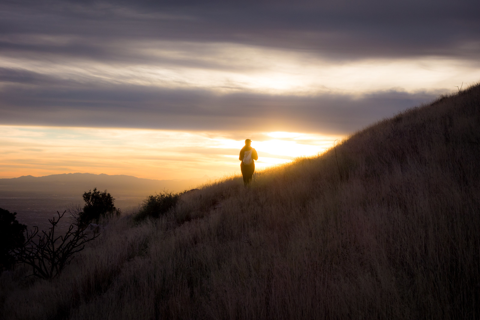
Sunset on the Agua Caliente Hill Trail. December 2014.

Climbing up the Bellota Trail out of Molino Basin a Gopher Snake and then a Tarantula stop my progress – not what I was expecting on a December afternoon – but always beautiful to see, I watch them move slowly away from the trail. There is water and mud at West Spring Tank – and in Milagrosa Canyon as I turn south.

I don’t see anyone on the Milagrosa Trail and the ridge between the canyons feels wonderfully far from the city. Trail 46A down into Agua Caliente Canyon – along the bottom – and then the climb to join the Agua Caliente Hill Trail.

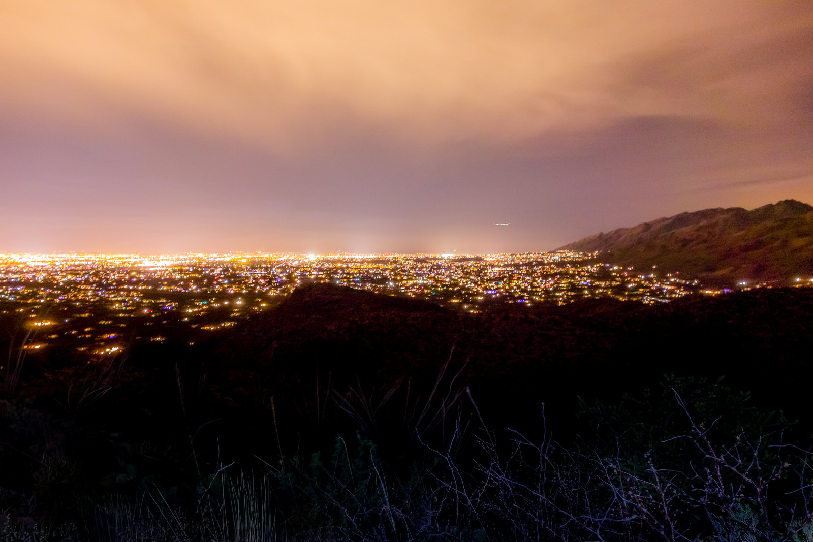
A pause at the summit and we start down – the sun, grass and views are stunning! The day fades – we watch the lights come on in the city and finish our in the Agua Caliente Hill South Trailhead just before the moon rises. 13.7 miles, +3200’/-4500′ elevation gain/loss.

1412 Tucson from the Agua Caliente Hill Trail
The Tucson City Lights from the Agua Caliente Hill Trail. December 2014.

Mount Lemmon Trail, Storm – 12/4/2014

The rain started early in the morning – the mountains were invisible from town by the time I started my drive to the top. Clouds floated thru Soldier Canyon at Hairpin Turn and covered the peaks around Molino Basin – the rain brought out the last of the fall colors.

The Summit Parking Area was empty and I didn’t see anyone on the Mount Lemmon Trail – alone with the storm. I knew that the forecast was for rain – not snow – but it was still strange to be at the top of the mountain in December with no hint of snow or ice…

1412 Enjoying the Storm
Enjoying the storm on the Mount Lemmon Trail. December 2014.

I stop a few minutes past the junction of the Mount Lemmon and Wilderness of Rocks trail to enjoy the clouds, wind and rain before starting the climb back up. The rain gauge at the top of the mountain records the last rain just before 2 o’clock – 2.87″ for the day – and on the hike up the clouds start to break.

1412 Clouds Below
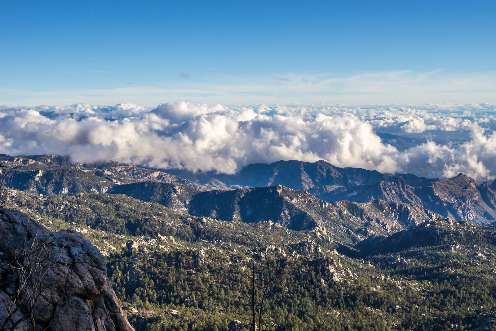
On the Mount Lemmon Trail as the storm clears – beautiful clouds below. December 2014.

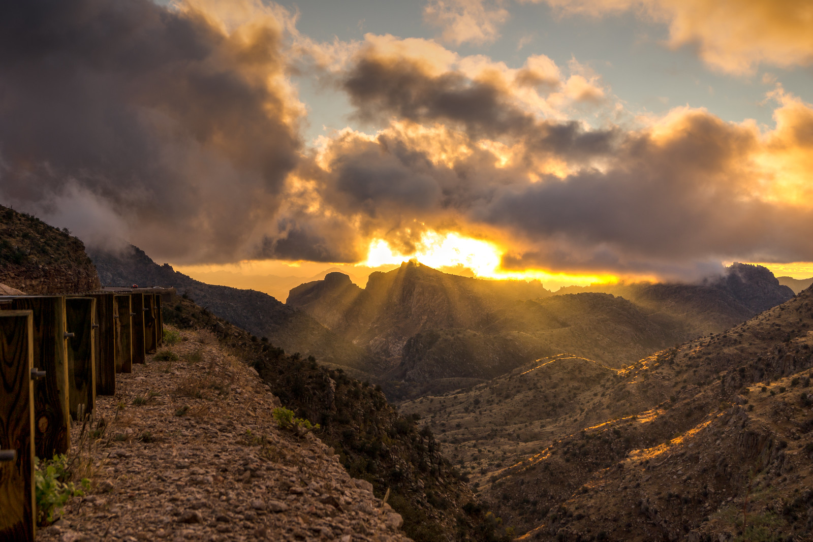
On the drive down the sun and clouds were spectacular – I was not alone in stopping to enjoy the beautiful light.

1412 Sunset from the Highway
Clouds and sunset from the highway. December 2014.

Finger Rock Trail and Pima Canyon Trail – 11/30/2014

1411 West Side of Finger Rock Canyon
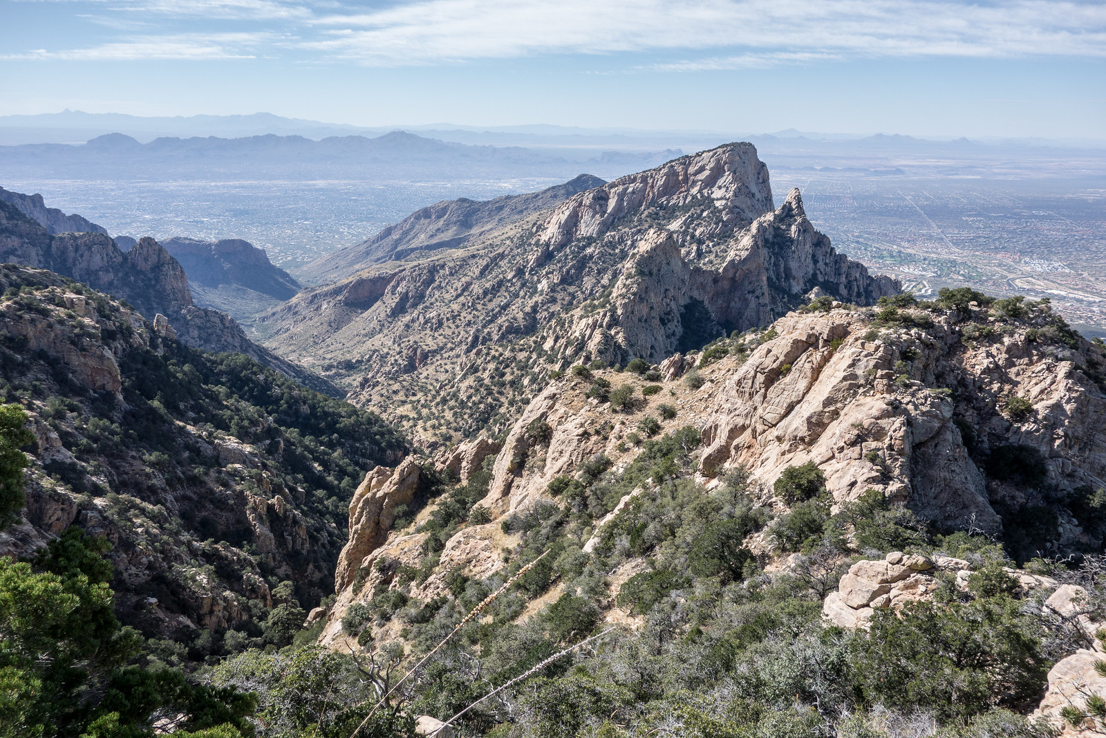
A view of the west side of Finger Rock Canyon from the Finger Rock Trail. November 2014.

Combining the Finger Rock Trail and the Pima Canyon Trail gives you access to miles and miles of great views and notable destinations – Linda Vista, Mount Kimball – outstanding views up to the top of the mountain, Pima Saddle – a unique view down Pima Canyon from the nearby highpoint, Pima Spring and the lovely bottom of Pima Canyon… But it does require some effort – 13.5 miles, +4860’/-4925′ of elevation gain/loss with a car shuttle between trailheads.

1411 Looking Down Pima Canyon from the Pima Canyon Trail
Above Pima Saddle looking down Pima Canyon. November 2014.

1411 Inside the Pima Spring Tank
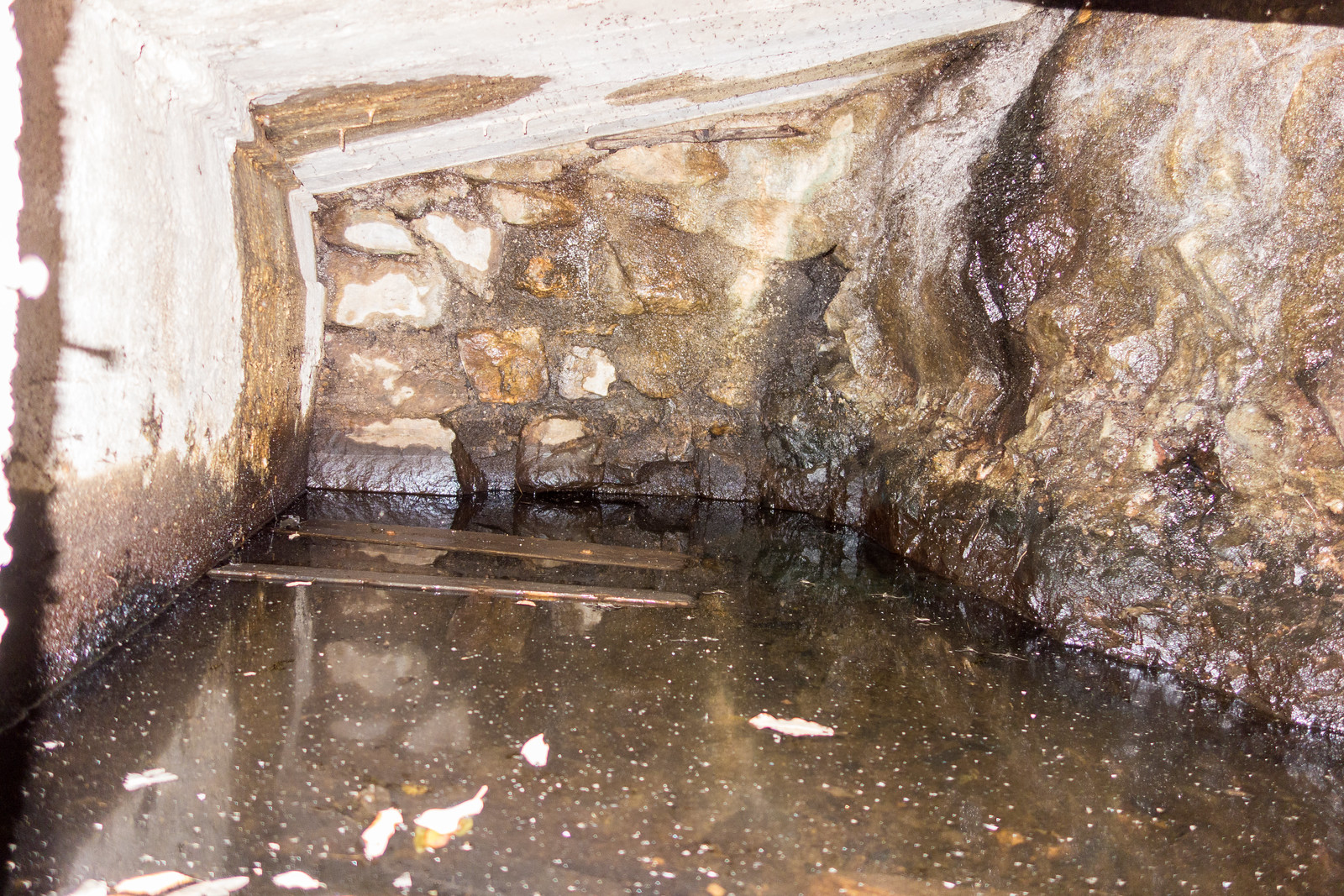
The inside of the Pima Spring Tank – via camera flash – note the small stalagtites

1411 Setting Sun in the Cottonwoods
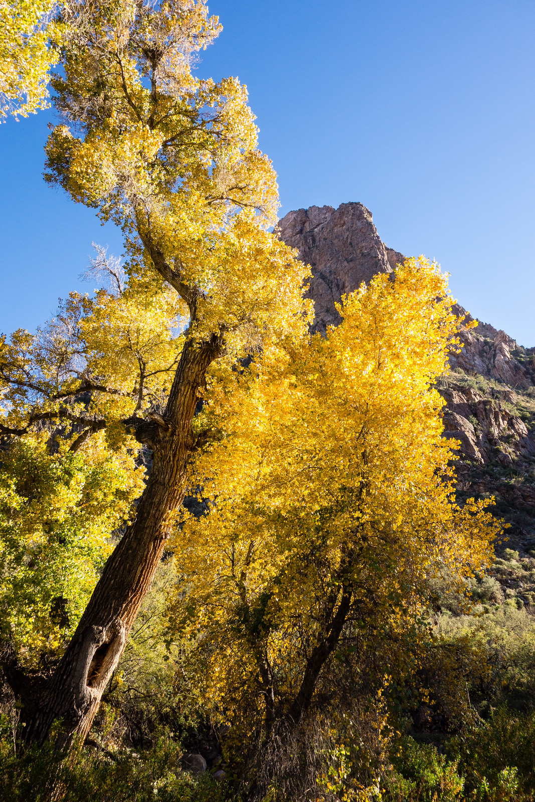
End of the day sun and Cottonwoods along the Pima Canyon Trail. November 2014.