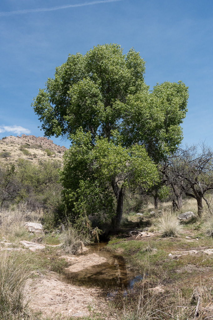
Beautiful green below West Spring near the large tank on the Bellota Trail. March 2017.
Pieces of the Bellota Trail are easy to see from the Molino Basin Parking Area or the Italian Spring Trailhead, but at over 20 miles for a full out and back it’s a long day to see the whole thing – so it was lucky to find a friend interested in doing a car swap/key exchange allowing me to make the rather beautiful trip out of the Santa Catalina Mountains over to Redington Road with a casual start, relaxed pace and plenty of time to enjoy the journey!
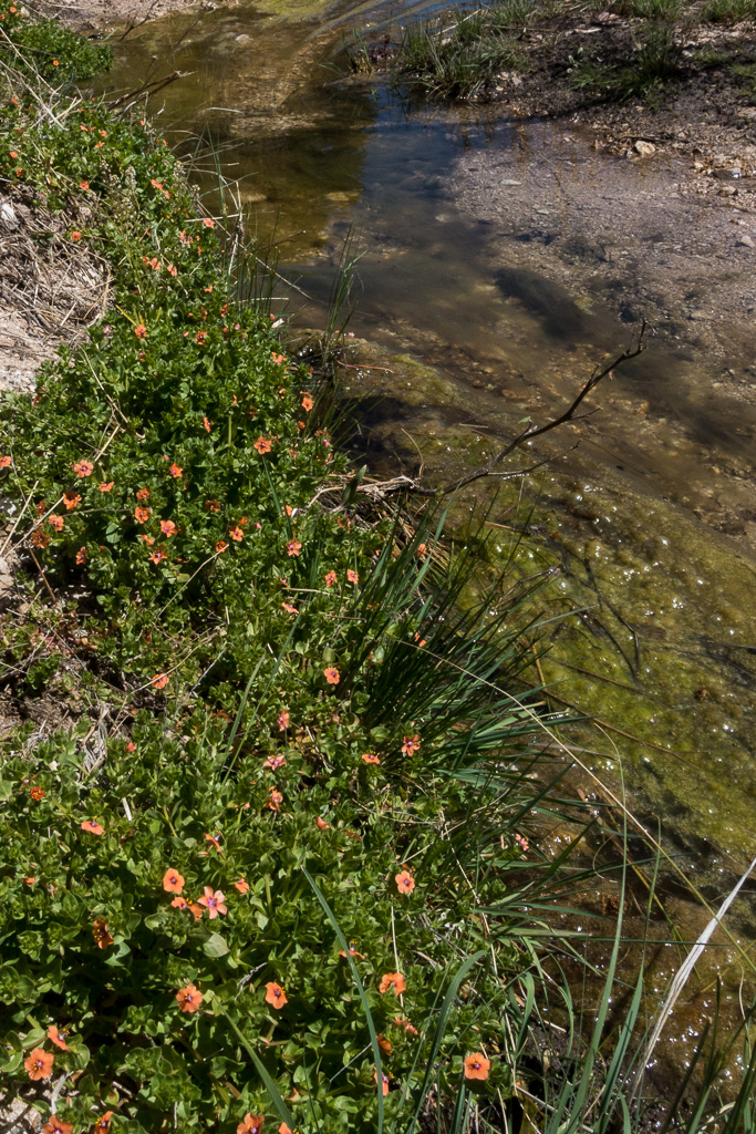
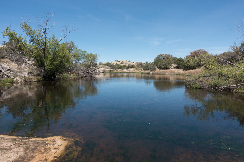
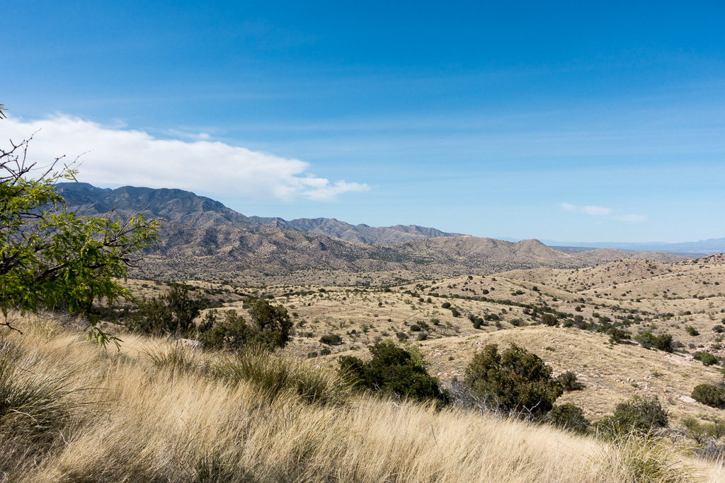
Scarlet Pimpernel high in Agua Caliente Canyon at the Bellota Trail crossing (after the trail leaves FR36A). March 2017.The Lake – this pool of water is just off the Arizona Trail (Bellota Trail) near The Lake Trailhead on FR36. March 2017.Looking towards the Evans Mountain from Point 4622, just off the Bellota Trail. March 2017.
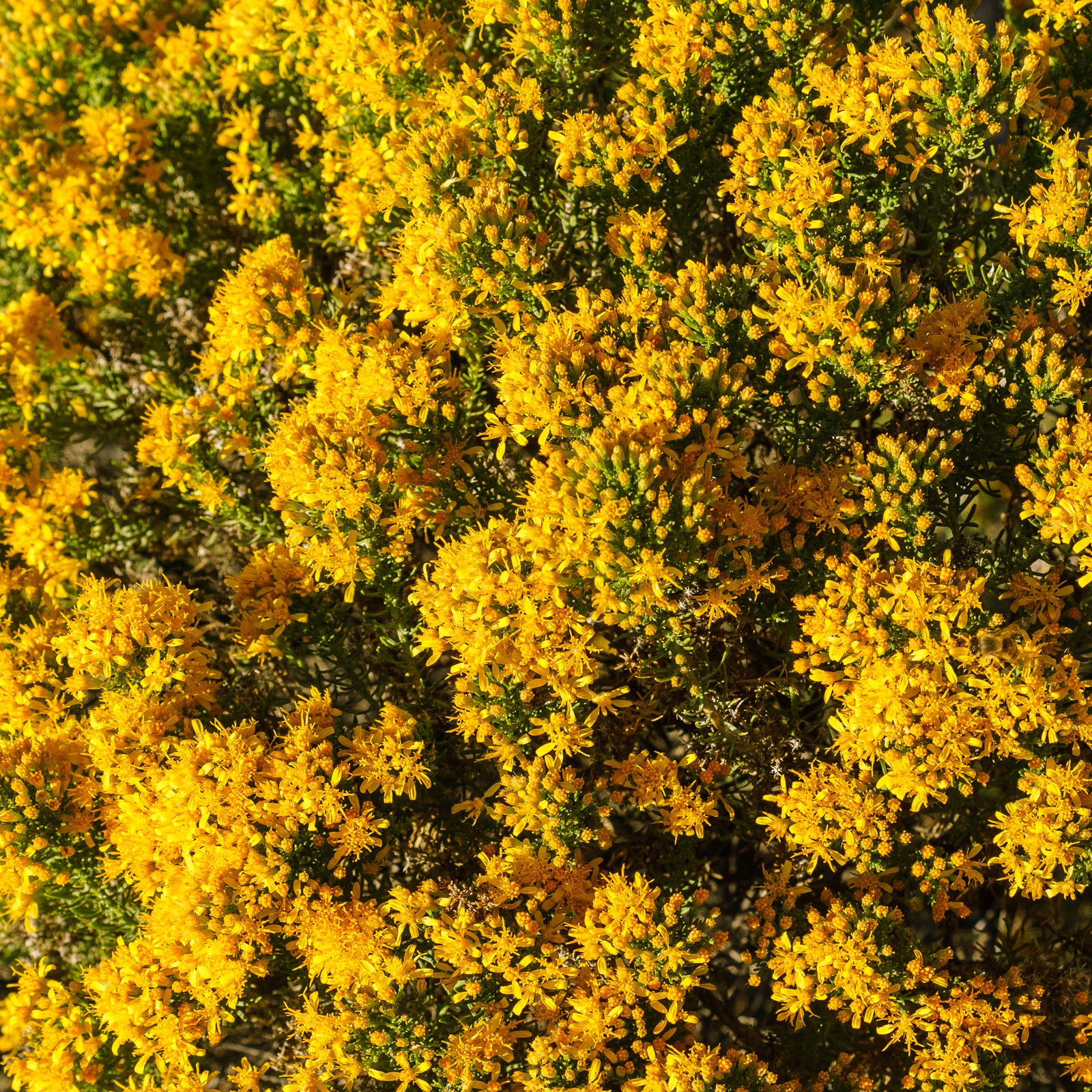
Turpentine Bush – fall flowers along the Bellota Trail. October 2016.
Fall colors along the Bellota Trail – yellows and reds – the same colors that you can see in the Aspens higher on the mountain, but here in flowers rather than falling leaves.
I feel like I haven’t done a hike this year without seeing flowers, probably an exaggeration that won’t survive the first snowfall, but with so many mid-October blooms the winter seems so far away…
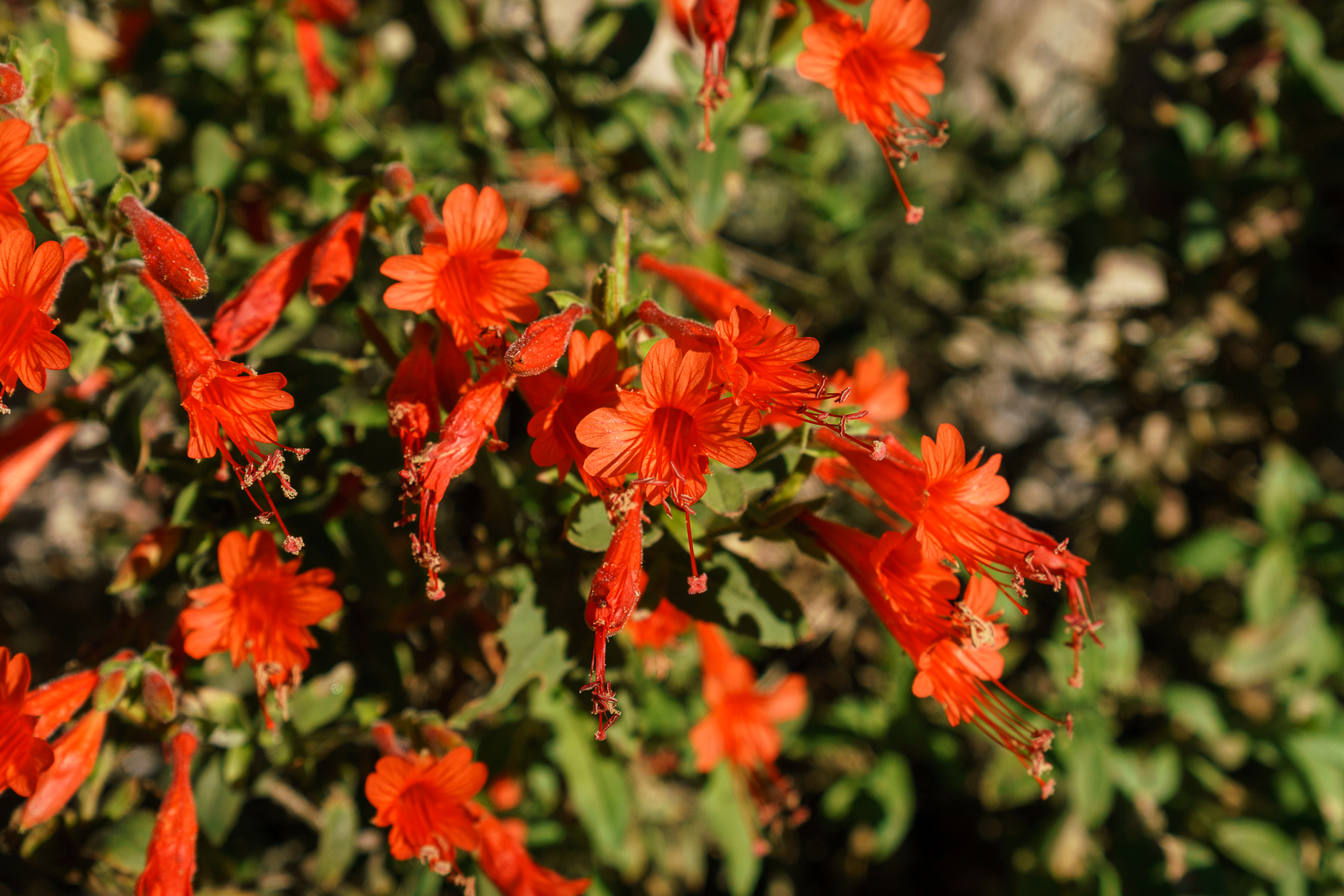
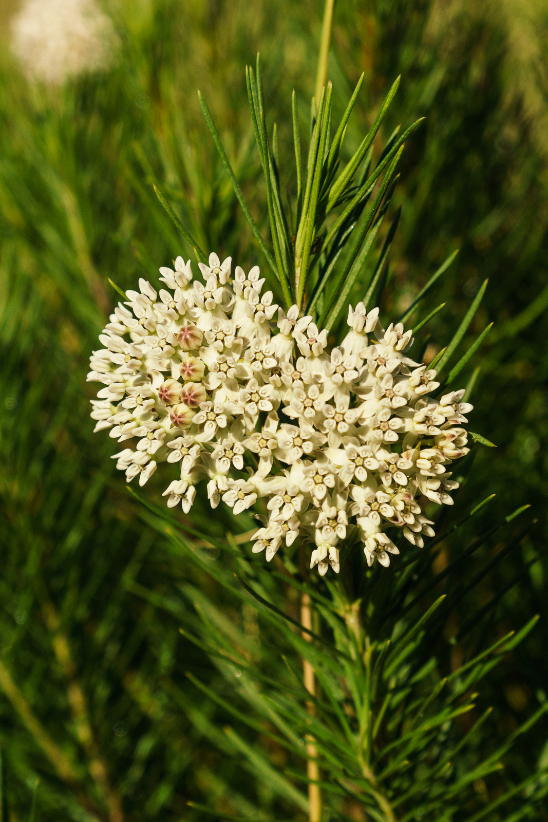
Hummingbird Trumpet Flowers on the Bellota Trail. October 2016.Pineneedle Milkweed flower on the Bellota Trail. October 2016.
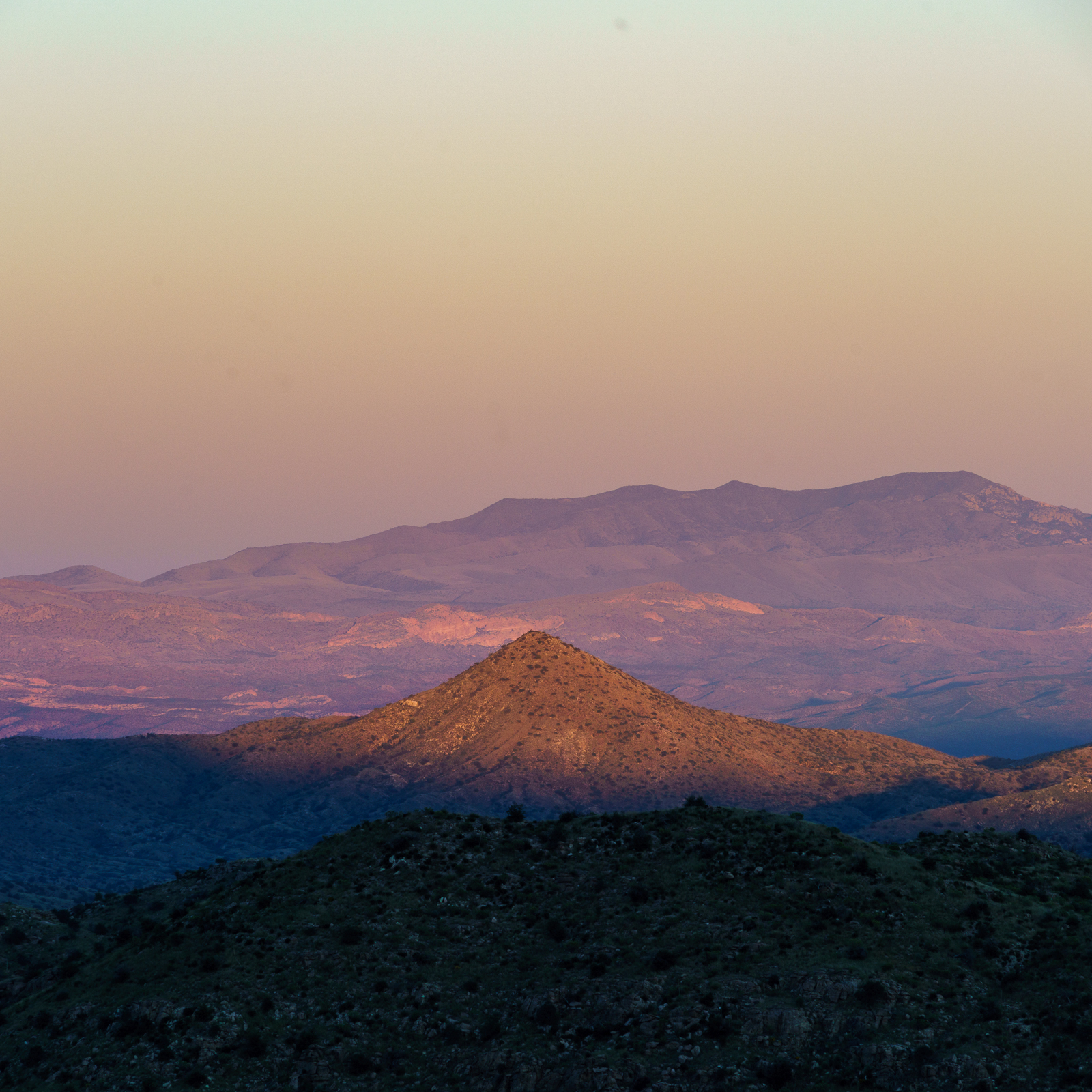
Piety Hill and the Winchester Mountains in sunset light. October 2016.
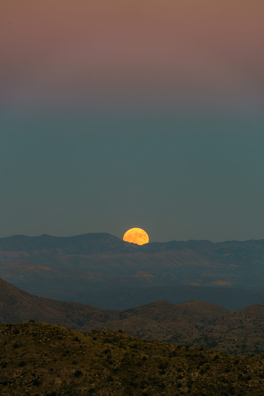
We started at the Molino Basin Parking Area and hiked the Bellota Trail – as the eastern skyline came into view we left the trail and traversed the hillside – with Piety Hill visible below and the Winchester Mountains on the horizon we sat down to watch the sunset and wait for Hunter’s Moon to rise.
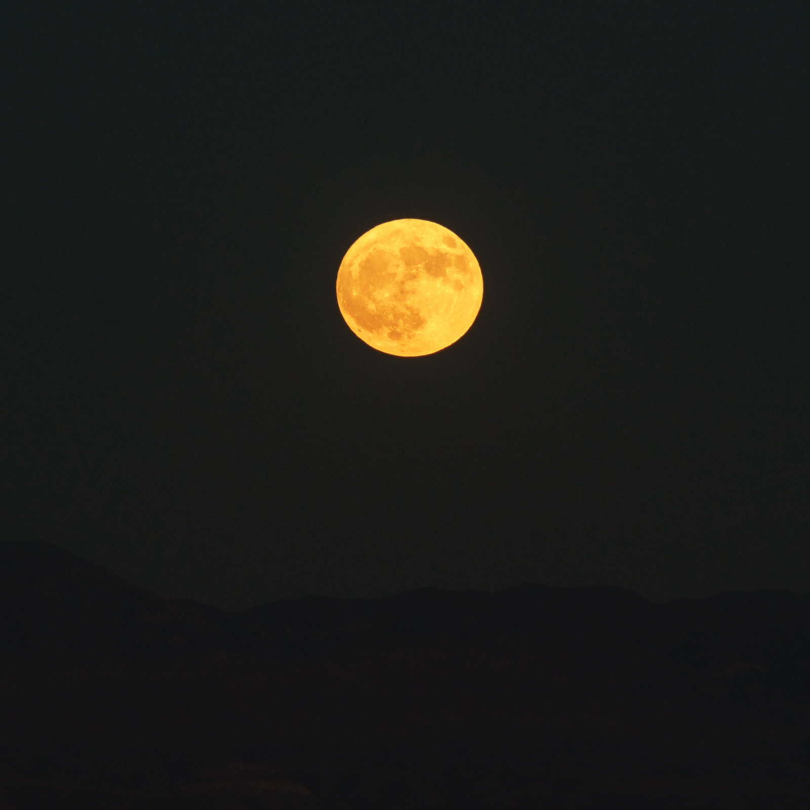
The name [Hunter’s Moon] dates back to the First Nations of North America. It is so-called because it was during the month of October, when the deers had fatted themselves over the course of the summer, that hunters tracked and killed prey by autumn moonlight, stockpiling food for the coming winter.
A Hunter’s Moon rising behind the Winchester Mountains – taken near the Bellota Trail. October 2016.Watching the Hunter’s Moon from near the Bellota Trail. October 2016.
A sign for the ‘start’ of the Molino Basin Trail – slightly out of place… April 2016.
I don’t ever remember noticing the trail sign at the start of the Molino Basin Trail – still standing, but nicely overgrown and no longer actually on the trail, probably the victim of past changes to the Molino Basin Parking Area – I wonder if the signs enjoys its retirement off the beaten path… 🙂
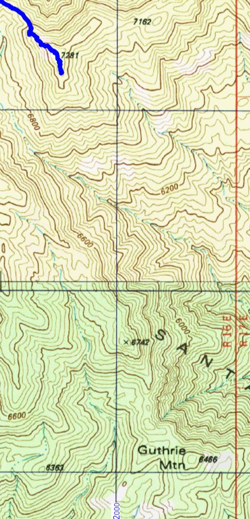
The Guthrie Mountain Trail ends near Point 7281 – the highest peak in the area – but if you look at the USGS 7.5′ maps you might notice that Point 7281 is not labeled ‘Guthrie Mountain’.
The end of the Guthrie Mountain Trail shown on the USGS 7.5′ topo map – note that this point is not labeled ‘Guthrie Mountain’.
However if you look around on the USGS 7.5′ maps for the Santa Catalina Mountains you will eventually find a point well to the south of the ending of the Guthrie Mountain Trail labeled ‘Guthrie Mountain’.
The two Guthrie Mountains – Point 7281 where the Guthrie Mountain Trail ends and Point 6466 where Guthrie Mountain is labeled on the USGS Maps.
From the 3rd edition of the [GuideYellowBook/], p. 75:
Guthrie Mountain was named for an early forest supervisor in the southwest and is located on the U.S.G.S. quadrangle map as a 6464-foot-high point on the ridge just east of Molino Canyon. It is the opinion of the authors that this is an error and that Guthrie Mountain is the prominent 7300-foot-high point just north of Burro Canyon and about a mile southeast of Bear Saddle.
While I think that the ending point of the Guthrie Mountain Trail makes the most sense as ‘Guthrie Mountain’ the Guthrie Mountain label on the USGS maps provides an excellent excuse to visit another point on the map…
We approached the USGS Guthrie Mountain from the Molino Basin Parking Area, starting on the Bellota Trail but quickly turning onto the route up Molino Canyon. We hiked several miles up the beautifully rugged canyon bottom to a point west of the USGS Guthrie Mountain and, after some debate about what would be the best way up onto the ridge, we began our ascent. What started as a smart/clean way to the ridge quickly devolved into a slow crawl (occasionally literally) thru the Manzanita – thankfully the ridge was fairly close soon we had our first good look at the USGS Guthrie Mountain.
USGS Guthrie Mountain. March 2016.
A small trail along the ridge took us quickly to the top – the peak is fairly open on top and there are great views! Not, I think, the ‘real’ Guthrie Mountain – but certainly a beautiful destination.
Piety Hill from the USGS Guthrie Mountain. March 2016.Looking up towards the ‘real’ Guthrie Mountain from the USGS Guthrie Mountain – Point 7135, Point 6742 and the ‘real’ Guthrie Mountain are the highpoints. March 2016.Looking across Point 6069 down into Tucson from the USGS Guthrie Mountain – part of Airmen Peak is visible on right edge of the picture. March 2016.