Miami Fire Pictures from Summerhaven – 4/18/2014

It was a beautiful day high on the mountain – we drove to the Summit Trailhead to start a friendly race – Aspen Draw Trail, thru Summerhaven, Mint Spring Trail, Marshall Gulch Trail and the Aspen Trail to Marshall Saddle – I managed to win by about a minute, but not without an all out effort!

While hiking back to the car on the Aspen Trail I noticed smoke below and assumed it was just someone burning brush… But in Summerhaven (to get a cookie!) we were able to see the flames, smoke and orange tint from the Miami Fire.
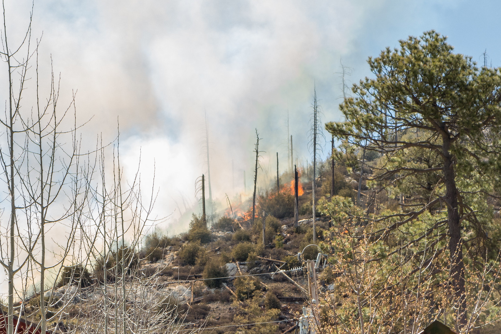
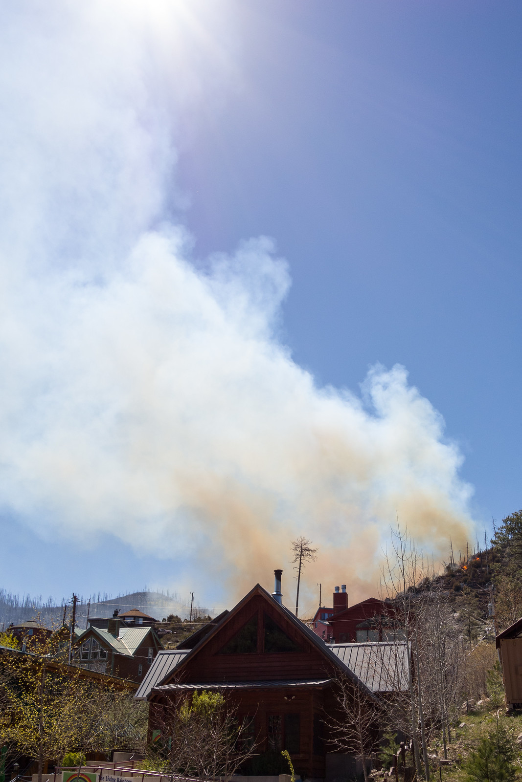
1504 Hillside Flames
Flames from the Miami Fire on a hillside above Summerhaven. April 2015.
1504 The Miami Fire from Summerhaven
Smoke and flames from the Miami Fire. April 2015.

It was hard to tell how big and close the fire was – but thankfully InciWeb reports that the fire is only 5 Acres and already 20% contained (see updates below). Both Tucson News Now and the Arizona Daily Star report that no structures have burned, there are no current evacuation orders and that while precautions are being taken no structures are currently threatened. The cause is still under investigation but it is believed to be human-caused. The highway was closed at the base.

UPDATE 4/21/2015 – InciWeb now reports that the fire is 100% contained – no structures were damaged and the fire burned 5 acres.

UPDATE 4/19/2015 – Tucson News Now reports that the highway reopened Saturday night and remained open on Sunday.

From InciWeb 4/20/2015: The Miami Fire was 100% contained today at 4:30 p.m. The crew has been released. The fire has transitioned to the Arizona State Forestry Division. This will be the final update for the Miami Fire.

From InciWeb 4/19/2015: Miami Fire is 40% contained. Crews have fireline and are cooling hot spots in the interior (mopping up). Four acres on private land, .6 on Coronado National Forest.
Due to the prompt response of Coronado National Forest, Mt. Lemmon Fire Department and Rural Metro Fire Department, a positive outcome of no structures lost was possible. Close proximity of a helipad and dip site to the fire also contributed to the success.

From InciWeb 4/18/2015: The Miami fire, burning in Carter Canyon near Summerhaven is now 20 percent contained and is 4.6 acres. The fire was active in the afternoon but the fire behavior has now decreased. Firefighters expect to make good progress tonight, but the area has many snags, and heavy mop up is anticipated. There are currently five engines, two water tenders a helicopter, a twenty person handcrew, and various overhead are assigned to the fire. That is more than forty firefighters working to suppress the Miami fire with another twenty person handcrew ordered. The Mt. Lemon Highway remains closed at MP 0.
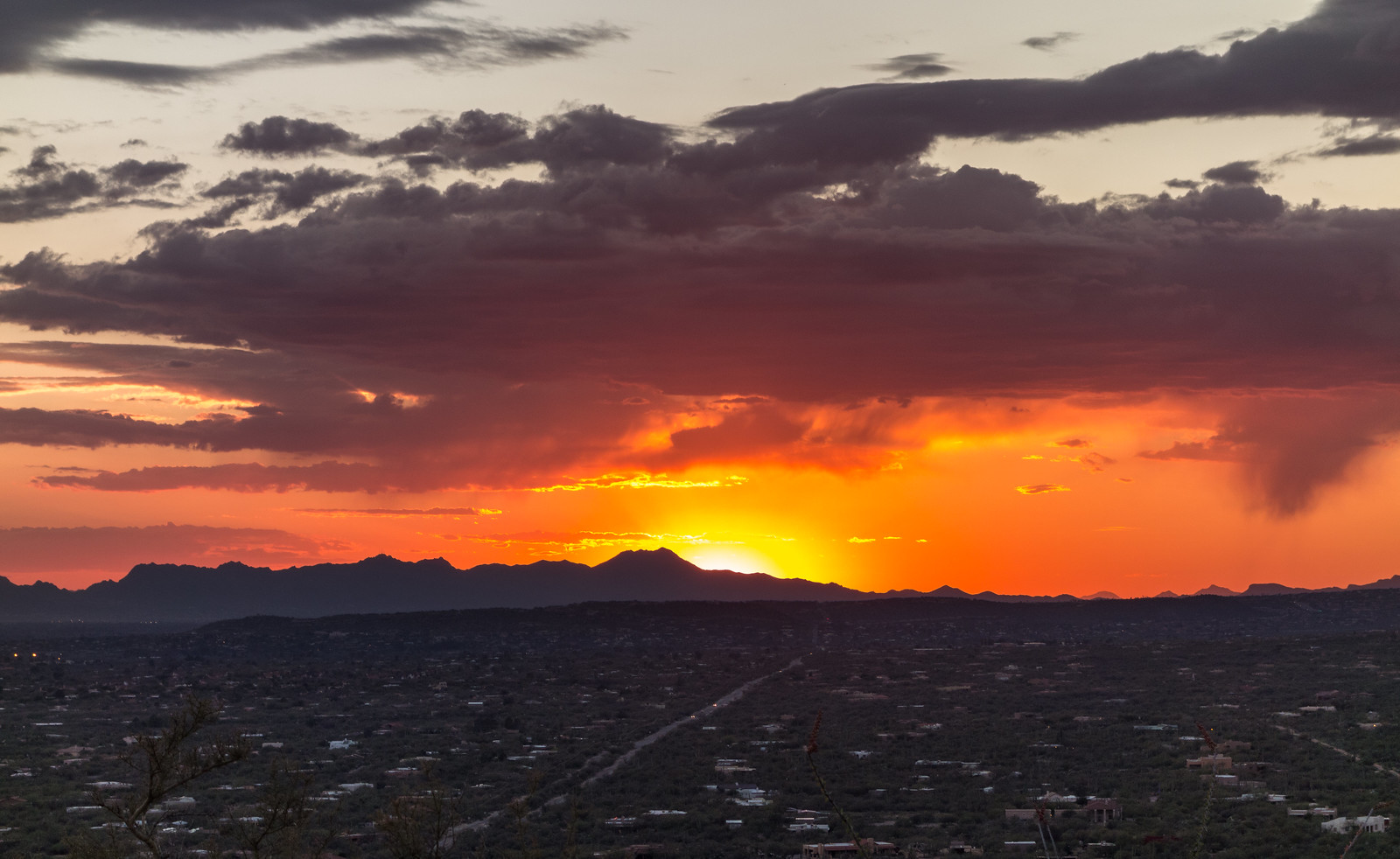
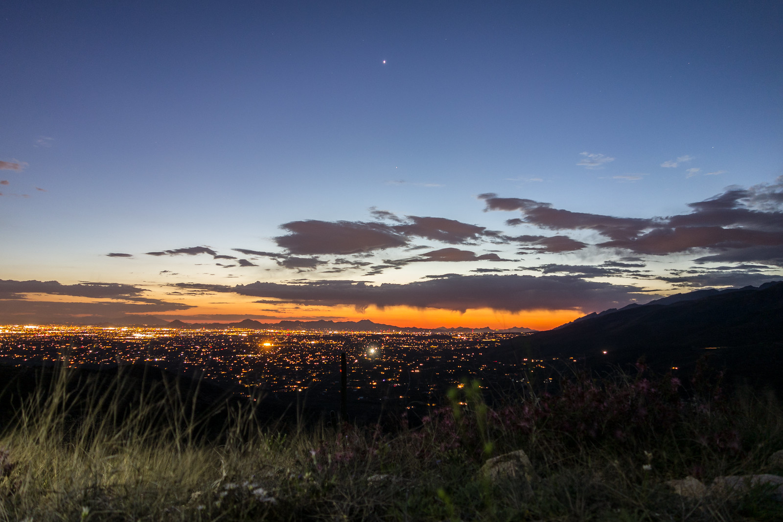
Sunset, City Lights, Stars – 3/13/2015

1503 Sunset from the Agua Caliente Canyon Trail
Sunset from the Agua Caliente Canyon Trail. March 2015.
1503 Last light just before descending into Agua Caliente Canyon
City lights – starting the descent into Agua Caliente Canyon. March 2015.
1503 Enjoying the Night in La Milagrosa Canyon
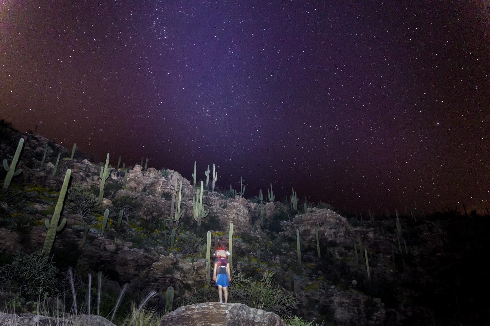
Stars – night in La Milagrosa Canyon. March 2015.


Sunset, City Lights, Stars – La Milagrosa and Agua Caliente Canyon Trail Loop.

Night at Romero Pools – 3/11/2015

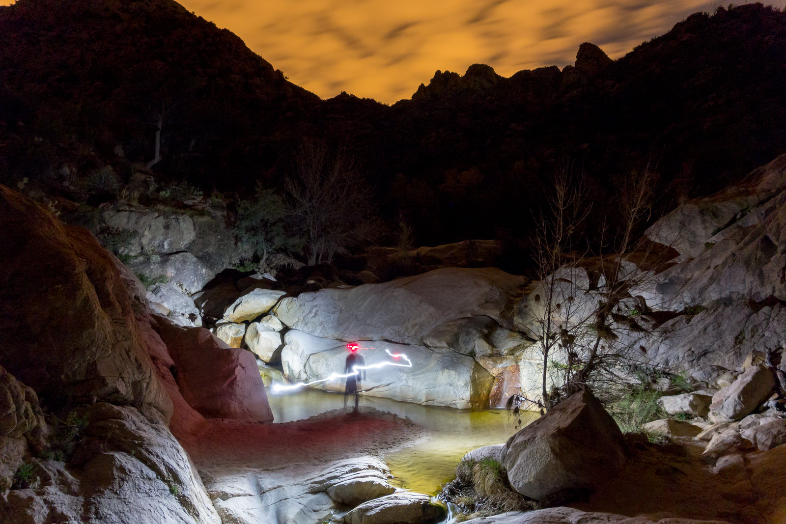
1503 Romero Pools by Headlamp
Devin exploring Romero Pools by headlamp. March 2015.
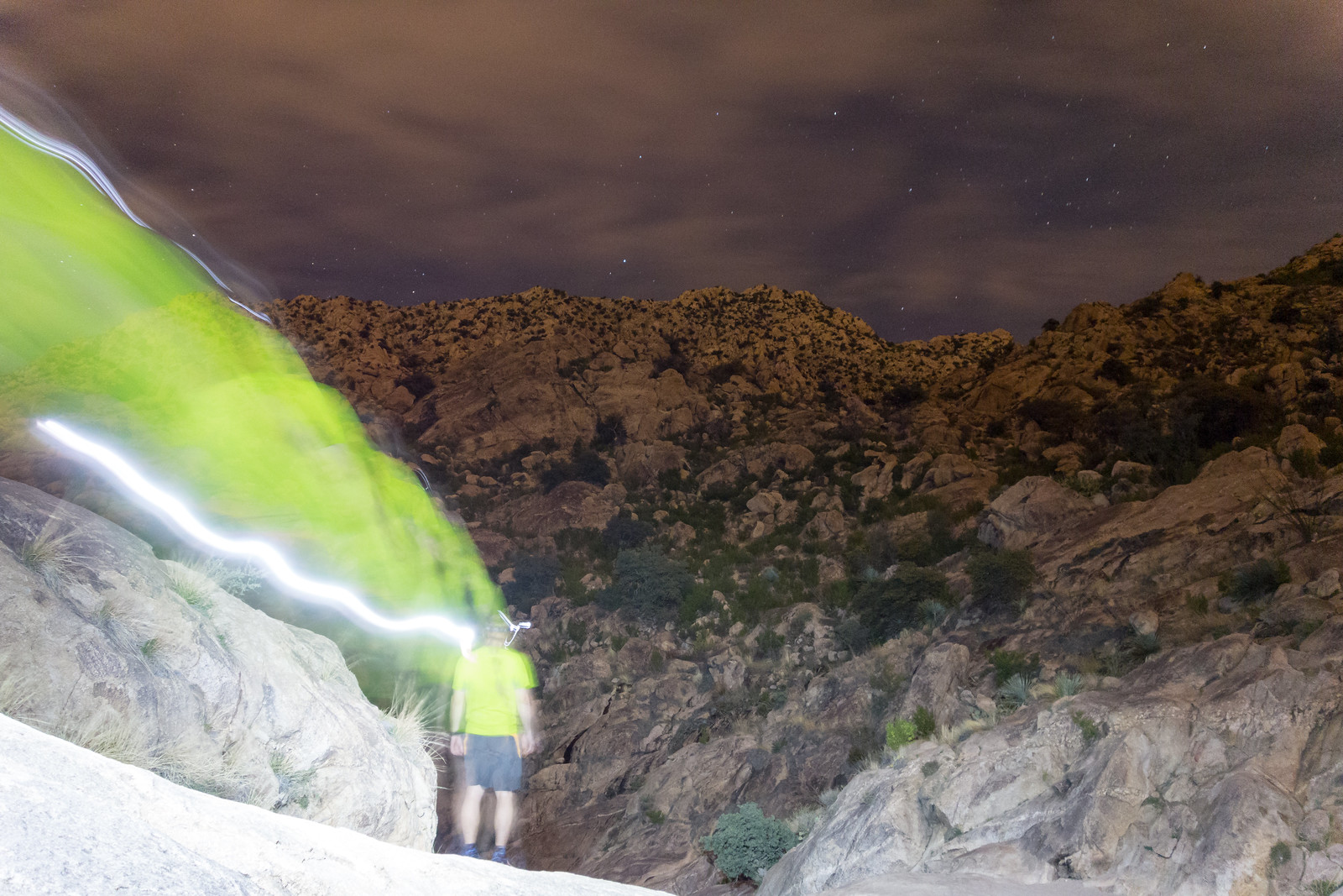
1503 Night Hike to Romero Pools
Looking down Romero Canyon. March 2015.

A night hike to Romero Pools – sunset, centipede, sounds of water, red spotted toad, the pools by headlamp, stars, great company – 5.9 miles, +/- 1300′ of elevation gain/loss.

Agua Caliente Hill Trail and Ridge Loop – 2/12/2015

1502 Cat Track Tank
Cat Track Tank with water from the recent winter storms. February 2015.

Its sunny and windy, no sign of the rain that filled Cat Track Tank and many of the smaller drainages – I follow the Agua Caliente Hill Trail past the junction with FR4445, under False Hope Hill, across the grassy hillsides and up to the top.

At the top – a quick note in the summit register, a few moments pondering the short/sad/beautiful note above mine and a brief but careful consultation of the map and GPS before leaving the trail and plunging down the ridge to the west towards towards Cat Track Tank.

1502 Weathertop to Tuffet Tank
Off-trail on the ridge west of Agua Caliente Hill (center) with a view stretching from Weathertop (left) to Tuffet Tank (right). February 2015.

Capturing the view from Weathertop to Tuffet Tank takes multiple photos – stitched together they document the view, but fall far short of capturing the joy of being out on the ridge. The map shows a trail from the ridge to Cat Track Tank, I find it and try to follow the fading track.

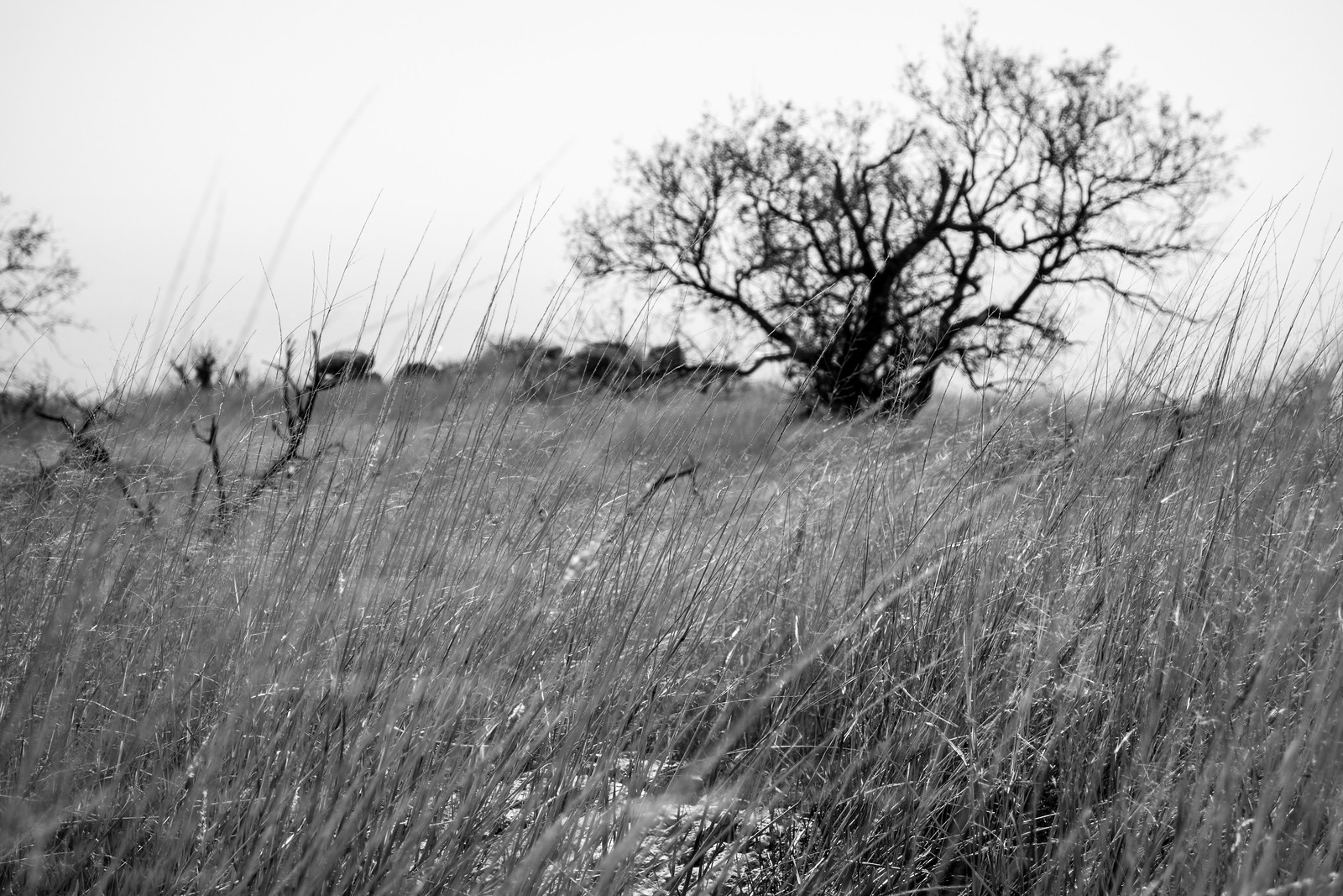
1502 Grass and Tree
Grass and tree on the ridge – the windy day reduced visibility and looking towards the Tucson Mountains the sky was white with dust. February 2015.

As the trail descends off ridge it disappears and the Cat’s Claw closes in – eventually I abandon trying to find the trail and cut down to the Agua Caliente Hill Trail to finish the day.

9.2 miles, +/- 3000′ of elevation gain and loss.

FR4446 from Gnat Tank to the Private Land Boundary – 2/8/2015

1502 Old Road from Gnat Tank towards Roger Road
Following the ridge on FR4446 – on the ridge FR4446 is overgrown but easy to follow. February 2015.

I have been past Gnat Tank a number of times and hadn’t ever noticed any trails other than the Agua Caliente Canyon Trail in the area, but maps and aerial photography clearly show Forest Road 4446 breaking off from the Agua Caliente Canyon Trail at Gnat Tank…

This time, knowing the trail exists, I find it easily enough on the west side of the tank. Hardly a road at this point the faint trail works up the hill to a shallow saddle – recent horse tracks and cairns hidden in the grass help me find the way.

At the saddle I have to wander around and consult the GPS to get on the right track – after a few minutes the old road emerges from the grass, easy to follow as it rambles down the ridge.

Map of FR4446 from Gnat Tank to the private land boundary.
FR4446 in red from Gnat Tank to the Forest Land/Private Land boundary – there is no legal access to Roger Road from this point. The La Milagrosa and Agua Caliente Canyon Trail Loop is shown in black. FSTopo map.
1502 Looking towards Agua Caliente Hill
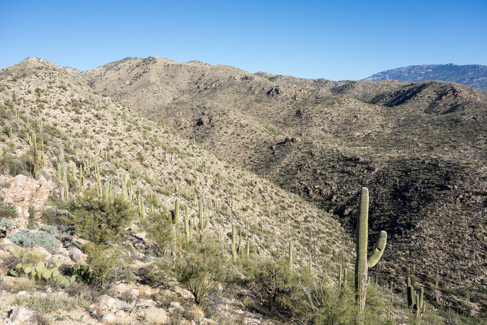
Looking towards the Agua Caliente Hill trail from FR 4446 – Cat Track Tank is above the prominent Saguaro in the foreground, False Hope Hill and Agua Caliente Hill in the background on the left. February 2015.

The views are great from the ridge – on one side La Milagrosa and Agua Caliente Canyons, on the other side views of the Agua Caliente Hill Trail, False Hope Hill above and Tucson below.

1502 Old Boundary Line
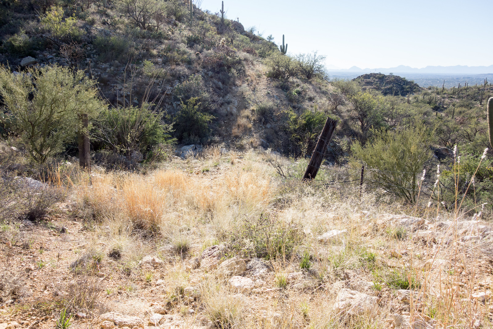
FR4446 continues across the fence into private land – there is currently no legal access into this area from Roger Road. February 2015.

The trail descends towards the Roger Road – but at the moment there is no legal way to connect to Roger Road, private land blocks the way. The access issues in this area date back quite a few years – a quick search turns up this 1996 article – County takes first steps for access to trail, Tucson Citizen, Jennifer Katleman – and Roger Road access is listed in the project list of the 2012 Pima Regional Trail System Master Plan (p. 194). The Pima County Natural Resources, Parks and Recreation Department confirmed that while there is no current anticipated completion date they are looking for opportunities to complete this project. (This is a good opportunity to mention the Pima Trails Association, the current tag line on their website is “Protecting and preserving Pima County trails since 1987” – an important organization to support if you are concerned about trail access in Pima County!)

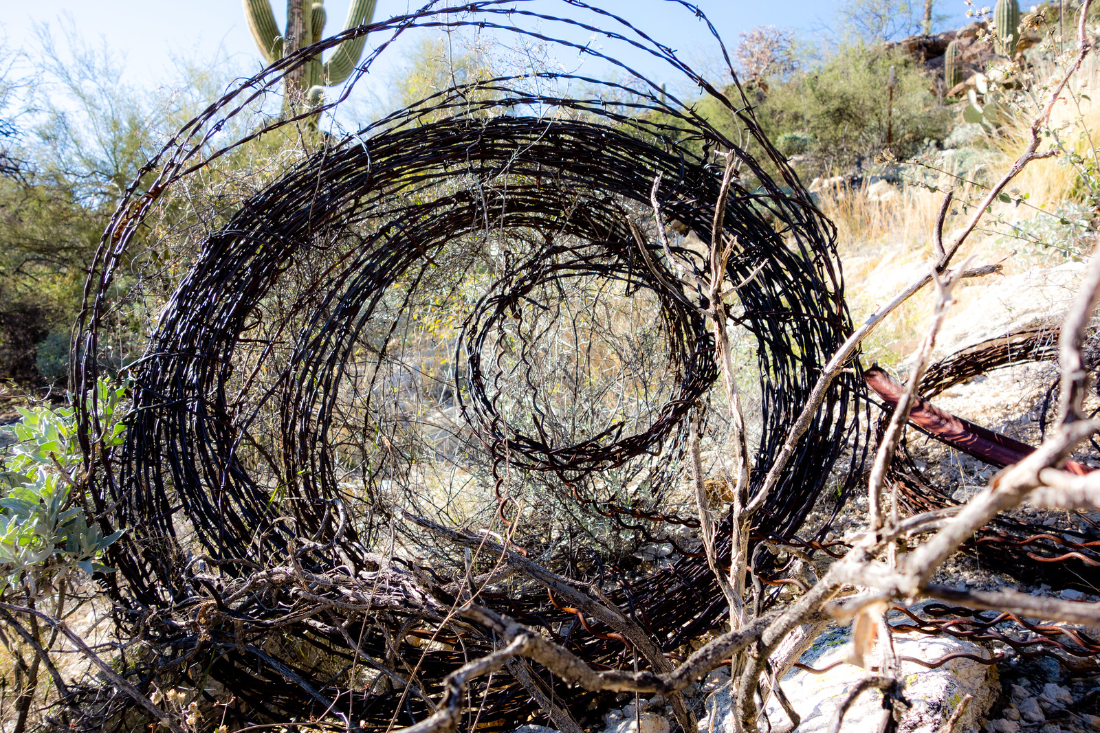
1502 Abandoned Wire
Barbed wire laying beside FR4446. February 2015.

Avenida de Suzenu Trailhead, Gnat Tank, Private Land Boundary – out and back – 8 miles, 2000′ of elevation gain and loss.