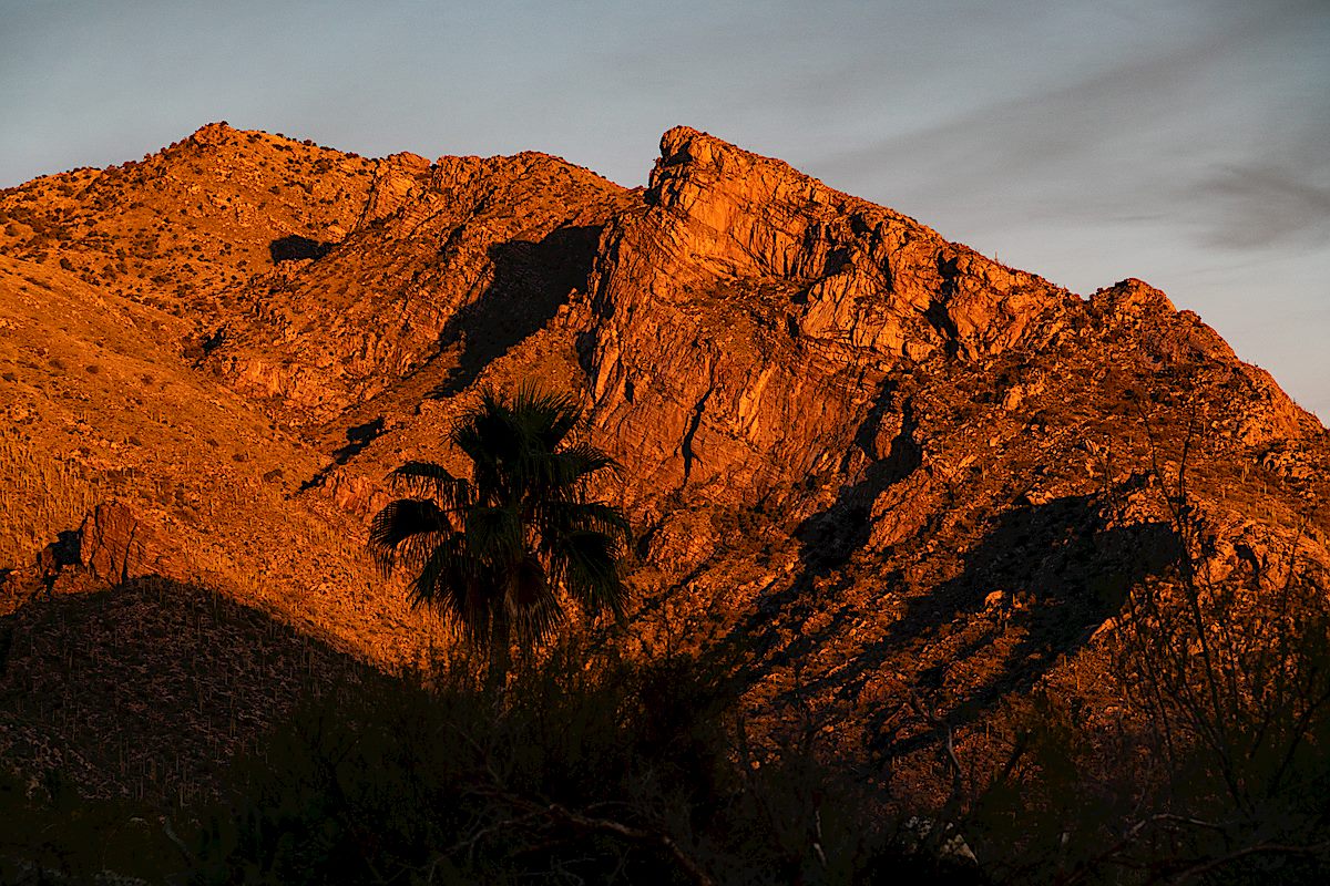
Marble Peak from the Davis Mesa Road. December 2018.
Already in Oracle on an errand I made the long drive out to the Davis Spring Trailhead stopping along the way to admire the snow covered peaks in the distance. The road to Davis Mesa seemed to be in about the same condition as previous trips – although the last few miles were muddier than expected. (A 4wd vehicle is recommended for this drive!)
Snow on the Galiuros – Rhodes Peak – from the Davis Mesa Road. December 2018.
The long drive didn’t leave much time to hike – past the surprisingly still standing trail sign, flowing water at Davis Spring, a full tank at the corral and down into Edgar Canyon – upstream along the water, downstream in the fallen Sycamore leaves – time to go…
Looking down Edgar Canyon towards Bassett Peak in the Galiuros. December 2018.Davis Spring – water in the tank in December. December 2018.Edgar Canyon. December 2018.
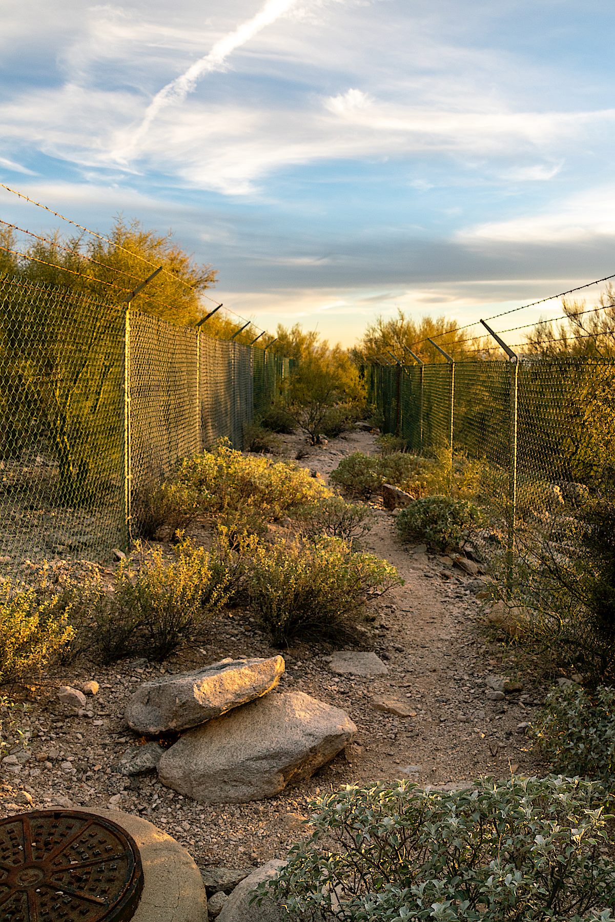
it was apparent that the growing human population of Tucson and surrounding towns had developed right up to the borders of protected areas, essentially creating an anthropogenic fence around the population of bighorn sheep that prevented them from moving to other mountain ranges that they historically occupied in the Tucson Basin, including the Silver Bell, Tucson, Rincon, and Santa Rita Mountains, which may have provided habitat for a metapopulation of bighorn sheep. This anthropogenic fence clearly added to the genetic isolation of the herd.
I don’t believe there is any intended double meaning in Krausman’s passage – but, in-between the tall chain link, it seems to beg for a re-imagining into the text of a future – strangely similar – volume on a different species:
it was apparent that the growing human population of Tucson and surrounding towns had developed right up to the borders of protected areas, essentially creating an anthropogenic fence that prevented them from moving thru the mountain ranges that they had historically used in the Tucson Basin, including the Silver Bell, Tucson, Rincon, and Santa Rita Mountains, which may have provided critical habitat for escape from their increasingly crowded technologically-dominated urban environment. This anthropogenic fence clearly added to the isolation of the human population from the natural world now so critical to their survival.
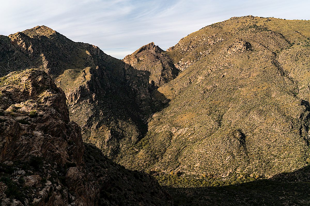
Looking across Pima Canyon to Pusch Peak, The Cleaver and Bighorn Mountain from just below Rosewood Point. December 2018.
With an official trailhead you might expect an official trail at the end of the access corridor, but there isn’t one – and with the overlapping concerns of the Pusch Ridge Wilderness and Bighorn Management Area I don’t think there ever will be. Without an official trail entrance into the wilderness is closed at this location from January 1 to April 30 – but the rest of the year you can explore the wilderness – perhaps finding the rough, informal, steep, sometimes obscure and hard to find route that winds its way towards Rosewood Point and up towards more distant destinations.
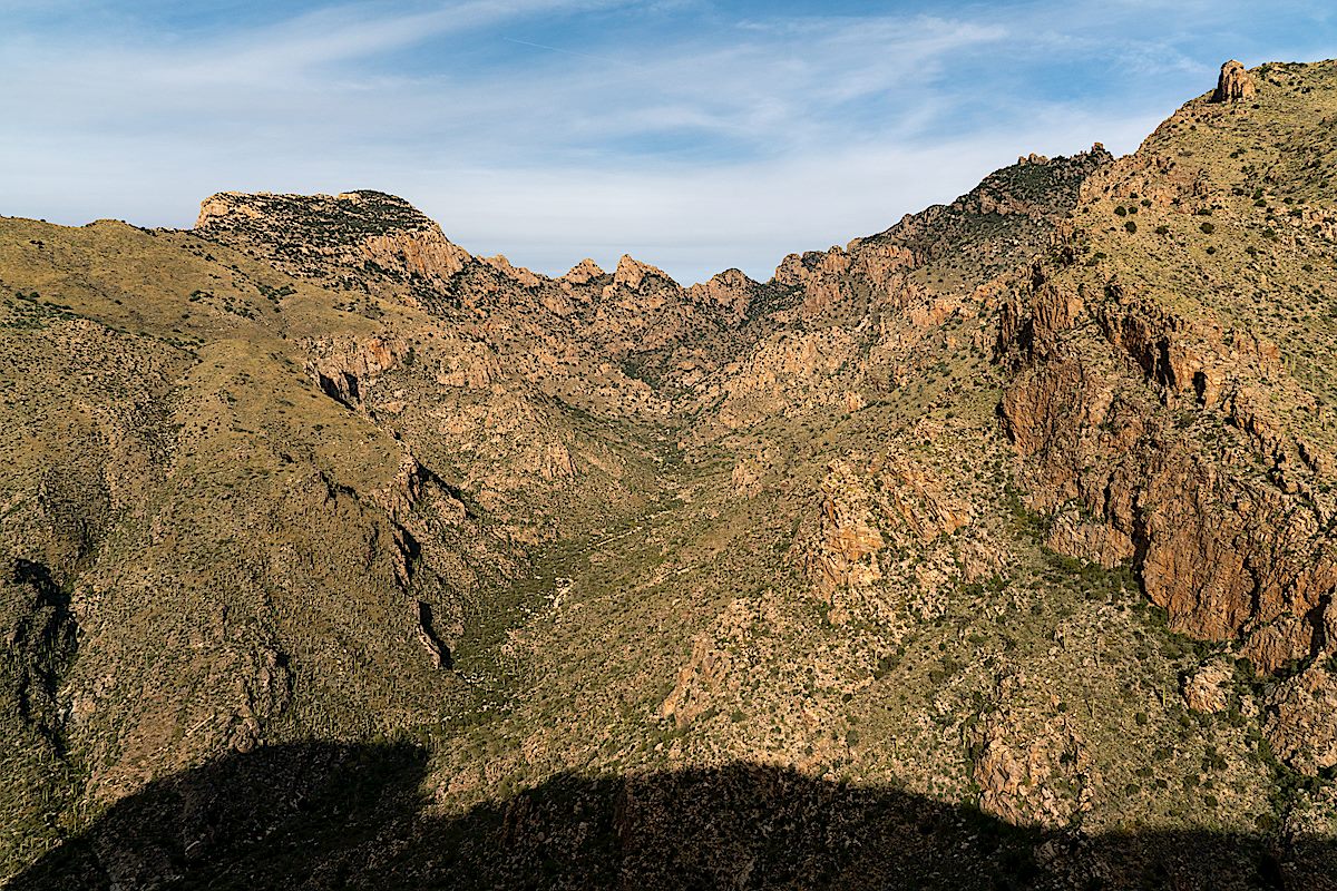
Looking up Pima Canyon from the Rosewood Point area. December 2018.
Rosewood Point is on the east side of Pima Canyon with views down into the canyon and across to the well known destinations on Pusch Ridge: Pusch Peak, The Cleaver, Bighorn Mountain and Table Mountain – and Rosewood Point is high enough that, like all good destinations in this area of the mountain, there is a thriving population of Shin Daggers to …enjoy… A minor, but worthy, destination.
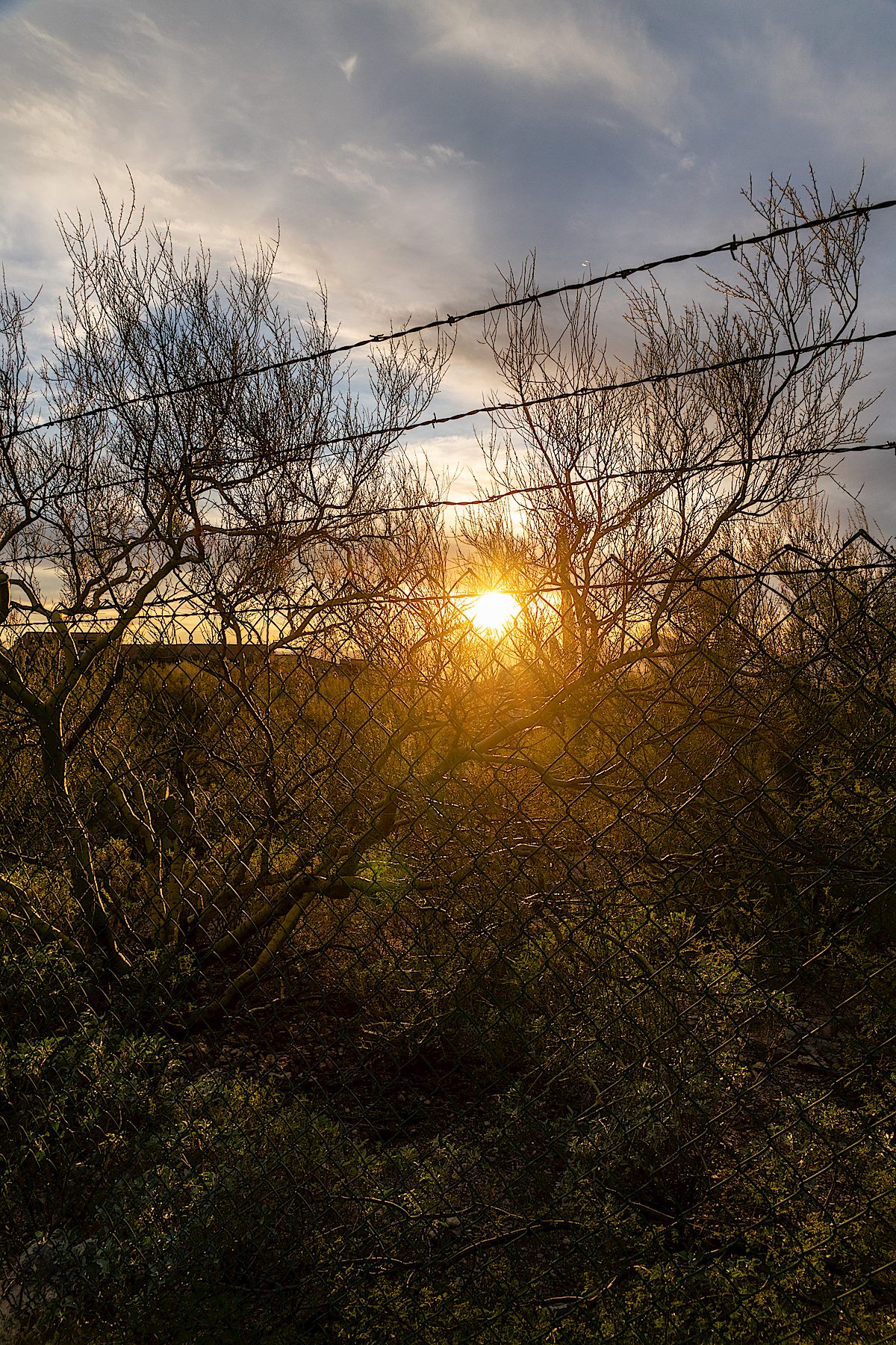
Sun and fence on the Campbell Trailhead access corridor. December 2018.Pontatoc Ridge in the Sunset from the Campbell Trailhead. December 2018.
Cotton Wood Tank with Table Mountain in the background. December 2018.
A 2017 post shows Cotton Wood Tank sadly covered in graffiti (picture below) – thankfully between then and now the graffiti has been painted over (picture above). I was slightly surprised, since this hasn’t felt like a very wet year, to see that the tank is to-the-rim full at the moment, even higher than last year.
Graffiti covering Cottonwood Tank. December 2017.
Our destination for the day was the bottom of Catchment Canyon – I thought we would have time to explore up canyon but it took longer than I guessed to reach the canyon so we touched the bottom, took some pictures and, with the Bighorn Sheep Management Area closing in two days, said goodbye-until-next-year…
Looking up at Table Mountain from the shadowed bottom of Catchment Canyon. December 2018.Buster Mountain and Alamo Canyon – Sunset. December 2018.
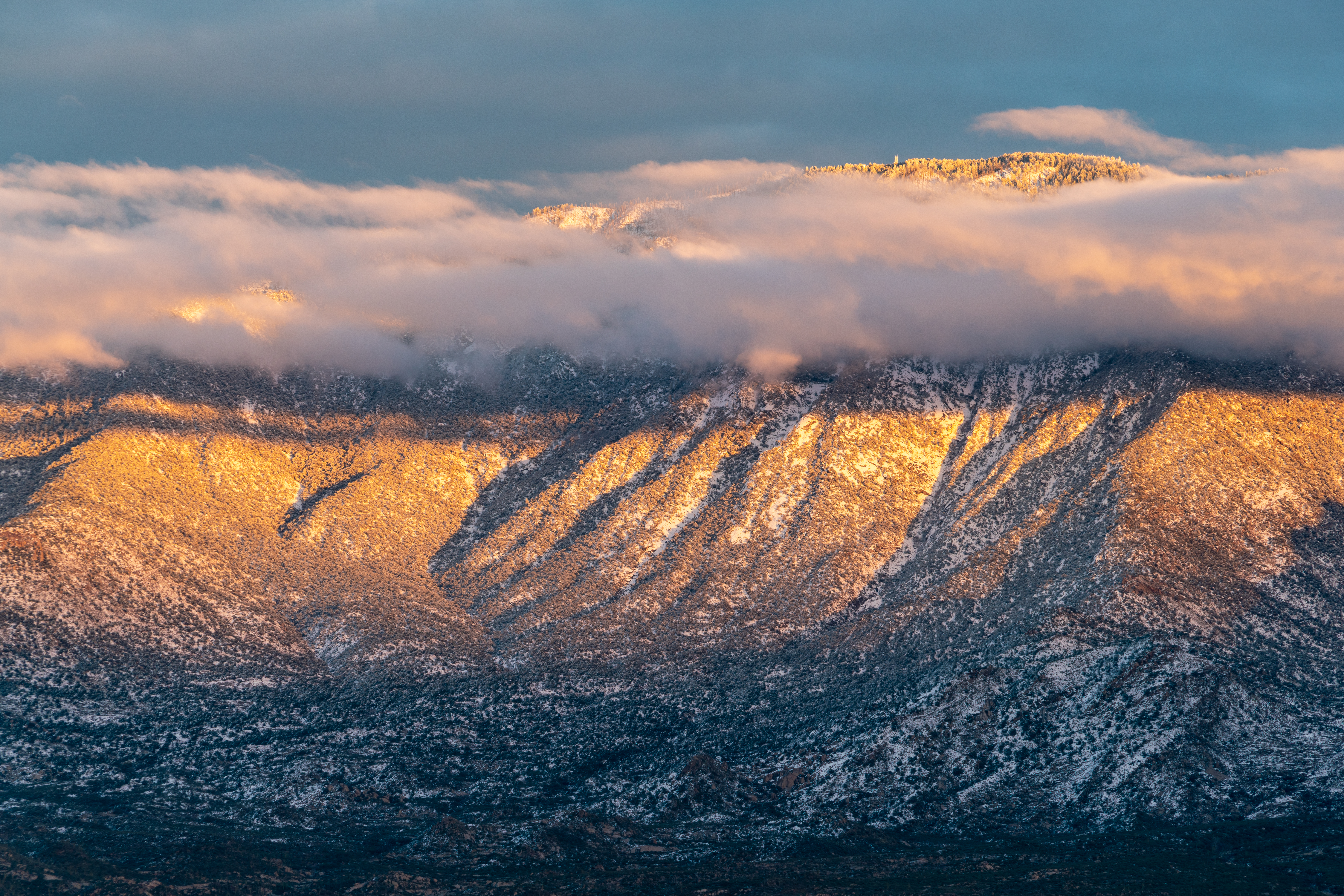
Snow on the Cholla and clouds over the Santa Catalina Mountains from the Golder Ranch North Parking Area. January 2019.
Snow in the desert! It didn’t last long, by mid-morning it was melting fast, and at the end of the day the snow line across the west side of the Santa Catalina Mountains was well above the desert floor.
2015 is the last time I took pictures of good ‘desert snow’ – in 2015 the snow line appears to have been a bit lower, Pima Canyon Trail in the Snow, 1/1/2015 has some pictures.
Beautiful to see and what a way to start the New Year!
Looking towards a snowy Charlouea Gap from the Golder Ranch Area. January 2019.Cardinal and Snowy Cholla. January 2019.Clouds swirling over Samaniego Peak. January 2019.Cathedral Rock and Window Peak above the clouds. January 2019.Sunset on Mount Lemmon. January 2019.West side of the Santa Catalina Mountains from Honey Bee Canyon Park. January 2019.
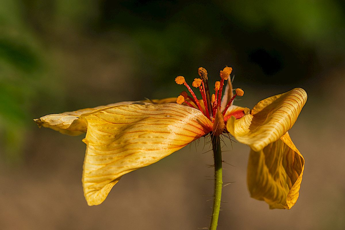
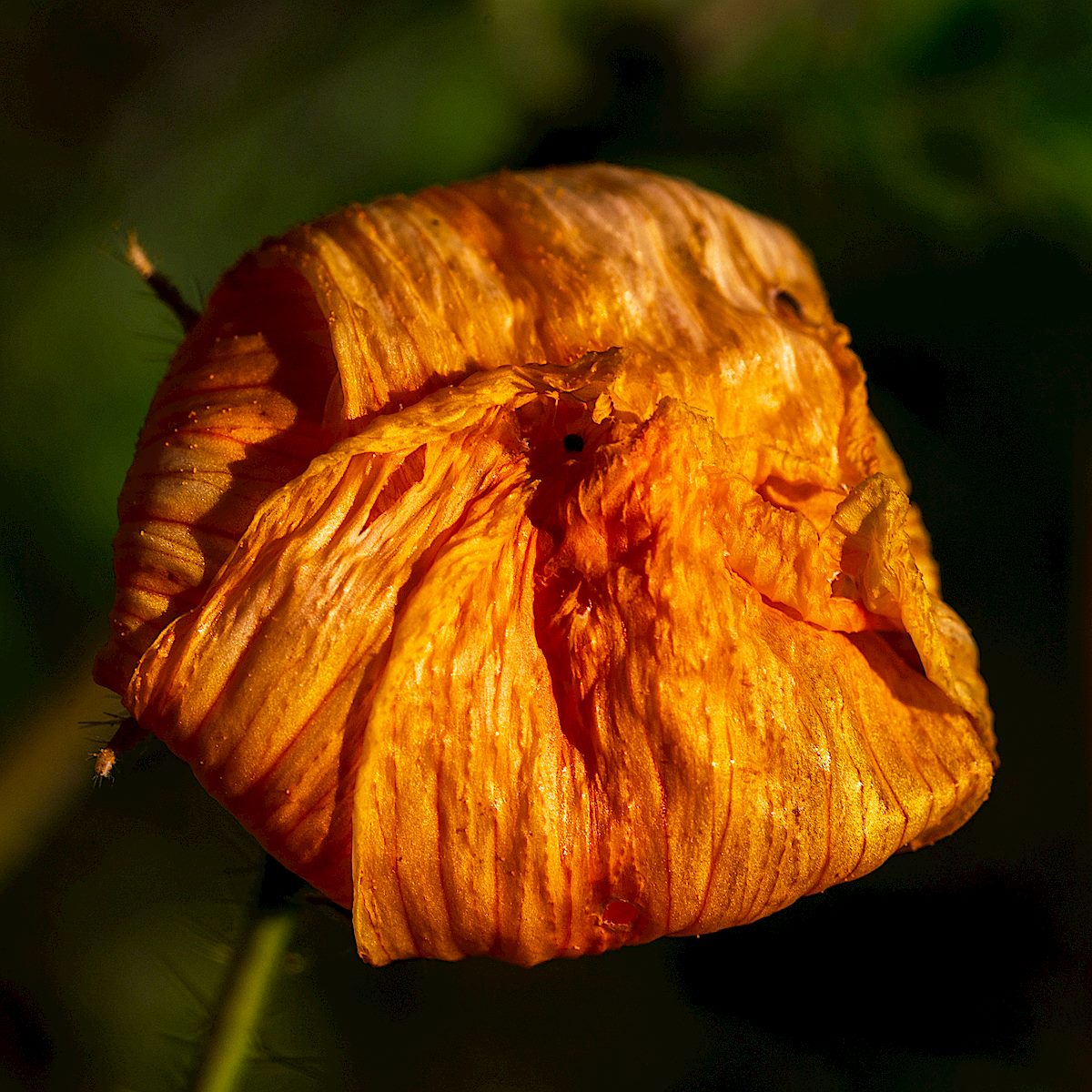
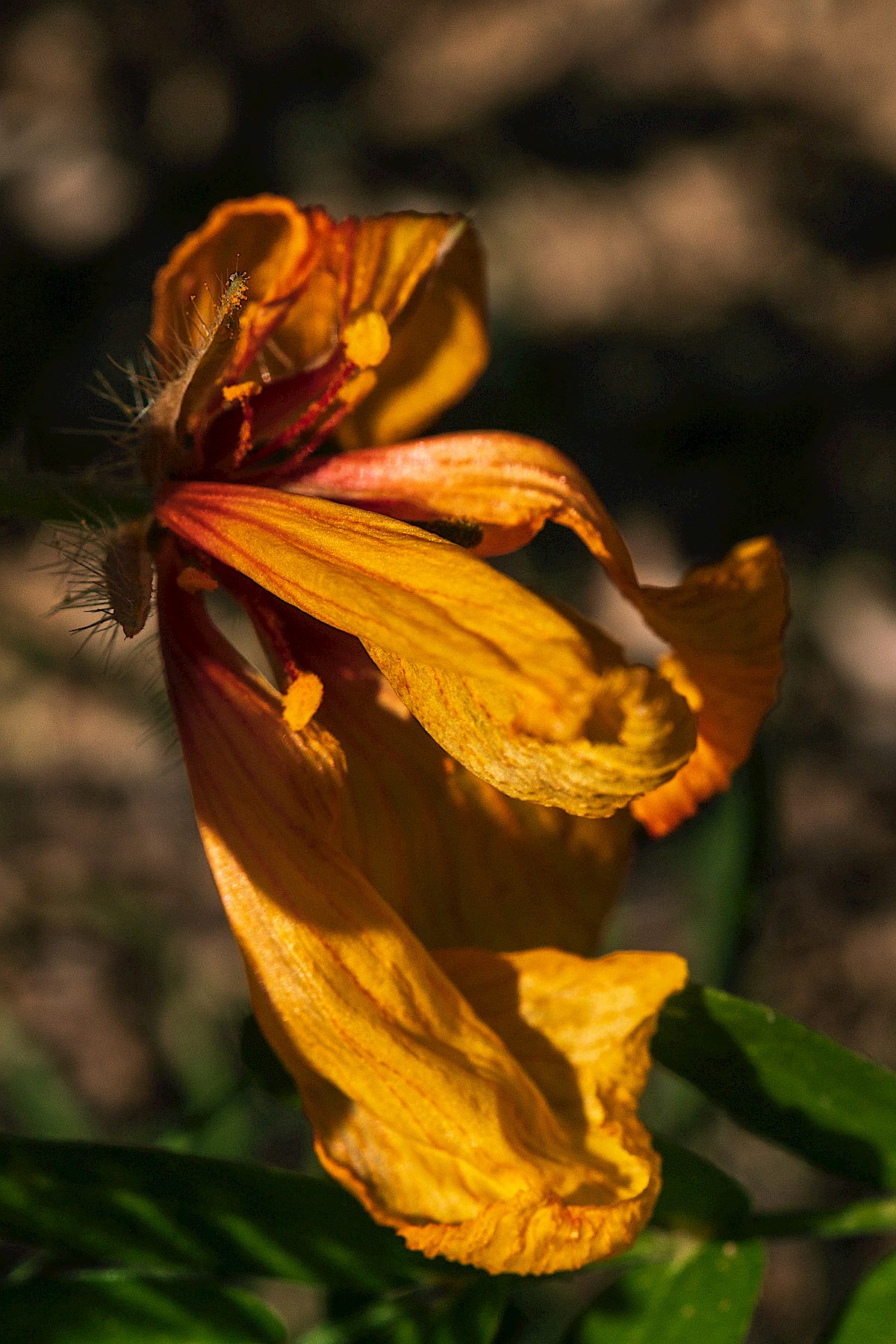
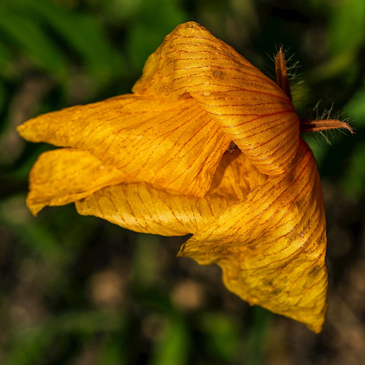
Many of the Arizona Poppies are still picture-perfect, they could be flower guide models or magazine covers, but the hot, blazing, sun is taking its toll on the small islands of flowers and some are started to fade – contorting, folding, twisting – doing what they can to make it another few days… Golder Ranch Area.
Hiding. July 2018.Twisted. July 2018.Folded. July 2018.