A Merry Buster Mountain Christmas – 12/25/2018

Light on the top of Buster Mountain. December 2018.

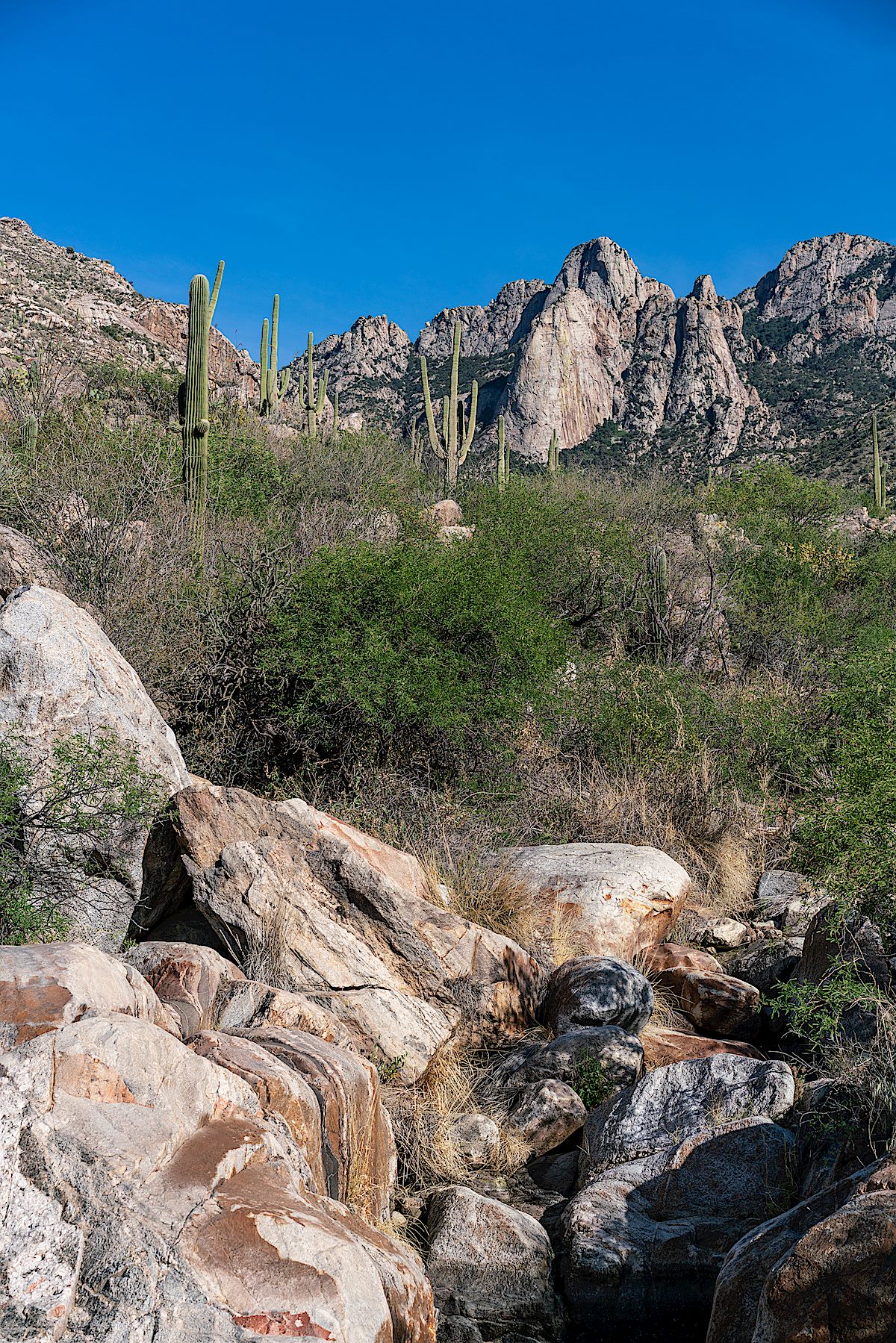
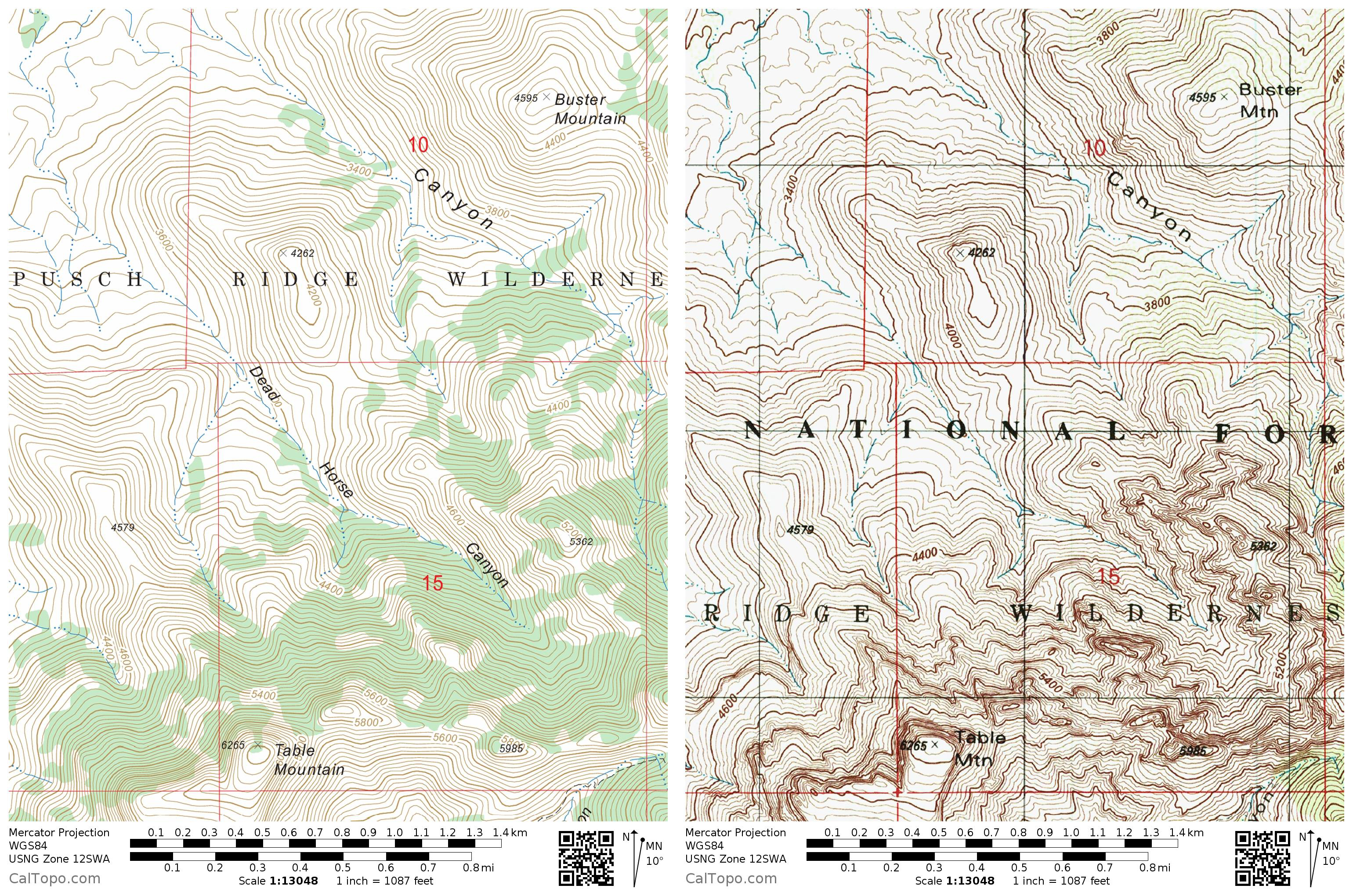
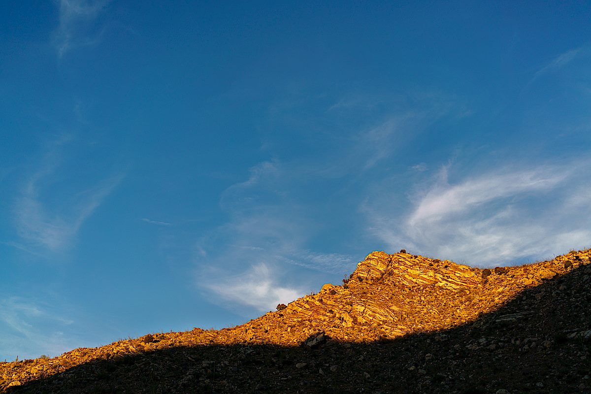
Buster Mountain – if it didn’t have a name I wonder how often this spot on the map would be visited – just one of many protrusions on the ribs running west and down from Pusch Ridge. But the question is irrelevant, this rolling hilltop is named for Buster Bailey – probably best know thru Charles Bowden’s Frog Mountain Blues – and the summit register is filled with signatures.

Leviathan Dome, Wilderness Dome and Solitude Pinnacle from Buster Mountain. December 2018.

From Frog Mountain Blues, p. 46-47:

He has become a footnote. Up on the mountain, there is a Buster Spring and above Buster Spring rolls Buster Mountain. For the old man this seems a trifle strange. He is Buster Bailey, seventy some years old, a man living in a junkyard with a household bagged at the bump. In a city of half-a-million, he is a ghost. And now they’ve gone and made him into some kind of landmark.

A new bridge over Canada del Oro on the Oracle highway swallowed the land he settled as a boy in 1927. The new Catalina State Park spreading against the north side of the range has entombed the ranches he worked and built in the thirties. Mesquite roots chew the soil of his old corrals, hackberry spreads over the spot where he once put his still, and a bulldozer has sliced off his old house lest it blemish the natural setting.

Frog Mountain Blues was published in 1987 and the details are aging – the city of half-a-million has added hundreds of thousands, nearly double depending on what you consider ‘the city’, and Catalina State Park as anything but new.

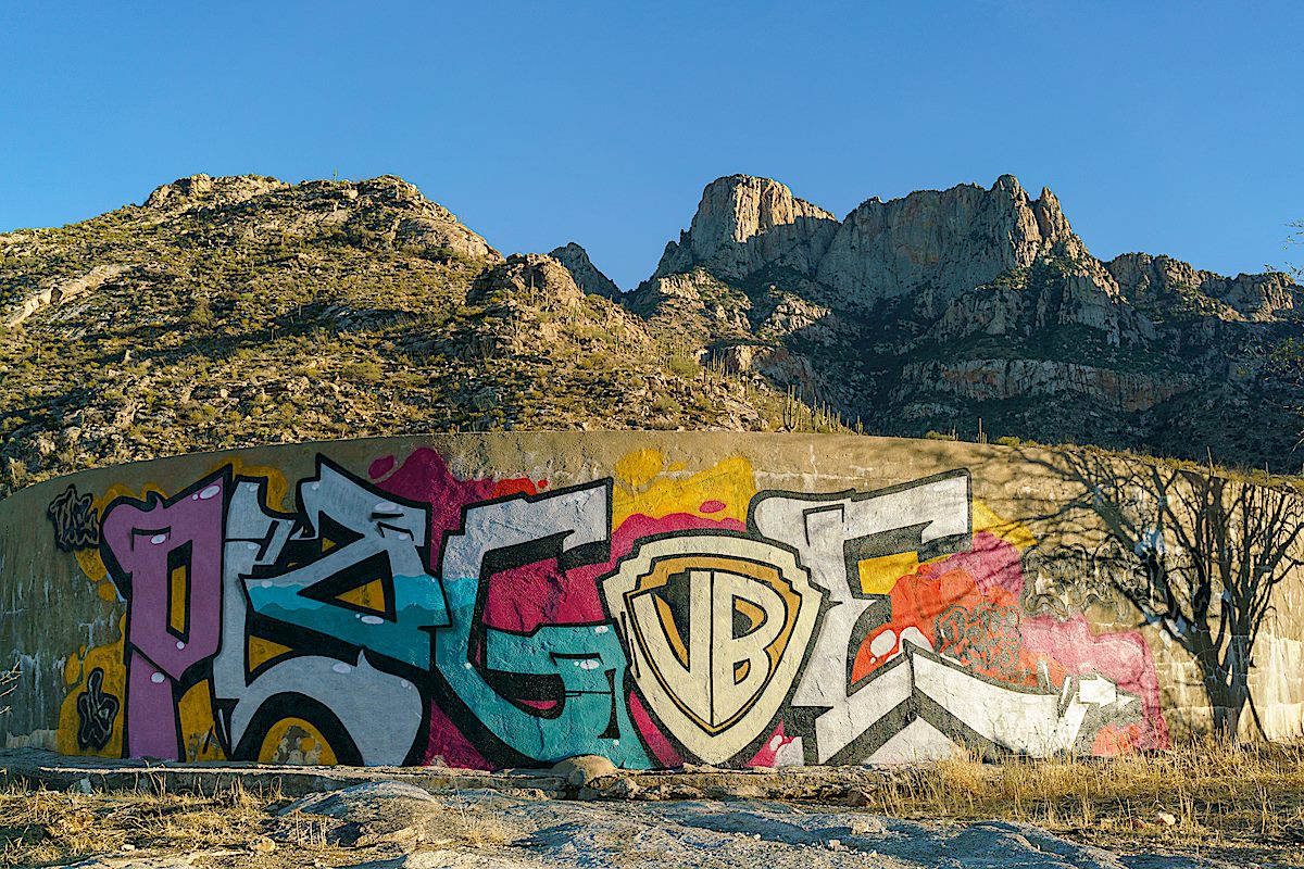
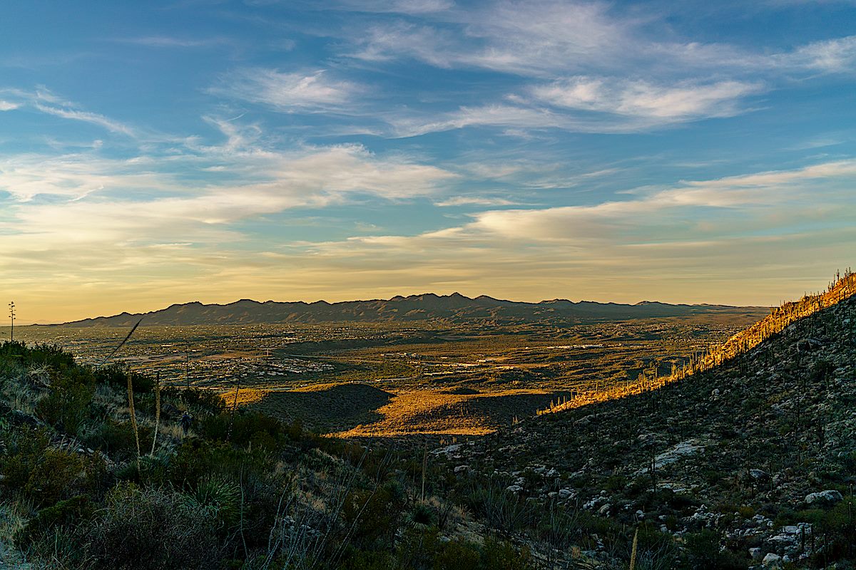
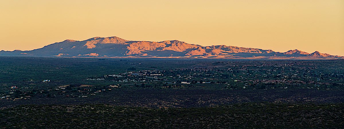
A few pages later a Jack Dykinga photograph shows bulldozers under curving utility lines, Buster Mountain in the distance on the left and Leviathan Dome rising out of Alamo Canyon on the right. Giant machines plowing thru the desert is a sort of sad ageless classic, but the 77 corridor thru Oro Valley has had so much construction and development for so long that it is hard to muster any deep emotion for a bit more or less asphalt.

Looking south along Pusch Ridge from Buster Mountain - Table Mountain, Bighorn Mountain and Pusch Peak. December 2018.
Looking south along Pusch Ridge from Buster Mountain – Table Mountain, Bighorn Mountain and Pusch Peak. December 2018.

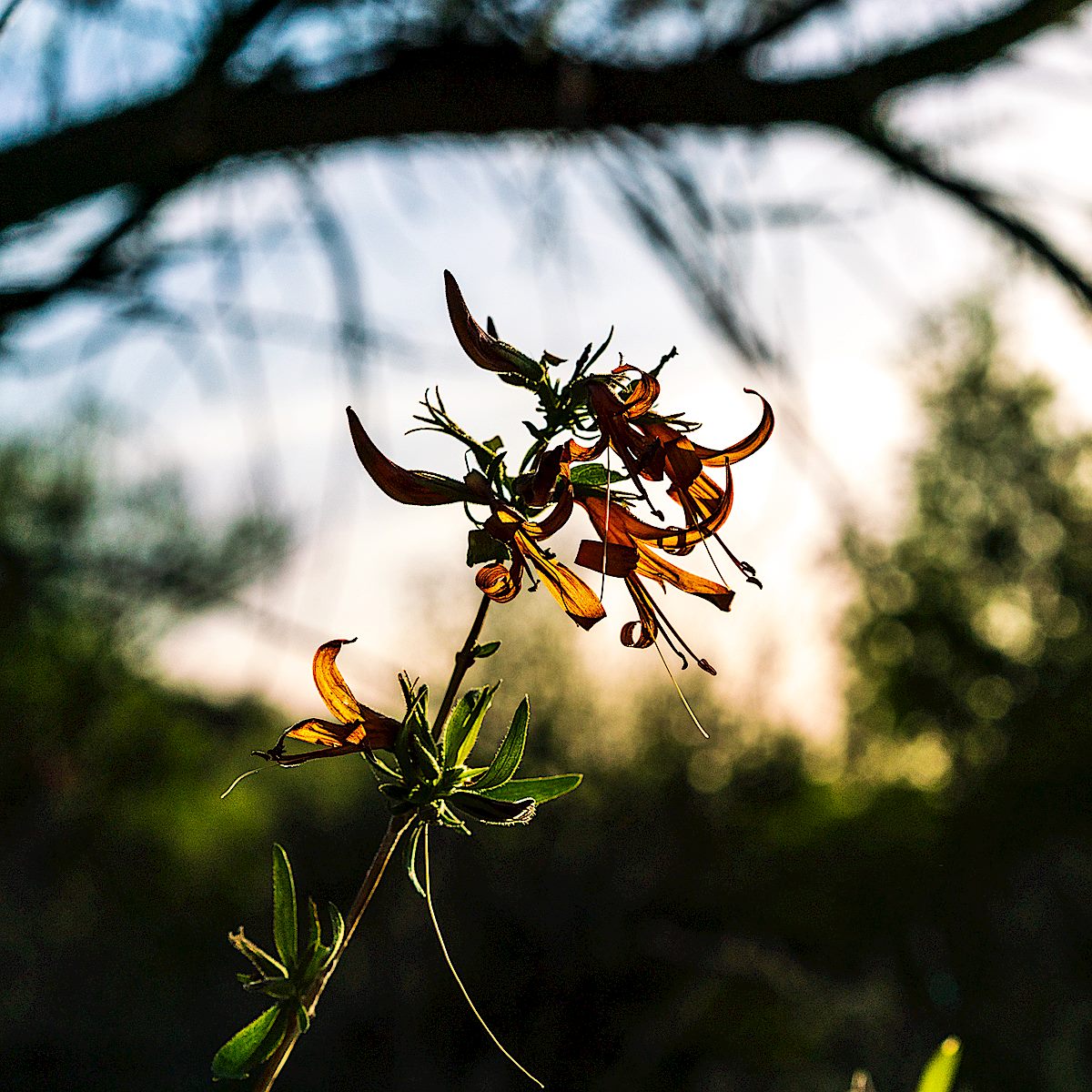
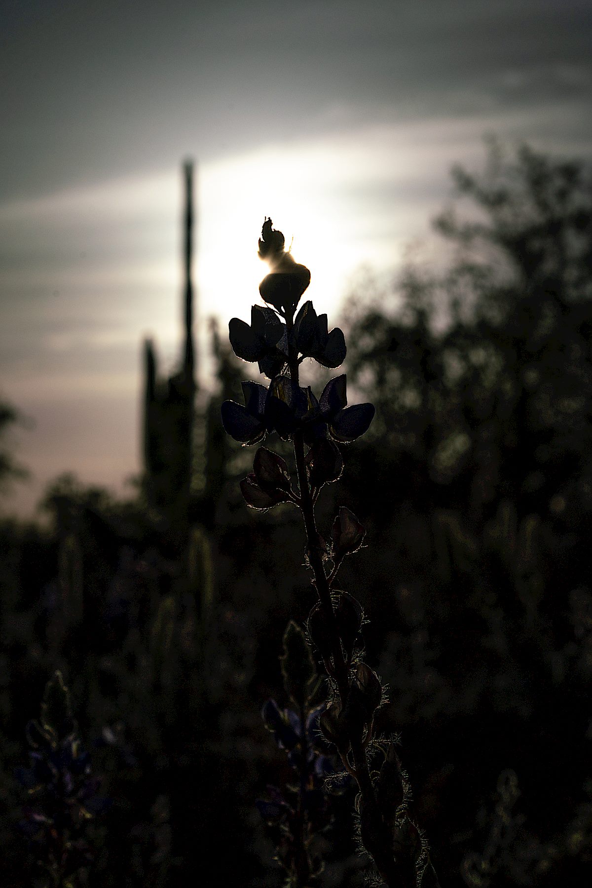
The storm has given us a gift today – clouds and light all around, rain mostly in the distance. In a few more days this area will be legally closed until May, but it will be practically closed until next winter when the summer heat recedes. It is a privilege to be on this landmark, unseen ghosts on the empty mountain side, alone above the city of just-over-a-million.

Watching the clouds and storm on the way down from Buster Mountain. December 2018.
Samaniego Peak from the trail up to Buster Mountain. December 2018.

Cottonwood Tank, Touching Catchment Canyon – 12/30/2018

Cotton Wood Tank with Table Mountain in the background. December 2018.

A 2017 post shows Cotton Wood Tank sadly covered in graffiti (picture below) – thankfully between then and now the graffiti has been painted over (picture above). I was slightly surprised, since this hasn’t felt like a very wet year, to see that the tank is to-the-rim full at the moment, even higher than last year.

Graffiti covering Cottonwood Tank. December 2017.

Our destination for the day was the bottom of Catchment Canyon – I thought we would have time to explore up canyon but it took longer than I guessed to reach the canyon so we touched the bottom, took some pictures and, with the Bighorn Sheep Management Area closing in two days, said goodbye-until-next-year…

Looking up at Table Mountain from the shadowed bottom of Catchment Canyon. December 2018.
Buster Mountain and Alamo Canyon - Sunset. December 2018.
Buster Mountain and Alamo Canyon – Sunset. December 2018.

Cottonwood Tank – 11/24/2017

Water, reflection and Table Mountain - Cottonwood Tank. December 2017.
Water, reflection and Table Mountain – Cottonwood Tank. December 2017.

Cottonwood Tank is located on the west side of the Pusch Ridge Wilderness south of Catalina State Park. It appears that Arizona Game and Fish did maintenance work in 2017 and the tank is currently holding quite a bit of water.

Sadly, also apparently in 2017, a substantial amount of the tank is covered in graffiti.

Graffiti covering Cottonwood Tank. December 2017.
A saguaro in the sunset - on the hike out from Cottonwood Tank. December 2017.
A saguaro in the sunset – on the hike out from Cottonwood Tank. December 2017.
A Phainopepla. December 2017.
Cottonwood Tank is in the lower-center of the map - inside the Pusch Ridge Wilderness, outside of Catalina State Park. January 2018.
Cottonwood Tank is in the lower-center of the map – inside the Pusch Ridge Wilderness, outside of Catalina State Park. January 2018.

Last of 2017 in Dead Horse Canyon – 12/25/2017 and 12/31/2017

Looking up at Table Mountain from Dead Horse Canyon. December 2017.

Dead Horse Canyon – Frog Mountain Blues – p. 61:

Buster looks at the mountains and shifts to teaching the old geography, one that has slightly different notes from the modern hiking maps. The first gouge to the west he calls Alamo Canyon because there used to be a big cottonwood up there. Then comes Cement Tank because they put a trough in there. After that is Dead Horse for a dead horse found one day. Then Montrose on whose upper reaches Buster Spring bubbles away. And over the ridge from that is Romero for the old ranching family that came into the county in the nineteenth century. When Buster arrived in the 1920s they were still here, still ranching. And they became his neighbors.

The USFS's FSTopo map on the left with Dead Horse Canyon labeled - the USGS Topo on the right without Dead Horse Canyon labeled. January 2018.
The USFS’s FSTopo map on the left with Dead Horse Canyon labeled – the USGS Topo on the right without Dead Horse Canyon labeled. January 2018.
A pool in Dead Horse Canyon. December 2017.
Point 4262 above Deadhorse Canyon. December 2017.

Dead Horse Canyon is in the Santa Catalina Bighorn Sheep Management Area – lacking an official trail travel into this area is prohibited from January until May, but the summer heat means that it will be next winter before a pleasant visit is possible.

Bighorns have been documented in Dead Horse Canyon for many years – according to And Then There were None 8% of the Bighorn Observations made from 1936 to 1978 were in Dead Horse Canyon (p.88) and the photo shown below (of bighorn in Dead Horse Canyon) is described as “the largest number of sheep ever photographed as a group in the Santa Catalinas”. In 1972 bighorn permits were issued to 5 hunters, 2 kills were made – one at the head of Dead Horse Canyon (the last permits issued were in 1992).

An excerpt from page 4 of the AZGFD 2011 Bighorn Restoration Project Proposal showing a photo captioned in part as
An excerpt from page 4 of the AZGFD 2011 Bighorn Restoration Project Proposal showing a photo described as “the largest number of sheep ever photographed as a group in the Santa Catalinas” in Paul Krausman’s And Then There Were None – photo by Joe Sheehy. Excerpt made January 2018.
Looking down and out Dead Horse Canyon. December 2017.
Looking down and out Dead Horse Canyon, the Tortolita Mountains in the distance. December 2017.
Black Mountain in the sunset light from the mouth of Dead Horse Canyon. December 2017.