From Oro Valley – 1/6/2019

Table Mountain from N. Oracle Road (77) near N 1st Avenue in Oro Valley. January 2019.

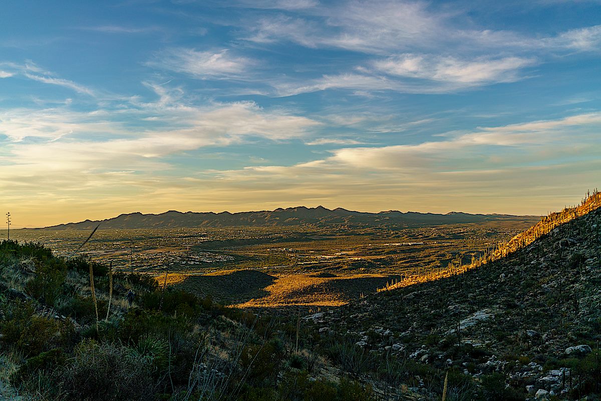
Pictures from Oro Valley – from Oracle Road near First Ave, the Oro Valley Public Library and Naranja Park – I would rather be hiking in the mountains than shooting from town, but different days present different opportunities and Oro Valley has some amazing views of the Santa Catalina Mountains!
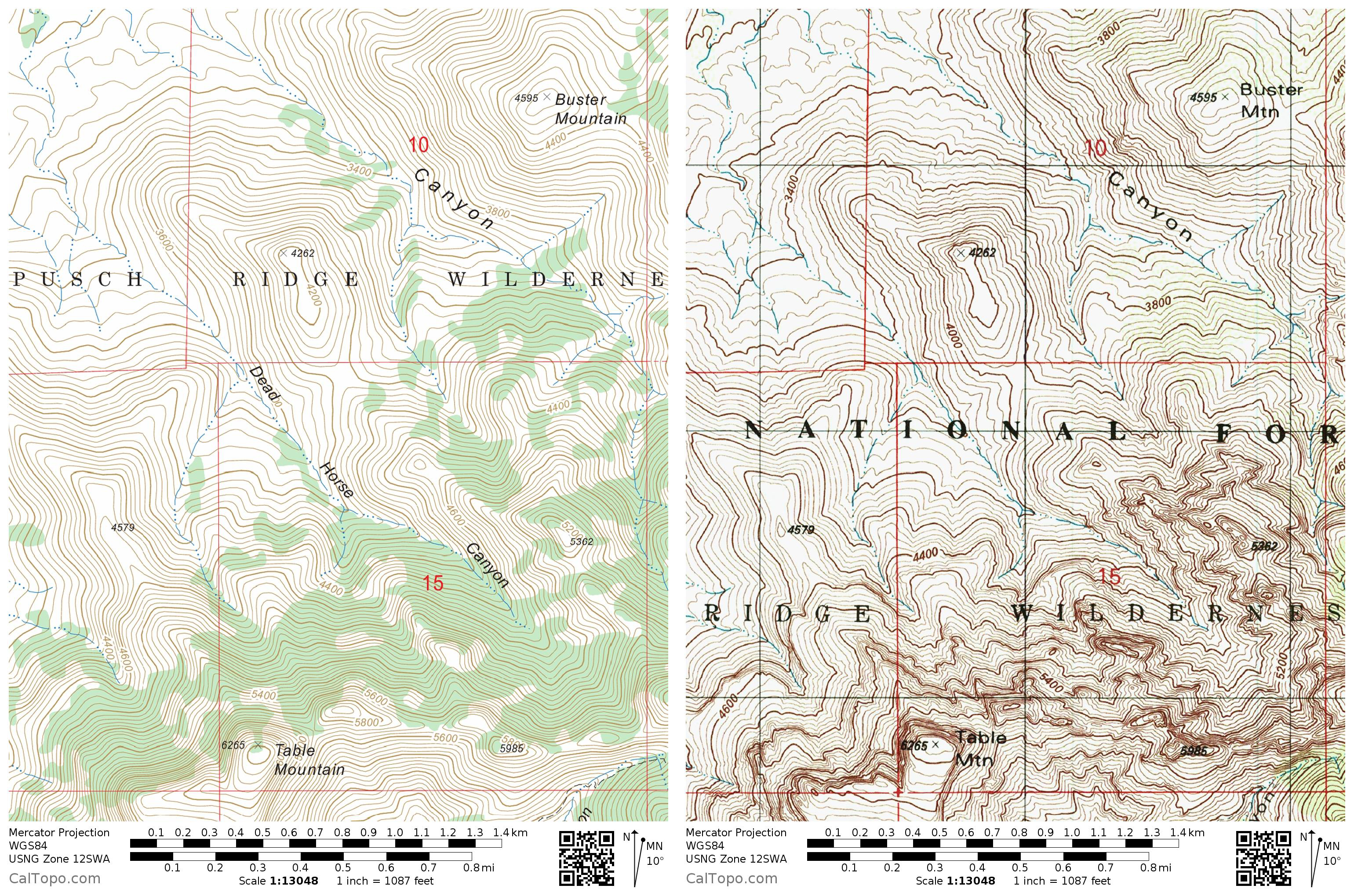
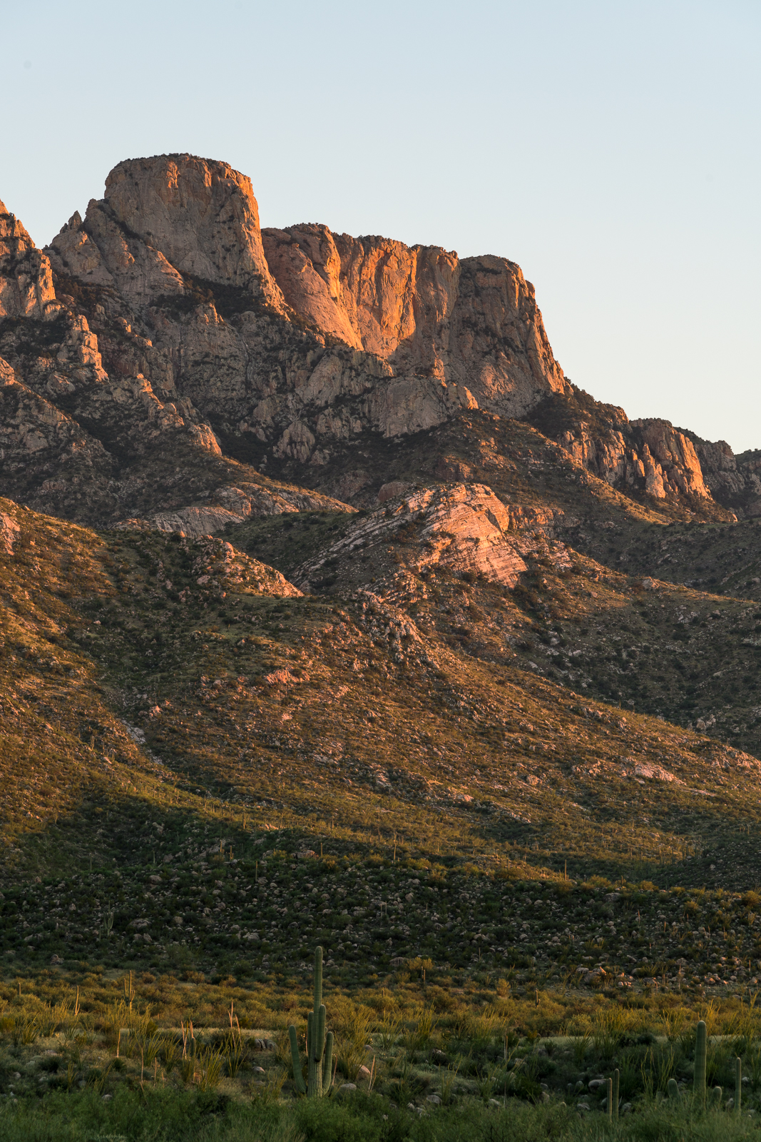
Clouds around Cathedral Rock from the Oro Valley Public Library. January 2019.
Pusch Peak from Naranja Park in Oro Valley. January 2019.
Cathedral Rock Sunset from Naranja Park in Oro Valley. January 2019.
The Cleaver in Shadow and The Thumb peaking over Pusch Ridge in the Sunset Light - from Naranja Park in Oro Valley. January 2019.
The Cleaver in Shadow and The Thumb peaking over Pusch Ridge in the Sunset Light – from Naranja Park in Oro Valley. January 2019.

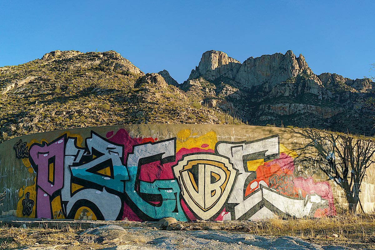
Cottonwood Tank – 11/24/2017

Water, reflection and Table Mountain - Cottonwood Tank. December 2017.
Water, reflection and Table Mountain – Cottonwood Tank. December 2017.

Cottonwood Tank is located on the west side of the Pusch Ridge Wilderness south of Catalina State Park. It appears that Arizona Game and Fish did maintenance work in 2017 and the tank is currently holding quite a bit of water.

Sadly, also apparently in 2017, a substantial amount of the tank is covered in graffiti.

Graffiti covering Cottonwood Tank. December 2017.
A saguaro in the sunset - on the hike out from Cottonwood Tank. December 2017.
A saguaro in the sunset – on the hike out from Cottonwood Tank. December 2017.
A Phainopepla. December 2017.
Cottonwood Tank is in the lower-center of the map - inside the Pusch Ridge Wilderness, outside of Catalina State Park. January 2018.
Cottonwood Tank is in the lower-center of the map – inside the Pusch Ridge Wilderness, outside of Catalina State Park. January 2018.

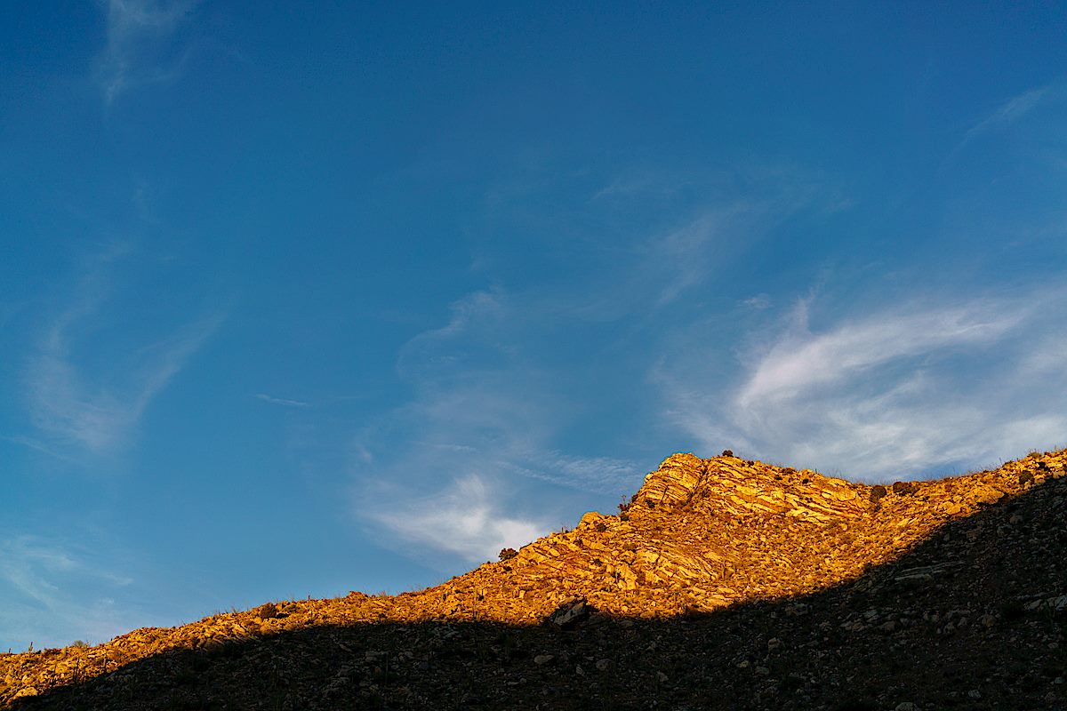
Last of 2017 in Dead Horse Canyon – 12/25/2017 and 12/31/2017

Looking up at Table Mountain from Dead Horse Canyon. December 2017.

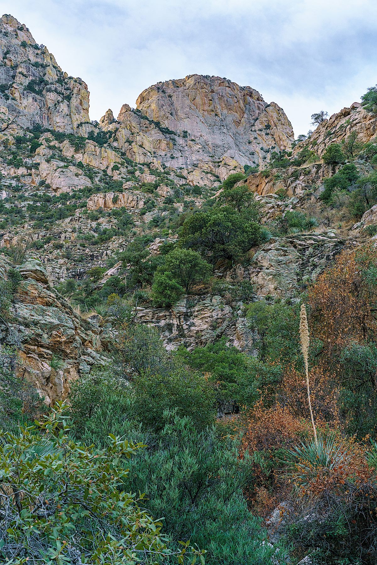
Dead Horse Canyon – Frog Mountain Blues – p. 61:

Buster looks at the mountains and shifts to teaching the old geography, one that has slightly different notes from the modern hiking maps. The first gouge to the west he calls Alamo Canyon because there used to be a big cottonwood up there. Then comes Cement Tank because they put a trough in there. After that is Dead Horse for a dead horse found one day. Then Montrose on whose upper reaches Buster Spring bubbles away. And over the ridge from that is Romero for the old ranching family that came into the county in the nineteenth century. When Buster arrived in the 1920s they were still here, still ranching. And they became his neighbors.

The USFS's FSTopo map on the left with Dead Horse Canyon labeled - the USGS Topo on the right without Dead Horse Canyon labeled. January 2018.
The USFS’s FSTopo map on the left with Dead Horse Canyon labeled – the USGS Topo on the right without Dead Horse Canyon labeled. January 2018.
A pool in Dead Horse Canyon. December 2017.
Point 4262 above Deadhorse Canyon. December 2017.

Dead Horse Canyon is in the Santa Catalina Bighorn Sheep Management Area – lacking an official trail travel into this area is prohibited from January until May, but the summer heat means that it will be next winter before a pleasant visit is possible.

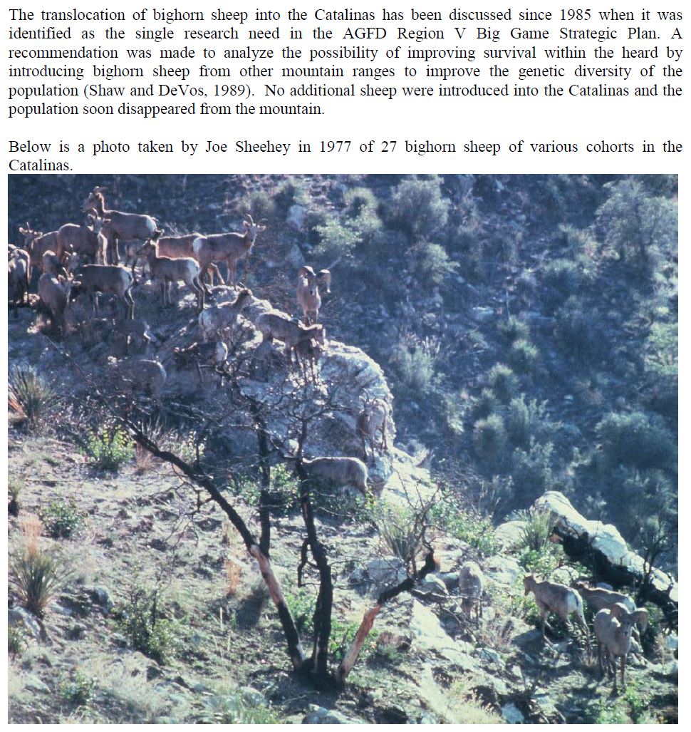
Bighorns have been documented in Dead Horse Canyon for many years – according to And Then There were None 8% of the Bighorn Observations made from 1936 to 1978 were in Dead Horse Canyon (p.88) and the photo shown below (of bighorn in Dead Horse Canyon) is described as “the largest number of sheep ever photographed as a group in the Santa Catalinas”. In 1972 bighorn permits were issued to 5 hunters, 2 kills were made – one at the head of Dead Horse Canyon (the last permits issued were in 1992).

An excerpt from page 4 of the AZGFD 2011 Bighorn Restoration Project Proposal showing a photo captioned in part as
An excerpt from page 4 of the AZGFD 2011 Bighorn Restoration Project Proposal showing a photo described as “the largest number of sheep ever photographed as a group in the Santa Catalinas” in Paul Krausman’s And Then There Were None – photo by Joe Sheehy. Excerpt made January 2018.
Looking down and out Dead Horse Canyon. December 2017.
Looking down and out Dead Horse Canyon, the Tortolita Mountains in the distance. December 2017.
Black Mountain in the sunset light from the mouth of Dead Horse Canyon. December 2017.

Double Rainbow, Light, Shadows, Linda Vista Trails – 2/19/2017

Double Rainbow from the Linda Vista Trails. February 2017.

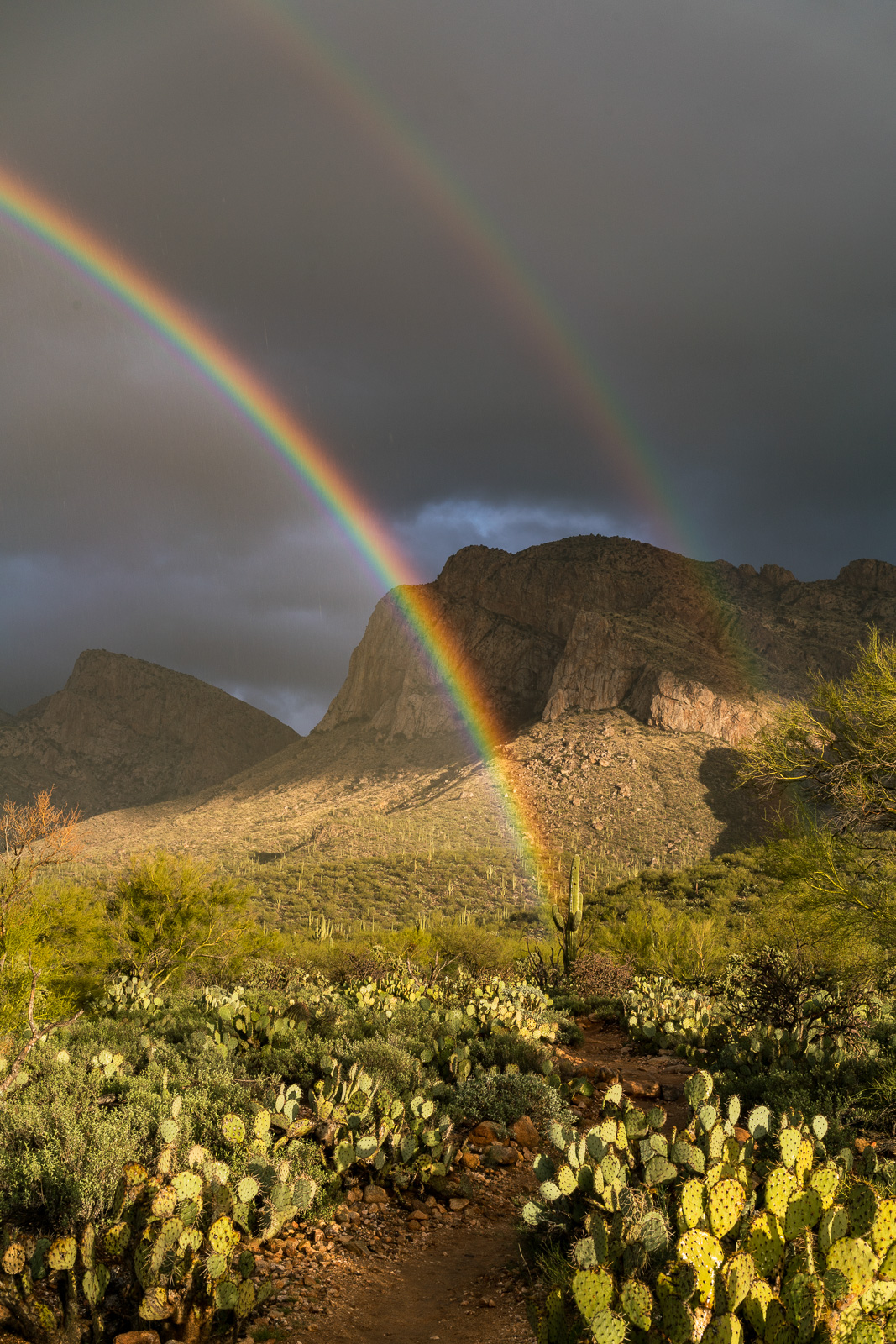
I am constantly amazed how much there is to see on the Linda Vista Trails – it is easy to focus on the noise and proximity to town, but if nothing else the views make the Linda Vista Trailhead a worthy destination…
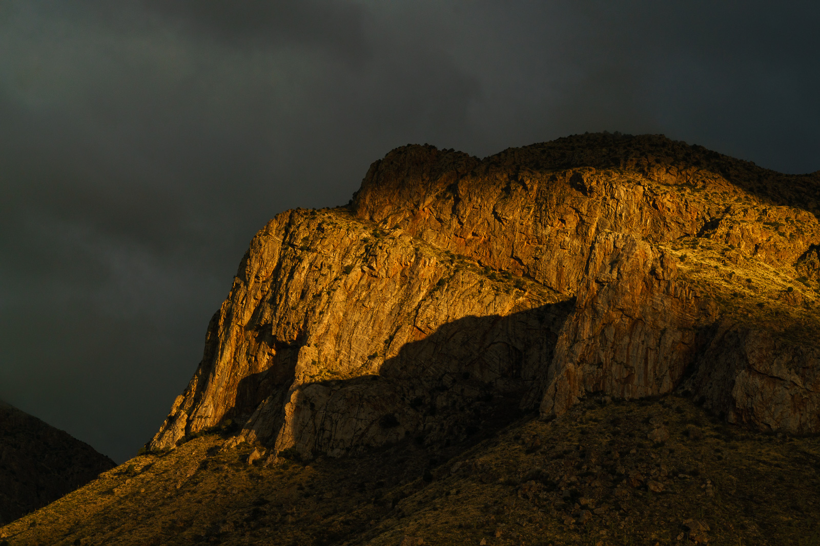
Cliffs below Pusch Peak from the Linda Vista Trails. February 2017.
Shadows-light, storm-clouds, Pusch Ridge. February 2017.

Sunsets – 8/28/2016

Table Mountain. August 2016.
Sunset from the Sutherland Trail in Catalina State Park. August 2016.
Sunset near the mouth of Romero Canyon. August 2016.

Sunsets – all taken in or near Catalina State Park, all taken on easy to find trails, all taken less than an hour from the trailhead!