A beautiful Santa Catalina sunset from the The Cordones north of Catalina. August 2016.Sunset from The Cordones north of Catalina. August 2016.
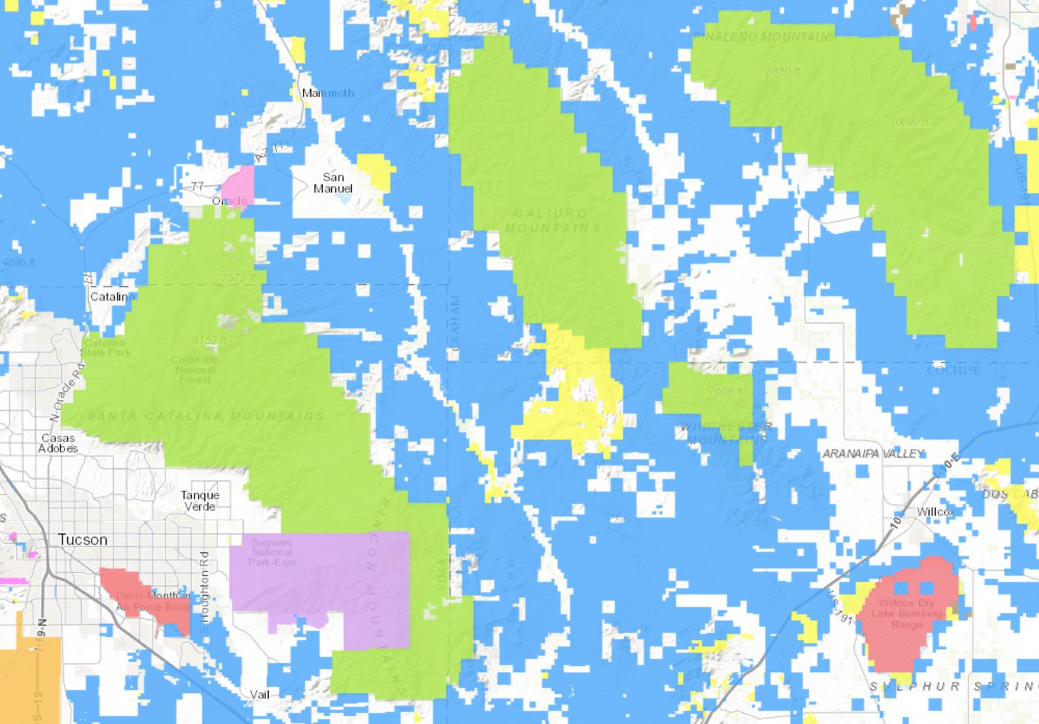
It took many years for me to realize that Arizona State Trust Land is an important portion of the lands that give Southern Arizona its character and feel – a glance at the Arizona State Trust Land Parcel Viewer shows (in blue) the large amount of Arizona State Trust Land around, at the border of and between Southern Arizona’s Sky Islands. The east side of the Santa Catalina Mountains would be a very different place without public access (for a fee) to the land that is currently owned by the State Trust.
A screen shot from the Arizona State Land Trust Parcel Viewer – the colored areas are Arizona State Trust Land. August 2016.
North of Catalina, just past E. Saddlebrooke Blvd, a section of State Trust land covers an area labeled ‘The Cordones’. Several roads lead out into the area and in some spots the combinations of ridges, washes and hills conspire to hide many of the nearby roads and homes – occasionally making the area feel a bit more remote than it really is. I intended to catch the sunset – but being there for a storm was just good luck…
Lightning and storm over the Santa Catalina Mountains. August 2016.Lightning over the Santa Catalina Mountains. August 2016.
Headless Windmill in Geesaman Wash at ‘Deep Well’. August 2016.
As a result of the mining and ranching history on the east side of the Santa Catalina Mountains there are a seemingly infinite number of dirt roads criss-crossing the landscape. One of these roads splits off from the Black Hills Mine road and works along the ridge between the Geesaman and Stratton Washes. Below the road, in Geesaman Wash, at a site labeled ‘Deep Well’ a headless windmill stands near a large, impressively full, water tank – the solar panels that replaced the windmill sit below the old tower.
Finley Geesaman, 1830-1917, staked a number of claims in the Old Hat Mining district and this wash and a mine group higher on the mountain bear his name. A short obituary appeared in the Arizona Daily Star on December 18, 1917:
Finley Geesaman.
Up to 9 o’clock last night, pioneers of Tucson visited the Reilly Undertaking parolrs [sic] to take a last look at the long familiar features of Finley Gessaman [sic], who died Saturday night at a local hospital after a brief illness, at the age of 87. The remains will be shipped this morning to his boyhood home, Quincy, Ill., to rest beside the graves of his father and mother. Mr. Gessaman is survived by a number of nephews and nieces, beneficiaries under his will of an estate estimated at about $60,000. His holdings include a number of claims in the Catalina mountains. Once the owner of the old Condon mines, he sold them to the Copper Queen Consolidated Mining company.
There are two photos of F. Geesaman in the Geesaman Family Newsletter #11 (Volume III, July, 1977, No. 3) – a portrait and a photo of Geesaman in the door of a cabin in the Santa Catalina Mountains. These photos accompany a letter written by Geo. P. Myers to Miss Amanda F. Geesaman of Rouzerville, Pa. after Geesaman’s death.
A horseshoe in the Deep Well area of Geesaman Wash. August 2016.A flower surviving in the middle of Black Hills Mine Road. August 2016.Marked on the map as ‘Drill Hole’ this small site sits on the slope of Alder Canyon below Black Hills Mine Road. August 2016.
Near the San Pedro River, between Redington and Cascabel Road, at the edge of Redfield Canyon, across from the Carlink Ranch, in the ‘town’ of Redington, with the top of a windmill visible over the trees and protected by a cholla stands a lonely phone. There are roads, homes and ranches along the San Pedro River so I suppose the phone makes a certain kind of sense – but mostly it just seems strange.
Crossing the San Pedro River on the way from Redington Road to the town of Redington and the Carlink Ranch – cows in the distance. July 2016.
The Redfields settled in the San Pedro River Valley in the 1870s when Apache Raids were a concern and soldiers traveled from Fort Lowell over Redington Pass to protect residents. In 1879 the Redfields petitioned for a post office to be established, but the site could not be named after a living person so the name ‘Redington’ was used instead of Redfield. In the late 1880s Henry Redfield sold his ranch and moved to Benson – the ranch was eventually acquired by the Bayless family who had established the Carlink Ranch 1884. The Carlink Ranch is still operating today, run by descendants of William Bayless. The Post Office operated until 1940 and at one time the town had both a school and a general store.
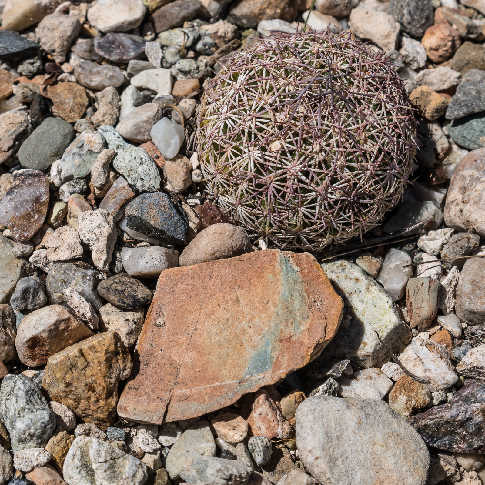
Cactus and stone – exploring near the Black Hills Mine Road. July 2016.
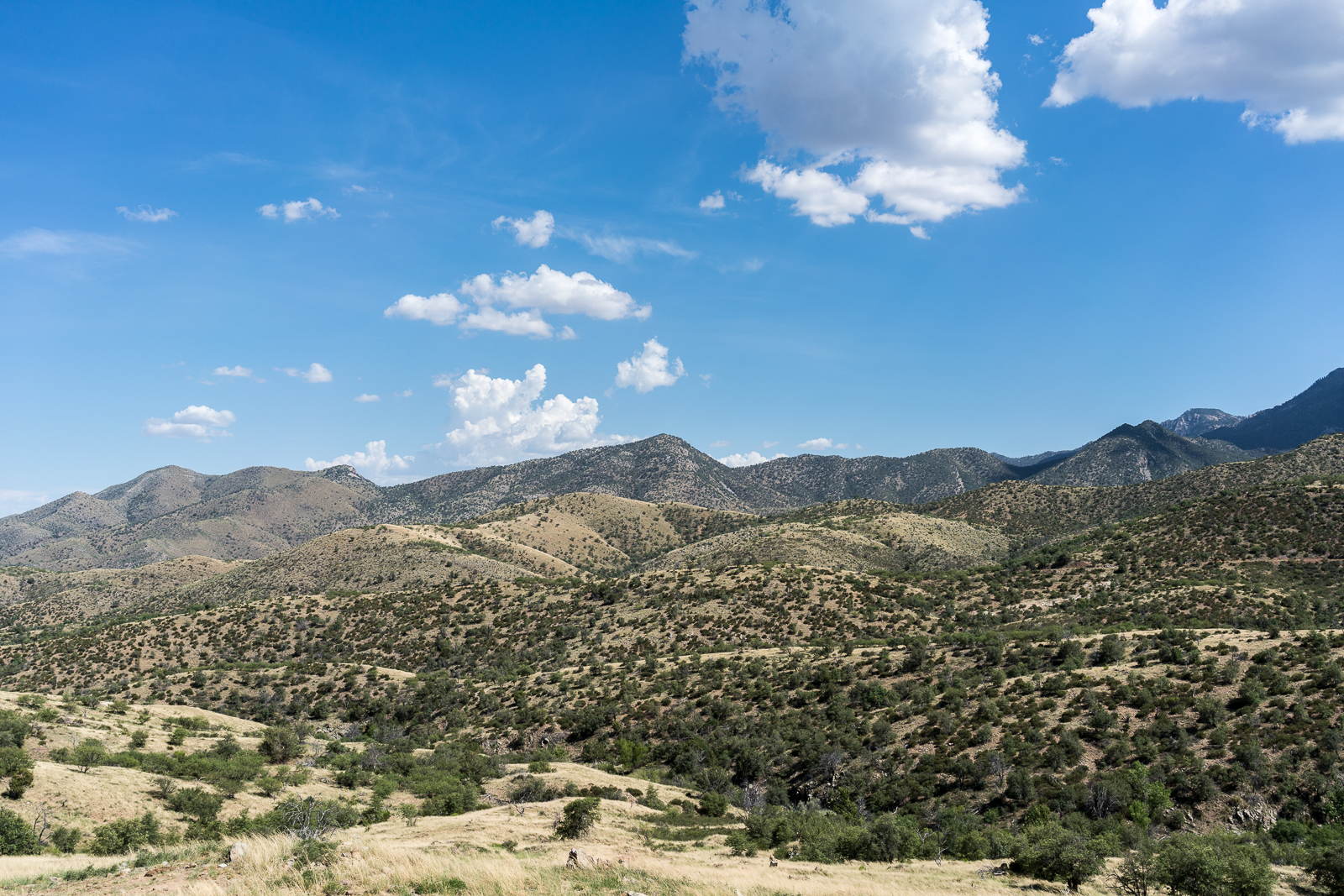
Friends are hiking on the top of the mountain trying to escape the heat – but it is just so hot that it seems like a good day for a slow drive on the east side – sometimes with the windows down, sometimes with the A/C on – beautiful views and short walks from the Black Hills Mine Road and the Control Road.
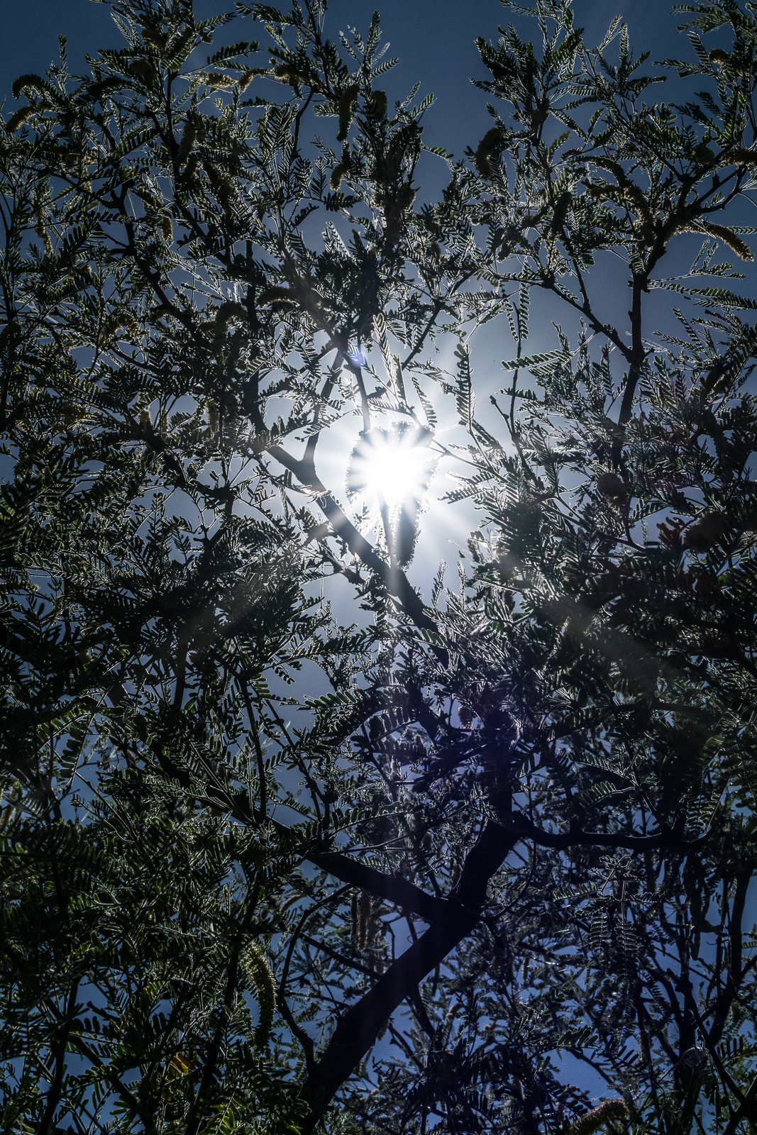
The ridge north of Edgar Canyon with Point 6053 in the center – from the Control Road. July 2016.Sun thru the Mesquite. July 2016.