Box Spring Route to Sabino Canyon – 4/21/2015

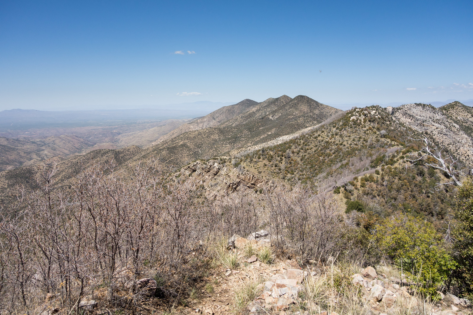
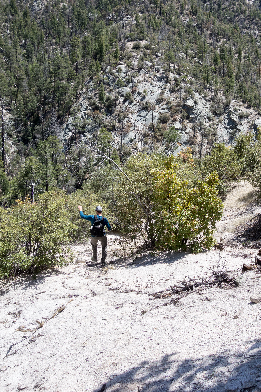
The Box Spring Trail has long been more of a route than a trail – I think it would have already disappeared back into the mountain if its ending high in Sabino Canyon wasn’t so beautiful!

1504 Crystal Clear Water in Sabino Canyon
Rocks under crystal clear water in Sabino Canyon. April 2015.

The hike down seemed slightly easier to follow than I remember – maybe with a little more loose dirt and debris in the drainage (and maybe just a little more poison ivy)? It was a surprise to meet two hikers coming up – but no surprise that anyone on this trail was fun to chat with for a few minutes!

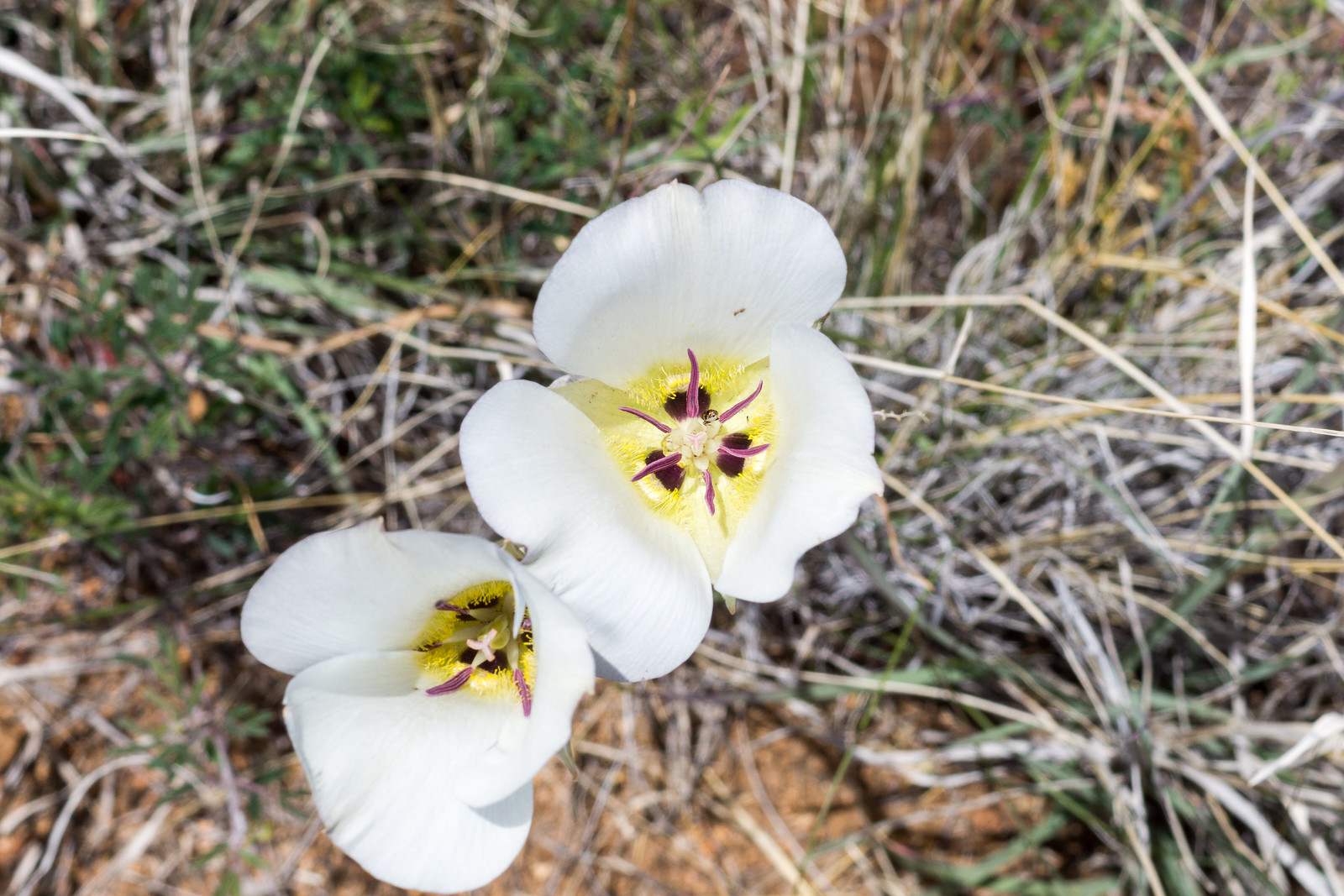
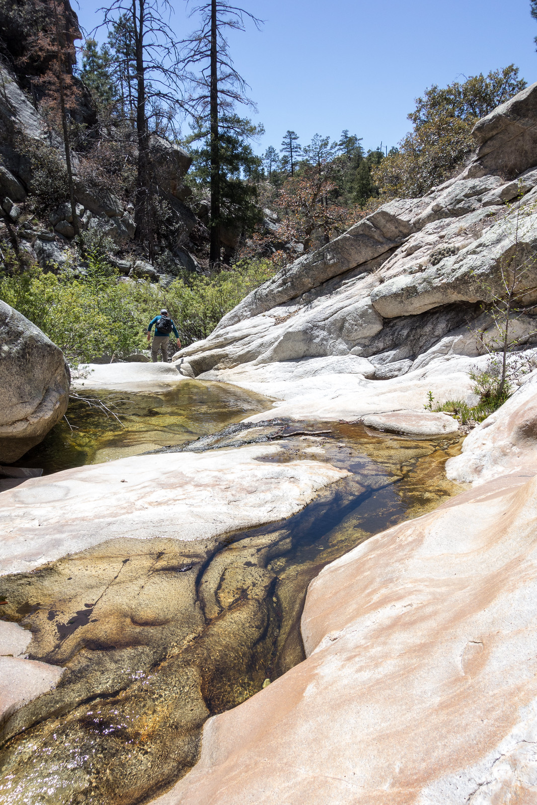
Sabino Canyon was – just like every time I have been down the Box Camp Trail – wonderful – cold flowing water, pools, beautiful rocks and green all around. After walking down to the first obstacle and taking a break we exited the canyon to the north – at first with the goal of working downstream, but eventually lured upward by the rocks to a high point…

1504 Ridge South East of Sabino Canyon ending with Brinkley Point
Looking across Sabino Canyon – on the left side of the picture is the drainage the Box Spring Trail follows, Brinkley Point is on the far right of the picture. April 2015.

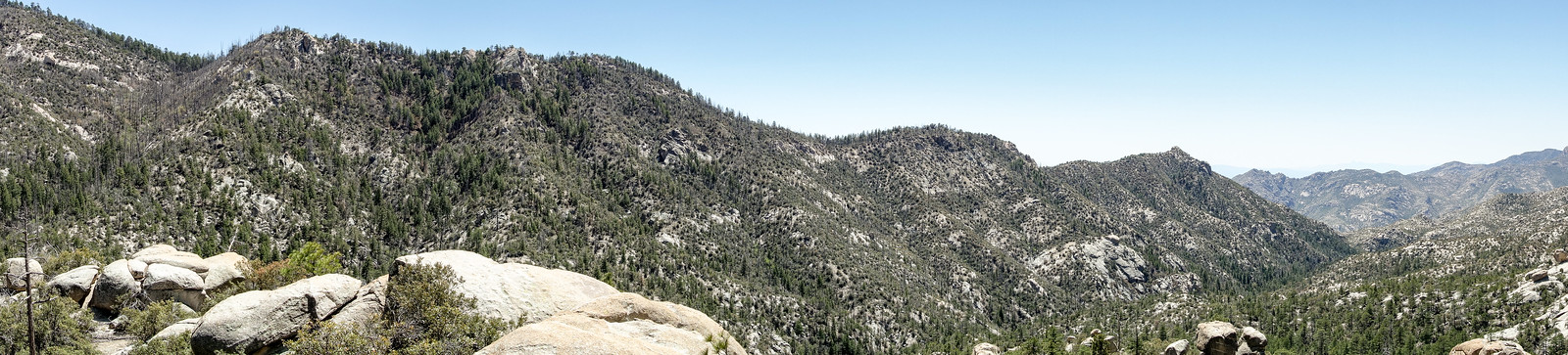
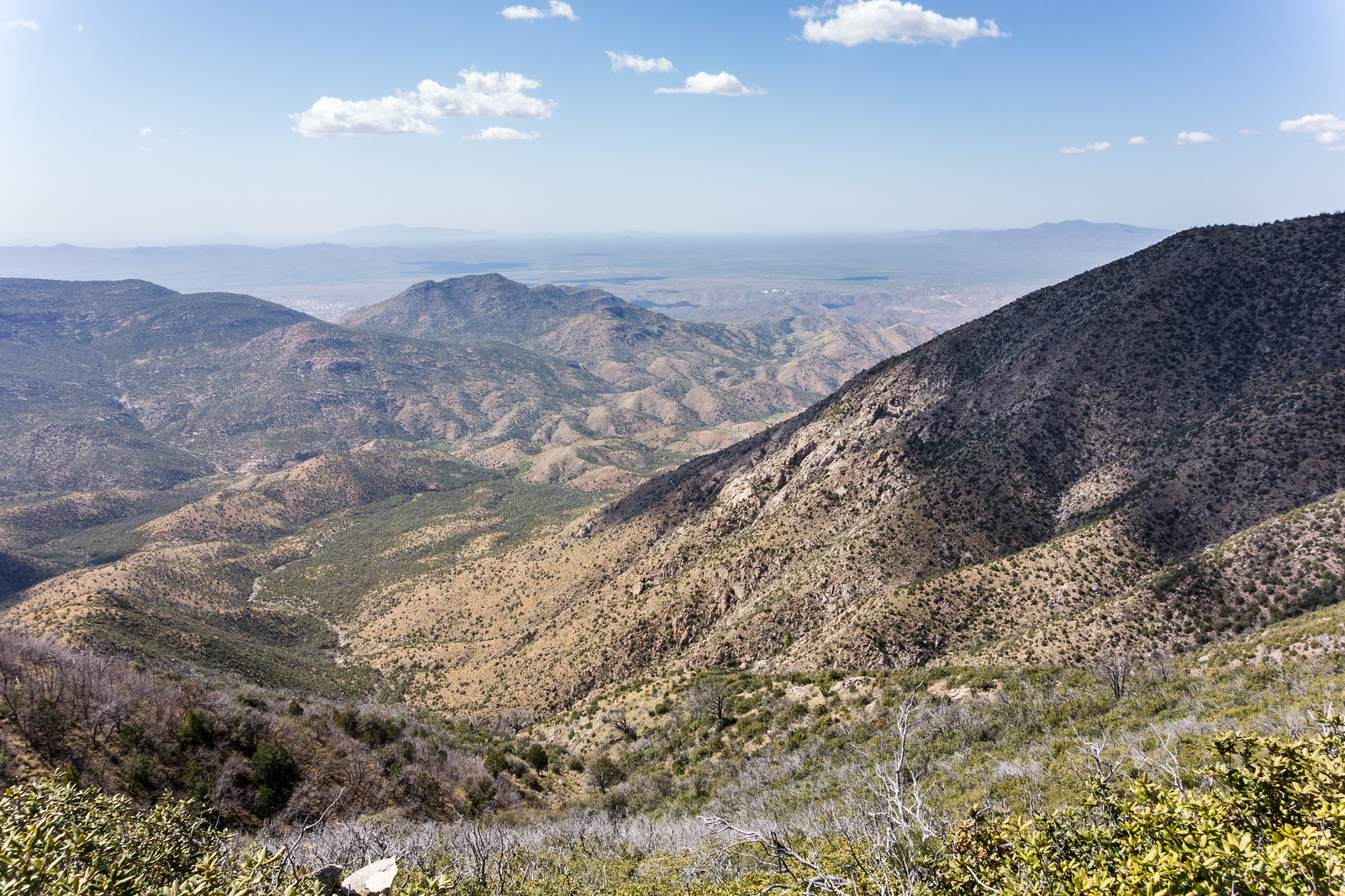
We rested, enjoyed the views and planned an exit up one of the small ridges back to the main ridge (rather than going back up the Box Spring drainage) – and then plunged down the hillsides into the canyon bottom!

1504 Slip and slide on the way to the bottom of Sabino Canyon
Descending back into Sabino Canyon on loose sandy hillsides. April 2015.
1504 Working down Sabino Canyon
Lance working down Sabino Canyon – flowing water, carved rock. April 2015.

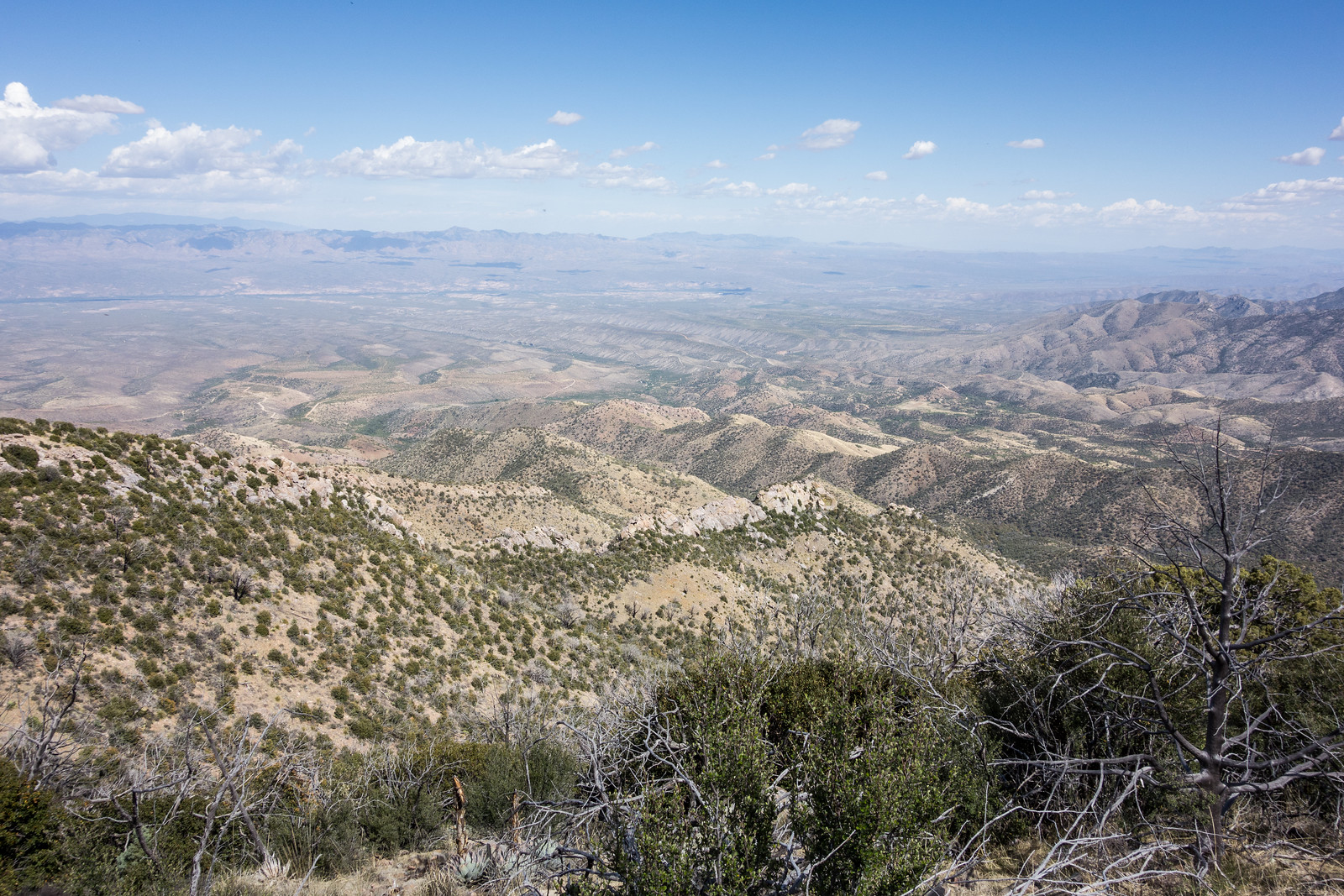
We hiked a short distance down canyon before scrambling out and starting to climb. At first the route we picked seemed brilliant – steep, but fairly open and easy, unfortunately as we got closer to the top the brush became thicker and thicker… Eventually we fought thru the brush and followed game trails to finish the climb to the main ridge – from there it was an enjoyable walk back to the Box Camp Trailhead. 6.75 miles, 2300′ of elevation gain and loss.

Down the Oracle Ridge and Cody Trails – 4/13/2015

After a leisurely start I setup at the Oracle Ridge Trailhead to wait for a friend who is coming up the mountain from the American Flag Trailhead – intermittent clouds and a nice breeze keep things cool on my first miles of the day, walking the top of the trail, waiting…

Soon enough RA appears and after a few minutes of talking, organizing gear and confirming plans I start down the Oracle Ridge Trail.

1504 Oracle Ridge
Oracle Ridge stretching out into the distance – not far from the start of the Oracle Ridge Trail. April 2015.

The trail leaves Dan Saddle and climbs (and climbs!) past good views and thru tunnels made of trees, some alive and full of leaves, some just silvery skeletons.

After the trail re-joins the top of the ridge I am stopped several times by views off both sides – the CDO on one the left and the San Pedro Valley to my right.

1504 Looking Down from the Oracle Ridge Trail
From Oracle Ridge – after the climb out of Dan Saddle where the trail rejoins the top of the ridge – the CDO and Samaniego Ridge below with the Biosphere in the distance. April 2015.
1504 Looking down on the San Pedro
The San Pedro Valley from Oracle Ridge – south of Rice Peak. April 2015.

I chat with a friendly backpacker and share some water to ease his concerns about the dry dusty miles ahead – he is the 2nd and last person I will see today – after Rice Peak the descent towards Oracle begins in earnest. Signs guide me sometimes onto single track and often back to the dirt road – not a purist’s dream perhaps, but out here – alone – it really doesn’t matter.

1504 Late in the day on the Cody Trail
Casting a long shadow on the Cody Trail. April 2015.

The shadows get longer on the Cody Trail – power lines, buildings, roads and houses all come and go but my mind stays on the lovely winding trail – I stretch out and run for a while but I am too tired to run even the slight incline of the final hill and manage only a slow walk to end the day. 15.75 miles, +1,650/-4,800 feet of elevation gain/loss.

Oracle State Park, Flowers – 4/11/2015

Oracle State Park is currently open to the general public Saturdays and Sundays from 8am to 5pm (fee required) – there are a number of trails to enjoy, the historic Kannally Ranch House and when we visited the flowers were beautiful!

1504 Lily
A lily in Oracle State park on the Manzanita Trail. April 2015.
1504 Spider Milkweed
Spider Milkweed. April 2015.
1504 Prickly Pear Flower
Prickly Pear Flower. April 2015.

Bowden, Rescues, 16th Lamb – 4/19/2015

Mt. Lemmon center renaming considered for author Bowden, Patrick McNamara, Arizona Daily Star  – The Pima County Board of Supervisors is considering renaming the Mount Lemmon Community Center after well-known author Charles Bowden who passed away in 2014. Bowden’s Frog Mountain Blues is about the Santa Catalina Mountains.

Hikers were rescued after dehydration ended a hike up the mountain on the Sutherland Trail – high temperatures and scarce water this time of year are worthy of caution and careful planning. UPDATE: Two hikers rescued from Catalina State Park, Colton Shone and Shelley Shelton, Tucson News Now; Two hikers rescued from Catalina State Park, Arizona Daily Star; Hikers rescued on Sunday after potentially life-threatening situation, Domenica Fuller, KVOA.com.

Hiker rescue underway near Sabino Canyon, Jackie Kent, Tucson News Now – “The Pima County Sheriff’s Department said a 73-year-old man with a possible leg injury is about six miles up a trail at Esperero Canyon.”

Santa Catalina Bighorn Sheep Reintroduction Project March 26 through April 8, 2015 – Another lamb has been reported to bring the total to 16 for the season!


Miami Fire Pictures from Summerhaven – 4/18/2014

It was a beautiful day high on the mountain – we drove to the Summit Trailhead to start a friendly race – Aspen Draw Trail, thru Summerhaven, Mint Spring Trail, Marshall Gulch Trail and the Aspen Trail to Marshall Saddle – I managed to win by about a minute, but not without an all out effort!

While hiking back to the car on the Aspen Trail I noticed smoke below and assumed it was just someone burning brush… But in Summerhaven (to get a cookie!) we were able to see the flames, smoke and orange tint from the Miami Fire.

1504 Hillside Flames
Flames from the Miami Fire on a hillside above Summerhaven. April 2015.
1504 The Miami Fire from Summerhaven
Smoke and flames from the Miami Fire. April 2015.

It was hard to tell how big and close the fire was – but thankfully InciWeb reports that the fire is only 5 Acres and already 20% contained (see updates below). Both Tucson News Now and the Arizona Daily Star report that no structures have burned, there are no current evacuation orders and that while precautions are being taken no structures are currently threatened. The cause is still under investigation but it is believed to be human-caused. The highway was closed at the base.

UPDATE 4/21/2015 – InciWeb now reports that the fire is 100% contained – no structures were damaged and the fire burned 5 acres.

UPDATE 4/19/2015 – Tucson News Now reports that the highway reopened Saturday night and remained open on Sunday.

From InciWeb 4/20/2015: The Miami Fire was 100% contained today at 4:30 p.m. The crew has been released. The fire has transitioned to the Arizona State Forestry Division. This will be the final update for the Miami Fire.

From InciWeb 4/19/2015: Miami Fire is 40% contained. Crews have fireline and are cooling hot spots in the interior (mopping up). Four acres on private land, .6 on Coronado National Forest.
Due to the prompt response of Coronado National Forest, Mt. Lemmon Fire Department and Rural Metro Fire Department, a positive outcome of no structures lost was possible. Close proximity of a helipad and dip site to the fire also contributed to the success.

From InciWeb 4/18/2015: The Miami fire, burning in Carter Canyon near Summerhaven is now 20 percent contained and is 4.6 acres. The fire was active in the afternoon but the fire behavior has now decreased. Firefighters expect to make good progress tonight, but the area has many snags, and heavy mop up is anticipated. There are currently five engines, two water tenders a helicopter, a twenty person handcrew, and various overhead are assigned to the fire. That is more than forty firefighters working to suppress the Miami fire with another twenty person handcrew ordered. The Mt. Lemon Highway remains closed at MP 0.