Palisade Trail to Pine Canyon, 10/19/2014

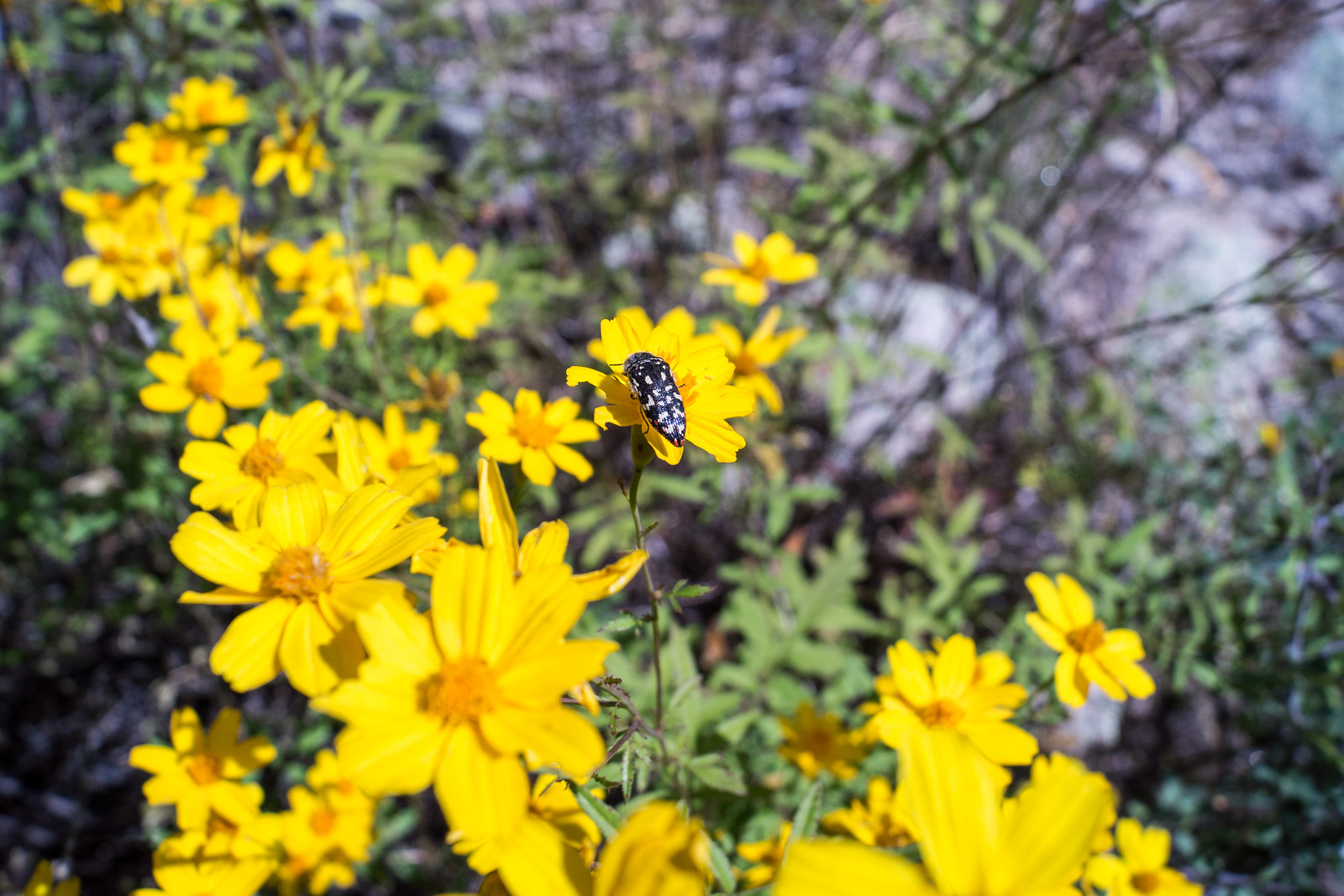
1410 Acmaeodera
An Acmaeodera on yellow flowers just off the Palisade Trail on the banks of Pine Canyon (I believe this is an Acmaeodera Gibbula on ‘Mountain Marigold’ Tagetes lemmoni). October 2014.

It was great to see clouds in the sky from the Palisade Trailhead, but it wasn’t until we left the Palisade Trail some 3 miles into our hike, wandered thru the yellow flowers and explored Pine Canyon above the first falls that I looked back and realized that we might get to enjoy some rain…
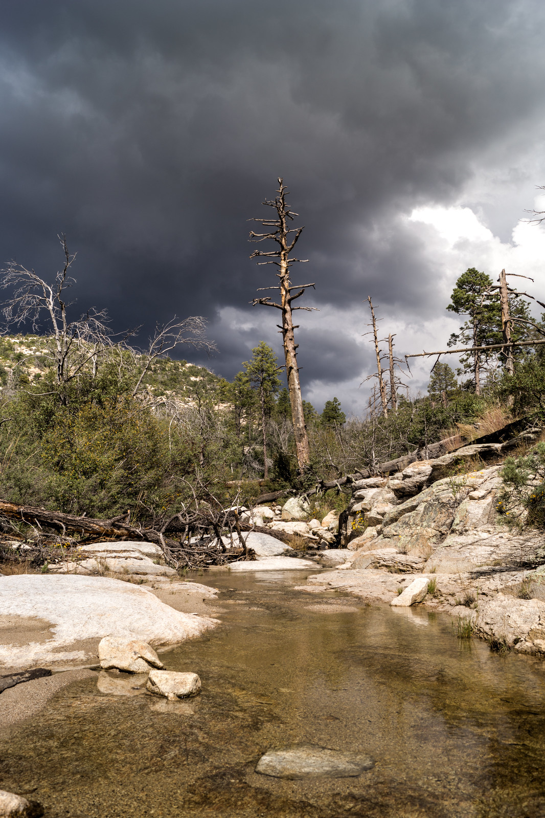
1410 Above the First Falls Looking up Pine Canyon
In Pine Canyon looking up-canyon into the dark clouds – above the first falls. October 2014.

Water was flowing nicely at the first falls – but it wasn’t our destination for the day. We continued down the trail – past Mud Spring – eventually leaving the trail and taking a small drainage towards a favorite spot above Pine Canyon.
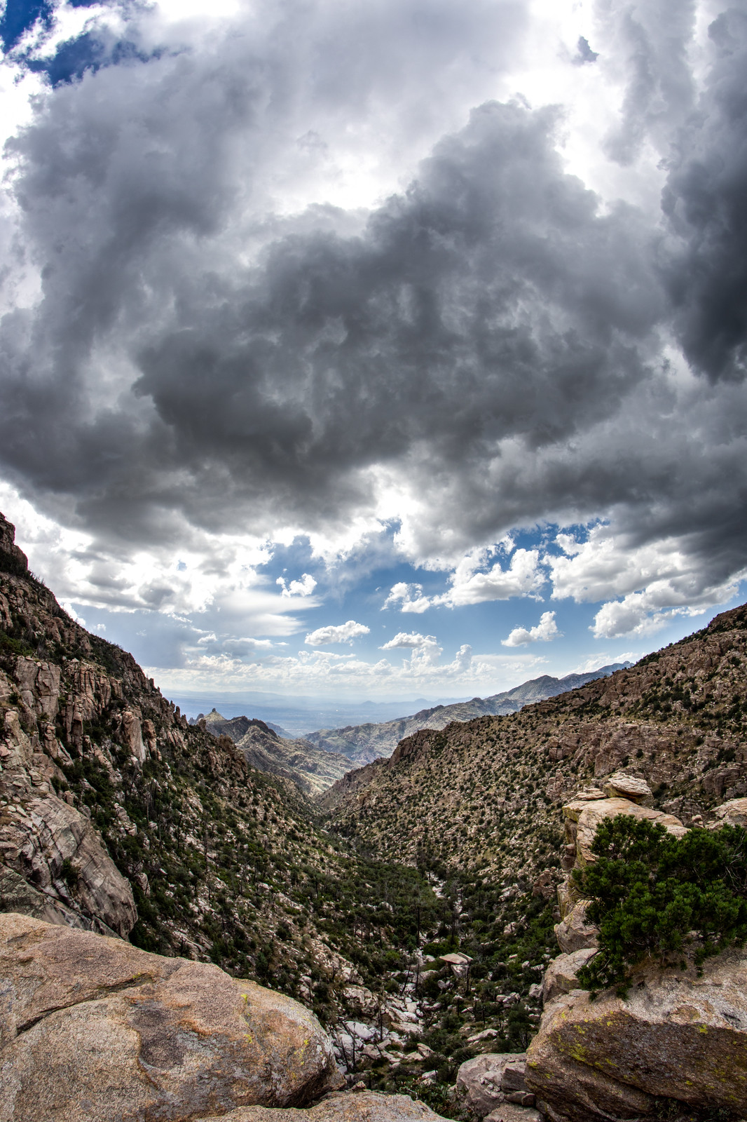
1410 Looking down Pine Canyon Storm Moving In
Looking down Pine Canyon into Tucson with beautiful storm clouds above. October 2014.

It was a good day to sit for awhile and enjoy the rain… 7 miles, +/-1600′ of elevation gain/loss.
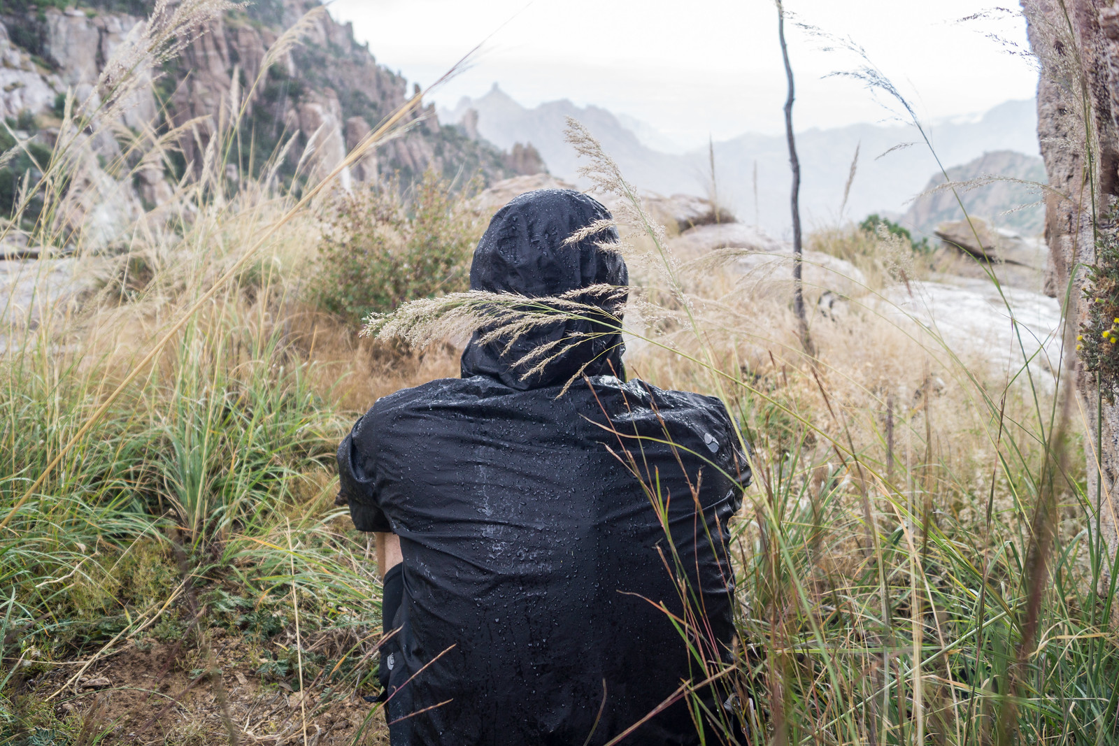
1410 Watching a Storm from the West Ridge of Pine Canyon
Enjoying the storm. October 2014.

1918 and Bigelow Road, Fall Colors, Construction – 10/20/2014

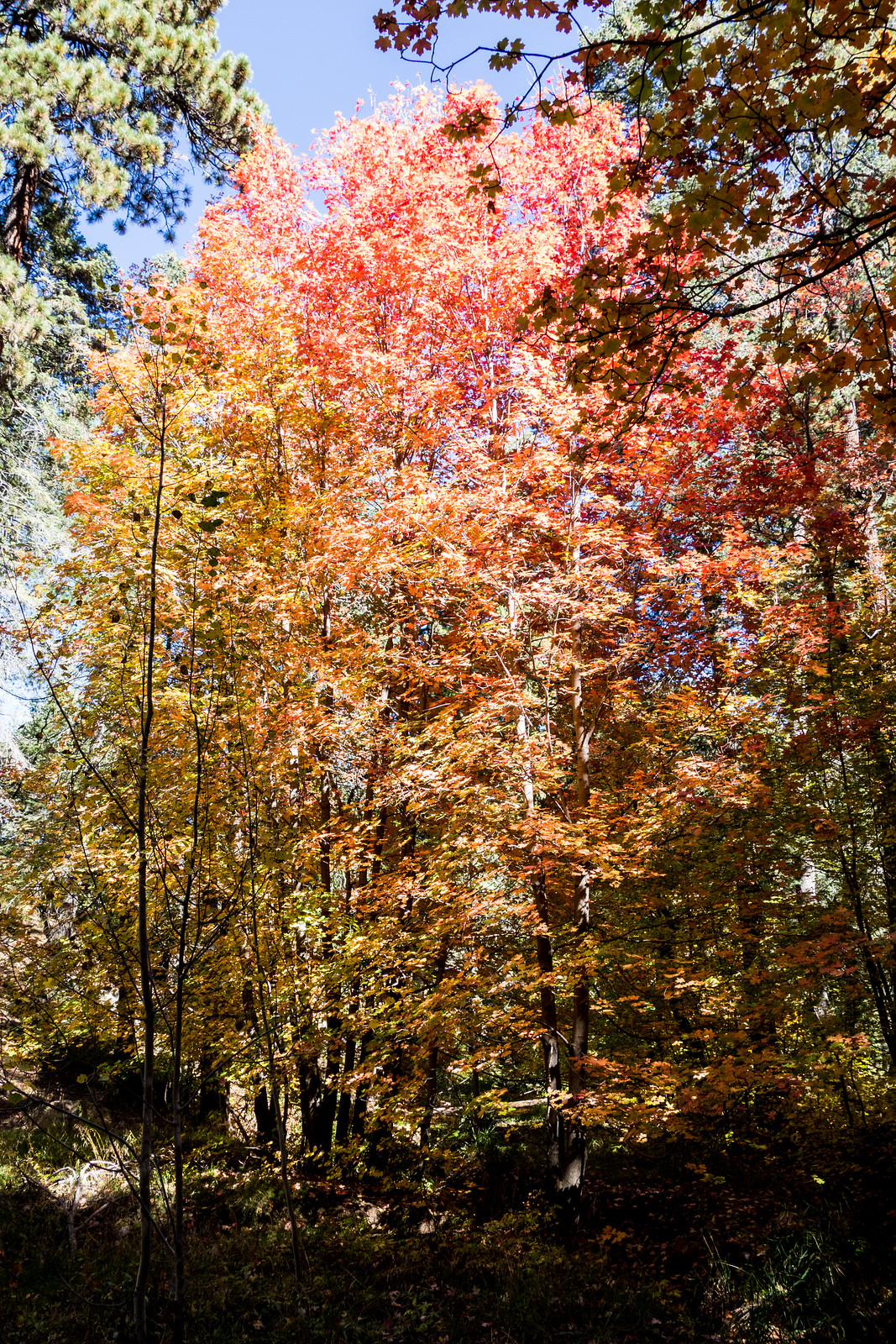
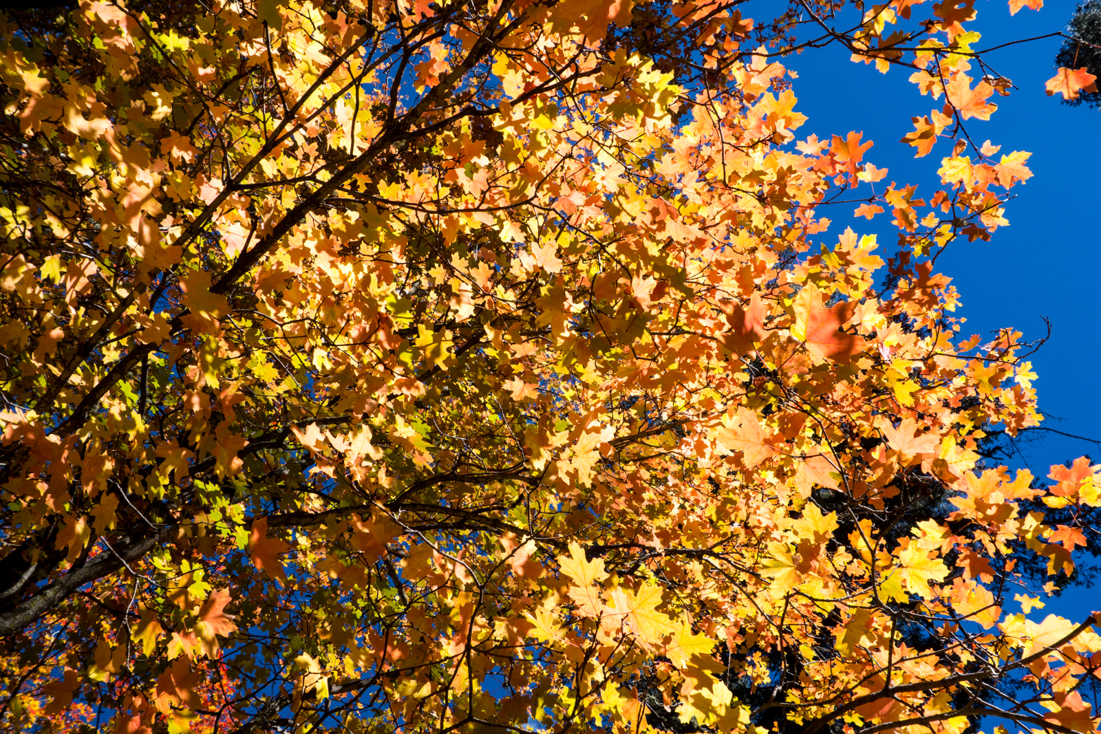
1410 Fall Color
Fall color above the the 1918 Trail. October 2014.

There was steady traffic on the highway and every trailhead I could see had at least one car – on such a lovely day it was inspiring to see so many people out enjoying the mountain. I parked at the Sunset Trailhead and took the unsigned 1918 Trail – the trail runs along a stream near the highway and into the Bear Wallow area – never far from the road, but so beautiful with the fall colors that the sounds of the cars are easily forgotten.

1410 Fall Color along 1918
Bright fall color in the sun along the 1918 Trail. October 2014.

Eventually I turned onto Bigelow Road – steady running to the top – back the way I came. 1918 and Bigelow Road to Mount Bigelow and back the same way – 7 miles, +/- 930′ elevation gain/loss (round-trip).

The changing leaves have been featured in several recent articles – both have some suggestions about places to go to see the colors: Autumn leaves flush Catalinas with color, Douglas Kreutz, Arizona Daily Star – and Hittin’ the Trails 4 You: Mt. Lemmon’s Fall color hot spots, Jeff Beamish, KVOA.com.

Another great post to with some fall colors in the Santa Catalina Mountains is Sirena’s Happy 5th Anniversary! – congratulations to Sirena on her blog’s 5th anniversary! Sirena’s Wanderings is a GREAT source of information and inspiration!

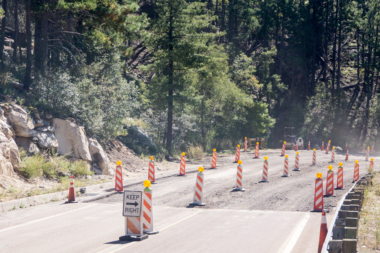
Road construction is on-going – on the weekends there are no delays but areas like the one below (with the pavement removed) located just down-mountain from the Ridgeline Parking Pullout are likely to cause delays on the weekdays…

1410 Construction on the General Hitchcock Highway
Pavement removed – construction underway – there are no current delays on the weekend days, but expect delays during the week – just below the Ridgeline Parking Area. October 2014.

Storm: Point 5506, San Pedro Vista, Meadow Trail Loop – 10/9/2014

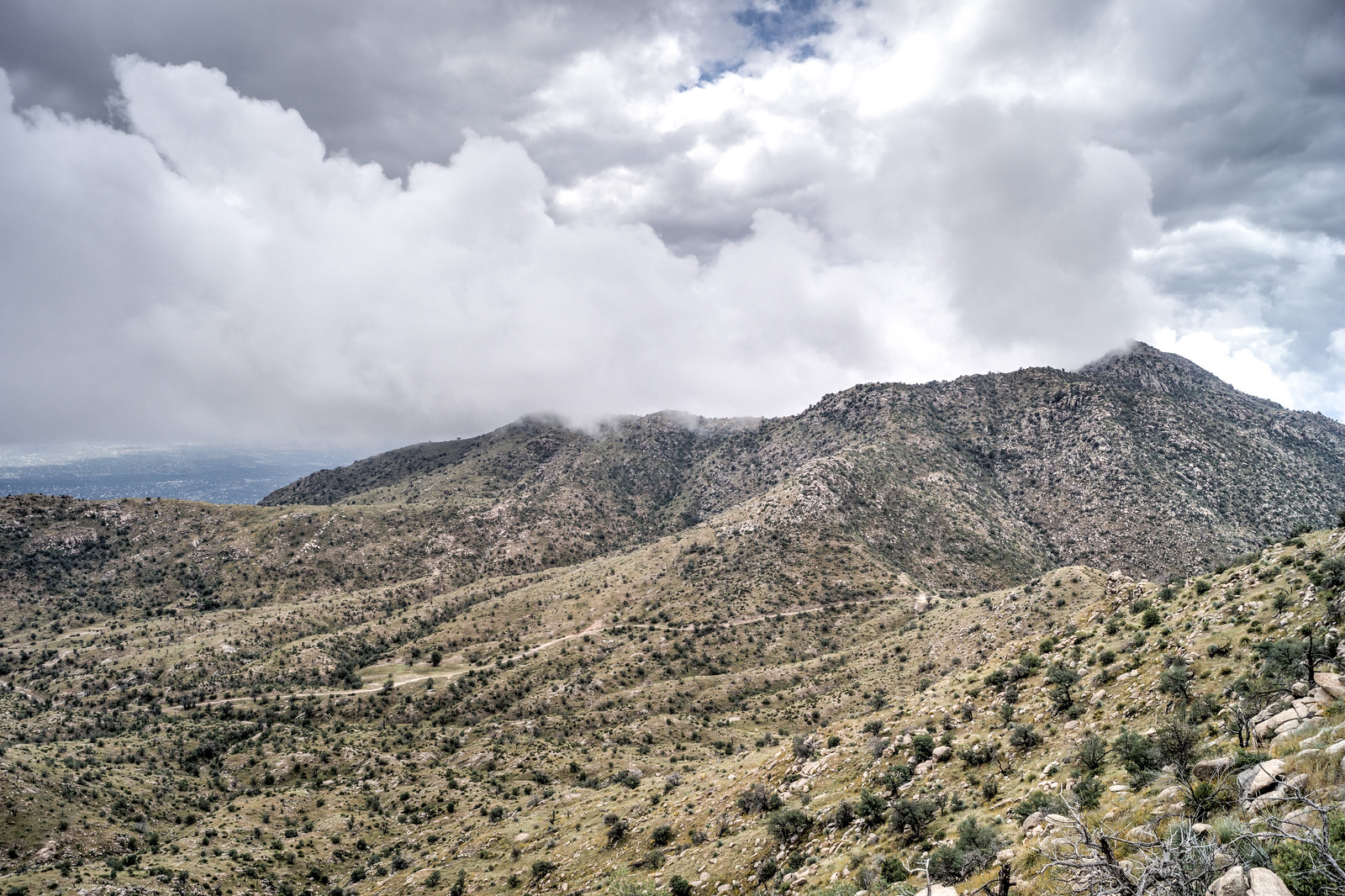
1410 Storm over the Molino Basin Trail and Shreve Saddle
Looking down on the Molino Basin Trail and Shreve Saddle from Point 5506. October 2014.

The rain started late Tuesday night and by the end of the day on Thursday the Pima County Regional Flood Control District ALERT System reported that 5.35″ of rain had fallen near the top of the Santa Catalina Mountains (the same guage would report just over 6″ for the work week!) – but on Thursday in Tucson blue skies were starting to show thru the clouds and by Friday there would be no weather to enjoy on the mountain…

1410 Blazing Star
Blazing Star coated pants from my hike from the highway up to Point 5506 – the summer heat largely kept me (and pants and socks!) away from the Blazing Star, no longer I guess… October 2014.
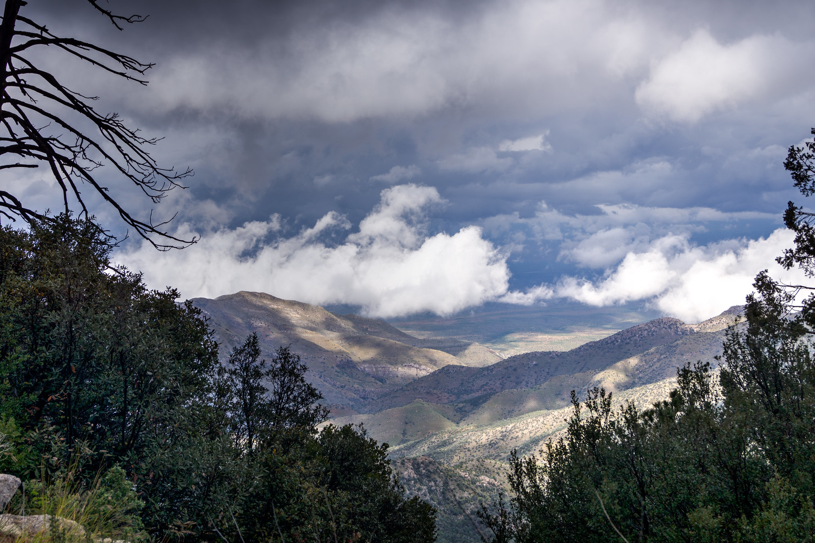
1410 A Stormy view from San Pedro Vista
A stormy view from the San Pedro Vista. October 2014.
1410 Meadow Trail covered in Clouds
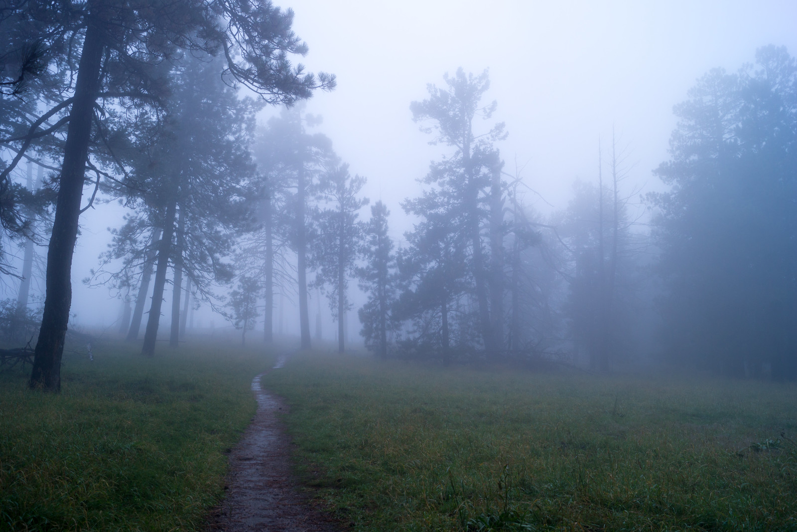
The Meadow Trail covered in clouds. October 2014.

Prison Camp to Sabino Canyon, a Competition Between Friends – 9/19/2014

1409 Crossing Bear Canyon on the Sycamore Reservoir Trail
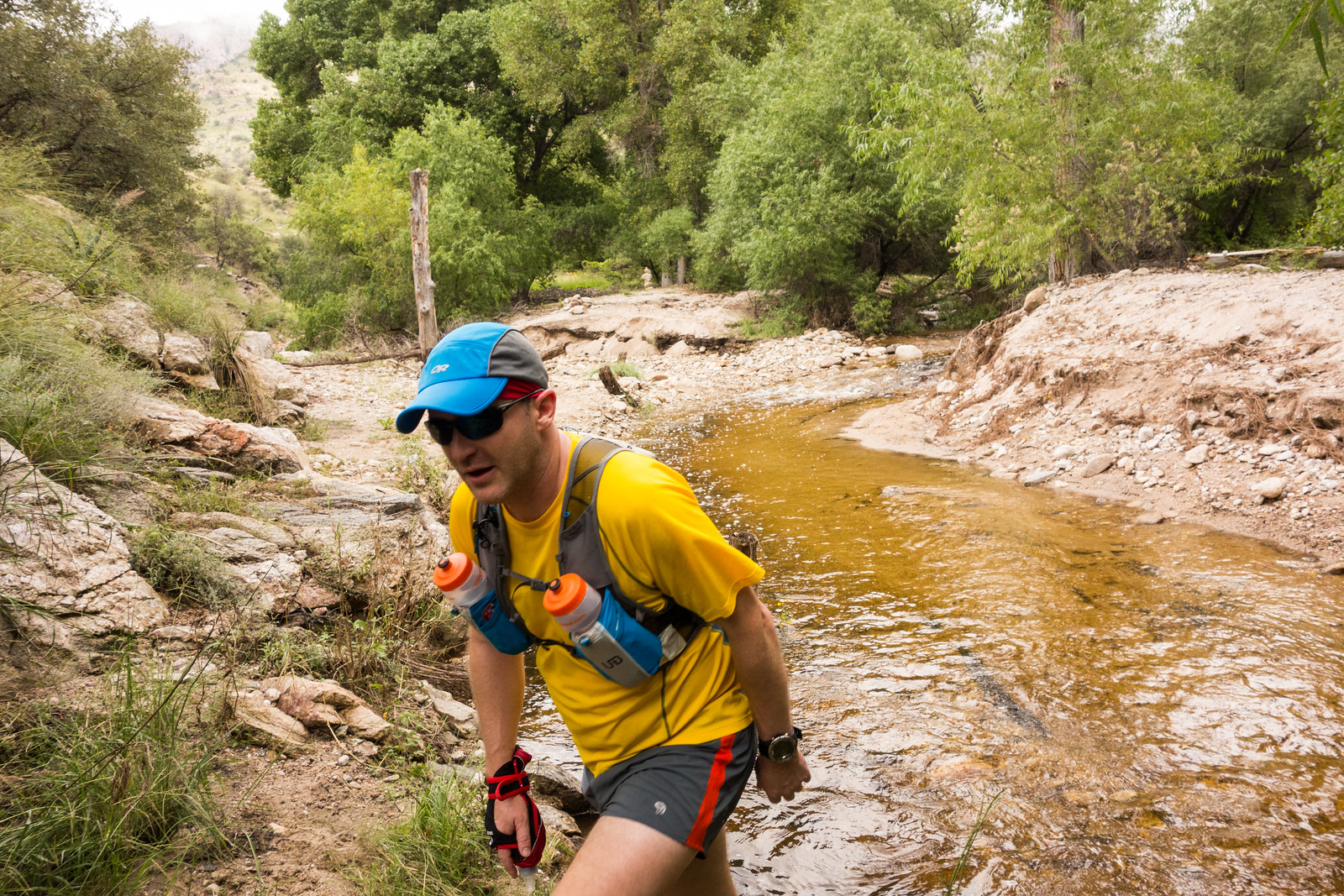
RA crossing Bear Canyon (flowing!) on the Sycamore Reservoir Trail. September 2014.

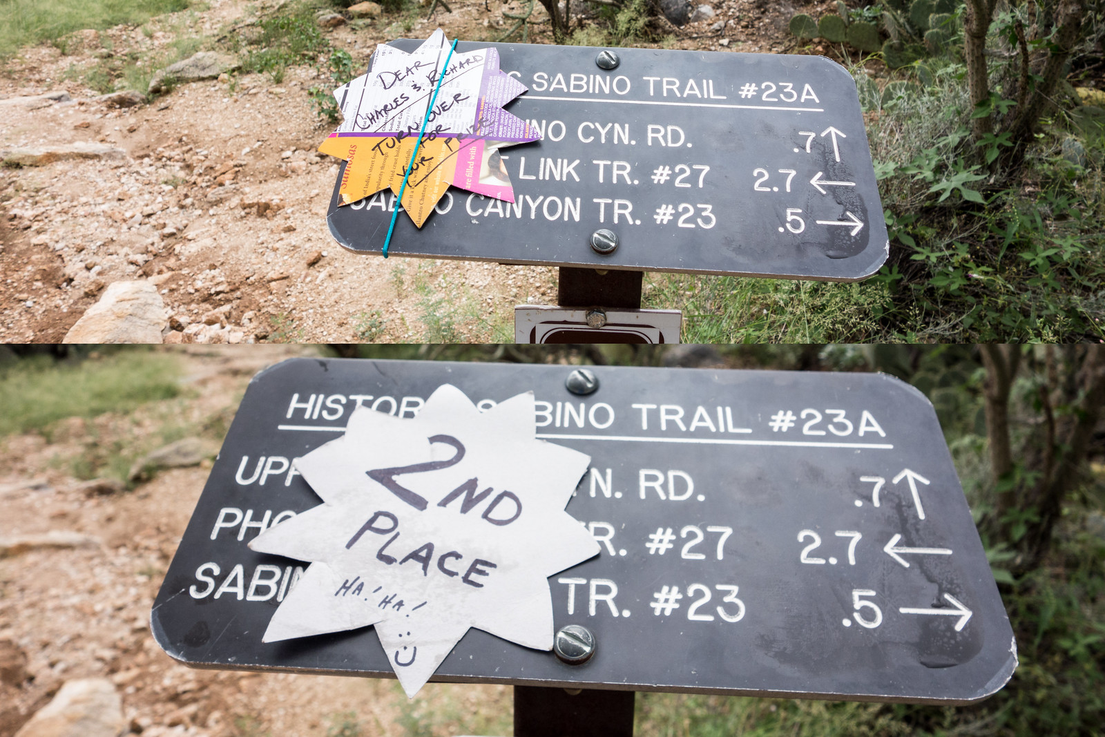
AT dropped RA and I at the upper parking area of the Gordon Hirabayashi Recreation Site – then we both started towards the Phoneline and Historic Sabino Trail junction. AT’s route was to drive to the Sabino Canyon Visitor Center and then hike/run up the Phoneline Trail. RA and I came down via the Sycamore Reservoir Trail, East Fork Trail, Sabino Canyon Trail and Phoneline Trail.

1409 Scarlet Creeper near Sycamore Reservoir
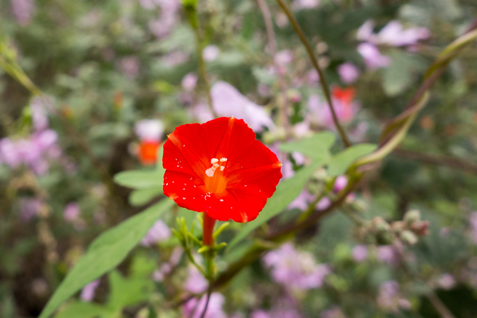
A Scarlet Creeper among the flowers and green near Sycamore Reservoir on the Sycamore Reservoir Trail. September 2014.

There were amazing flowers near Sycamore Reservoir – both Bear Canyon and Sycamore Canyon were flowing – there were clouds in the distance. We barely paused as we turned onto the Sabino Canyon Trail – as we continued down the trail it seemed like it was getting hotter and hotter.

1409 Richard Consulting with Two Members of the Hat Empire
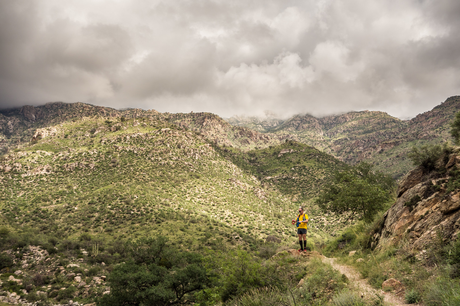
RA on the Sabino Canyon Trail – we wished for rain from the threatening clouds in the background, but we had very close to zero rain and by the end of our run there were brutally hot patches of full sun. September 2014.

I was surprised by the flowers on the Phoneline Trail – I had expected them near the canyons, but on Phoneline I didn’t expect such a great display. As I approached today’s finish line I was ahead of RA but couldn’t really look for AT – I was tired and the trail was too rocky – but as I got closer and didn’t see AT watching us I hoped I had won…

1409 A present from Alison
Defeat! September 2014.

🙂 12.8 miles, +881’/-2800′ of elevation gain/loss.
Oracle Ridge, Catalina Camp, Red Ridge Loop – 9/12/2014

1409 Running Down the Oracle Ridge Trail
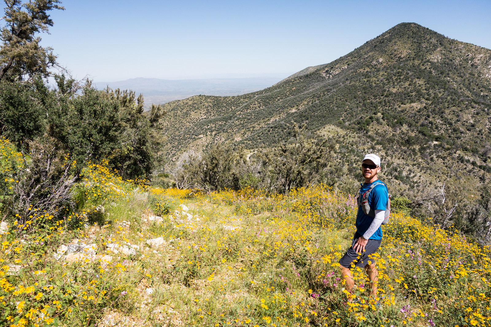
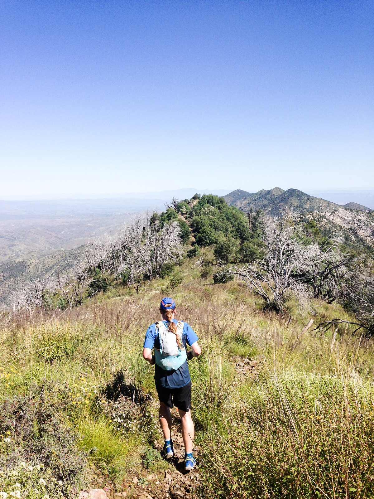
Running down the Oracle Ridge Trail – massive views, green and flowers! Photo by Korey Konga. September 2014.

When discussing where to go hiking with a visitor to Tucson you can count on the Marshall Gulch Trail and the Aspen Trail getting mentioned in some loop/combination/variation – and certainly there can be NO argument about these being sublime and incredible trails.

But as lovely as those trails are the loop that – for me – has come to best represents the spirit of the Santa Catalina Mountains is the Oracle Ridge – Catalina Camp – Red Ridge loop. This loop has astounding views, steep descents, cows, mines, water, washed out two-track, a bit of pavement, the Arizona Trail, flowers, steep climbing, more steep climbing, bones, big trees, burned areas, One Park Place and even an occasional cactus…

1409 Oracle Ridge Trail two track covered in Flowers
Taking a picture break on Oracle Ridge – flowers covering the old road. September 2014.

The harshness, history and beauty of this loop may be without parallel in the range – 9 miles, 2550′ of elevation gain/loss – with the great company of Korey Konga!

1409 An old mine near the Catalina Camp Trail
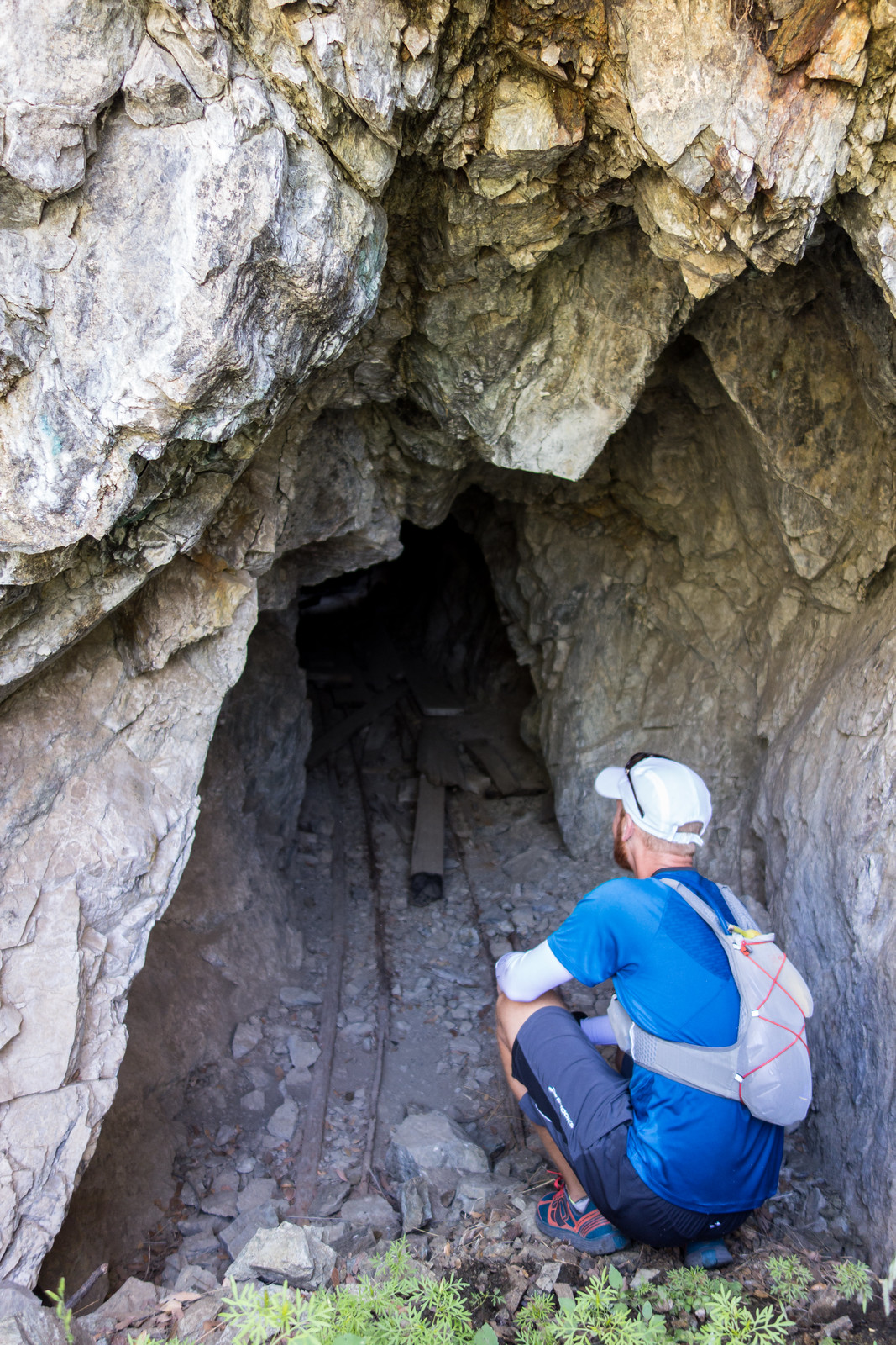
Korey checking out a mine not too far from the Catalina Camp Trail. September 2014.