Black Blobs, Ghost Camps – 1/7/2019

The Google Maps black blob covering the Cathedral Rock Area - surrounding topo map for reference. January 2019.
The Google Maps black blob covering the Cathedral Rock Area – surrounding topo map for reference. January 2019.

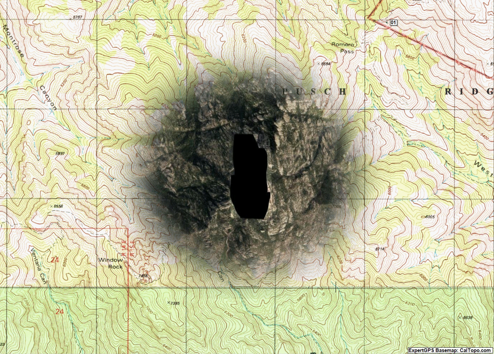
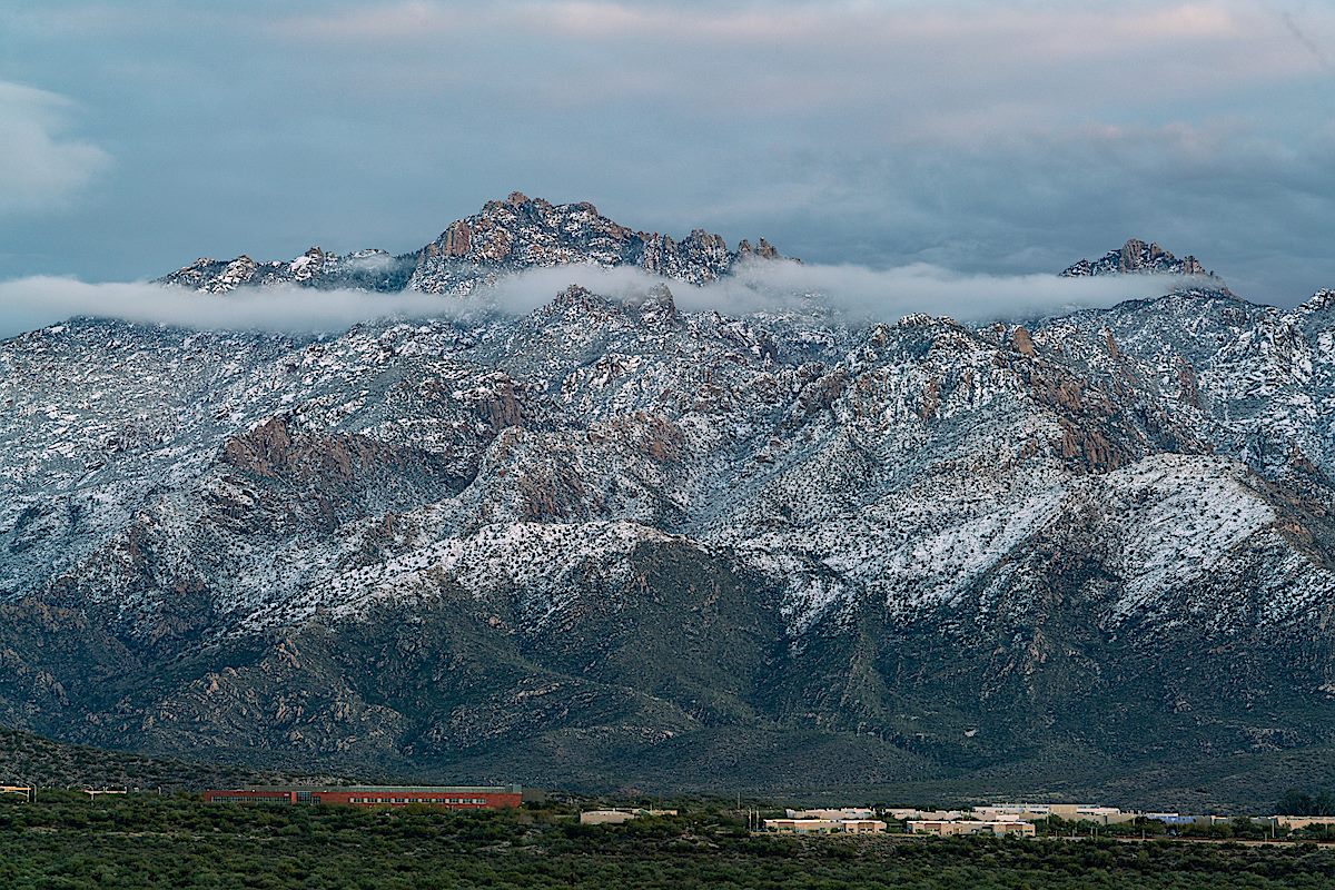
A message from the amazing Arizona based photographer Erini Pajak (Instagram) let me know that according to Google a strange black blob had appeared in the Santa Catalina Mountains. I was, of course, 99.999999% sure that this was something mundane like an unfortunate Google maps omission for a government agency or map data oddity/error and not a reflection of the real world. Thinking otherwise is probably the territory of theories like ‘blacked out because of an alien landing’ or ‘blacked out because new high resolution imagery clearly shows the Iron Door of mine-with-the-Iron-Door fame and Google is in the process of claiming mineral rights’ – but Google’s power and reach these days is such that sometimes it seems their information creates and influences reality rather than just reflecting it… So it was with 0.000001% relief that my recent photographs of Cathedral Rock didn’t show a black blob covering the peak!

Cathedral Rock and Window Peak on New Year's Day. January 2019.
Cathedral Rock and Window Peak on New Year’s Day. January 2019.
The Google Black Blob covering the Cathedral Rock area in Google Earth. January 2019.
The Google black blob covering the Cathedral Rock area in Google Earth. January 2019.

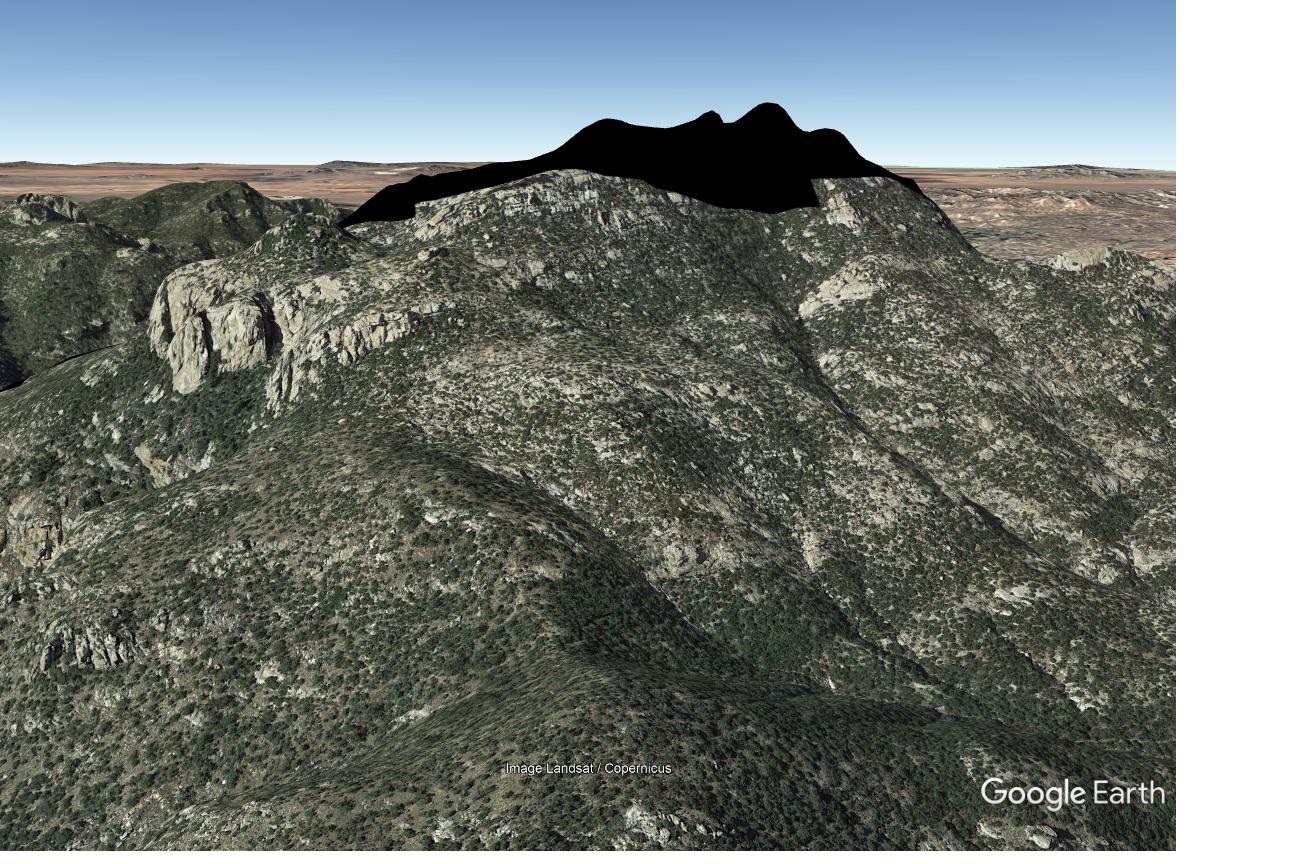
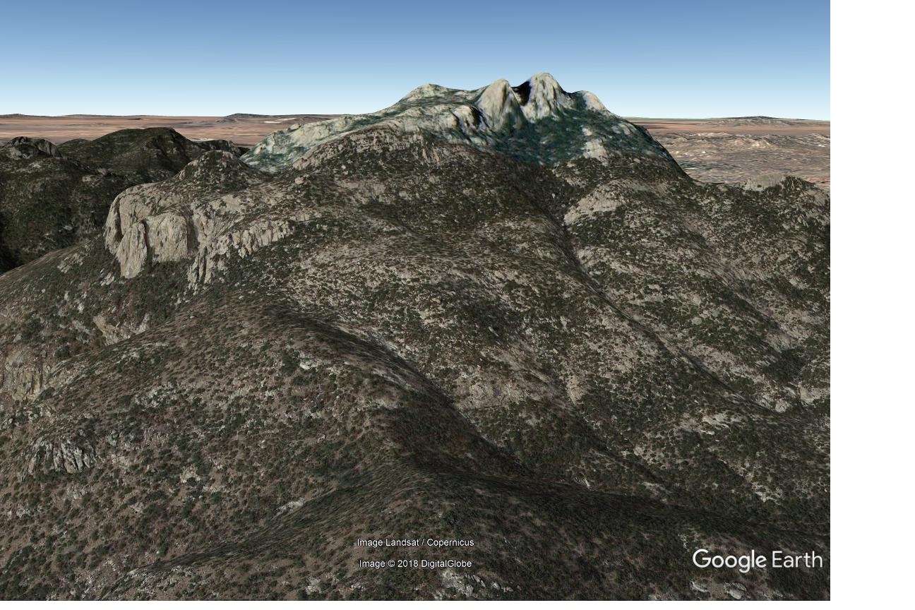
The images above show the black blob as seen on my screens in early January – I still see the blob on Google Maps, but changing the imagery date in the desktop version of Google Earth immediately shows the expected imagery (shown below). I can’t find any hint of the black blob in Microsoft’s Bing Maps, Gaia GPS and Backcountry Navigator Pro so it appears that the Cathedral Rock area is safe…

Google Earth - Cathedral Rock area with complete imagery. January 2019.
Google Earth – Cathedral Rock area with complete imagery. January 2019.

I suspect that any map large and detailed enough to be interesting – printed or digital – has errors, or at the very least representations that are historically accurate but not currently relevant…

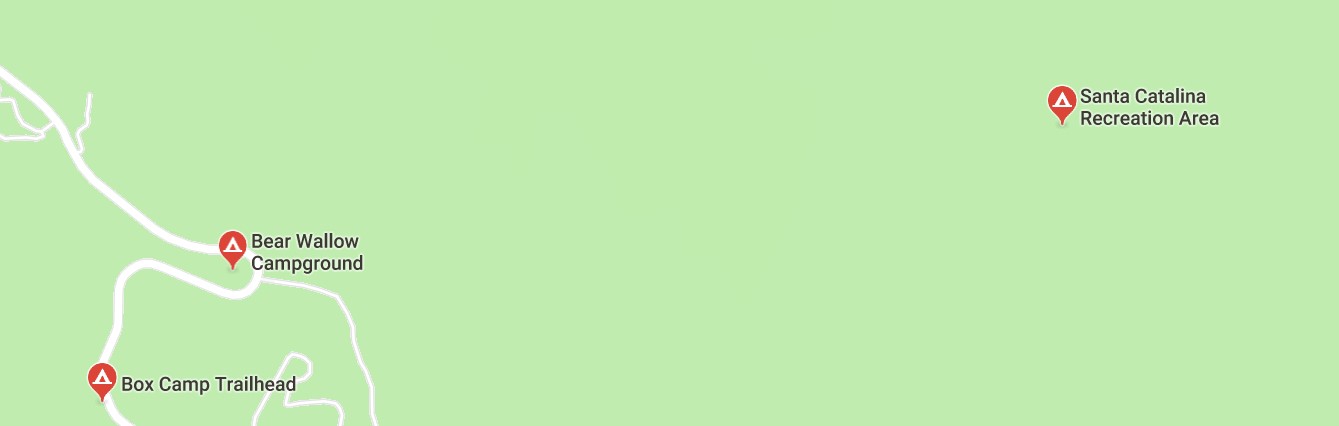
Witness the Ghost Campgrounds of the Santa Catalina Mountains – current results that come up if you zoom in and search for ‘campgrounds’ in Google Maps…

Google Maps - a search for Campgrounds reveals some questionable results... January 2019.
Google Maps – a search for Campgrounds reveals some questionable results… January 2019.

From left to right:

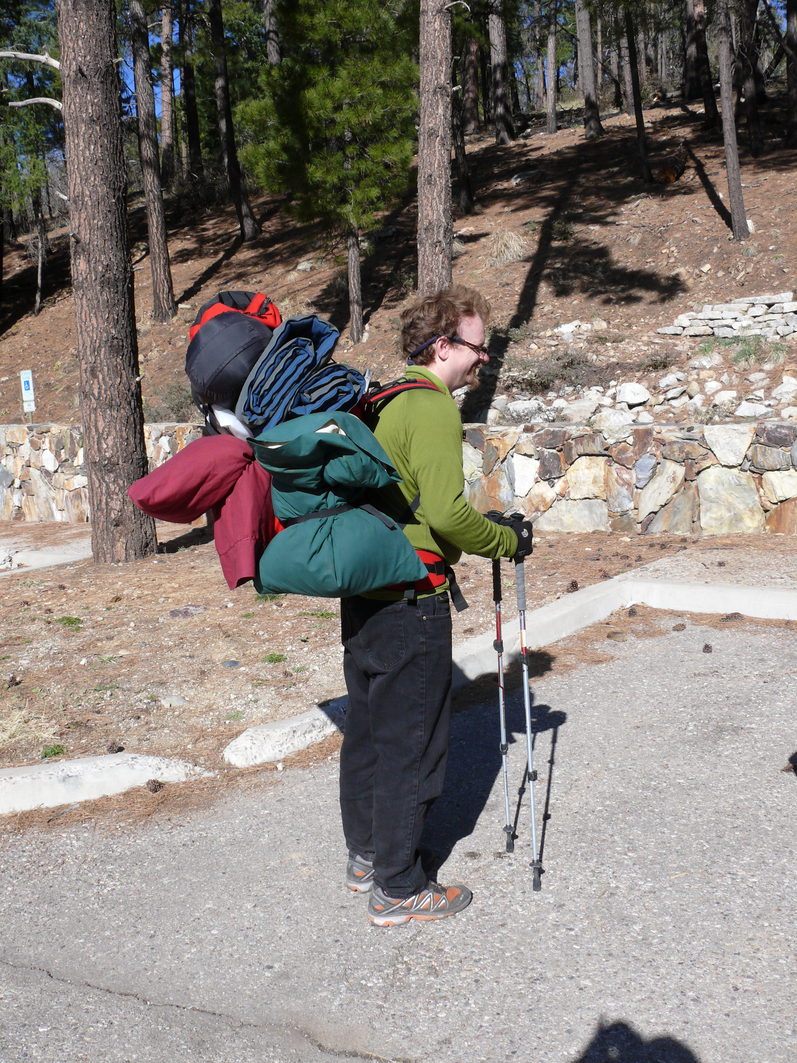
Box Camp Trailhead: a great place to start a hike and a decent place to backpack from – but there is no campground or camping in the trailhead proper…

The Box Camp Trailhead - no campground to be seen... September 2014.
The Box Camp Trailhead – no campground to be seen… September 2014.
The closest you are going to get to camping at the Box Camp Trailhead is loading up your gear and hiking in! March 2008.

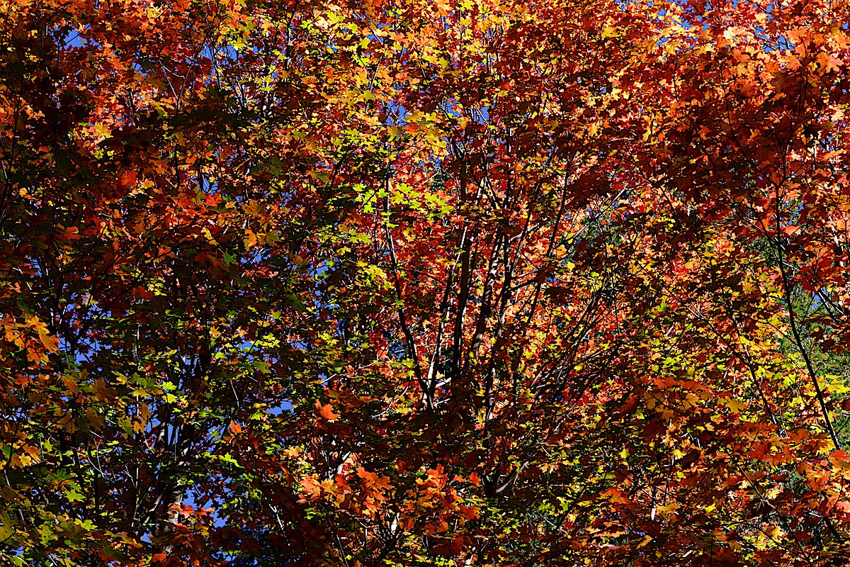
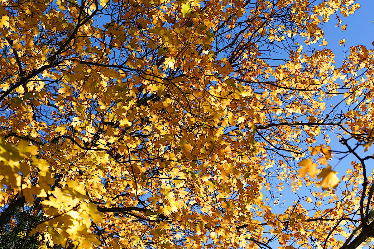
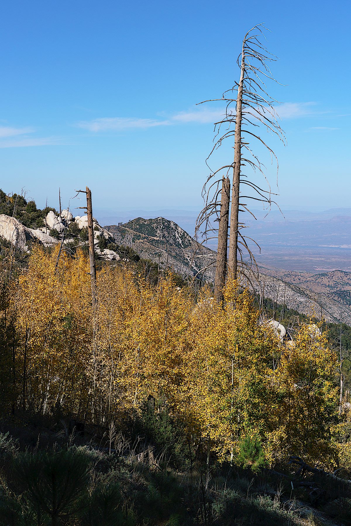
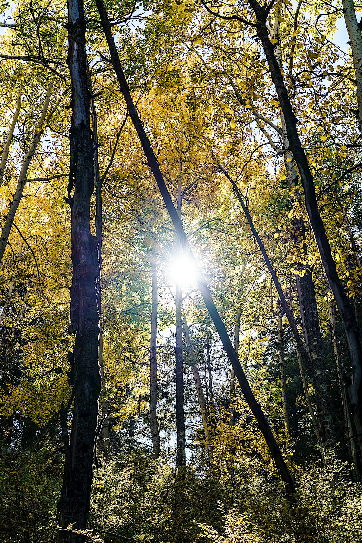
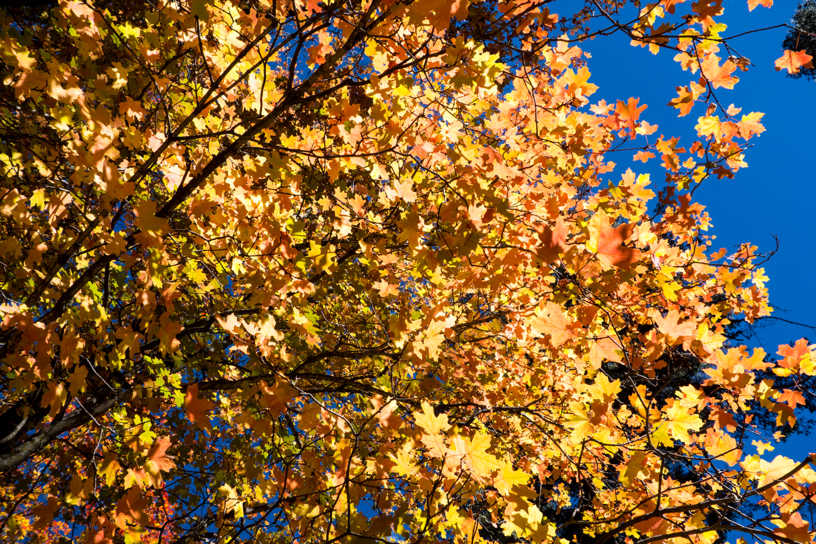
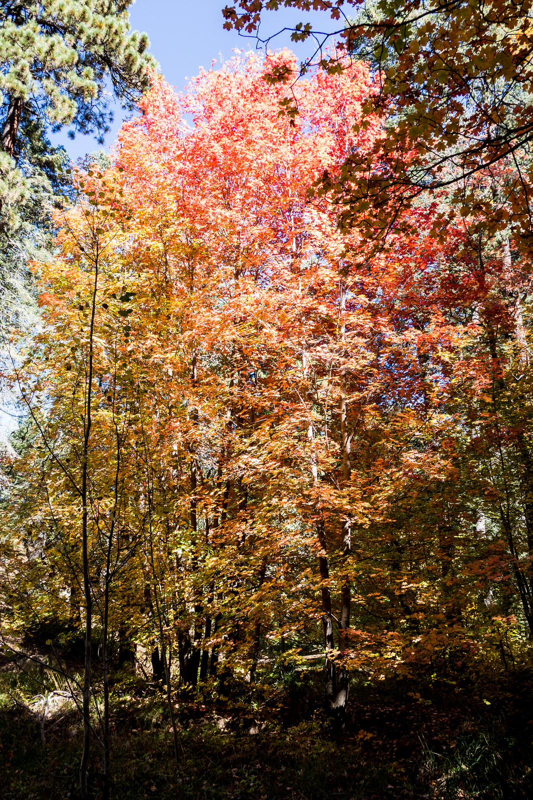
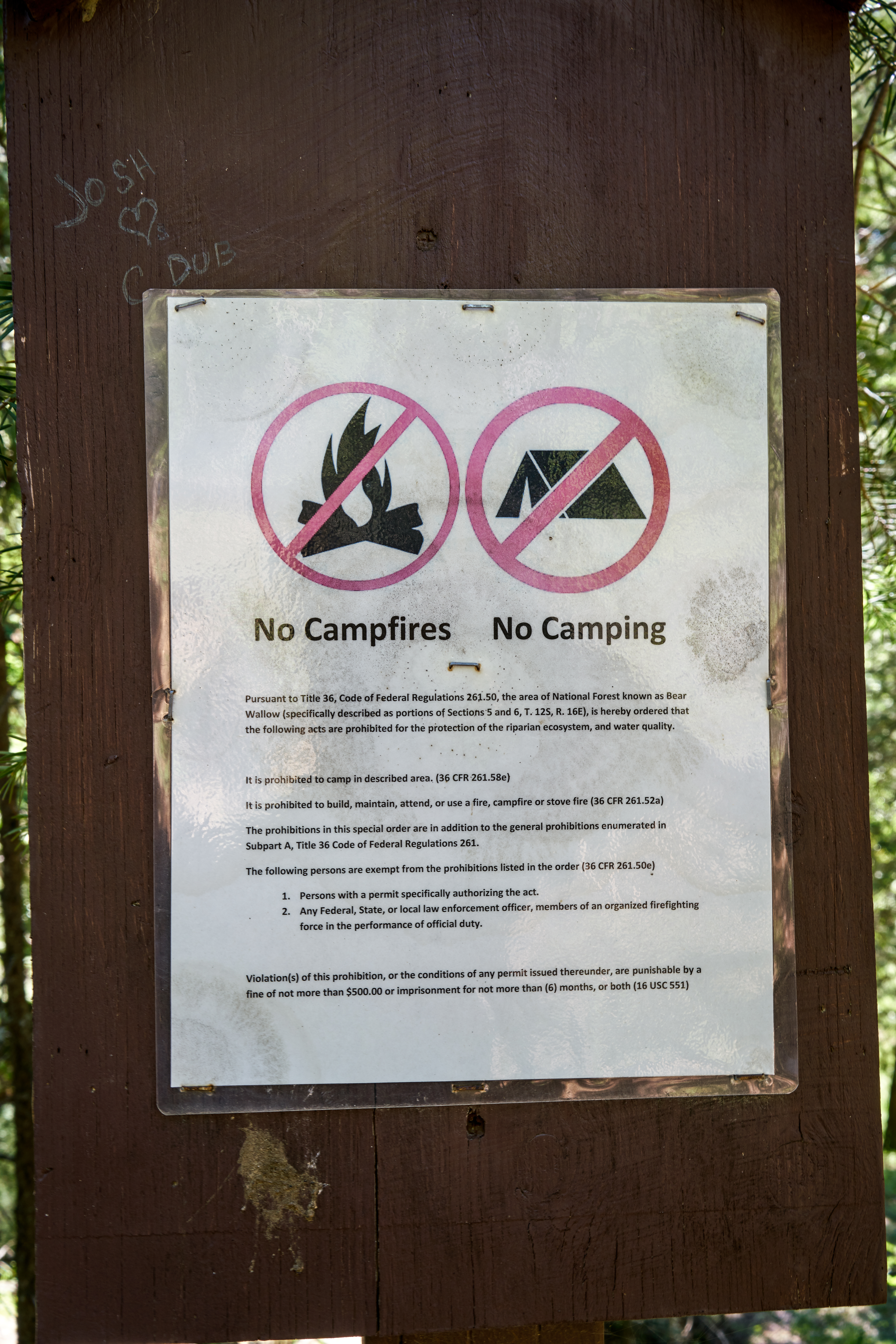
Bear Wallow Campground: A beautiful area for a hike, probably the best single spot for Fall color in the Santa Catalina Mountains and the first official campground on the mountain (established in 1921!) – but it has been closed to camping for decades…

No camping sign in Bear Wallow. August 2017.
An empty sign holder still standing in the Bear Wallow area - leftover from earlier days... October 2018.
An empty sign holder still standing in the Bear Wallow area – leftover from earlier days… October 2018.
A picture from as close as I could find to Google's Bear Wallow Campground marker - perhaps inviting but no campground in sight and in fact Camping is not permitted in this area. August 2017.
A picture from as close as I could find to Google’s Bear Wallow Campground marker – perhaps inviting but no campground in sight and in fact Camping is not permitted in this area. August 2017.

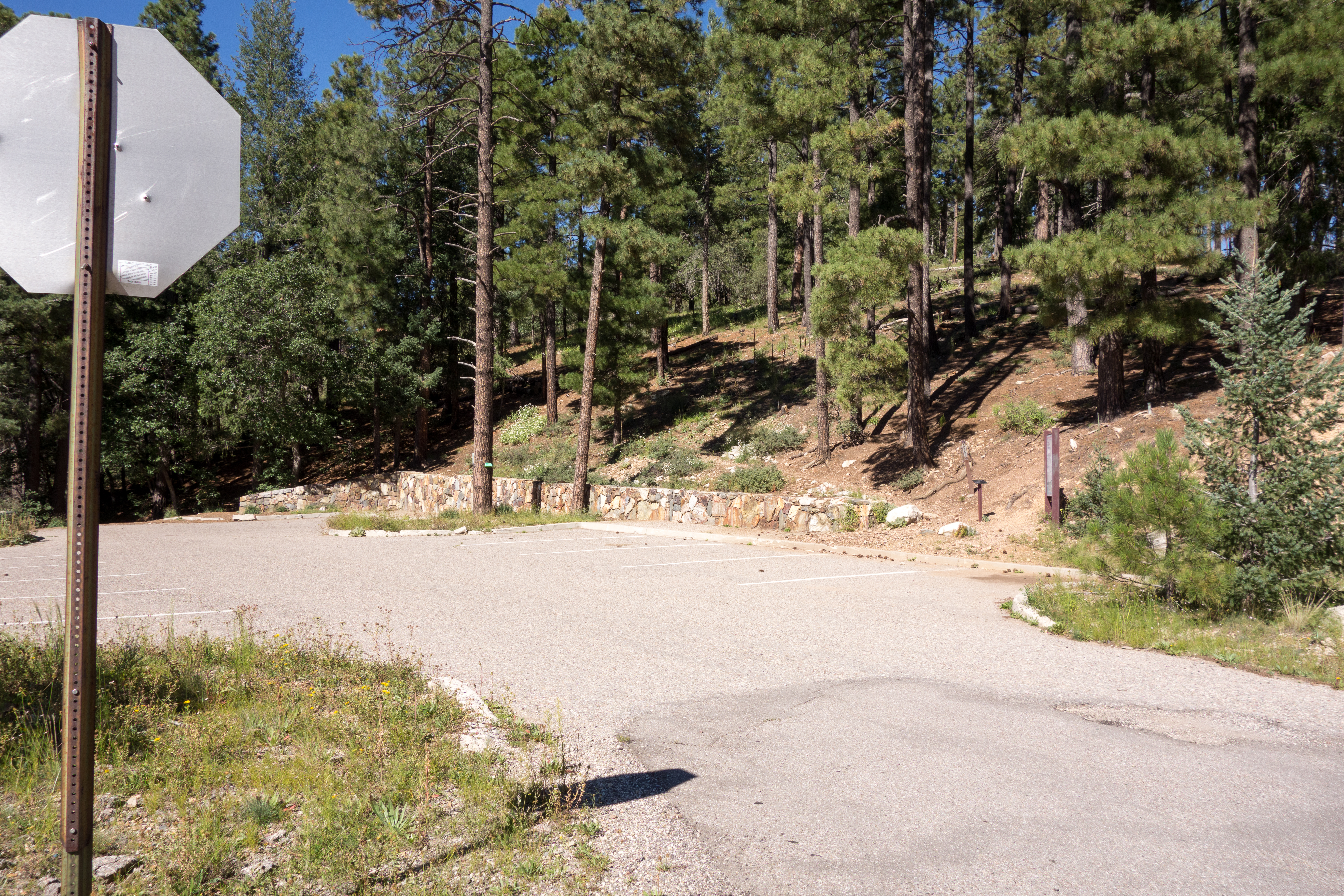
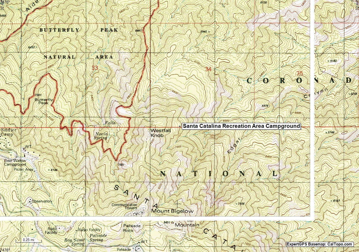
Santa Catalina Recreation Area: Well, I guess unlike the previous two examples you could legally camp at, or in many places near this marker – but that is true of most of the Santa Catalina Mountains that (like this spot) are away from roads and ‘civilization’ – there is no road or trail to this area and if there is an opposite of ‘Campground’ this might be it…

Google's Santa Catalina Recreation Area Campground Marker on a USGS topo map. January 2019.
Google’s Santa Catalina Recreation Area Campground Marker on a USGS topo map. January 2019.

In the case of Google Maps the map interface features a ‘Suggest an Edit’ button that allows you to submit potential corrections – I have submitted corrections to the campgrounds above perhaps by the time you look they will be corrected…

I’m sure, especially as you really dig into the details, that there are more interesting mapping oddities, mysteries and errors in the Santa Catalina Mountains – leave a comment if you want to share one!

Pockets of Fall Color – 10/16/2017

Beautiful colors in Bear Wallow. October 2017.

In Tucson it is still hot, the only hint of fall a slight cooling trend that takes us down into the low 90s by the end of the week. After being trapped inside for a few days by illness the cool air and fall colors in Bear Wallow were a pleasant surprise. It was great to see so many hikers out and about, many with cameras and tripods capturing the fleeting change of seasons.

Changing colors in Bear Wallow. October 2017.

There is more color on the mountain than you might expect – Bear Wallow might be the best single stop in the Santa Catalina Mountains for fall colors, fun to visit camera in hand – but what I really love is stalking the smaller pockets of color scattered across the higher areas of the mountain. Today we hiked around the top of the mountain, wandered down from the Box Elder Picnic Area and pointed at distant hints of color thinking ahead to next week…

Below the Box Elder Picnic Area looking over colorful Aspens at Marble Peak . October 2017.
Aspens near the top of Mount Lemmon. October 2017.

Fall Color – 10/24/2016

Bare Aspens near the top of the Red Ridge Trail. October 2016.

The Aspens along the Red Ridge Trail are bare – from the Aspen Trail we can see a few trees still with fall colors – but the best color is lower on the mountain where the walk from the Sunset Trailhead into Bear Wallow on the 1918 Trail flows thru red and yellow maple leaves in the trees, and on the ground…

Last fall colors in the Aspens from the Aspen Trail. October 2016.
Fall color - Maples in Bear Wallow. October 2016.
Fall color – Maples in Bear Wallow. October 2016.


1918 and Bigelow Road, Fall Colors, Construction – 10/20/2014

1410 Fall Color
Fall color above the the 1918 Trail. October 2014.

There was steady traffic on the highway and every trailhead I could see had at least one car – on such a lovely day it was inspiring to see so many people out enjoying the mountain. I parked at the Sunset Trailhead and took the unsigned 1918 Trail – the trail runs along a stream near the highway and into the Bear Wallow area – never far from the road, but so beautiful with the fall colors that the sounds of the cars are easily forgotten.

1410 Fall Color along 1918
Bright fall color in the sun along the 1918 Trail. October 2014.

Eventually I turned onto Bigelow Road – steady running to the top – back the way I came. 1918 and Bigelow Road to Mount Bigelow and back the same way – 7 miles, +/- 930′ elevation gain/loss (round-trip).

The changing leaves have been featured in several recent articles – both have some suggestions about places to go to see the colors: Autumn leaves flush Catalinas with color, Douglas Kreutz, Arizona Daily Star – and Hittin’ the Trails 4 You: Mt. Lemmon’s Fall color hot spots, Jeff Beamish, KVOA.com.

Another great post to with some fall colors in the Santa Catalina Mountains is Sirena’s Happy 5th Anniversary! – congratulations to Sirena on her blog’s 5th anniversary! Sirena’s Wanderings is a GREAT source of information and inspiration!

Road construction is on-going – on the weekends there are no delays but areas like the one below (with the pavement removed) located just down-mountain from the Ridgeline Parking Pullout are likely to cause delays on the weekdays…

1410 Construction on the General Hitchcock Highway
Pavement removed – construction underway – there are no current delays on the weekend days, but expect delays during the week – just below the Ridgeline Parking Area. October 2014.