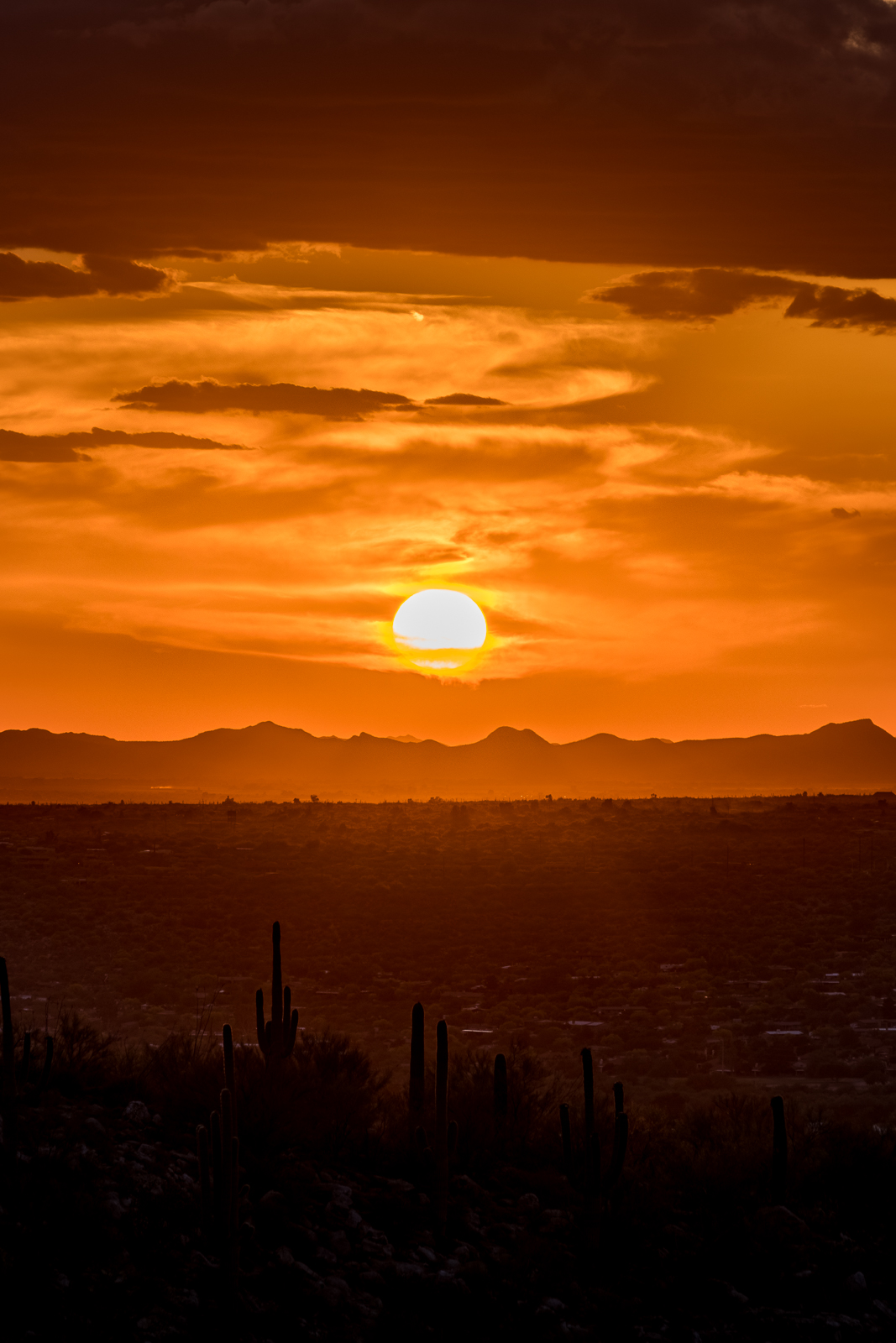
Light and clouds on the Mountains north of Catalina State Park. January 2017.
Dark pictures, but a happy start to 2017 – what a joy to be outside watching clouds hide and reveal the peaks in the Santa Catalina Mountains – eventually the flat grey of the rain is all around us and, with a smile, we make the short hike out.
Thank you to everyone who visited this site in 2016 – I hope you found it inspiring, useful and informative – I am looking forward to adding more posts and content in 2017!!!
The Cleaver. January 2017.Rain slowly covering the Santa Catalina Mountains. January 2017.
The Home Owner Association at Honeybee Ridge has put up a sign saying that trail access via the easement off of Quiet Rain Dr. will be closed as of October 1, 2016.
There are differences of legal opinion as to if the HOA has the authority to do this. Regardless of if they have the law on their side, what is clear is the community needs to create a permanent access to these trails.
We need the elected officials to know how important this for the kids and families, businesses, tourism, health and vitality of Oro Valley and the region. HoneyBee/Rail X Ranch Trails offer some of the best beginner trails in the region and are often used in the National promotion of our region.
At the city council meeting on September 7th at the call to the audience the cycling community and other trail users need to show up and tell the mayor and council how important this access point is. We also need to make them aware of other options (AND THE CURRENT LACK THERE OF) for accessing Honeybee trail.
With the current election many in candidates are calling for a new and improved Oro Valley. One that is not known as just a retirement community. Because of this our voice will resonate louder. Please take your time and show up for this meeting. If you can’t make this one, show up at the next one. We are going to need to keep a constant vigil to save our trails.
The meeting is at 6:00 PM on September 7th. at the Oro Valley Town Hall. 11000 N La Canada Drive Oro Valley, AZ 85737
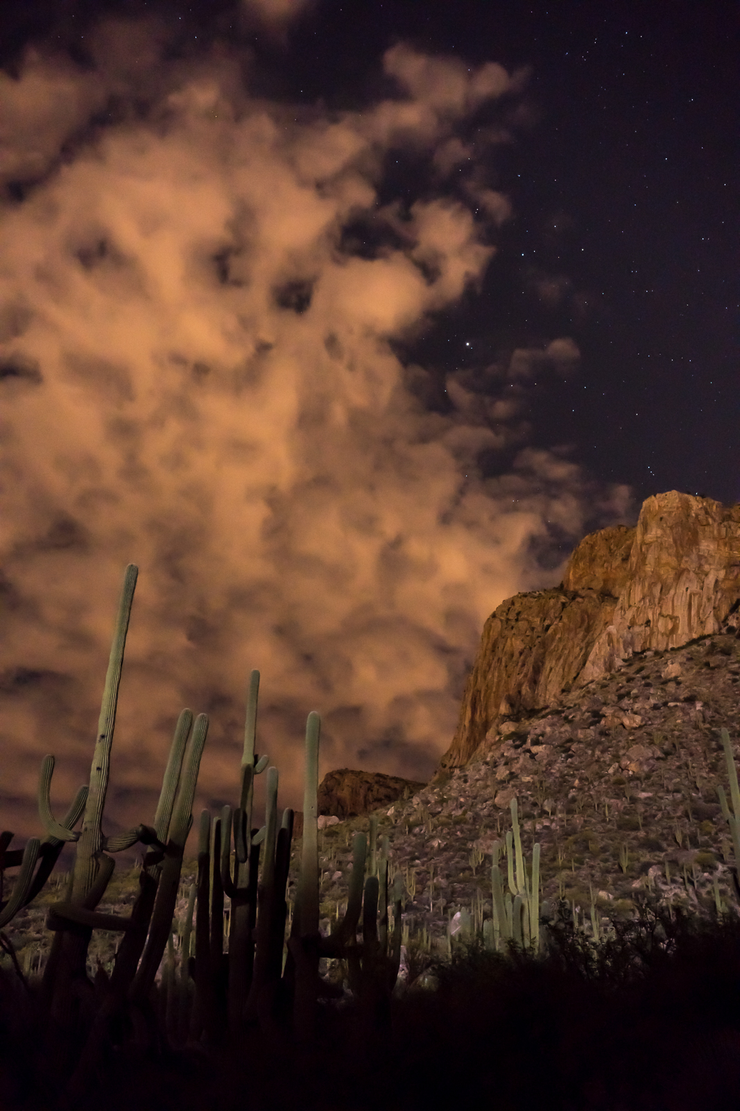
A short hike up the trail, pictures of the sunset and watching the dying light – gradually, as it got darker, we noticed a glow – it was too early for the moon and it took us several minutes to realize that nearby stadium lights were illuminating the landscape – lighting up the clouds, cliffs, ridges and saguaros.
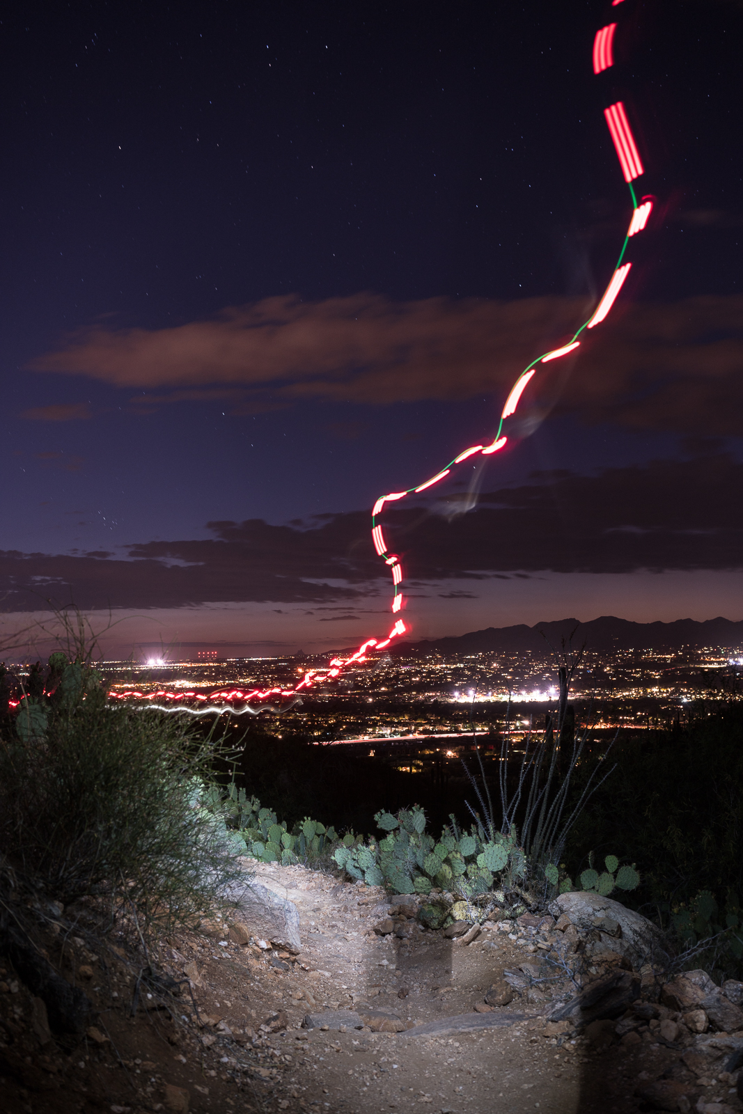
Saguaro, clouds, stars and Pusch Ridge from the Linda Vista Trails. April 2016.Heading down towards Oro Valley by headlamp – Linda Vista Trails. April 2016.In the dark, Pusch Ridge Wilderness. April 2016.
A Gila Monster outwitting my best efforts to get a picture – just above Alamo Canyon. April 2016.Golder Dome – front – and Samaniego Ridge and Peak – back – from Alamo Canyon in Santa Catalina State Park. April 2016.Bighorn Mountain. April 2016.Table Mountain in the sunset from Alamo Canyon – Catalina State Park. April 2016.
The main trails in Catalina State Park are beautiful – but there are many smaller trails and quieter places too, very worthy of time and exploration…
The edge of the storm – Pusch Ridge, Linda Vista Trails. January 2016.
Catalina Hwy closed, 2 feet of snow expected this week – Arizona Daily Star: The Catalina Highway was closed because of weather, there was rain in Tucson and by sunset a beautiful layer of clouds covered most of the Santa Catalina Mountains – there should be some great mountain weather over the next week!
Pregnant Ewe #39554 died during this period – a fall appears to be the reason for the death, disease testing has not been completed and the cause of the fall is unknown (although predation has been ruled out). Another bighorn found dead in Catalinas – Arizona Daily Star.
The collars on the Bighorn Sheep released in 2013 are running out of battery life and are expected to drop off in January of 2016 – it seems to me that the information from the collars will be missed, while there will still be quite a few sheep with collars the alerts from the collars have helped provide very interesting mortality information.
The yearly trail restrictions on off-trail travel in the Bighorn Sheep Management Area are now in place and will last until April 30 – this page has the details.
Arizona Zipline Adventures is getting closer to opening – located off of Mt. Lemmon Road past the American Flag Trailhead outside of Oracle Arizona Zipline adventures is planning on offering an eco-zipline tour, hiking trails, gold panning and team building activities with your corporate, family or school groups along with deli style food, camping gear/equipment and locally-sourced goods. New zipline in Oracle provides high and fast adventure over the desert floor – OroValleyVoice.com, Adventures opening soon – CopperArea.com
Kick off 2016 with an invigorating hike – Arizona Daily Star: I hope you have been able to get out and enjoy the great outdoors in 2016 – one option for getting out on the 1st was Arizona State Park’s “First Day Hikes” program that included a hike on the 50-Year Trail in Catalina State Park. Catalina State Park and Oracle State Park host a wide variety of events – well worth checking their calendars for interesting opportunities!
Rescues/Accidents/Incidents including information from the SARCI Newsletter:
Box Camp Trail – 11/29: Hikers on the Box Camp Trail decide to continue down rather than hike back up – they loose the trail and one hiker continued on for cell phone reception, he was eventually brought out by helicopter. A search was set in motion for the other hiker who had been found and helped by other hikers.
Finger Rock Trail – 12/4: Hiker ran out of water and becomes exhausted – called for help but was able to continue down.
Injured hiker rescued from Ventana Canyon – Arizona Daily Star: A rescue after a hiker fell 30′ in Ventana Canyon. The SARA report on this incident provided some additional details: “A hiker scrambling around on a rocky pinnacle near the Window pulled loose a handhold and fell about 30 feet. His companion was unable to reach him, but called for help” – the injured hiker was short-hauled out.