Tucson Saddle Club donation sign. October 2015.‘In Memory of Richard Dawson’. October 2015.‘Donated by County Line Riders of Catalina’. October 2015.‘Sheriff’s Posse’. October 2015.Corrals in the Gordon Hirabayashi Recreation Area, Santa Catalina Mountains. October 2015.
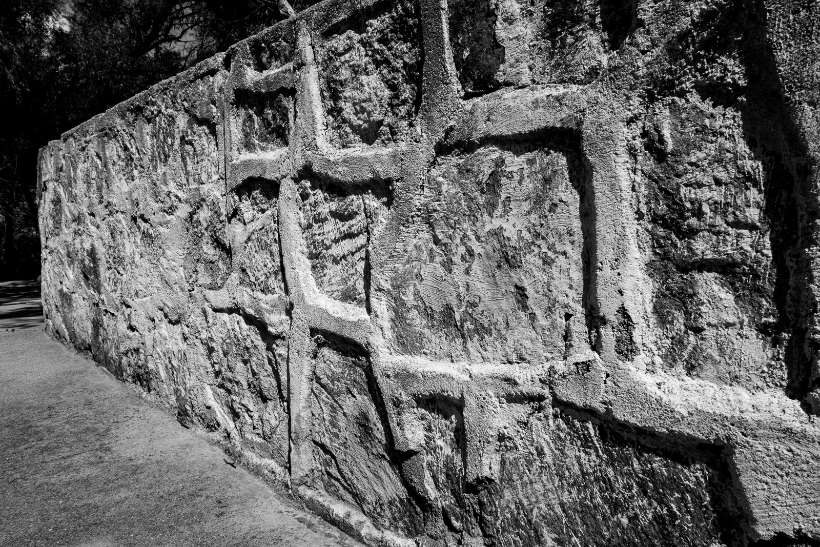
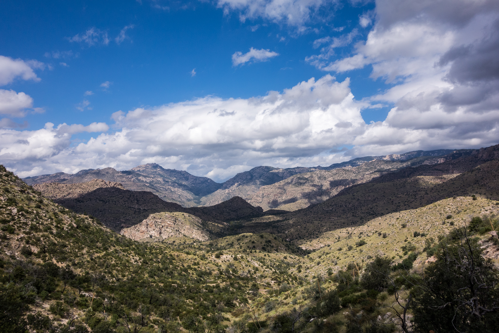
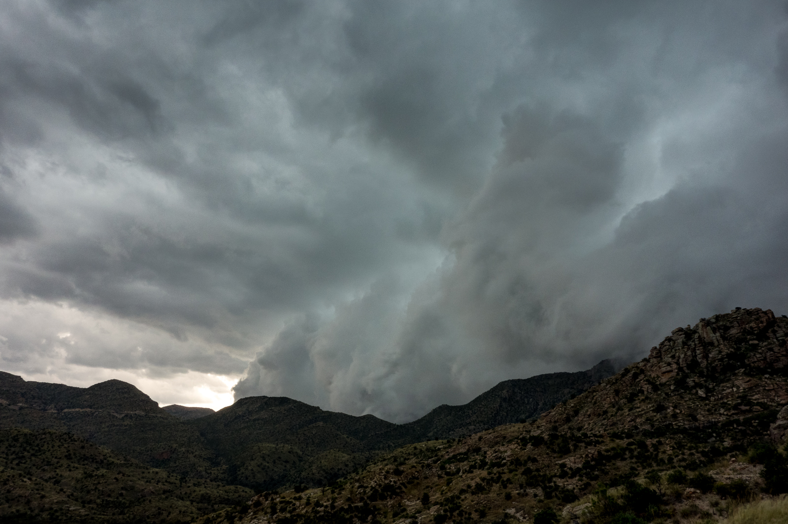
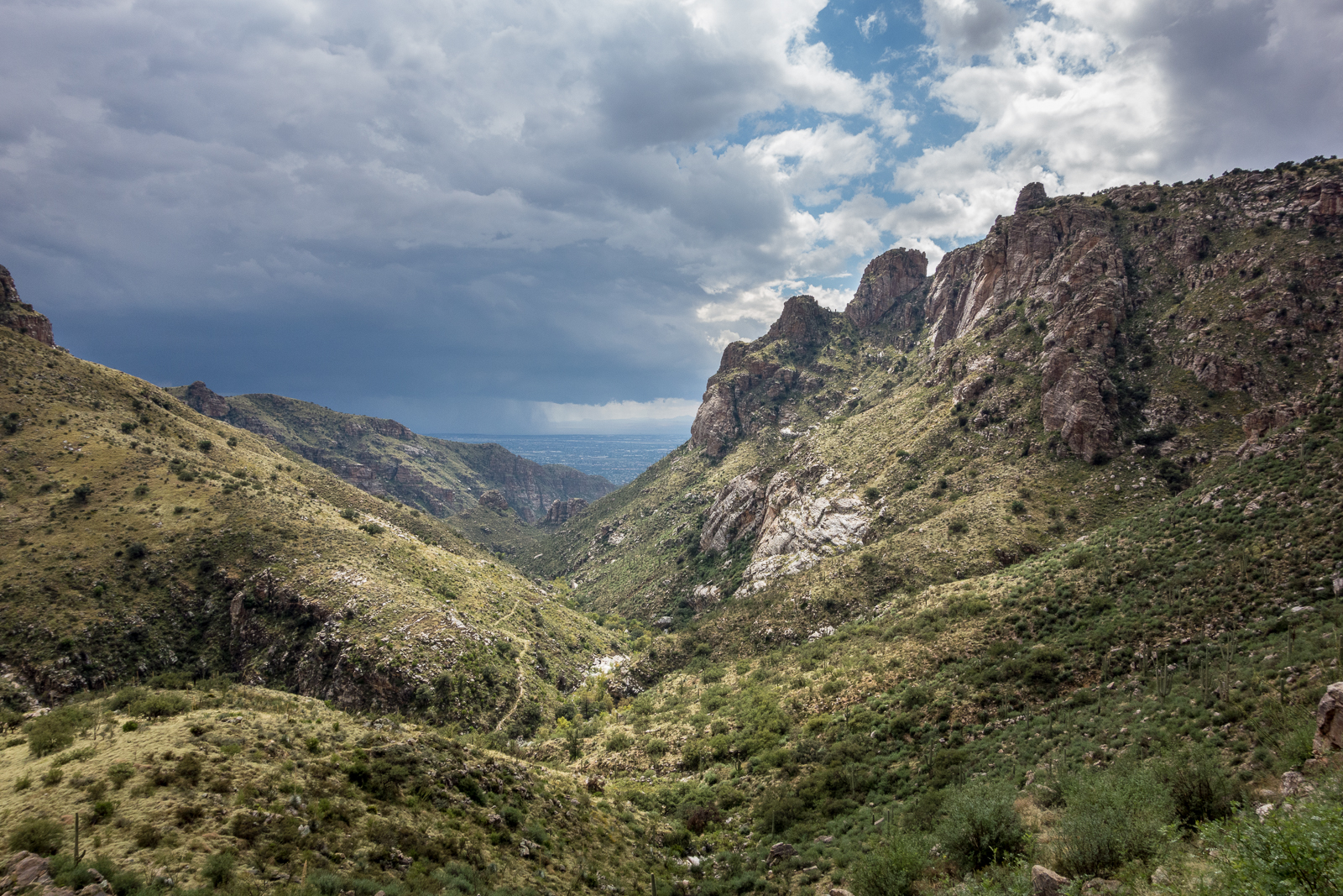
A wall near the top of the Sycamore Reservoir dam. October 2015.Looking across the Santa Catalina Mountains – from near Shreve Saddle, looking down on Sycamore Reservoir. October 2015.Looking back towards the Prison Camp area from the Bear Canyon Trail – fast moving clouds covering the mountains. October 2015.Looking down Bear Canyon – rain in Tucson and a break in the clouds above. October 2015.
Waves of rain and hail were the highlights of the day – it was beautiful to see the mountain covered in clouds and wet with rain!
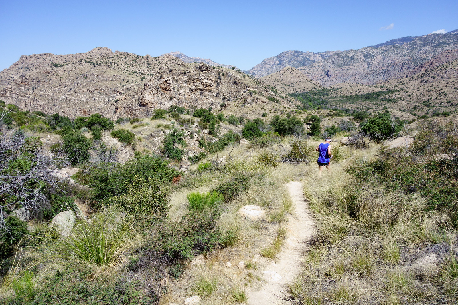
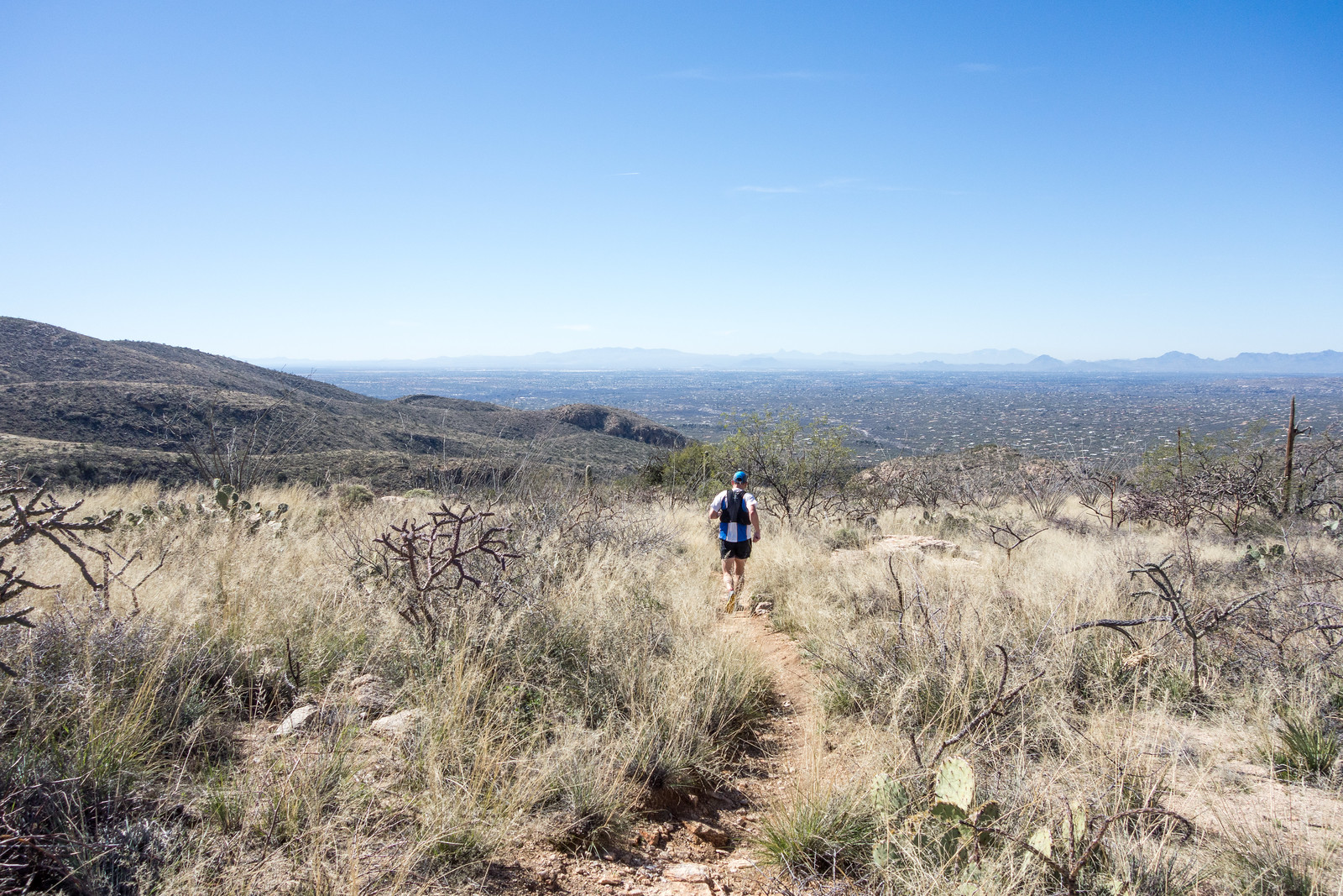
RA running down the Sycamore Reservoir Trail. May 2015.
The gate at the entrance to the Gordon Hirabayashi Recreation Site is closed, the sun is hot and Sycamore Canyon is dry – summer! And a simple day out with friends enjoying the trails!!
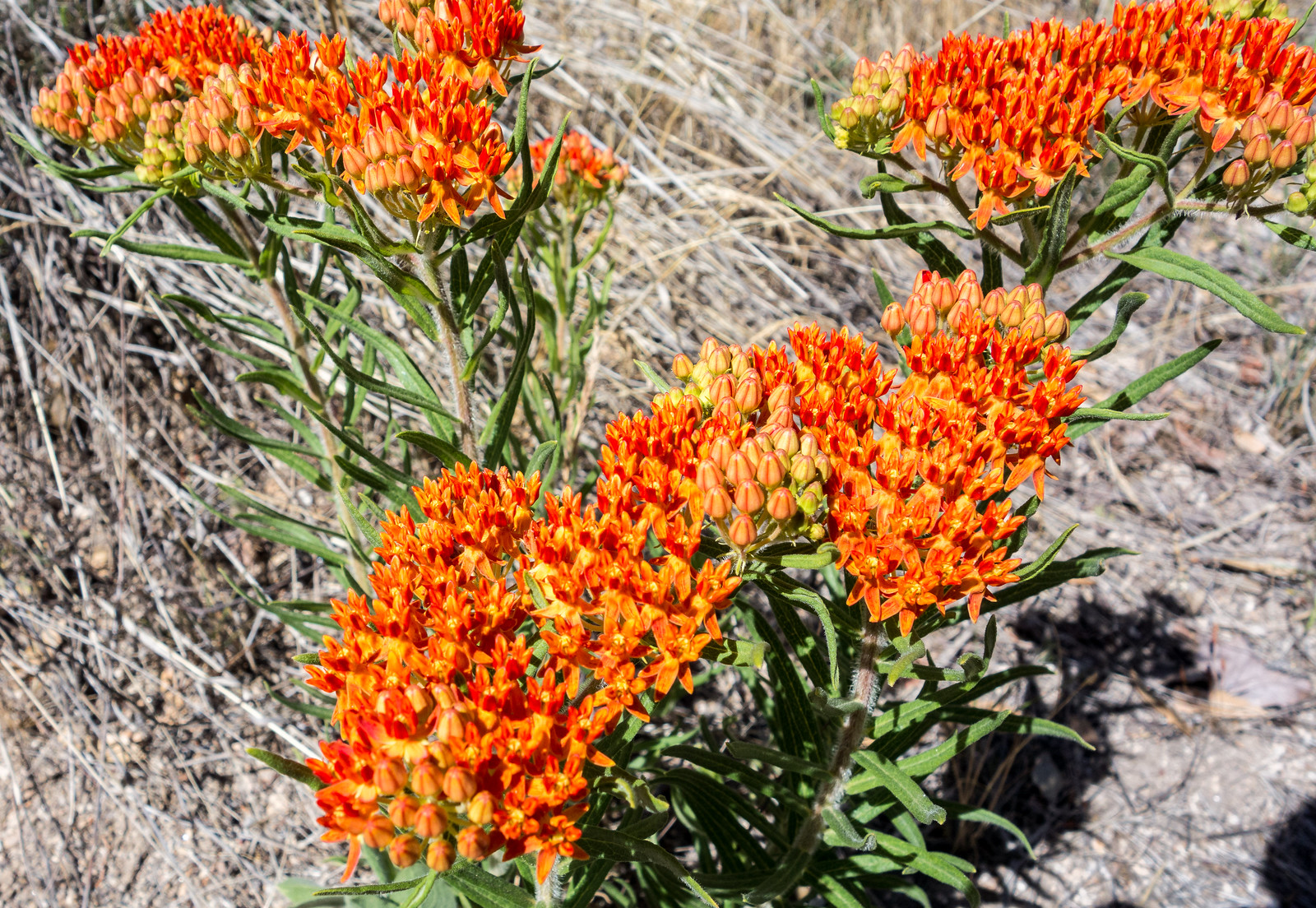
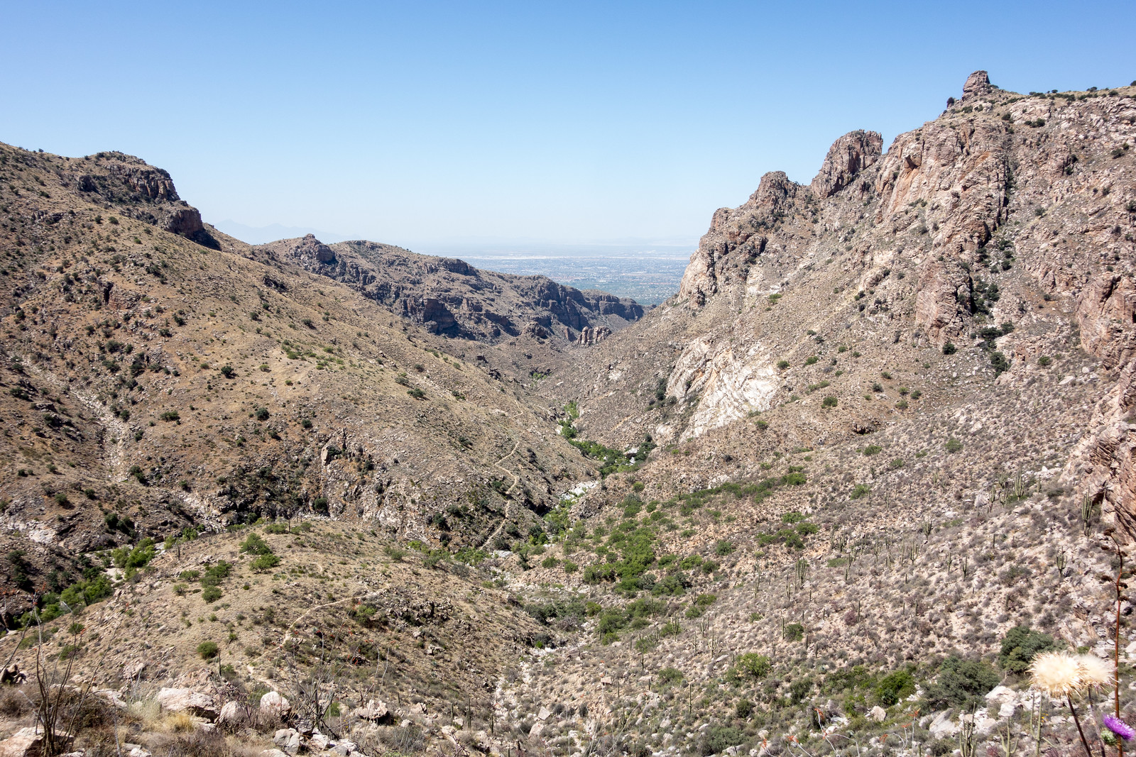
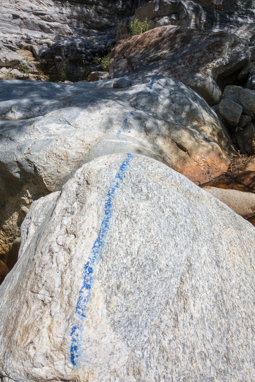
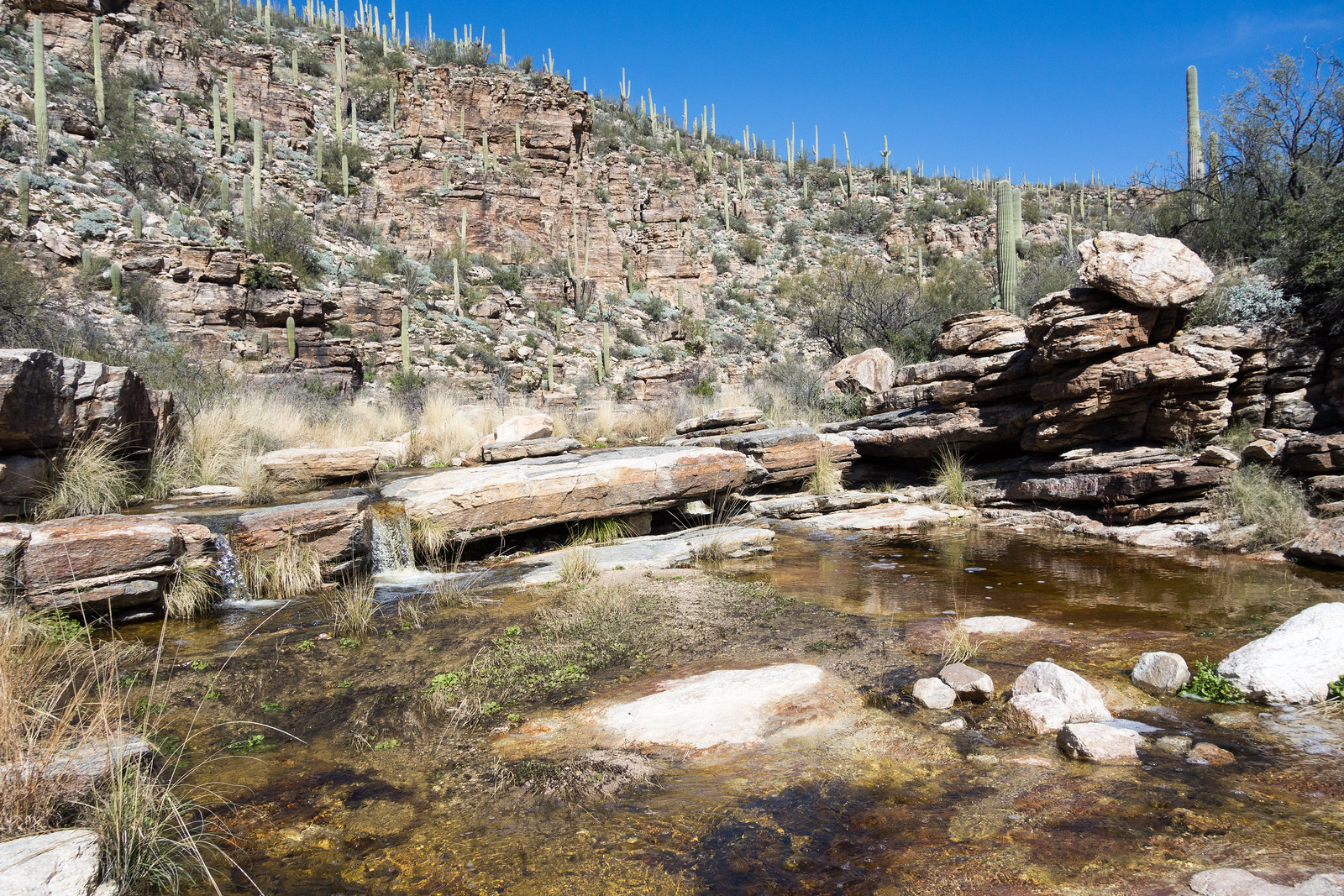
Butterfly Weed along the Sycamore Reservoir Trail. May 2015.Looking at the Bear Canyon Trail disappearing down towards Seven Falls. May 2015.The ‘Blue Line’ – a well known landmark along the Bear Canyon Trail. May 2015.
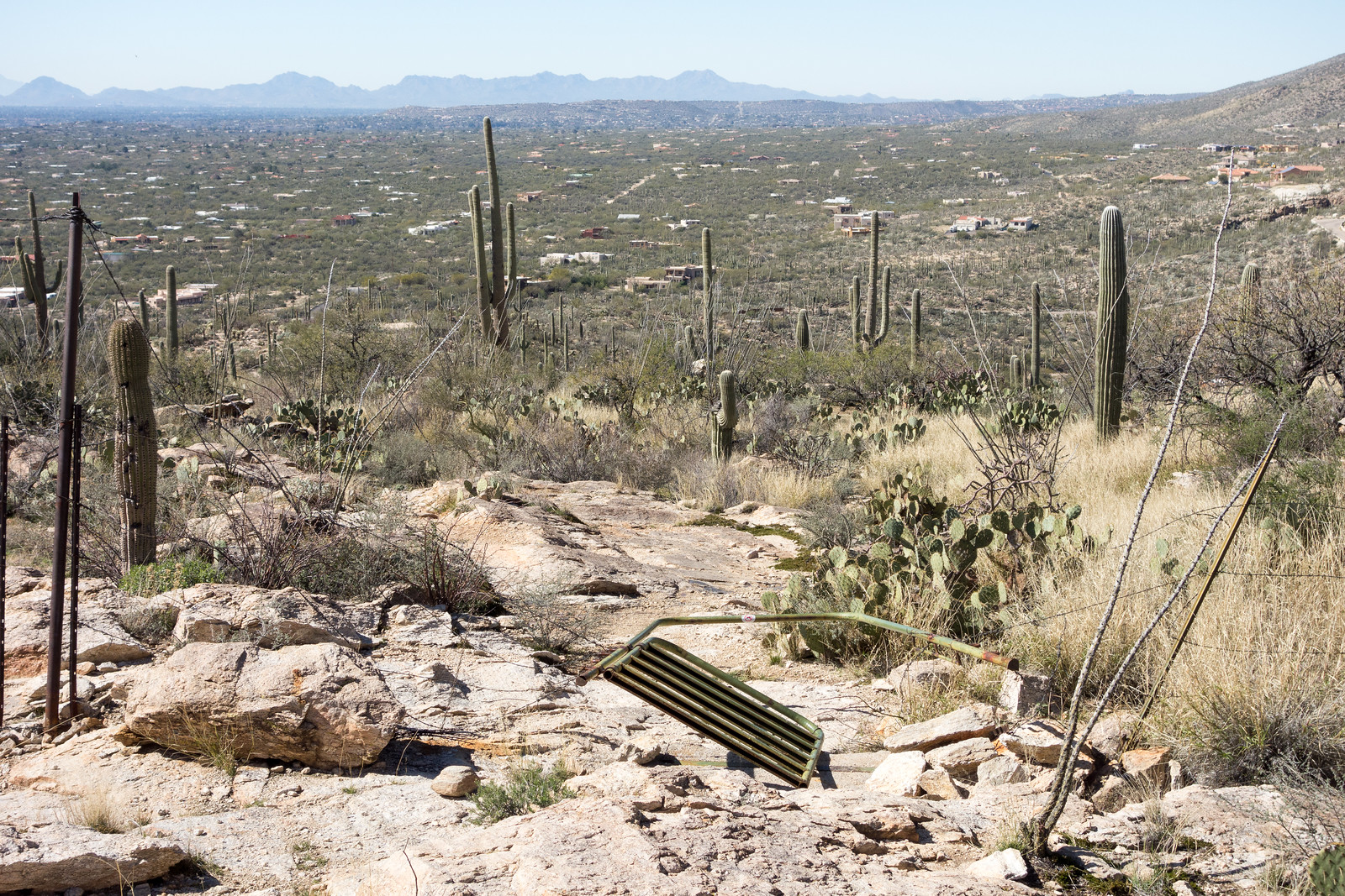
On the ridge between the La Milagrosa and Agua Caliente Canyons. February 2015.Crossing La Milagrosa Canyon – we kept our feet dry here but they got wet in the crossing close to the road! February 2015.The gate – recently fallen. February 2015.
We started at the Bigelow Trailhead, walked past the gate that closes Organization Ridge Road to public motorized traffic in the winter and continued on to the Palisade Trailhead. The road was icy and there was just enough snow at the trailhead to give a pleasant hint of winter, but not enough to require anything other than a little caution.
Palisade Trailhead with snow – Organization Ridge Road is closed seasonally to motorized vehicles so we parked at the Bigelow Trailhead and walked the road. January 2015.
We could hear Palisade Canyon flowing below – it looked like quite a bit of water from the trail – walked snowy sections of Palisade Trail where the shade preserved the remains of the last storm, paused for birds and enjoyed the polished stone in Pine Canyon before reaching Mud Spring.
A cairn marking the Mud Spring Tank is surrounded by dead ferns. January 2015.
The waterfall in Pine Canyon was roaring away – quite a sight – and we paused just before the trail begins to plunge downwards to enjoy the view – Thimble Peak to Brinkley Point!
A impressive view of the mountains – from near the Palisade Trail looking into Tucson – landmarks include Thimble Peak (near the left), Cathedral Rock and Brinkley Point (on the right). January 2015.
Down to the junction with the East Fork Trail and then up – past the Bear Canyon Trail and onto the Bear Canyon Trail, across Sycamore Canyon, past Sycamore Reservoir where Sycamore Canyon and Bear Canyon were pouring an impressive amount of water over the dam, up to Shreve Saddle and then down the Molino Basin Trail to the car we had left at the Gordon Hirabayashi Recreation Site earlier in the day.
Water from Sycamore Canyon and Bear Canyon rush over the Sycamore Reservoir Dam. January 2015.
Descending the Palisade Trail is a great way to see everything from pine forest to cactus and take in quite a few impressive views. Currently miles 4-6 of the Palisade Trail are distinctly more overgrown and less used than the upper sections of the trail – with some attention and effort you should be able to find the trail, but be prepared to use your map and navigate if needed.
12.8 miles, +1,400’/-4,350′ of elevation gain/loss.