Bighorn Death, Gate Closures, Flowers, Sunset, Fire, Sun

Game and Fish: Another bighorn sheep killed by mountain lion – Jackie Kent – Tucson News Now: A ewe released this November has been killed by a Mountain Lion.

The Bighorn Sheep Restoration Project Status update for 11/13 to 12/3 is now available (all updates are currently available here). The update includes a map showing one week of movement from both the 2013 release group and the 2014 group – at a glance, for this week, the 2014 group was clustered in the southwest part of the range while the 2013 were much more widely spread. It is interesting to compare this data with the maps from 7/21 to 8/3 where the 2013 group appears to have been more tightly grouped into the southwest part of the range – however it may be that the way the data is depicted is not really comparable between the two maps (and the timescale is certainly different).

Seasonal road closures on Mt. Lemmon, roads expected to reopen March 1, 2015: “The Santa Catalina Ranger District of the Coronado National Forest will temporarily close and lock gates Monday December 15 on seasonal roads and day-use sites in the upper elevations of Mt. Lemmon due to expected weather-related unsafe driving conditions.” Note that the gated road remain open for non-motorized use and that the schedule of closing and that it is possible the gates could be closed earlier/stay closed longer due to weather/road conditions.

Recent rains won’t necessarily nurture lots of wildflowers – Douglas Kreutz – Arizona Daily Star: The article notes that the most recent rains are likely too late to create a new large wildflower display. While it is not prime wildflower season there are still a surprising number of flowers in the mountains – but with colder weather predicted for the weekend they may not last… 

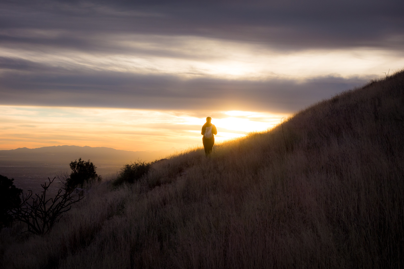
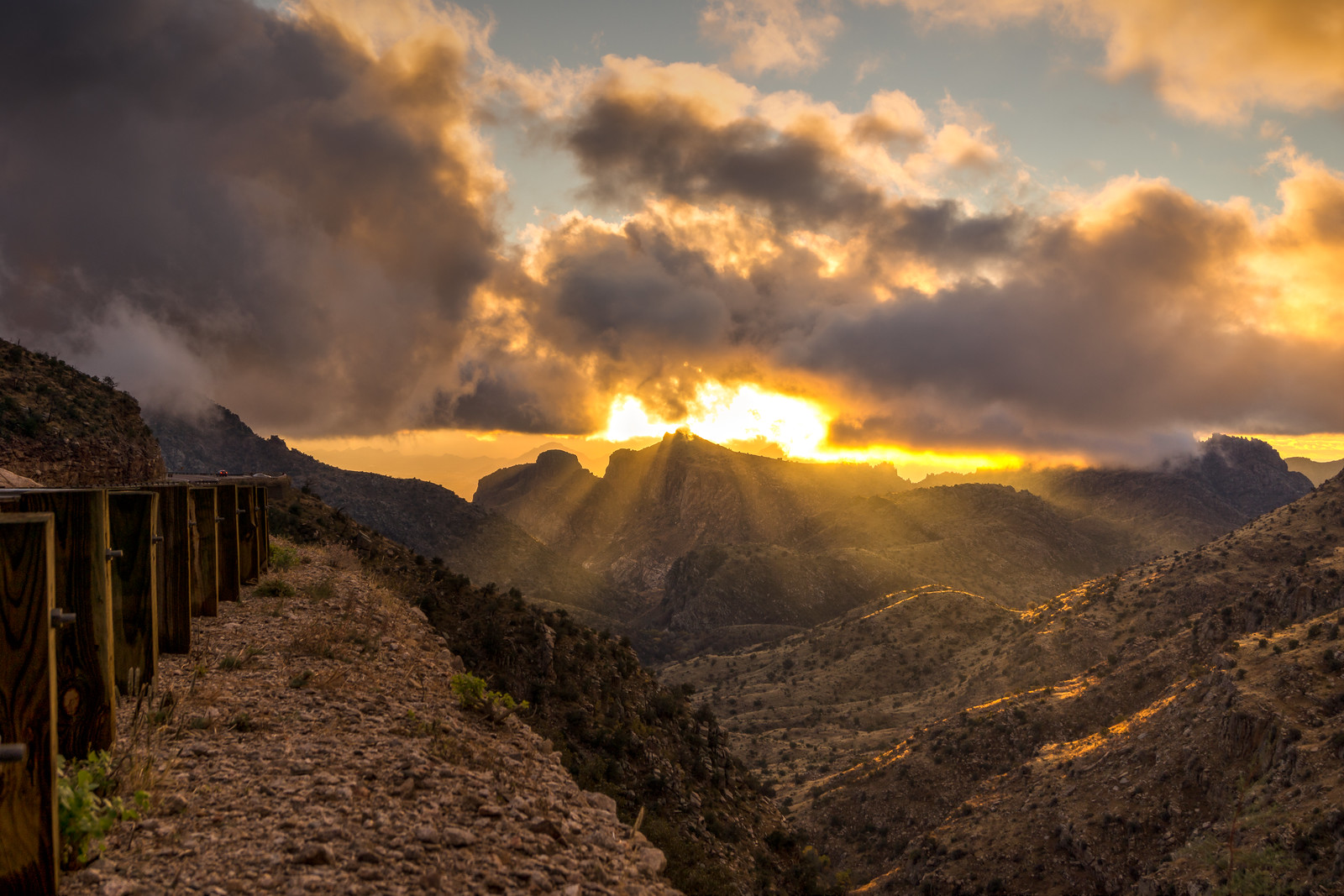
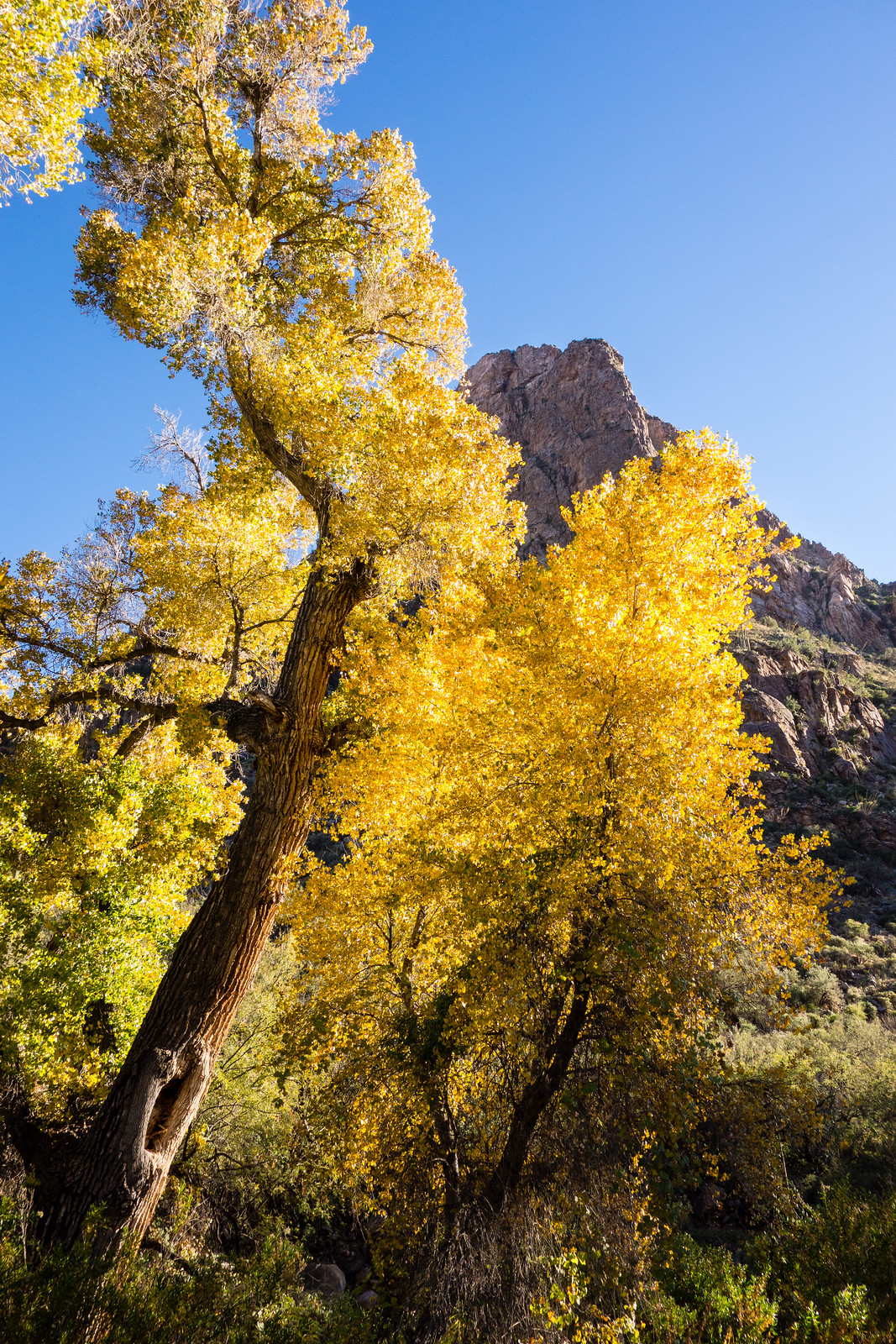
Ventana Canyon lit by magical autumn sunsets– Douglas Kreutz – Arizona Daily Star: An inspiring set of descriptions of the lovely light in Ventana Canyon.

Redington Pass prescribed burning scheduled to begin Wednesday – Anthony Victor Reyes – KVOA.com: Scheduled for 12/10 to 12/12 .

Solar panels bring sun’s power to campgrounds – Douglas Kreutz – Arizona Daily Star: You may have noticed the solar panels on the mountain (in Molino Basin for example) – this article gives some of the details about the panels and what they power.

Molino Basin to Agua Caliente Hill – 12/7/2014

1412 Into the Sunset
Sunset on the Agua Caliente Hill Trail. December 2014.

Climbing up the Bellota Trail out of Molino Basin a Gopher Snake and then a Tarantula stop my progress – not what I was expecting on a December afternoon – but always beautiful to see, I watch them move slowly away from the trail. There is water and mud at West Spring Tank – and in Milagrosa Canyon as I turn south.

I don’t see anyone on the Milagrosa Trail and the ridge between the canyons feels wonderfully far from the city. Trail 46A down into Agua Caliente Canyon – along the bottom – and then the climb to join the Agua Caliente Hill Trail.

A pause at the summit and we start down – the sun, grass and views are stunning! The day fades – we watch the lights come on in the city and finish our in the Agua Caliente Hill South Trailhead just before the moon rises. 13.7 miles, +3200’/-4500′ elevation gain/loss.

1412 Tucson from the Agua Caliente Hill Trail
The Tucson City Lights from the Agua Caliente Hill Trail. December 2014.

Mount Lemmon Trail, Storm – 12/4/2014

The rain started early in the morning – the mountains were invisible from town by the time I started my drive to the top. Clouds floated thru Soldier Canyon at Hairpin Turn and covered the peaks around Molino Basin – the rain brought out the last of the fall colors.

The Summit Parking Area was empty and I didn’t see anyone on the Mount Lemmon Trail – alone with the storm. I knew that the forecast was for rain – not snow – but it was still strange to be at the top of the mountain in December with no hint of snow or ice…

1412 Enjoying the Storm
Enjoying the storm on the Mount Lemmon Trail. December 2014.

I stop a few minutes past the junction of the Mount Lemmon and Wilderness of Rocks trail to enjoy the clouds, wind and rain before starting the climb back up. The rain gauge at the top of the mountain records the last rain just before 2 o’clock – 2.87″ for the day – and on the hike up the clouds start to break.

1412 Clouds Below
On the Mount Lemmon Trail as the storm clears – beautiful clouds below. December 2014.

On the drive down the sun and clouds were spectacular – I was not alone in stopping to enjoy the beautiful light.

1412 Sunset from the Highway
Clouds and sunset from the highway. December 2014.

Finger Rock Trail and Pima Canyon Trail – 11/30/2014

1411 West Side of Finger Rock Canyon
A view of the west side of Finger Rock Canyon from the Finger Rock Trail. November 2014.

Combining the Finger Rock Trail and the Pima Canyon Trail gives you access to miles and miles of great views and notable destinations – Linda Vista, Mount Kimball – outstanding views up to the top of the mountain, Pima Saddle – a unique view down Pima Canyon from the nearby highpoint, Pima Spring and the lovely bottom of Pima Canyon… But it does require some effort – 13.5 miles, +4860’/-4925′ of elevation gain/loss with a car shuttle between trailheads.

1411 Looking Down Pima Canyon from the Pima Canyon Trail
Above Pima Saddle looking down Pima Canyon. November 2014.

1411 Inside the Pima Spring Tank
The inside of the Pima Spring Tank – via camera flash – note the small stalagtites

1411 Setting Sun in the Cottonwoods
End of the day sun and Cottonwoods along the Pima Canyon Trail. November 2014.