A great video on KGUN9 showing the snow on Mount Lemmon yesterday – Snow storm snaps through Southern Arizona, catching campers off guard – as noted in the article the sun was out by the end of the day…
Month: April 2014
Sutherland, Trail Link, 50 Year, Bridal Trail Loop – 2014/4/26
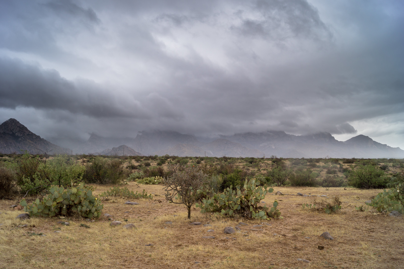
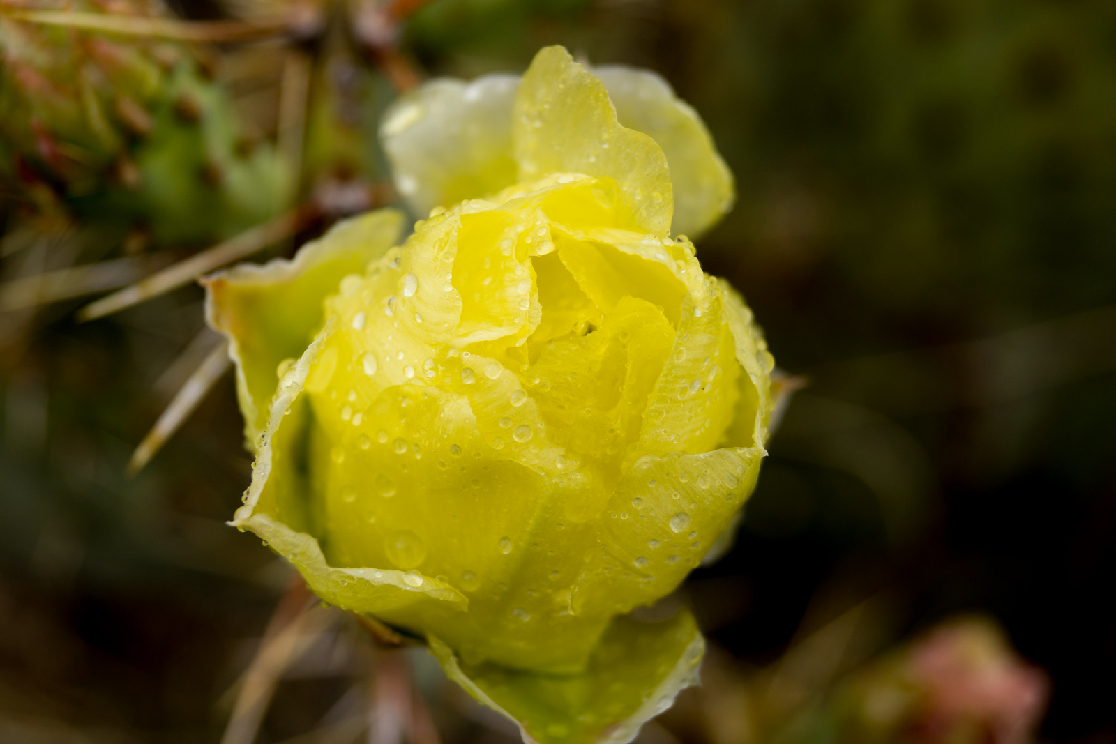
A storm coming thru the area allowed us to enjoy another day at lower elevations – cool weather and even some rain! This loop is about 10 miles and 1000 feet of cumulative elevation gain/loss starting/finishing at Catalina State Park – Sutherland Trail, Trail Link, 50 Year Trail, Bridal Trail – many other options in the area…
Mint Spring, Marshall Gulch, Blackett’s Ridge – 2014/4/19
The gray overcast sky was a surprise and a delight when we looked outside – the temperatures have started to soar, reminding us of summer, but today was quite cool. Summerhaven was not as crowded as I expected for a holiday weekend and we were alone at the Mint Spring Trailhead. We hiked slowly – our friend was testing out a new pack and had it loaded with his overnight gear – savoring the views, watching birds and enjoying the clouds. We turned onto the Marshall Gulch Trail – plenty of water here – and eventually took the road back to the car.
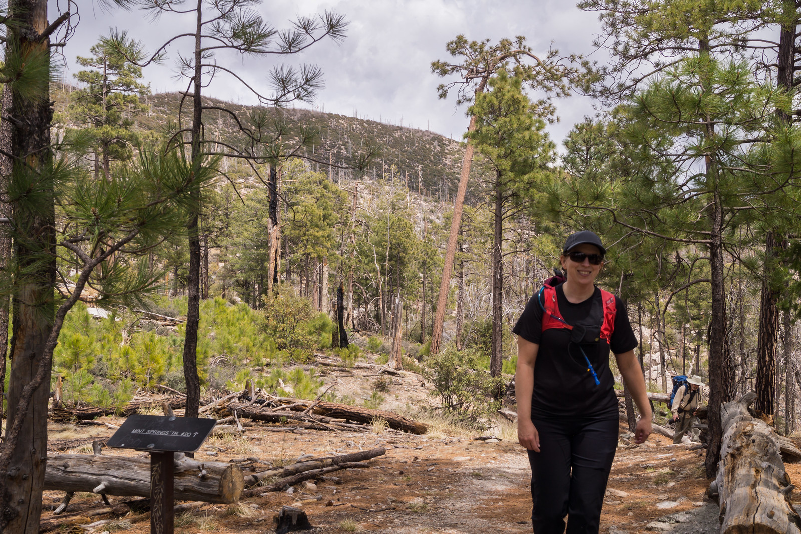
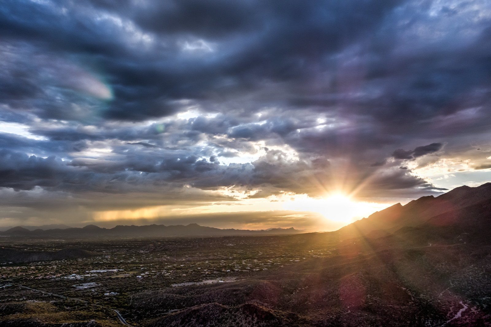
In the evening I met a friend and we ran/hiked up Blackett’s Ridge catching a great sun set from the ridge – a lovely trail with superb conversation – a perfect way to end the day!
Crystal Spring Trail – 2014/4/16
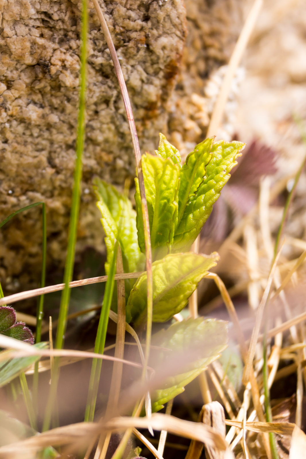
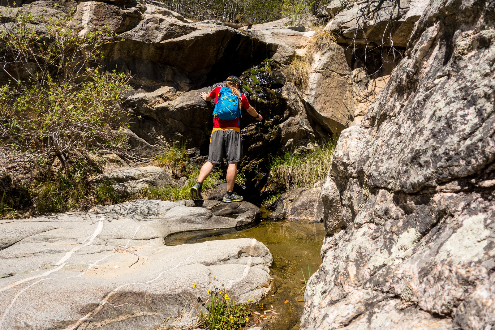
It was cool at the trailhead and for a few minutes I contemplated switching to a long sleeve shirt, but I am glad I did not – it was hot in the sun! Butterfly Trail to start and then onto the Crystal Spring Trail – such a lovely shaded forest start to the trail – the Keebler Tree came more quickly than I expected today, but I continued on without taking a real break. Ferns and other plants are starting to grow along the trail – already almost covering it in tiny sections – but still plenty of brown.
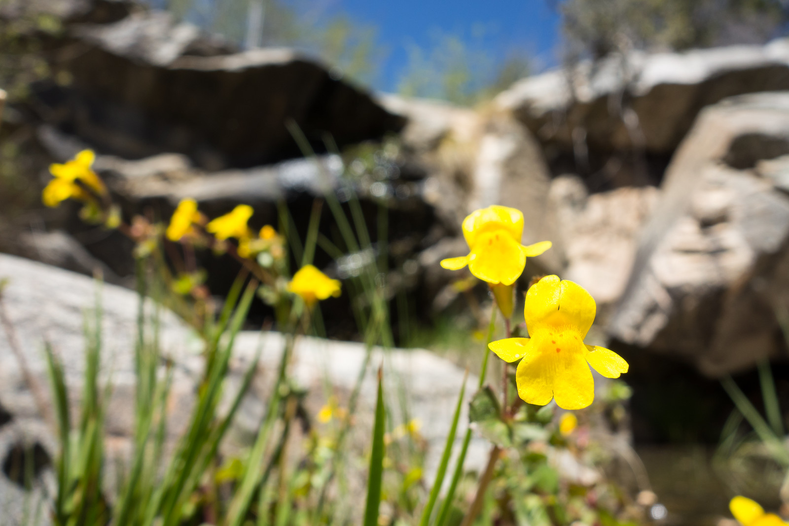
Some of the (many) drainages were dry – but I was glad to see Alder Canyon, the next small falls and the pools/falls just before the Control Road all had some flow.
At the Control Road I turn around and head back – in the burned sections of the trail it is hot – a nice day to be higher on the mountain!
While driving down the mountain I spot a Mountain Biker sitting by the side of the highway in a small patch of shade waving a water bottle – I pull into the Bug Spring Trailhead to make sure I have a little water left and then drive back up to add a little water, ice and soda to his supplies. He is appreciative and friendly – another car pulls up so I don’t hang out and chat, but a few miles down the mountain I think about the cue sheets on his handle bars… and at home I find Aaron among the 2014 AZT750 racers!
4/18 Bighorn Sheep Reintroduction Project Update
Status update for 3/31 to 4/13 (all updates are currently available here).
A few notes:
- No mortalities
- 5th Lamb
- “Females with new lambs are especially sensitive to disturbance” and notes the hiking restrictions and that they are using trailhead postings and volunteers to help remind people about the restrictions
- A map is included showing the movements of 5 ewes for a previous (unspecified) month with all activity centered around Pusch Peak.