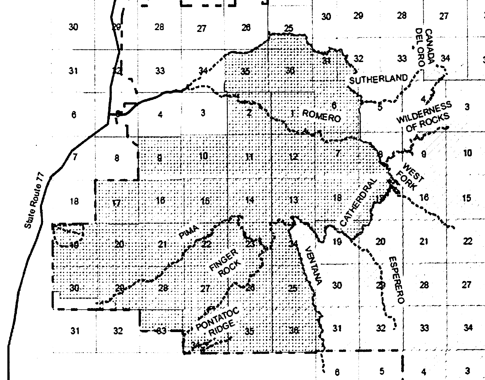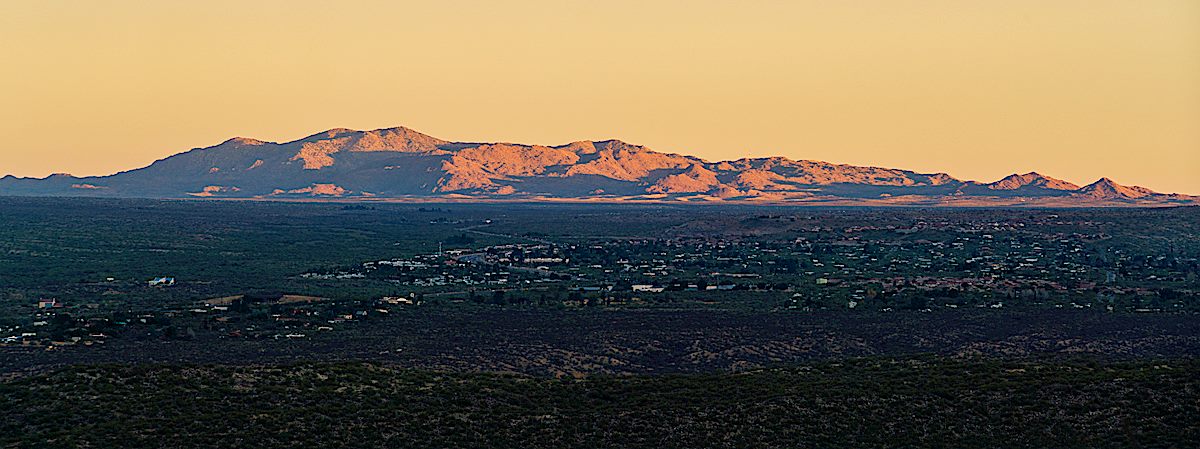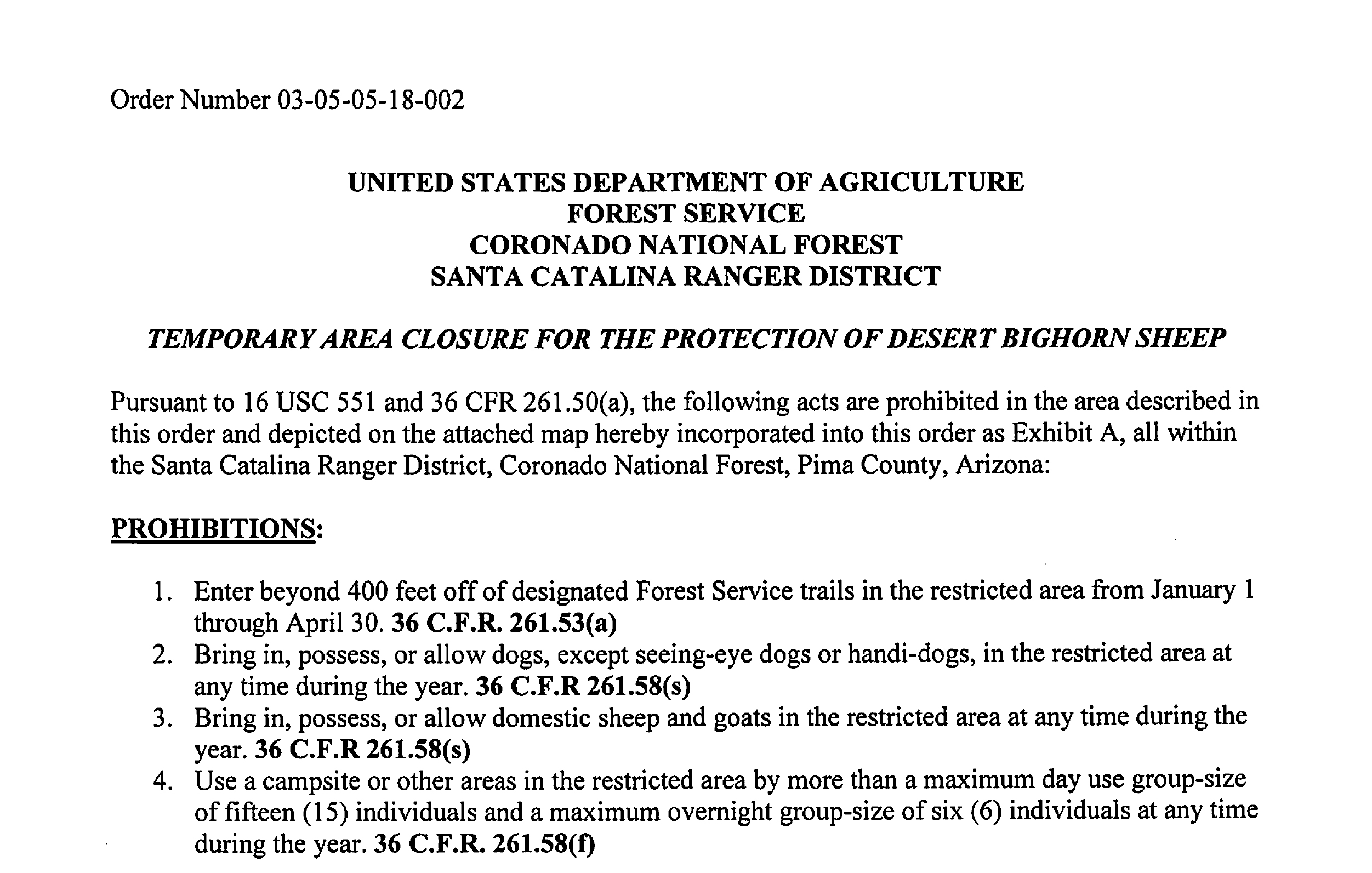
In October of 2017 Kerwin S. Dewberry, Forest Supervisor of Coronado National Forest, renewed the Temporary Closure Order for the Protection of Desert Bighorn Sheep. The closure imposes restrictions a number of restrictions in the Bighorn Sheep Management Area of the Pusch Ridge Wilderness. The closure has been in place since 1996 and the new closure order has two changes from the past few years:
- The closure order runs for 2 years (rather than the 1 year duration of orders since 2013)
- There is an added restriction on domestic goats and sheep (I believe the concern is that goats and domestic sheep can carry diseases that bighorn sheep are vulnerable to).
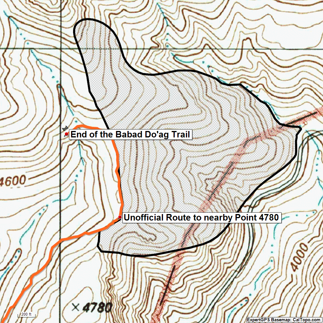
See this link for more details including a map and list of trails impacted by the closure (the Bighorn Sheep Management Area does not cover the entire wilderness area) – the restrictions:
- From January 1 to April 30 travel more than 400′ off of designated Forest Service Trails is prohibited
- Dogs are prohibited except for seeing-eye dogs and handi-dogs – year round
- Bring in, possess, or allow domestic sheep or goats into the closure area – year round
- Maximum group size – day use size of 15 and overnight group size of 6 – year round
There were two new publications specifically about bighorn sheep in the Santa Catalina Mountains in 2017:
In March of 2017 there were a number of presentations about bighorn sheep at the Westward Look Wyndham Grand Resort and Spa – if you attended you may have listened to Brett Blum talk about tracking human visitation via cameras and making detailed observations of bighorn behaviors. This research is presented in Examining the Response of Desert Bighorn Sheep to Backcountry Visitor Use in the Pusch Ridge Wilderness Area. Two interesting details from the paper:
- “bighorn responded to increased human activity by bedding. Bedding likely decreases the potential for both detection or interaction with humans and would be a more energetically conservative approach to avoidance that may be exhibited in part due the predictable nature of concentrated visitor use on established trails.” (p. 27)
- “A study of the former population of bighorn sheep by Schoenecker and Krausman (2002) found 18% of visitors observed engaged in off trail use between 1994 and 1996. In contrast we documented roughly 1.5% off trail use from January 2015-May 2016 suggesting current human use of the PRWA may be largely confined to established trails” … “We speculate that the effects of urbanization around the PRWA may have also inadvertently restricted visitor use to established trails by limiting non designated access points around the base of the study area that were present during the former population.” (p. 28)
Not currently included with the paper is a detailed analysis of the visitation data, Brett indicated in an email that he is “still working with the Coronado National Forest to quantify all the visitor use data” – hopefully this data will be available at a later date!
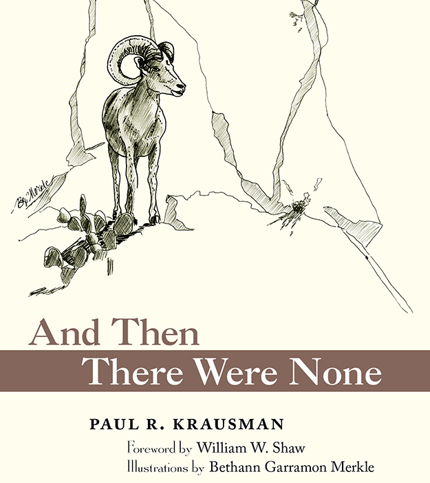
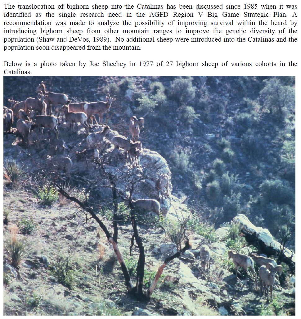
And Then There Were None: The Demise of Desert Bighorn Sheep in the Pusch Ridge Wilderness
Paul R. Krausman has worked on Bighorn Sheep research in the Santa Catalina Mountains for many years and in this book he brings together a wide variety of scientific and historic information about the sheep in the Pusch Ridge Wilderness. I think it is fair to say that the book is written for a professional/academic audience – but it is certainly accessible enough to be interesting to someone like me without a wildlife related degree. Two excerpts that might inspire you to read more:
- “there is no evidence that predation, limited water, disease, or the presence of other ungulates contributed to the demise of the desert bighorn sheep in the Pusch Ridge Wilderness. However, the increasing human population from Tucson and surrounding areas encroaching on bighorn sheep habit, and related urbanization, have not been positive influences… there is strong evidence that urbanization and habitat alteration were major influences in their extinction” (pp. 141-142)
- “when bighorn sheep are translocated back into the Santa Catalina Mountains, they will likely continue to need assistance from humans, including predator control, prescribed fires, periodic transplants to enhance genetic diversity and mitigate the loss of corridors to other mountain ranges, and restrictions on humans in their habitat” (p. 157)