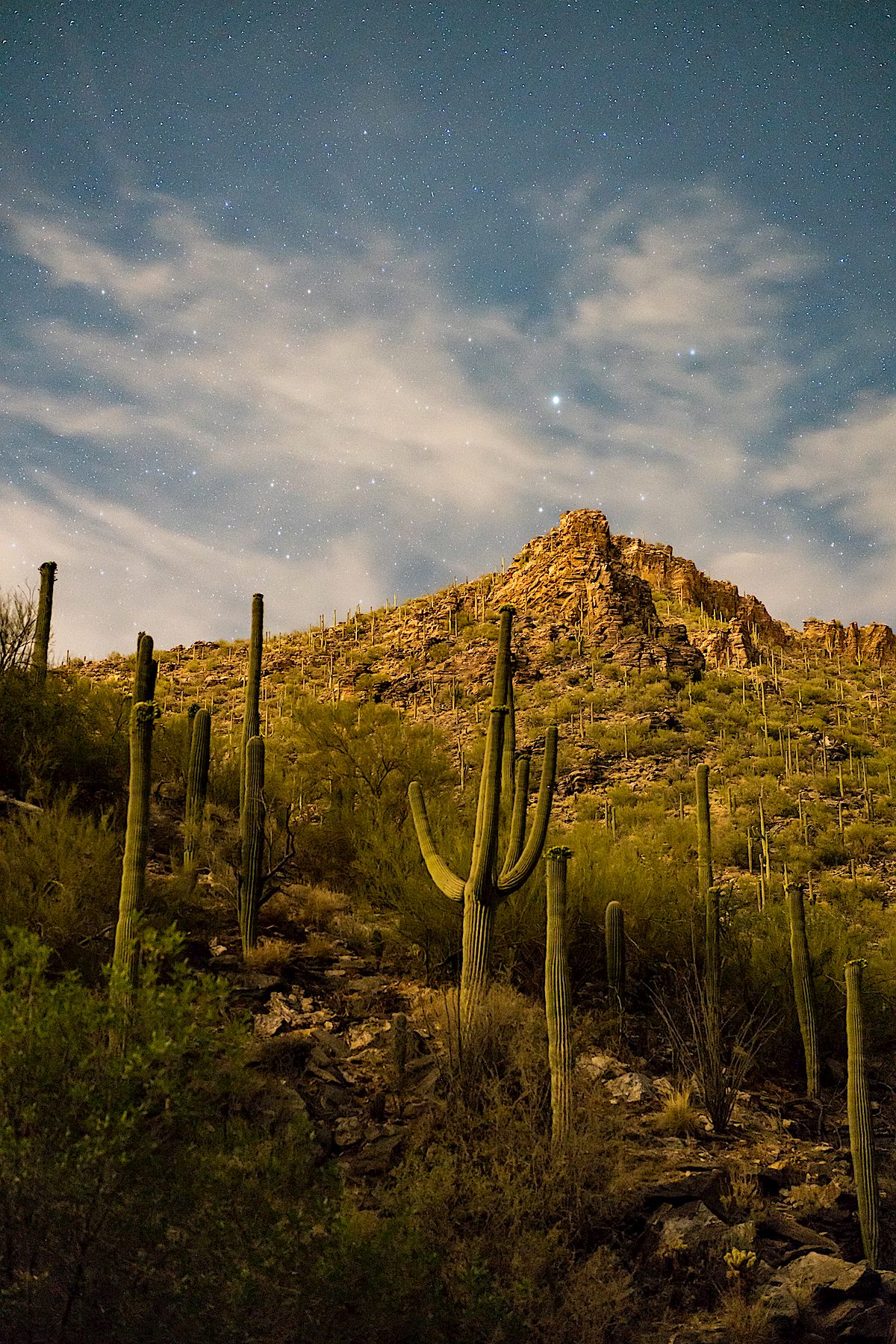
Night, stars, saguaros, night creatures and small pools in Bear Canyon – I’ve seen all of these before, many times, and look forward to seeing them many many many more times…
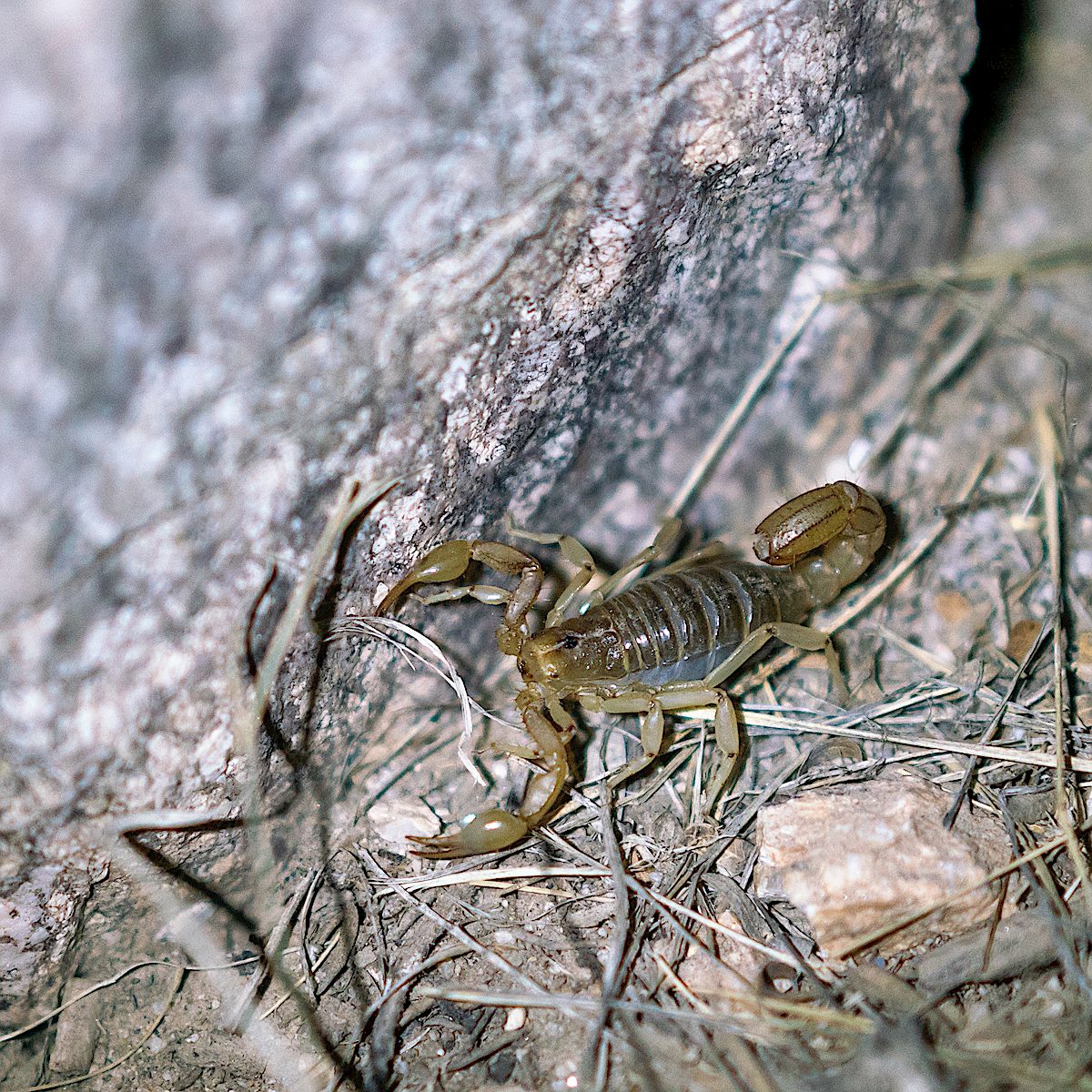
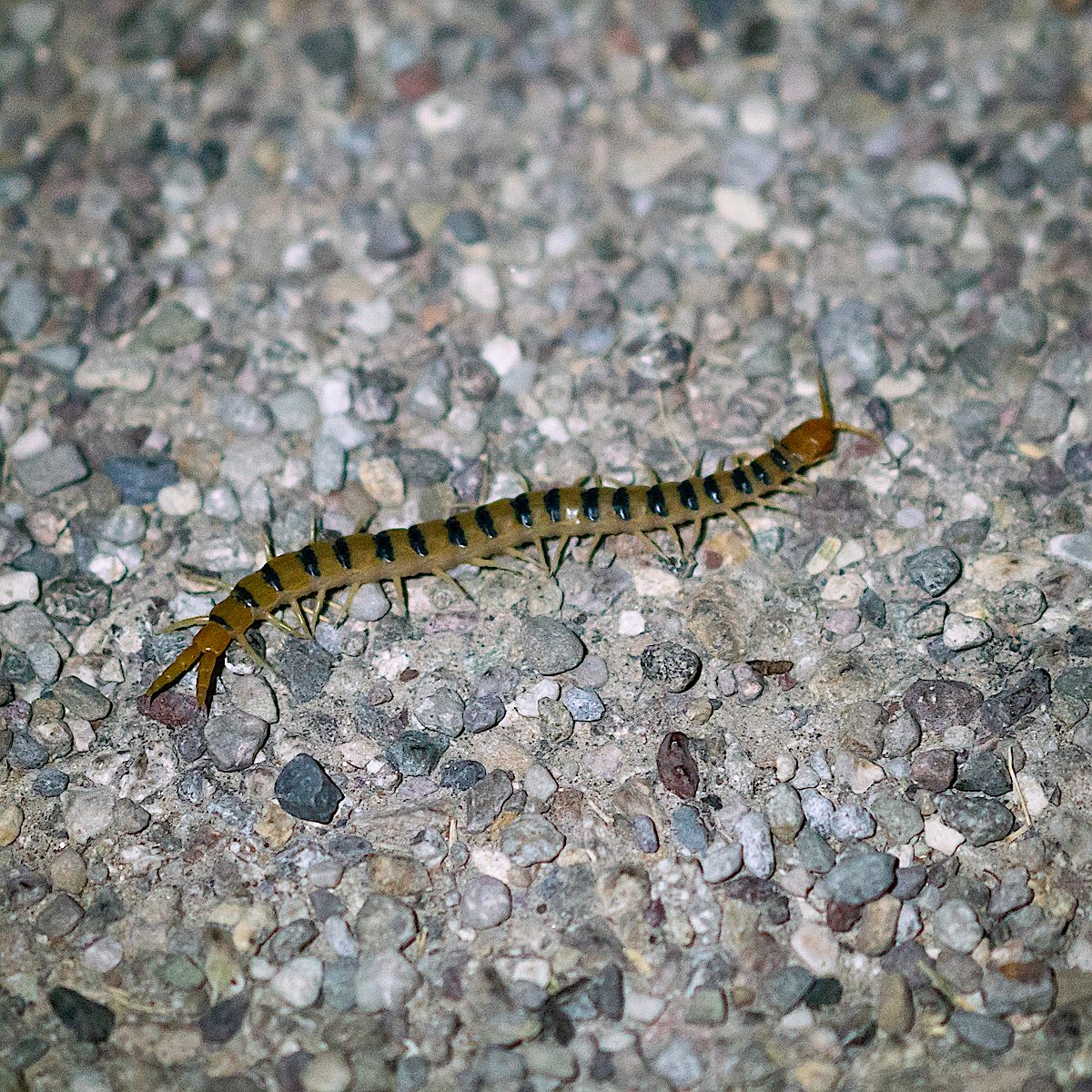
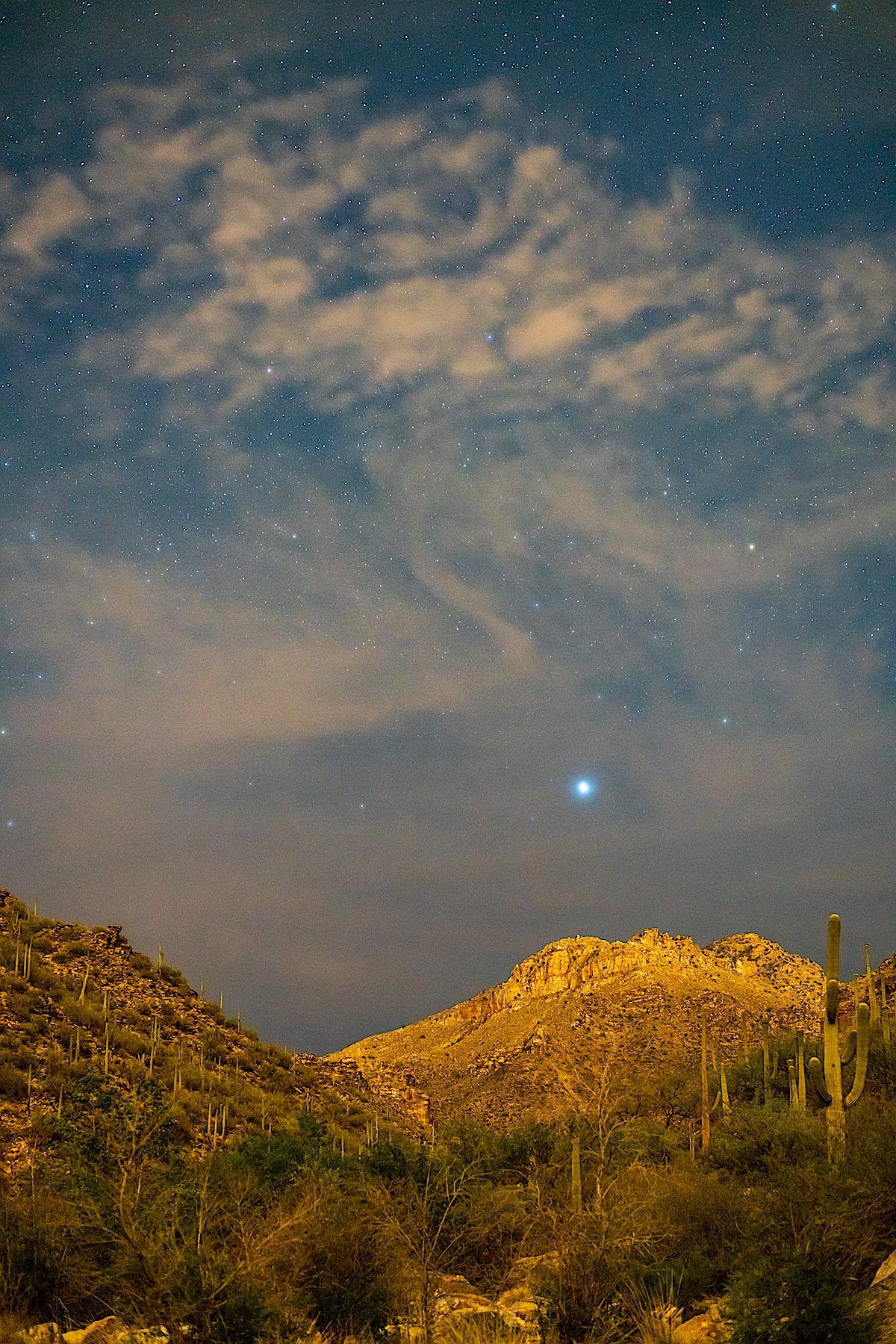
Night, stars, saguaros, night creatures and small pools in Bear Canyon – I’ve seen all of these before, many times, and look forward to seeing them many many many more times…

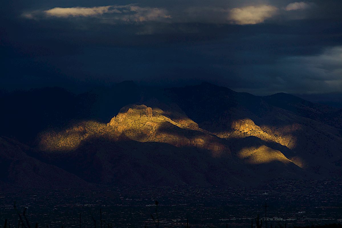
Summer temps are making top of the mountain loops very appealing lately – one of my favorite variations: Aspen Draw (best trail on the top of the mountain for getting a taste of how the area looked before the Aspen Fire), a short trip thru Summerhaven, onto the Mint Spring Trail (admire the small stands of Aspen, take in views cleared by the Aspen Fire and enjoy a stop at the spring – the Mint Spring Trail has been in rough condition in previous years but is looking quite good right now!) and up the Aspen Trail (wander up thru the pines and admire the great views from the final climb to the top – on this trip I took note of the view over Summerhaven, along Alder Canyon and Black Hills Mine Road to the San Pedro River with the Galiuro Mountains and Mount Graham in the background!).

Aficionados of upper mountain loops will probably be well aware of the situation that using the Aspen Draw Trail as your ‘down’ trail presents -> connecting to the Mint Spring Trail or any of the trails that leave from the Marshall Gulch Trailhead will force you to pass the Sawmill Run Restaurant, Stompin Grounds Coffee and Kettle Korn, The Mt. Lemmon General Store & Gift shop and the Mt Lemmon Cookie Cabin… Perilous temptation if you goal is a hardcore fitness outing – wondrous distraction on a leisurely day!


On the one hand the flowers last year were much more impressive – on the other hand even a ‘less impressive’ year still has an incredible number of flowers to see! Photos from a hike up the Pima Canyon Trail to the dam where the only water remaining is in small pools hiding near the cattails…


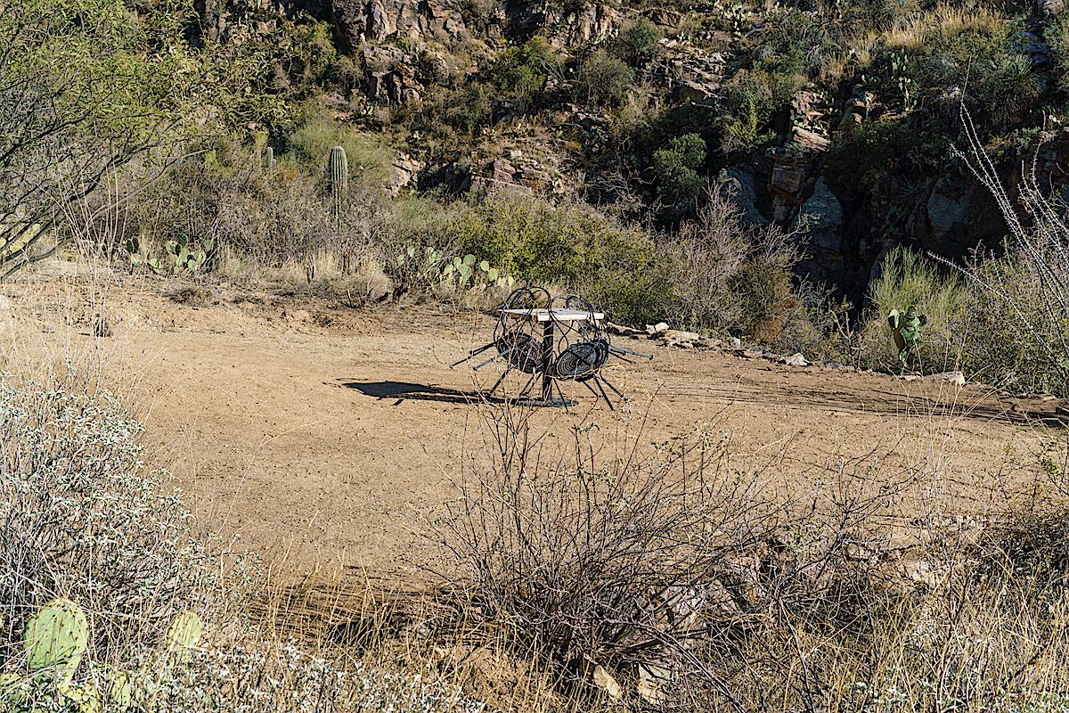
From Alvernon follow the trail until it crosses Pontatoc Canyon, climb to the junction of the Ridge and Canyon trails, turn left, traverse the hillsides north, cross Pontatoc Canyon again and look to your right as you start to climb to catch a glimpse an old earth platform.
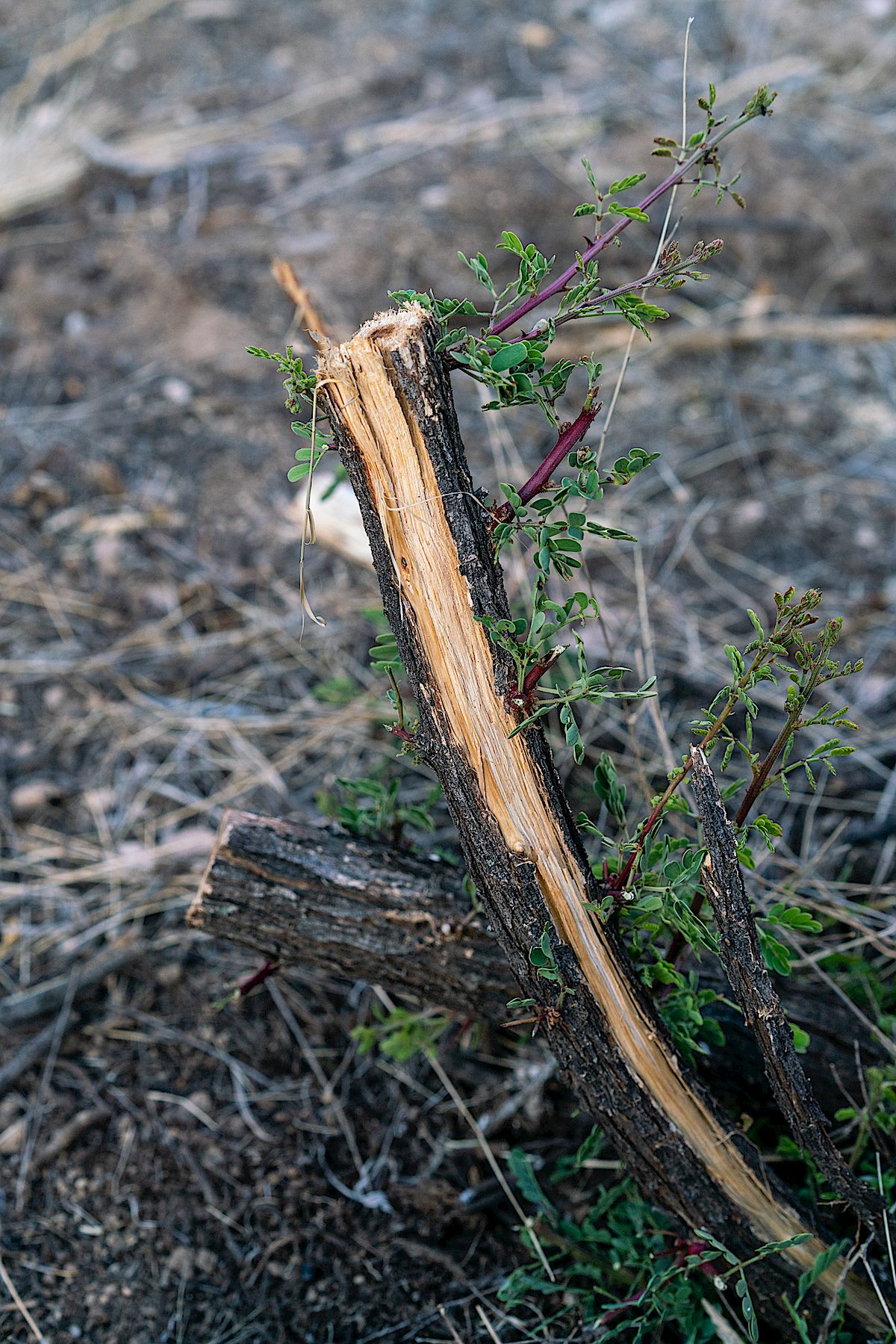
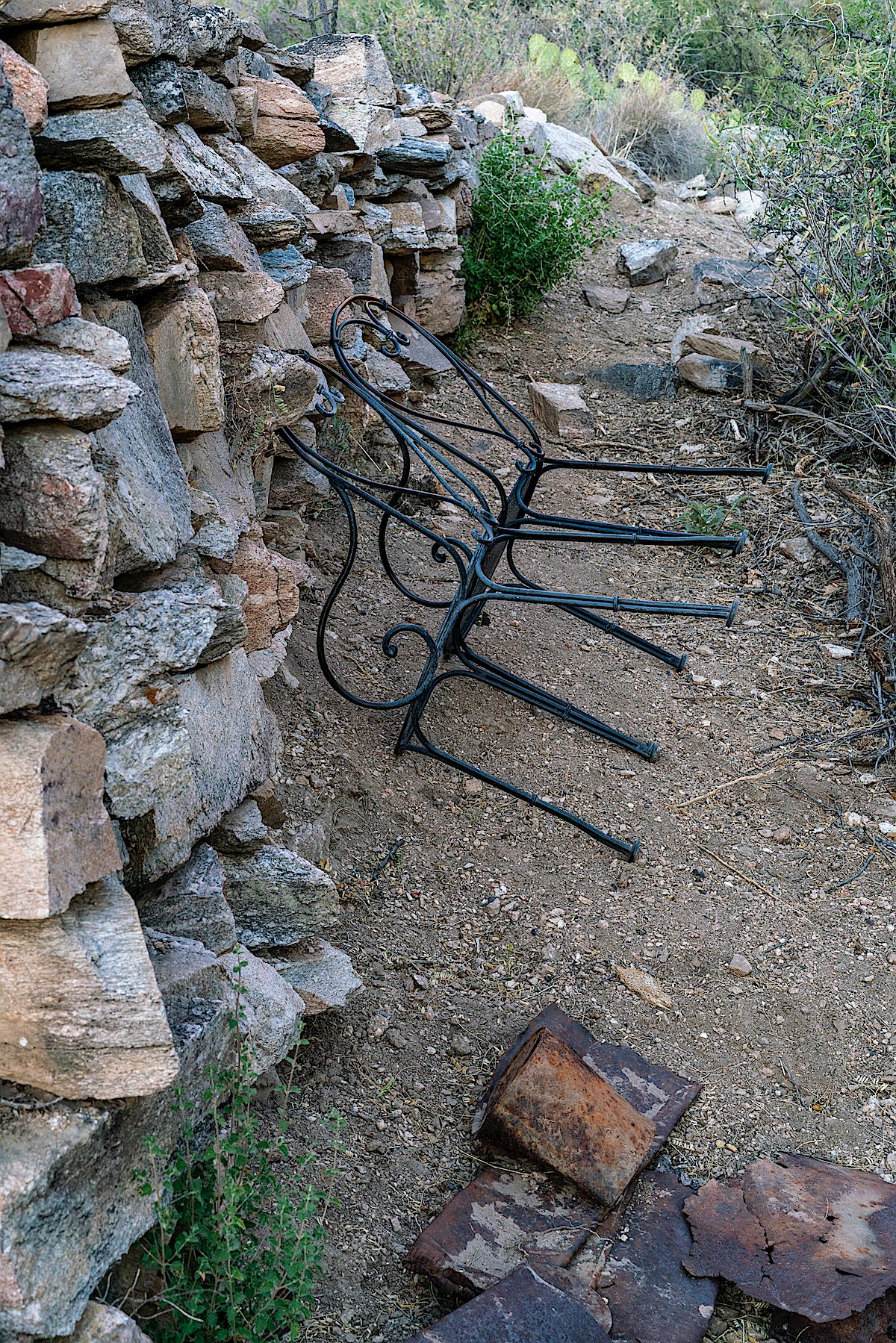
I have never heard, or read, anything about the history of this platform – my guess is that it dates to the early to mid 20th and is related to cattle ranching – but maybe it comes from the mining that took place in this area? Or something altogether different, older??
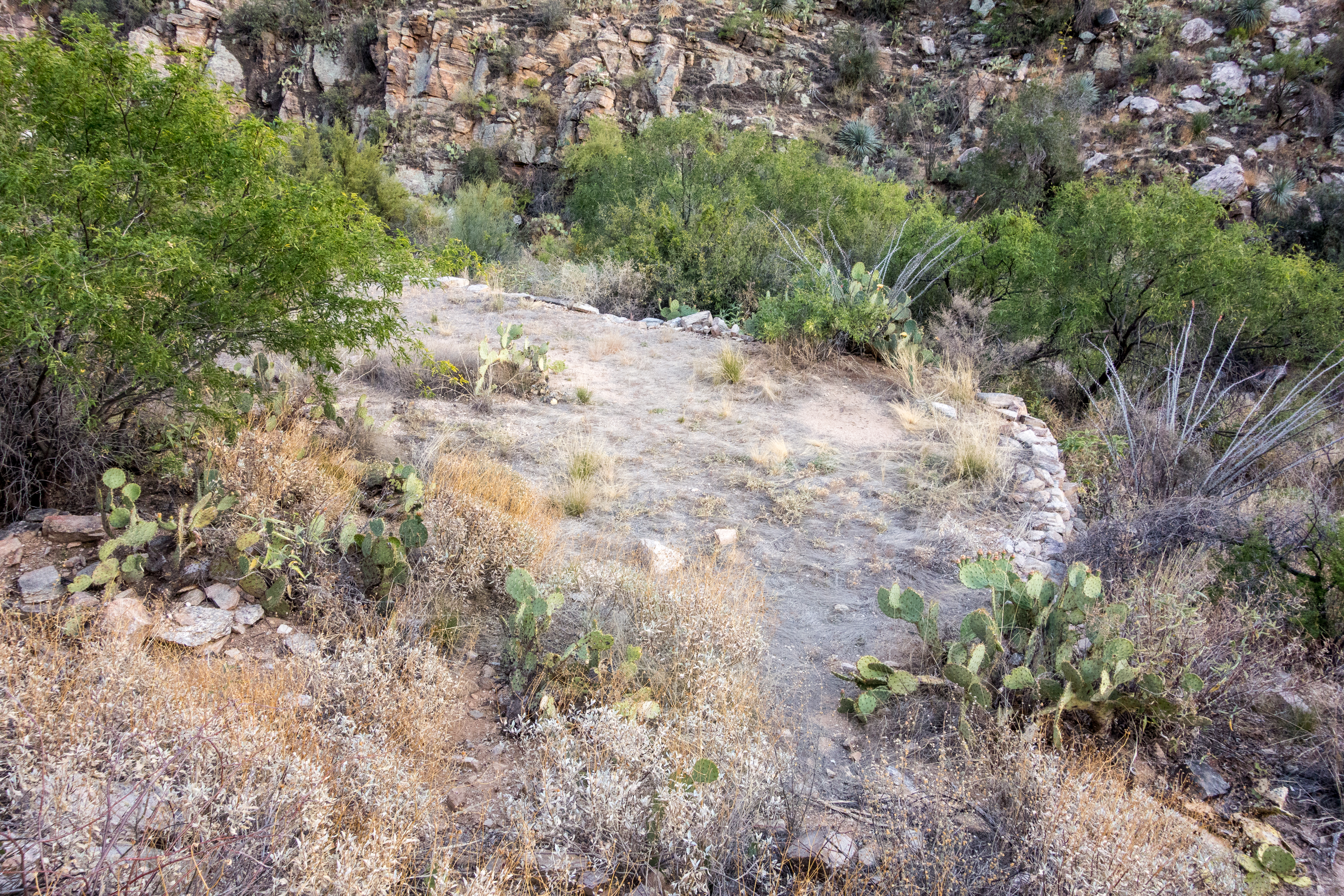
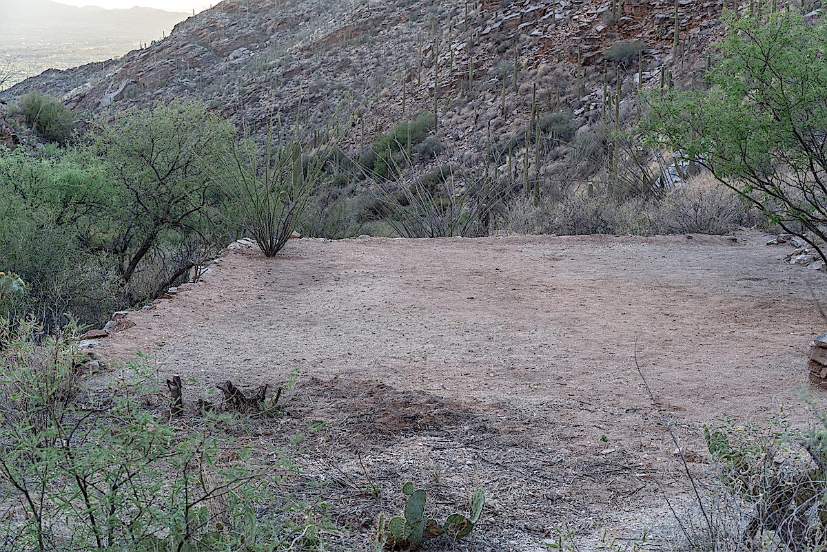
Regardless of its history it had started to fade, slowly, gradually, appropriately, back into the landscape – until earlier this year when it was brutally cleared – cactus, flowers, grass and brushes cut and removed – scraped bare, a table and chairs placed in the center. Clearing this area wouldn’t have been appropriate anywhere in the forest – but it is especially out of place inside the wilderness.
Months later the table is gone – maybe the platform will have a chance to recover from this strange and pointless act of vandalism – and hopefully in a few years the flowers will return.
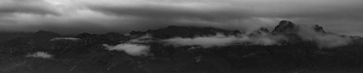
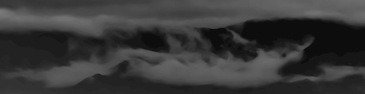
After a largely dry and storm free winter it was a privilege to spend a week under grey skies! Rain, flowing washes, road cuts turned into waterfalls, canyons filled with water – a real joy, and as I write this it looks like we might get another short storm in February!