Sutherland Wash Rock Art District – 1/6/2018

Sutherland Wash Rock Art District Petroglyphs. January 2018.

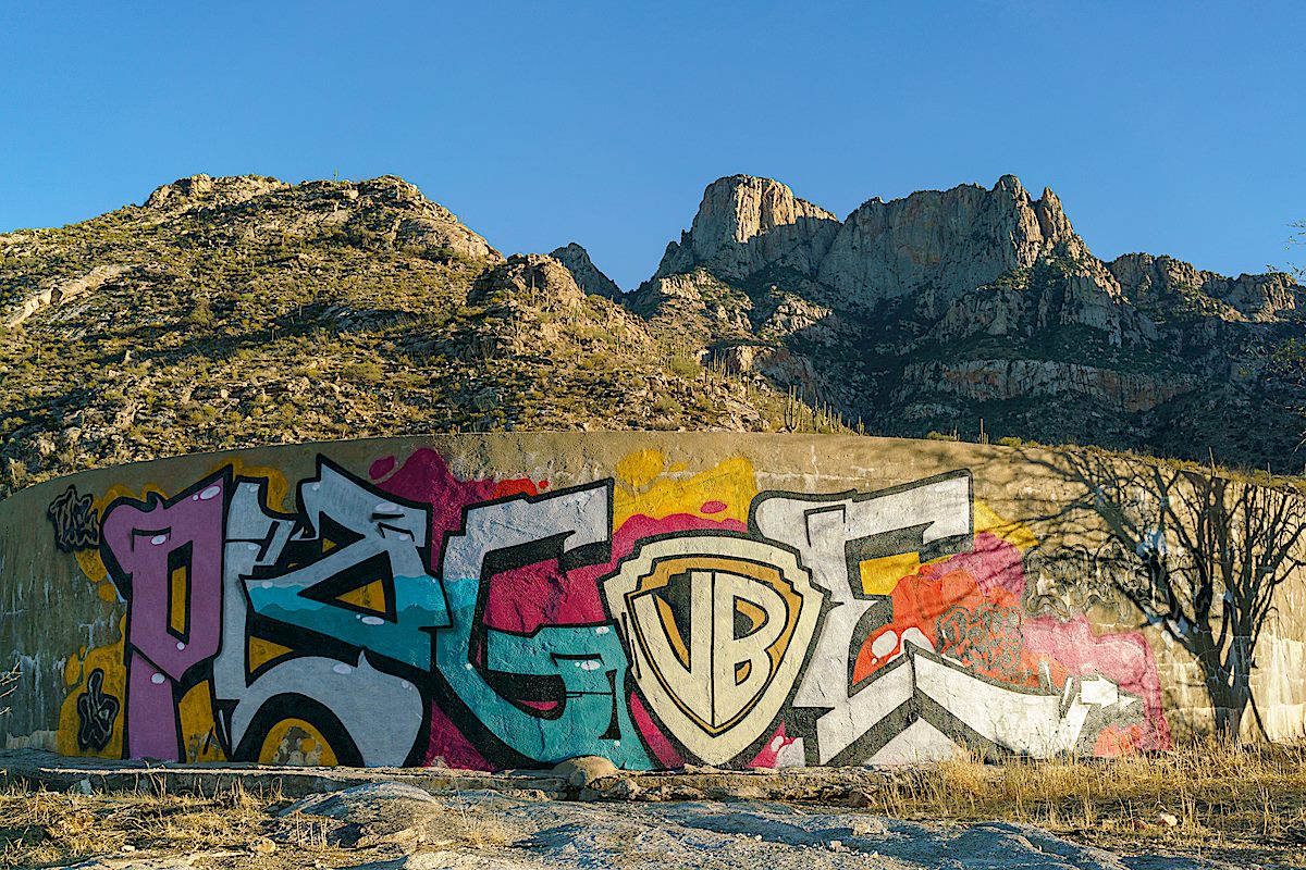
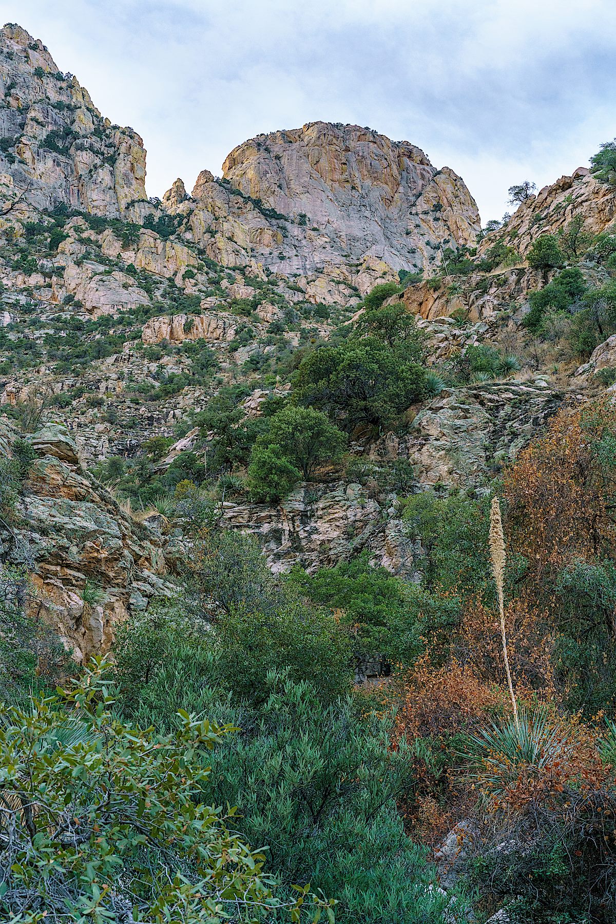
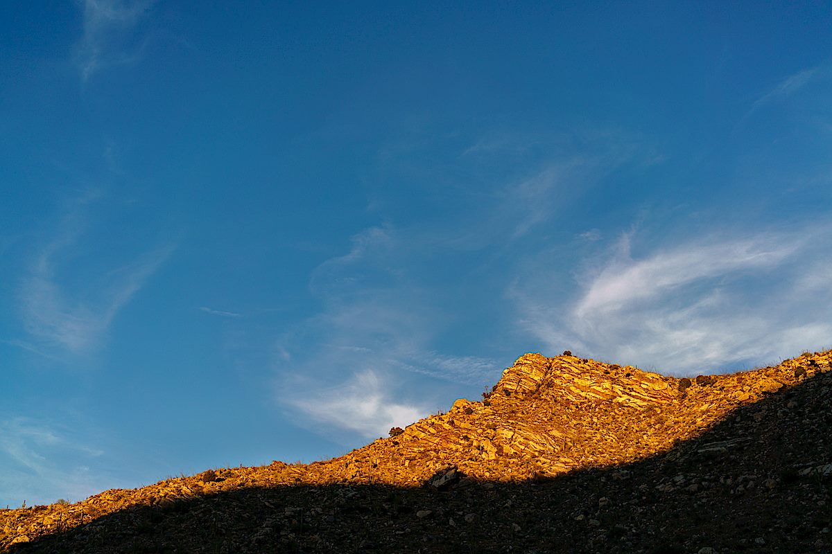
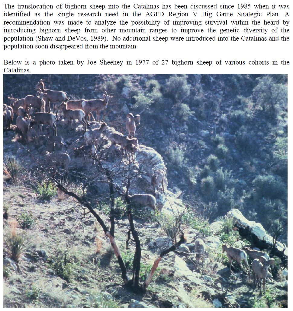
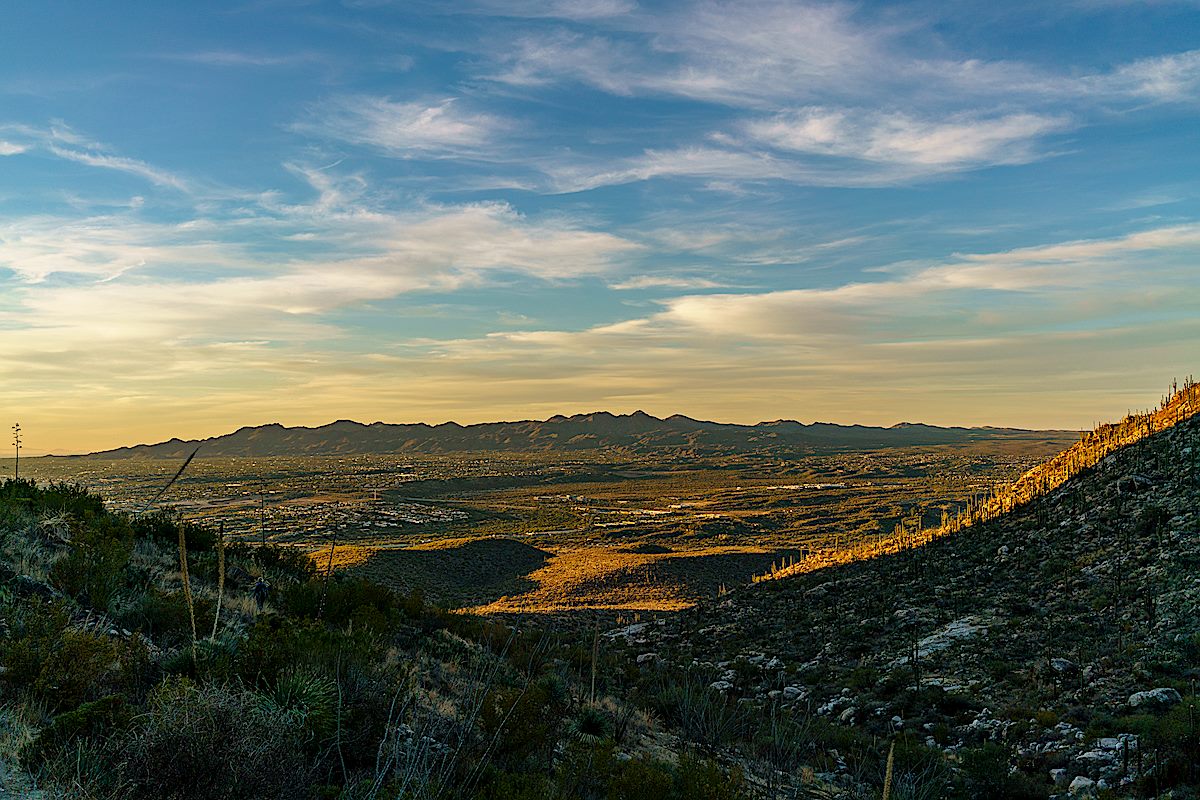
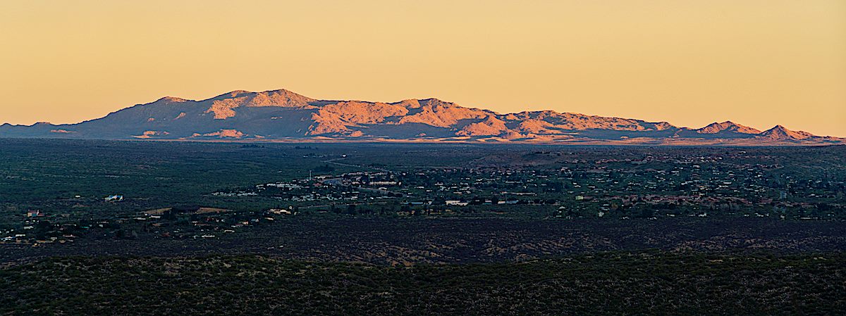
This is the third year in a row (2016, 2017) that we have made a January visit to the Sutherland Wash Rock Art District. Each visit we see new petroglyphs – and every year we learn a little more.

After past visits I enjoyed reading Gender in Hohokam Imagery and Landscape: Sutherland Wash Rock Art District, Coronado National Forest, Arizona and Flower World Imagery in Petroglyphs: Hints of Hohokam Cosmology on the Landscape by Janine Hernbrode and Peter Boyle. After this visit I was excited to see two additional papers by Hernbrode and Boyle:

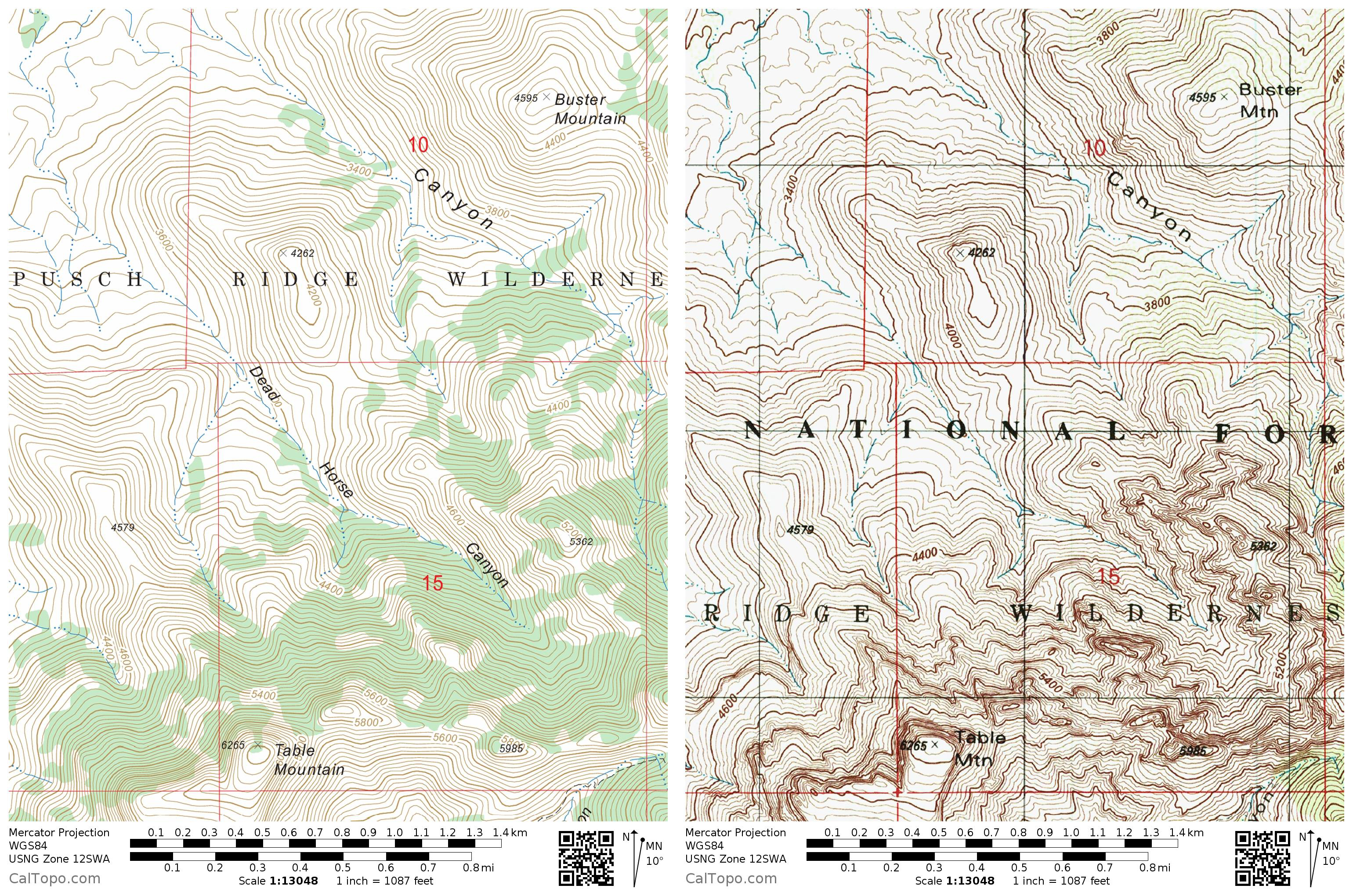
Petroglyphs and Bell Rocks at Cocoraque Butte: Further Evidence of the Flower World Belief Among the Hohokam: Cocoraque Butte is located inside Ironwood Forest National Monument. At Cocoraque Butte there is a combination of flower (both realistic and abstract), bird and butterfly petroglyphs suggesting that Flower World beliefs were present. There are also Bell Rocks at the site – rocks struck for their sound – located near the Flower World petroglyphs. Based on the Tanque Verde red-on-brown painted sherds at the site it was most heavily used between A.D. 1150 and 1300 – later than Sutherland Wash (which was probably used most heavily from A.D. 1000-1100).

Broad Distribution of Flower World Imagery in Hohokam Petroglyphs: In this article Hernbrode and Boyle compare the proportion of core Flower World imagery at a number of sites in Arizona and conclude that Signal Hill, Cocoraque Butte, Sutherland Wash Rock Art District, Tumamoc Hill and the Webb Petroglyph Site, all located ‘near’ Tucson, all have strong evidence of the Flower World Complex. They also conclude that there is “scant evidence” of Flower World Complex petroglyphs at several other more distant sites – South Mountain, Charlie Bell Well and the Picacho Mountains.


Sutherland Wash Rock Art District Petroglyphs. January 2018.
Butterfly and Flower petroglyphs in the Sutherland Wash Rock Art District. January 2018.
Sutherland Wash Rock Art District Petroglyphs. January 2018.
A bird petrglyph in the Sutherland Wash Rock Art District. January 2018.
Sutherland Wash Rock Art District Petroglyphs. January 2018.

Cottonwood Tank – 11/24/2017

Water, reflection and Table Mountain - Cottonwood Tank. December 2017.
Water, reflection and Table Mountain – Cottonwood Tank. December 2017.

Cottonwood Tank is located on the west side of the Pusch Ridge Wilderness south of Catalina State Park. It appears that Arizona Game and Fish did maintenance work in 2017 and the tank is currently holding quite a bit of water.

Sadly, also apparently in 2017, a substantial amount of the tank is covered in graffiti.

Graffiti covering Cottonwood Tank. December 2017.
A saguaro in the sunset - on the hike out from Cottonwood Tank. December 2017.
A saguaro in the sunset – on the hike out from Cottonwood Tank. December 2017.
A Phainopepla. December 2017.
Cottonwood Tank is in the lower-center of the map - inside the Pusch Ridge Wilderness, outside of Catalina State Park. January 2018.
Cottonwood Tank is in the lower-center of the map – inside the Pusch Ridge Wilderness, outside of Catalina State Park. January 2018.

Last of 2017 in Dead Horse Canyon – 12/25/2017 and 12/31/2017

Looking up at Table Mountain from Dead Horse Canyon. December 2017.

Dead Horse Canyon – Frog Mountain Blues – p. 61:

Buster looks at the mountains and shifts to teaching the old geography, one that has slightly different notes from the modern hiking maps. The first gouge to the west he calls Alamo Canyon because there used to be a big cottonwood up there. Then comes Cement Tank because they put a trough in there. After that is Dead Horse for a dead horse found one day. Then Montrose on whose upper reaches Buster Spring bubbles away. And over the ridge from that is Romero for the old ranching family that came into the county in the nineteenth century. When Buster arrived in the 1920s they were still here, still ranching. And they became his neighbors.

The USFS's FSTopo map on the left with Dead Horse Canyon labeled - the USGS Topo on the right without Dead Horse Canyon labeled. January 2018.
The USFS’s FSTopo map on the left with Dead Horse Canyon labeled – the USGS Topo on the right without Dead Horse Canyon labeled. January 2018.
A pool in Dead Horse Canyon. December 2017.
Point 4262 above Deadhorse Canyon. December 2017.

Dead Horse Canyon is in the Santa Catalina Bighorn Sheep Management Area – lacking an official trail travel into this area is prohibited from January until May, but the summer heat means that it will be next winter before a pleasant visit is possible.

Bighorns have been documented in Dead Horse Canyon for many years – according to And Then There were None 8% of the Bighorn Observations made from 1936 to 1978 were in Dead Horse Canyon (p.88) and the photo shown below (of bighorn in Dead Horse Canyon) is described as “the largest number of sheep ever photographed as a group in the Santa Catalinas”. In 1972 bighorn permits were issued to 5 hunters, 2 kills were made – one at the head of Dead Horse Canyon (the last permits issued were in 1992).

An excerpt from page 4 of the AZGFD 2011 Bighorn Restoration Project Proposal showing a photo captioned in part as
An excerpt from page 4 of the AZGFD 2011 Bighorn Restoration Project Proposal showing a photo described as “the largest number of sheep ever photographed as a group in the Santa Catalinas” in Paul Krausman’s And Then There Were None – photo by Joe Sheehy. Excerpt made January 2018.
Looking down and out Dead Horse Canyon. December 2017.
Looking down and out Dead Horse Canyon, the Tortolita Mountains in the distance. December 2017.
Black Mountain in the sunset light from the mouth of Dead Horse Canyon. December 2017.

Oracle Hill, First Winter Storm – 12/17/2017

A rainbow from the slopes below Oracle Hill. December 2017.

With the first good winter storm dropping snow on the top of the mountain I thought there might be interesting views from the San Pedro Valley so I drove north from Benson along the river – the fall color in the river bed was beautiful – but views of the snow on the Santa Catalina Mountains were obscured by a grey wall of clouds – no photos from the valley today, but the drive was still beautiful.

In Oracle I parked at the Callas Drive Gap Road Parking and walked up the road. At the FR4487 and FR736 (which makes a rough 4WD journey across Charouleau Gap down to the west side of the mountain) junction I continue on FR4487 and take the small road that winds up the slopes of Oracle Hill.

Mine entrance near the end of the road up Oracle Hill. December 2017.

From the end of the road I wander up to the top of Oracle Hill and then across the connected ridges and hillsides on cow paths and cross-country admiring the storm above, enjoying the constant wind and occasional rain before wandering back…

First significant storm - and snow - of the winter over Mount Lemmon. December 2017.
First significant storm – and snow – of the winter over Mount Lemmon. December 2017.
Ridges and sunlight. December 2017.

SunZia – Redington Road North to Buehman Canyon – 12/12/2017

In the modest distance between Redington Road and Buehman Canyon the SunZia transmission line project will add ten 135 foot tall steel lattice towers, two tension pads and 5 new access roads – only a fraction of the additions the project will make to the San Pedro River Valley. It appears that the only remaining barrier in Arizona to SunZia’s plan is a single lawsuit.

Hiking in the SunZia corridor from Redington Road. December 2017.
Hiking in the SunZia corridor north from Redington Road. December 2017.

The San Pedro River Valley east of the Santa Catalina Mountains is far from pristine wilderness – farms, ranches, homes, utility lines, cattle, a gas pipeline and dirt roads cutting thru the desert… But that list obscures the truth that this area is something special, a part of Arizona that should be preserved as a welcome and important contrast to (and relief from) the dense development on the south and west side of the mountain. Giant steel towers looming over the valley and power lines imprisoning the sky don’t belong here.

Terrain and sky in the SunZia corridor. December 2017.

I walk north and imagine the towers and lines – the subtle rolling hills won’t give them any place to hide, every time I look up I can see where they will create new shapes on skyline blocking the open sky – and every time I look down the variety of rocks and plants is amazing.

In the SunZia corridor near Buehman Canyon. December 2017.
Rocks in the SunZia corridor. December 2017.
Cactus in the SunZia Right of Way. December 2017.
Color in Buehman Canyon. December 2017.

The terrain is steeper near Buehman Canyon and there is still fall color in the bottom of the canyon – beautiful to see this late in the season. The SunZia line will cross high above the canyon.

On a hillside east of the line the sunset comes into view – I wonder if this shot will be interrupted by towers and lines in the future…

Sunset over the Santa Catalina Mountains. December 2017.

Some SunZia reading material:

A map of the SunZia Line as it leaves Redington Road and proceeds north to Buehman Canyon. December 2017.