Near the Mouth of Romero Canyon, Below Breccia Hill – 5/8/2016

Looking up Romero Canyon. May 2016.

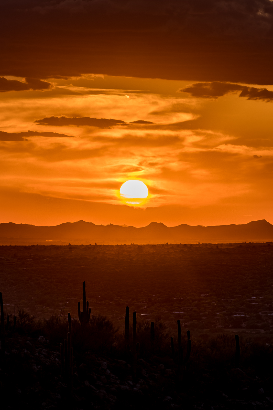
With the Bighorn Sheep Closure over for the year we took advantage of a not-too-hot day to wander out of Catalina State Park and into Romero Canyon, just inside the Pusch Ridge Wilderness. Romero Canyon was completely dry in some places while other spots had trickling flow and pools of water.

Romero Canyon wall not far from the mouth of the canyon. May 2016.
In Romero Canyon below Bressia Rock. May 2016.
In Romero Canyon below Breccia Hill. May 2016.

Near the mouth of Romero Canyon there is an brief, but fascinating, section of canyon where canyon walls of an unusual rock close in tightly. This section of canyon is just below the prominent green colored Breccia Hill and the rock is mentioned in A Guide to the Geology of Catalina State Park and the Western Santa Catalina Mountains (p. 29):

Tremendous friction is generated as fault surfaces slide together. This grinding action produced a zone of powdered rock (fault gouge) and highly broken rock (fault breccia) that can be observed here at Breccia Hill and at other locations where the Cañada del Oro has exposed the fault surface … Movement on the Pirate Fault is thought to have occurred six to twelve million years ago. This demonstrates how an ancient geologic structure, in this case a fault, can control modern landscapes.

Montrose Fire

Fire Crew Vehicles at the Box Camp Trail for the Montrose Fire. May 2016.
Fire Crew Vehicles at the Box Camp Trailhead for the Montrose Fire. May 2016.

Update 5/17/2016: What looks like the end of the Montrose Fire – from InciWeb:

No smoke has not been observed over the Montrose Fire for two days. Fire managers will continue monitoring the fire area over the next several weeks.
This will be the last update for the Montrose Fire unless circumstances change.

Update 5/15/2016, 4:30PM: The Montrose Fire continues to be listed as 80% contained, from a recent update:

The Montrose Fire, first discovered May 12, on the Coronado National Forest Catalina District, remains 80% contained. It is located near Box Spring 3 miles northwest of Rose Canyon Lake. One hotshot crew remains on the incident. With high winds in the Santa Catalina Mountains, their diligence is intended to prevent the fire from again becoming active. No smoke has been detected today. The crew will spend the remainder of the day and this evening monitoring the fire to ensure the perimeter is secure.

Rose Canyon Lake has been reopened for recreationists. Rose Canyon Campground is also open.

5/14/2016:

The Montrose Fire started on 5/12/2016 and, unlike the Finger Rock Fire in 2015 that was allowed to burn, there was a very prompt effort to suppress the fire – undoubtedly due to it’s proximity to homes and infrastructure on the mountain.

Montrose Fire Map from Inciweb. May 2016.
Payson Hot Shots vehicle at the Box Camp Trailhead. May 2016.

Storm, Sky Island Traverse, AZTR 300/750 – 5/4/2016

Looking over Peck Basin and Point 5817 and across the San Pedro River Valley to the Galiuro Mountains. April 2016.
Looking over Peck Basin, Point 5817 and the San Pedro River Valley to the Galiuro Mountains from near the San Pedro Vista. April 2016.

The summer will bring plenty of cloudy days, but for now they remain infrequent and good clouds are more than enough of a reason to drive up the mountain – the payoffs on this trip were watching the light on the San Pedro River Valley and Galiuro Mountains from the Incinerator Ridge Trail, seeing the end of the day thru The Window from near the junction of the Mount Lemmon and Sutherland Trails and hiking in the darkness thru the clouds and big pines near the top of the mountain on the Meadow Trail.

The Window from near the Sutherland and Mount Lemmon Trail junction. April 2016.
A stormy night on the Meadow Trail - Mount Lemmon. April 2016.
A stormy night on the Meadow Trail – Mount Lemmon. April 2016.

Any ‘big view’ from the Santa Catalina Mountains is going to include at least one – and often more – of the Madrean Sky Islands. Like the Santa Catalina Mountains these ranges soar up from the desert floor to oak and pine forests at higher elevations. Almost anyone who has spent time hiking in Southern Arizona will have driven to some, or many, of the Madrean Sky Islands – some people have also connected these ranges in long distance human powered efforts – two notable recent events:

  • The Sky Island Traverse is an incredibly interesting and rugged route that spirals thru a number of Sky Island ranges in Southern Arizona including the Santa Catalina Mountains – a thru-hike of the SkIT was completed by Ryan “Dirtmonger” Sylva, a rare event, and his blog includes a great post on the SKiT!
  • Readers of this blog are probably intimately familiar with the Arizona Trail – but might not be familiar with the AZTR300 and 750 – probably best described by quoting Scott Morris’ Racing the Arizona Trail page:

    The Arizona Trail Race is an unofficial challenge that takes place every spring on the cross state Arizona Trail. Two distances are available. The Arizona Trail 300 is a 300 mile event that has been held every April since 2006. The Arizona Trail Race is the complete traversal (Mexico->Utah over 750+ miles) and was offered for the first time in 2010. Both events are run concurrently, starting on the same day.

    This is not an organized or sanctioned event in any way. It’s simply a group of friends out to ride their bikes on the same route at the same time. We’ll probably compare times afterwards, but more importantly, we’ll compare experiences — the highs and lows the trail and mountains offered us.

    For a great write up of the 2016 event check out Joe Grant’s series on his Alpine Works blog – Part 1, Part 2, Part 3 – a quote from Part 1:

    The 18 miles or so of road climbing up to Mt. Lemmon are as challenging as I thought they would be. Pedaling up a sustained climb in the heat, on pavement, on a loaded mountain bike is a drudging affair. I decide to simply take my time and occupy myself people watching.
    I am passed by a few Tour de France style riders, who zip by effortlessly on their speed machines. I begin this ongoing joke in my head that Neil is up there attacking the climb, dropping all the roadies, while I am just turtle grinding in my lowest gear, waddling up the hill like that Gila Monster.

Flowers along the Bear Canyon Trail – 4/9/2016

A Prickly Pear along the Bear Canyon Trail. April 2016.

It was sunny and beautiful – Molino Basin Trail up to Shreve Saddle, Sycamore Reservoir Trail down to Sycamore Saddle, Bear Canyon Trail down – the surprise for the day was the amazing display of flowers on the Bear Canyon Trail.

Hedgehog cactus and bee along the Bear Canyon Trail. April 2016.
Desert Chicory - Bear Canyon Trail. April 2016.
Desert Chicory – Bear Canyon Trail. April 2016.

There flowers at the top of the switchbacks are incredible! Below I can see that it is a busy day at Seven Falls – see 25+ people enjoying the water – I am glad that so many people are outside experiencing the mountain, but also happy that the mountain is big enough that I can be alone with the flowers.

Fairy Duster and cliffs - Bear Canyon Trail. April 2016.
Fairy Duster and cliffs – Bear Canyon Trail. April 2016.

Sunset and Stadium Lights on the Linda Vista Trail – 4/29/2016

Sunset from the Linda Vista Trails. April 2016.

A short hike up the trail, pictures of the sunset and watching the dying light – gradually, as it got darker, we noticed a glow – it was too early for the moon and it took us several minutes to realize that nearby stadium lights were illuminating the landscape – lighting up the clouds, cliffs, ridges and saguaros.

Saguaro, clouds, stars and Pusch Ridge from the Linda Vista Trails. April 2016.
Heading down towards Oro Valley by headlamp - Linda Vista Trails. April 2016.
Heading down towards Oro Valley by headlamp – Linda Vista Trails. April 2016.
In the dark, Pusch Ridge Wilderness. April 2016.