Balloons in the Backcountry

Today a friend of mine linked to a sad picture on Facebook from the Sonoran Desert Network of a field crew member holding quite a few of “the most conspicuous” pieces of trash found in remote areas of Saguaro National Park – balloons…!?!?! The Facebook post mentions a article from last year that I missed: Helium balloon releases in Tucson trash up nearby Saguaro National Park. A few excerpts from the article:


“Shriveled latex in rainbow colors is ubiquitous in the Rincon and Tucson mountains sections of Saguaro National Park, where the air-filled orbs often land due to local wind patterns, Zylstra found.”

“To Zylstra’s amazement, balloons greatly outnumbered desert tortoises and Western diamondback rattlesnakes in the 120 square kilometers – roughly 75 miles – of parkland she studied to collect the data.”

“In the Rincons, for example, a square kilometer of land had an estimated density of 62 balloons, 30 tortoises, 26 rattlers and 29 plastic bags, which Zylstra also counted.”


Sad stuff from Erin Zylstra who published Accumulation of wind-dispersed trash in desert environments in the Journal of Arid Environments (Volume 89, February 2013) – the first line of the abstract: “Detrimental effects of plastic debris and other trash have been well-studied in marine and coastal environments, but the extent and severity of the threat to terrestrial ecosystems are largely unknown.”

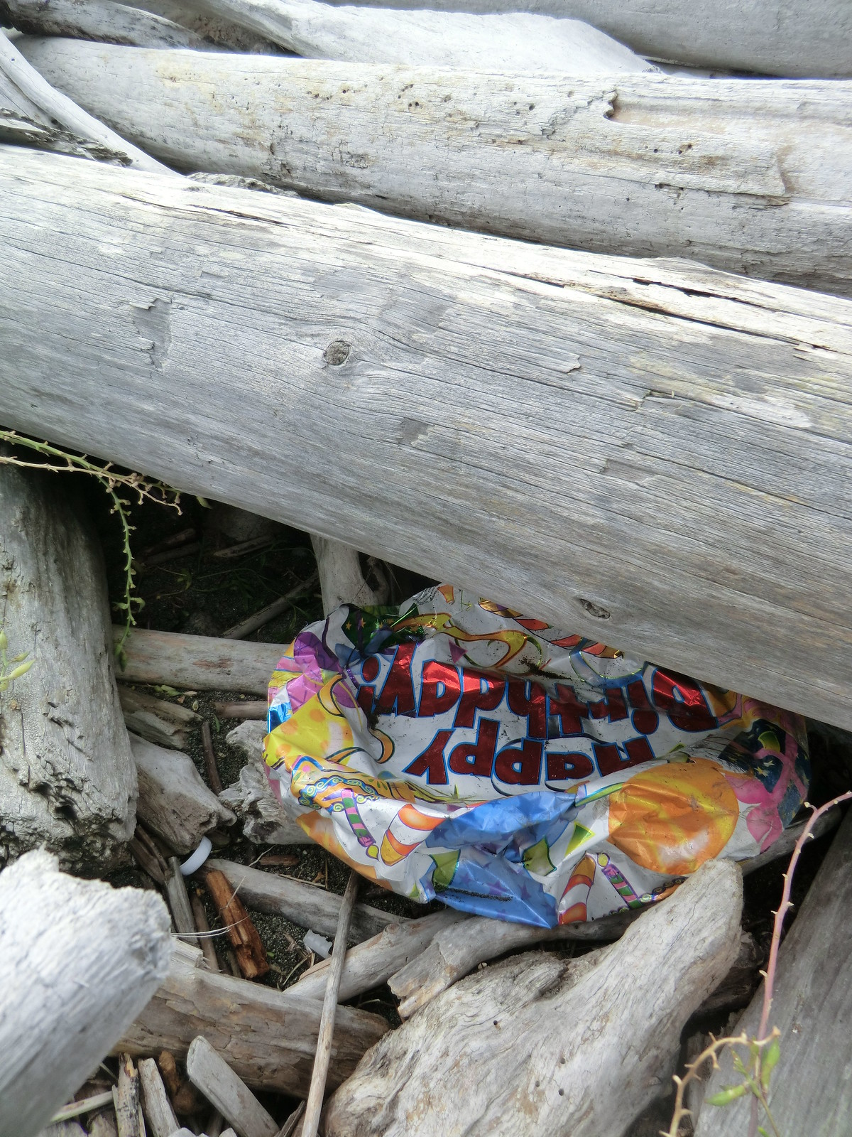
0901 Balloon Litter
Balloon Litter. January 2009.

A picture from 2009, off-trail in the Santa Catalina Mountains, I took the picture above and wrote “I have found a number of balloons in quite remote places on my hikes – they seem so harmless, maybe even beautiful sometimes,  floating up into the sky, but after seeing litter like this too many times they don’t seem so harmless anymore.”

And in 2011…
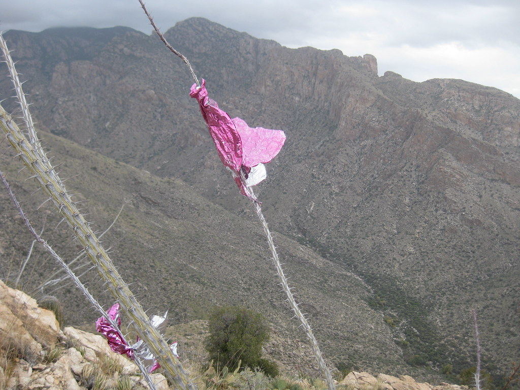
1112 Balloon Litter
SE Ridge of Pusch Peak. December 2011.

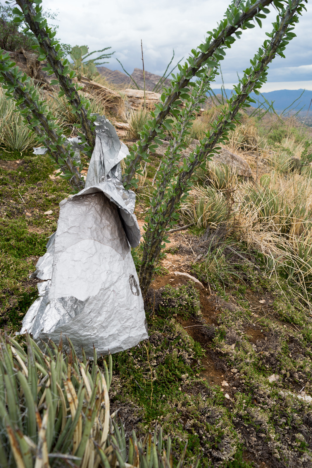
2012…

1210 Trash Balloon
Upper Sycamore Canyon. October 2012.

2013…

1308 Balloon below Rosewood Point
Below Rosewood Point. August 2013.

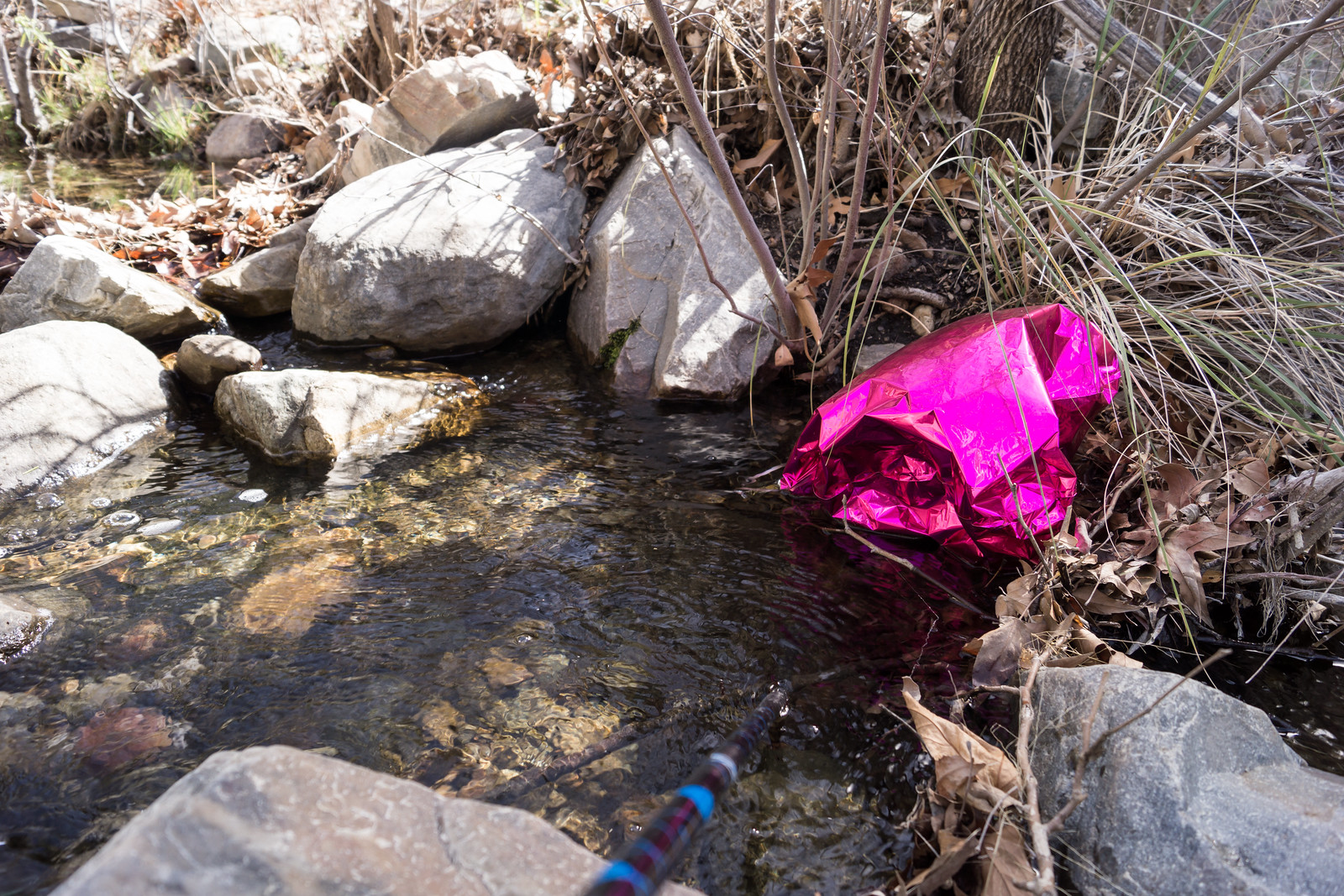
2014…

1403 Balloon Floating in the South Fork of Edgar Canyon
South Fork of Edgar Canyon – on this trip I saw an equal number of balloons and people… March 2014.

This is not an unknown problem – thankfully in some places mass releases of balloons are actually prohibited (the Balloons Blow… Don’t Let Them Go! has a page on Balloon Laws) – but not here in Tucson – the littering continues…


Peck Basin and Araster Spring via the Knagge ‘Route’ – 2014/3/12

For several years I have looked down into the Peck Basin Area and wondered what was down there… I suppose that the easiest way to get into that area is via the Davis Spring Trailhead on the north side of the Mountain – but part of my fascination with Peck Basin is a curiosity about a trail that seems to be disappearing back into the mountain: the Knagge Trail

I was dropped off at the bottom of the Incinerator Ridge Road, walked up to the Trailhead and soon enough I was headed down the Knagge Trail, familiar territory and notably easier to follow than it was last September with the plants along the trail brown and flat.

1403 Near the top Knagge Trail at the end of Winter
Near the top Knagge Trail. March 2014.

The Cabin, the mine and the current end of the well established trail all come quickly – and then off onto the ridge below. Unlike my last trip I don’t use any time trying to find the original trail – instead I just work on finding the easiest way down the ridge – an occasional cairn, faint paths that look for a second like a trail, brushy puzzles, beautiful open grassy sections, views down into my destination…

1403 Open Grassy Area on the Ridge below the Knagge Trail
Ridge below the Knagge Trail. March 2014.

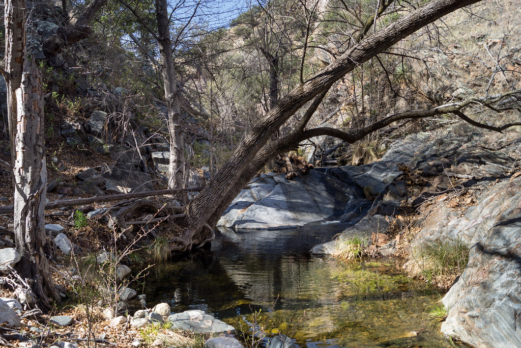
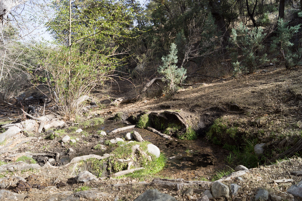
I am counting on water in the South Fork of Edgar Canyon and the canyon does not disappoint – clear rushing water!

1403 Water in the South Fork of Edgar Canyon
Water in the South Fork of Edgar Canyon. March 2014.

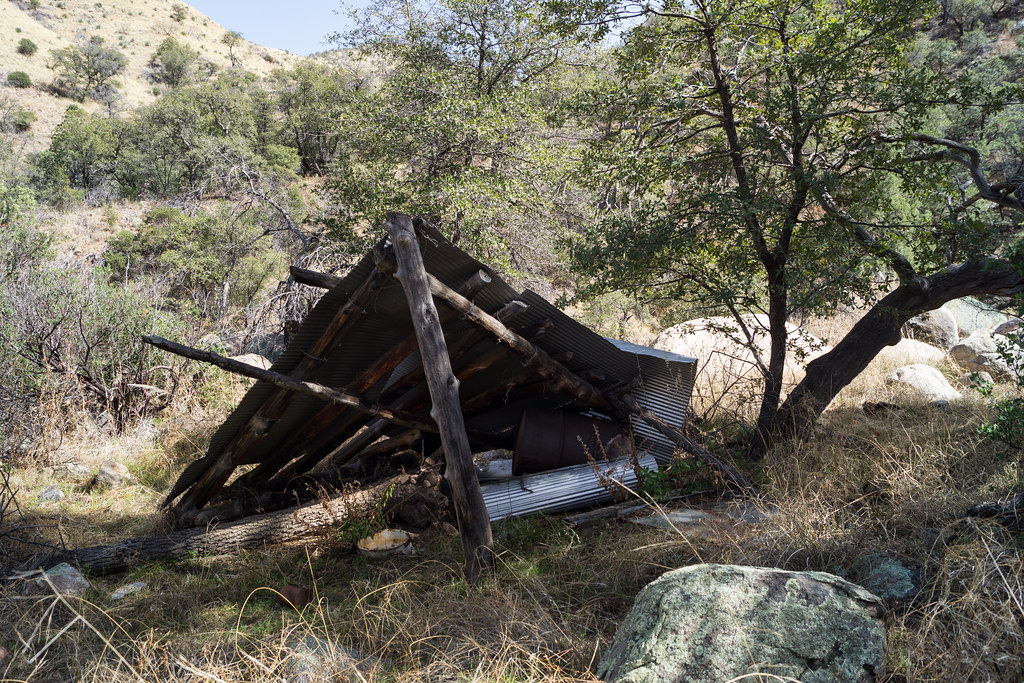
I work down canyon trying to find the easiest path – up around a box, past an old shelter, thru a fence – here I see the first signs of the cows who live in this area…

1403 Fallen Shelter along the South Fork of Edgar Canyon
Fallen Shelter. March 2014.

I cut out of the canyon, over the ridge and into the drainage with Araster Spring and Peck Basin (this canyon is referred to as Edgar Canyon in the Cowgill and Glendening guide but the USGS 7.5′ Map labels the canyon to the south as Edgar Canyon…). I see more cows on the ridge above and follow their tracks and dung up canyon to Araster Spring and slightly beyond. Araster Spring is beautiful but slightly trampled.

1403 Araster Spring
Araster Spring. March 2014.

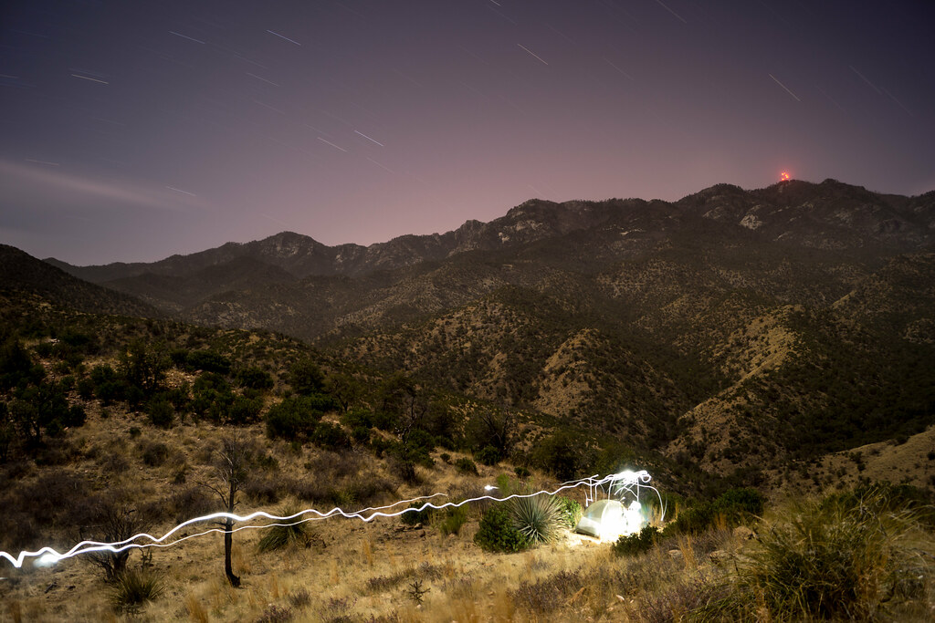
Originally I had planned to camp here but the cows have made this area a bit less attractive than I imagined – I loop via hillside and ridge up to Point 4863 to spend the night – on the way stumbling across the Knagge and Davis Spring Trail junction sign! I find a good spot near Point 4863 – I only have to move one cow patty to setup where I want – and enjoy the view of the ridge I came from (with the blazing lights of Mount Bigelow) and the day’s journey!

1403 Camping above Edgar Canyon with the Lights of Mount Bigelow in the Background
Camping above Edgar Canyon – the lights from Mount Bigelow in the background. March 2014.

I get moving a little slowly in the AM – lingering to enjoy the view –

1403 View from Point 4863
View from Point 4863. March 2014.

And then up up up up back to the Upper Green Mountain Trailhead to meet my ride down! 13 miles and about 4000′ of elevation gain and loss.

flickr – 2014 March Peck Basin and Araster Spring via the Knagge Route