Not far from Molino Basin Parking Area on the Bellota Trail a small side trail splits off and follows Molino Canyon, the most obvious path takes you to the top of the falls above, but it is worth it to find your way base of the falls…

Not far from Molino Basin Parking Area on the Bellota Trail a small side trail splits off and follows Molino Canyon, the most obvious path takes you to the top of the falls above, but it is worth it to find your way base of the falls…
Grass, grass and more grass – the Bellota Trail is covered in grass – hiding the trail and occasionally making the footing…interesting… Water is flowing at West Spring Tank and we almost get our feet wet at the junction with the La Milagrosa Trail.

Not long after turning onto FR4445 and beginning the descent into Agua Caliente Canyon we find a desert tortoise – perhaps enjoying a break from the tall grass?
Plentiful flowing water in Agua Caliente Canyon! A nice reason to pause before the long climb up to the Agua Caliente Hill Trail, past False Hope Hill and to the summit!


Molino Basin Parking Area, Bellota Trail, La Milagrosa Trail, FR4445, Agua Caliente Hill Trail, Agua Caliente Hill South Trailhead – 13.8 miles, +3200’/-4500′ of elevation gain/loss.
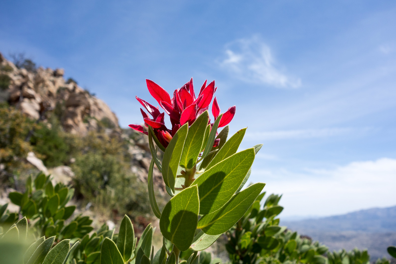

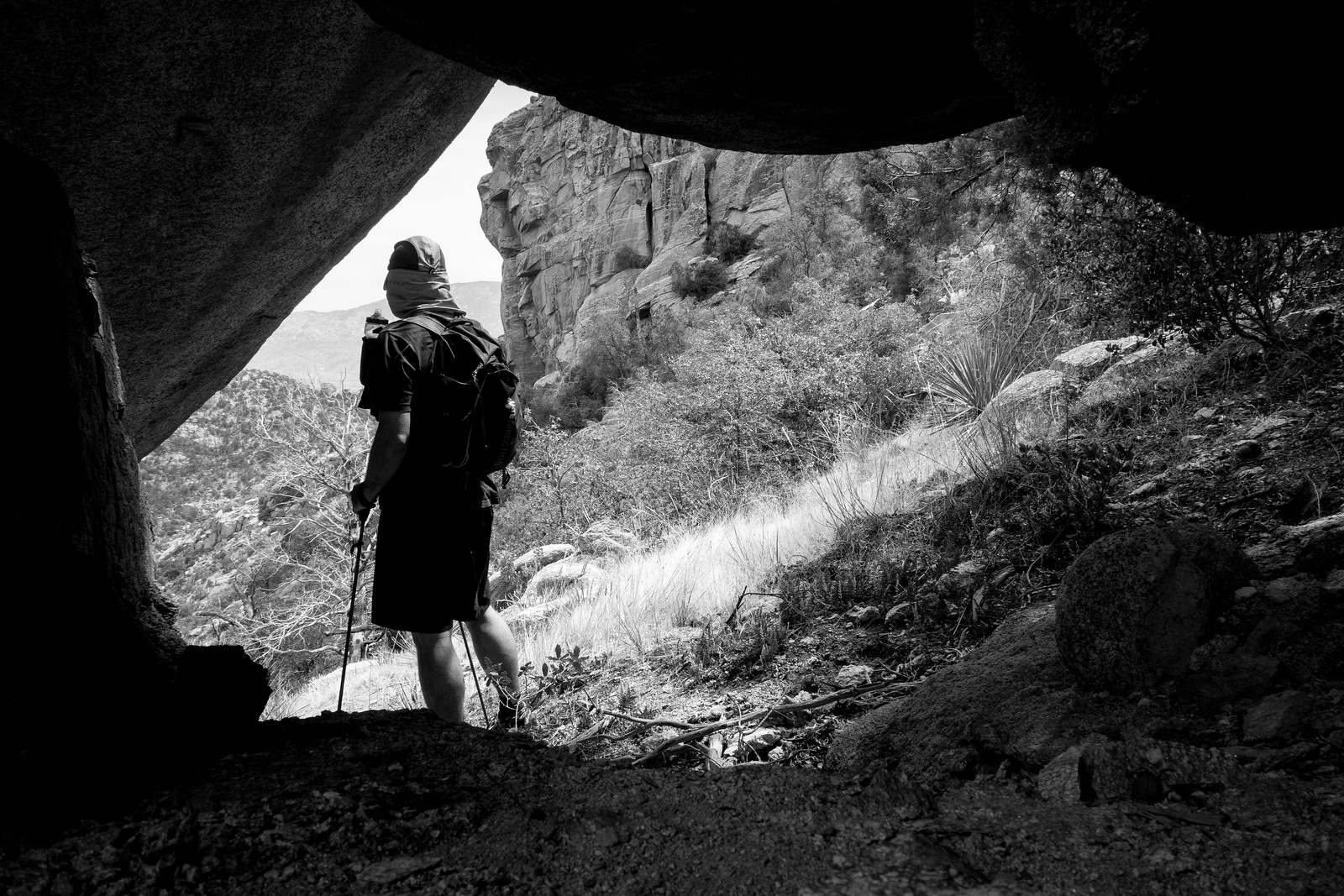
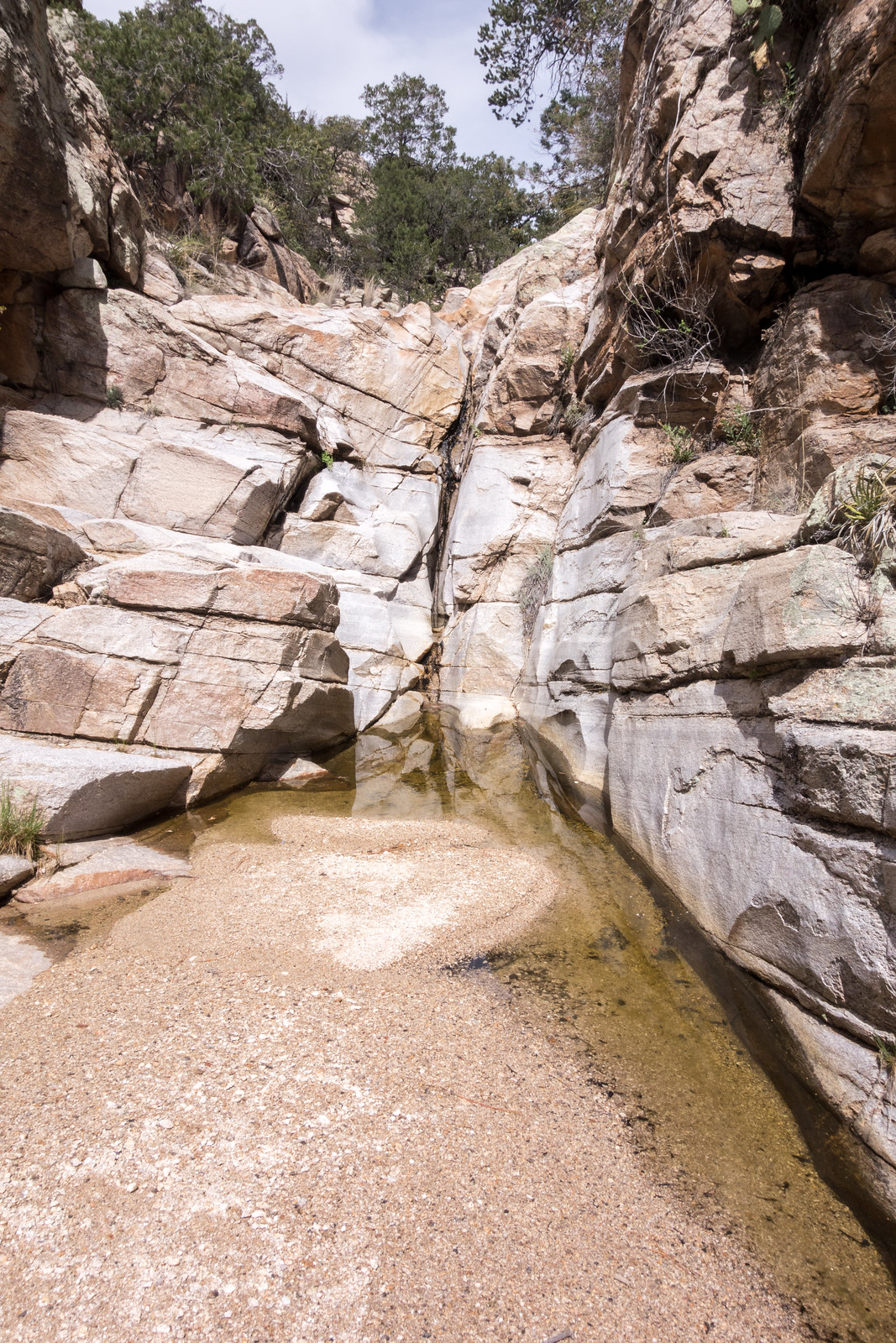
It was a busy day on the mountain so I decided on a less traveled destination – Airmen Peak. I suspected that there might be an nice path up the ridges between the Molino Basin Parking Area and the peak – I climbed past old mines to the Sun Spot Crags and then up onto the ridge – there were some nice moments on the ridge, but largely not a route I really need to repeat… Down into the West Fork of Molino (still water, and even a little flow, but stretches of dry canyon too) and then cross-country down a small drainage into Molino Canyon (water at the falls, drier than the West Fork) to finish the day. 5.6 miles, +/- 2100 feet of elecation gain and loss.
Climbing up the Bellota Trail out of Molino Basin a Gopher Snake and then a Tarantula stop my progress – not what I was expecting on a December afternoon – but always beautiful to see, I watch them move slowly away from the trail. There is water and mud at West Spring Tank – and in Milagrosa Canyon as I turn south.
I don’t see anyone on the Milagrosa Trail and the ridge between the canyons feels wonderfully far from the city. Trail 46A down into Agua Caliente Canyon – along the bottom – and then the climb to join the Agua Caliente Hill Trail.
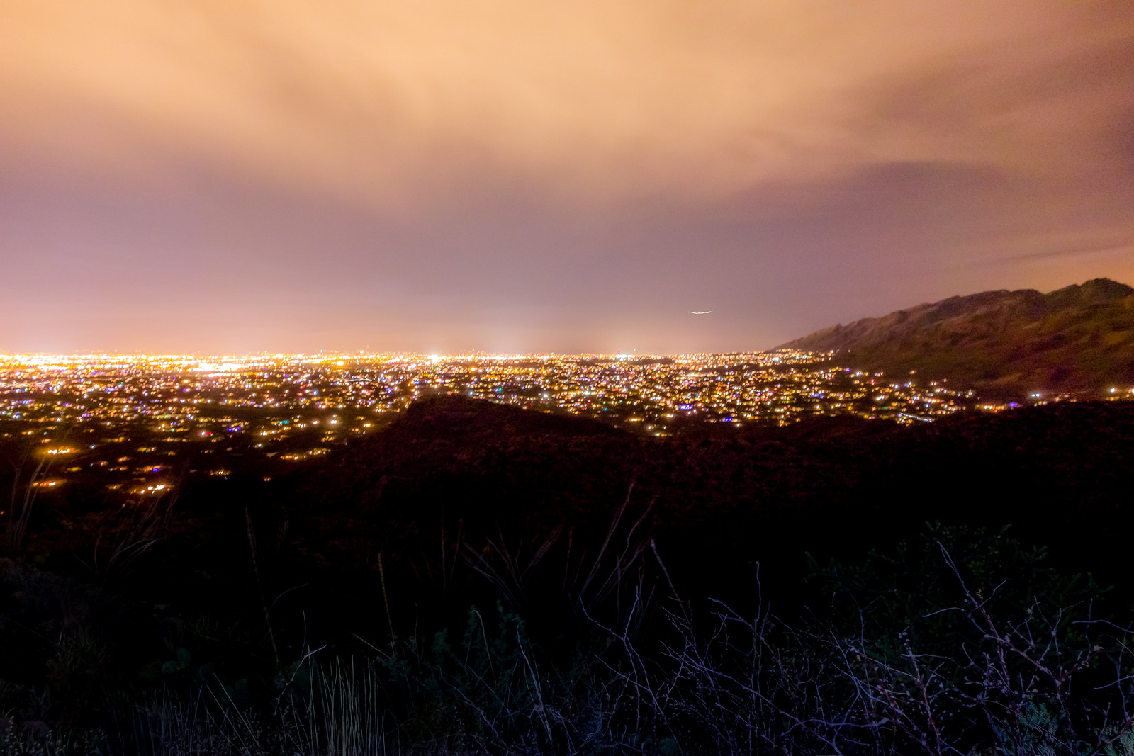
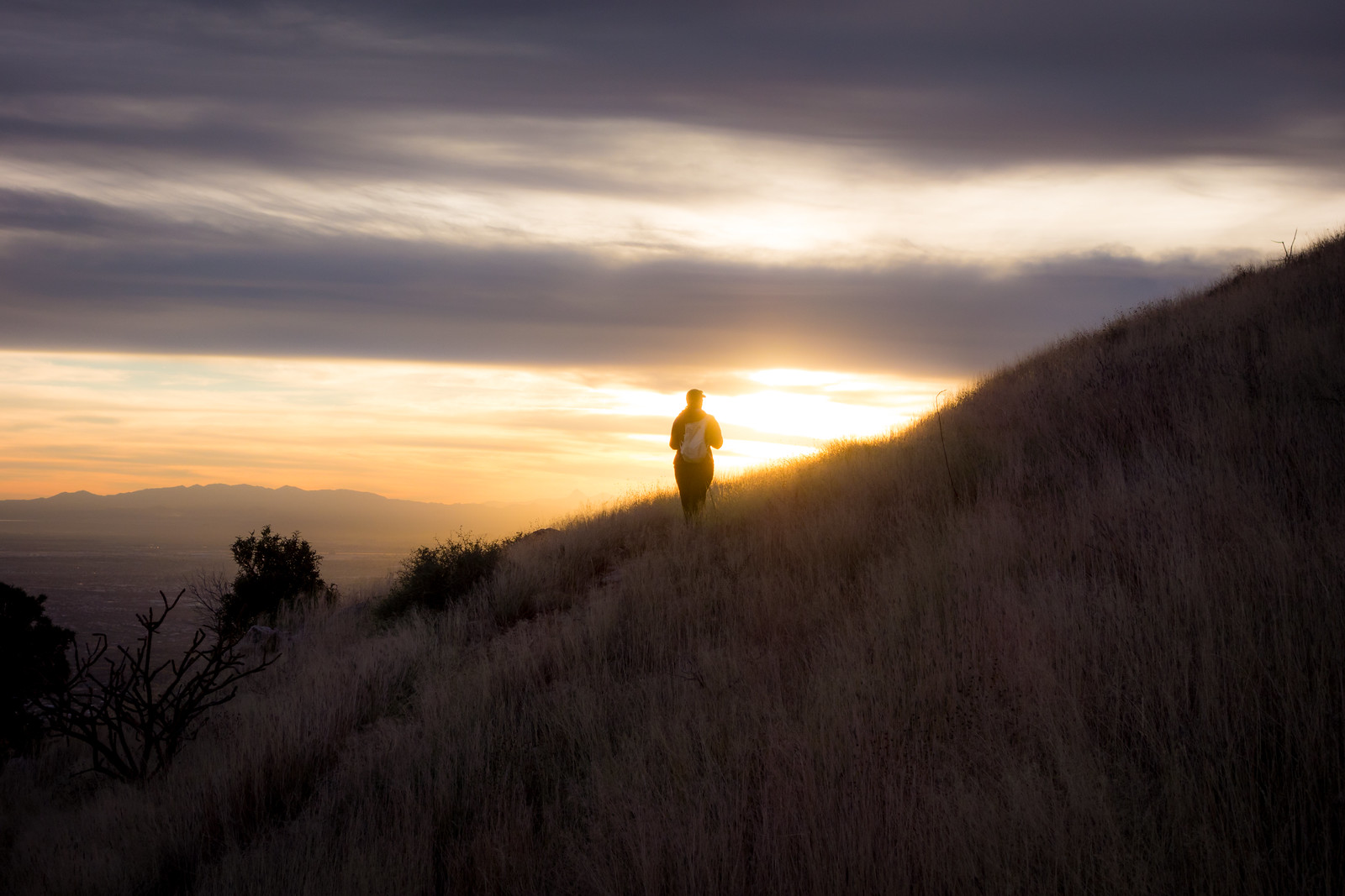
A pause at the summit and we start down – the sun, grass and views are stunning! The day fades – we watch the lights come on in the city and finish our in the Agua Caliente Hill South Trailhead just before the moon rises. 13.7 miles, +3200’/-4500′ elevation gain/loss.
