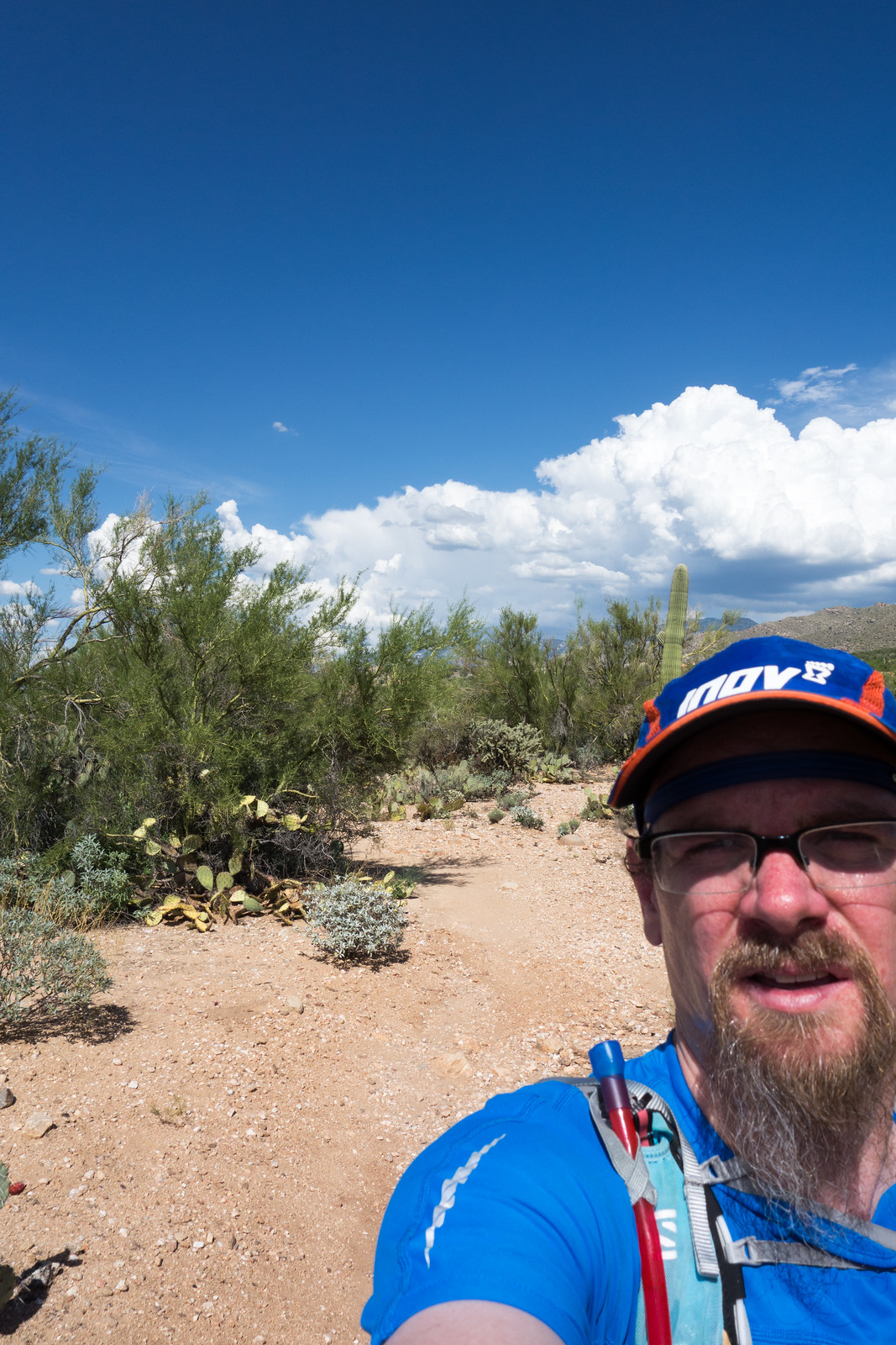
I had a short window to get a run in and the Linda Vista Trailhead was a convenient destination – it was hot and sunny but I thought for a short run it would be a fine destination, good ‘heat training’… At about 1.5 miles – the junction with the trail to Pusch Peak – I was fine, but really hot, the tiny bits of shade offered no relief and the only clouds were in the distance, the heat was very very uncomfortable and I was glad that I just had a short run back to the car.
Run
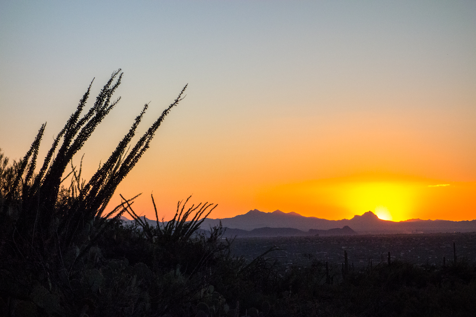
Linda Vista Trails Sunset – 9/2/2014
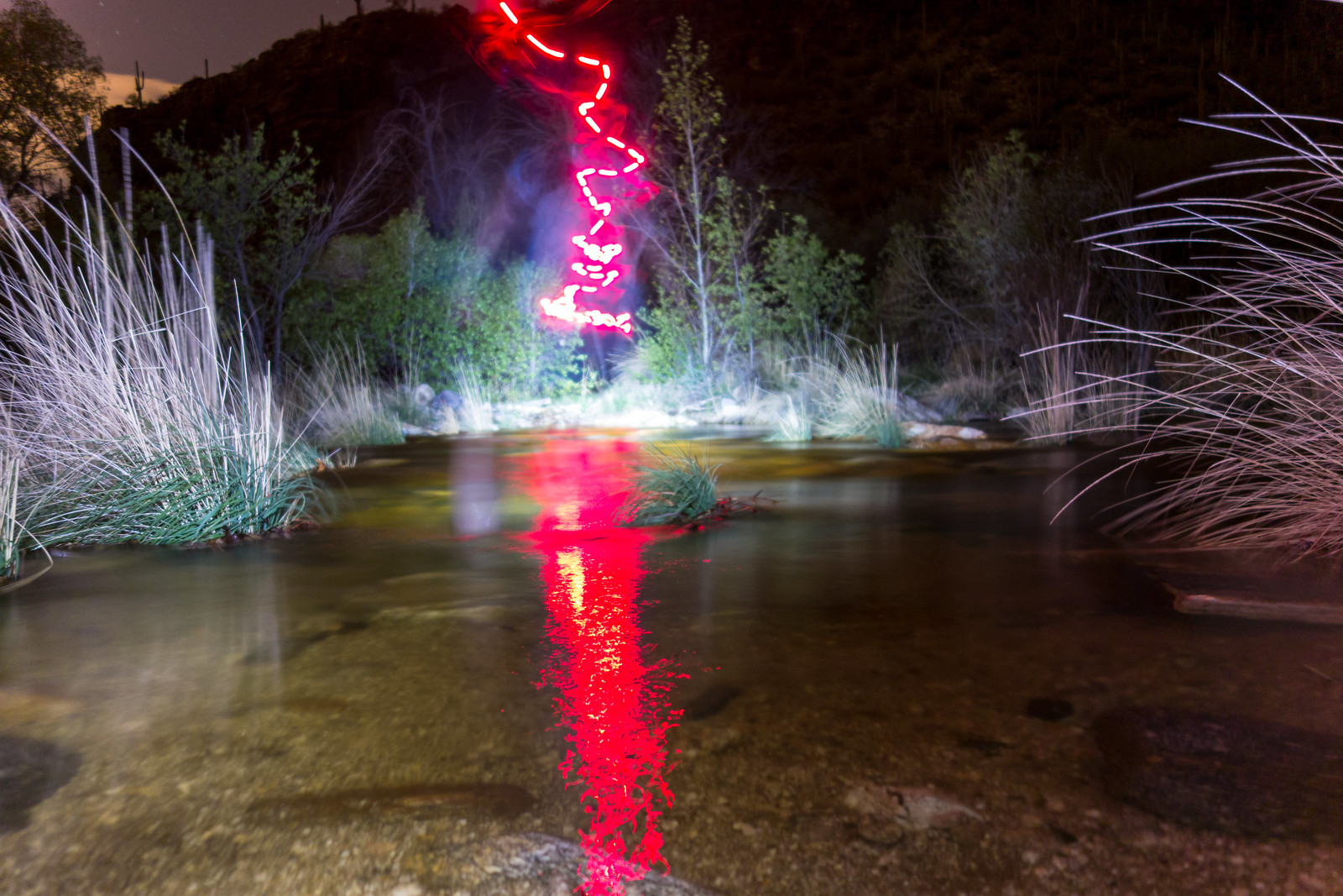
Crossing Sabino Canyon – 2014/8/19
From the Phoneline Trail Sabino Canyon sounded like a raging river – as we descended we wondered if there was a chance that we wouldn’t feel comfortable crossing – but down by the canyon the flow didn’t seem as impressive and the crossing was fine – we enjoyed the cool knee deep water.
A glance at the USGS Guage for Sabino Canyon shows that we were lucky to see higher water levels – the storm fed flow peaked late on the 19th and quickly diminished.
Lemmon Rock Lookout – Storms – 2014/8/2
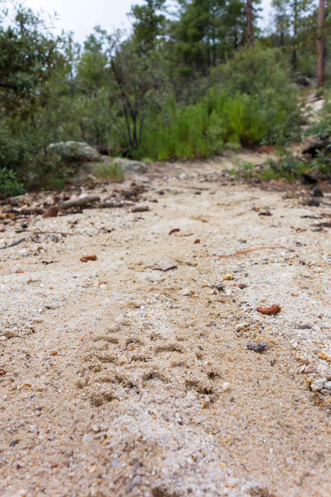
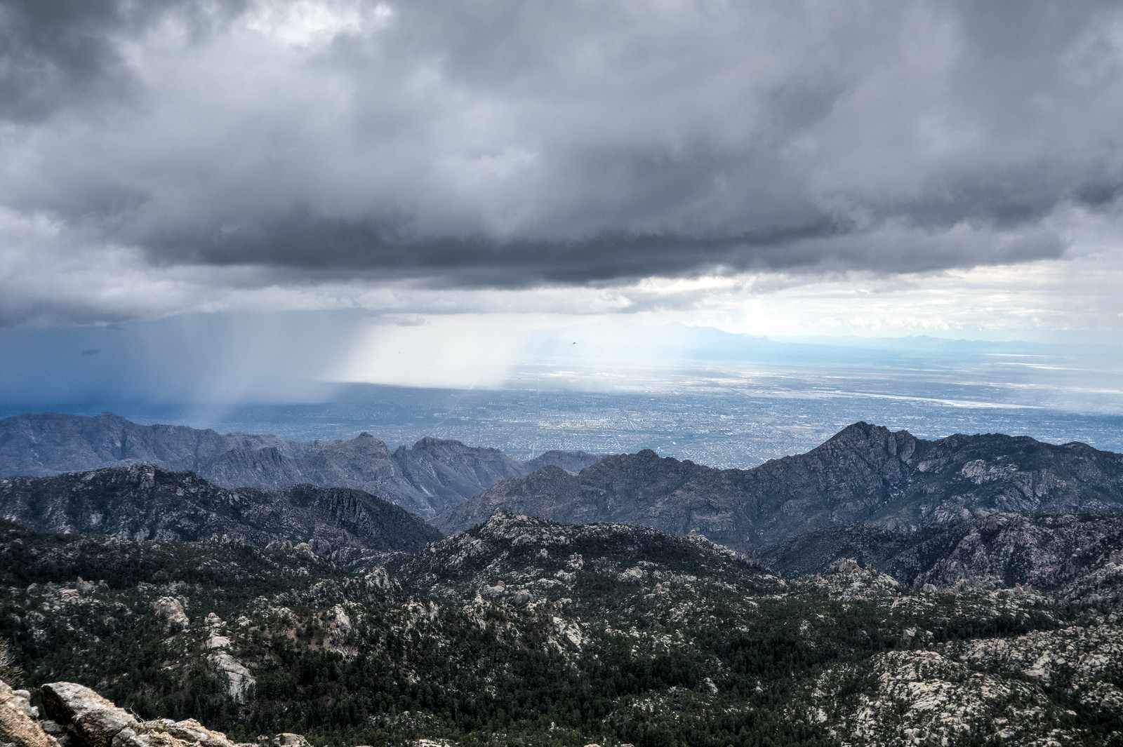
Ominous clouds covered the mountain, but when we got out of the car there was no rain or lightning – just wonderful shade and cool temperatures. We took different trails down from the Summit Trailhead – the Mount Lemmon Trail and Aspen Trail, then onto the Wilderness of Rock Trail and up the Lemmon Rock Trail – we raced to be the first up the steep climb to the Lemmon Rock Lookout – I was second up the trail and all I saw were footprints until we met at the top…
Oracle Ridge, Red Ridge Loop – 2014/7/28
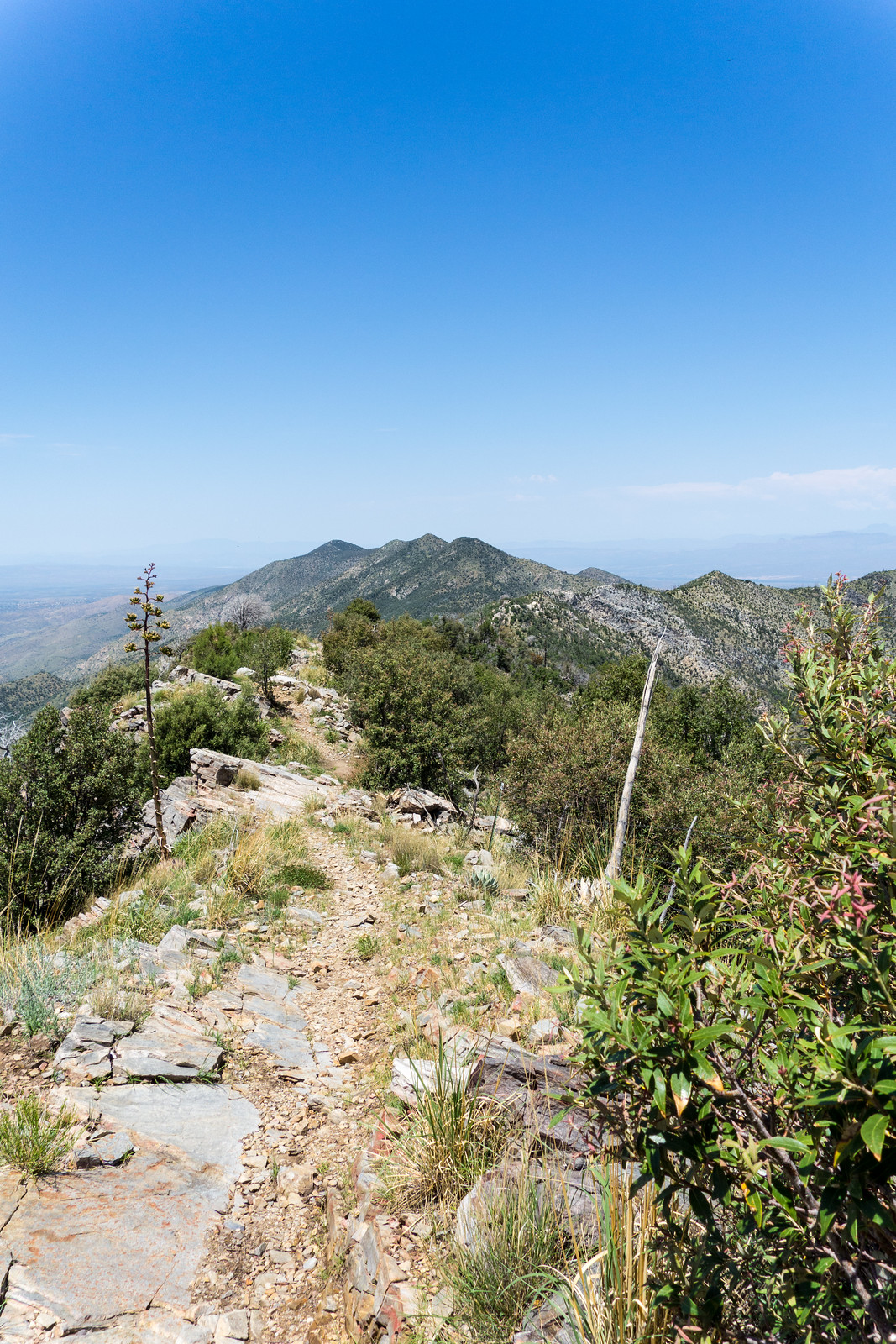
Oracle Ridge is beautiful today, flowers, green, big views and sections of great ridges.
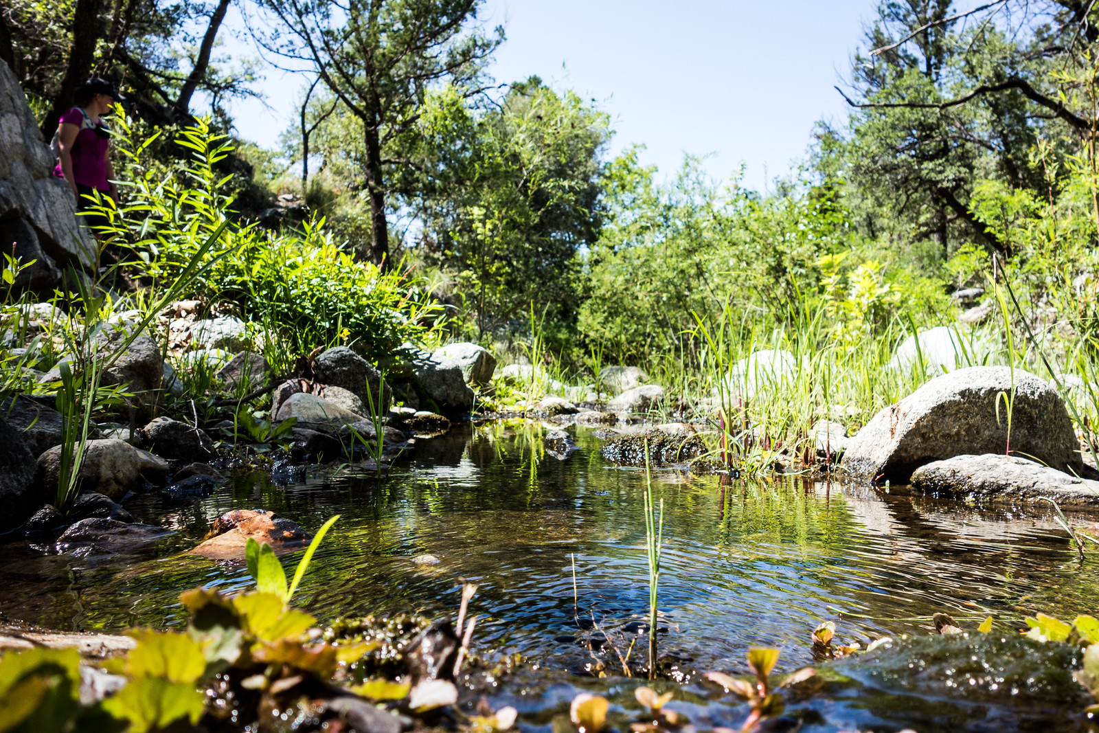
As the Catalina Camp Trail descends the temperature starts to soar, but soon enough One Park Place appears and the trees along the East Fork of the Cañada del Oro provide some relief from the sun – water in the East Fork of the CDO is a surprise and we sit, relax and enjoy.
The loop in this direction ends with the steep climb up the stunning Red Ridge Trail.
The Oracle Ridge – Catalina Camp – Red Ridge loop is approximately 8.6 miles with 2500′ of cumulative elevation gain/loss.