Bighorn Project Status Update with Late 2014 Release Details, LBN 438

The Bighorn Sheep Restoration Project Status update for 10/13 to 10/27 is now available (all updates are currently available here). Like the last update this document has some discussion of the construction of utilization distributions that are described as a “three-dimensional view of an animal’s home range [that] depicts the probability of an animal using a particular location”. This is the first update with details about the planned release of more Bighorn into the Santa Catalina Mountains before the end of the year – a few interesting details:

  • [AZGF] has learned [from working to increase statewide population levels from 1,100 to 5,500 since the 1950s] that one of the keys to success is to augment the founding or resident herd with subsequent translocation efforts. These augmentations help the herd establish faster, generally leading to a decreased future need for direct human intervention. 
  • The wilderness within the Tonto National Forest is the preferred source for Bighorn to translocate – but helicopter landings with Wilderness areas take special authorization – until a decision is reached on permission to use helicopters in the Tonto National Forest Wilderness areas the plan will be to capture bighorn sheep on the Tonto NF outside of designated wilderness and on Bureau of Land Management lands east of Quartzite. 
  • Last year, there was a large gallery of people that observed the release. For the welfare of the sheep, this year the release will be limited to credentialed media and a small number of guests.

There have been a number of news articles about this including: 


For something completely different: the UA Science Sky Center Recent Images Gallery has a beautiful picture of nebula LBN 438  from the Mount Lemmon SkyCenter.
New Bighorn Release Planned, Bigelow Sunset – 10/26/2014

More bighorns being relocated to Catalinas, Arizona Daily Star, Doug Kreutz – The first news article that I have seen about the intent to release 30 additional Bighorns into the Santa Catalina Mountains before the end of the year. There are a number of interesting details in the article including: the intended primary source of sheep is from the Tonto National Forest and that “the exact sheep release sites in the Catalinas will not be disclosed to the public”.

The Bighorn Sheep Restoration Project Status update for 9/29 to 10/12 has been available for over a week now (all updates are currently available here) – no changes are noted in population numbers, some interesting research notes are included: “we will use the sheep location data being collected via satellite collars to quantify an “intensity of space use” for each sheep by constructing a utilization distribution (UD)”.


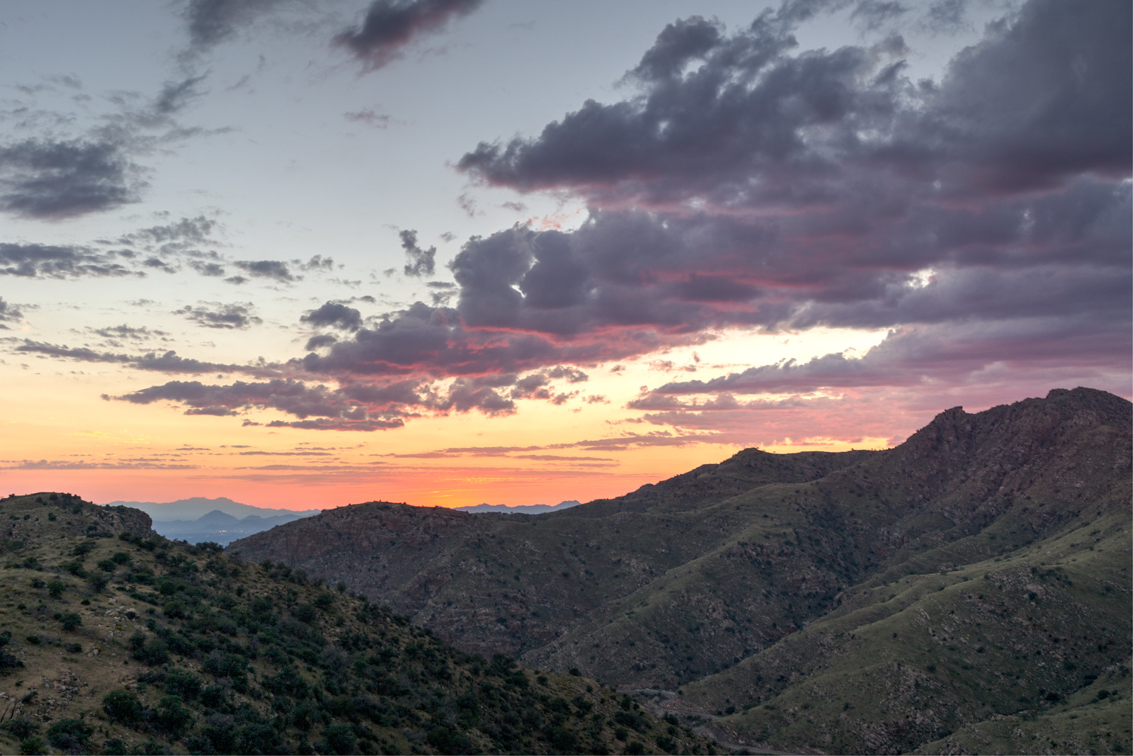
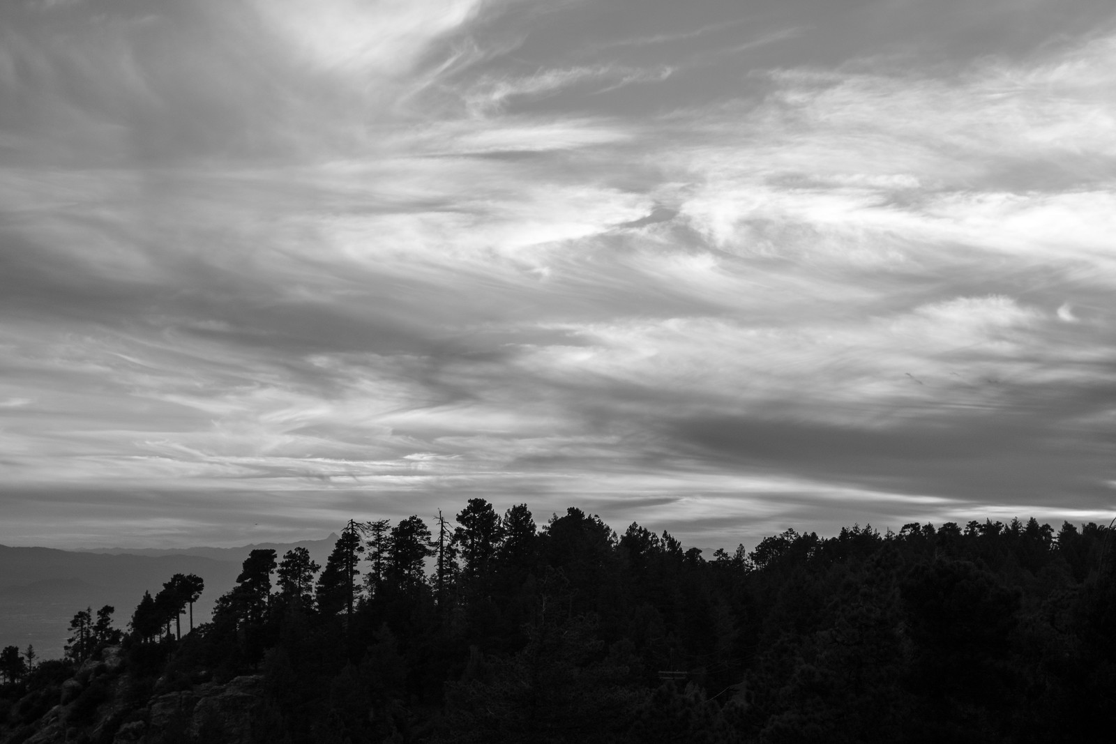
1410 Sunset off the Bigelow Road
Clouds in the Sunset from a hillside near the Bigelow Road not far from Mount Bigelow. October 2014.

I enjoyed an evening run on 1918, Secret and Bigelow Road – on 1918 thru Bear Wallow there are still fall colors on the trees and the fallen leaves on the trail were a treat – the big trees on Secret made the dark cool evening even more enjoyable after our long summer – this was the first time I can remember in recent months that it was cool enough for a long sleeve shirt! 4.9 miles, +/- 890′ of elevation gain/loss.

Point 5166 South of the Bellota Trail, 10/25/2014

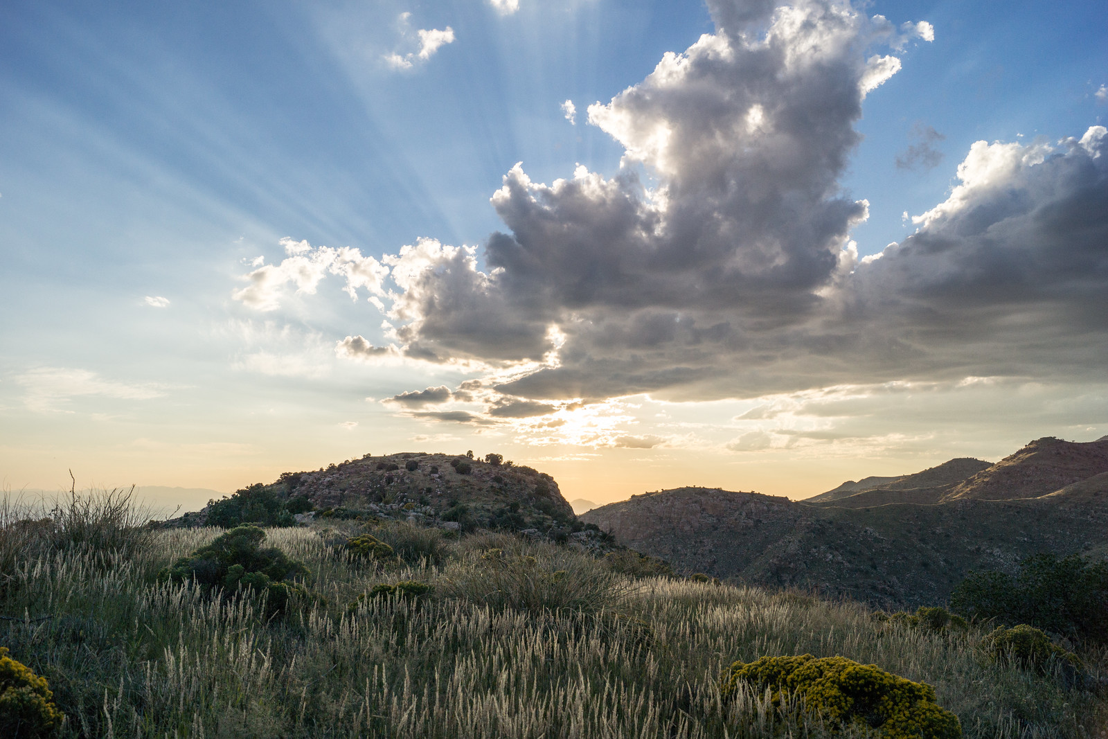
1410 Ridge East of the Highway near the Ruins
The ridge east of the Highway near the Ruins climbing area. October 2014.

We started at the Molino Canyon Overlook and took the un-official climber’s trail (to the Ruins) out of Molino Canyon and up to the ridge. Earlier in the year we turned to the south and visited the Weathertop area – today we turned north and hiked in the sea of grass and shindaggers along the ridge while the sun disappeared in the west.

1410 The Day Trailing into West
The day trailing off to the west. October 2014.

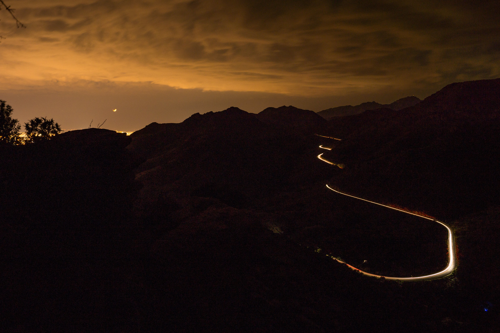
We reached Point 5166 in the dark – the rocky high point is south of the Bellota Trail – we watched lights on the highway and Redington Road, City Lights, Clouds and the stars.

1410 Night on Point 5166 above the Bellota Trail
On Point 5166 watching cars coming down the highway with the clouds lit by the city lights. October 2014.

On the Bellota Trail we sat and pulled the painful grass seeds out of our shoes while a Mantis used us and our lights to hunt. With the finish on the highway back to the car – 4.5 miles, +/-1250′ of elevation gain/loss.

1410 A Mantis on the Bellota Trail
Mantis. October 2014.

Palisade Trail to Pine Canyon, 10/19/2014

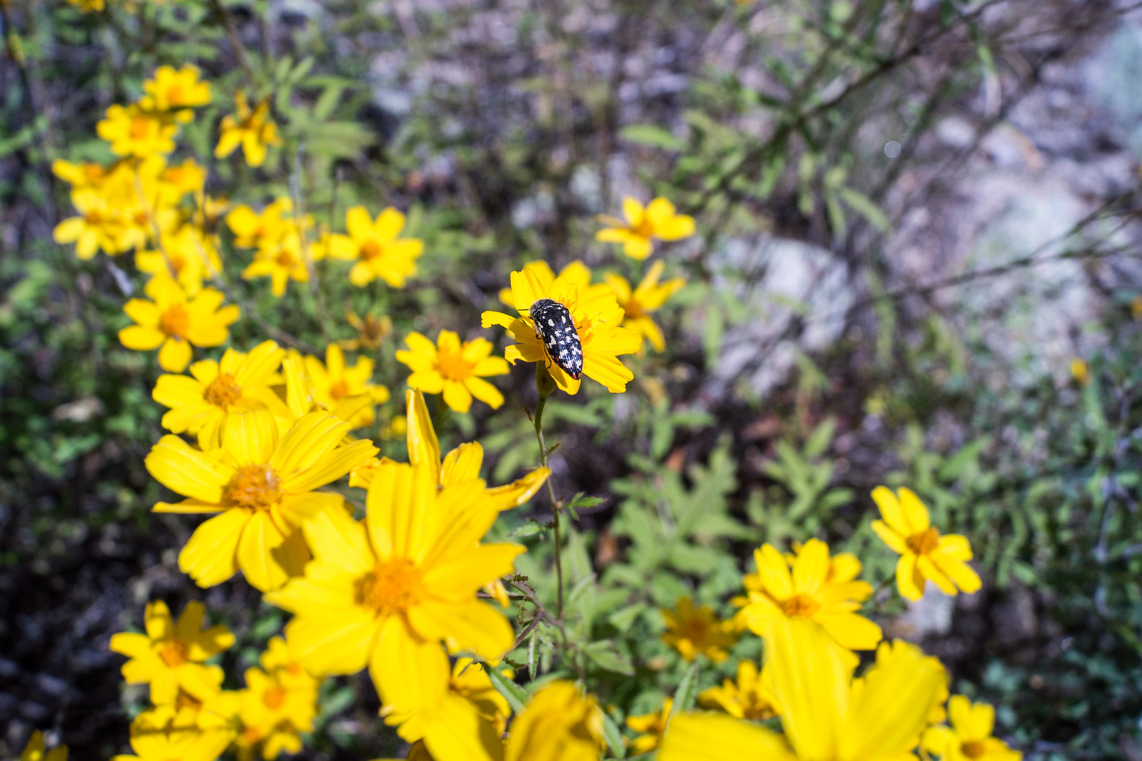
1410 Acmaeodera
An Acmaeodera on yellow flowers just off the Palisade Trail on the banks of Pine Canyon (I believe this is an Acmaeodera Gibbula on ‘Mountain Marigold’ Tagetes lemmoni). October 2014.

It was great to see clouds in the sky from the Palisade Trailhead, but it wasn’t until we left the Palisade Trail some 3 miles into our hike, wandered thru the yellow flowers and explored Pine Canyon above the first falls that I looked back and realized that we might get to enjoy some rain…

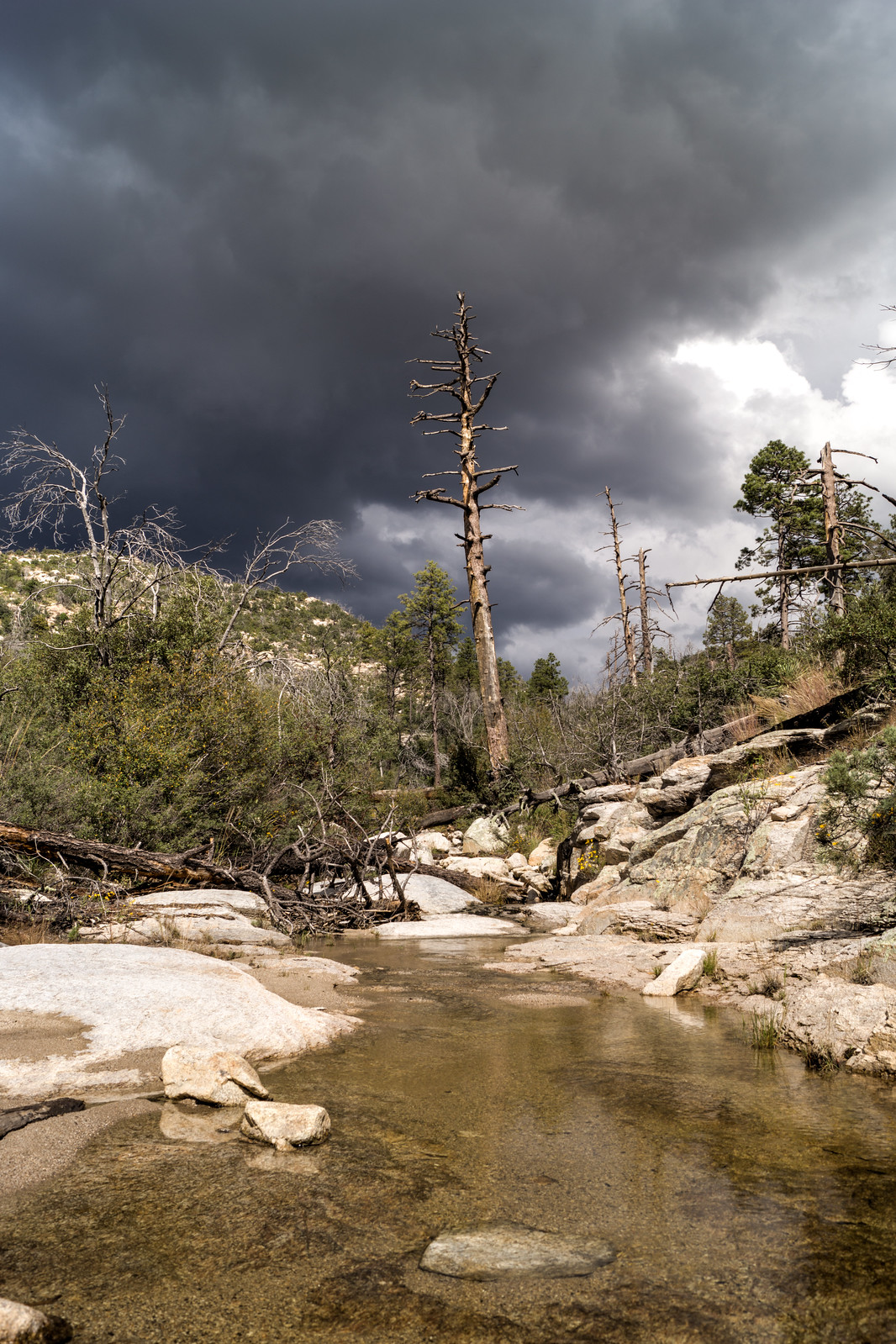
1410 Above the First Falls Looking up Pine Canyon
In Pine Canyon looking up-canyon into the dark clouds – above the first falls. October 2014.

Water was flowing nicely at the first falls – but it wasn’t our destination for the day. We continued down the trail – past Mud Spring – eventually leaving the trail and taking a small drainage towards a favorite spot above Pine Canyon.

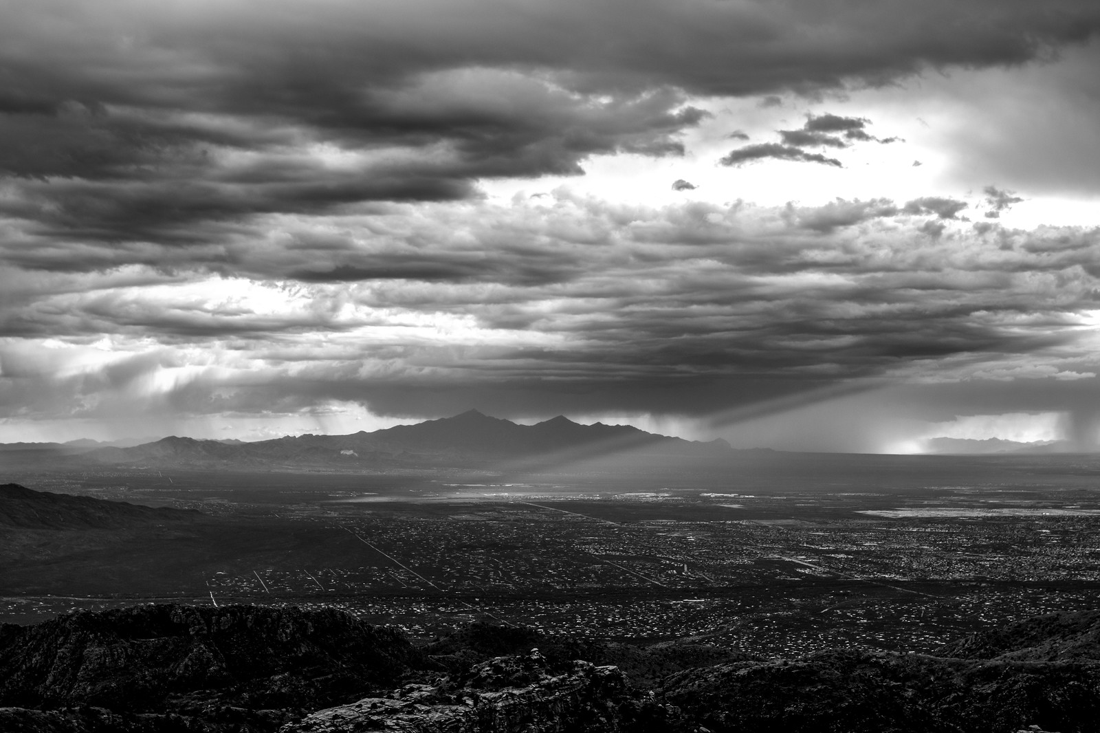
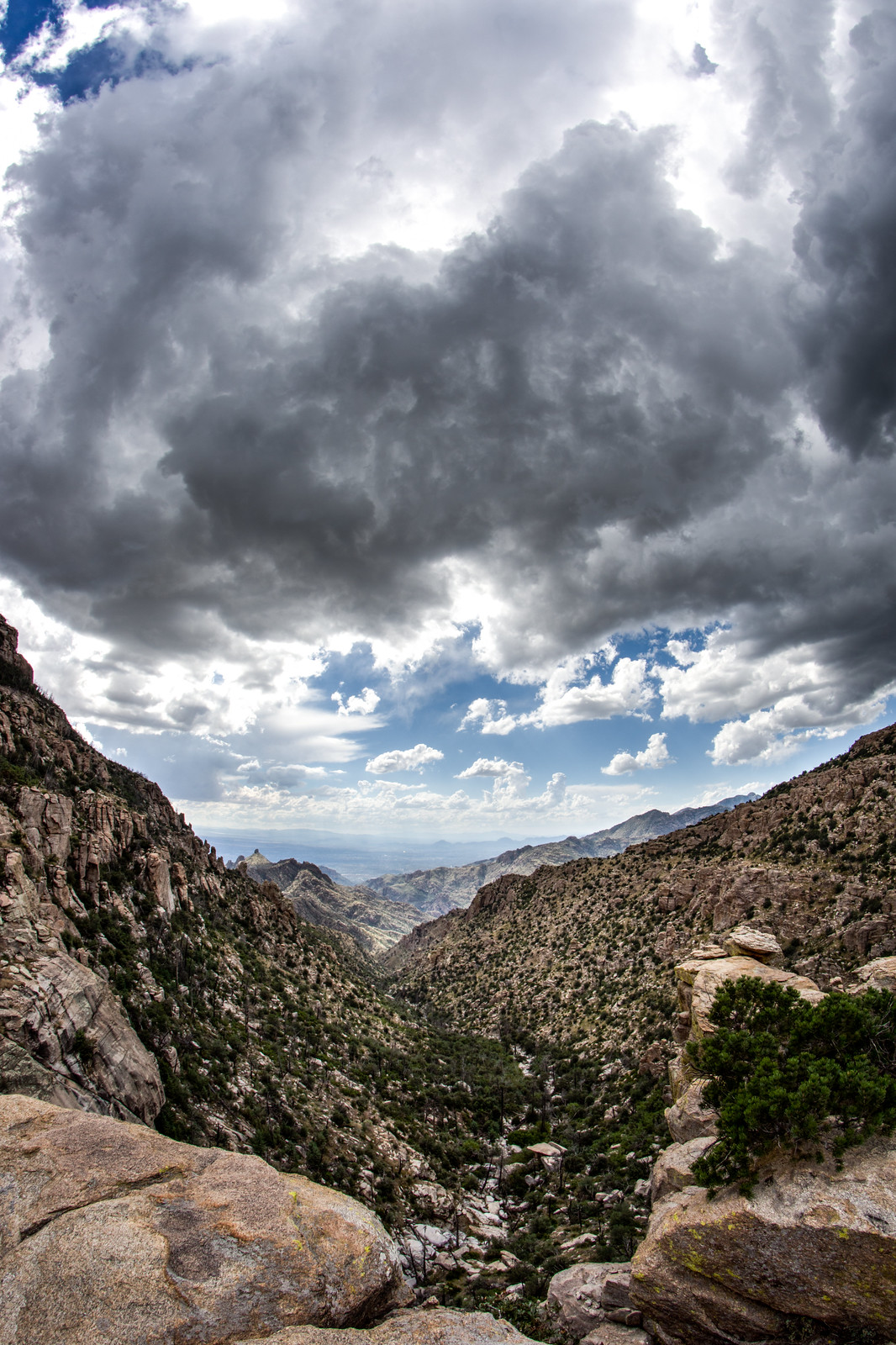
1410 Looking down Pine Canyon Storm Moving In
Looking down Pine Canyon into Tucson with beautiful storm clouds above. October 2014.

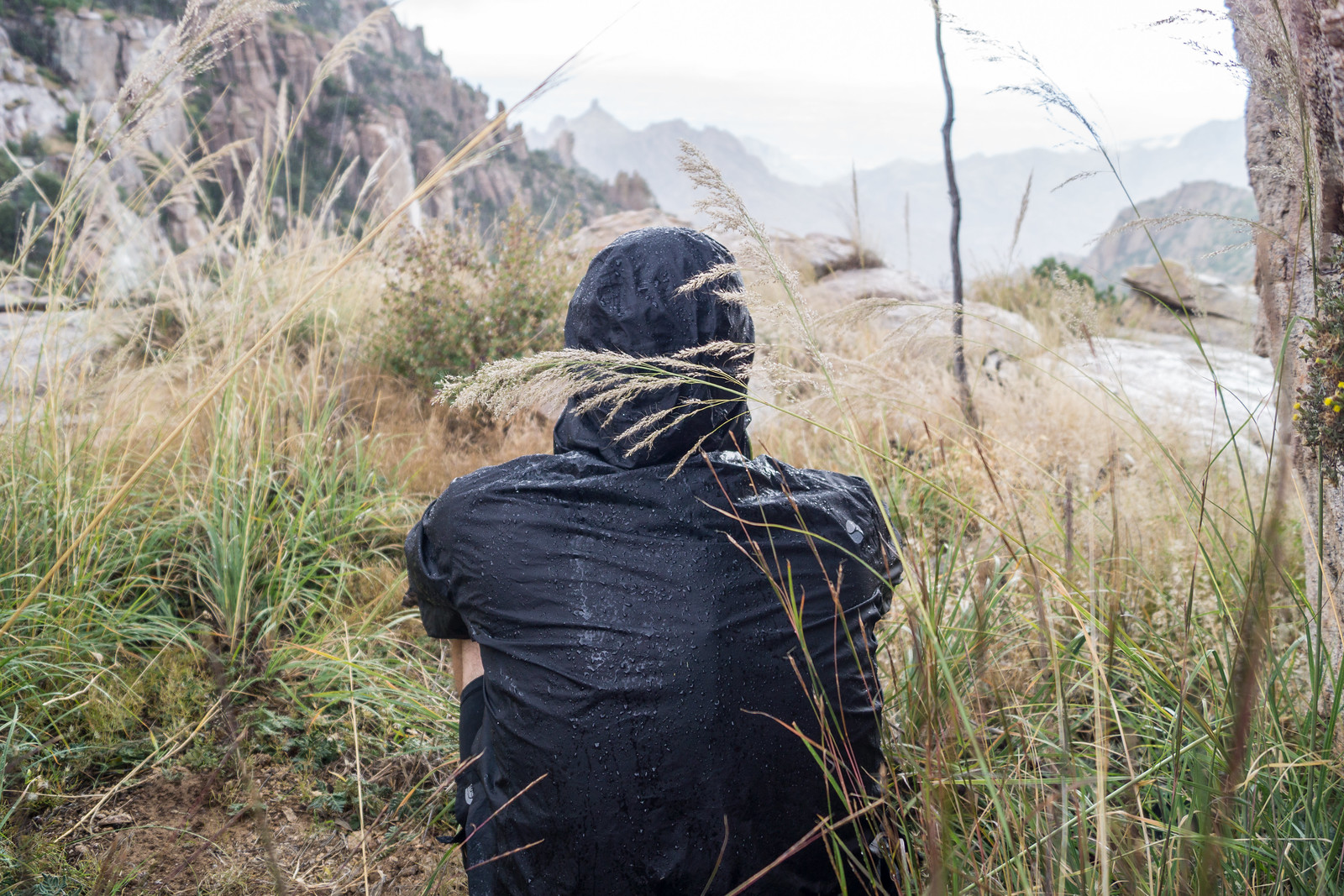
It was a good day to sit for awhile and enjoy the rain… 7 miles, +/-1600′ of elevation gain/loss.

1410 Watching a Storm from the West Ridge of Pine Canyon
Enjoying the storm. October 2014.