The flowers on the Meadow Trail are fading a bit, ferns on the Mt. Lemmon Trail are starting to brown and small drainages crossing the Wilderness of Rocks Trail are beginning to go dry – the summer rains are gone, but summer temperatures are still very much here – a nice time to be at the top of the mountain.
Browning ferns along the Mt. Lemmon Trail. August 2017.Clouds and trees reflected in Lemmon Creek. August 2017.Red galls in the Manzanita from Leafgall Aphids. August 2017.
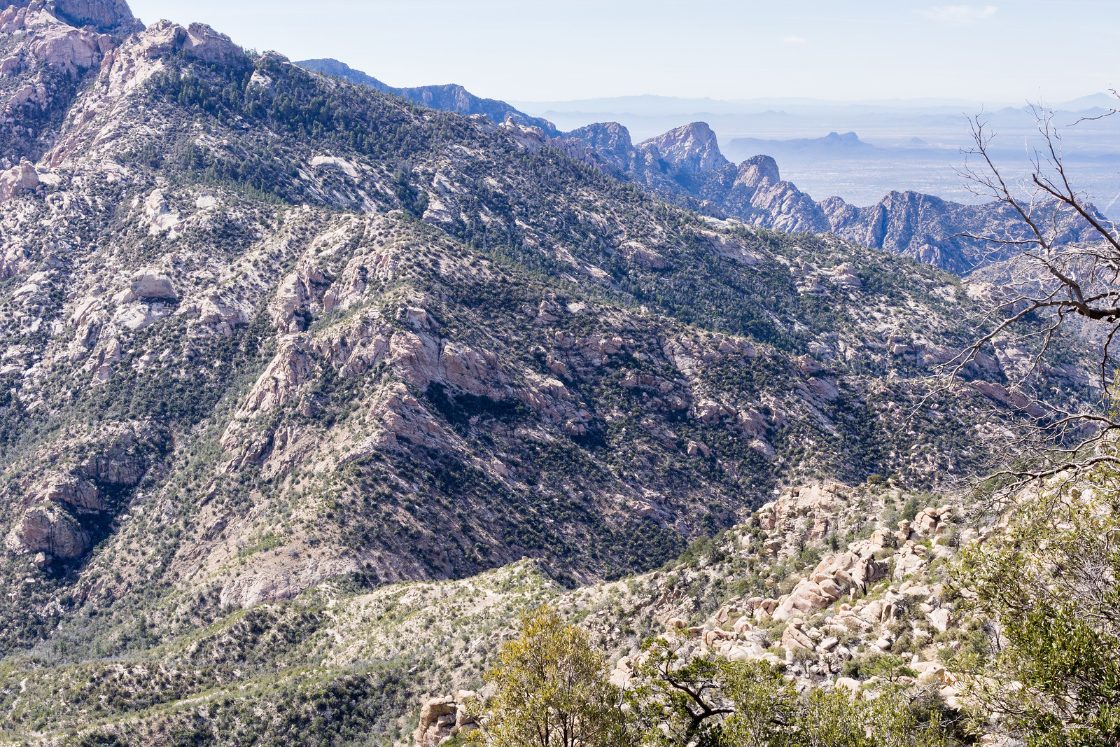
Looking down on Romero Pass from the Mount Lemmon Trail – Table Mountain in the background. February 2015.
I recently volunteered to help a with a AZGF Bighorn Sheep research project and have a number of points in the Romero Pass area to visit – today was my first time out, I was slow collecting the vegetation survey information but did manage to get a few points done – and it was a great reason to visit this area! Wilderness of Rocks and then Mount Lemmon Trail towards Romero Pass – 15.9 miles, +/- 3800′.
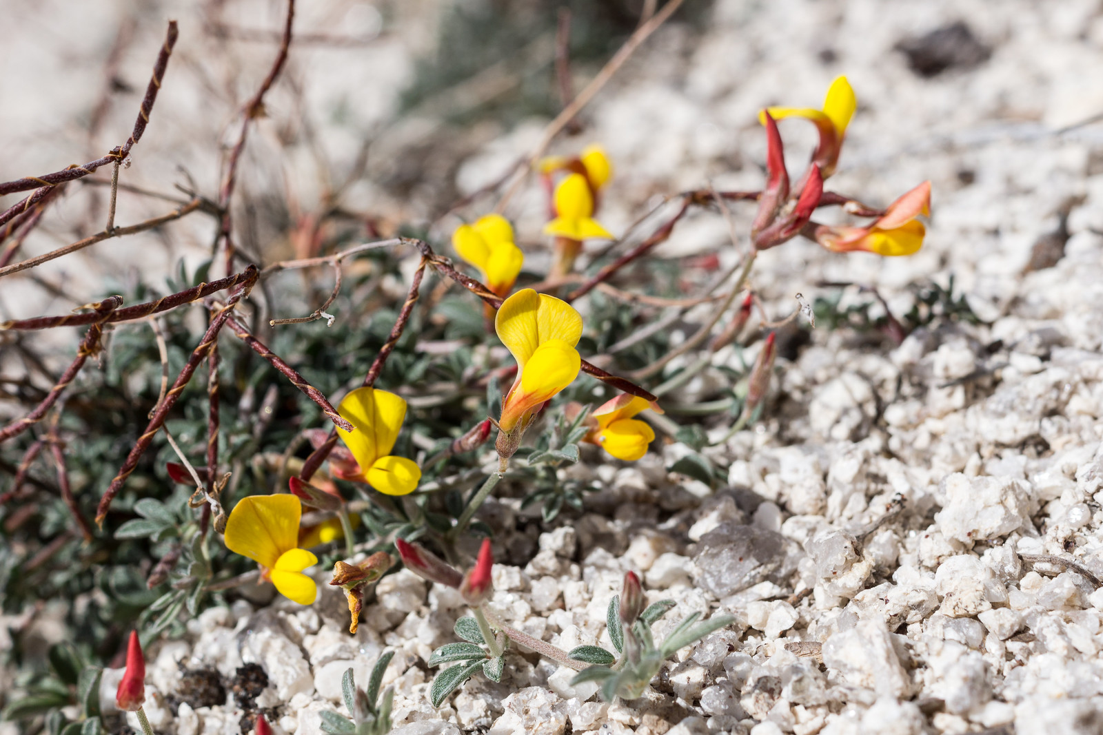
A Lotus above Romero Pass on the Mount Lemmon Trail. February 2014.
It was raining when I parked at the Mint Spring Trailhead – not hard, but enough to make me reorganize some of my gear into Aloksaks to keep everything dry – just enough effort to keep the rain away for the rest of the evening! Highlights:
Mint Spring Trail – The first part of the trail was wonderfully overgrown – in spots the trail was almost a tunnel thru all of the summer growth – the fern covered hillsides with flowers peaking thru were memorable.
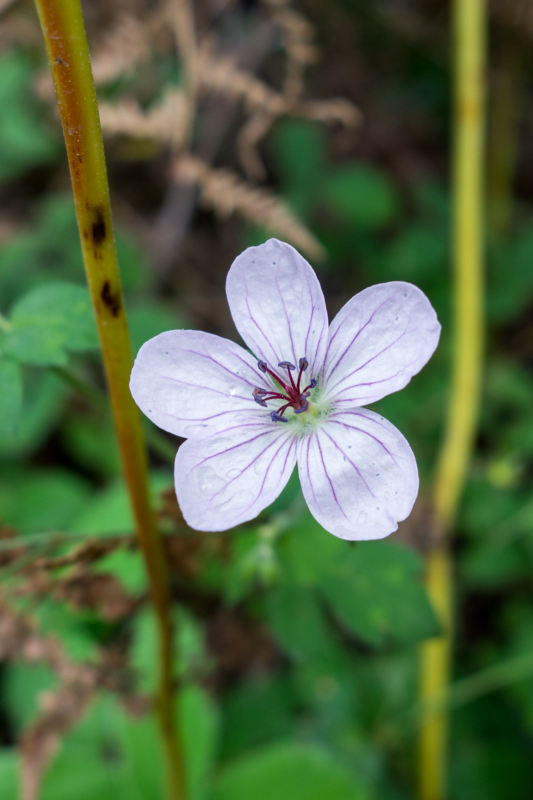
On the Mint Spring Trail – geranium richardsonii – Richardson’s Geranium I believe… September 2014.
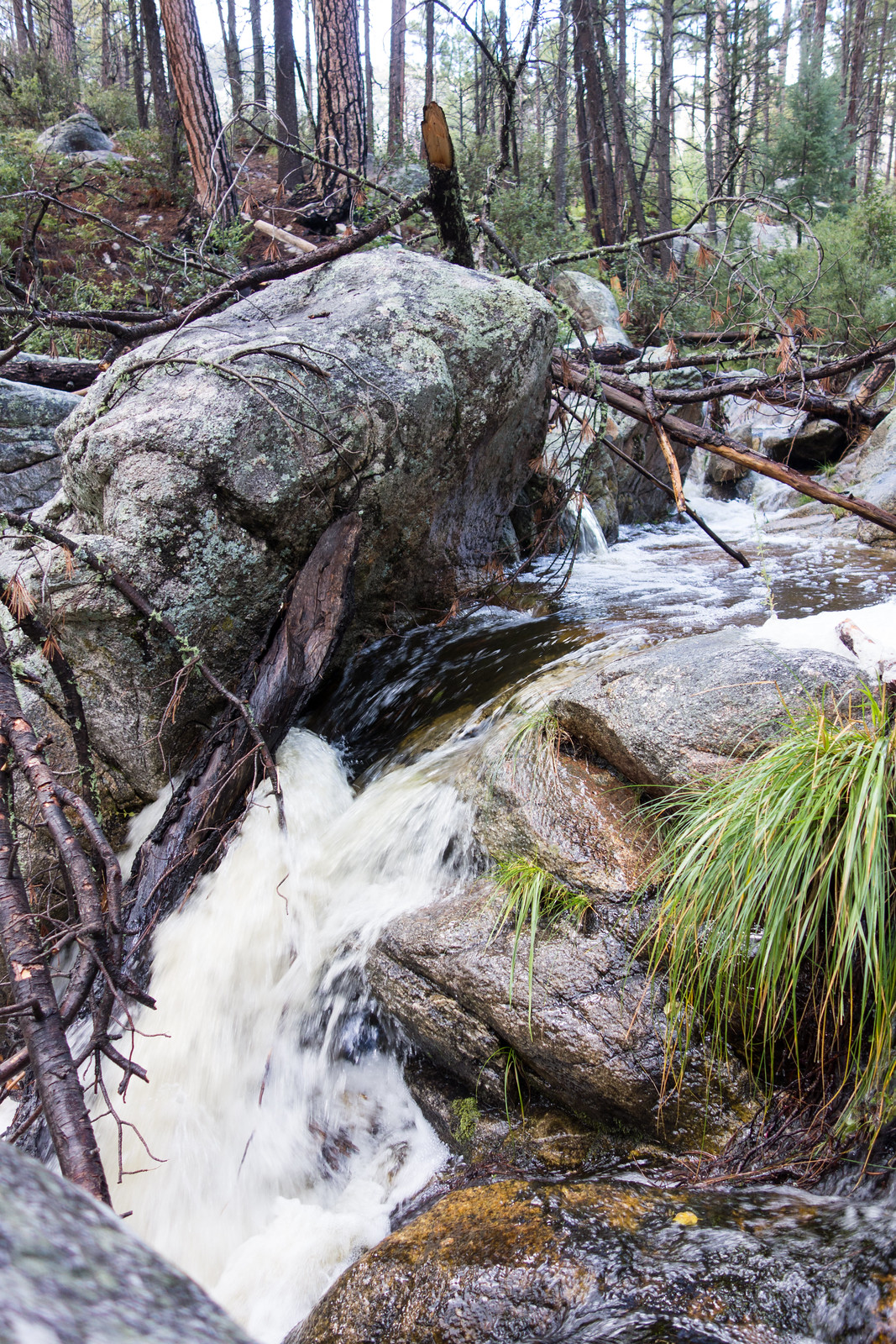
Wilderness of Rock Trail – Water! Not the highest/fastest I have seen the water here – but enough that to make it exciting to see – small waterfalls, spills and pools!
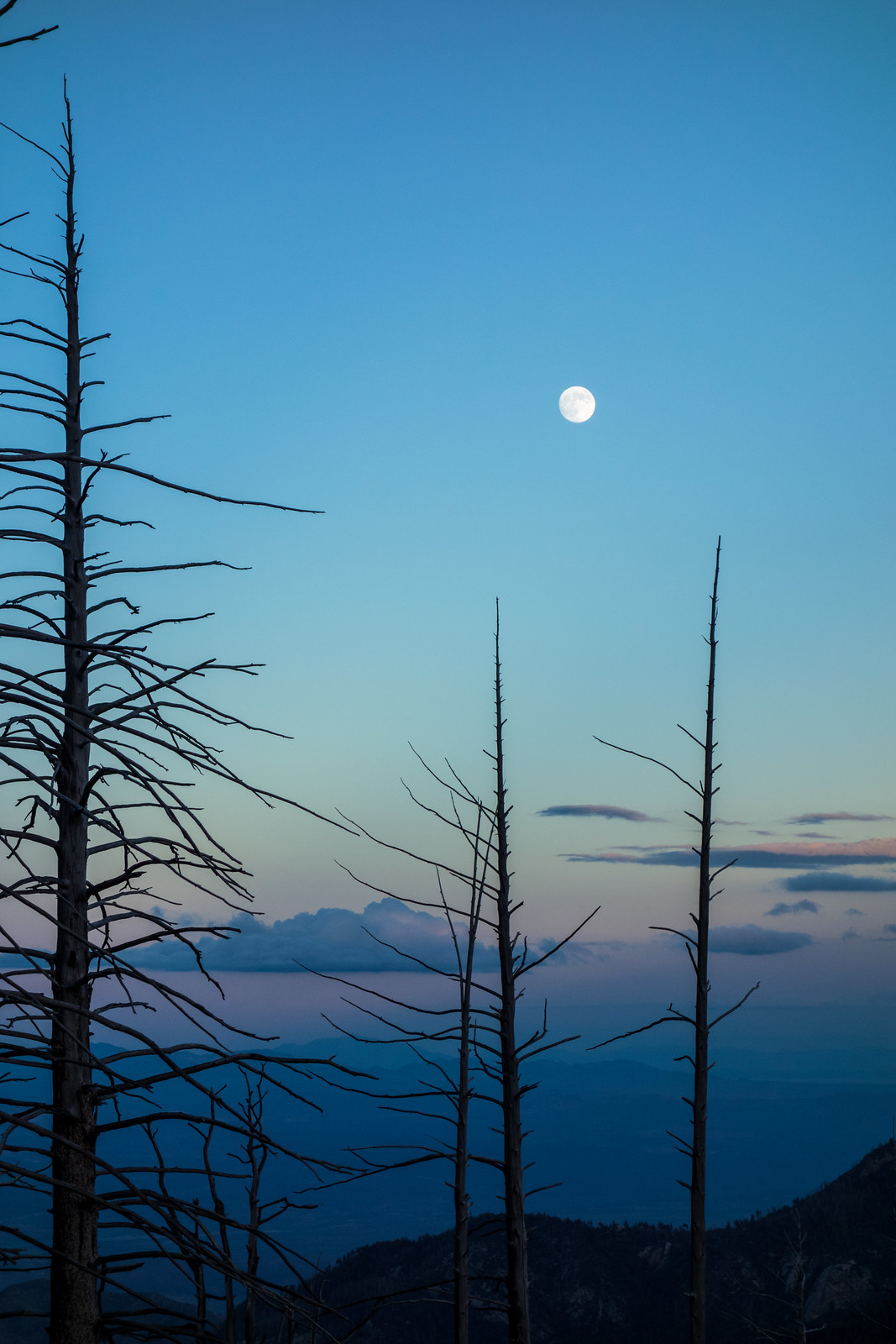
Rushing water near the Wilderness of Rock Trail. September 2014.Aspen Trail – On the last climb to the ridge, burned years ago and now quite open, the flowers were blooming and beautiful and I had great views of the moon.
Moon and trees – near the top of the Aspen Trail. September 2014.Aspen Draw Trail – Sections of soft trail thru the big trees, it wasn’t long after starting the trail that I had to get out my headlamp to navigate the dark tree covered trail.
I finished with a run thru Summerhaven, by the time I arrived nothing was open (not unexpected on a Sunday night – but I was still hoping…), and the streets were nearly empty… 11.75 miles, 2600′ of elevation gain/loss.
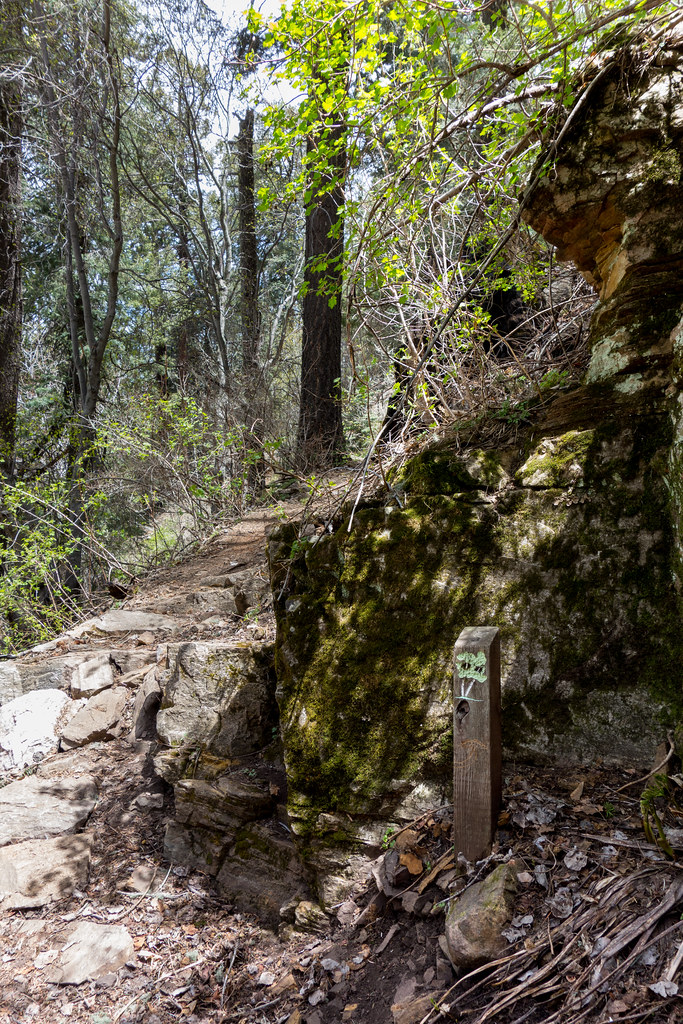
Summerhaven – Turkey Run – Aspen Draw – Radio Ridge – I wonder if the Forest Service or Arizona Historical Society have the brochure that matches the old markers along the trail – it would be fun to hike the trail and read the descriptions…