Late afternoon shadows, sunset and a recently placed Fire Restrictions sign in Pima Canyon.


Late afternoon shadows, sunset and a recently placed Fire Restrictions sign in Pima Canyon.
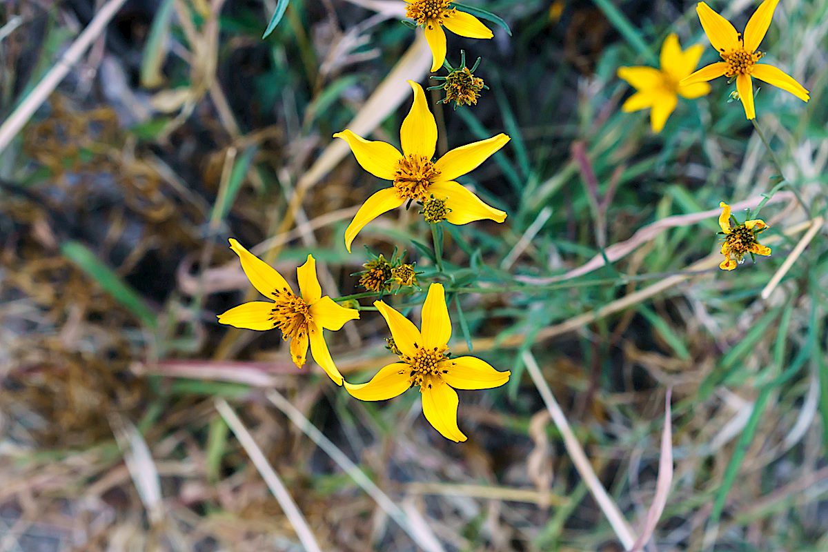
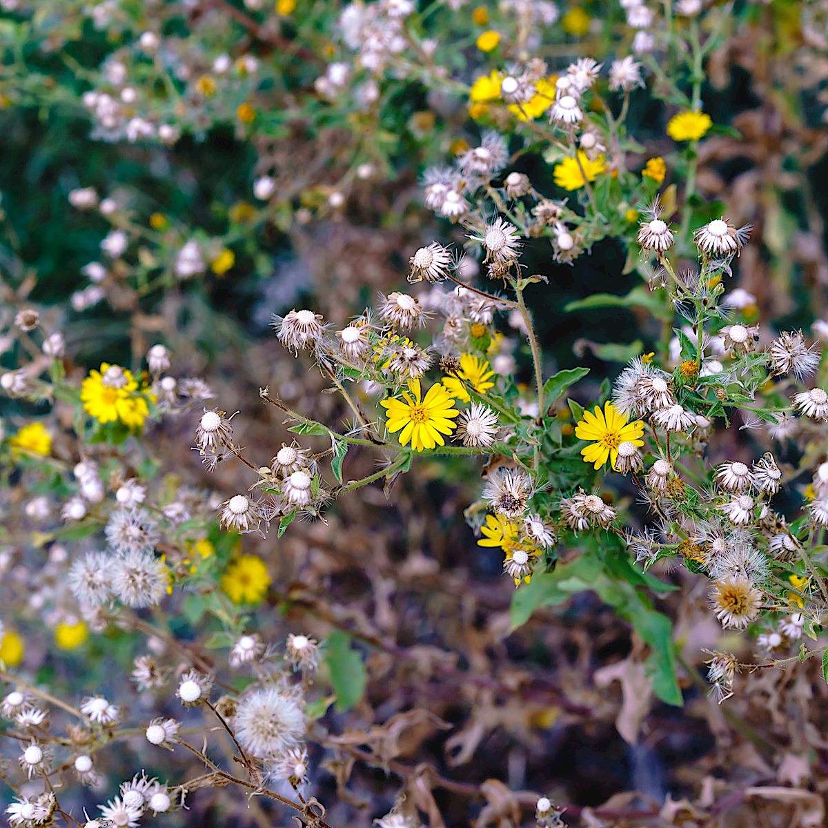
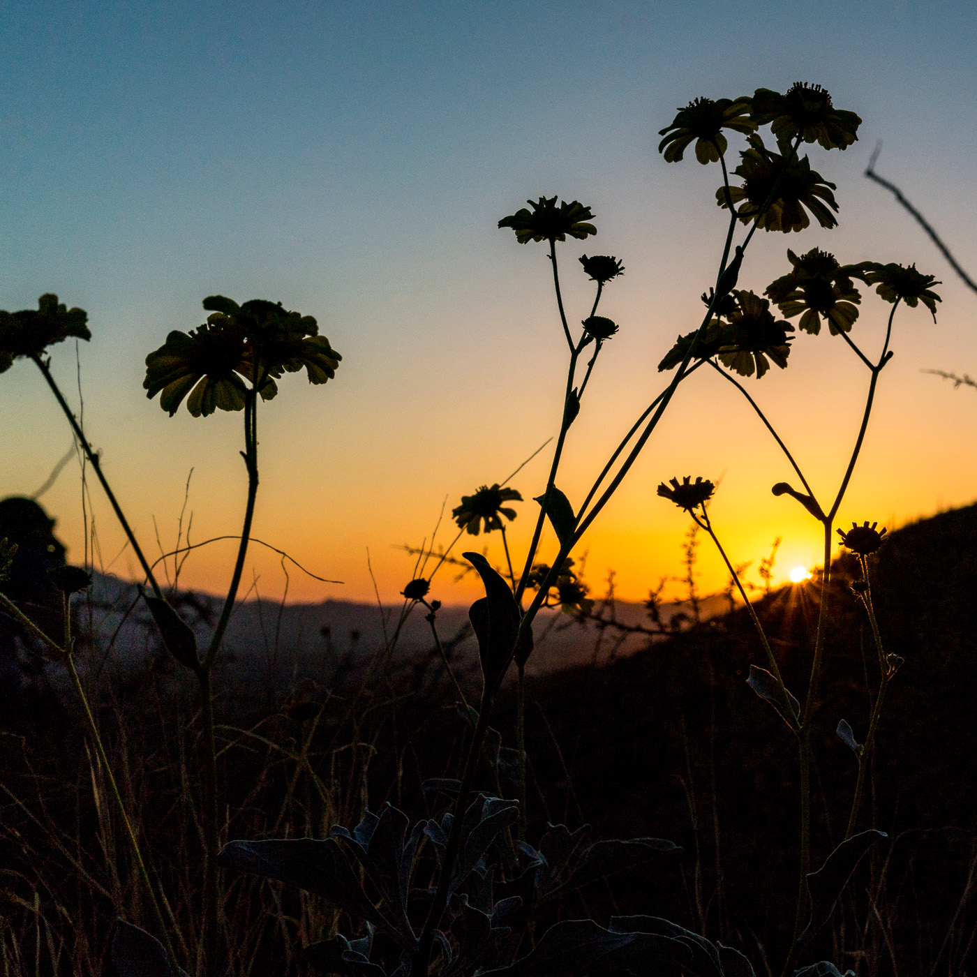
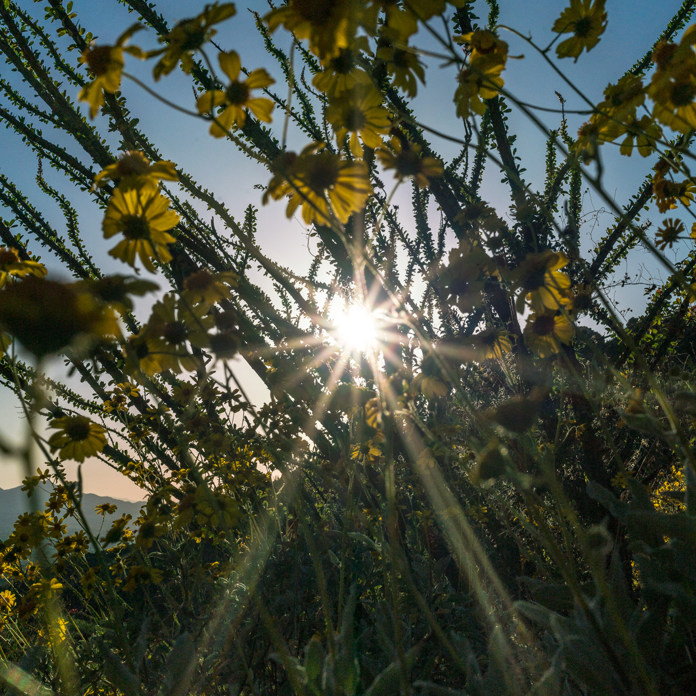
Flowers in Sabino Canyon lingering boldly into November – it is hard at the moment to imagine the top of the Santa Catalina Mountains turning a winter white, and while I know winter will come part of me feels like this this warm always-summer season will roll right into next year…
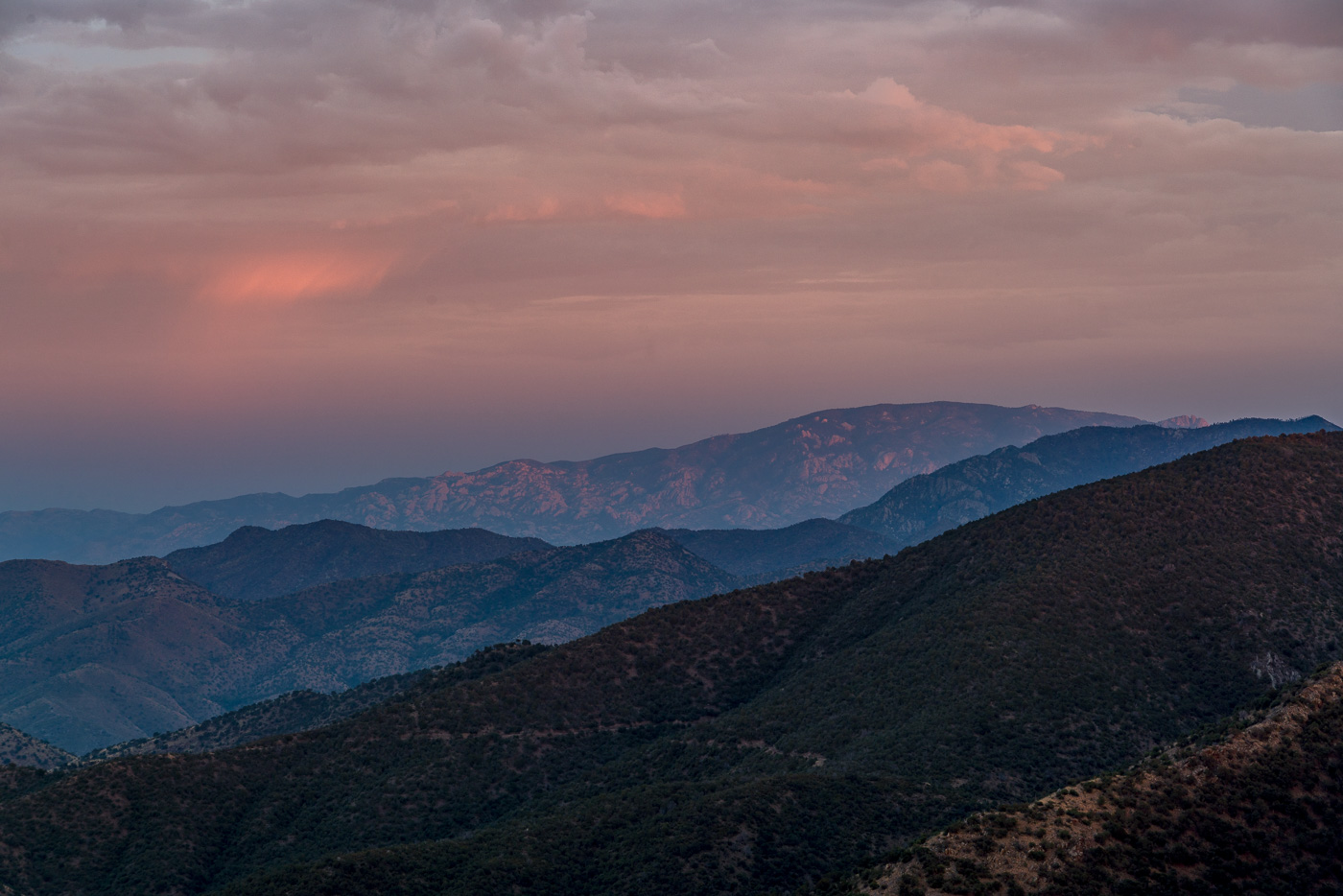
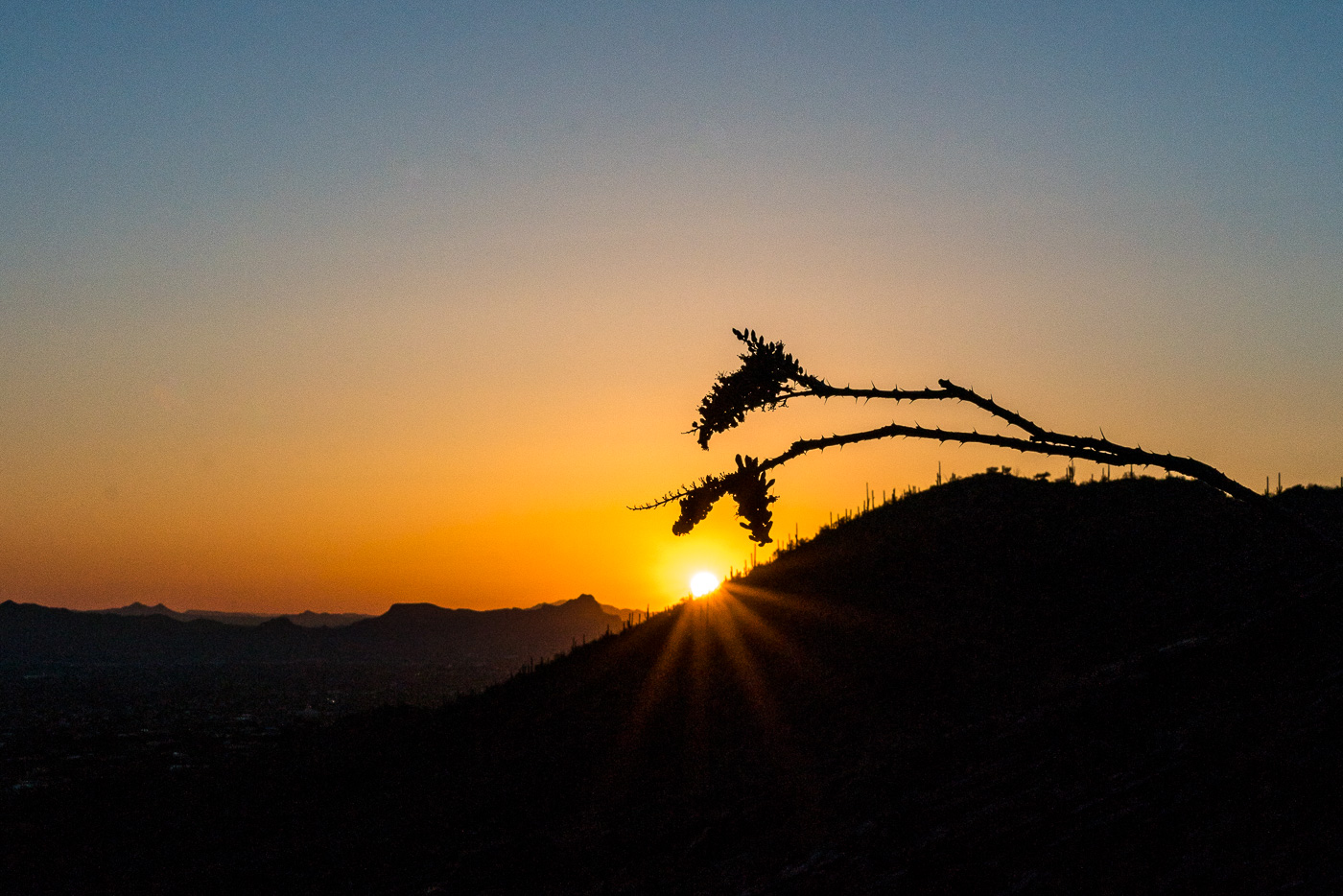
From the Lower Oracle Ridge Trailhead it is about 4 miles to get to the top of Apache Peak located on the north end of the Santa Catalina Mountains. Most of the miles are on the Oracle Ridge Trail which traverses below the peak, but there is no established trail for the final steep climb, and in my experience while you can pick better/worse ways to the top there probably is not a ‘great’ way up (the climb is not overly long but expect the standard rocky/loose/brushy off-trail Santa Catalina hillside…).
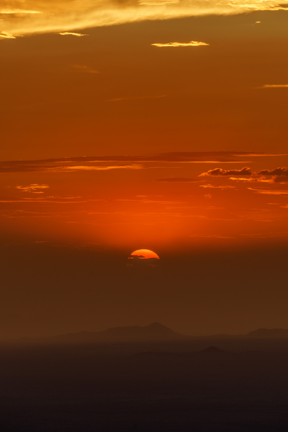
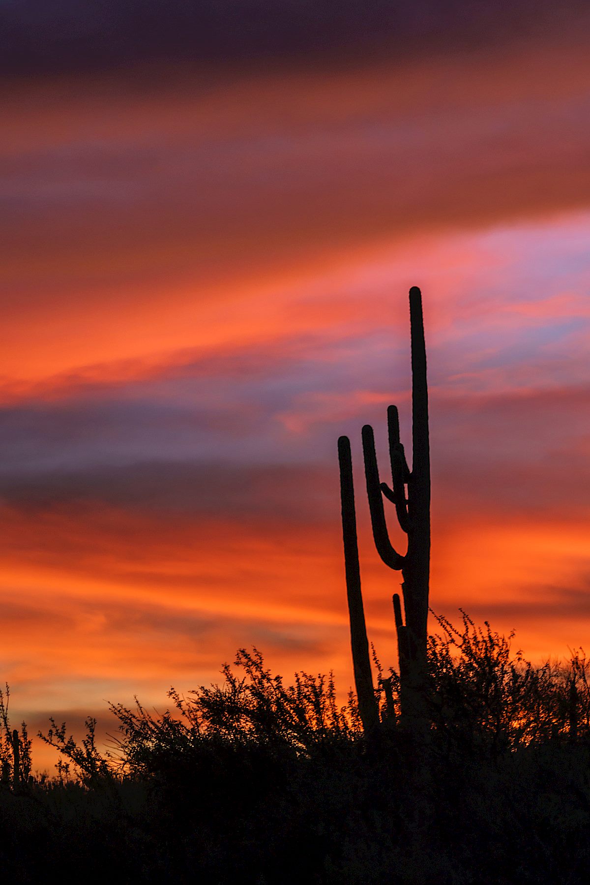
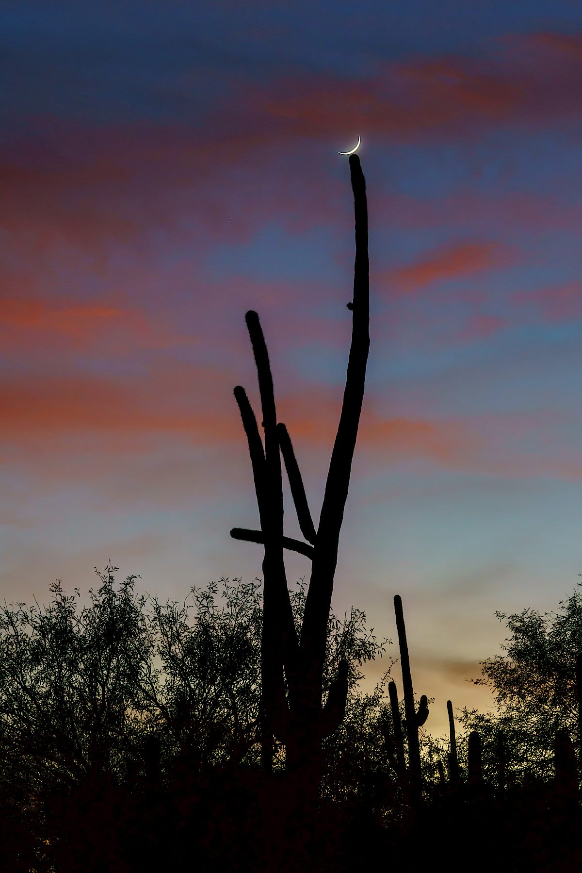
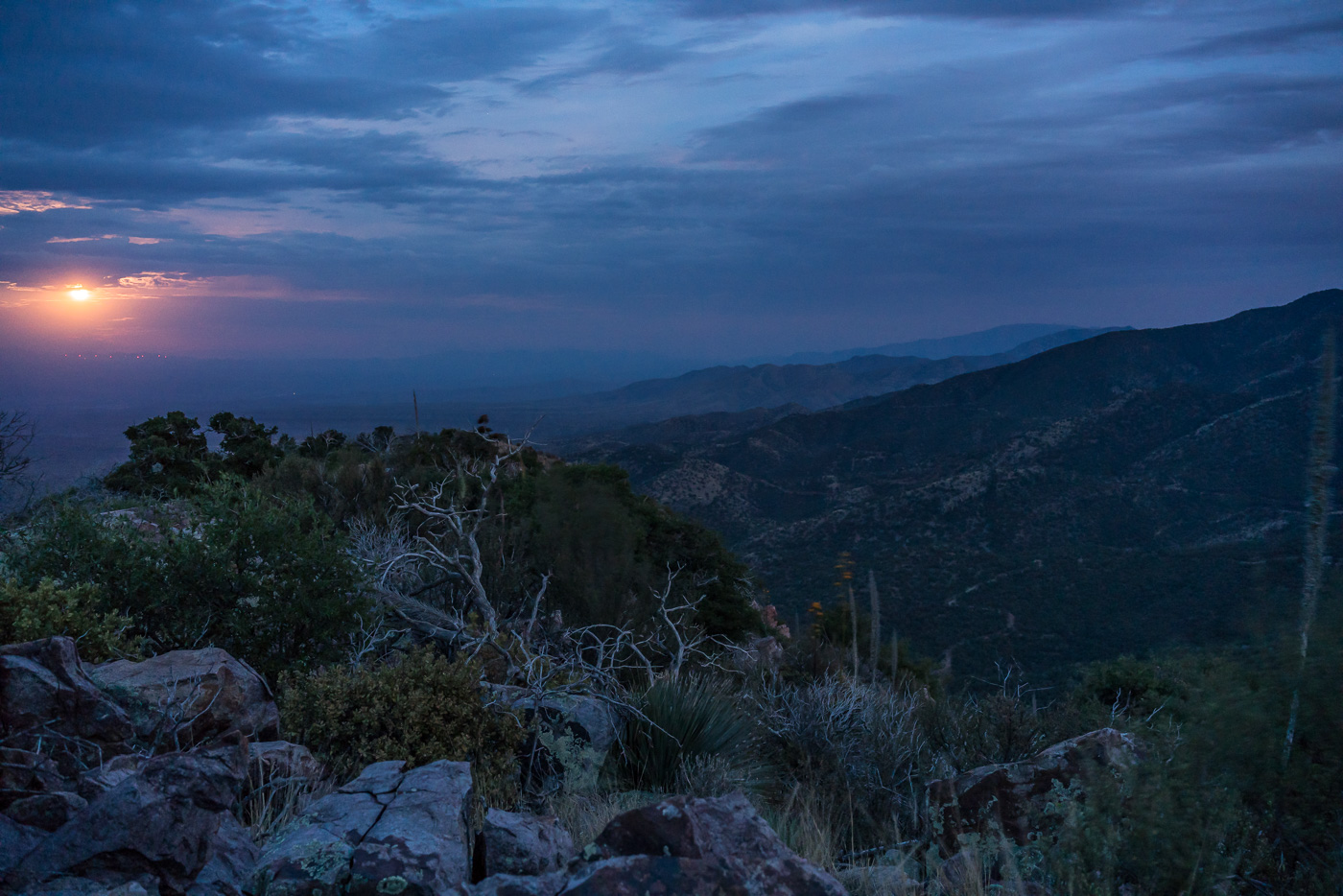
I arrive at the top just in time for the last light on the ridges to the south, the sun dipping below the clouds on the horizon, city lights coming on thru Charouleau Gap and the moon peaking thru the clouds as it rises over the San Pedro Valley – but tonight it is what I don’t see that is the surprise: no glow from the Burro Fire (currently at just over 27,000 acres), no spots of flame visible on the distant ridges and no obvious/large columns of smoke! The Burro Fire is burning to the south – Apache Peak certainly doesn’t have a view directly into the active part of the fire, but I suspect that the fire would have been clearly visible from here several days ago…
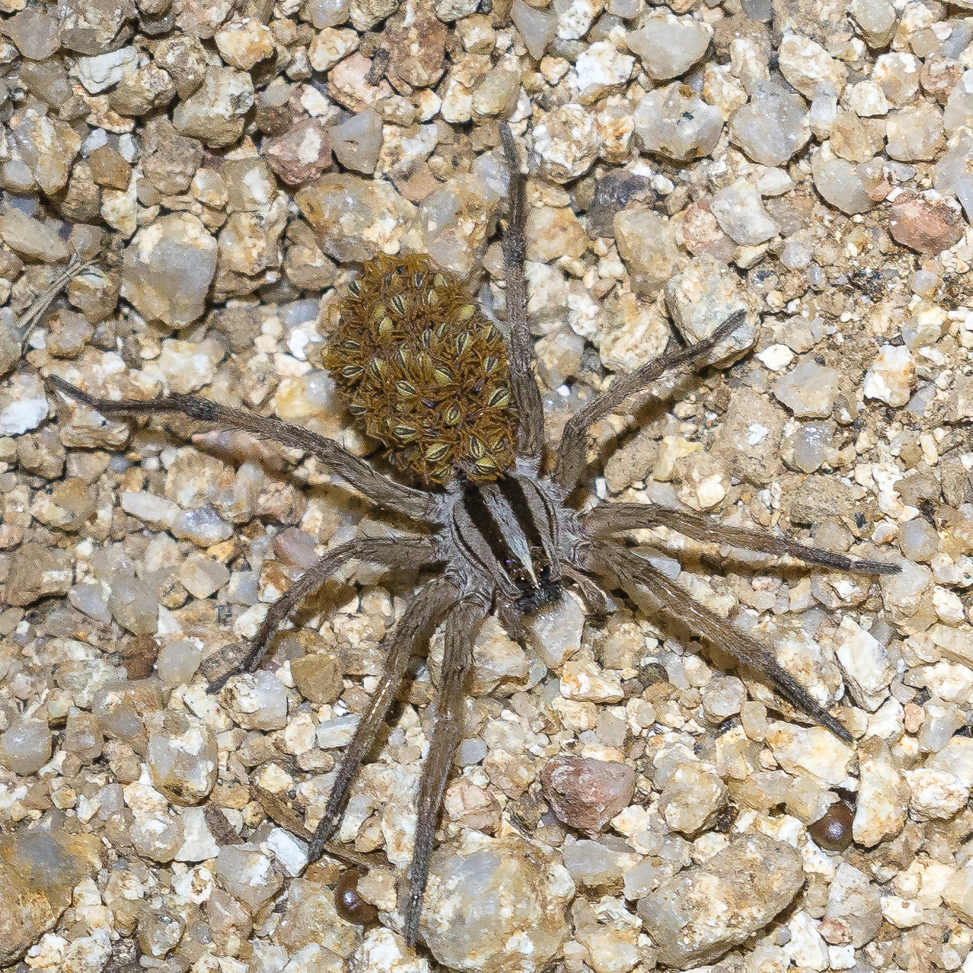
Clouds covering the moon make the hike back down surprisingly dark – spider eyes glint in the headlamp beam and when I finally slow down to look more closely it turns out to be many more spiders than I thought…
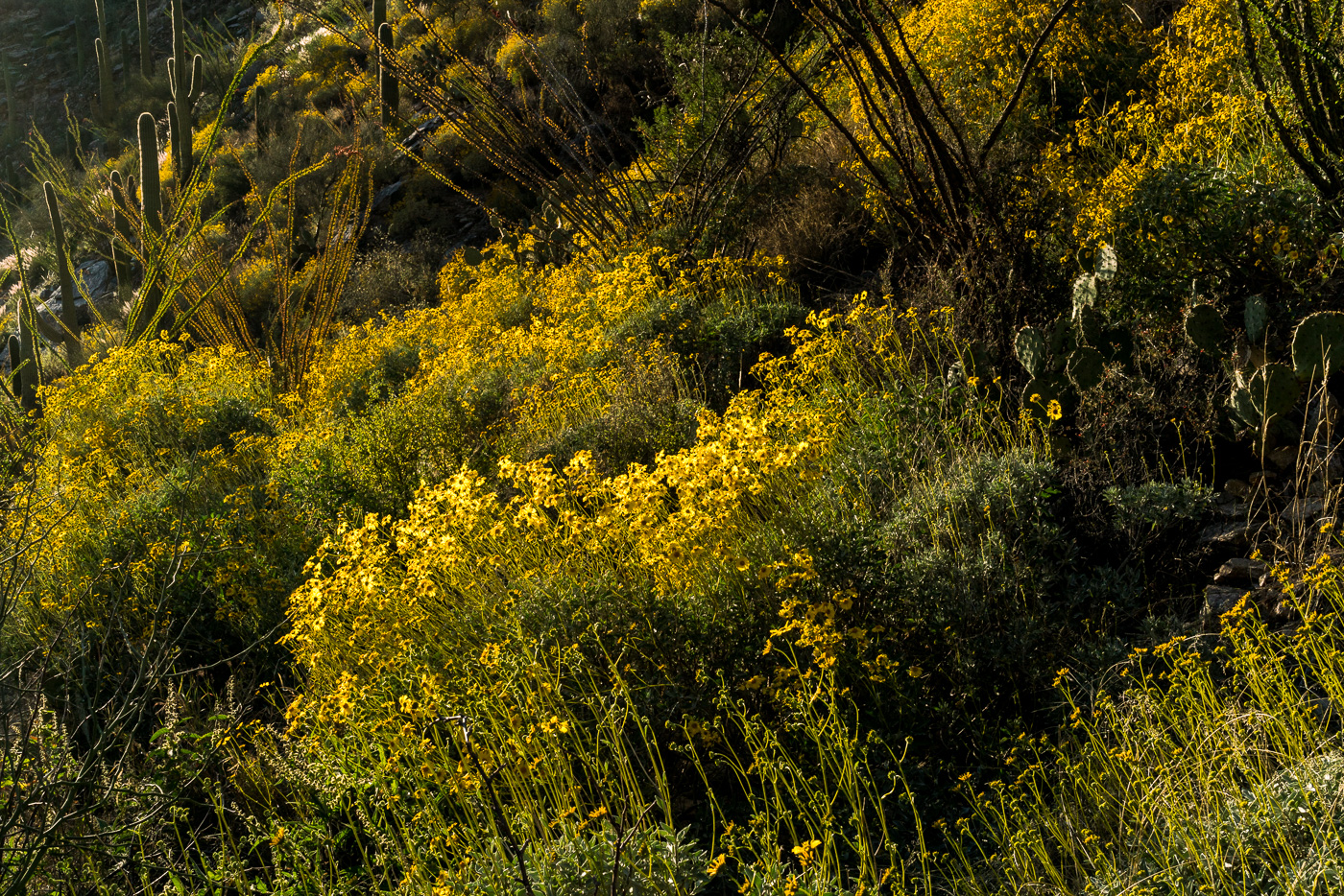
The Brittlebush has lined the Pontatoc Canyon Trail with yellow flowers filling the gaps between all the other flowers – it has been fun this year to make enough visits to the lower part of the trail to see the wildflower season start/grow/explode along the trail!
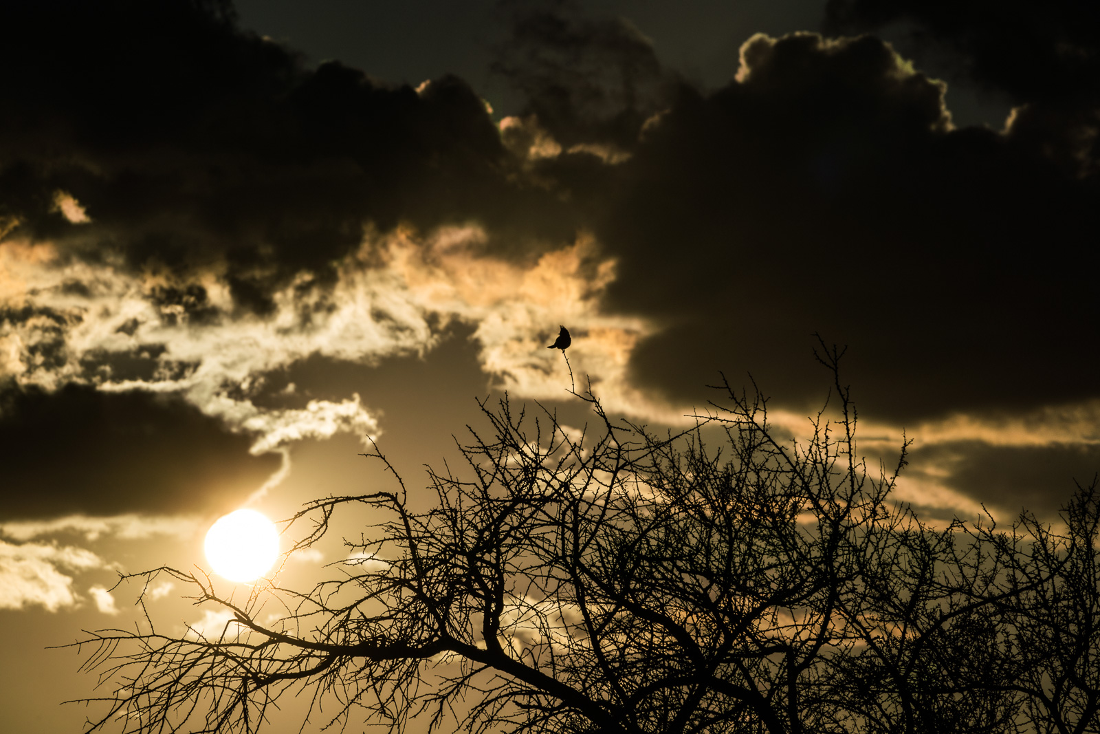
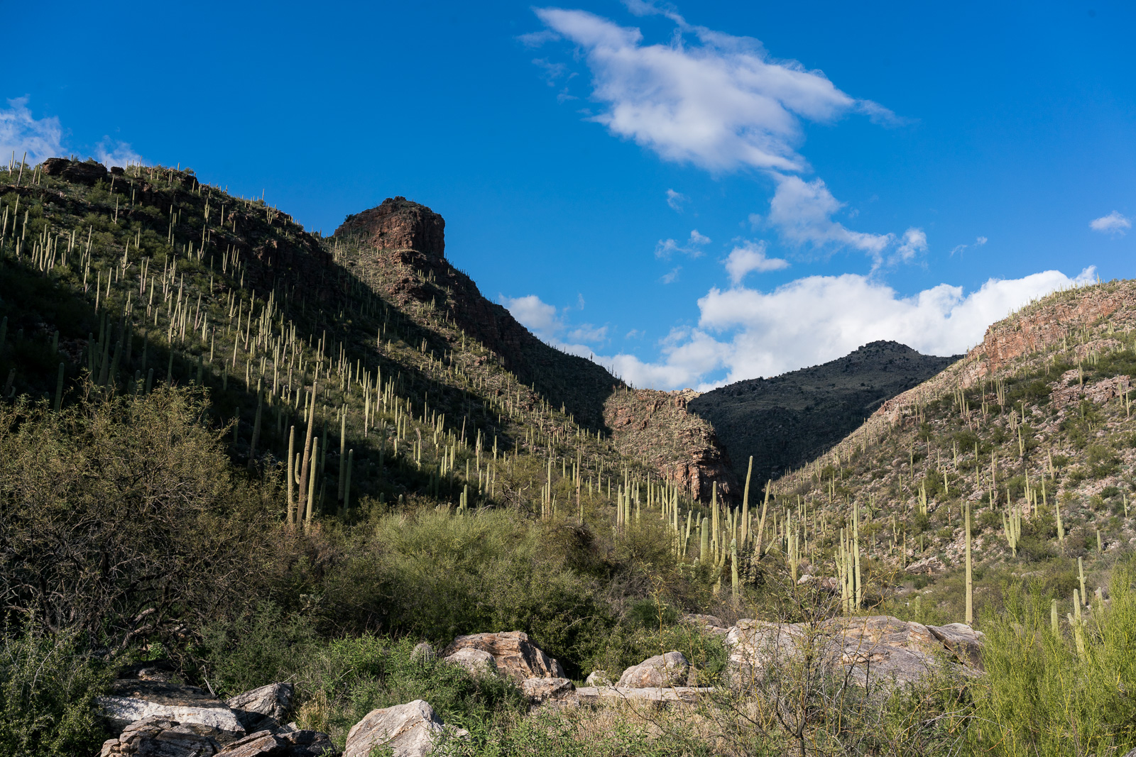
The Tram Road in Sabino Canyon is not always my favorite – but today… Clouds and beautiful colors in the sky – Phainopepla in the trees – easy walking.
Good light makes it easy to see the grey color of the female Phainolpepla and the shiny black of the males – sometimes perched, calling, at the top of the trees, sometimes flying, flashing the light patches under their wings. The Phainopepla are here for the Mistletoe berries – they eat the outer layers and expel the the sticky seed giving the parasitic Mistletoe a chance to spread.
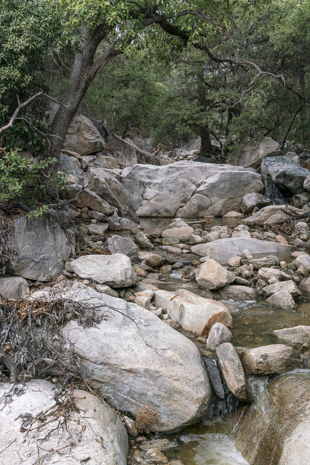
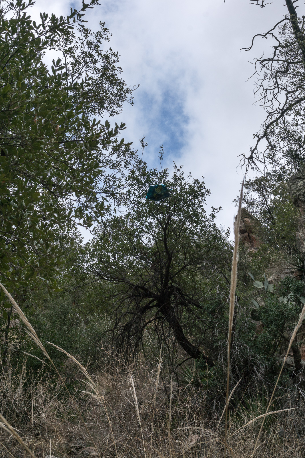
The easy walking on the tram road is appreciated today – with limited time I tried, and failed, to get to Bridal Veil Falls and after turning around under a just-out-of-reach deflated balloon stuck in a tree in Esperero Canyon (the first trash I had seen in miles) I was exhausted and happy to reach the tram road…