The Bighorn Sheep Reintroduction Project Update Status update for 7/7 to 7/20 is now available (all updates are currently available here). Interesting details:
- 13 of the remaining 14 collared sheep are known to be alive; one of the collars maybe malfunctioning.
- The lambs were last observed 4-6 weeks ago and are assumed to be doing well.
- Researchers are planning to use the Cox proportional hazards (PH) model to help them examine the influence of different factors on sheep mortality. Horizontal visibility is mentioned as an important factor in mountain lion predation and a variable that the researchers would like to collect data on – possibly using volunteers.
From the latest update: “While the methods for measuring [horizontal visibility] are pretty straightforward, the challenge for our research team will be reaching all the necessary locations, so we may be calling for volunteers to help us in the near future! So if you like to hike in the Catalinas and want to follow in the footsteps of a bighorn sheep or two, there may soon be an opportunity to be involved in our ongoing research!”
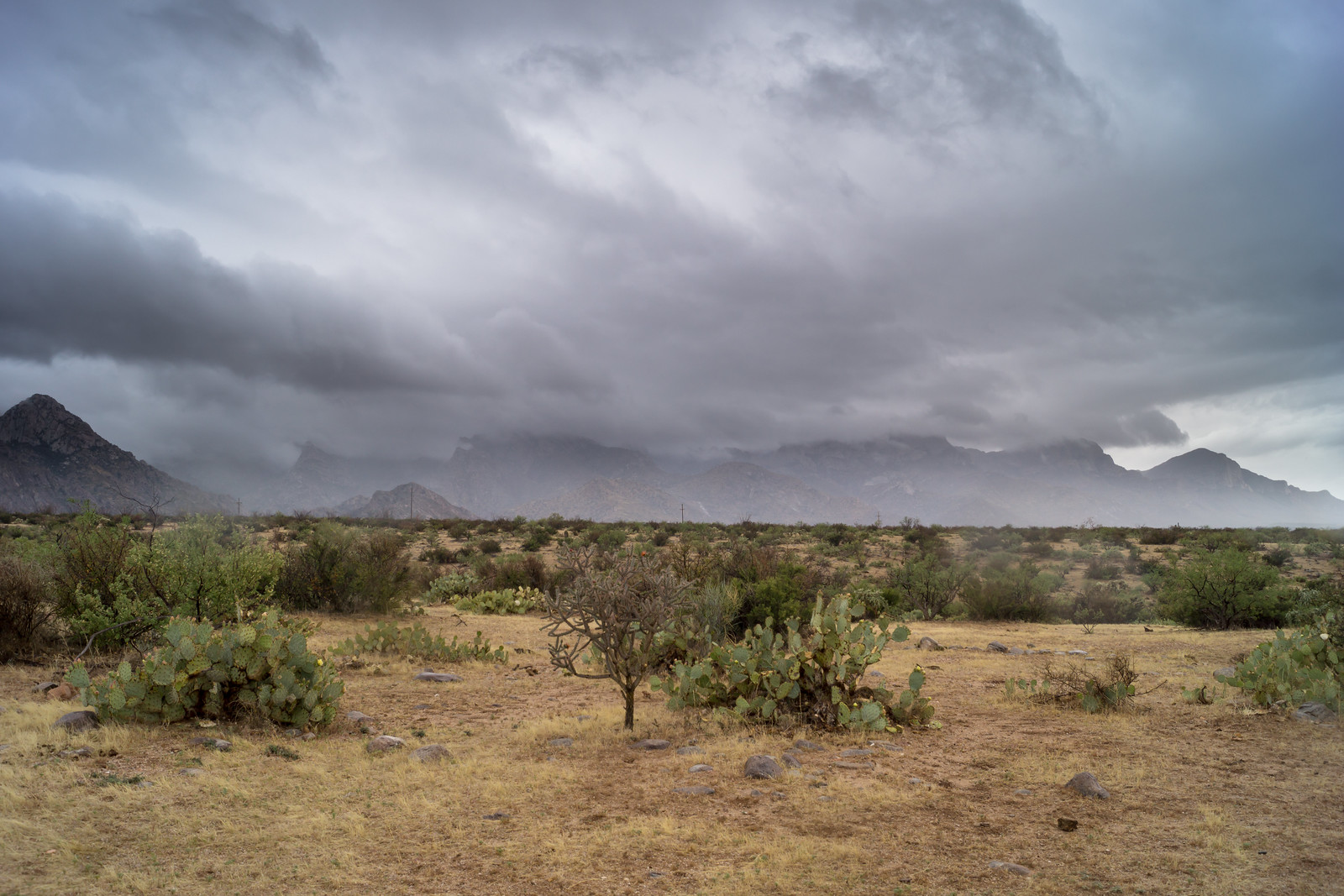
A number of articles about the summer storm and heavy rains yesterday:
- Woman nearly hit by lightning – KVOA New 4 Tucson – A woman car-camping in the Mount Bigelow area is knocked down by a nearby lightning strike.
- Monsoon storm brings lightning, heavy rain and mudslides to Mt. Lemmon – KVOA New 4 Tucson – Another lightning mention but also briefly mentions the rock and mud slides impacting the highway.
- Severe weather causes rock slides on Mt. Lemmon – KGUN9 – Reports rock slides and water running across the highway.
- Power restored to most customers following storm – Arizona Daily Star – This leads off with a great picture of a section of the Catalina Highway covered in mud! The article also mentions that the Palisade Ranger station received 1.5″ of rain while none was reported at the Airport.
- Highway Reduced to 1 Lane – Pima County Sheriff – from yesterday “Catalina Highway is down to one lane due to rock slides from mile post 9 to 16. Use caution and try to stay out of the area. There is no estimate on time for when the road will be fully open.”
