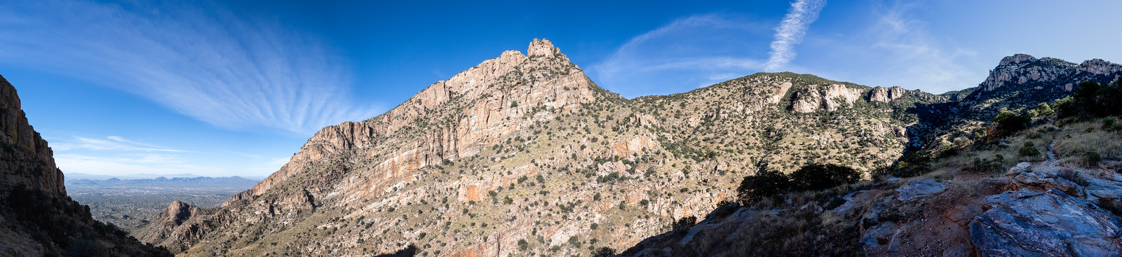
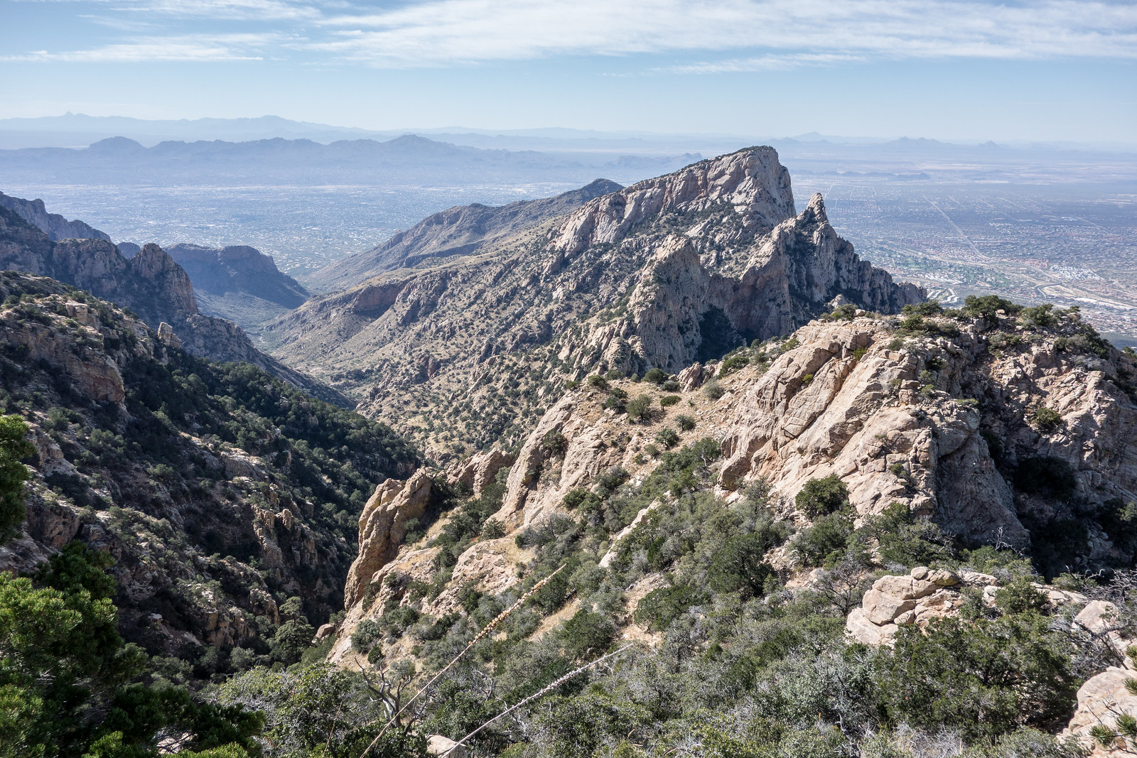
5/15/2016 – See Burned and Disappearing, Upper Pontatoc Canyon Trail – 3/5/2016 and Pontatoc Canyon Trail for some pictures from the edge of the area impacted by the Finger Rock Fire.
8/8/2015 – 2pm: As noted in the InciWeb update below on Friday there was precipitation along the entire south side of the Santa Catalina Mountains including the area covered by the Finger Rock Fire. At about midnight – after the rain had passed – I drove to the Richard McKee Finger Rock Trailhead and could not see any flames/glow/hotspots from the fire – with additional weather forecast it seems likely that this is the end of the Finger Rock Fire… It will be interesting to see when the Finger Rock and Pontatoc Trails are re-opened to the public (the caution tape/sign blocking both trails was still in place at midnight on 8/7).
The fire received precipitation yesterday and overnight, and is showing no activity at this time.
The National Weather Service forecast calls for possible storm activity over the next few days, with high relative humidity and the chance for precipitation.
8/7 6pm: InciWeb update for the end of the day:
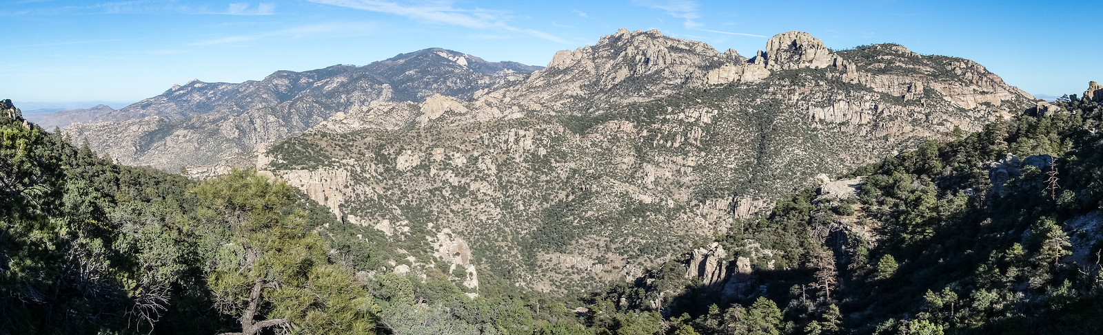
This morning fire managers and the hand crew on standby hiked to the lower edge of Pontatoc Canyon to scout the area and get the lay of the land.
The fire continues to make progress, although not growing significantly. It received precipitation at 4:00 and 5:00 p.m. August 7 and continues to show a low level of activity.
Additional precipitation is forecast for the area.
8/7/2015 – 7am: InciWeb was updated just after 8pm yesterday and listed the fire at 750 acres with this summary:
Forecast for the area from the National Weather Service is for moisture to move into the area. Good humidity recovery expected overnight. Also good chance of rain on or around the fire Friday afternoon and evening with more widespread thunderstorm activity around the area during the afternoon and evening hours.
InciWeb also has an interesting set of photos of the fire posted here. News coverage: Finger Rock Fire grows to 750 acres, Finger Rock Fire in Catalina Mountains grows to 750 acre, Finger Rock wildfire now at 750 acres.

8/6/2015 – 2pm: New information was posted to InciWeb a few hours ago:
Fire became active August 5 when wind and topography aligned. With hot dry weather the fire grew throughout the afternoon into the evening, when relative humidity increased and fire activity decreased. A small amount of smoke was visible on the fire this morning (see photos).
According to the weather forecast for the fire area, moisture is expected to increase today for better humidity values. General wind will be lighter today with very good humidity recovery tonight. More widespread thunderstorm activity in the area Friday afternoon and evening could result in precipitation on the fire.
We may experience another active burning day today, depending on the weather, with decreased activity this afternoon and tonight, through tomorrow.
Planned actions: “Monitoring, suppression resources ready to take action if necessary.”
Recent news links: Finger Rock Fire grows to 500 acres, Finger Rock wildfire grows to 500 acres, UPDATE: Finger Rock Fire in Catalina Mountains grows to 500 acres
8/6/2016 – 8am: The Finger Rock Fire started on July 29th – there is now an entry for the fire on InciWeb with basic information and a concise summary from yesterday:
The Finger Rock Fire was ignited by lightning Wednesday July 29. The fire is near Pontatoc Canyon, on the Santa Catalina Ranger District of the Coronado National Forest. The fire is burning in grass and brush in a steep, arduous terrain in the Pusch Ridge Wilderness. There was very little fire activity until this afternoon, when the fire grew as winds and slope aligned. The fire was estimated to be 150 acres as of this evening. The Finger Rock Trail #42 has been closed to protect public safety. No structures are threatened.
Links:
- A flickr Gallery of pictures of the fire from a number of Tucson Photographers – A search in flickr for Finger Rock Fire brings up relevant results
- Instagram #fingerrockfire – 151 Photos and counting including some stunning images of the fire
- InciWeb Photos
- Wildfire grows to 150 acres in remote area of Catalinas, More photos: Finger Rock Fire – Arizona Daily Star
- Finger Rock Fire is ‘doing what nature intended it to do’ – Tucson News Now
- Finger Rock Fire in the Catalinas reaches 150 acres – KGUN9