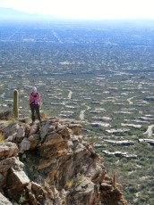
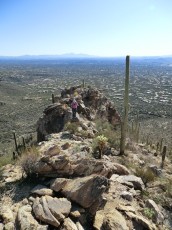
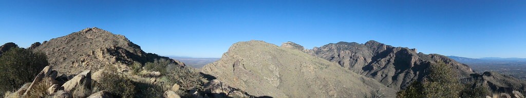
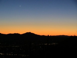
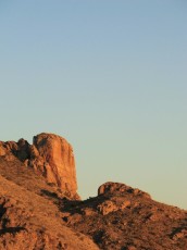
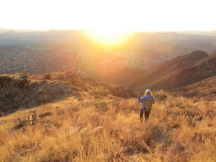
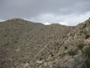
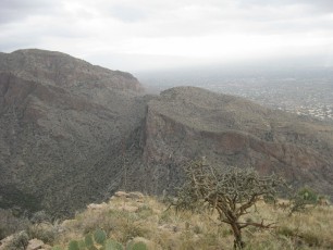
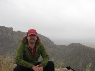
 Pusch Peak and the Ridge to the top. December 2011.
Overview
Pusch Peak’s classic summit is most often accessed via the Pusch Peak Northwest Side Route from the Linda Vista Trailhead – certainly the quickest route to the top… But starting from the Iris Dewhirst Pima Canyon Trailhead there is a more adventurous – and perhaps more beautiful – off-trail adventure that takes a beautiful line up to Pusch Peak – the Southeast Ridge Route.
Hike Stats
- Out and Back
- 4.4 miles
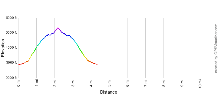
- 2,100' Elevation Gain
- 2,100' Elevation Loss
- Highest Elevation: 5,360'
- Lowest Elevation: 2,900'
Location
- This hike is located in the Santa Catalina Mountains north of Tucson, Arizona. This hike is in the Pusch Ridge Wilderness.
- Start/End: Iris Dewhirst Pima Canyon Trailhead (City's Edge Hikes)
Details
- Fee: No
- Dogs: No (Bighorn Sheep Restrictions.)
- Bikes: No (Pusch Ridge Wilderness.)
- Off-trail hiking in the Santa Catalina Mountains can be hazardous and challenging - make sure you understand the skills you need to stay safe, be cautious and know your limits!
- Pusch Ridge Wilderness: Motorized and mechanized vehicles and equipment, including mountain bikes, are not permitted in Wilderness.
- Bighorn Sheep Restrictions: January 1 to April 30: Travel more than 400′ off of designated Forest Service Trails is prohibited. All year: Dogs are prohibited (except for seeing-eye dogs and handi-dogs), the maximum day use group size is 15 and the maximum overnight group size is 6.
- The trailhead is officially open from dawn to dusk. A permit is required for overnight parking (Pima County Trailheads Permit Request).
Drive
- 9.5 miles from Speedway and Campbell
- 20 Minutes from Speedway and Campbell
- Vehicle Access: Paved Roads/Passenger Car
Pusch Peak Southeast Ridge Route Elevation Profile
Driving Directions
Suggested driving directions from the Speedway and Campbell intersection in Tucson to the Iris Dewhirst Pima Canyon Trailhead:
- Drive West on Speedway (6.2 miles)
- Right on Euclid and continue on 1st Avenue (7.1 miles)
- Continue onto Christie (1.4 miles)
- Right on Magee (0.2 miles)
- The road ends with the Trailhead on the right. This parking lot can be crowded/full on nice weekends/holidays.
Google Maps Directions from the Speedway and Campbell intersection in Tucson to Iris Dewhirst Pima Canyon Trailhead.
Trail Notes
The mileages and elevations below are approximate (don't expect the values below to match your GPS exactly).
- 0.0 miles, 2900′: Park at the Iris Dewhirst Pima Canyon Trailhead. This hike starts on the Pima Canyon Trail (the only trail the leaves from this trailhead – the trail leaves from the east side of the parking lot). [Waypoint PC TH]
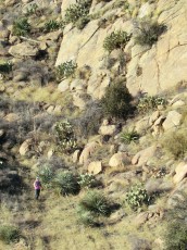
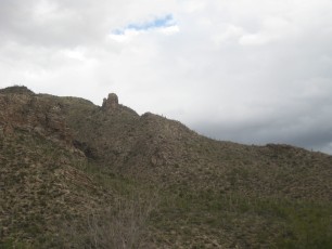
- 0.5 miles, 3100′: Roughly .5 miles along the trail look for the best place to leave the trail and head up a ridgeline to a large rock outcropping (this outcropping is visible from the parking lot and shown nicely in this blog post) [Waypoint PPSE01]. I am not aware of a clearly defined trail or clearly ‘best way’…
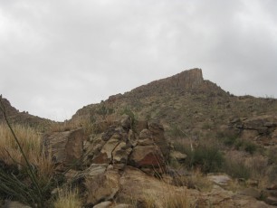
- 1.0 miles, 4500′: The rock outcropping is a good landmark on the way up and down [Waypoint PPSE02]. Hike to the NE end of the outcropping – a nice spot for a break!
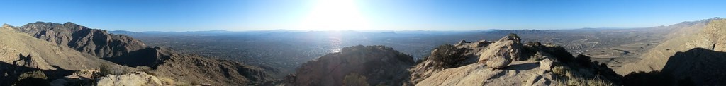
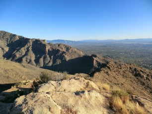
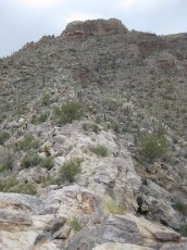
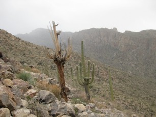
- From the NE end of outcropping head up the hill onto a ridge, as you get higher you will start to have views of Pusch Peak and the path along the ridgeline to the top.
- Follow the ridgeline to the top! 2.2 miles, 5350′ – [Waypoint PP].
Pusch Peak is named for George Pusch who purchased the Steam Pump ranch on the west side of the Santa Catalina Mountains in 1874 – see the Pusch Ridge Wilderness for more details.
Maps
Resources
- Trail Talk – Summit Hut Blog – Pusch Peak, by Charles, Tuesday, May 15th 2012
- The Santa Catalina Mountains, A Guide to the Trails and Routes
- Posts on HikeLemmon.com:
Pictures
2011 Dec Pusch Peak Christmas!
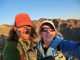
2011 Dec Pusch Peak and The Cleaver via Pima Canyon
Update Notes
- 2014/7/27 – Split this page from the original Pusch Peak page that had both routes