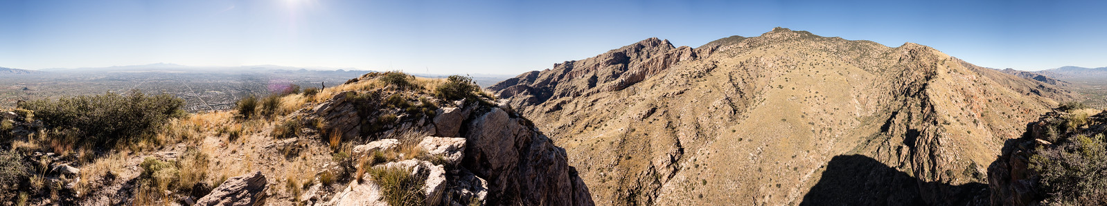
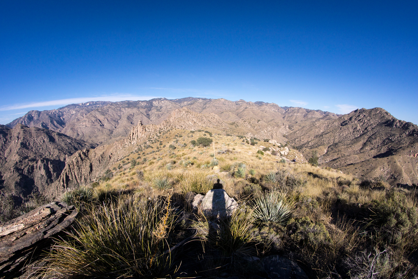
Holiday hike to both the end of the trail sign on the Pontatoc Ridge Trail and to the top of Pontatoc Ridge – great to be outside! 5.4 miles, 2300′ of elevation gain and loss.
Holiday hike to both the end of the trail sign on the Pontatoc Ridge Trail and to the top of Pontatoc Ridge – great to be outside! 5.4 miles, 2300′ of elevation gain and loss.
The Coalition for Sonoran Desert Protection has a $60,000 year-end fundraising goal and has a donor who has pledged a $15,000 matching gift which is currently (11/29/2014) doubling donations. In a recent mailing the Coalition indicated that in the upcoming year donations will support: a campaign to help pass a new Open Space Bond in Pima County, a re-vegetation project adjacent to the Oracle Road Wildlife Crossing and a new Wildlife Crossing Steward Program.
Stop bighorn relocation project – Green Valley News and Sun, Wildlife group to protest AZ Game & Fish Department – Tucson News Now: Two pieces about the Friends of Wildlife and their protest/opinion that the Bighorn Sheep Reintroduction effort should be stopped.
Hiker rescued out of Romero Pools – KVOA – Jessica Gutierrez: Sprained ankle leads to a flight out.
Coronado National Forest Selects Accela Civic Platform for Recreation and Resource Management – A press release about the Coronado National Forest selecting the Accela Civic Platform, from the press release it is impossible to know if Coronado will/can/has plans to leverage this in the Santa Catalina Ranger District in any meaningful way.
Monsoon-nurtured grasses could fuel winter wildfires – Douglas Kreutz – Arizona Daily Star: I suppose the straight to the point quote in the article is “The potential for winter wildfire on the Coronado National Forest exists” – the article mentions monsoon rains as a factor in the creating the current “abundance of grasses and other fine fuels” but it would be interesting to know how unusual this year is…
Scenic Sabino is the spot for a stroll – Kristen Cook – Arizona Daily Star: Always great to remind people about the great opportunities to explore the outdoors in Sabino Canyon!
OFF-ROAD CYCLISTS Riding trails of advocacy – Nick Meyers – Aztec Press Online: Nice post about TORCA – Tucson Off-Road Cyclists and Activists. An exceprt from TORCA’s About page: “TORCA’s Mission is to take an active and strategic role in the mountain biking community in the maintenance of the resources available to us. We are focused on the All-Mountain and Downhill disciplines of mountain biking with a focus on the Santa Catalina Mountains.”
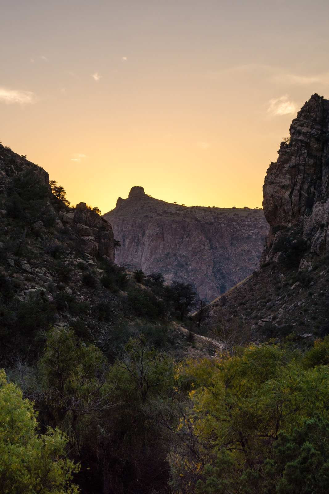
If it wasn’t for Finger Rock Thimble Peak would probably be the most recognizable peak in the Santa Catalina Mountains. While there is no official trail to Thimble Peak it is a well traveled destination.
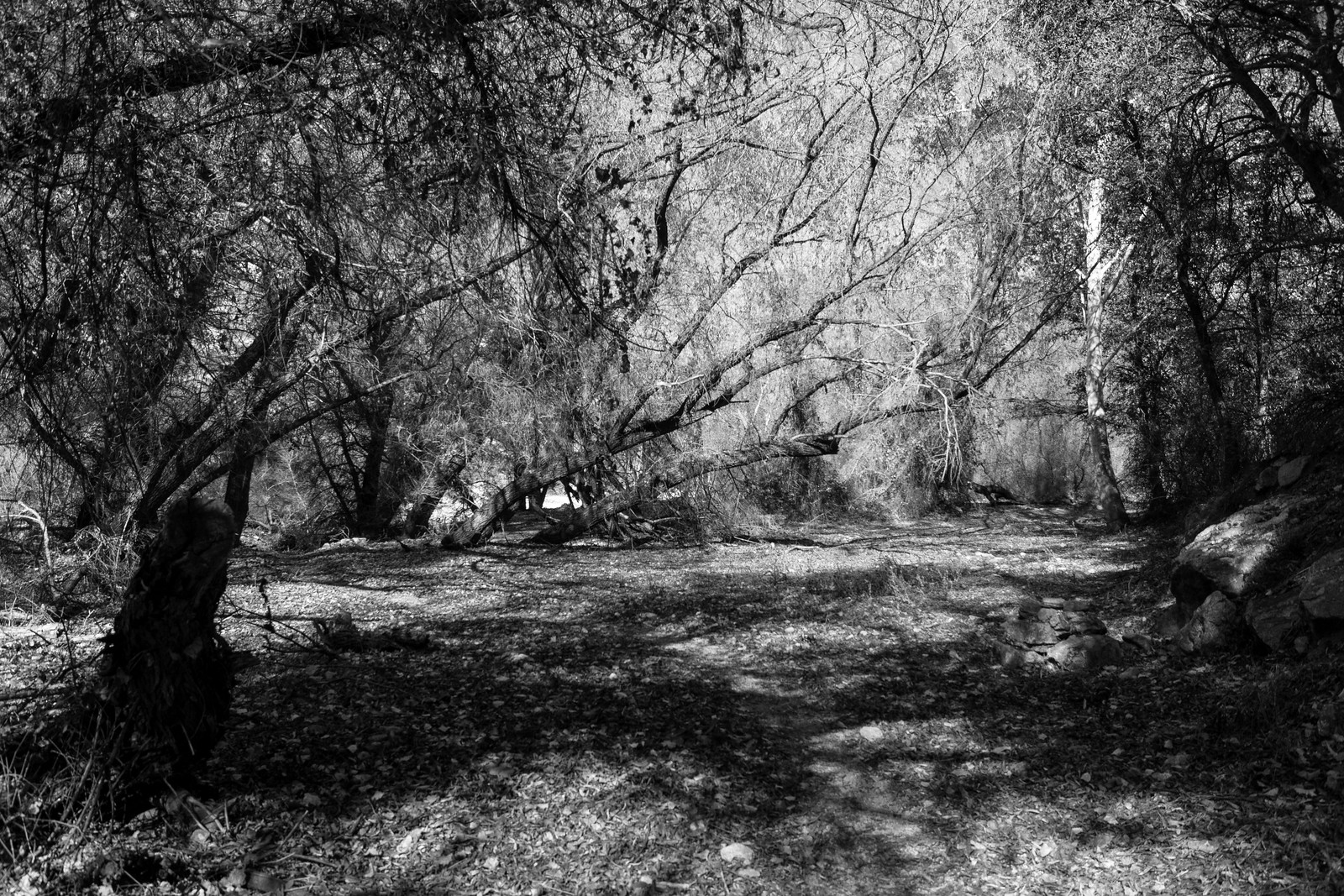
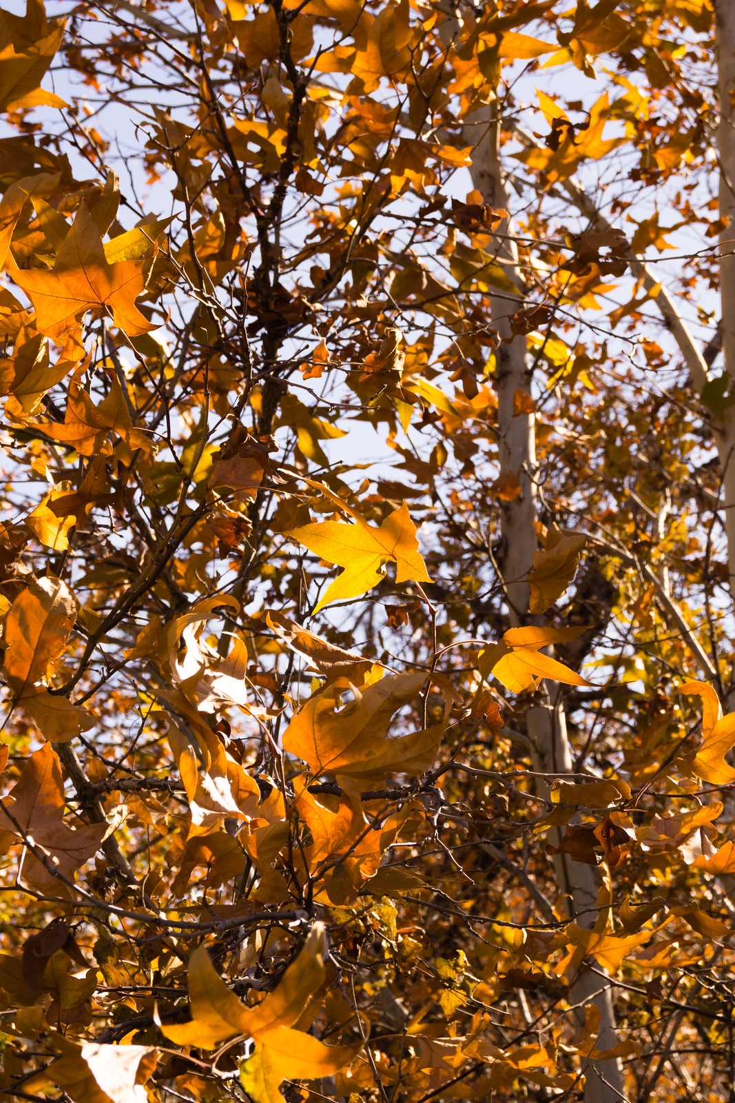
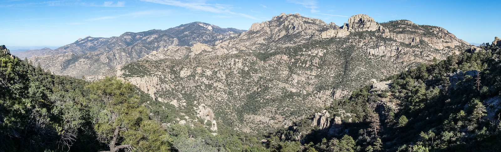
We started at the end of the road in the Gordon Hirabayashi Recreation Site – Molino Basin Trail to Shreve Saddle – Sycamore Reservoir Trail on fallen leaves – along Sycamore Canyon thru small patches of color.
The Bear Canyon Shortcut Trail takes us up to the Bear Canyon Trail and we follow it to the fantastic lookout where the unofficial trail to the Thimble breaks off into a sea of grass.
The trail climbs, curves and climbs again – overgrown in places, but cairns and sections of trail keep appearing until we touch the base of the Thimble.
It’s surprisingly chilly in the shade and we retreat along the ridge into the sun to take a break and enjoy the day before walking back over our footprints to the car… 11.1 Miles, 2580′ of elevation gain/loss. Some good sources of information: Summit Hut Trail Talk – Thimble Peak – David Baker, Hike Arizona – Thimble Peak.
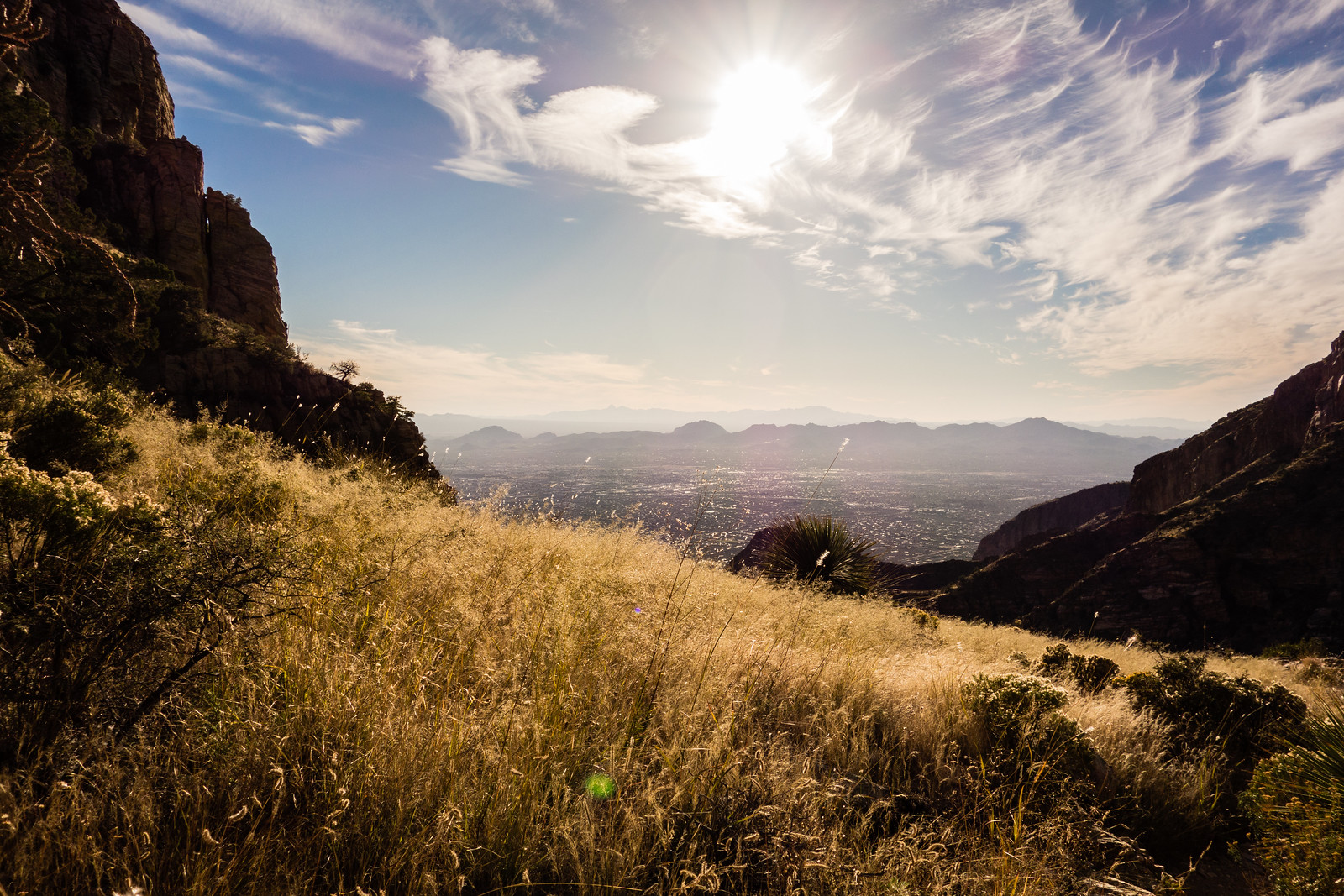
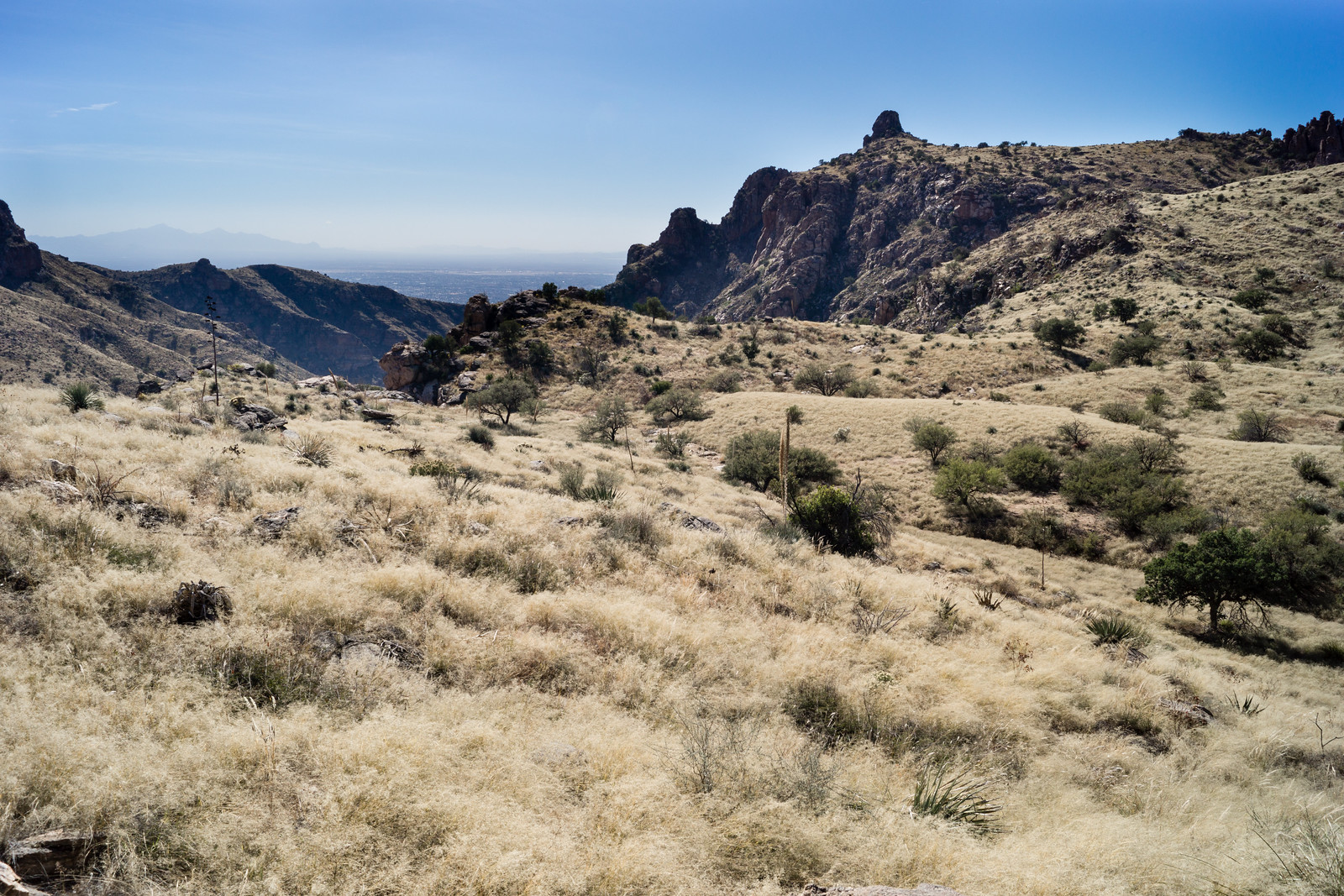
The weather is finally great for lower elevation hikes! On this hike up Finger Rock I especially enjoyed the section above the turn to Linda Vista where the trail winds in and out of small drainages below big cliffs, the feel of the trail underfoot and plants around you constantly changing.
I had hoped to go a bit further than the junction with the Pima Canyon Trail – but I ran out of time and and it is hard to argue with the junction as a stopping spot with the view below just a minute away… 9.5 miles, 3950′ of elevation gain/loss.
In September I did a run half as long as today’s and posted about how hot it was – Too Hot – Linda Vista Trails – 9/4/2014 – what an exciting time of year when the weather changes and these lower elevation trails become fun and accessible! 3.3 miles, 520′ of elevation gain/loss.