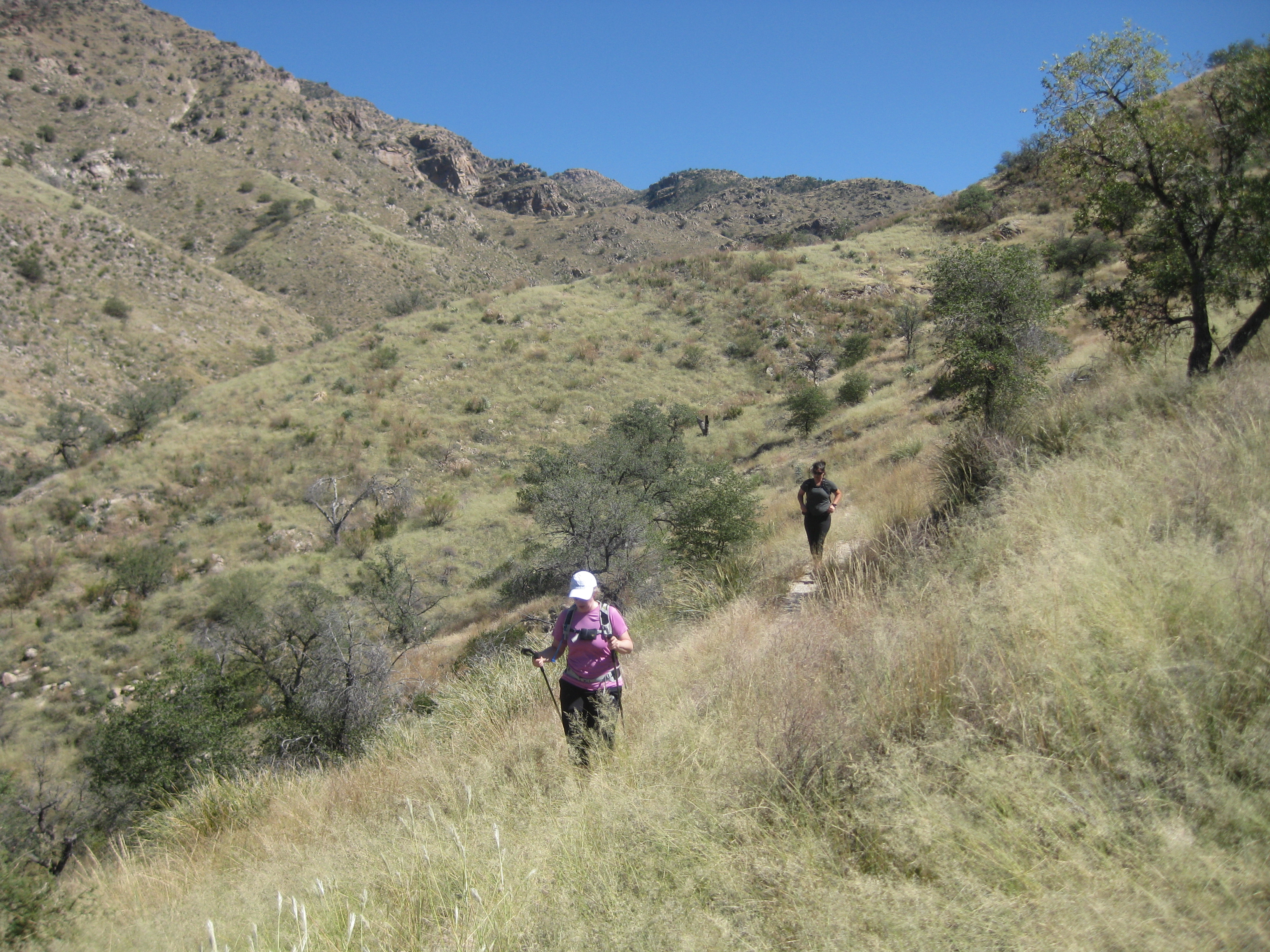
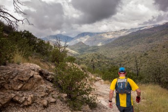
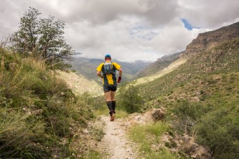
Running the East Fork Trail. October 2011.
Overview
The East Fork Trail #24A is a lovely trail in the interior of the Santa Catalina Mountains that can be used to connect a number of trails and routes.
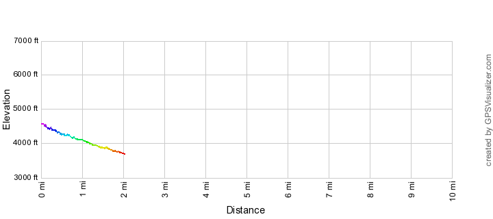
Hike Stats
- One-way
- 2 miles
- 300' Elevation Gain
- 1,200' Elevation Loss
- Highest Elevation: 4,600'
- Lowest Elevation: 3,700'
Location
- In Santa Catalina Mountains north of Tucson, Arizona.
- Start: Junction with the Sycamore Reservoir Trail and Bear Canyon Trail
- End: Junction with the Sabino Canyon Trail and West Fork Trail
Details
- Dogs: Yes
- Bikes: No (Pusch Ridge Wilderness)
- Part of the Arizona Trail
East Fork Trail Elevation Profile
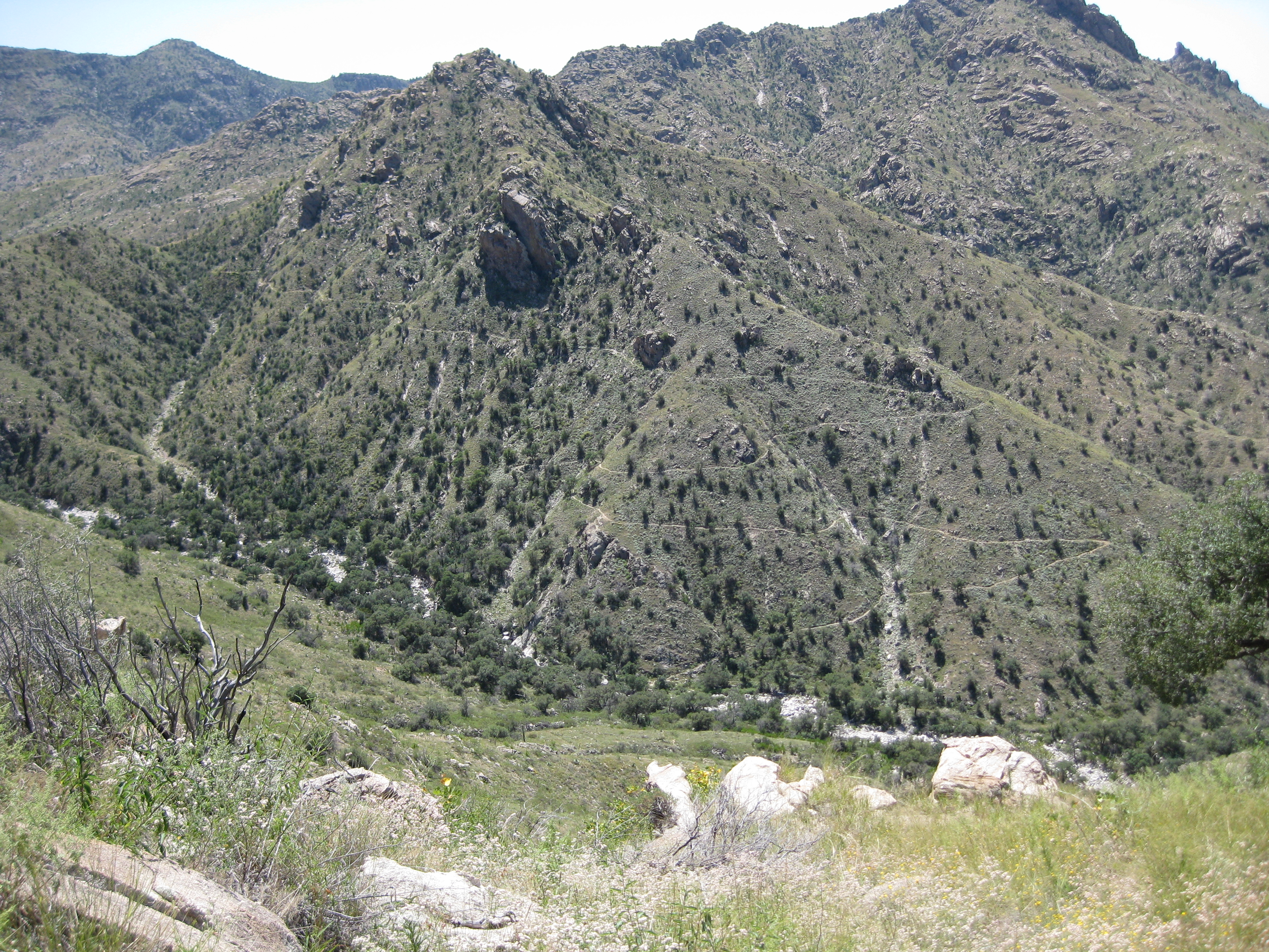
Switchbacks on the East Fork Trail. September 2008.
Trail Notes
This description starts from the eastern end of the trail where it connects to the Sycamore Reservoir Trail and the Bear Canyon Trail.
The mileages and elevations below are approximate (don't expect the values below to match your GPS exactly).
- 0.0 miles, 4600′: At it’s eastern end the East Fork Trail connects with the Bear Canyon Trail and Sycamore Reservoir Trail at a signed junction.
- 1.0 miles, 4150′: Signed junction with the Palisade Trail – the East Fork continues along the south side of the canyon.
- 1.95, 3750′: Signed junction with the Box Camp Trail – the Box Camp Trail comes in from the north.
- 2.0 miles, 3700′: The western end of the East Fork Trail – signed junction with the Sabino Canyon Trail and West Fork Trail.
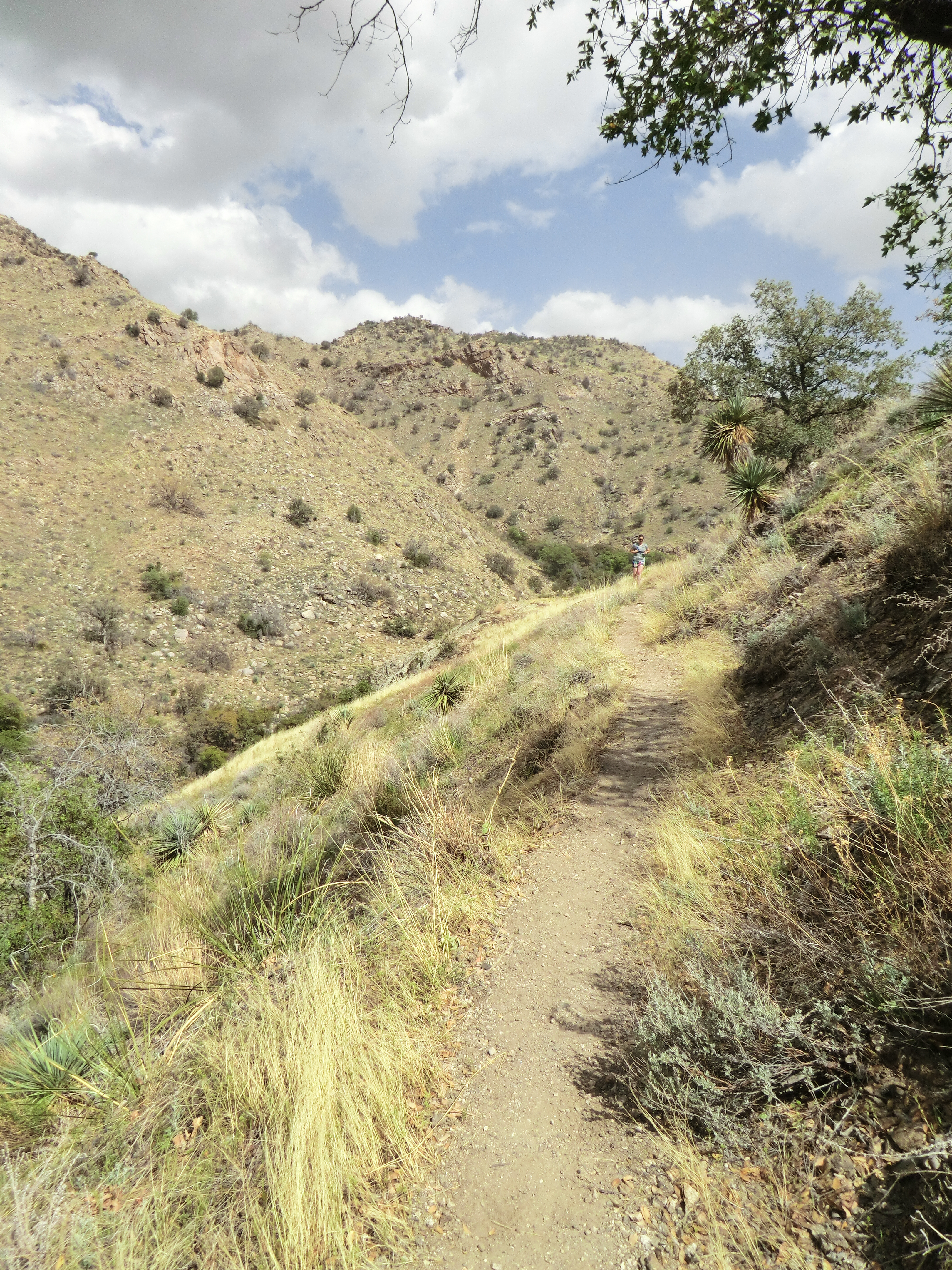
Lovely grassy hillside. April 2013.
Maps
Resources
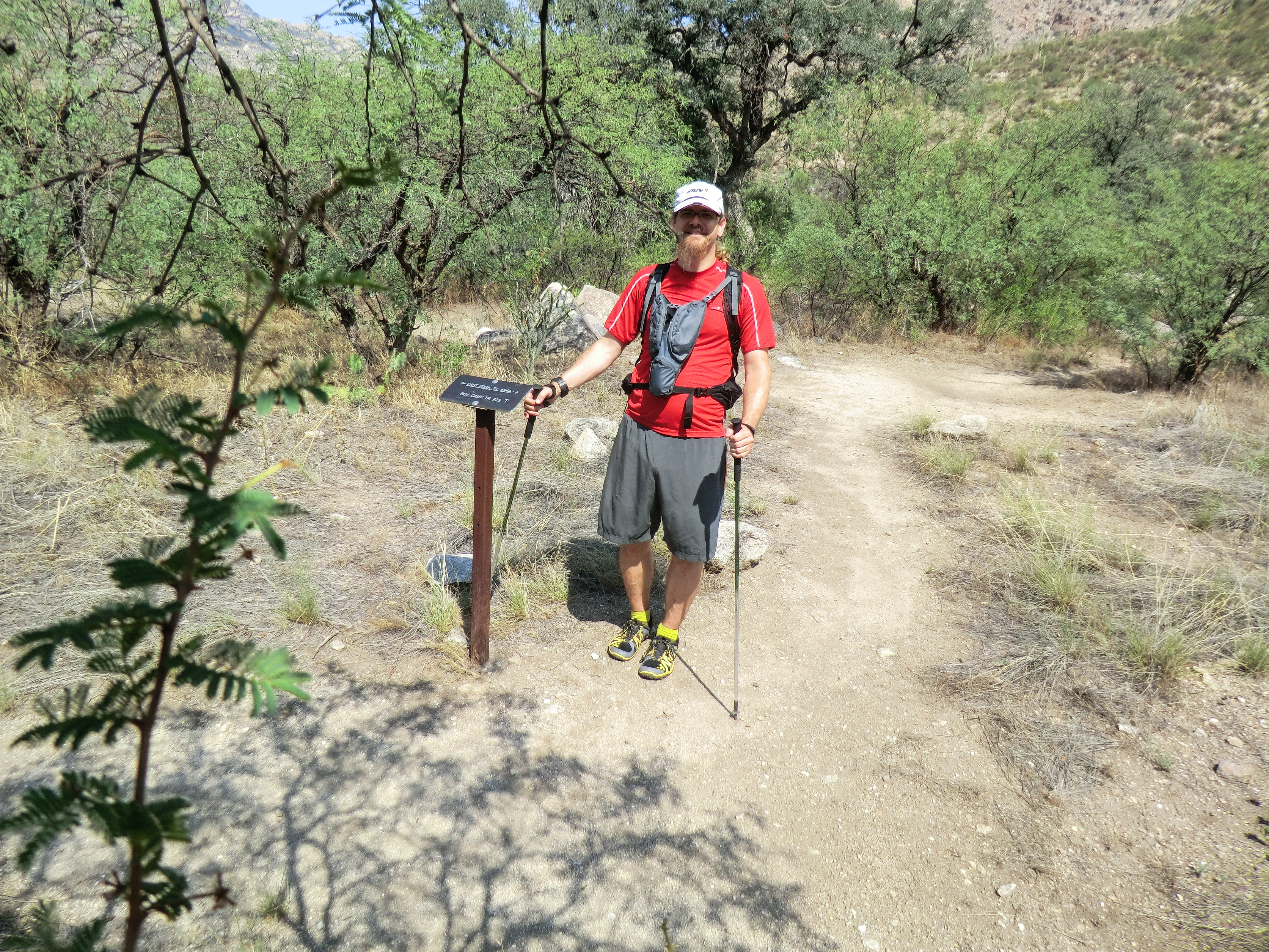
The junction of the East Fork and Box Camp Trails. August 2013.
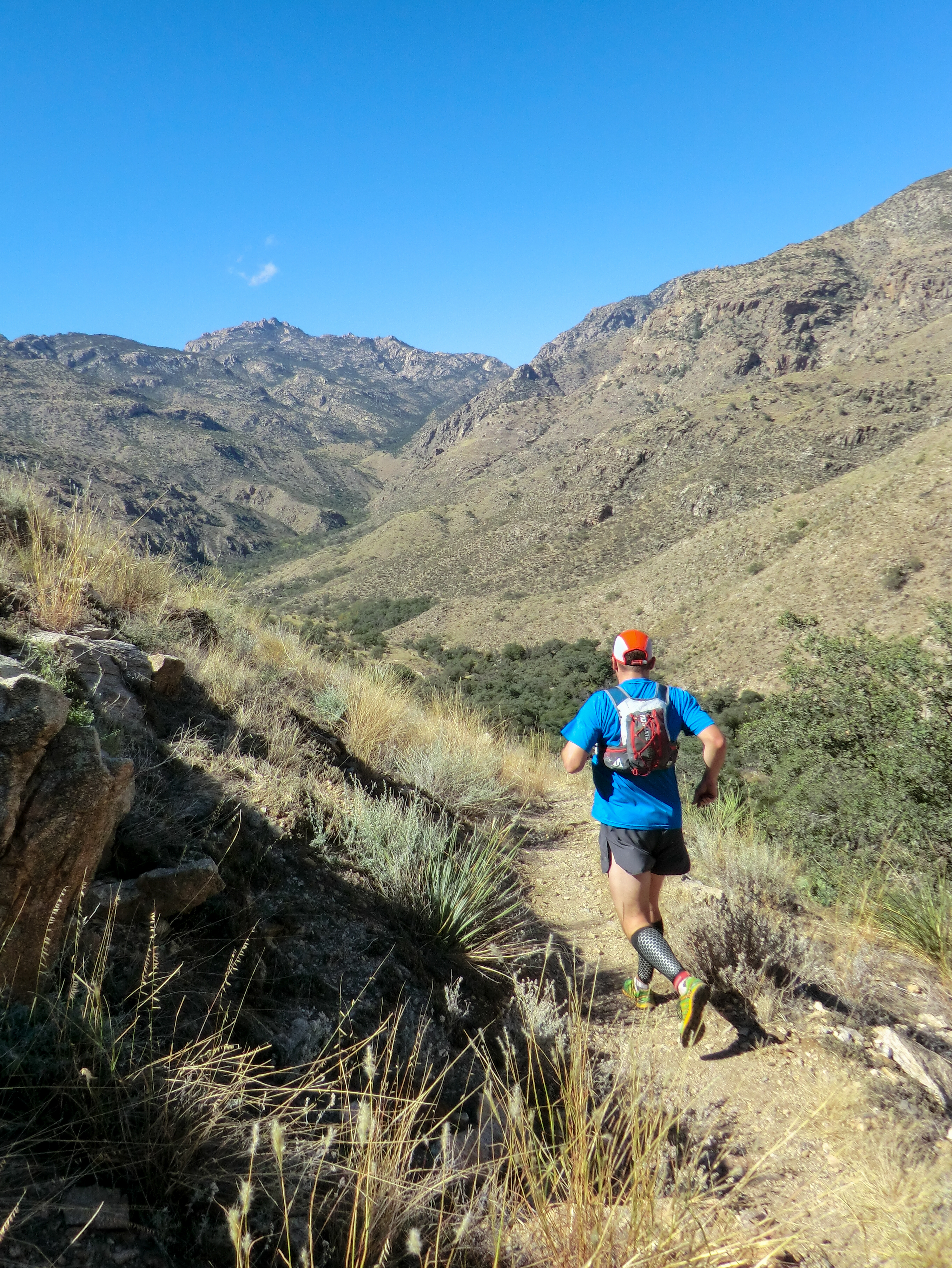
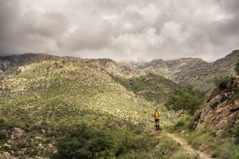
Running the East Fork. October 2013.
Pictures
2014 September Prison Camp to Sabino Canyon


Update Notes
- 2017/8/3 – Img Srcset update
- 2014/7/12 – Small Track Edits, Palisade and Box Camp junction waypoints, format update
- 2014/2/24 – Move to hikelemmon