Upper Palisade Canyon – 2014/7/13

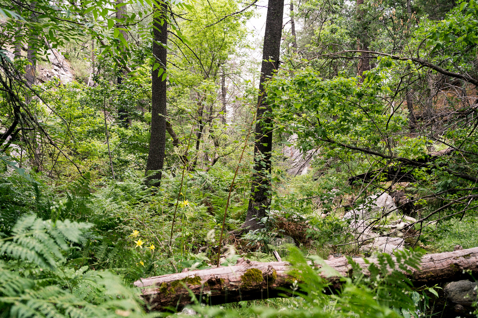
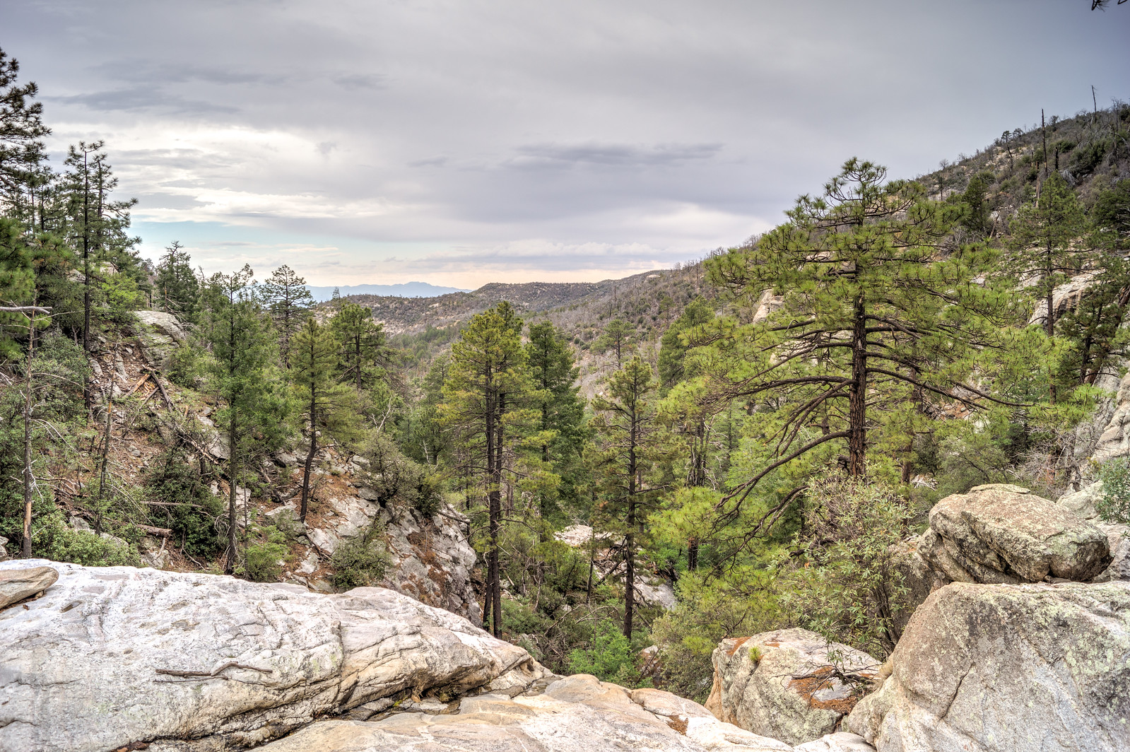
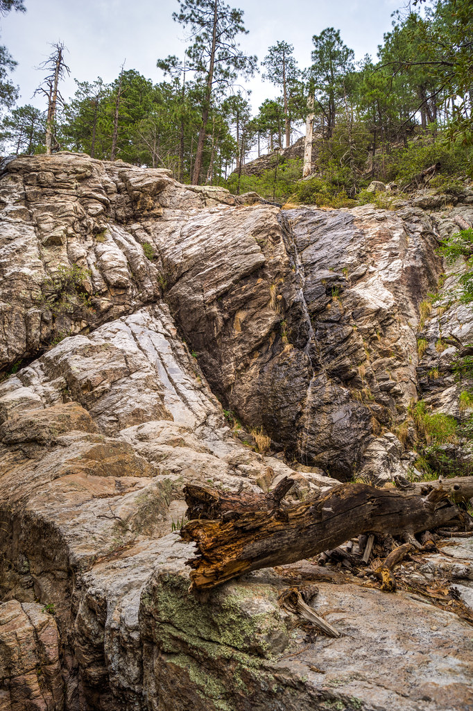
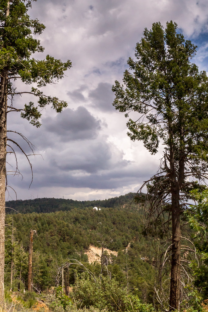
The upper section of Palisade Canyon – well above its junction with Spencer Canyon and the technical section of the canyon – is a beautiful place to visit. There is an easy trail down to the canyon off the Palisade Trail – but the trail quickly disappears and sections of (potentially challenging) off-trail rock scrambling flow together with puzzles of over-grown brush and fallen trees, be careful and know your limits if you try to travel the bottom of the canyon!


1407 Overcast Green
Open section of canyon alternate with beautiful green. July 2014.


1407 Above one of the falls in Upper Palisade Canyon
Above one of the falls in the canyon – looking down canyon. July 2014.


1407 Falls
Falls with a small stream of water. July 2014.

Butterfly Peak – 2014/7/6

About .9 miles down the Butterfly Trail from the Upper Butterfly Trailhead the trail reaches a small saddle with an old campsite. The Butterfly Trail continues downhill from here to its junction with the Crystal Spring Trail – but another trail, un-official but well worn, continues up the ridge from the campsite out to Butterfly Peak.

1407 Clouds From Butterfly Peak
Looking out from Butterfly Peak. July 2014.

Along the trail to Butterfly Peak there are several nice spots under the trees to stop and near the peak there are  nice views of both the top of the mountain and across the San Pedro River Valley – definitely worth a visit!

News – Fire Restrictions Lifted, Bighorn Update

Coronado National Forest to Lift Fire Restrictions Fires to be Permitted Friday, Visitors Reminded to use Caution, Coronado National Forest and Coronado National Forest lifts all fire restrictions, KVOA – Fire restrictions have been lifted due to rain/moisture levels! KVOA reports that “Arizona has still had nearly 1,000 wildfires this year scorching over 150,000 acres” and, of course, the Coronado National Forest Press Release urges caution.

Bighorn status update for 6/23 to 7/7 (all updates are currently available here) – no mortalities and the 5 lambs reportedly continue to appear healthy. The maps in this report are fascinating – the sheep in these maps are in the very southwest corner of the range with movement in nearly all directions from there – they are certainly crossing a number of popular trails!

News – Rain! Fire Restrictions Still In Effect

Mountain flowers get a boost from the monsoon – Arizona Daily Star – Flowers!

Fire Restrictions in Southern AZ Remain Despite Monsoon Storms – Arizona Public Media – Not enough rain/moisture yet to safely lift restrictions.

Monsoon off to a splashing start – Arizona Daily Star – Article includes rain totals since 7/3 for several points in the Santa Catalina Mountains – over 3″ at the Palisade Ranger Station!

Spencer Peak – 2014/7/6

1407 Mount Bigelow Telescopes from Spencer Peak
Mount Bigelow Telescopes from Spencer Peak. July 2014.

While glancing at the map I noticed Spencer Peak… Close to the road and to the Box Camp trail, but I had never taken the time to visit…

I started on the Box Camp Trail for a few minutes, left the trail and followed the utility lines uphill and then when the utility lines take a sharp turn left them and followed the small ridge uphill to the peak.

I didn’t find spectacular views or a stunning summit – but for 10 minutes or so of effort it was interesting to sit alone on the peak and enjoy the mountain!