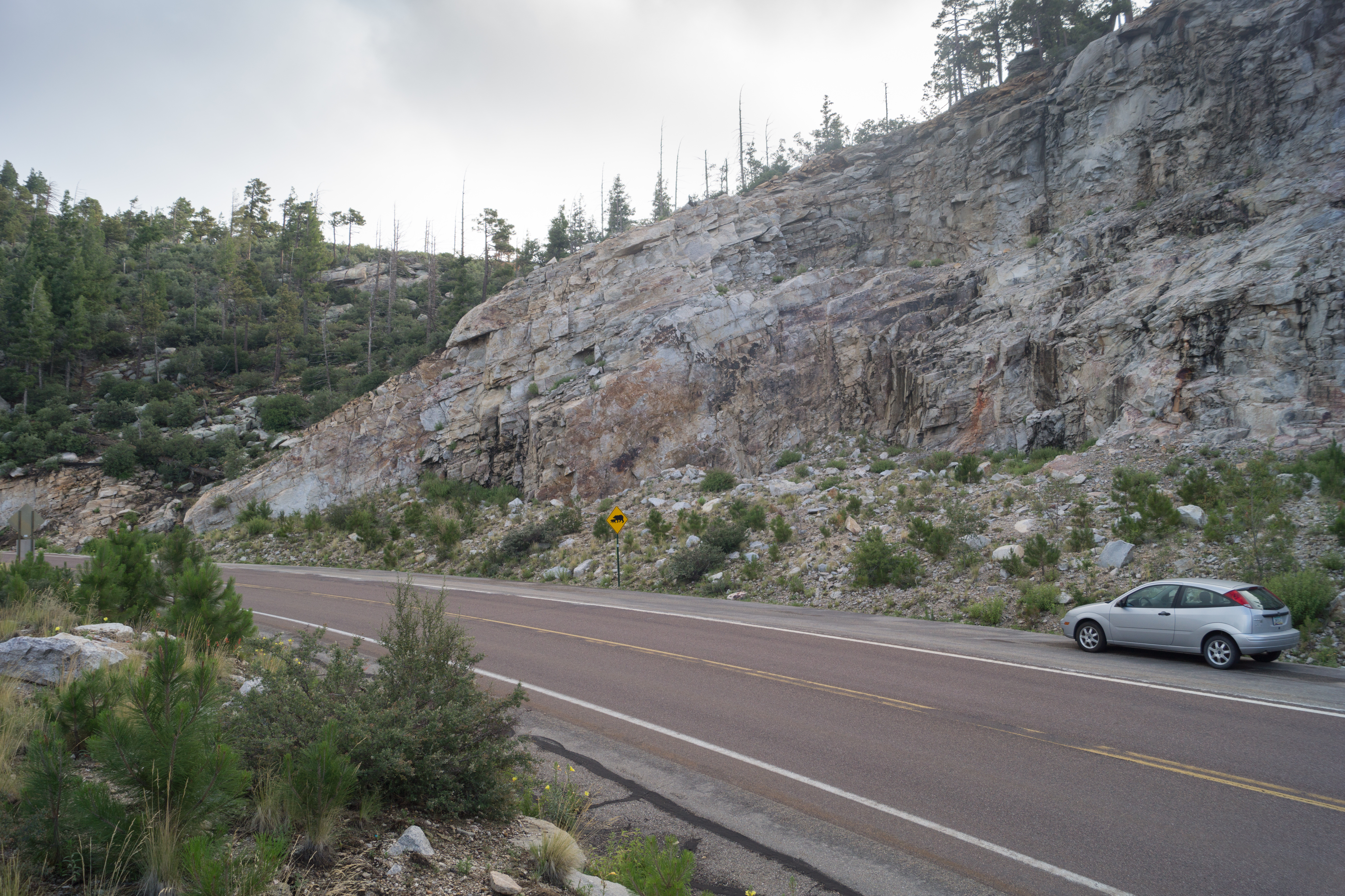
Ridgeline Parking Pullout. July 2013.
Overview
Location
- Upper Highway Hikes - Santa Catalina Mountains - Southern Arizona
- Google Map Coordinates: 32.40557573 -110.69947466
- At This Trailhead: Unofficial trail link to the Incinerator Ridge Trail and Kellogg Trail, Upper Sycamore Canyon (off-trail), Ridgeline Climbing Area
- Nearby Trailheads and Parking: Up-mountain Kellogg Trailhead, Down-mountain San Pedro Vista
Driving Time and Distance from Tucson
- 1 Hour from Speedway and Campbell
- 32.3 miles from Speedway and Campbell
- Miles up Highway: 18.4 miles
- Side of the Highway: Up-mountain
- Vehicle Access: Paved Roads/Passenger Car (Mountain Road - be careful of weather conditions!)
Fees and Services
- Fee: No
- Restrooms: No
- Water: No
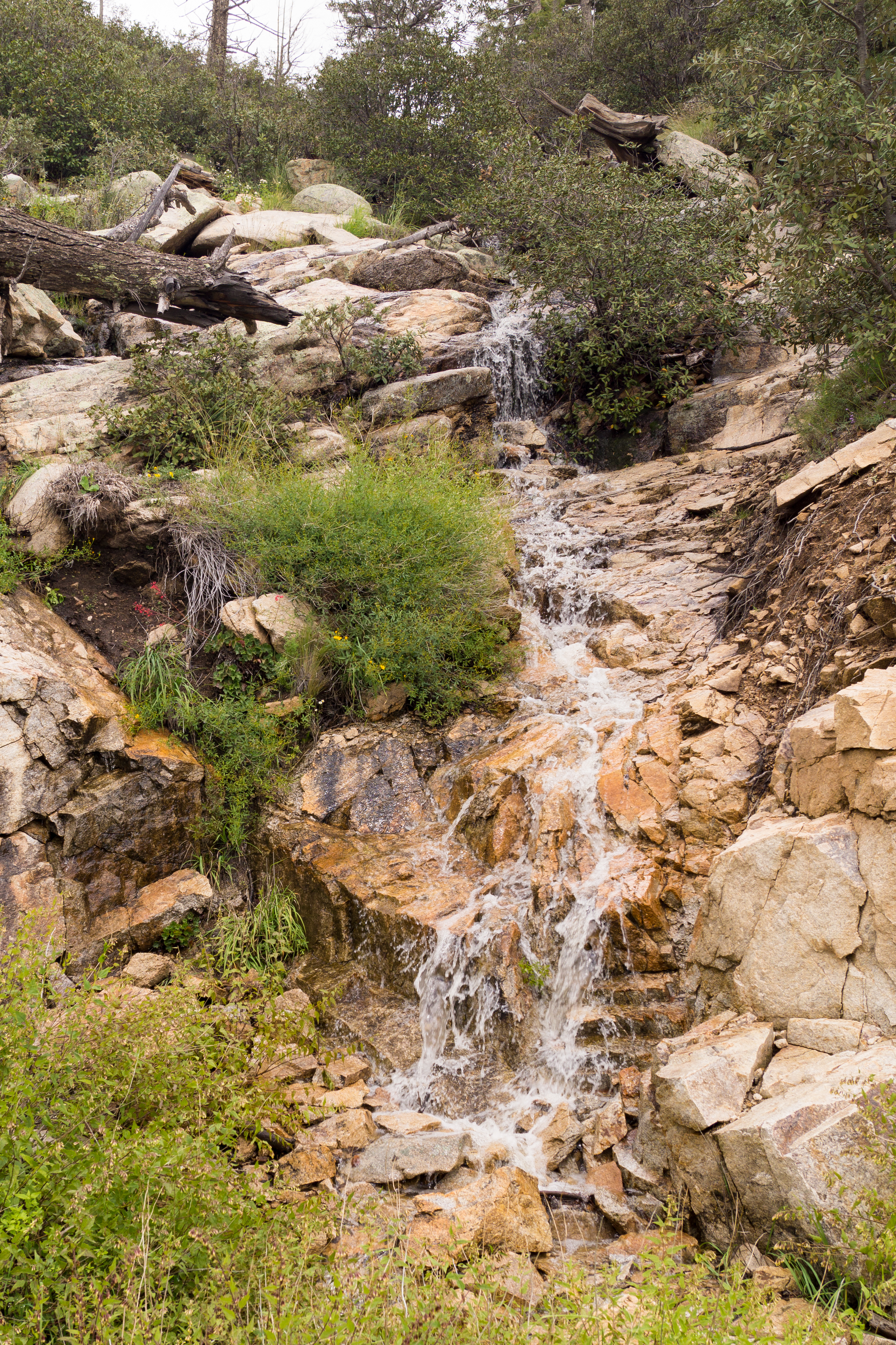
Water running in the small drainage near the Ridgeline Parking Pullout - the unofficial climbers trail to the Incinerator Ridge Trail and Ridgeline Climbing Area starts to the left of the drainage. September 2014.
Driving Directions
Suggested driving directions from the Speedway and Campbell intersection in Tucson to the Ridgeline Parking Pullout:
- Drive East on Speedway (5.0 miles)
- Left on Wilmot and continue on Tanque Verde (4.3 miles)
- Left on Catalina Highway (22.9 miles)
- The parking pullout is located on the up-mountain side of the highway under a large road-cut.
Google Maps Directions from the Speedway and Campbell intersection in Tucson to Ridgeline Parking Pullout.
All Trailheads - Map
Update Notes
- 2019/1/29 – Resources section added
- 2017/8/13 – Img Srcset update, add All Trailheads Map