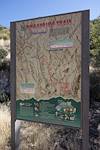
Upper Green Mountain Trailhead, Green Mountain Trail, Guthrie Mountain Trail - I have been on the Guthrie Mountain Trail a number of times but today I made time for something new - nearly to the top of Guthrie I take a faint old trail and follow cairns along the ridge east of the Guthrie Mountain - this trail is marked as a route on the 'SAHC' map but that seems very optimistic at this point...
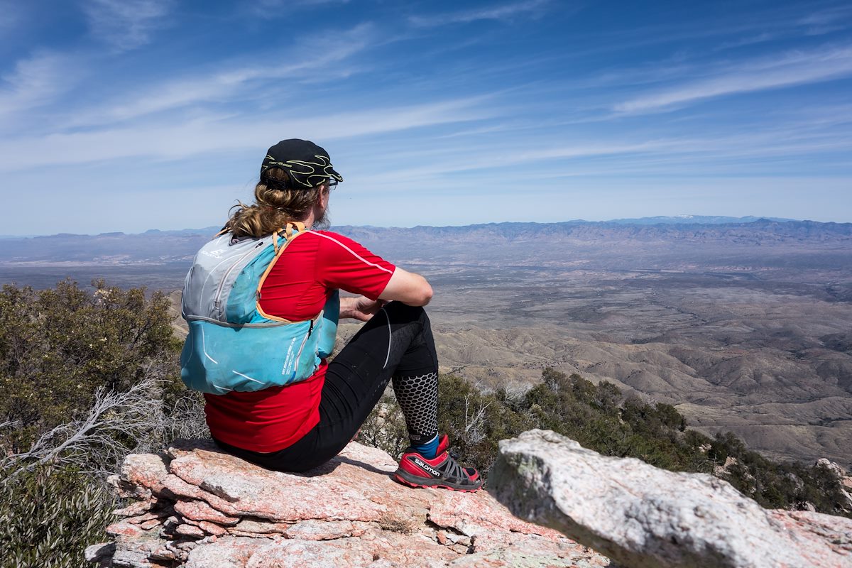
I skirt Point 7162 (I had been there last March and tag it on the way back) - the cairns disappear - eventually I reach a small rock formation that seems to be the high point of the ridge - this is my original 'starred' destination from the 'SAHC' map - but after battling thru the brush along the ridge it seems impossible to turn around without going out to Point 6925 -
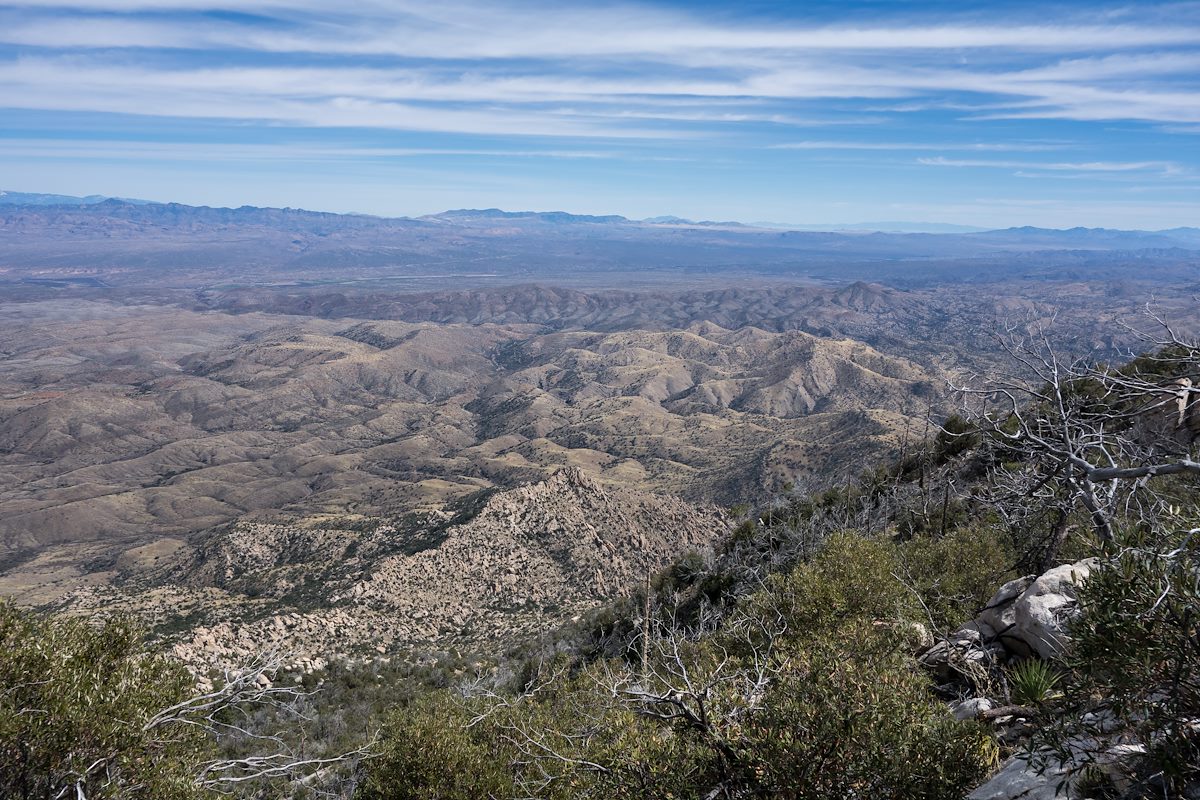
The ridge out to Point 6925 is a bit of a thrash but the views are interesting and worth it - not sure how many times I need to do this hike - but it was certainly fun!
flickr - 2014 March Guthrie Ridge to Point 6925 and Maverick Spring