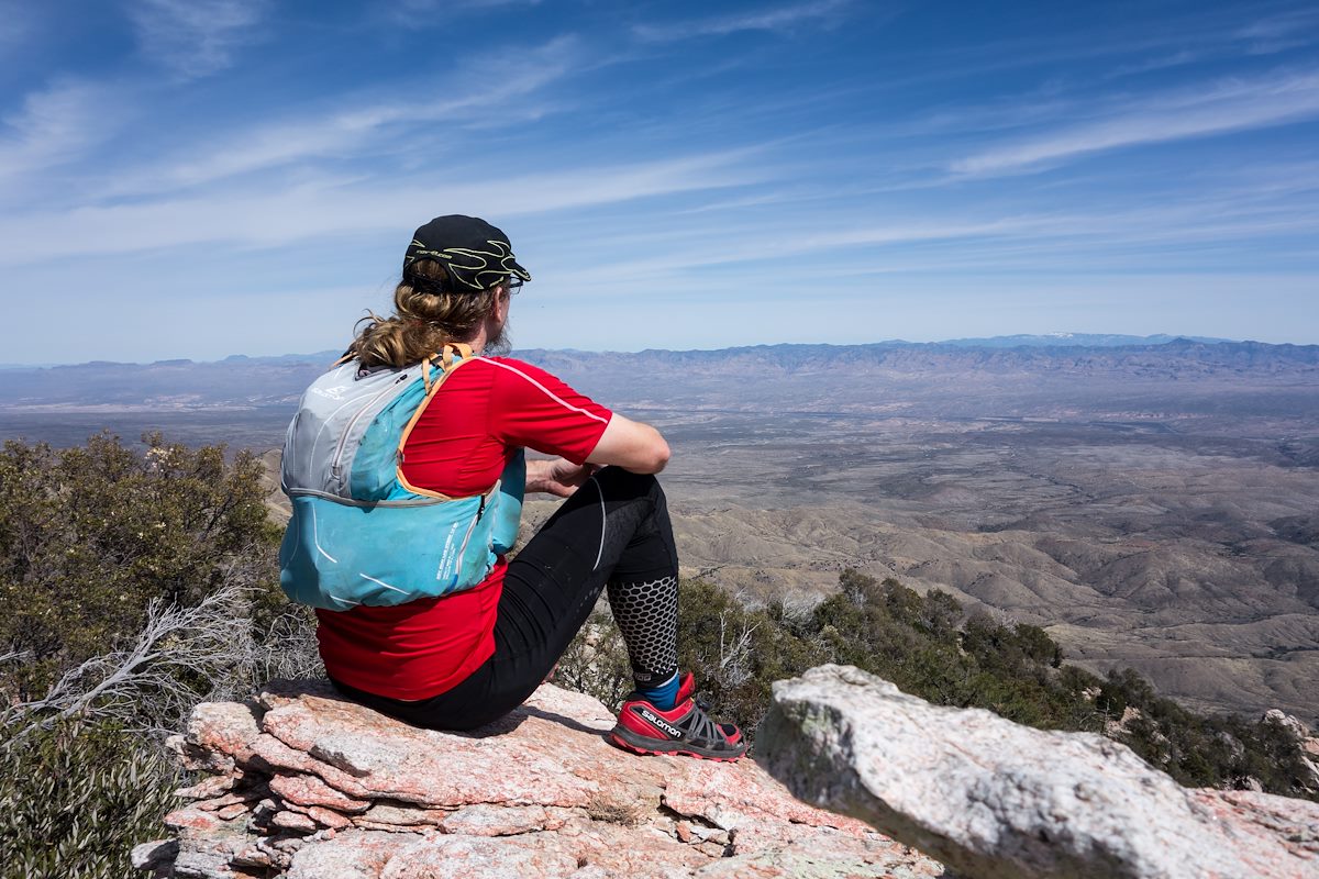
2014 March Rocky Point along the Ridge East of Guthrie: I believe this is the starred point on the 'SAHC' Map east of Guthrie Mountain - the 'Cowgill' Guthrie Mountain from the classic Yellow Guide. Charles Miles. 3/5/2014.
ƒ/6.3
1/800
ISO 125
10.4 mm
28-100mm F1.8-4.9
SONY
DSC-RX100
©2014 Charles Miles
Tags:
arizona
butterfly roadless area roadless area
charles
coronado national forest
guthrie mountain
pima county
santa catalina mountains
santa catalina ranger district
Related:
Photographs - March 5, Wednesday, 2014
10/24/2022
Previous/Next:
2014 March Ridge out to 6925
10/24/2022
2014 March A Beautiful Fin of Rock with Evans Mountain in the Background
10/24/2022
Created by Charles Miles on 8/11/2020. Updated by Feature Intersection Tagger on 10/24/2022.